Regional overview
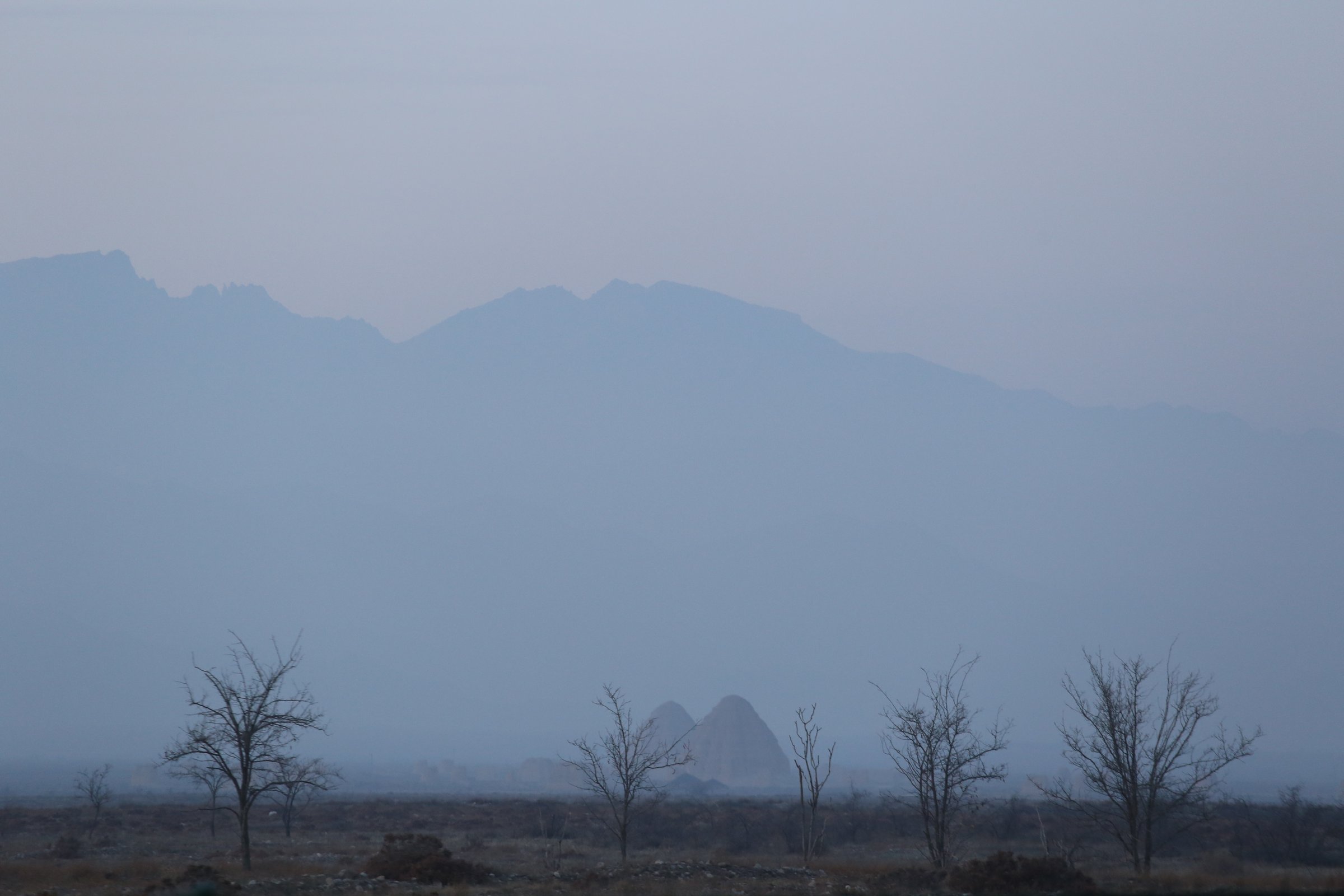
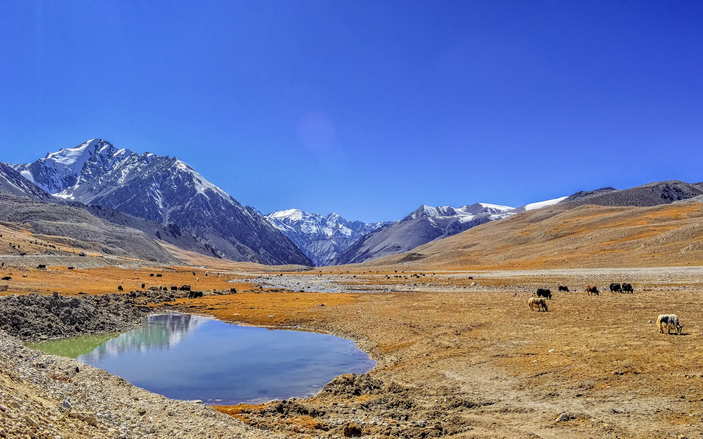
The Helan Mountains are a narrow north-south desert mountain range on the Ningxia-Inner Mongolia border, rising abruptly above Yinchuan and the Alxa desert margins. Sources describe the range as about 220 km long, generally 20-40 km wide, with elevations mostly around 2,000-3,000 m and a highest summit in the 3,500 m range.
The most accessible hiking is on the Ningxia / Yinchuan side: Suyukou National Forest Park, Helankou Rock Paintings, Gunzhongkou, Baisikou, and the lower mountain valleys. Terrain includes steep dry slopes, cliff plank roads, conifer forest pockets, cultural sites, and petroglyph gullies.
Season is mainly April to October. Snow, ice, and cold wind can affect higher and shaded sections outside summer. The range includes protected nature-reserve land; hiking should use formal scenic-area paths or clearly legal access routes.
This is a sourceability draft, not a publication-ready chapter. Official route-stat and GPX sources for the Helan range are limited; several entries below are labelled Partially verified or Candidate only.
Selection rationale
The selection balances the best official hiking infrastructure at Suyukou, a longer recorded Helankou mountain track, a lift-assisted national forest park walk, and two culturally essential foothill / canyon routes.
Summary table
| # | Hike | Route type | Distance | Gain | Max elevation | Difficulty | Verification |
|---|---|---|---|---|---|---|---|
| 1 | Suyukou Cliff Plank Road | Out-and-back / linear | 5.3 km plank road | Moderate / exposed | Partially verified | ||
| 2 | Helan Mountain trek, Helankou | Loop / point route | 15.9 km | 664 m | Moderate | Partially verified | |
| 3 | Helan Mountain National Forest Park cable-up / down loop | Loop / lift-assisted | 3.36 km | 276 m | 2,162 m | Easy | Partially verified |
| 4 | Helankou Rock Paintings canyon walk | Out-and-back | Unresolved short scenic walk | Low-moderate | Easy-moderate | Partially verified | |
| 5 | Baisikou Twin Pagodas foothill walk | Out-and-back / loop | Easy-moderate | Candidate only |
1. Suyukou Cliff Plank Road

Snapshot
Itinerary
The route follows the Suyukou cliff plank road in Helan Mountain National Forest Park, using built mountain walkways through cliffs, valleys, and forested sections of the eastern Helan slopes.
Why it is essential
Ningxia’s official tourism page identifies Suyukou Cliff Plank Road as a 5,300 m mountain cliff plank path and a distinctive feature of the national forest park.
Equipment
- Standard hiking equipment, grippy footwear.
- Sun protection, windproof layer.
Hazards and notes
- Exposure and crowding may be issues on plank-road sections.
- Check weather, ticketing, and opening / closure notices.
GPX / KML links
| Source | URL | Format / access | Reuse status |
|---|---|---|---|
| Official route | Not found | - | Unresolved |
| OpenStreetMap search: Suyukou, Helan Mountain | openstreetmap.org | Source map | OSM data is ODbL; geometry cross-check only |
External links
- Ningxia official tourism page — Suyukou Cliff Plank Road
- TravelChinaGuide — Helan Mountain access and attractions
2. Helan Mountain trek, Helankou
Snapshot
Itinerary
The recorded Helankou mountain route climbs from the Helankou area into the eastern Helan slopes and returns or traverses through dry mountain terrain. The route needs legal-access confirmation before publication.
Why it is essential
It supplies a longer mountain day route in the Helan range, complementing the shorter official scenic-area walks.
Equipment
- Mountain hiking equipment, water, navigation backup.
- Sun and wind protection.
Hazards and notes
- Crowd-sourced route only.
- Avoid closed nature-reserve sectors and check local rules at Helankou.
GPX / KML links
| Source | URL | Format / access | Reuse status |
|---|---|---|---|
| Wikiloc — Helan Mountain trek (via Helankou list) | wikiloc.com | Source track / download link | Wikiloc terms apply; reuse of file not confirmed |
| OpenStreetMap search: Helankou | openstreetmap.org | Source map | OSM data is ODbL; geometry cross-check only |
External links
3. Helan Mountain National Forest Park cable-up / down loop
Snapshot
Itinerary
The route uses the cable car to gain height in Helan Mountain National Forest Park and then follows scenic paths downhill and around the upper visitor route before returning to the start.
Why it is essential
It provides a short, accessible way to experience the higher forest-park terrain and views, with a recent GPS-recorded source.
Equipment
- Standard hiking equipment.
- Check cable-car operating times.
Hazards and notes
- Lift schedule and weather closures need confirmation.
- The route is short but still at about 2,000 m elevation.
GPX / KML links
| Source | URL | Format / access | Reuse status |
|---|---|---|---|
| Wikiloc — Easy trip to Helan Mountain National Forest Park | wikiloc.com | Source track / download link | Wikiloc terms apply; reuse of file not confirmed |
| OpenStreetMap search: Helan Mountain National Forest Park | openstreetmap.org | Source map | OSM data is ODbL; geometry cross-check only |
External links
4. Helankou Rock Paintings canyon walk
Snapshot
Itinerary
The walk follows the public scenic-area route through Helankou, where ancient petroglyphs are displayed on the eastern Helan Mountain foothills.
Why it is essential
This is the most culturally significant Helan foothill walk, combining desert mountain scenery with one of Ningxia’s best-known archaeological landscapes.
Equipment
- Standard hiking equipment, sun protection, water.
Hazards and notes
- Stay on marked visitor routes to protect rock art.
- Do not touch carvings.
GPX / KML links
| Source | URL | Format / access | Reuse status |
|---|---|---|---|
| Official route | Not found | - | Unresolved |
| OpenStreetMap search: Helankou Rock Paintings | openstreetmap.org | Source map | OSM data is ODbL; geometry cross-check only |
External links
5. Baisikou Twin Pagodas foothill walk
Snapshot
Itinerary
The route should link the Baisikou Twin Pagodas visitor area with nearby legal foothill paths and viewpoints toward the Helan wall. A current scenic-area map is needed before publication.
Why it is essential
Baisikou adds Western Xia cultural heritage and a different Helan foothill setting beyond Suyukou and Helankou.
Equipment
- Standard hiking equipment.
Hazards and notes
- Route statistics and public footpath alignment were not verified.
GPX / KML links
| Source | URL | Format / access | Reuse status |
|---|---|---|---|
| Official route | Not found | - | Unresolved |
| OpenStreetMap search: Baisikou, Helan | openstreetmap.org | Source map | OSM data is ODbL; geometry cross-check only |
External links
External links
| Source | URL |
|---|---|
| Ningxia official tourism page | subsites.chinadaily.com.cn |
| TravelChinaGuide — Helan Mountain | travelchinaguide.com |
| Wikiloc — Helankou hiking list | wikiloc.com |
| Wikiloc — Easy trip to Helan Mountain National Forest Park | wikiloc.com |