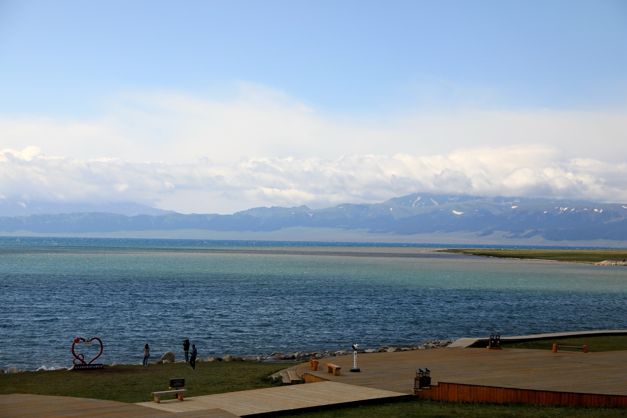
Regional overview
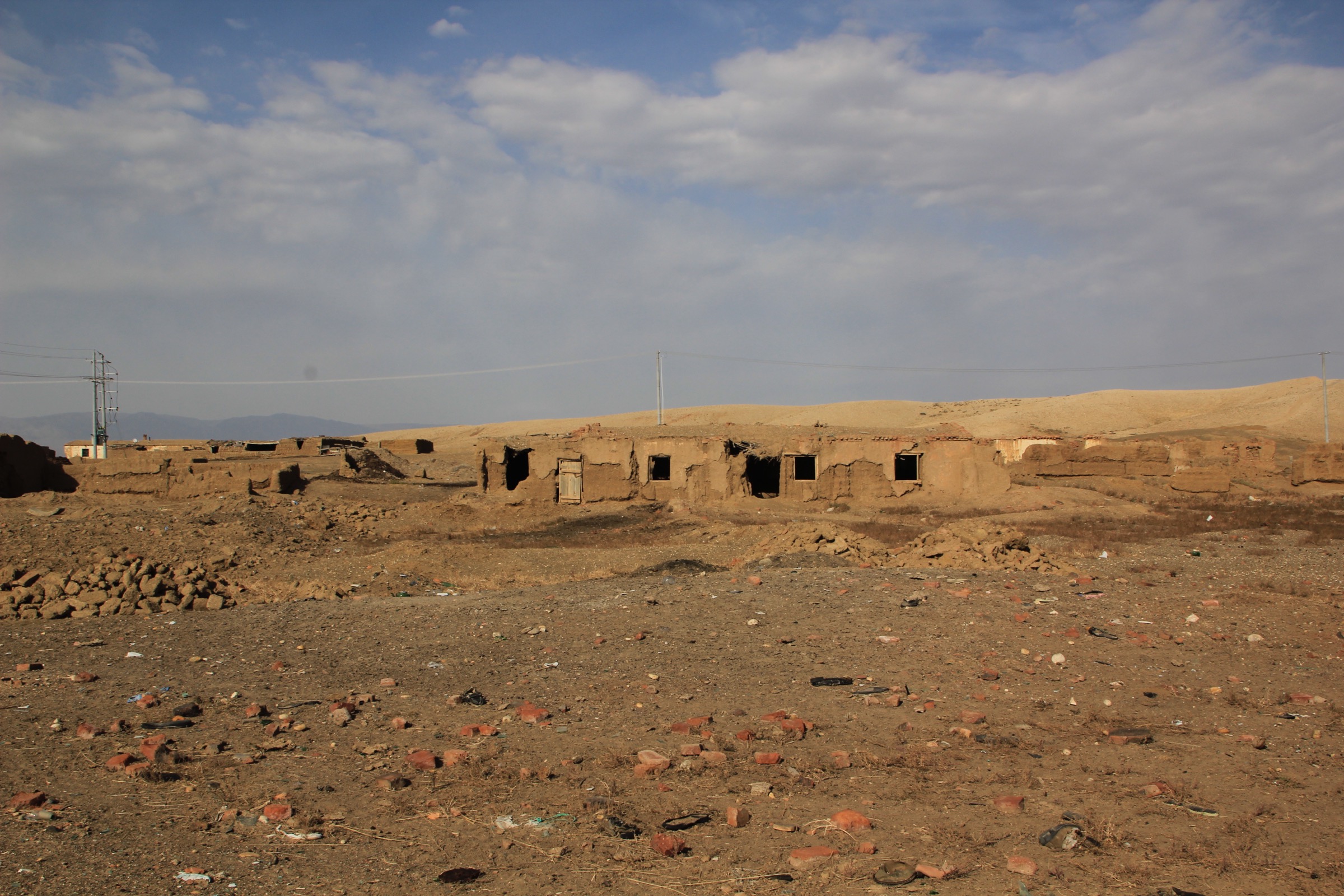
The western Junggar dry ranges occupy the low, hot, semi-arid edge of the Junggar Basin between Karamay City, the lower Tarbagatai foothills to the north-west, and the Tian Shan piedmont to the south. The area sits in a rain-shadow position behind the Tarbagatai and Borohoro ranges, and annual precipitation drops below 200 mm. The dominant landscape is short-grass and bare-stone Gobi, broken by wind-carved yardang fields, oil-seep mounds, and a handful of fault-line canyons cut into the Tian Shan piedmont gravels. Karamay (克拉玛依, from Uyghur qaramay, “black oil”) is the only major city; it grew up after 1955 around the first oil well to gush after the founding of the People’s Republic of China and now anchors the prefectural-level Karamay City municipality, which extends north to Wuerhe District on the edge of the yardang country.
The signature day-hike destination of the area is the World Devil City yardang field (世界魔鬼城) at Wuerhe — about 100 km north-east of Karamay city — promoted to a National 5A-rated scenic area in 2020. The scenic area covers about 260 km², and the standard visitor circuit is a 9.8 km internal loop with a small-train shuttle between named viewpoints. Karamay City itself has two further compact walking sites: the Black Oil Mountain (Heiyoushan, 黑油山) asphalt-seep park, a National 4A-rated mound of bubbling crude oil 2 km north-east of the city centre, and the Karamay Well No. 1 (克拉玛依一号井) historic site, a free monument and small museum on the city’s south-eastern fringe. South of Karamay, in Dushanzi District, the Dushanzi Grand Canyon (独山子大峡谷) is a 20 km canyon cut into the Junggar–Tian Shan transition, 200–280 m deep, with a cliff-edge walkway and a glass bridge. Inland in Toli County, the Mayile Mountains (玛依勒山) and the connected Gaiyer foothills are an unprotected dry range with grazing access tracks but no formal trail infrastructure.
The walking season runs roughly April to October. Spring (April–May) and autumn (mid-September–October) are most comfortable. Midsummer in the Karamay basin is extreme — daytime highs commonly exceed 40 °C between June and August — and walking on the yardang is then restricted to early morning and late afternoon. Winter (November–March) is cold and windy; the yardang field is officially open but day temperatures often stay below freezing. Wind is the dominant year-round hazard: the Wuerhe–Karamay corridor is one of the windiest in Xinjiang, with sustained 8 m/s winds common and gusts that have repeatedly closed the G217 (“Ghost City Highway”) to traffic.
Karamay is not a border-prefecture, and standard tourist access applies to the Wuerhe, Heiyoushan, Karamay Well No. 1, and Dushanzi sites. Toli County is part of Tacheng Prefecture and is closer to the Kazakhstan border; access deep into the Mayile range may attract Public Security Bureau attention and is best done with a local guide. Mobile coverage is good along main roads and at scenic areas; the back-roads in the yardang field and the Mayile foothills are out of coverage.
Selection rationale
The five hikes give the most representative spread of the western Junggar dry-range landscapes — the wind-carved yardang at Wuerhe, the oil-seep geology at Heiyoushan and Well No. 1, the cliff-edge canyon walking at Dushanzi, and the open foothill steppe of the Mayile range. Wuerhe is the clear headline destination and is described in most detail. Heiyoushan and Well No. 1 are short, low-stakes urban walks suitable as half-day add-ons. Dushanzi is the area’s only true cliff-walking route and sits at the southern margin of the western Junggar zone. The Mayile foothill walk is included as a candidate only — the terrain is open but no formal walking route is published in open sources.
Summary table
| # | Hike | Country | Route type | Distance | Gain | Max elevation | Difficulty |
|---|---|---|---|---|---|---|---|
| 1 | World Devil City (Wuerhe yardang) scenic walk | China | Loop with shuttle | 6-10 km on foot | ~50-100 m | ~360 m | Easy |
| 2 | Black Oil Mountain (Heiyoushan) seep walk | China | Loop | 1-2 km | ~30 m | ~420 m | Easy |
| 3 | Karamay Well No. 1 historic walk | China | Loop | 1-2 km | ~10 m | ~410 m | Easy |
| 4 | Dushanzi Grand Canyon cliff walkway | China | Out-and-back | 6-10 km | ~150-250 m | ~900 m | Moderate |
| 5 | Mayile Mountains foothill walk above Toli | China | Out-and-back | 6-10 km | ~300-500 m | ~1,800 m | Moderate |
1. World Devil City (Wuerhe yardang) scenic walk
Snapshot
Itinerary
From the scenic-area main gate at the south entry, ticket holders board the open-sided small-train that loops 9.8 km through the yardang field, stopping at named viewpoints (the Sphinx, the Camel Caravan, the Castle, the Dragon Lying Down). The walking line uses the shuttle stops as access points: get off at any named stop, walk the marked paths around the formation cluster, and pick the next train. The internal loop returns to the south gate. By mixing on-foot segments between four or five stops, a visitor accumulates 6–10 km of walking inside the field over half a day.
Why it is essential
Wuerhe is the most famous yardang field in China and is ranked first in National Geographic China’s “three most beautiful yardang landscapes”. The scenic area is a National 5A site, and the wind-carved stone formations are the signature landscape of the western Junggar dry ranges. Late-afternoon light through the formations is widely cited as the best in the area, and the field has featured as a film location (Crouching Tiger, Hidden Dragon among others).
Equipment
- Standard walking shoes; closed shoes essential against sand abrasion
- Wind-/sun shell
- Hat and sunglasses (wind-driven sand is constant)
- Buff or scarf for mouth and nose
- 2-3 litres of water in summer
- Camera with sand protection
Hazards and notes
- Scenic-area ticket (~61 yuan combined with small-train); opening hours typically 10:00–19:00
- Strong winds and dust at any time of year; sandstorm closures are possible
- No shade inside the field; midsummer temperatures exceed 40 °C
- Stay on marked paths; rock formations are friable and unstable
- Mobile coverage is patchy inside the field
GPX / KML links
No open route file located. South entry approximately 46.04°N, 85.74°E.
External links
2. Black Oil Mountain (Heiyoushan) seep walk
Snapshot
Itinerary
The Black Oil Mountain (Heiyoushan, 黑油山) scenic area is built around a 13 m natural asphalt mound 2 km north-east of Karamay city centre. From the entry gate, internal paths cross the mound between fenced viewing platforms over the active oil pools; the route winds among shallow pools of bubbling crude, past the heritage statue of Uyghur driller Saidanai (the area’s first formal oil discoverer), and back to the entry. The walk is short but distinctive and is best combined with the Karamay Well No. 1 site as a half-day urban geology pair.
Why it is essential
Heiyoushan is the type-site for the Karamay Oilfield and the visible source of the city’s name — qaramay means “black oil” in Uyghur. The Triassic-age oil seeps have been active for an estimated 200 million years, and the surface oil pools are a globally rare natural-history feature.
Equipment
- Standard walking shoes (avoid pale colours; oil stains)
- Sun protection
- 0.5-1 litre of water
Hazards and notes
- Ticket required (~30 yuan)
- Open flames or smoking are strictly prohibited inside the scenic area
- Some areas burn naturally year-round; stay behind fencing
- Crude oil pools are slippery and toxic; do not touch
- Site is small; allow 1-1.5 hours
GPX / KML links
No open route file located. Heiyoushan entry approximately 45.61°N, 84.89°E.
External links
3. Karamay Well No. 1 historic walk
Snapshot
Itinerary
The Karamay Well No. 1 site is built around the original derrick of the well that first gushed industrial oil on 29 October 1955. The walking line starts at the giant “Big Oil Bubble” sculpture (28 m tall) at the entry, follows the paved path past the 3 m monument with its red Chinese-character inscription, circles the 20-pillar memorial colonnade, and returns past the small exhibition hall covering the early-PRC oilfield history. The route is short, paved, and barrier-free.
Why it is essential
The site is the founding landmark of the Karamay Oilfield and the recognised birthplace of the modern Chinese petroleum industry — paired with Heiyoushan, it explains why the city exists at all. Admission is free and the site rounds out the half-day “Karamay geology” pair with the Black Oil Mountain visit.
Equipment
- Light walking shoes
- Sun protection
- 0.5 litre of water
Hazards and notes
- Free admission; no reservation needed
- Open daytime hours; small exhibition hall closed on Mondays
- Site is exposed; no shade between sculptures
- Combine with Heiyoushan for half-day pair
GPX / KML links
No open route file located. Site approximately 45.58°N, 84.91°E.
External links
4. Dushanzi Grand Canyon cliff walkway
Snapshot
Itinerary
From the scenic-area main gate on the canyon’s eastern rim, the cliff walkway runs north along the edge of the gorge with continuous views down 200–280 m to the bed of the Kuitun River. The route passes the Duku Glass Bridge (a paid optional add-on) and continues to the upper viewpoints over the Tianshan Snow Waterfall and the Dushanzi Mud Volcano Group on the canyon floor. Most visitors turn back at the cableway terminal and retrace the rim walk to the entry. The whole rim is fenced and barrier-free for the first 2 km; the longer rim line is unpaved and exposed.
Why it is essential
Dushanzi is a 20 km canyon system cut into the gravels at the transition between the western Junggar Basin and the northern Tian Shan piedmont, with depths of 200–280 m. It is the area’s only proper cliff-walking destination and was described by China National Geographic magazine as “a billion-year wonder of the unique realm”. The site is a National 4A scenic area with a cableway, glass bridge and viewing decks.
Equipment
- Hiking shoes
- Wind-/waterproof shell
- Sun protection
- 2 litres of water
- Optional: trekking pole for the unpaved rim segments
Hazards and notes
- Scenic-area ticket required; glass bridge and cableway cost extra
- Strong winds on the rim; do not lean on outer fencing
- Mud-volcano area can be slippery; stay on signed paths
- Midsummer heat is intense on the unshaded rim
- Some sections of the cliff walkway can be closed for maintenance
GPX / KML links
No open route file located. Scenic-area entry approximately 44.45°N, 84.85°E.
External links
5. Mayile Mountains foothill walk above Toli
Snapshot
Itinerary
The Mayile Mountains (玛依勒山) and the connected Gaiyer foothills run east–west between Toli town and the Junggar Basin, forming the southern fold-zone of the western Junggar tectonic block. The walking line follows a pasture access road north from the Toli–Tacheng highway, climbs grass shelves to a shoulder with views back over the Junggar Basin floor toward Karamay, and returns by the outbound track. The route is informal and depends on local landowner access.
Why it is essential
The Mayile range is the least visited and least documented of the western Junggar ranges, and gives the only true upland walking option in this article that is not inside a developed scenic area. The lower shelves are open short-grass steppe with wide views to the southern Tarbagatai, the Junggar Basin, and the Wuerhe yardang country on a clear day.
Equipment
- Hiking shoes
- Wind-/waterproof shell
- Insulation layer
- Sun protection
- 2 litres of water
- Phone with downloaded offline maps
- Passport — Toli County is in the Tacheng border-prefecture buffer
Hazards and notes
- No marked path or signed route; navigation by pasture road and visible ground
- Sheepdogs at herder camps can be aggressive
- Public Security Bureau or border police may stop and question walkers far from main roads
- No water source; carry all water
- Mobile coverage is intermittent above the road
GPX / KML links
No open route file located. Toli town approximately 45.93°N, 83.61°E; Mayile foothills lie north.