Regional overview
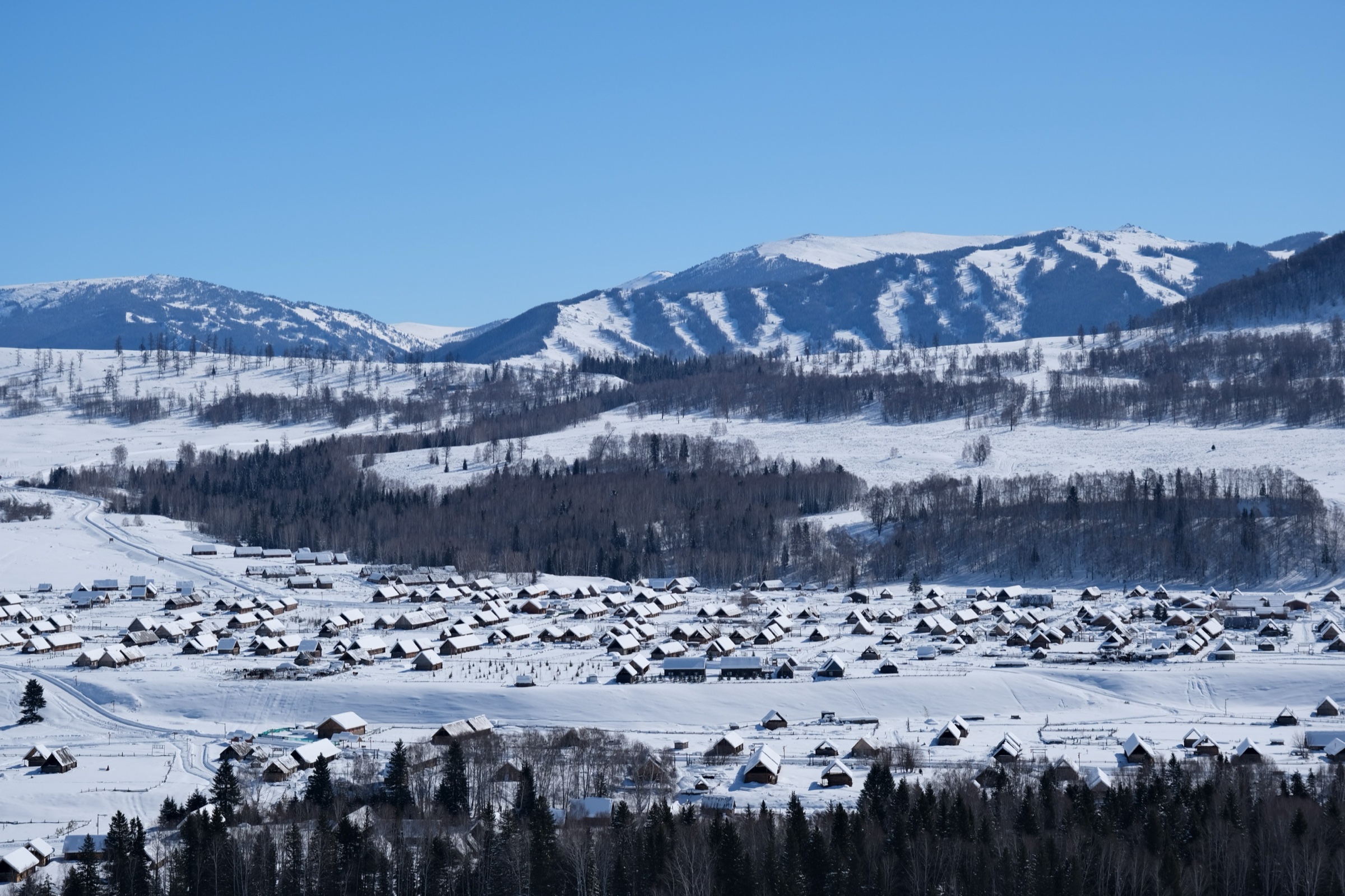
Hemu and Baihaba are the best-known Tuva and Kazakh settlement landscapes of the Chinese Altai, lying within the wider Kanas scenic-region system in northern Xinjiang. The walking character is gentler and more pastoral than the Kanas lakefront: village lanes, wooden bridges, birch forest, river meadows, sunrise viewpoints, horse tracks, ridge pastures, and borderland cultural scenery.
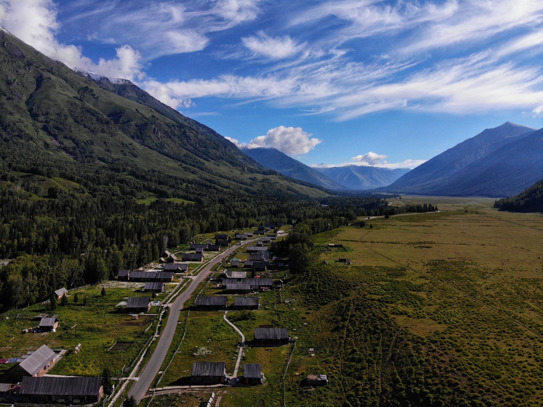
Hemu is the stronger hiking centre, with the Hemu River, Hemu Bridge, viewing platform, birch forest, and Beautiful Peak / Meili Feng area forming the main day-walking cluster. Baihaba is quieter and more restricted: it sits close to the China–Kazakhstan border, and travel sources state that a frontier / border permit is required.
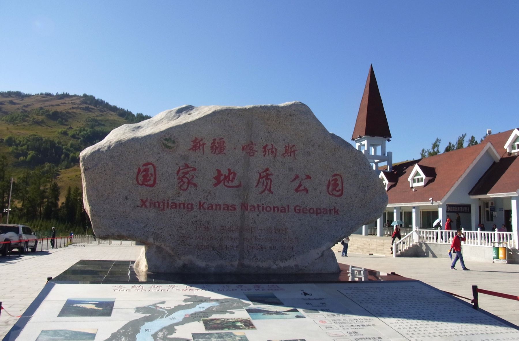
Access is normally controlled through the Kanas–Hemu scenic-area shuttle system and ticketed entrances. Summer and early autumn are the main walking seasons. TravelChinaGuide recommends June to August for green grasslands and flowers, and September for golden autumn colour in Hemu; China Discovery states that April to October is suitable for Kanas-region hiking. Snow, road restrictions, and limited services can affect winter and shoulder-season walking. Hemu and Baihaba sit immediately east of the Kanas Lake scenic area and west of the Keketuohai geopark on the upper Irtysh.
Selection rationale
The five selected hikes cover Hemu’s essential village-and-viewpoint walk, the recognised Beautiful Peak hike, a lower Hemu River and birch-forest route, a short Baihaba borderland cultural walk, and a candidate Baihaba–Kanas forest traverse section. The Hemu routes have the strongest published support. The Baihaba routes remain candidate-level because route geometry, border restrictions, and GPX-grade statistics were not adequately verified online.
Summary table
| # | Hike | Country | Route type | Distance | Elevation gain | Max elevation | Difficulty |
|---|---|---|---|---|---|---|---|
| 1 | Hemu Bridge, Viewing Platform and Birch Forest Loop | China | Short loop / out-and-back | About 2–5 km depending on variant | About 80–200 m | Easy–moderate | |
| 2 | Hemu Village to Beautiful Peak / Meili Feng | China | Out-and-back | 8–20 km depending on source/variant | Moderate–hard | ||
| 3 | Hemu River Upstream Birch-Forest and Meadow Walk | China | Out-and-back | Unresolved | Minor to moderate | Easy–moderate | |
| 4 | Baihaba Village Borderland Lookout and Farmland Circuit | China | Short loop / out-and-back | Unresolved | Minor | Easy | |
| 5 | Baihaba to Kanas Forest Traverse Section | China | Point-to-point / guided traverse candidate | Conflicting reports; not publication-ready | Candidate only |
Before you go
Permits and access
All five hikes lie inside the managed Kanas–Hemu Scenic Area system in Burqin County. Hemu and Baihaba are usually reached through ticketed entrances and shuttle buses from Jiadengyu / Hemu transfer points, with seasonal opening rules and changing pedestrian access patterns. Baihaba sits close to the China–Kazakhstan border and requires a frontier / border permit according to travel sources; check current rules and photography restrictions before departure. Current ticketing, shuttle rules, opening times, and pedestrian access patterns must be checked locally before relying on any walking line.
Standard Altai day-hiking kit
For all five routes, carry:
- Mountain walking equipment: hiking shoes or light boots, waterproof/windproof jacket, warm layer, food, water, sun protection, headlamp, first-aid kit, and navigation backup.
- Gloves and a warm hat for autumn and early winter days.
- Traction or microspikes for icy bridges, steps, and boardwalks outside summer.
- Insect protection in the warmer months.
- Identity documents and any required Baihaba frontier permit.
Common hazards
Across all five routes, weather can change quickly, and snow or ice can affect steps, bridges, and boardwalks outside summer. Scenic-area transport, tickets, opening times, and pedestrian access may change seasonally — do not assume informal hillside or pasture shortcuts are legal. River banks may be unstable after rain or snowmelt. For Baihaba routes, border-zone rules, permit checks, and photography restrictions are the major issues; do not approach border-control infrastructure or follow unmarked tracks.
1. Hemu Bridge, Viewing Platform and Birch Forest Loop
Snapshot
Itinerary
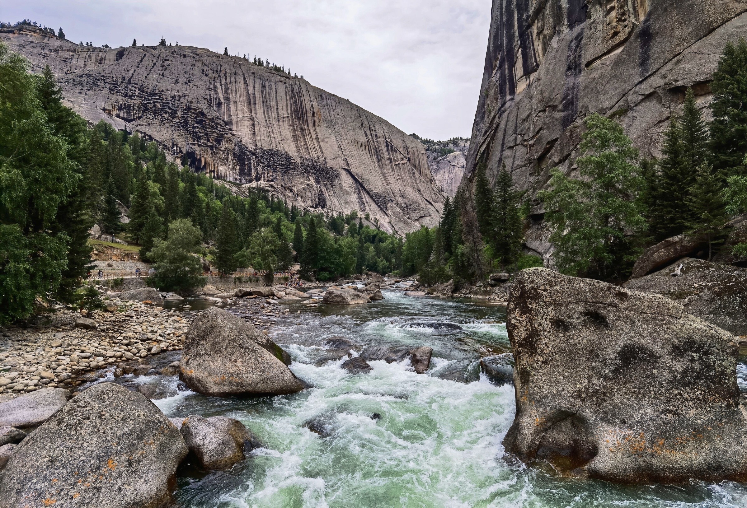
From Hemu Village, walk to the visitor bridge over the Hemu River. TravelChinaGuide notes that this bridge is the visitor route to the Hemu viewing platform, while the second bridge is mainly used by local herders and livestock. After crossing the river, the path climbs the hillside to the viewing platform for the classic overview of Hemu’s wooden houses, river, birch forest, and surrounding ridges. A longer variant returns through village lanes and nearby birch-forest paths before re-crossing the bridge.
Exact GPS statistics vary because most sources describe the viewpoint visit rather than a fixed hiking circuit.
Why it is essential
This is the signature Hemu walk: short, culturally important, and visually representative of the village, river, and birch-forest landscape that defines the Hemu–Baihaba region.
Hazards and notes
- Steps and paths may be icy in winter or muddy after rain.
- Sunrise visits are popular and can be crowded.
- Respect village privacy and use signed public routes.
GPX / KML links
| Source | URL | Format | Notes |
|---|---|---|---|
| OpenStreetMap search: Hemu Village viewing platform | openstreetmap.org | Map/search | OSM data is ODbL; geometry cross-check only |
| TravelChinaGuide: Hemu Village | travelchinaguide.com | Source page / attraction guide | Confirms Hemu Bridge, viewing platform, and birch forest |
| Xinjiang Travel: Hemu Village | xinjiangtravel.org | Source page / attraction guide | Confirms Hemu River and viewing platform |
Further reading
2. Hemu Village to Beautiful Peak / Meili Feng
Snapshot
Itinerary
The route leaves Hemu Village for the Beautiful Peak / Meili Feng area, crossing pastoral and forested terrain above the village. China Discovery describes Beautiful Peak as an off-the-beaten-path hike near Hemu, with snow mountains, birch forest, river, meadows, and herds. Its itinerary gives a 20 km hiking day at 5–6 hours of walking, with a note that there are no shops or restaurants along the route and that a packed lunch is needed.
Other route snippets describe shorter Beautiful Peak variants of about 8–12 km. Until a current local map or track is obtained, this entry should be treated as a route family rather than a single fixed GPS line.
Why it is essential
Beautiful Peak is the recognised higher walking objective from Hemu. It adds a real half-day to full-day mountain hike to a region otherwise dominated by short village viewpoints and photo walks.
Hazards and notes
- Navigation and route choice are unresolved.
- Weather can change quickly, and there may be no services once away from Hemu Village.
- Confirm current access, grazing-area restrictions, horse-route conflicts, and return logistics locally.
GPX / KML links
| Source | URL | Format | Notes |
|---|---|---|---|
| OpenStreetMap search: Beautiful Peak Hemu | openstreetmap.org | Map/search | OSM data is ODbL; geometry cross-check only |
| China Discovery: Kanas–Hemu hiking tour | chinadiscovery.com | Source page / itinerary | Confirms Beautiful Peak, route character, 20 km, and 5–6 hour hiking day |
Further reading
3. Hemu River Upstream Birch-Forest and Meadow Walk
Snapshot
Itinerary
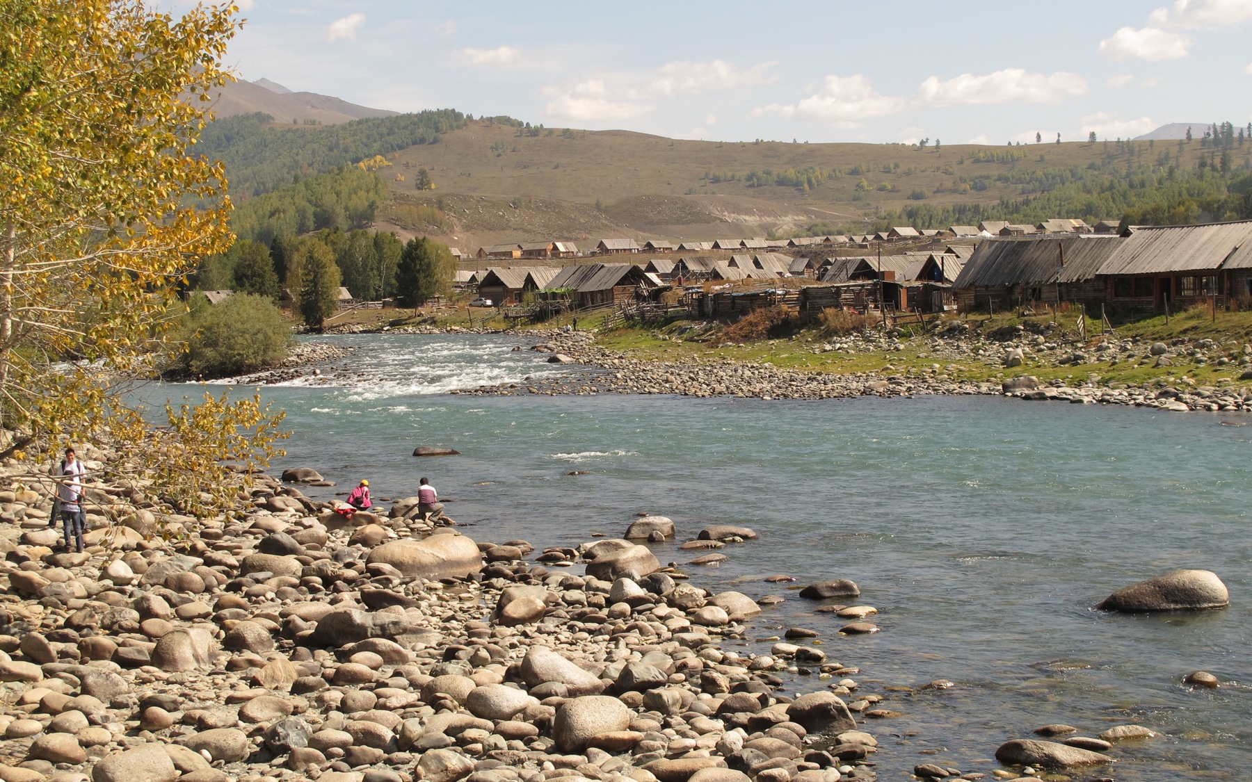
From Hemu Village, the walk follows public riverside and forest-edge paths upstream or along the Hemu River corridor, using the visitor bridge as the main orientation point. TravelChinaGuide describes the Hemu River as snowmelt-fed, with birch forests on both sides and wild flowers in the ground layer. Xinjiang Travel identifies the Hemu River and viewing platform as a must-visit part of the village.
No fixed official hiking line, distance, or GPX was found. This should be field-mapped as a low-level valley walk, using only signed public paths and avoiding private village or grazing areas.
Why it is essential
The Hemu River and birch forest are core to the region’s landscape identity. This walk offers the lower, quieter counterpart to the village viewpoint and Beautiful Peak.
Hazards and notes
- Route legality and exact right-of-way should be checked locally.
- Avoid livestock tracks where access is unclear.
- River banks may be unstable after rain or snowmelt, and boardwalks may be icy in cold weather.
GPX / KML links
| Source | URL | Format | Notes |
|---|---|---|---|
| OpenStreetMap search: Hemu River | openstreetmap.org | Map/search | OSM data is ODbL; geometry cross-check only |
| TravelChinaGuide: Hemu Village | travelchinaguide.com | Source page / attraction guide | Confirms Hemu River and birch forest |
| Xinjiang Travel: Hemu Village | xinjiangtravel.org | Source page / attraction guide | Confirms Hemu River and viewing platform |
Further reading
4. Baihaba Village Borderland Lookout and Farmland Circuit
Snapshot
Itinerary
This candidate walk uses public village lanes, farmland edges, and signed viewpoints around Baihaba to experience the borderland settlement landscape. China Xian Tour describes Baihaba as near the China–Kazakhstan border and notes quiet farmland scenery and unique borderland culture, but no official walking-route statistic was found.
The route must be planned on the ground from current signs, local advice, and permit conditions. Do not approach border-control areas, military infrastructure, or unmarked tracks.
Why it is essential
Baihaba is one of the three Tuva settlement areas associated with Kanas, Hemu, and Baihaba. A catalogue for this region should include at least one Baihaba walk, although the available public data is not yet strong enough for publication-level route instructions.
Hazards and notes
- Border restrictions are the main issue.
- Confirm permit requirements, allowed walking areas, and photography restrictions before departure.
- Avoid informal paths near the border zone.
GPX / KML links
| Source | URL | Format | Notes |
|---|---|---|---|
| OpenStreetMap search: Baihaba Village | openstreetmap.org | Map/search | OSM data is ODbL; geometry cross-check only |
| China Xian Tour: Kanas Lake guide | chinaxiantour.com | Source page / guide | Confirms Baihaba context and permit warning |
| TravelChinaGuide: Kanas Nature Reserve | travelchinaguide.com | Source page / access guide | Lists Baihaba ticket and shuttle information as of its 2025 update |
Further reading
- China Xian Tour Kanas Lake guide with Baihaba permit warning
- TravelChinaGuide Kanas Nature Reserve access page
5. Baihaba to Kanas Forest Traverse Section
Snapshot
Itinerary
The Baihaba–Kanas walking corridor is a logical classic because it links two of the three Tuva settlement areas in the Kanas region through forest, meadow, and borderland scenery. However, the route evidence is inconsistent. One Chinese route-post snippet describes Baihaba to Kanas as about 10 km over 7 hours through birch forest, taiga, original forest, and grassland, while other regional trekking material points to longer multi-day routes when Hemu is included.
No production-ready GPS line, official map, confirmed legal trailhead, or current permit guidance was found. This should remain a candidate only until a local operator, official scenic-area map, or reusable GPS source verifies the permitted one-day route.
Why it is essential
If legally walkable as a day route, this traverse would be the region’s classic village-to-village walk, combining Baihaba’s borderland setting with Kanas forest and village scenery. Its importance is clear; its current route data is not.
Hazards and notes
- Border-zone restrictions, route ambiguity, and return logistics are significant.
- Do not attempt based on secondary snippets alone.
- Check whether the route is legally open to visitors, whether a guide is mandatory, and whether the start/finish can be reached by current shuttle services.
GPX / KML links
| Source | URL | Format | Notes |
|---|---|---|---|
| OpenStreetMap search: Baihaba to Kanas | openstreetmap.org | Map/search | OSM data is ODbL; geometry cross-check only |
| 8264 route/forum source candidate | m.8264.com | Forum / route report candidate | Candidate source only; not publication-ready |
| 2bulu regional trek source candidate | 2bulu.com | Route/community page candidate | Candidate source only; access and accuracy unresolved |
Further reading
- China Xian Tour Kanas Lake guide
- 8264 candidate route/forum source
- 2bulu candidate regional trek source
Further reading
| Source | URL |
|---|---|
| Wikipedia — Hemu | en.wikipedia.org |
| Wikipedia — Burqin County | en.wikipedia.org |
| TravelChinaGuide Hemu Village | travelchinaguide.com |
| Xinjiang Travel Hemu Village | xinjiangtravel.org |
| China Discovery Kanas–Hemu hiking tour | chinadiscovery.com |
| China Xian Tour Kanas Lake guide | chinaxiantour.com |
| TravelChinaGuide Kanas Nature Reserve | travelchinaguide.com |
| 8264 candidate route source | m.8264.com |
| 2bulu candidate regional trek source | 2bulu.com |
Missing data / follow-up work
- No official GPX/KML files were found for any Hemu–Baihaba route in this pass.
- Hemu Beautiful Peak needs a current local track to resolve the 8–20 km source spread.
- Hemu River upstream walk needs field mapping and public-access confirmation.
- Baihaba walking routes require current border-permit, photography, and visitor-access confirmation.
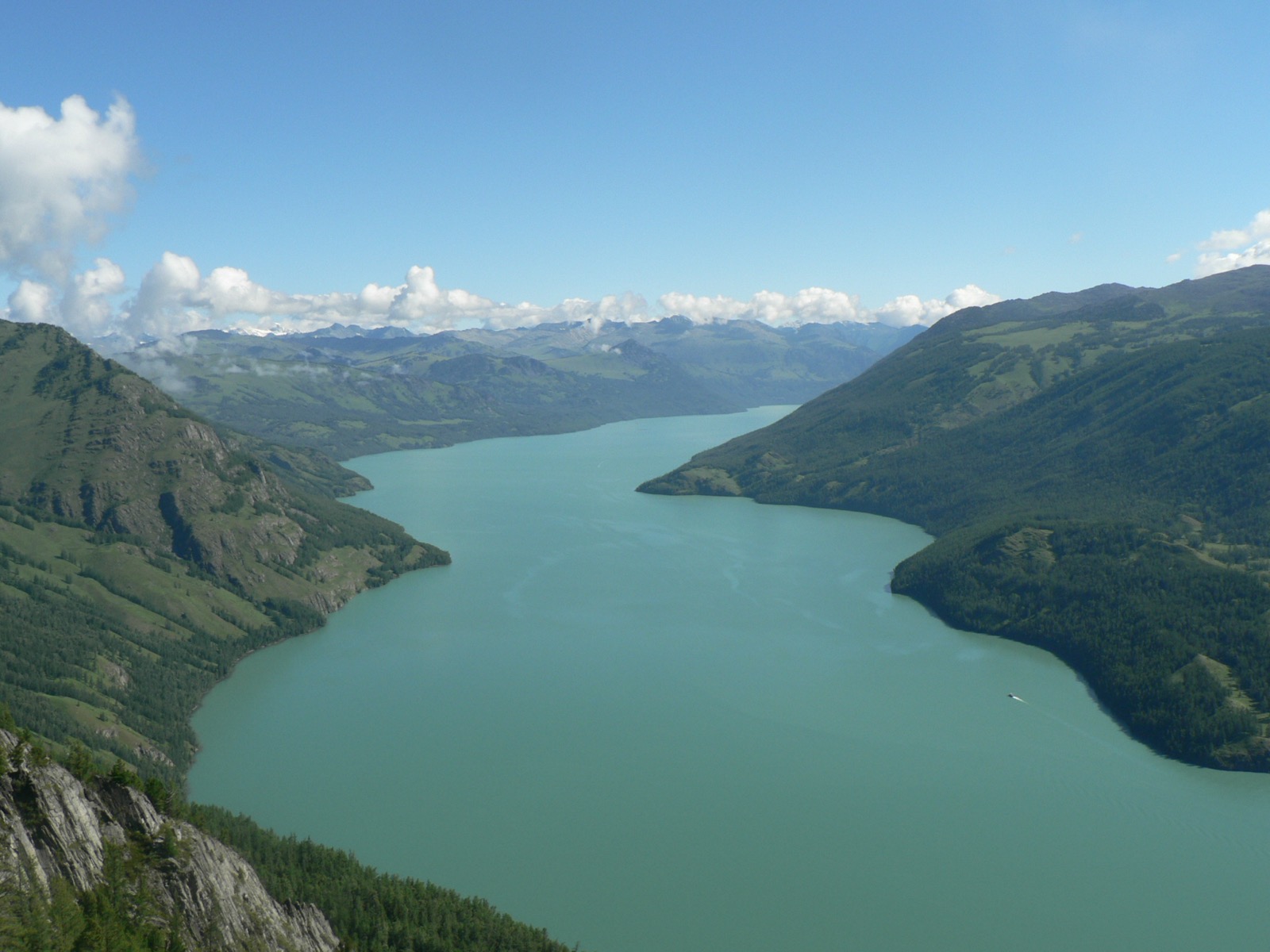
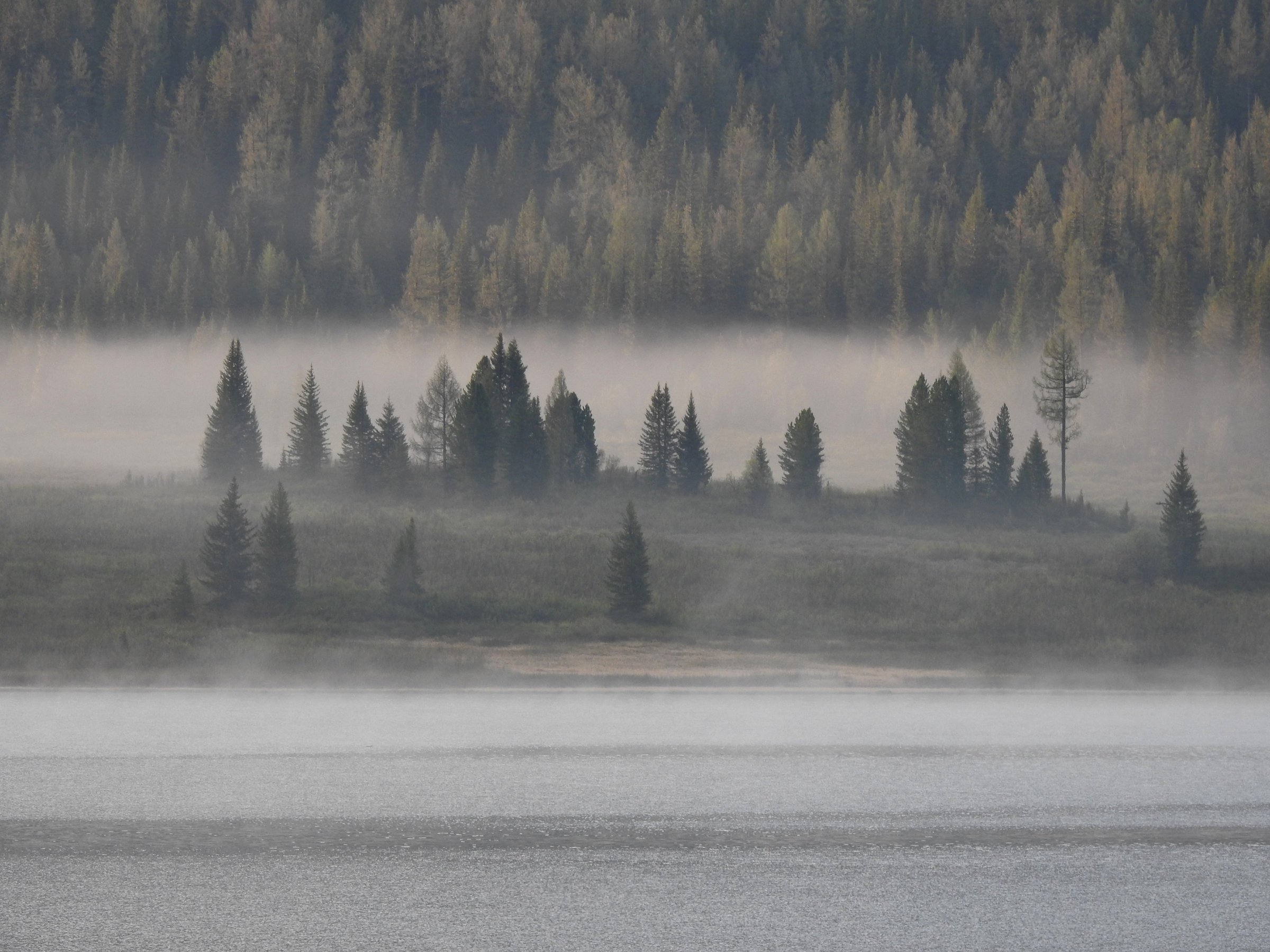
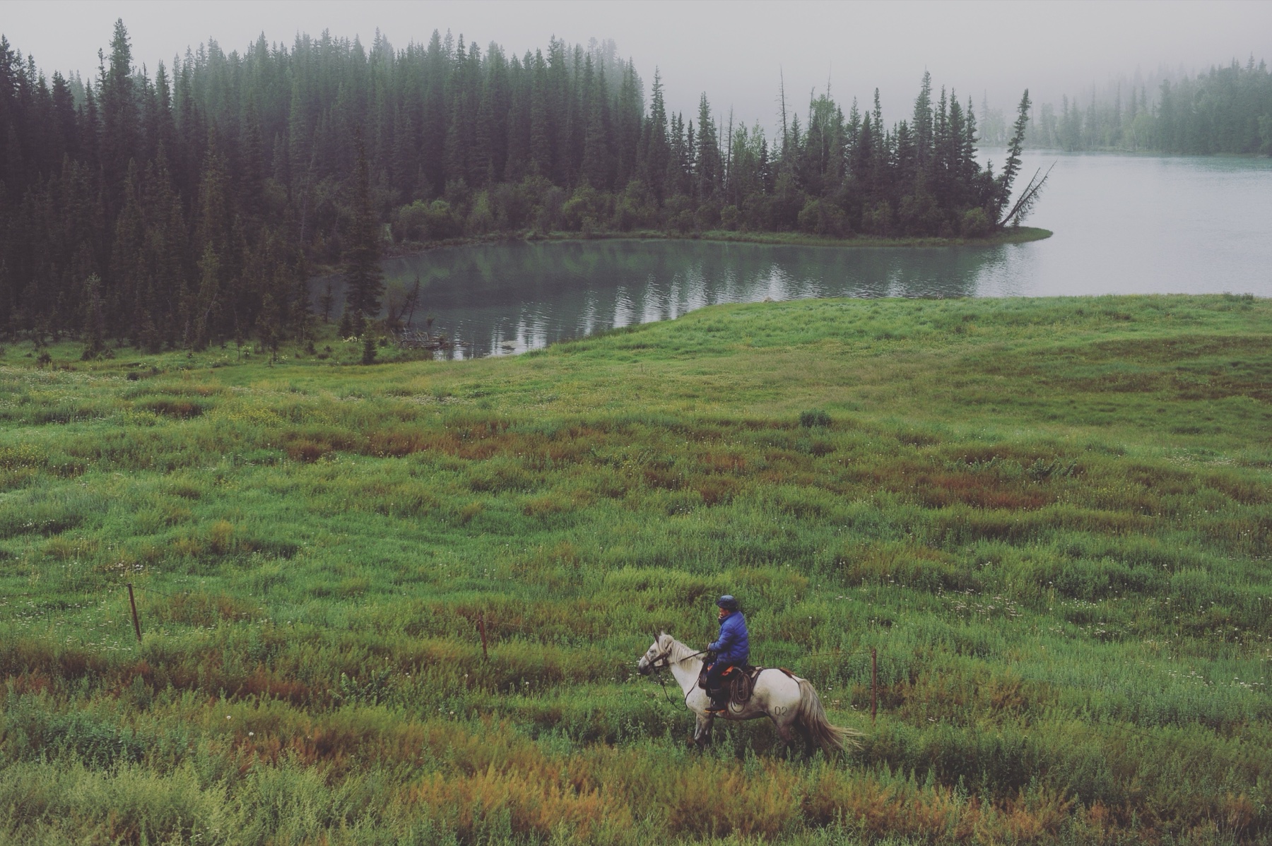
- Baihaba and Baihaba–Kanas illustrations currently use regional surrogate landscapes (Kanas Lake meadow and Kanas River valley); a route-specific Baihaba village photo is still wanted.
- Baihaba–Kanas should remain candidate-only until the legal one-day route and exact distance are verified.