.jpg)
Regional overview
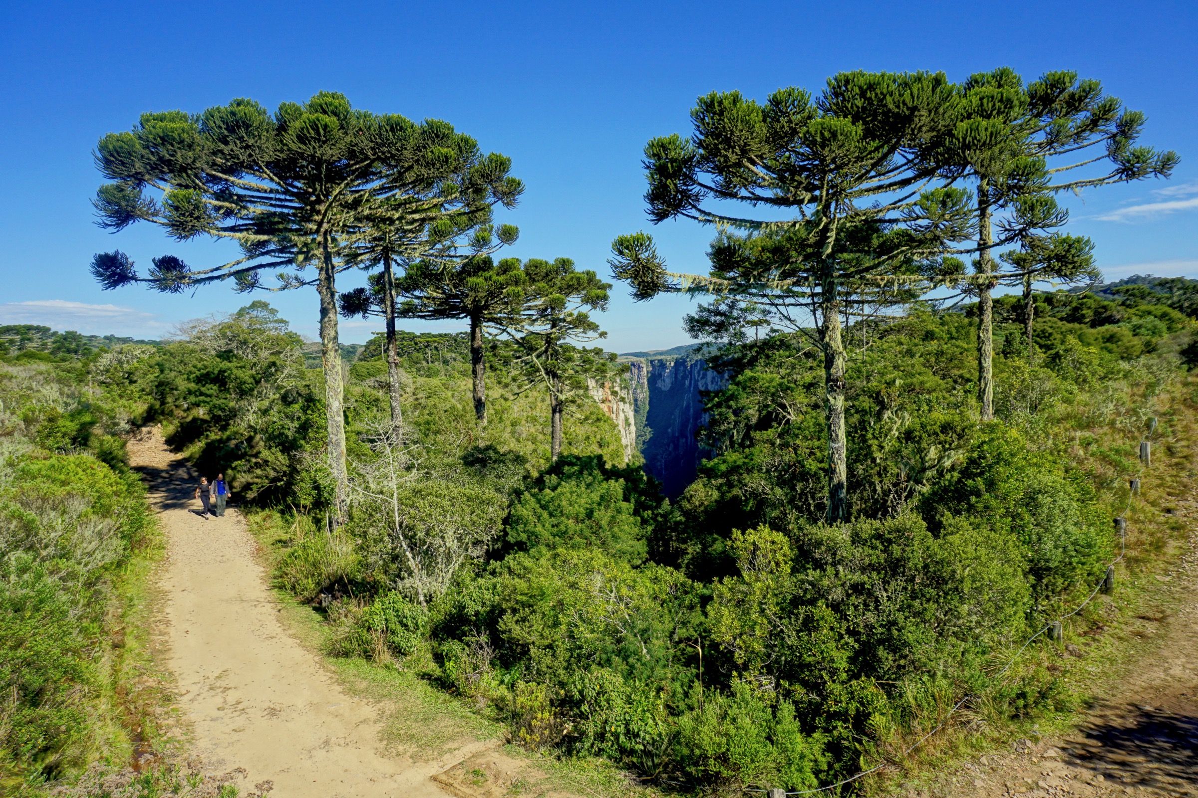
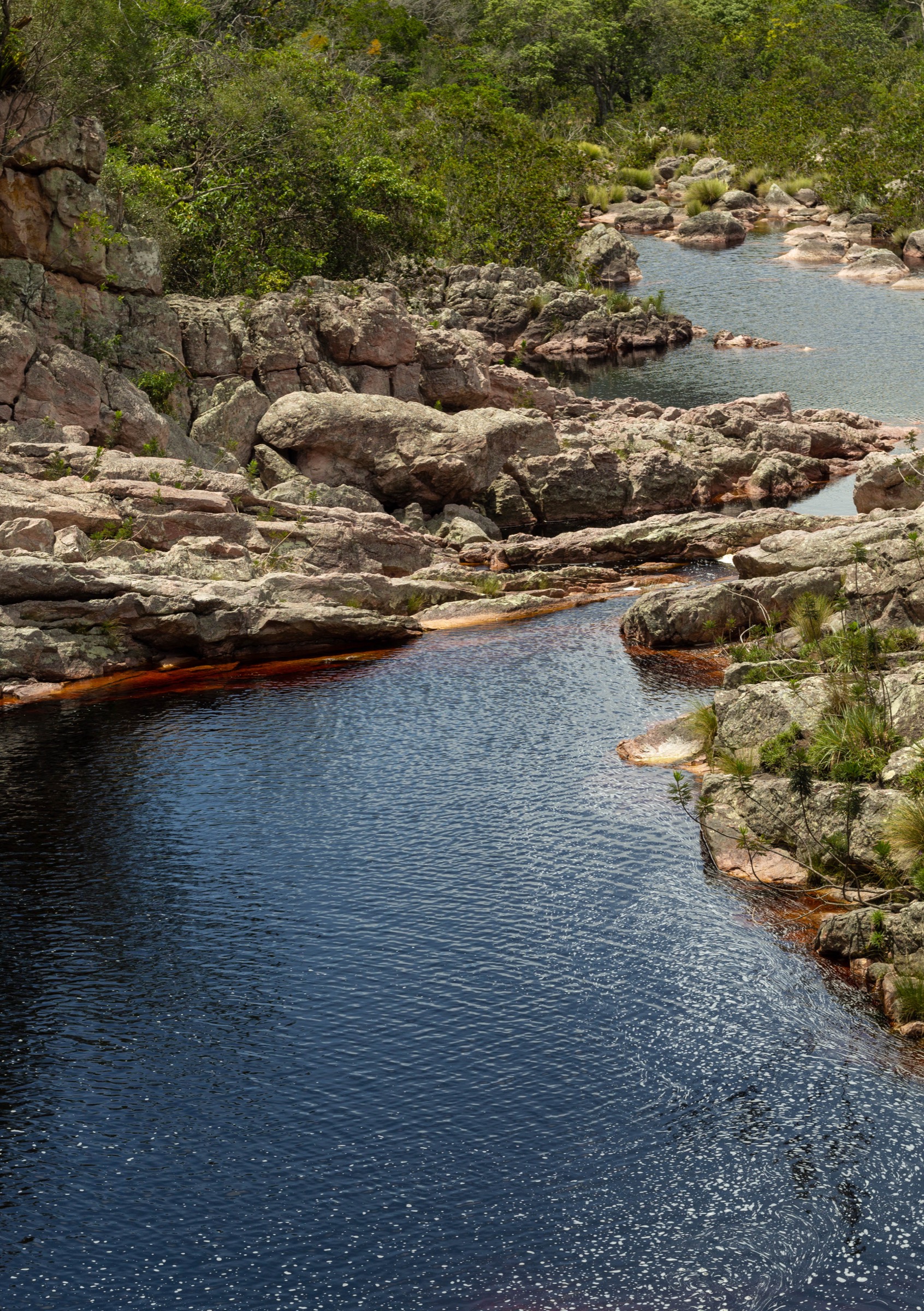
Chapada Diamantina is a high plateau, canyon, waterfall, mesa, and historic-route hiking region in Bahia. The core hiking centres include Lençóis, Vale do Capão, Palmeiras, Ibicoara, Mucugê, Andaraí, and Guiné.
ICMBio states that Parque Nacional da Chapada Diamantina is open year-round, has no entrance fee and no general entry control, and that hiring a guide is not mandatory but is recommended. Mobile coverage is limited in much of the park, and visitors should be prepared for remote conditions.
The best timing depends on the route. Waterfall routes can be more impressive after rain, but heavy rain increases flash-flood risk in canyons and riverbeds. Long exposed plateau crossings should be started early and avoided in storms or extreme heat.
Selection rationale
The selection combines the best-known waterfall viewpoint, the short iconic mesa summit, two major Ibicoara waterfall/canyon hikes, and one official historic point-to-point crossing between Lençóis and Vale do Capão.
Summary table
| # | Hike | Country | Route type | Distance | Gain | Max elevation | Difficulty |
|---|---|---|---|---|---|---|---|
| 1 | Cachoeira da Fumaça por cima | Brazil | Out-and-back | 12.0 km official; 11.7 km AllTrails | 552 m | Unresolved | Moderate |
| 2 | Morro do Pai Inácio | Brazil | Out-and-back | 1.3 km | 108 m | Approx. 1,120 m; route max unresolved | Moderate |
| 3 | Cachoeira do Buracão | Brazil | Out-and-back | 5.0 km | 72 m | Unresolved | Easy-moderate |
| 4 | Cachoeira da Fumacinha por baixo | Brazil | Out-and-back | 13.4 km | 749 m | Unresolved | Hard |
| 5 | Travessia Lençóis - Vale do Capão | Brazil | Point-to-point | 18.6 km official | Unresolved | Unresolved | Hard |
1. Cachoeira da Fumaça por cima

Snapshot
Itinerary
The route starts from Vale do Capão and climbs to the top-side viewpoint of Cachoeira da Fumaça. ICMBio identifies 12 km round trip, with 4 km inside the national park, leading to the viewpoint over the roughly 340 m waterfall and the Vale do Capão landscape.
Why it is essential
Cachoeira da Fumaça por cima is one of Chapada Diamantina’s signature day hikes and one of the region’s most recognisable waterfall viewpoints.
Equipment
- Sturdy shoes, rain layer, water, food, sun protection, and map/GPS.
Hazards and notes
- ICMBio notes that the waterfall may have little or no flow in the dry season.
- Cliff edges, strong wind, heat, and storms are major hazards.
- Guide hiring is recommended by ICMBio for the park generally, though not mandatory.
GPX / KML links
| Source | URL | Format / access | Reuse status |
|---|---|---|---|
| ICMBio Chapada Diamantina visitation information | gov.br/icmbio | Official route description | Government website; route-geometry reuse terms not stated; official description/stat source, not GPX |
| AllTrails: Cachoeira da Fumaça por cima | alltrails.com | Source route page | AllTrails terms; GPX export/reuse not verified |
External links
- ICMBio — Chapada Diamantina visitation information
- AllTrails — Cachoeira da Fumaça por cima
- Wikimedia Commons — Cachoeira da Fumaça
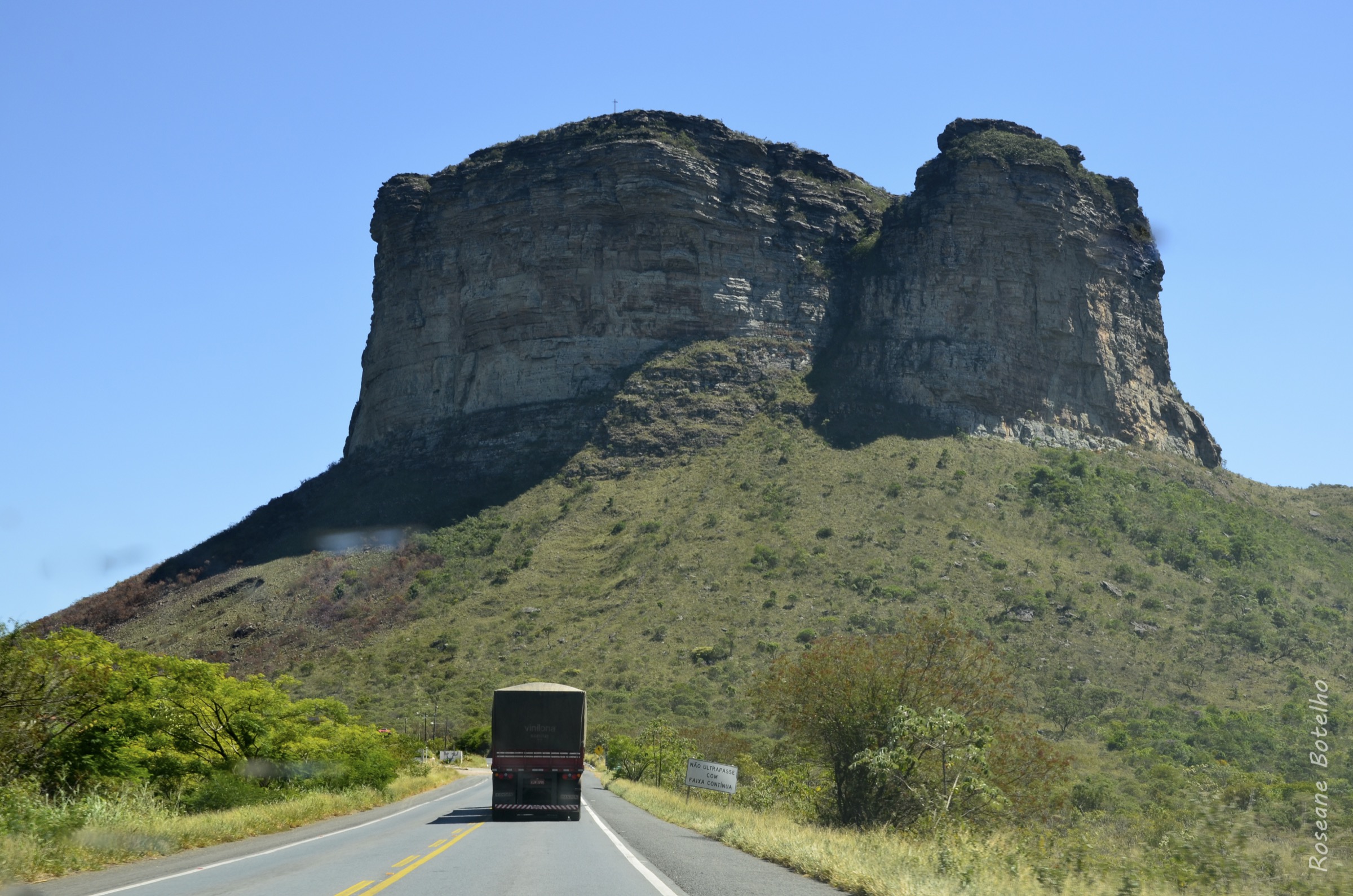
2. Morro do Pai Inácio

Snapshot
Itinerary
The short route climbs from the visitor access beside the highway to the flat-topped summit area of Morro do Pai Inácio. It returns by the same route.
Why it is essential
Morro do Pai Inácio is the most iconic short viewpoint hike in Chapada Diamantina, with panoramic views across mesas, valleys, and the central plateau.
Equipment
- Standard hiking equipment is sufficient in normal conditions: sturdy shoes, water, sun protection, and rain layer.
Hazards and notes
- Cliff edges, heat, wind, and lightning are the main hazards.
- Current access hours and fees were not verified in this pass.
GPX / KML links
| Source | URL | Format / access | Reuse status |
|---|---|---|---|
| AllTrails: Morro do Pai Inácio | alltrails.com | Source route page | AllTrails terms; GPX export/reuse not verified; no reusable GPX confirmed |
External links
3. Cachoeira do Buracão

Snapshot
Itinerary
The route follows the access trail toward Cachoeira do Buracão, entering the canyon environment and waterfall pool area. The hike returns by the same route after visiting the waterfall.
Why it is essential
Cachoeira do Buracão is one of the major waterfall destinations of southern Chapada Diamantina and represents the Ibicoara canyon-and-waterfall side of the region.
Equipment
- Standard hiking equipment, plus water-appropriate caution for slick rock and swimming sections.
- Local guide, life-jacket, and access rules need confirmation before travel.
Hazards and notes
- Canyon water levels and swimming sections can make the outing more serious than the distance suggests.
- Official access/guide requirements were not verified in this pass.
GPX / KML links
| Source | URL | Format / access | Reuse status |
|---|---|---|---|
| AllTrails: Cachoeira Buracão | alltrails.com | Source route page | AllTrails terms; GPX export/reuse not verified; no reusable GPX confirmed |
External links
4. Cachoeira da Fumacinha por baixo

Snapshot
Itinerary
The lower Fumacinha route follows a demanding approach into the canyon system leading to Cachoeira da Fumacinha. It is an out-and-back canyon hike with boulders, watercourse terrain, and a waterfall destination.
Why it is essential
Cachoeira da Fumacinha is one of Chapada Diamantina’s major strenuous waterfall hikes and gives a more committing canyon experience than the short Buracão route.
Equipment
- Boots with good grip, rain layer, headtorch, navigation backup, food, water, and first-aid kit.
- A local guide is strongly recommended because of canyon navigation and access complexity.
Hazards and notes
- Boulder hopping, slick rock, flash-flood risk, route-finding, and remoteness are serious.
- Exact legal trailhead and current guide/access rules need confirmation.
GPX / KML links
| Source | URL | Format / access | Reuse status |
|---|---|---|---|
| AllTrails: Cachoeira da Fumacinha por baixo | alltrails.com | Source route page | AllTrails terms; GPX export/reuse not verified; no reusable GPX confirmed |
External links
5. Travessia Lençóis - Vale do Capão
Snapshot
Itinerary
ICMBio describes this as a historic trail linking Lençóis and Vale do Capão. The route is 18.6 km, with 9.5 km inside the national park, and is characterised by mountain scenery, riverbed walking, and natural pools at Cachoeira do Palmital. It can be walked in either direction and is also identified by ICMBio as suitable for mountain-bike use.
Why it is essential
The Lençóis-Capão crossing is a culturally important route between two of Chapada Diamantina’s principal hiking centres. It adds a historic point-to-point trail to a selection otherwise dominated by waterfalls and viewpoints.
Equipment
- Boots, headtorch, rain layer, sun protection, navigation backup, food.
- Enough water or water-treatment method.
Hazards and notes
- Mobile coverage is limited in much of the park.
- ICMBio advises avoiding night walking and warns that rain can cause flash floods.
- Route geometry, gain/loss, and official GPX were not found in this pass.
GPX / KML links
| Source | URL | Format / access | Reuse status |
|---|---|---|---|
| ICMBio Chapada Diamantina visitation information | gov.br/icmbio | Official route description | Government website; route-geometry reuse terms not stated; official description/stat source, not GPX |
External links
- ICMBio — Chapada Diamantina visitation information
- Wikimedia Commons — Parque Nacional da Chapada Diamantina (Stéphanie Santos)
Missing data / follow-up work
- Official GPX/KML route files were not found for the selected Chapada Diamantina hikes.
- Buracão and Fumacinha official municipal access rules, guide requirements, fees, and trailhead coordinates need confirmation.
- Morro do Pai Inácio current hours/fees and route maximum elevation need confirmation.
- Lençóis-Capão gain/loss, route geometry, and transport logistics remain unresolved.
External links
| Source | URL |
|---|---|
| ICMBio — Chapada Diamantina visitation information | gov.br/icmbio |
| AllTrails — Cachoeira da Fumaça por cima | alltrails.com |
| AllTrails — Morro do Pai Inácio | alltrails.com |
| AllTrails — Cachoeira Buracão | alltrails.com |
| AllTrails — Cachoeira da Fumacinha por baixo | alltrails.com |