Regional overview
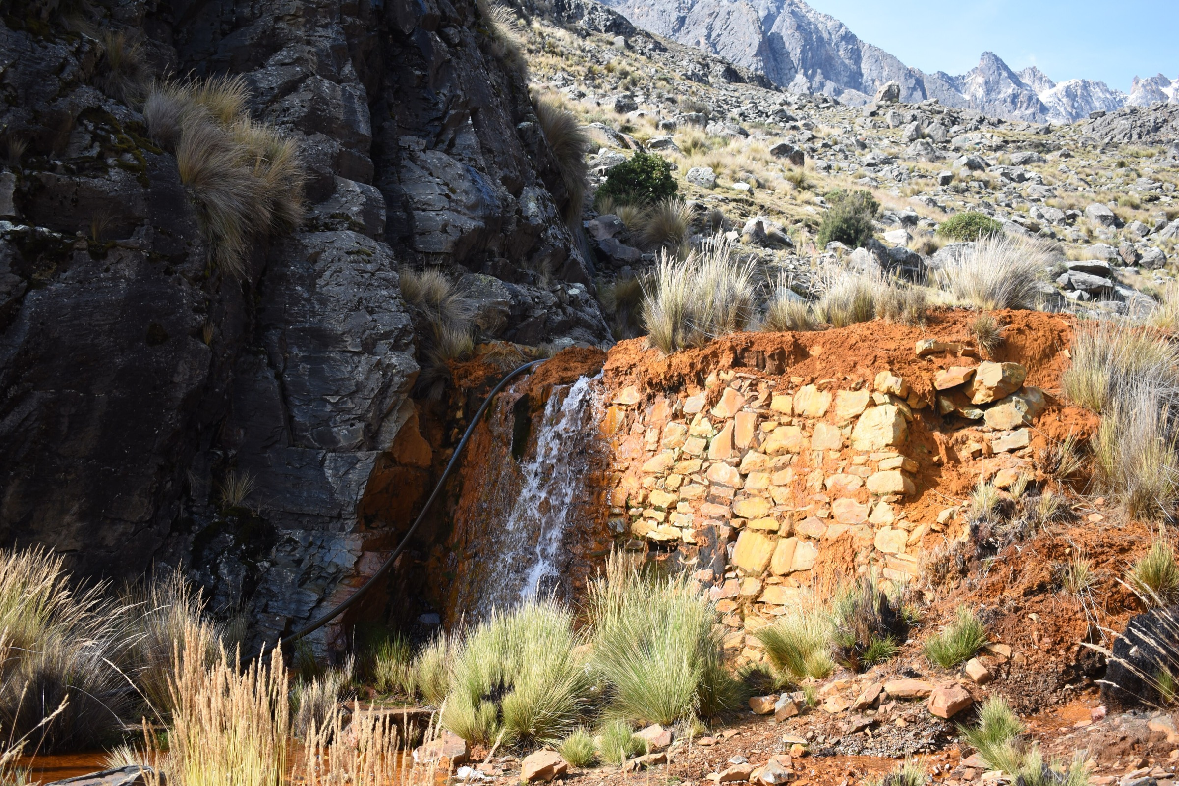
Pelechuco / Apolobamba is one of Bolivia’s remotest high-Andean trekking regions. The area lies inside or near the Apolobamba Integrated Management Natural Area, with glaciated peaks, high puna, vicuna habitat, Kallawaya cultural routes, mining valleys, colonial paths and small communities such as Pelechuco, Hilo Hilo, Curva and Charazani.
Most published routes are multi-day traverses, not ordinary day hikes. For this catalogue, several entries are selected as one-day sections of verified Apolobamba routes, with clear warnings that transport, lodging, guide support and onward logistics are essential. These are not casual out-and-back walks from a resort base.
The normal walking season is the dry season, roughly May to September. Weather, mining-related road damage, water contamination, remoteness, altitude above 5000 m and limited rescue options are the principal safety issues. Local SERNAP, community and guide advice should be treated as mandatory planning context.
Selection rationale
The five selected hikes represent the region’s core walking character: Pelechuco-to-Hilo Hilo access, a high Sunchulli pass day, northern Apolobamba puna and lake sections, Cololo / Altarani scenery, and the official SERNAP Ciudad de Piedra cultural route. All glacier climbs and full multi-day traverses are excluded.
Summary table
| # | Hike | Country | Route type | Distance | Gain | Max elevation | Difficulty |
|---|---|---|---|---|---|---|---|
| 1 | Apolobamba Day 1: Pelechuco to Hilo Hilo Camp | Bolivia | Point-to-point | 13.0 km | 1094 m | 4708 m | Hard |
| 2 | Hilo Hilo to Sunchulli Pass | Bolivia | Point-to-point | 22.5 km | 1170 m | 5035 m | Hard / very remote |
| 3 | Puyo Puyo to Kellu Pata Ranch | Bolivia | Point-to-point | 10.1 km | 671 m | 5228 m | Hard |
| 4 | Kellu Pata Ranch to Cololo Altarani | Bolivia | Point-to-point | 15.8 km | 781 m | 5255 m | Hard |
| 5 | Ruta Ciudad de Piedra: Amarka to Cotapampa | Bolivia | Point-to-point / cultural route | Approx. 4 hr; distance unresolved | Moderate |
1. Apolobamba Day 1: Pelechuco to Hilo Hilo Camp
Snapshot
Itinerary
This stage starts in Pelechuco and climbs into the Apolobamba mountains toward Hilo Hilo. AllTrails records the stage as 13.0 km, 1094 m of ascent and a maximum elevation of 4708 m. It is described as the first stage of the Apolobamba trek and a high-altitude acclimatisation day into remote mountain terrain.
The route is best treated as a one-day section with an overnight or onward logistics at Hilo Hilo, not as an out-and-back from Pelechuco.
Why it is essential
This is the direct walking gateway from Pelechuco into the Apolobamba trekking system and gives the most straightforward day-scale introduction to the region’s remote mountain valleys.
Equipment
- Boots
- Trekking poles
- Warm layer
- Waterproof/windproof shell
- Gloves and hat
- Sun protection
- Water treatment
- Food
- Map/GPS
- Headtorch
- Emergency insulation
Hazards and notes
- Altitude, remoteness, limited accommodation, routefinding and weather are major issues.
- Water sources may be affected by mining activity in parts of Apolobamba; ask local guides or communities before drinking, and treat/filter all water.
GPX / KML links
| Source | URL | Format / access | Reuse status |
|---|---|---|---|
| AllTrails: Apolobamba Day 1 — Pelechuco - Hilo Hilo Camp | alltrails.com | Source map; AllTrails terms apply | Direct GPX not retrieved; source-map reference only |
| Wikiloc: Pelechuco - Charazani Trek | wikiloc.com | Full-trek source map / GPX availability via Wikiloc | Wikiloc terms apply; account may be required; stage extraction required |
External links
- AllTrails — Apolobamba Day 1
- SERNAP Apolobamba — tourist attractions and access
- Wikiloc — Pelechuco - Charazani Trek
2. Hilo Hilo to Sunchulli Pass
Snapshot
Itinerary
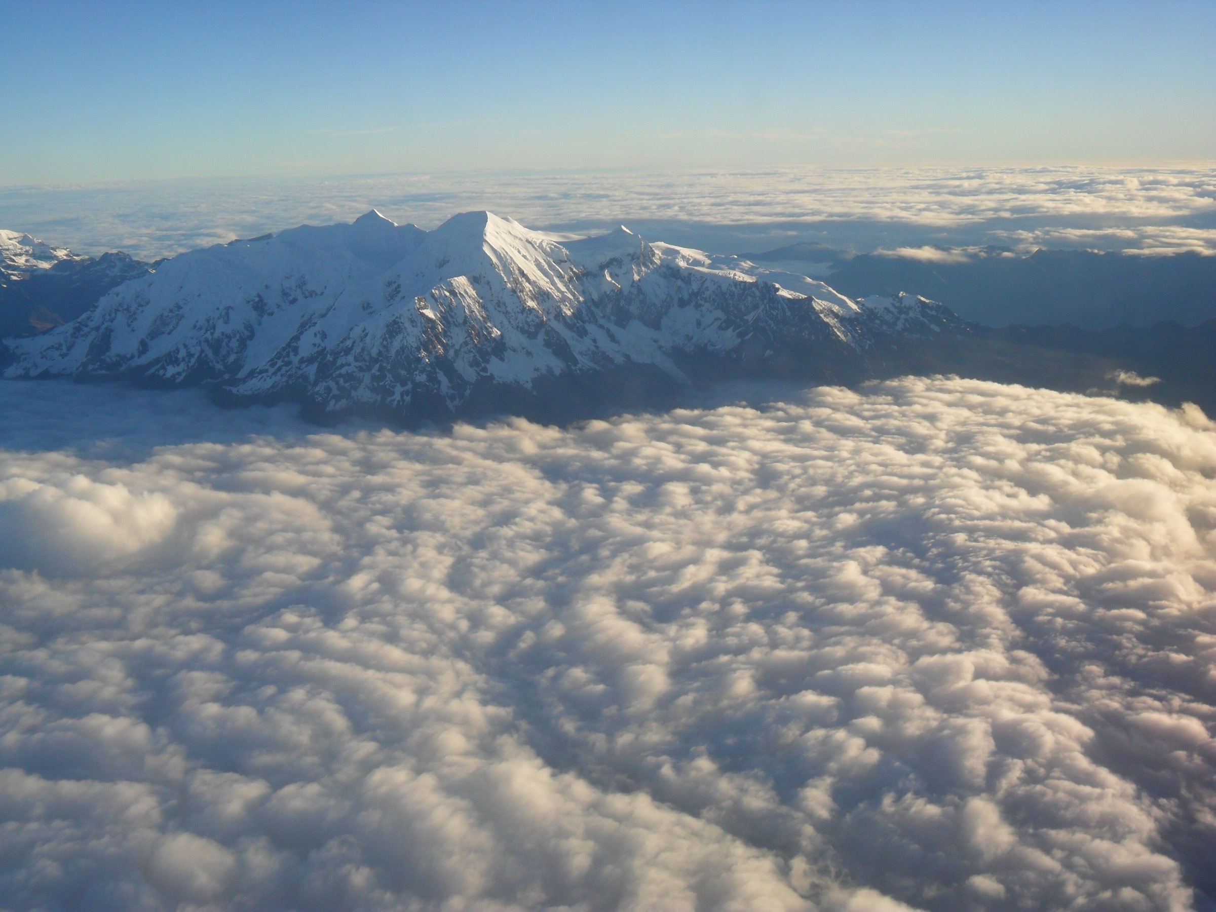
The route climbs from the Hilo Hilo area toward the Sunchulli Pass, a major high point on the Apolobamba traverse. AllTrails records the stage as 22.5 km, 1170 m of ascent and a maximum elevation of 5035 m. Bolivian Mountain Guides describes the broader Sunchulli - Hilo Hilo crossing as passing mines and reaching an apacheta around 5100 m with views along the Apolobamba range.
This is a long, high, point-to-point mountain day and should be planned with camp, porter/animal or vehicle logistics as part of a longer trek.
Why it is essential
Sunchulli is one of the defining high-pass crossings of the Pelechuco / Apolobamba trekking corridor, with the strongest high-mountain panorama among the selected non-glacier routes.
Equipment
- Mountain hiking equipment
- Extra insulation
- Emergency shelter
- Headtorch
- GPS/map
- Water treatment
- Enough food for a long day
- Microspikes if snow remains on the pass
Hazards and notes
- This route is at the upper limit of day-hike suitability.
- Altitude, exposure, storms, snow, long distance and lack of exit options make local guide support strongly recommended.
GPX / KML links
| Source | URL | Format / access | Reuse status |
|---|---|---|---|
| AllTrails: Apolobamba Day 2 — Hilo Hilo - Sunchulli Pass | alltrails.com | Source map; AllTrails terms apply | Direct GPX not retrieved; source-map reference only |
| Wikiloc: Pelechuco - Charazani Trek | wikiloc.com | Full-trek source map / GPX availability via Wikiloc | Wikiloc terms apply; account may be required; stage extraction required |
External links
- AllTrails — Apolobamba Day 2
- Bolivian Mountain Guides — Apolobamba Curva - Pelechuco itinerary
- Wikiloc — Pelechuco - Charazani Trek
3. Puyo Puyo to Kellu Pata Ranch
Snapshot
Itinerary
This northern Apolobamba stage crosses high puna between Puyo Puyo and Kellu Pata Ranch. AllTrails records 10.1 km, 671 m of ascent and a maximum elevation of 5228 m. The description emphasises remote Andean shepherd lands, estancias and llama/alpaca grazing country.
The route is best used as a one-day section of a supported Apolobamba itinerary rather than an isolated day walk.
Why it is essential
This hike represents the high-puna and pastoral side of Apolobamba, complementing the Pelechuco / Hilo Hilo and Sunchulli mountain-pass stages.
Equipment
- Mountain hiking equipment
- Strong sun protection
- Warm layers
- Windproof shell
- Water treatment
- Food
- GPS/map
- Headtorch
Hazards and notes
- Remoteness, altitude, lack of signage, weather and uncertain access are the key risks.
- Confirm route permission and estancia/community logistics before travel.
GPX / KML links
| Source | URL | Format / access | Reuse status |
|---|---|---|---|
| AllTrails: Puyo Puyo - Kellu Pata Ranch | alltrails.com | Source map; AllTrails terms apply | Direct GPX not retrieved; source-map reference only |
External links
4. Kellu Pata Ranch to Cololo Altarani
Snapshot
Itinerary
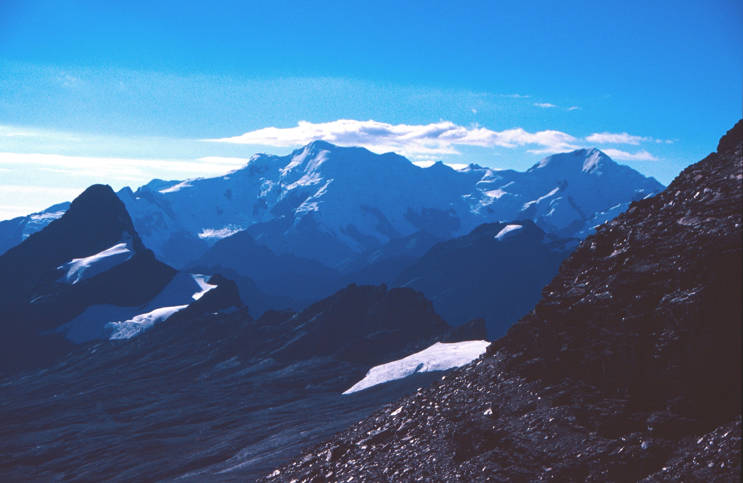
This route crosses remote terrain below the Cololo / Altarani area, with lakes, rivers and views toward snow peaks. AllTrails records 15.8 km, 781 m of ascent and a maximum elevation of 5255 m.
The route is a point-to-point section and should be planned with onward camp or vehicle support. There is no verified simple day-return arrangement.
Why it is essential
Cololo / Altarani gives the catalogue a high-lake and snow-peak stage from the wilder northern Apolobamba, distinct from the better-known Curva - Pelechuco corridor.
Equipment
- Mountain hiking equipment
- Extra warm layers
- Windproof/waterproof shell
- Gloves and hat
- Water treatment
- Food
- Navigation
- Emergency insulation
Hazards and notes
- Altitude above 5200 m, isolation, weather, water quality and navigation are major concerns.
- Treat this as a supported wilderness trek stage.
GPX / KML links
| Source | URL | Format / access | Reuse status |
|---|---|---|---|
| AllTrails: Kellu Pata Ranch - Cololo Altarani | alltrails.com | Source map; AllTrails terms apply | Direct GPX not retrieved; source-map reference only |
External links
- AllTrails — Kellu Pata Ranch - Cololo Altarani
- SERNAP Apolobamba — protected-area access and attractions
5. Ruta Ciudad de Piedra: Amarka to Cotapampa
Snapshot
Itinerary
SERNAP describes Ruta Ciudad de Piedra as an approximately 4-hour walk starting in Ayllu Amarka. The route visits the interpretation centre, charque production centre, male and female rock formations, natural geological formations resembling a stone city, and a colonial bridge before ending in Cotapampa.
No GPX or detailed route statistics were found in this pass, so the entry remains candidate-only for publication.
Why it is essential
Ciudad de Piedra is the strongest official day-scale cultural and geological route identified inside the Apolobamba protected-area material. It balances the high pass and wilderness stages with a community-based attraction.
Equipment
- Walking shoes or boots
- Sun protection
- Water
- Food
- Weather layer
- Local guide or community contact until route marking is verified
Hazards and notes
- Route geometry, distance and elevation are unresolved.
- Confirm access permission, guide availability and community services before travel.
GPX / KML links
| Source | URL | Format / access | Reuse status |
|---|---|---|---|
| SERNAP Apolobamba: Ruta Ciudad de Piedra | sernap.gob.bo | Official route description | No GPX/KML terms stated; context only; route file not found |
External links
External links
| Source | URL |
|---|---|
| SERNAP Apolobamba — protected-area attractions and access | sernap.gob.bo |
| AllTrails — Apolobamba Day 1 (Pelechuco - Hilo Hilo Camp) | alltrails.com |
| AllTrails — Apolobamba Day 2 (Hilo Hilo - Sunchulli Pass) | alltrails.com |
| AllTrails — Puyo Puyo - Kellu Pata Ranch | alltrails.com |
| AllTrails — Kellu Pata Ranch - Cololo Altarani | alltrails.com |
| Wikiloc — Pelechuco - Charazani Trek (full-trek source map) | wikiloc.com |
| Bolivian Mountain Guides — Apolobamba Curva - Pelechuco itinerary | bolivianmountainguides.com |