Regional overview
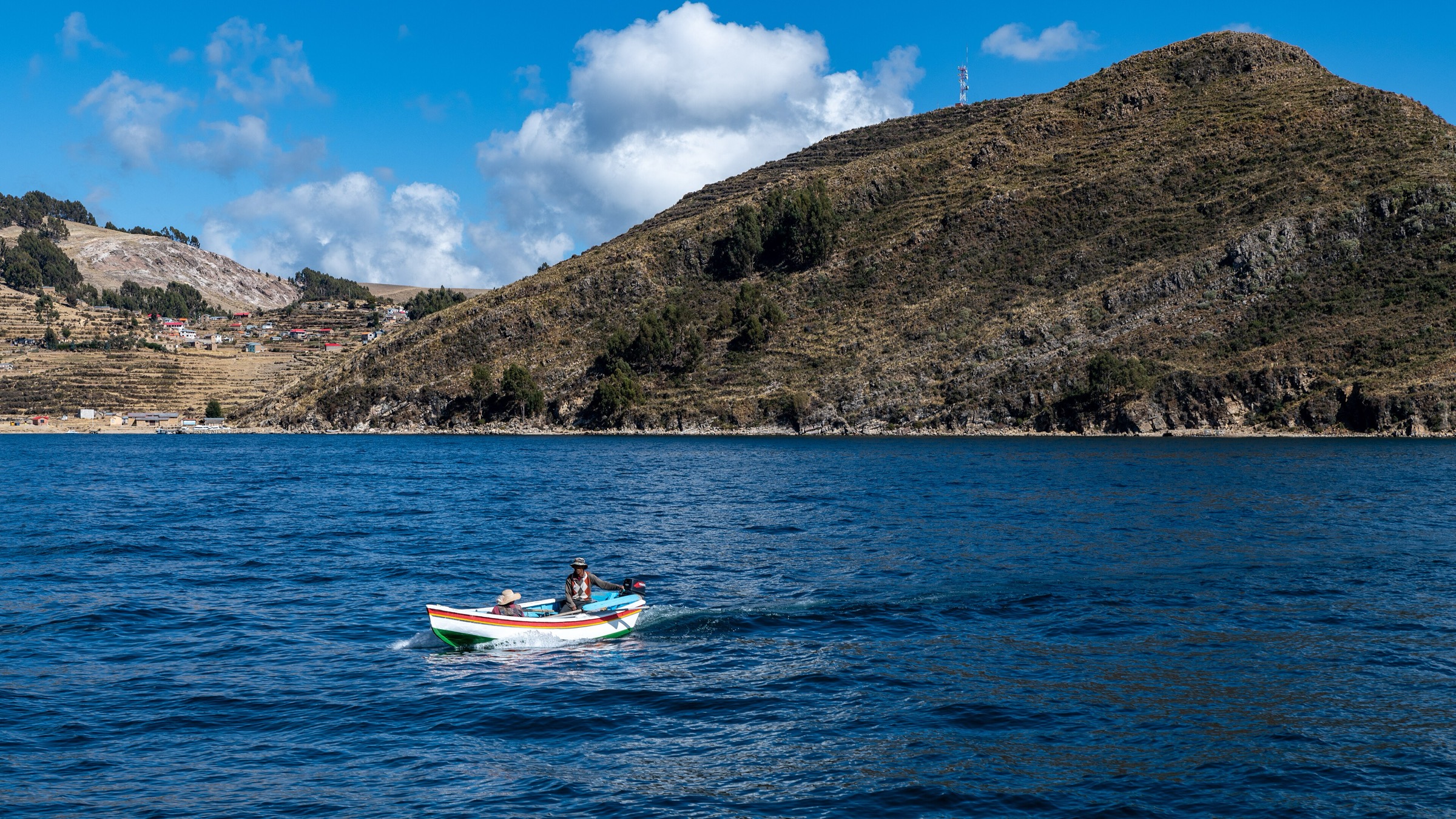
The eastern highlands around Lake Titicaca form a high, settled walking region between about 3,800 m and 5,400 m. The core hiking bases are Copacabana, Isla del Sol, the Yampupata peninsula, Sorata, and the high La Paz-Cordillera Real access roads. The walking character ranges from short lake viewpoints and island pilgrim paths to demanding acclimatised day hikes below Illampu and Chacaltaya.
The lake routes are logistically simple but still high altitude, exposed to sun and wind, and dependent on local boat/community arrangements. The Cordillera Real edge routes have more serious mountain weather, sparse public transport, and track data that often comes from route databases rather than official hiking authorities.
Selection rationale
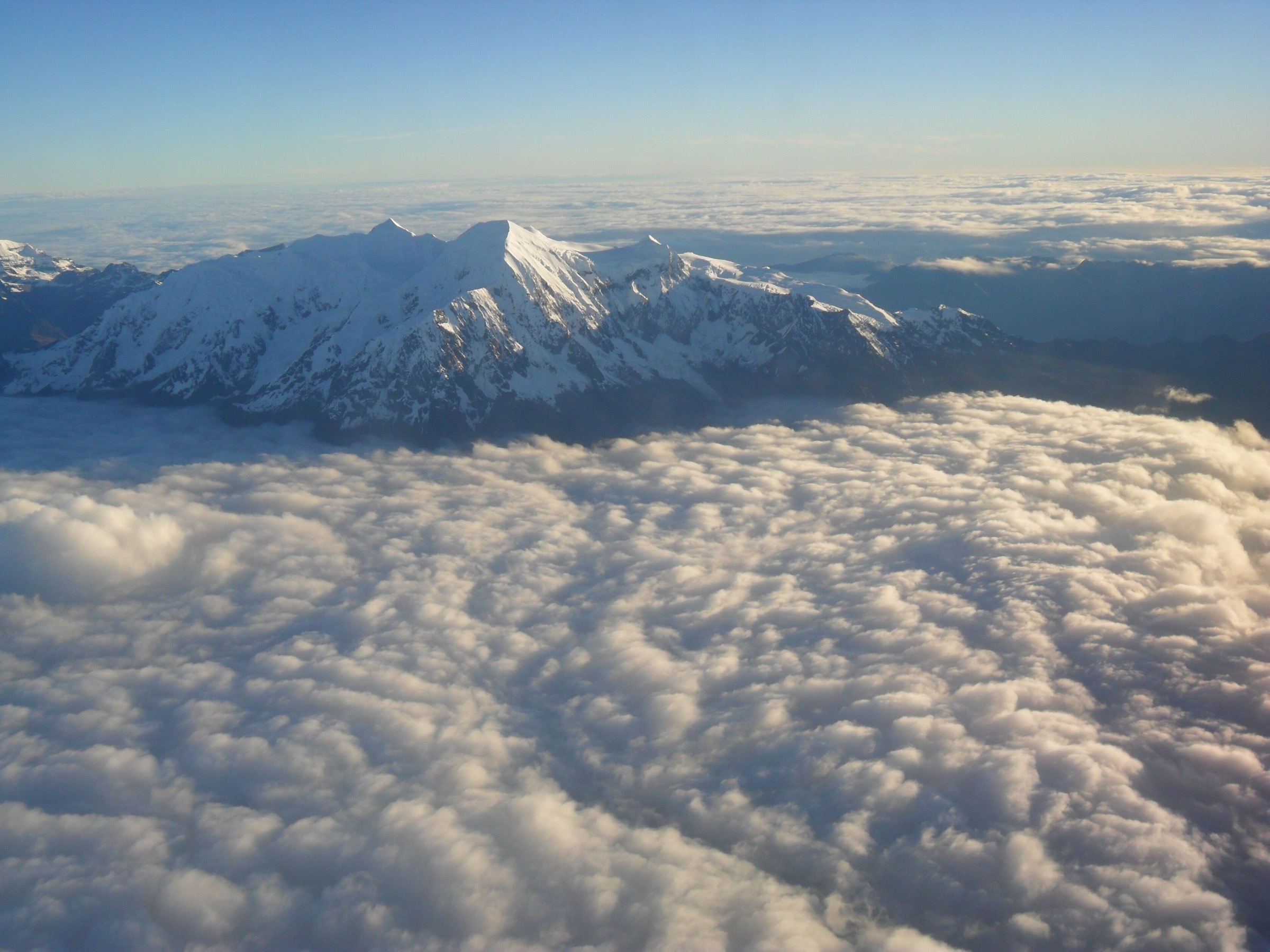
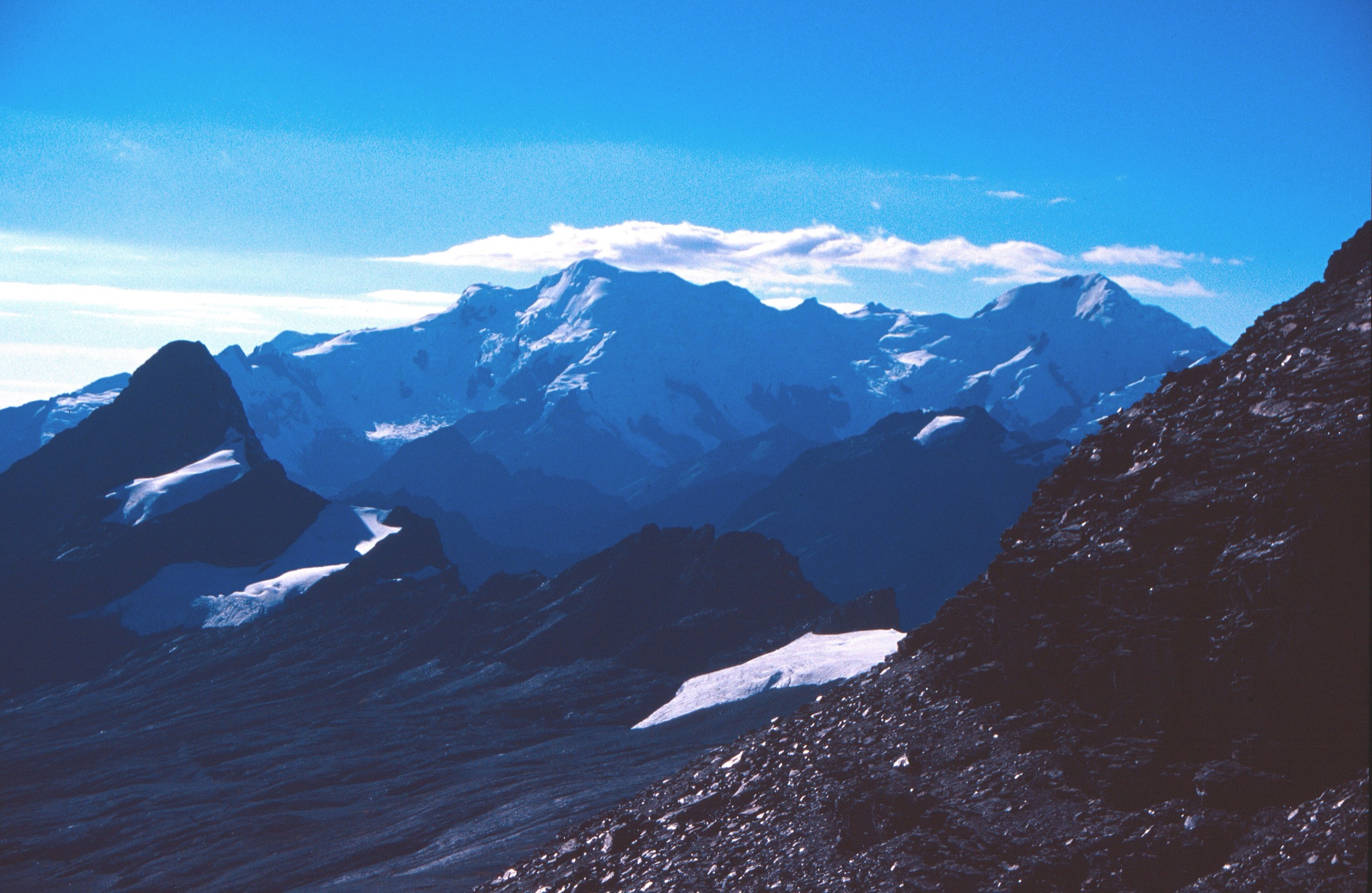
The set prioritises the essential Lake Titicaca walking experiences first: Isla del Sol, the Sampaya-Yampupata lakeshore balcony, and Cerro El Calvario above Copacabana. Chacaltaya and the Glacier Lake/Chillata route extend the region eastward into the high La Paz-Cordillera Real terrain that dominates the lake horizon and gives the catalogue a true high-Andean progression.
Summary table
| # | Hike | Country | Route type | Distance | Gain | Max elevation | Difficulty |
|---|---|---|---|---|---|---|---|
| 1 | Isla del Sol ridge and archaeological circuit | Bolivia | Loop / traverse variant | 18.7 km | 564 m | 4,040 m | Hard |
| 2 | Sampaya - Yampupata lakeshore balcony | Bolivia | Point-to-point | 4.5 km | 107 m | 4,076 m | Easy |
| 3 | Cerro El Calvario, Copacabana | Bolivia | Out-and-back | 1.3 km | 108 m | 3,967 m | Moderate |
| 4 | Mount Chacaltaya from the high roadhead | Bolivia | Out-and-back | 2.4 km | 147 m | 5,357 m on source track | Moderate, serious altitude |
| 5 | Glacier Lake Trail / Laguna Chillata, Sorata | Bolivia | Out-and-back | 10.8 km | 876 m | 5,047 m | Hard |
1. Isla del Sol ridge and archaeological circuit
Snapshot
Itinerary
The route follows island paths between Yumani, the central ridge, Challapampa, and the main archaeological sites. The essential experience is the high ridge view over Lake Titicaca, combined with the Sacred Rock, Chinkana/Labyrinth area, Yumani stairs, terraces, beaches, and village paths.
Why it is essential
Isla del Sol is the signature walking objective of the Bolivian side of Lake Titicaca. It combines lake scenery, Inca-period sacred geography, lived island villages, and a full day of walking without leaving the high plateau.
Equipment
- Walking shoes
- Sun hat, sunscreen, sunglasses
- Wind layer
- Water
- Food
- Offline map
- Cash for local access fees
- Warm layer for early boats, late returns, or sudden wind
Hazards and notes
- Altitude, limited shade, dehydration, dogs, and changing community access rules are the main concerns.
- Boat times can determine whether the full traverse is realistic as a day trip.
- Ask locally about open/closed sections before committing to the north-south route.
GPX / KML links
| Source | URL | Format / access | Reuse status |
|---|---|---|---|
| AllTrails: Isla Del Sol (Island of the Sun) | alltrails.com | Source map / route statistics; AllTrails terms apply | Stats verified; direct GPX reuse unresolved |
External links
2. Sampaya - Yampupata lakeshore balcony
Snapshot
Itinerary
The trail links the ancestral village of Sampaya with Yampupata along a high balcony above Lake Titicaca. It gives open views across the lake to Isla del Sol and, in clear weather, toward the Cordillera Real. The finish at Yampupata is close to the island channel but still requires current boat or vehicle arrangements.
Why it is essential
This is the best short lake-edge walking complement to Isla del Sol: quieter, culturally rooted, and almost continuously scenic over the main basin of Titicaca.
Equipment
- Light hiking equipment
- Sun protection
- Water and snacks
- Wind layer
- Cash for local transport
- Offline map or downloaded route, since waymarking reliability was not independently verified
Hazards and notes
- The route is short but still above 4,000 m.
- Confirm private land/community access, road pickup, and boat options before starting, because it is a point-to-point walk.
GPX / KML links
| Source | URL | Format / access | Reuse status |
|---|---|---|---|
| AllTrails: Sampaya - Yampupata | alltrails.com | Source map / route statistics; AllTrails terms apply | Stats verified; direct GPX reuse unresolved |
External links
3. Cerro El Calvario, Copacabana
Snapshot
Itinerary
The route climbs stone steps and rocky slopes from Copacabana to the hilltop shrine and viewpoint. The summit gives the classic view over Copacabana, the harbour, Lake Titicaca, Isla del Sol, and the surrounding highlands.
Why it is essential
Cerro El Calvario is the shortest essential hike in the region and the most efficient way to understand Copacabana’s setting on foot.
Equipment
- Walking shoes with grip
- Water
- Sun protection
- Wind layer
- Headlamp if descending after sunset
Hazards and notes
- The climb is steep and can feel harder than its distance suggests because of altitude and steps.
- Crowds, uneven rock, and sunset descents are the main practical issues.
GPX / KML links
| Source | URL | Format / access | Reuse status |
|---|---|---|---|
| AllTrails: Cerro El Calvario | alltrails.com | Source map / route statistics; AllTrails terms apply | Stats verified; direct GPX reuse unresolved |
External links
4. Mount Chacaltaya from the high roadhead
Snapshot
Itinerary
From the high roadhead the trail climbs the rocky ridge above the former ski station to the summit viewpoint. Clear days give views toward Huayna Potosí, Illimani, the Altiplano, La Paz, and sometimes Lake Titicaca.
Why it is essential
Chacaltaya is one of the most accessible very-high-altitude hikes in Bolivia. It gives a quick but uncompromising introduction to 5,000 m terrain above the Titicaca-La Paz plateau.
Equipment
- Warm mountain layers
- Windproof shell
- Gloves and hat
- Sunglasses and sunscreen
- Water and snacks
- Offline navigation
- Trekking poles on loose rock
Hazards and notes
- The walk is short, but altitude illness, cold, wind, lightning, and snow can make it serious.
- The route should follow acclimatisation, not replace it.
- Road access and entrance fees should be checked locally.
GPX / KML links
| Source | URL | Format / access | Reuse status |
|---|---|---|---|
| AllTrails: Mount Chacaltaya | alltrails.com | Source map / route statistics; AllTrails terms apply | Stats verified; direct GPX reuse unresolved |
External links
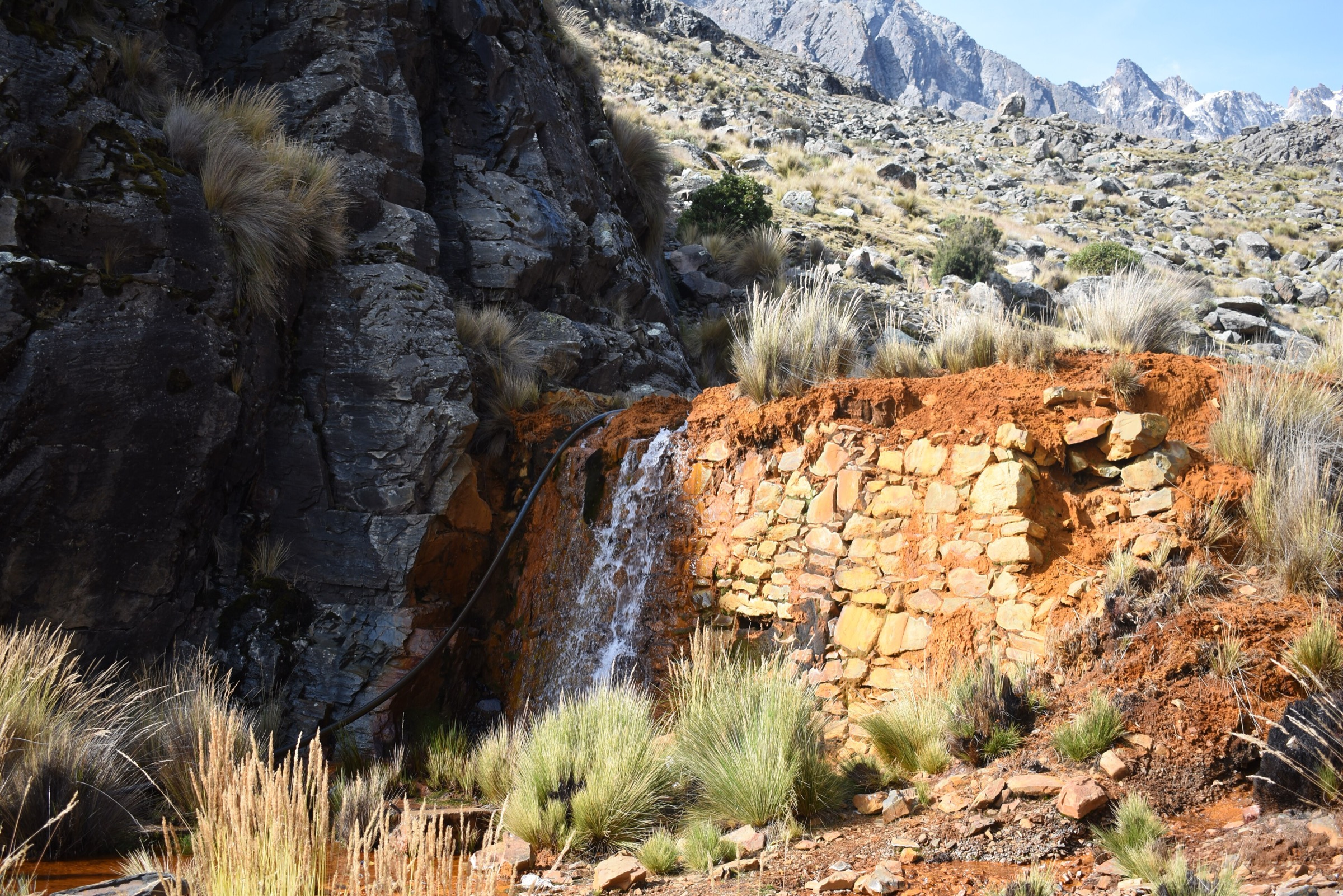
5. Glacier Lake Trail / Laguna Chillata, Sorata
Snapshot
Itinerary
The trail climbs from the Sorata side toward Laguna Chillata and the glacial basin below Illampu. It is a high, exposed mountain day with rock, lake, glacier, and pass terrain rather than a lakeshore walk.
Why it is essential
This route gives the region its high-Cordillera endpoint: the snow and glacier world seen from Lake Titicaca becomes a reachable day objective for acclimatised hikers.
Equipment
- Sturdy boots
- Warm layers
- Waterproof/windproof shell
- Hat and gloves
- Sunglasses and sunscreen
- 2 litres or more of water
- Food
- Navigation backup
- Microspikes or snow equipment may be necessary after snowfall
Hazards and notes
- Altitude, remoteness, storms, snow, stream crossings, and route-finding are the main hazards.
- This is not a casual Copacabana add-on; it belongs after acclimatisation and with reliable local trailhead logistics.
GPX / KML links
| Source | URL | Format / access | Reuse status |
|---|---|---|---|
| AllTrails: Glacier Lake Trail (Glacier Lake - Chillata Lagoon) | alltrails.com | Source map / route statistics; AllTrails terms apply | Stats verified; direct GPX reuse unresolved |
External links
External links
| Source | URL |
|---|---|
| AllTrails — Isla Del Sol | alltrails.com |
| AllTrails — Sampaya - Yampupata | alltrails.com |
| AllTrails — Cerro El Calvario | alltrails.com |
| AllTrails — Mount Chacaltaya | alltrails.com |
| AllTrails — Glacier Lake / Chillata | alltrails.com |
| Bolivia en tus manos — Isla del Sol overview | boliviaentusmanos.com |
| Late Bolivia — Lake Titicaca destination context | latebolivia.com |