Regional overview
Cordillera Quimsa Cruz is one of the least standardised hiking regions in the Bolivian Andes: a compact range of granite towers, mining valleys, glacial cirques, and high lagoons south-east of La Paz. It is much quieter than the Cordillera Real and has weaker public hiking infrastructure. Most usable route statistics found in this pass come from AllTrails source maps, not official park or municipal walking guides.
The walking season is generally best in the dry months, when high roads are more reliable and snow or storm runoff is less likely to obscure rough tracks. Access usually requires private transport or local arrangements from Quime, Viloco, Malla, or nearby mining settlements.
Selection rationale
The selection favours day-length source routes that represent the main Quimsa Cruz walking experiences: a high summit shoulder above Viloco, a very high lake-and-summit route, a glacier-viewpoint day, a named Quimsa K’ota lagoon walk, and a longer Pampa Molino lagoon route with mining-history context. Because local official validation is sparse, verification labels are deliberately conservative.
Summary table
| # | Hike | Country | Route type | Distance | Gain | Max elevation | Difficulty |
|---|---|---|---|---|---|---|---|
| 1 | Viloco - La Salvadora Hill | Bolivia | Out-and-back | 14.2 km | 1,096 m | 5,111 m | Hard |
| 2 | Ch’amak Qullu | Bolivia | Out-and-back | 7.1 km | 716 m | 5,565 m | Hard |
| 3 | South Glacier Base Camp - Glacier Viewpoint | Bolivia | Out-and-back | 7.4 km | 254 m | 4,962 m | Moderate |
| 4 | Quimsa K’ota Lagoons | Bolivia | Out-and-back | 12.4 km | 522 m | 4,886 m | Hard |
| 5 | Pampa Molino - Lagoons | Bolivia | Out-and-back | 11.7 km | 1,304 m | 4,694 m | Hard |
1. Viloco - La Salvadora Hill
Snapshot
Itinerary
The route climbs from the Viloco side into high Quimsa Cruz terrain, gaining more than 1,000 m toward La Salvadora. The appeal is the transition from mining-settlement access to granite ridges, glacial cirques, and broad views across the lesser-visited range.
Why it is essential
La Salvadora is the strongest day-length summit-style route found near the heart of Quimsa Cruz, with enough distance and height gain to represent the range’s serious mountain character.
Equipment
- Boots
- Warm layers
- Windproof/waterproof shell
- Gloves and hat
- Sunglasses and sunscreen
- 2 litres or more of water
- Food
- First-aid kit
- Offline navigation
- Trekking poles
- Emergency insulation
Hazards and notes
- High altitude, isolation, rough roads, mining tracks, poor waymarking, storms, and navigation uncertainty are major issues.
- The route should be treated as a remote mountain day, not as a maintained tourist trail.
GPX / KML links
| Source | URL | Format / access | Reuse status |
|---|---|---|---|
| AllTrails: Viloco - La Salvadora Hill | alltrails.com | Source map / route statistics; AllTrails terms apply | Stats verified; direct GPX reuse unresolved |
External links
2. Ch’amak Qullu
Snapshot
Itinerary
The source route climbs a short but very high line toward Ch’amak Qullu. It includes lake and high-view terrain and reaches an altitude where even a half-day distance becomes a serious undertaking.
Why it is essential
This candidate adds the high-elevation Quimsa Cruz experience: compact distance, strong ascent, lake scenery, and a maximum elevation above 5,500 m.
Equipment
- Full high-altitude day-hike equipment
- Warm layers
- Shell
- Gloves
- Sun protection
- Water and food
- GPS/offline map
- Emergency layer
- Snow traction if recent snowfall (conditions not verified)
Hazards and notes
- The main unresolved issue is independent route validation.
- The source has limited user data, so local confirmation is needed before publication as a fully verified hike.
- Altitude illness, weather, and route-finding are significant.
GPX / KML links
| Source | URL | Format / access | Reuse status |
|---|---|---|---|
| AllTrails: Ch’amak Qullu | alltrails.com | Source map / route statistics; AllTrails terms apply | Stats verified; direct GPX reuse unresolved |
External links
3. South Glacier Base Camp - Glacier Viewpoint
Snapshot
Itinerary
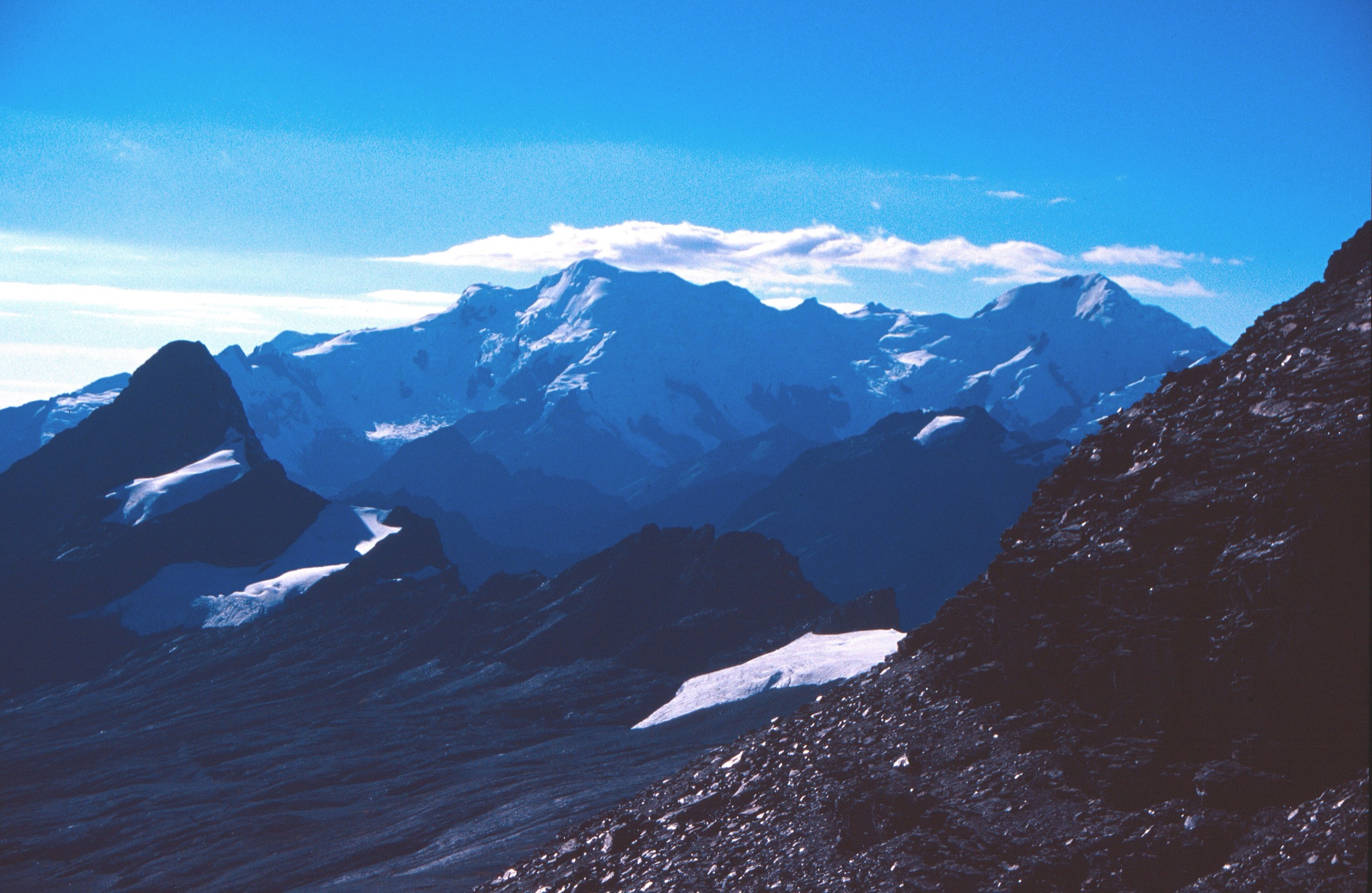
The route heads into a high glacier-view basin, with lakes, streams, and a viewpoint toward the southern glacier terrain of the range. The ascent is modest compared with the other Quimsa Cruz options, but the route still stays close to 5,000 m.
Why it is essential
This is the best lower-commitment glacier-view candidate found in the range. It adds a moderate-distance option without losing the alpine feel of Quimsa Cruz.
Equipment
- Mountain walking kit
- Sun and wind protection
- Warm layer
- Waterproof shell
- Water and food
- Offline map
- Trekking poles for boggy or uneven glacial-valley ground
Hazards and notes
- Altitude, wet ground, stream crossings, and route-finding remain concerns despite the moderate grade.
- Do not approach glacier ice or unstable moraine without local knowledge.
GPX / KML links
| Source | URL | Format / access | Reuse status |
|---|---|---|---|
| AllTrails: South Glacier Base Camp - Glacier Viewpoint | alltrails.com | Source map / route statistics; AllTrails terms apply | Stats verified; direct GPX reuse unresolved |
External links
4. Quimsa K’ota Lagoons
Snapshot
Itinerary
The route follows high-country access into the Quimsa K’ota lagoon area. It is a lake-focused walk with broad highland views and enough distance to feel like a full day without the extreme gain of La Salvadora or Pampa Molino.
Why it is essential
The named Quimsa K’ota lagoons give the range a classic lake-basin day hike and are an obvious representative of the glacial-lagoon scenery that defines Quimsa Cruz.
Equipment
- Mountain hiking equipment
- Warm layers
- Shell
- Sun protection
- Water and food
- GPS/offline map
- Emergency gear
- Waterproof footwear for marshy lake margins
Hazards and notes
- The AllTrails activity tag includes off-road driving as well as hiking, so vehicle approach and exact walking start need field confirmation.
- Stay on durable ground near lagoons.
GPX / KML links
| Source | URL | Format / access | Reuse status |
|---|---|---|---|
| AllTrails: Quimsa K’ota Lagoons | alltrails.com | Source map / route statistics; AllTrails terms apply | Stats verified; direct GPX reuse unresolved |
External links
5. Pampa Molino - Lagoons
Snapshot
Itinerary
The route climbs from the Pampa Molino area into a high plateau and lagoon zone. The source description links the landscape with old mineral mills and mining valleys, making this both a natural and historical walking candidate.
Why it is essential
Pampa Molino broadens the set beyond peak and glacier viewpoints, adding a demanding lagoon route tied to the mining history that shaped access to Quimsa Cruz.
Equipment
- Full mountain day equipment
- Warm layers
- Shell
- Gloves
- Sun protection
- Water and food
- Navigation
- Emergency insulation
Hazards and notes
- This is a long, high-gain candidate with no independent official verification in this pass.
- Route-finding, private/mining land, weather, and transport logistics require local confirmation before publication.
- Start early; the combination of gain and altitude makes timing important.
GPX / KML links
| Source | URL | Format / access | Reuse status |
|---|---|---|---|
| AllTrails: Pampa Molino - Lagoons | alltrails.com | Source map / route statistics; AllTrails terms apply | Stats verified; direct GPX reuse unresolved |
External links
External links
| Source | URL |
|---|---|
| AllTrails — Viloco - La Salvadora Hill | alltrails.com |
| AllTrails — Ch’amak Qullu | alltrails.com |
| AllTrails — South Glacier Base Camp - Glacier Viewpoint | alltrails.com |
| AllTrails — Quimsa K’ota Lagoons | alltrails.com |
| AllTrails — Pampa Molino - Lagoons | alltrails.com |