Regional overview
The Prokletije / Accursed Mountains form one of the wildest walking regions in south-east Europe, spanning northern Albania, western Kosovo, and eastern Montenegro. The hiking character is high, rugged, and remote: limestone peaks, glacial lakes, steep forested valleys, shepherd summer pastures, and cross-border passes. The Peaks of the Balkans route links Albania, Kosovo, and Montenegro in a 192 km circular itinerary, which is a useful framework for identifying established high-level hiking corridors in this region.
The main hiking centres for this selection are Theth and Valbonë in Albania, Plav–Gusinje–Grebaje and Babino Polje in Montenegro, and the Dobërdol / Gjeravica high-pasture area on the Kosovo–Albania side of the range. Access is often by guesthouse transfer, local minibus, taxi, or rough mountain road; several trailheads are not straightforward public-transport destinations.
The normal high-mountain hiking season is late June to September. Early summer snow can remain on passes and summit slopes, and autumn weather can become cold quickly. Cross-border routes need particular caution: the Peaks of the Balkans route notes special permit requirements where the trail crosses between Albania, Kosovo, and Montenegro away from official border checkpoints.
Selection rationale
These five hikes were selected to represent the region’s essential day-hiking character: a famous cross-valley pass, a major border summit, Kosovo’s highest mountain, a Montenegro ridge-and-viewpoint loop, and a classic glacial lake traverse. The set deliberately avoids choosing five routes from the same trailhead.
Summary table
| # | Hike | Country | Route type | Distance | Gain | Max elevation | Difficulty |
|---|---|---|---|---|---|---|---|
| 1 | Theth–Valbonë via Valbona Pass | Albania | Point-to-point | 16.4 km | +1,175 m | 1,854 m | Moderate / strenuous |
| 2 | Maja e Rosit / Rosni Peak from Valbonë | Albania / Montenegro border | Out-and-back or loop variant | 18.1–21.7 km | +1,374–1,577 m | 2,047–2,525 m depending variant | Hard |
| 3 | Gjeravica via Dobërdol–Gacaferi high route | Kosovo / Albania border | Point-to-point with summit out-and-back | 19.0 km | +1,134 m | 2,656 m | Moderate / hard |
| 4 | Volušnica–Talijanka–Popadija loop from Grebaje | Montenegro | Loop / lollipop | 10.0–11.2 km | +1,013–1,090 m | 2,032–2,057 m | Moderate / hard |
| 5 | Babino Polje–Hrid Lake–Plav | Montenegro | Point-to-point / transfer traverse | 20.8 km | +640 m | 2,050 m | Moderate |
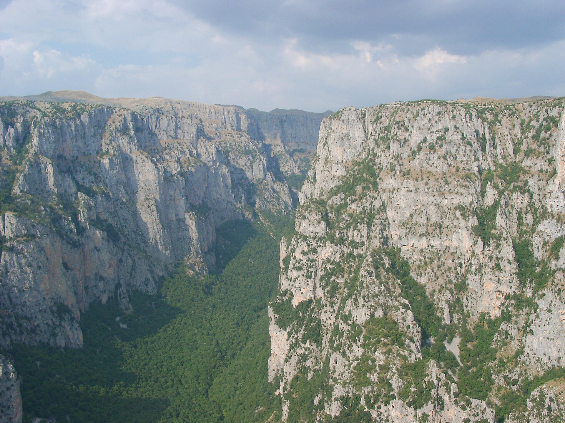
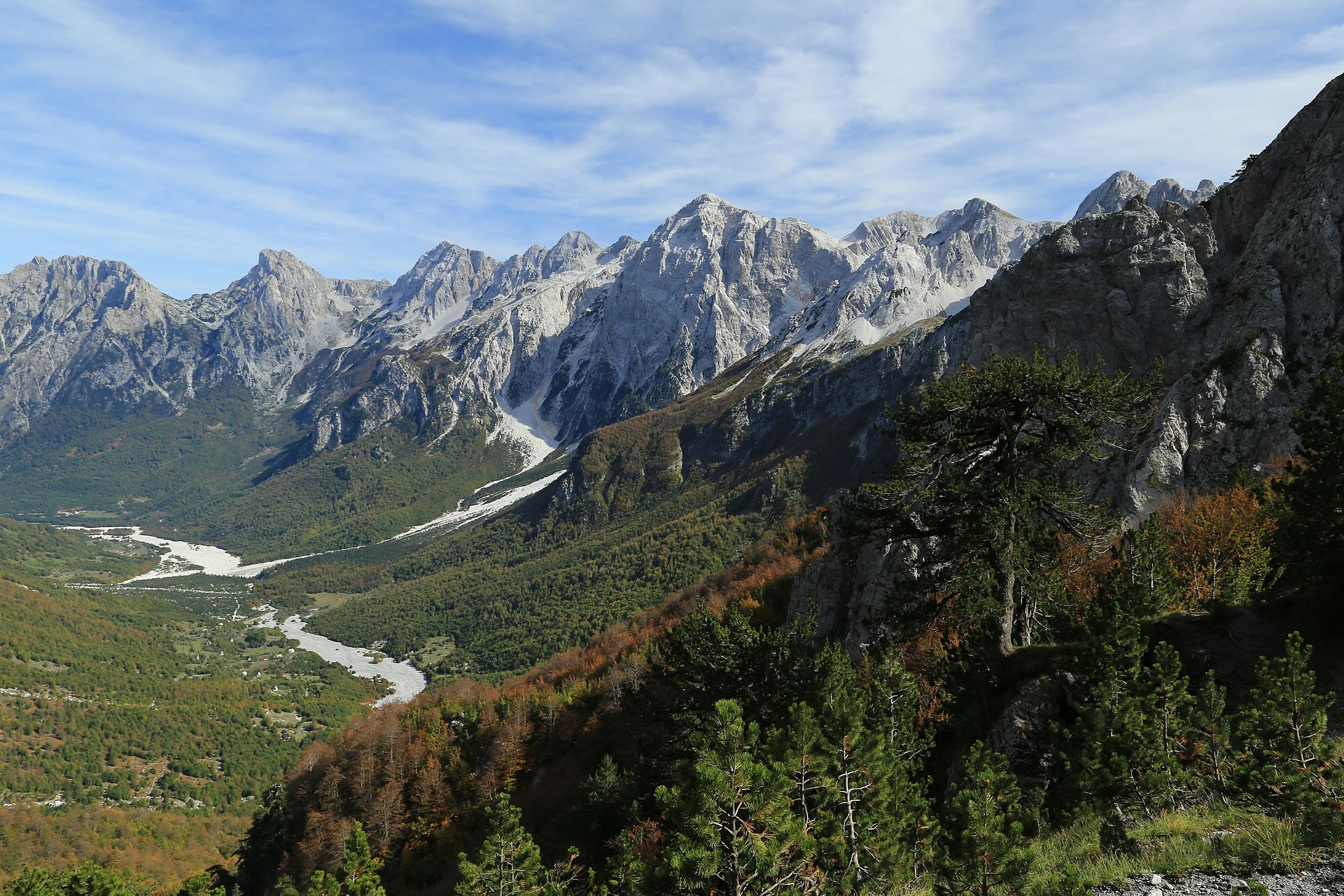
1. Theth–Valbonë via Valbona Pass
Snapshot
Itinerary
The route leaves Theth centre, follows the valley and river system south-eastwards, then joins the old mule route towards Qafa e Valbonës. The trail climbs through forest and meadow terrain before reaching the pass between Theth and Valbonë. The descent is steep in places, with switchbacks and open mountain views towards the Valbonë valley. The Peaks of the Balkans route page gives 16.4 km, +1,175 m, -940 m, 7 hours, and a high point of 1,854 m; its GPX text describes the route as a marked white-red-white mountain path and places the pass waypoint at 1,759 m.
Why it is essential
This is the classic crossing between the two best-known Albanian hiking valleys of the Accursed Mountains. It is the region’s most recognisable point-to-point day hike and gives a concentrated sample of the area’s main features: old mule tracks, high pass scenery, steep limestone slopes, forest, and guesthouse-based valley walking.
Equipment
- Sturdy boots
- Weatherproof layer
- Warm layer
- Sun protection
- Water
- Food
- Map/GPS
- Navigation backup
- Trekking poles recommended for the long descent
Hazards and notes
- Early season snow can make the upper route significantly more serious.
- The descent into Valbonë is steep and can be slippery after rain.
- Water sources are mentioned in the GPX text, but water availability should not be assumed late in dry periods.
- This is a point-to-point hike, so onward accommodation or transport should be arranged before departure.
GPX / KML links
| Source | URL | Format | Notes |
|---|---|---|---|
| Peaks of the Balkans route page | peaksofthebalkans.info | Interactive route page + GPX | File found; reuse not cleared |
| Peaks of the Balkans direct GPX | peaksofthebalkans.info | GPX | Suitable as a source reference; attribution / permission unresolved |
Sources
- Peaks of the Balkans — Theth–Valbonë stage
- Peaks of the Balkans route page
- Direct GPX
- Wikimedia Commons image page
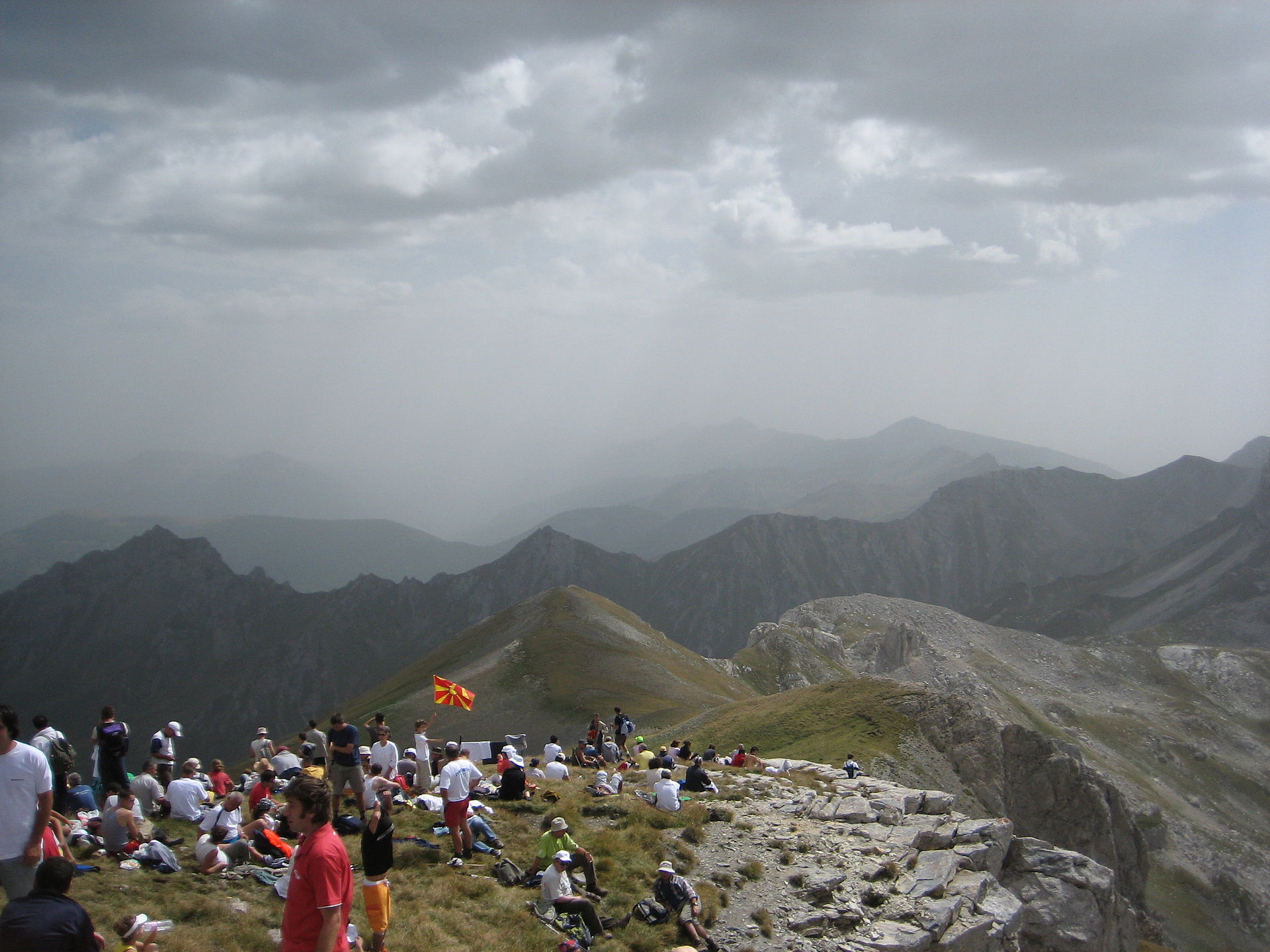
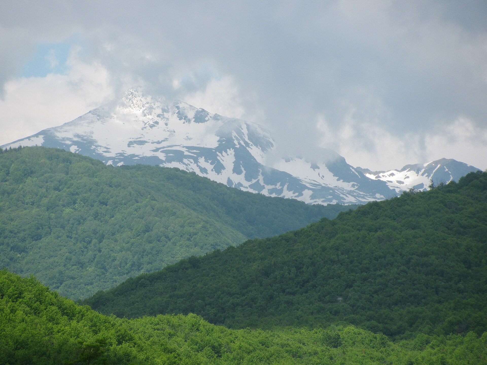
2. Maja e Rosit / Rosni Peak from Valbonë
Snapshot
Itinerary
The route climbs from the Valbonë valley towards Kukaj and the upper slopes below Maja e Rosit / Rosni Peak. The EVAdinarica / Outdooractive route is described as going “almost to Maja e Rosit” and gives 21.7 km, +1,374 m, -1,378 m, and 7 hours 53 minutes, with a high point of 2,047 m. Public summit-route sources show a harder variant that reaches the 2,525 m summit area. One Wikiloc summit loop gives 18.1 km, +1,577 m, a maximum elevation of about 2,518 m, and 7 hours 51 minutes. Its route notes describe a climb through Kukaj, a hut after roughly 5.1 km, and a final 2 km section with slopes over 40%.
Why it is essential
Maja e Rosit is one of the major high summits accessible from the Valbonë side and gives a more strenuous summit objective than the Theth–Valbonë pass. It represents the border-ridge character of the Accursed Mountains: high grass slopes, remote shepherd terrain, and broad views across Albania and Montenegro.
Equipment
- Sturdy boots
- Trekking poles
- Weatherproof layer
- Warm layer
- Navigation backup
- Sun protection
- Enough water for a long exposed ascent
- Additional traction equipment may be needed if snow remains, but this must be judged from current local conditions
Hazards and notes
- The summit variant is a serious mountain day with steep upper slopes and possible navigation difficulty in cloud.
- If the route crosses or touches the Montenegro border, border-permit requirements must be checked before departure.
- The statistics are not fully harmonised between sources: the EVAdinarica route appears to stop below the true summit, while community summit routes continue higher.
GPX / KML links
| Source | URL | Format | Notes |
|---|---|---|---|
| EVAdinarica / Outdooractive route page | outdooractive.com | Interactive map; GPX / KML / FIT buttons shown on page | Source route found; reuse unresolved |
| Wikiloc summit loop | wikiloc.com | GPX download page | Route source found; reuse unresolved |
| Alternative Wikiloc route referenced in source notes | wikiloc.com | GPX download page | Alternative route source found; reuse unresolved |
Sources
- Outdooractive — Maja e Rosit hike
- Wikiloc — Maja Rosit 2525 m
- Wikiloc — Maja Rosit 2525 m alternative
- Wikimedia Commons image page
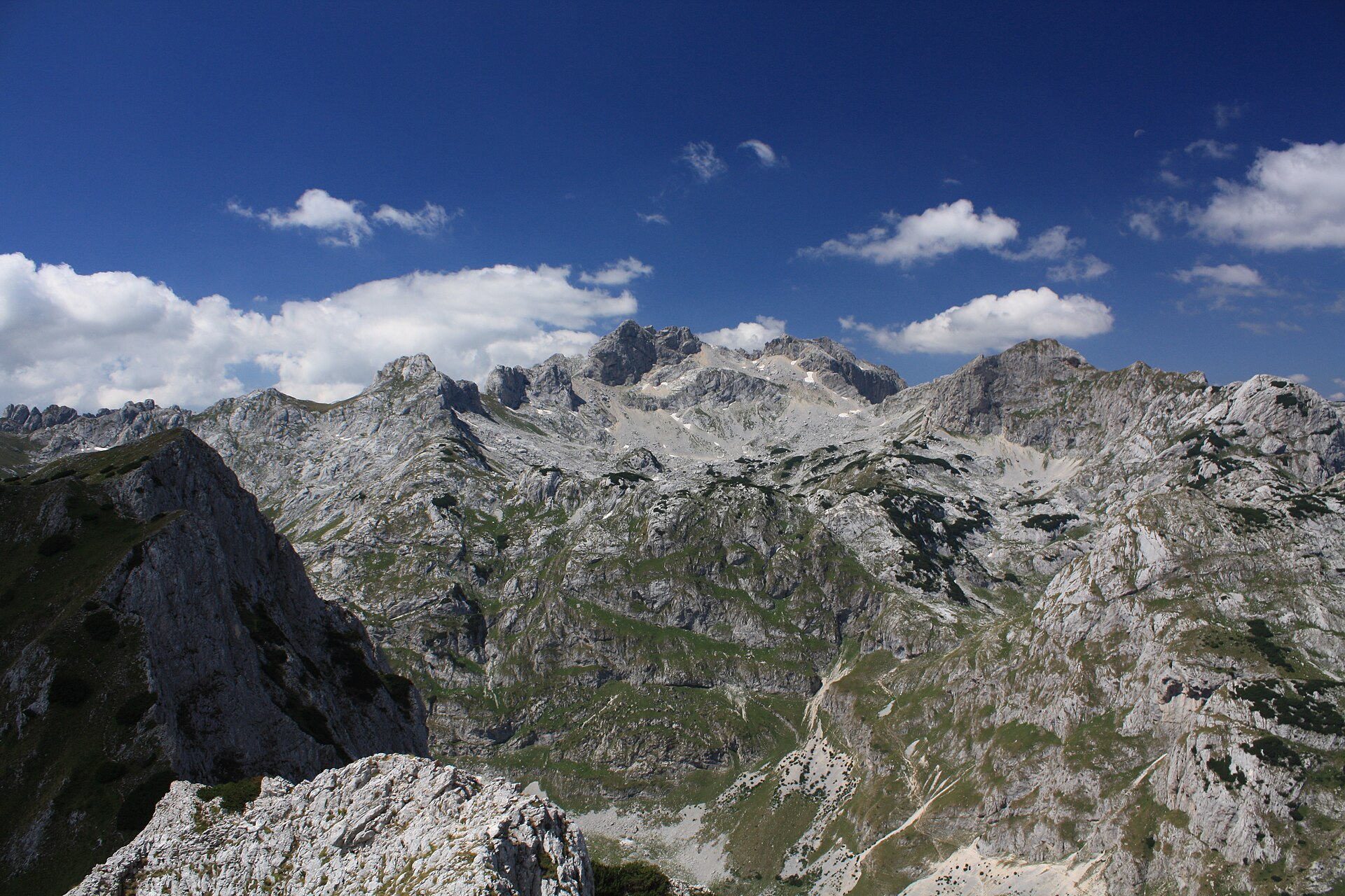
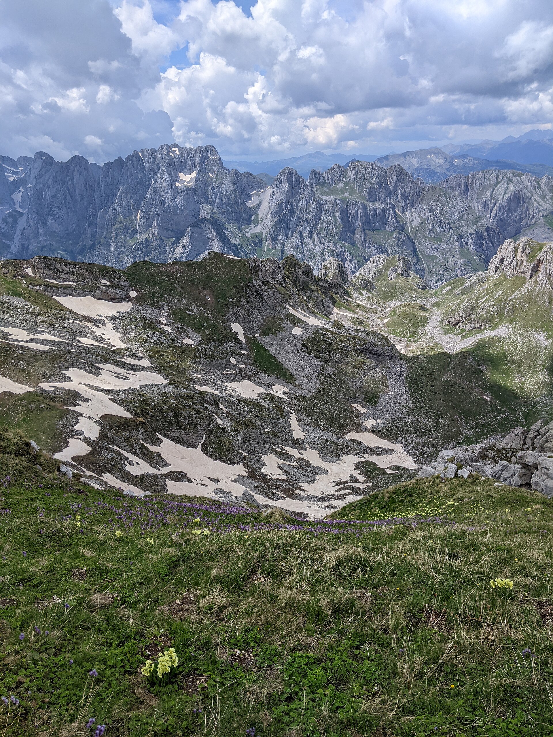
3. Gjeravica via Dobërdol–Gacaferi high route
Snapshot
Itinerary
The route leaves the Dobërdol high valley and climbs north-east towards Ali Peja Pass. It passes glacial-lake terrain before reaching Gjeravica, listed on the Peaks of the Balkans route page as Kosovo’s highest mountain at 2,656 m. The route then returns from the summit area and continues towards the Gacaferi side. The Peaks of the Balkans page gives 19 km, +1,134 m, -1,130 m, 8–9 hours, and a downloadable GPX. A Kosovo-side community route from the Gropa e Erenikut / Junik approach gives a shorter loop-style ascent of about 17.7 km, +1,066 m, and a maximum elevation of about 2,649 m, but also notes poor road access and a need for a proper vehicle. This confirms the summit objective but shows that day-hike access and statistics vary significantly by trailhead.
Why it is essential
Gjeravica is Kosovo’s highest mountain and one of the defining summits of the Accursed Mountains. The route combines high pastures, glacial lakes, borderland terrain, and a major national high point, making it the essential Kosovo entry in this regional selection.
Equipment
- Sturdy boots
- Trekking poles
- Warm layer
- Waterproof layer
- Food
- Water
- Map/GPS
- Navigation backup
- Headtorch for a long day
- Additional traction may be needed if snow remains on the upper route
Hazards and notes
- This is remote high mountain terrain.
- Fog, thunderstorms, lingering snow, and poor access roads can all make the route more serious.
- The Dobërdol–Gacaferi version is cross-border in character, and Peaks of the Balkans border-permit requirements should be checked before using it.
- A purely Kosovo-side day route may be preferable for some itineraries, but the trailhead access and statistics need separate local verification.
GPX / KML links
| Source | URL | Format | Notes |
|---|---|---|---|
| Peaks of the Balkans route page | peaksofthebalkans.info | Interactive route page + GPX | File found; reuse not cleared |
| Peaks of the Balkans direct GPX | peaksofthebalkans.info | GPX | Suitable as a source reference; attribution / permission unresolved |
| Wikiloc Kosovo-side summit route | wikiloc.com | GPX download page | Route source found; reuse unresolved |
| Alternative Wikiloc route referenced in source notes | wikiloc.com | GPX download page | Alternative route source found; reuse unresolved |
Sources
- Peaks of the Balkans — Dobërdol–Gjeravica stage
- Peaks of the Balkans route page
- Direct GPX
- Wikiloc — Gjeravica Peak 2656 m
- Wikiloc — Gjeravica Peak hiking
- Wikimedia Commons image page
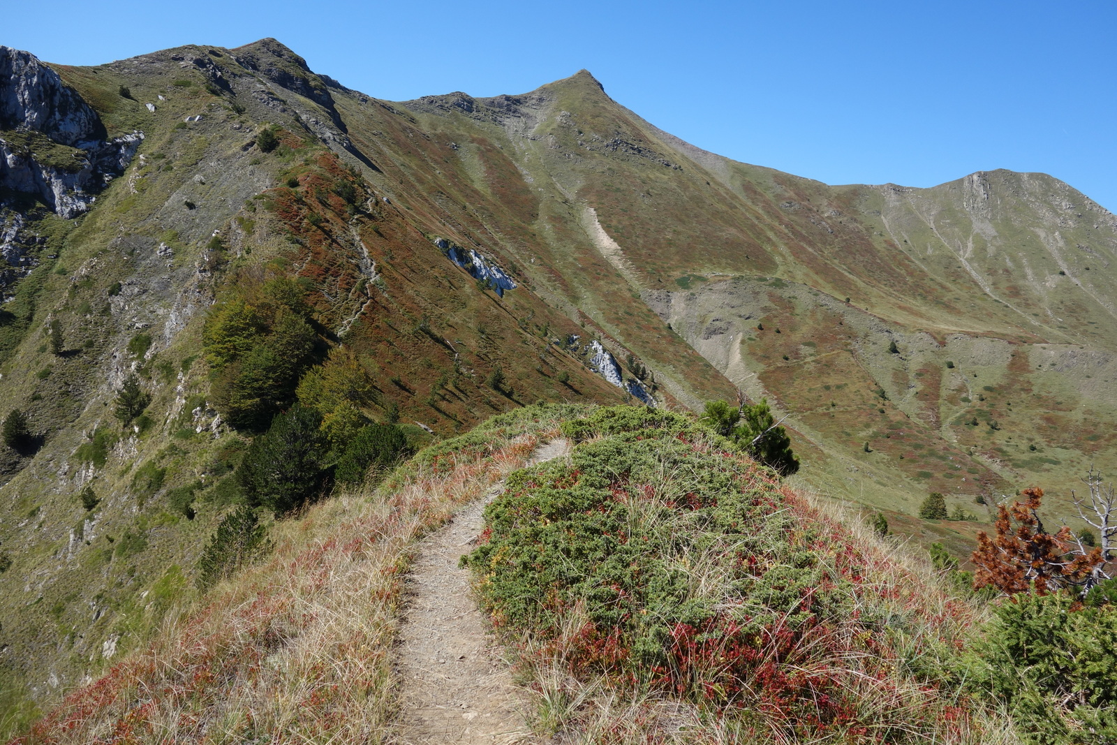
4. Volušnica–Talijanka–Popadija loop from Grebaje
Snapshot
Itinerary
The route starts in the Grebaje valley near the Branko Kotlajić mountain hut and climbs through forest and open slopes towards the Volušnica–Talijanka–Popadija ridge. Outdooractive gives 11.2 km, +1,013 m, -1,041 m, 6 hours 5 minutes, and a high point of 2,032 m. A Wikiloc loop variant gives about 10.0 km, +1,090 m, a maximum elevation of about 2,057 m, and 4 hours 51 minutes. Its notes describe a marked route from the end of the Grebaje road, the three peaks, the Albania border ridge, and a water hose on the trail.
Why it is essential
This is the compact ridge-and-viewpoint classic on the Montenegro side of the Accursed Mountains. It gives exceptional views into the Karanfili walls and the Grebaje valley without requiring a technical climb, while still feeling like a proper mountain day.
Equipment
- Sturdy boots
- Trekking poles
- Windproof layer
- Waterproof layer
- Warm layer
- Water
- Food
- Map/GPS
- Sun protection
Hazards and notes
- The ridge and summit slopes are exposed to wind and weather.
- Wet grass, mud, or lingering snow can make the upper section more serious.
- The route lies in Prokletije National Park, so a park ticket or local entry requirement may apply; current details should be checked with the park or local accommodation before departure.
GPX / KML links
| Source | URL | Format | Notes |
|---|---|---|---|
| Outdooractive route page | outdooractive.com | Interactive map; GPX / KML / FIT options shown on page | Source route found; reuse unresolved |
| Wikiloc loop route | wikiloc.com | GPX download page | Route source found; reuse unresolved |
| Alternative Wikiloc route referenced in source notes | wikiloc.com | GPX download page | Alternative route source found; reuse unresolved |
Sources
- Outdooractive — Popadija, Talijanka and Volušnica
- Wikiloc — Volušnica, Talijanka, Popadija
- Wikiloc — Popadija, Talijanka, Volušnica loop
- Wikimedia Commons image page
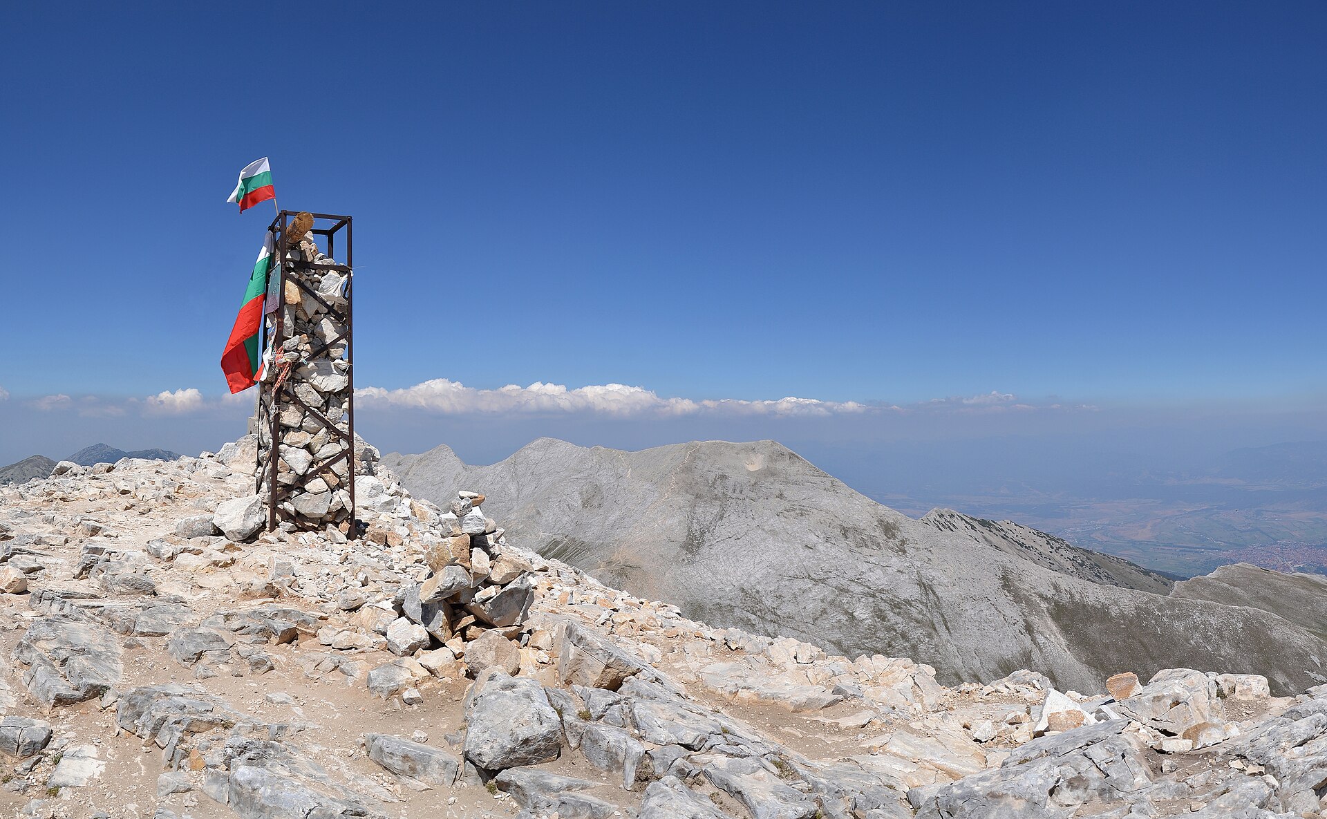
5. Babino Polje–Hrid Lake–Plav
Snapshot
Itinerary
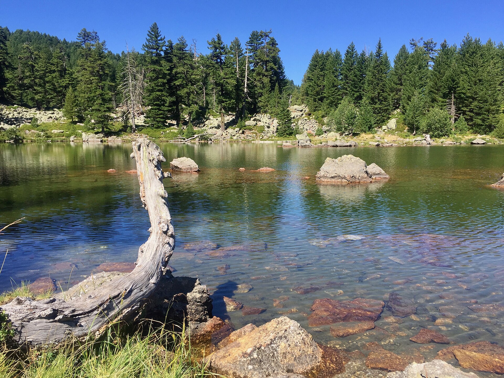
The route leaves Babino Polje and follows mountain terrain towards Hrid Lake, one of the best-known glacial lakes on the Montenegro side of the range. From the lake area the route continues across high terrain before descending towards Plav. The Peaks of the Balkans page gives 20.8 km, +640 m, -1,195 m, 7–8 hours, and a maximum elevation of 2,050 m, with a downloadable GPX. Shorter Hrid Lake day-hike variants also exist. One Wikiloc loop near Hrid Lake gives 7.1 km, +293 m, and a maximum elevation of about 2,028 m, showing that the lake can be treated either as a short lake excursion or as part of a longer Babino Polje–Plav traverse.
Why it is essential
Hrid Lake is one of the signature glacial-lake objectives in the Montenegro Prokletije. The full Babino Polje–Plav traverse adds forest, high pasture, lake scenery, and a long descent towards Plav, giving a different character from the summit and ridge hikes in the selection.
Equipment
- Sturdy boots
- Weatherproof layer
- Warm layer
- Food
- Water
- Map/GPS
- Navigation backup
- Trekking poles
- Insect repellent recommended around lakes and forest in warm periods
Hazards and notes
- This is a long point-to-point day, so transport should be arranged before departure.
- Snow can remain around higher ground early in the season.
- Navigation should not rely only on waymarks, especially in forest or poor weather.
- The route lies within the Prokletije protected-area context, so local access rules and any park-ticket requirement should be checked.
GPX / KML links
| Source | URL | Format | Notes |
|---|---|---|---|
| Peaks of the Balkans route page | peaksofthebalkans.info | Interactive route page + GPX | File found; reuse not cleared |
| Peaks of the Balkans direct GPX | peaksofthebalkans.info | GPX | Suitable as a source reference; attribution / permission unresolved |
| Wikiloc shorter Hrid Lake loop | wikiloc.com | GPX download page | Alternative route source found; reuse unresolved |
| Alternative Wikiloc Hrid Lake route | wikiloc.com | GPX download page | Alternative route source found; reuse unresolved |
Sources
- Peaks of the Balkans — Babino Polje stage
- Peaks of the Balkans route page
- Direct GPX
- Wikiloc — Hrid Lake Prokletije
- Wikiloc — Hritsko Jezero
- Wikimedia Commons image page
Region-level sources
| Source | Use | URL |
|---|---|---|
| Peaks of the Balkans route network and map | Regional network and map context | peaksofthebalkans.info |
| Peaks of the Balkans — Theth–Valbonë | Albania classic crossing | peaksofthebalkans.info |
| Outdooractive — Maja e Rosit | Albania/Montenegro border summit | outdooractive.com |
| Peaks of the Balkans — Dobërdol–Gjeravica | Kosovo high point | peaksofthebalkans.info |
| Outdooractive — Popadija, Talijanka and Volušnica | Montenegro ridge loop | outdooractive.com |
| Peaks of the Balkans — Babino Polje–Hrid Lake–Plav | Montenegro lake traverse | peaksofthebalkans.info |
| Wikimedia Commons — Valbona image | Image source | commons.wikimedia.org |
| Wikimedia Commons — Maja e Rosit image | Image source | commons.wikimedia.org |
| Wikimedia Commons — Gjeravica image | Image source | commons.wikimedia.org |
| Wikimedia Commons — Talijanka and Popadija image | Image source | commons.wikimedia.org |
| Wikimedia Commons — Peaks of the Balkans near Hrid Lake image | Image source | commons.wikimedia.org |