Regional overview
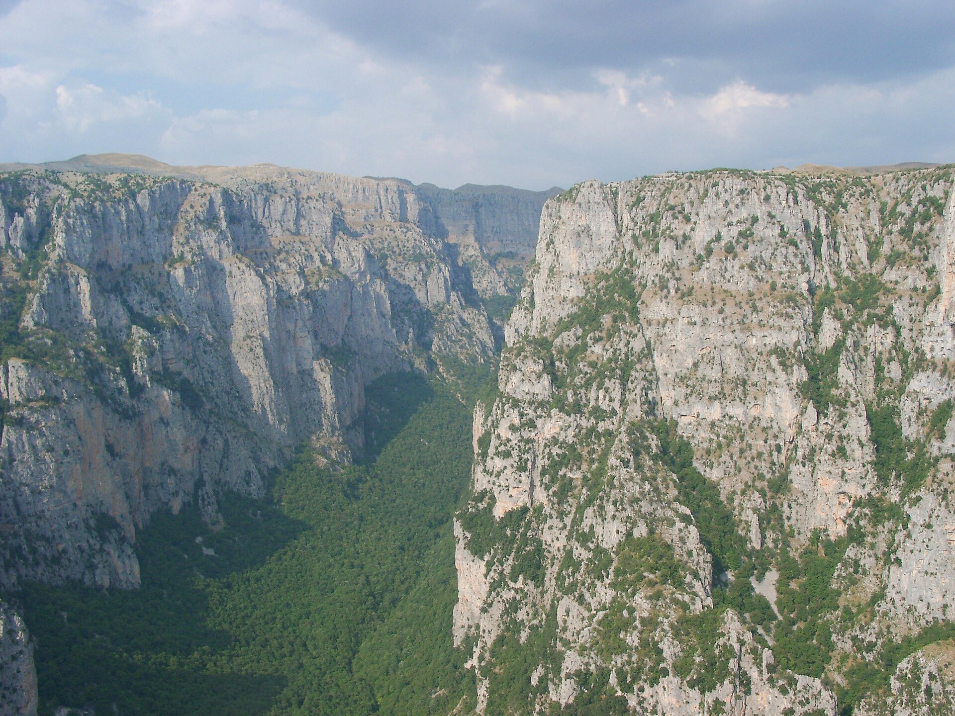
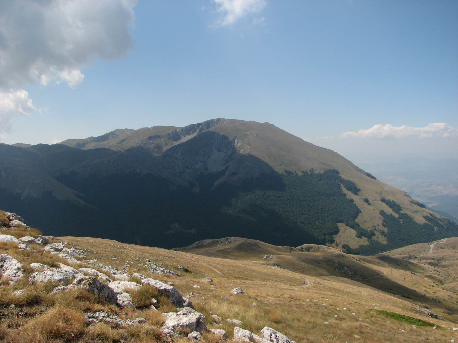
The Šar, Korab, Baba/Pelister and Galičica mountains form the core high-mountain walking areas of western and south-western North Macedonia, with routes extending to the Kosovo and Albania borders. The landscape is characterised by long grassy ridges, high pastures, glacial lakes, exposed summit crests and remote border terrain.
The principal hiking bases are Popova Šapka and Tetovo for Šar Planina, Mavrovo for Korab, Bitola / Hotel Molika for Pelister, and Ohrid or Prespa for Galičica.
The main walking season is usually late June to October. Snow can persist into early summer on the higher ridges, especially in gullies and on north-facing slopes. Navigation can be serious in mist: many routes are marked, but long grassy ridges, border-zone terrain and limited mobile signal make a map/GPS and conservative timing important.
Several hikes lie inside national parks or protected landscapes. Šar Mountain National Park includes strict protection, active management and sustainable-use zones. Galičica National Park officially lists the Galičica Pass–Magaro Peak route among its hiking trails. Pelister National Park officially lists the Big Lake–Small Lake–Pelister Peak trail segment.
Selection rationale
The five hikes were selected to represent the region’s essential high-mountain character: the highest summit of North Macedonia and Albania, the classic Šar summit of Titov Vrv, the distinctive Ljuboten pyramid in northern Šar, the Pelister summit-and-lakes circuit in Baba Mountain, and the short but iconic Magaro viewpoint between Lakes Ohrid and Prespa.
Summary table
| # | Hike | Country | Route type | Distance | Gain | Max elevation | Difficulty |
|---|---|---|---|---|---|---|---|
| 1 | Golem Korab from Strezimir / Pobeda Watchtower | North Macedonia / Albania border | Out-and-back | 16–17.2 km | +1,260–1,361 m | 2,764 m | Hard |
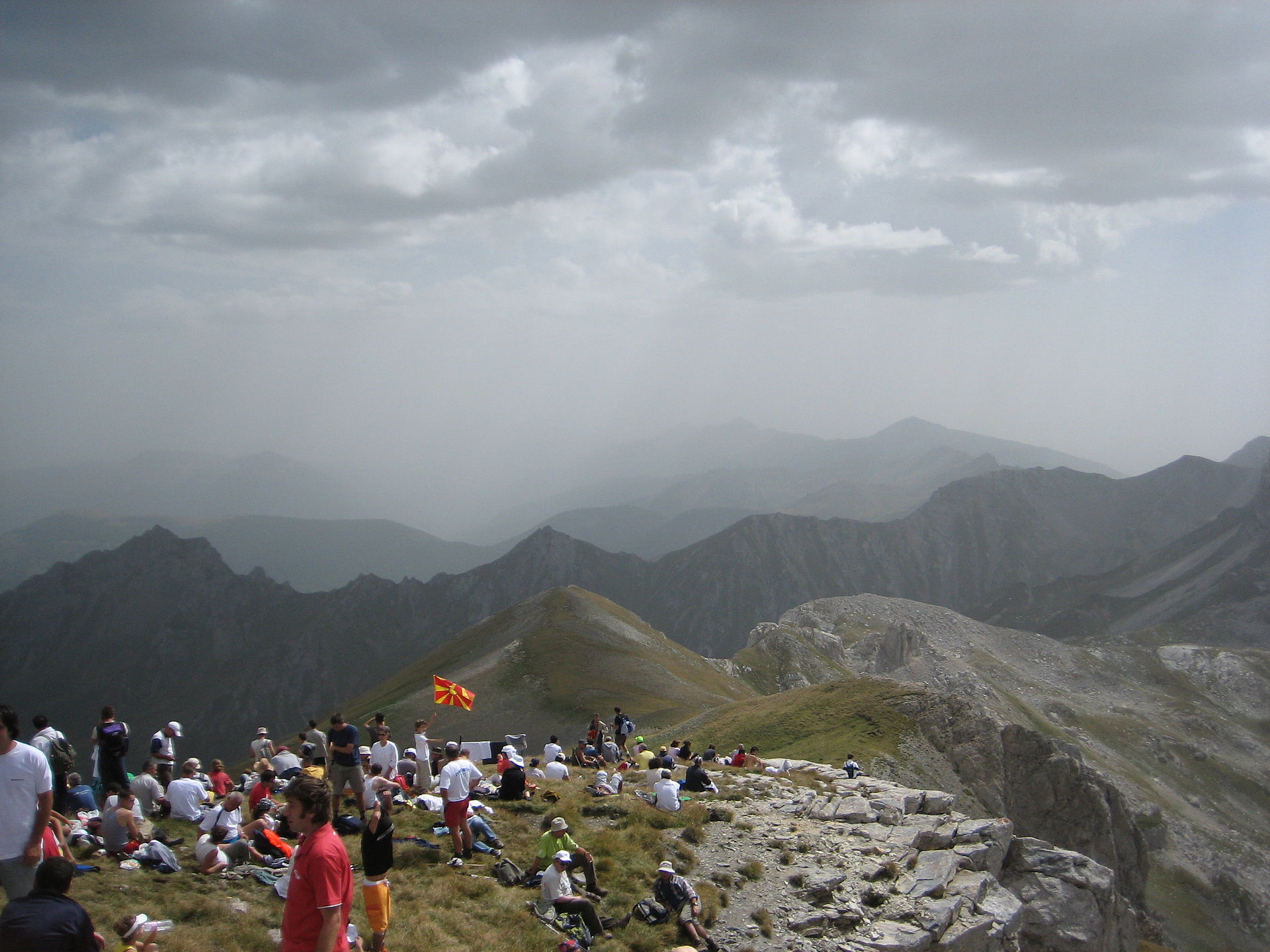
| 2 | Titov Vrv from Popova Šapka via the Šar ridge | North Macedonia | Out-and-back / ridge variant | 21–23 km | +1,130–1,577 m | 2,748 m | Hard |
| 3 | Ljuboten from Staro Selo via Mountain Hut Ljuboten | North Macedonia / Kosovo border | Out-and-back | 19–20 km | +1,585–1,645 m | 2,498 m | Hard |
| 4 | Pelister Peak and Big / Small Lakes from Hotel Molika | North Macedonia | Long loop / circuit variant | 18–19.3 km | +1,250–1,347 m | 2,601 m | Hard |
| 5 | Magaro Peak from Galičica Pass / Lipova Livada | North Macedonia | Loop / out-and-back variant | 8–8.5 km | +669–700 m | 2,244–2,255 m | Moderate |
1. Golem Korab from Strezimir / Pobeda Watchtower
Snapshot
Itinerary
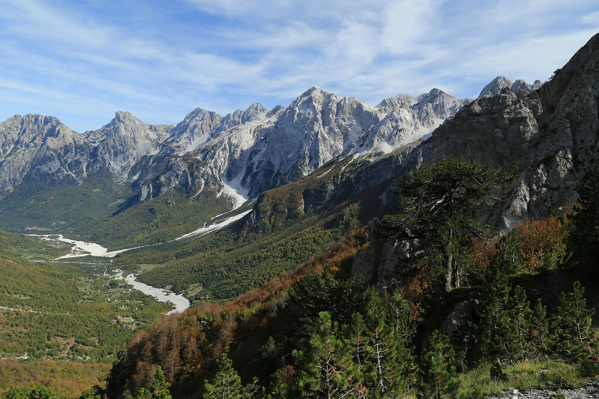
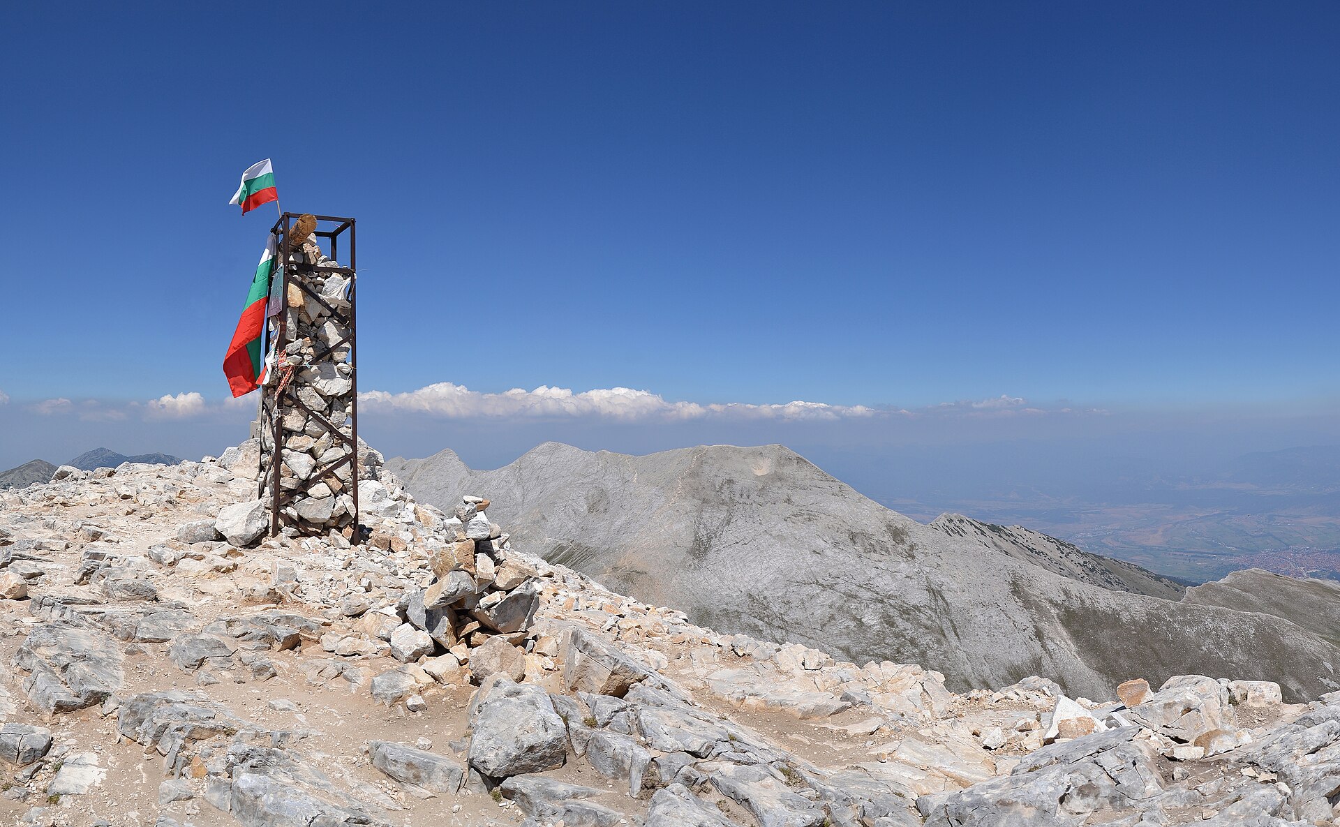
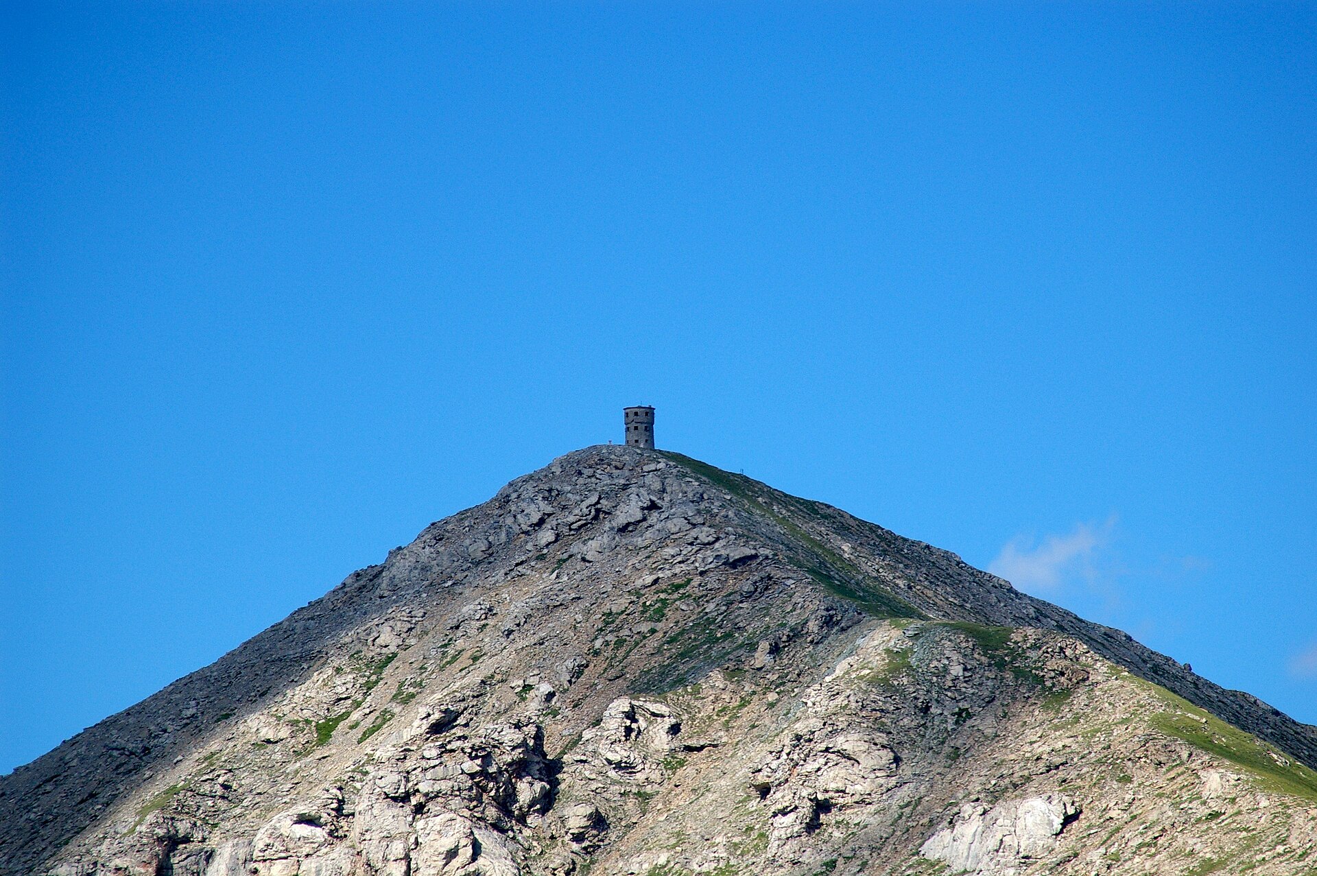
The route starts at the Pobeda border watchtower near Strezimir and climbs through remote upper Korab terrain towards the Macedonian–Albanian border crest. The path gains height steadily across open mountain slopes, with broad views towards the Korab group and neighbouring summits. The upper section reaches the high border ridge before the final climb to Golem Korab, the highest summit of both North Macedonia and Albania. The descent normally follows the same line back to the watchtower. The route is long, exposed to weather, and remote. Registration or notification with the border authorities is reported by local route sources because the trail lies in a border area.
Why it is essential
Golem Korab is the symbolic high point of the region and one of the most important mountain objectives in the western Balkans. It gives the catalogue a true high-summit day and represents the remote Korab landscape of long ridges, border crests and high pasture terrain.
Equipment
- Sturdy boots
- Trekking poles
- Warm layer
- Waterproof shell
- Sun protection
- Food
- At least 2 litres of water
- Map/GPS
- Navigation backup
- Headtorch
- ID/passport for the border zone
- Microspikes if snow remains
Hazards and notes
The route is long and remote. Local route notes warn that there is no reliable mobile signal and that winter ascents should only be undertaken with a certified guide or mountaineering club. Border-zone registration is reported by local sources and should be checked before departure. Early-season snow, thunderstorms and poor visibility can make the high ridge significantly more serious.
GPX / KML links
| Source | URL | Format | Notes |
|---|---|---|---|
| TurniMeDaKinisam route page | turnimedakinisam.mk | Source route page | Terms not resolved. Use as verification source; do not republish geometry without checking terms. |
| TurniMeDaKinisam GPX | turnimedakinisam.mk | GPX | Terms not resolved; GPX located; legal reuse unresolved. |
| Outdooractive route page | outdooractive.com | Source map / route page | Outdooractive terms apply; source route only; direct reuse unresolved. |
Further reading
- TurniMeDaKinisam — Golem Korab
- Outdooractive — North Macedonia, Mavrovo NP, Golem Korab
- Albania official tourism — Korab / Albania highest mountain
2. Titov Vrv from Popova Šapka via the Šar ridge
Snapshot
Itinerary
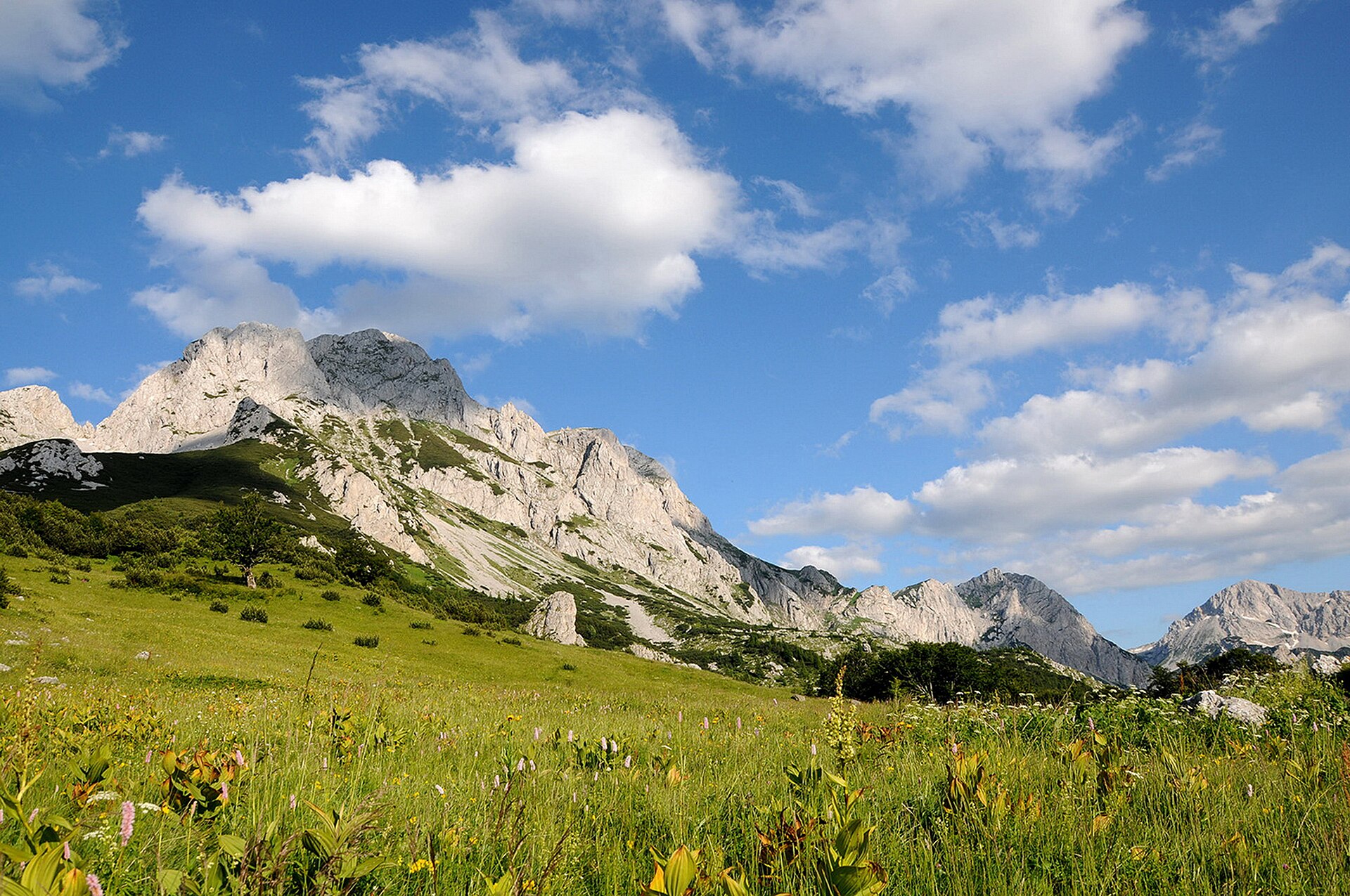
The route starts at Popova Šapka and climbs into open Šar highland terrain. Common variants follow the broad ridge system towards Titov Vrv, often passing or skirting intermediate high points such as Sin Vrv, Karabunar and Bakardan depending on the line chosen. The terrain is mostly non-technical in summer but long, exposed and demanding. The summit of Titov Vrv is one of the dominant objectives of Šar Planina. Descent is usually by the ascent route or by a ridge variant returning towards Popova Šapka. In poor visibility, the broad grassy ridges can be difficult to navigate.
Why it is essential
Titov Vrv is the classic high summit of Šar Planina and one of the most recognised mountain objectives in North Macedonia. The hike represents the long, open, high-ridge walking that defines the range.
Equipment
- Sturdy boots
- Waterproof layer
- Warm layer
- Trekking poles
- Food
- Water
- Sun protection
- Map/GPS
- Navigation backup
- Headtorch
- Microspikes if snow remains
Hazards and notes
The main hazards are length, exposure to sudden weather changes, poor-visibility navigation and lingering snow. Some ridge variants are more strenuous than the standard summer route. The route lies within the wider Šar Mountain protected area; local access and protected-area rules should be checked before departure.
GPX / KML links
| Source | URL | Format | Notes |
|---|---|---|---|
| Outdooractive route page | outdooractive.com | Source map / route page | Outdooractive terms apply; source route only; direct reuse unresolved. |
| Wikiloc route page | wikiloc.com | GPS route source | Wikiloc terms apply; download may require Wikiloc account/app; reuse unresolved. |
| My Macedonia Blog linked Wikiloc route | wikiloc.com | GPS route source | Wikiloc terms apply; source route located; reuse unresolved. |
Further reading
- Outdooractive — Visiting the Peak of Tito / Titov Vrv from Popova Šapka
- My Macedonia Blog — Popova Šapka to Titov Peak
- Macedonia Travel — To Titov Vrv summer trail
3. Ljuboten from Staro Selo via Mountain Hut Ljuboten
Snapshot
Itinerary
The route starts in Staro Selo and climbs first to Mountain Hut Ljuboten, one of the historic mountain huts of the Šar region. From the hut, the trail continues towards the upper mountain on marked terrain, gaining height towards the sharp summit pyramid of Ljuboten. The upper route becomes rockier and more exposed. Local route notes describe a narrowing ridge with steep ground on both sides before the small summit. Descent is normally by the same route, returning via the hut to Staro Selo.
Why it is essential
Ljuboten is one of the most recognisable Šar peaks, standing at the northern end of the range with a distinctive pyramid shape. The route combines a historic hut approach, classic Šar pasture terrain and a more serious summit ridge.
Equipment
- Sturdy boots
- Trekking poles
- Waterproof layer
- Warm layer
- Map/GPS
- Navigation backup
- Food
- Water
- Headtorch
- Extra warm clothing outside high summer
- Microspikes if snow remains
Hazards and notes
The hike has significant ascent and a long descent. The summit ridge is narrower and more exposed than the lower approach. Local route notes state that winter ascents should be organised with a certified guide or mountaineering club. Weather changes quickly in this part of Šar Planina, and navigation should not rely on markings alone in mist.
GPX / KML links
| Source | URL | Format | Notes |
|---|---|---|---|
| TurniMeDaKinisam route page | turnimedakinisam.mk | Source route page | Terms not resolved. Use as verification source; do not republish geometry without checking terms. |
| TurniMeDaKinisam GPX | turnimedakinisam.mk | GPX | Terms not resolved; GPX located; legal reuse unresolved. |
| Outdooractive route page | outdooractive.com | Source map / route page | Outdooractive terms apply; source route only; reuse unresolved. |
Further reading
- TurniMeDaKinisam — Staro Selo, Hut Ljuboten, Ljuboten Peak
- Outdooractive — Staro Selo to Ljuboten Peak on Šar Mountain
- Macedonia Travel — Mountain Hut Ljuboten
4. Pelister Peak and Big / Small Lakes from Hotel Molika
Snapshot
Itinerary
The longer day route starts near Hotel Molika and climbs through Pelister National Park towards the summit of Pelister. From the upper mountain, variants continue to the glacial lakes known as the Pelister Eyes: Big Lake and Small Lake. The route can be completed as a long circuit using the lake area and mountain hut sector before returning towards the Molika side. The official national park trail segment between Big Lake, Small Lake and Pelister Peak is shorter than the full Hotel Molika circuit, but it verifies the key high-level link between the lakes and summit. The full day from Hotel Molika is substantially more demanding and should be treated as a long mountain day.
Why it is essential
Pelister combines a major Balkan summit, North Macedonia’s oldest national park landscape, endemic Molika pine forest and the glacial lake scenery of Baba Mountain. It adds a south-western high-mountain objective distinct from the Šar and Korab routes.
Equipment
- Sturdy boots
- Trekking poles
- Waterproof layer
- Warm layer
- Sun protection
- Food
- Water
- Map/GPS
- Navigation backup
- Headtorch
- Microspikes if snow remains
Hazards and notes
This is a long route with a large height gain. Weather can deteriorate quickly on the exposed summit plateau. Navigation between the summit, lakes and return variants should be planned carefully, especially in mist. Water may be available in the lake / hut area, but supplies should not be assumed without local confirmation.
GPX / KML links
| Source | URL | Format | Notes |
|---|---|---|---|
| TurniMeDaKinisam route page | turnimedakinisam.mk | Source route page | Terms not resolved. Use as verification source; do not republish geometry without checking terms. |
| TurniMeDaKinisam GPX | turnimedakinisam.mk | GPX | Terms not resolved; GPX located; legal reuse unresolved. |
| Pelister National Park official trail page | park-pelister.com | Official trail segment | Official website; reuse terms not resolved. Route segment verified; no GPX found. |
Further reading
- TurniMeDaKinisam — Hotel Molika, Pelister, Small Lake, Big Lake
- Outdooractive — North Macedonia, Pelister NP, Pelister
- Pelister National Park — Big Lake, Small Lake, Peak Pelister
5. Magaro Peak from Galičica Pass / Lipova Livada
Snapshot
Itinerary
The route starts from the Galičica Pass / Lipova Livada area on the road between Lake Ohrid and Lake Prespa. It climbs from the high pass through open slopes and mountain terrain towards Magaro, the highest summit area of Galičica. The route is comparatively short, but the climb is sustained. From the upper slopes and summit area, the route gives wide views over both Lake Ohrid and Lake Prespa. The descent normally returns to the pass by the same general line or a short loop variant, depending on the chosen track.
Why it is essential
Magaro is the most compact high-mountain viewpoint in this set. It gives the classic Galičica panorama between two major Balkan lakes and provides a shorter counterpoint to the long Šar, Korab and Pelister summit days.
Equipment
- Sturdy hiking shoes or boots
- Waterproof layer
- Warm layer
- Water
- Food
- Sun protection
- Map/GPS
- Trekking poles useful on descent
- Microspikes if snow remains
Hazards and notes
The access road can be affected by snowdrifts into early summer, and one local route source advises contacting the national park in advance when snow conditions may affect access. The route is exposed to sun and wind, and the short distance should not be confused with low-mountain terrain. Carry sufficient water, as reliable water on the route was not verified.
GPX / KML links
| Source | URL | Format | Notes |
|---|---|---|---|
| Galičica National Park trail list | galicica.org.mk | Official trail listing | Official website; reuse terms not resolved. Official route existence verified; no GPX found. |
| TurniMeDaKinisam route page | turnimedakinisam.mk | Source route page | Terms not resolved. Use as verification source; do not republish geometry without checking terms. |
| TurniMeDaKinisam GPX | turnimedakinisam.mk | GPX | Terms not resolved; GPX located; legal reuse unresolved. |
| Wikiloc route page | wikiloc.com | GPS route source | Wikiloc terms apply; source route located; reuse unresolved. |
Further reading
- Galičica National Park — Hiking trails
- TurniMeDaKinisam — Galičica Pass, Magaro, view of two lakes
- Outdooractive — Magaro Peak in Galičica National Park near Ohrid
- Wikiloc — Magaro Peak in Galičica National Park near Ohrid
Further reading
| Source | URL |
|---|---|
| Šar Mountain National Park official website | sarmountain.org.mk |
| Galičica National Park official hiking trail listing | galicica.org.mk |
| Pelister National Park official trail page | park-pelister.com |
| TurniMeDaKinisam route pages and GPX downloads | turnimedakinisam.mk |
| Outdooractive route pages | outdooractive.com |
| Macedonia Travel route descriptions | macedoniatravel.com |