Regional overview
The Sierras Grandes and Champaqui area is the high mountain core of Cordoba’s extra-Andean ranges. The landscape is made of granite massifs, open Pampa de Achala grassland, high streams, tabaquillo woodland pockets, condor cliffs and the 2,770 m Cerro Champaqui, the highest summit in Cordoba.
The main hiking centres and access points are Villa Alpina, Villa Yacanto/Cerro Los Linderos, La Cumbrecita/Calamuchita, the Los Gigantes massif and Parque Nacional Quebrada del Condorito on RP 34. Conditions are more mountain-like than the Brazilian chapadas: winter snow/ice, strong wind, fog, thunderstorms and big temperature swings are all possible.
The best season for high routes is spring to autumn, roughly October to May/June, with winter possible only with current conditions and suitable equipment. Quebrada del Condorito has official registration requirements and dog restrictions; some routes or extensions require authorised guides.
Selection rationale
The selection includes the official condor-balcony route, the classic strenuous Champaqui approach, the practical road-assisted Champaqui summit option, the Los Gigantes granite loop, and a shorter waterfall route from the Calamuchita side. Together they cover condor cliffs, highest summit, granite massif, high grassland and valley-waterfall terrain.
Summary table
| # | Hike | Country | Route type | Distance | Gain | Max elevation | Difficulty |
|---|---|---|---|---|---|---|---|
| 1 | Quebrada del Condorito main trail to Balcon Norte | Argentina | Out-and-back | 10 km official / 11.9 km AllTrails | 395 m | 1,944 m | Moderate |
| 2 | Cerro Champaqui via Villa Alpina | Argentina | Out-and-back | 36.0 km | 1,783 m | 2,786 m | Hard |
| 3 | Cerro Champaqui via Cerro Los Linderos | Argentina | Road-assisted out-and-back | 2.4 km walking segment | 99 m | 2,782 m | Moderate |
| 4 | Los Gigantes / Mogote loop | Argentina | Loop | 11.7 km | 644 m | 2,334 m | Hard |
| 5 | Sendero La Cascada Grande | Argentina | Out-and-back | 5.1 km | 181 m | 758 m | Moderate |
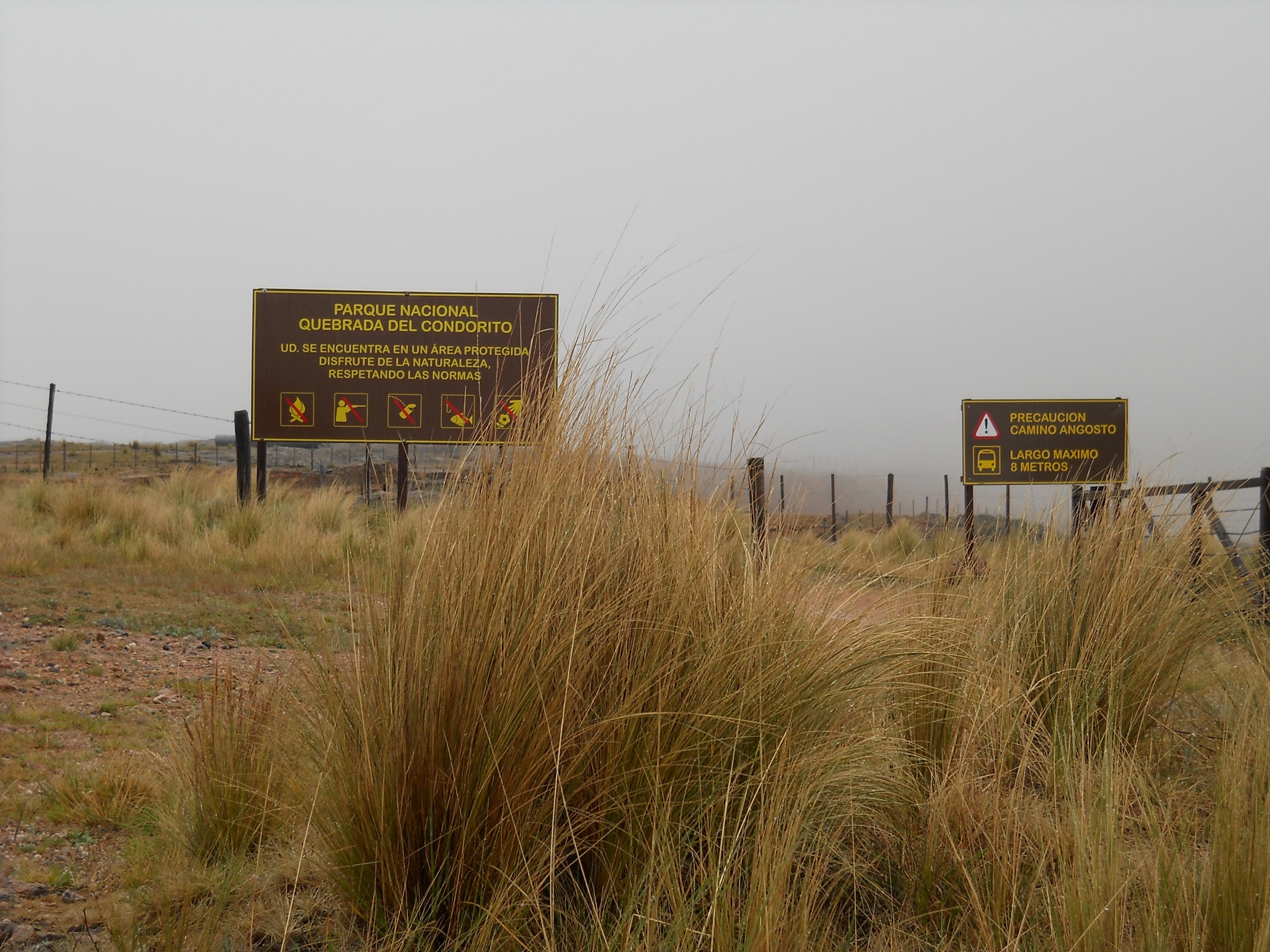
1. Quebrada del Condorito Main Trail to Balcon Norte
Snapshot
Itinerary
The official main trail starts from the park parking/visitor area and crosses high Pampa de Achala grassland toward Balcon Norte, the northern viewpoint over the Condorito gorge. The official route reaches the balcony after about 5 km; an optional descent to Rio de los Condoritos adds difficulty and time.
Why it is essential
This is the flagship protected-area hike of the Sierras Grandes: an accessible high-plateau walk to one of Argentina’s best-known condor-viewing cliffs.
Equipment
Mountain hiking equipment: sturdy boots, warm/windproof layer, waterproof layer, sun protection, water, food, navigation backup and binoculars for birdwatching.
Hazards and notes
APN requires mandatory registration for unguided visits to Balcon Norte or Rio de los Condoritos. Dogs are not allowed. Winter ice can close or make descents dangerous. Fog, lightning and strong wind are serious high-pampa hazards.
GPX / KML links
| Source | URL | Format / access | Reuse status |
|---|---|---|---|
| APN interactive protected-area map page | argentina.gob.ar | Interactive map / downloadable layers referenced | APN terms not fully assessed; official map source; route-file reuse unresolved |
| AllTrails route source | alltrails.com | Web route source | AllTrails terms; verification source only |
External links
- APN — Parque Nacional Quebrada del Condorito
- APN — Actividades
- APN — Horarios / Como llegar
- AllTrails — Sendero Quebrada del Condorito
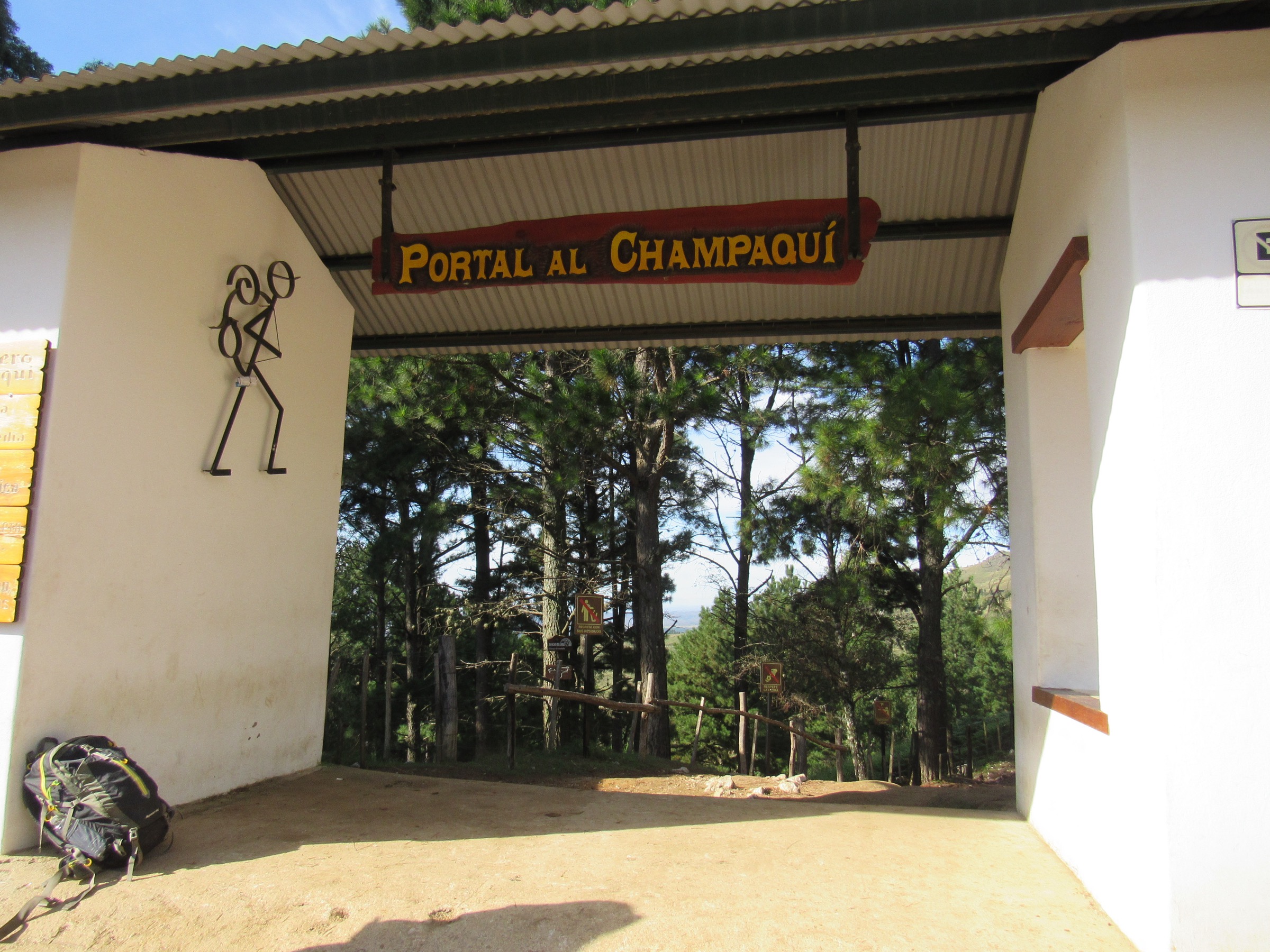
2. Cerro Champaqui via Villa Alpina
Snapshot
Itinerary
The route leaves Villa Alpina, climbs steeply through the Cuesta de la Pampilla and exits forest into the open Pampa de Achala. It continues across rocky high grassland toward the Tabaquillo/Champaqui hut area and summit zone, then returns by the same approach.
Why it is essential
This is the classic full mountain approach to Cordoba’s highest summit and the region’s most recognised strenuous hike.
Equipment
Mountain hiking equipment, sturdy boots, trekking poles, warm and waterproof layers, hat/gloves outside midsummer, headtorch, map/GPS, high water capacity and emergency margin. For lingering snow, microspikes may be required.
Hazards and notes
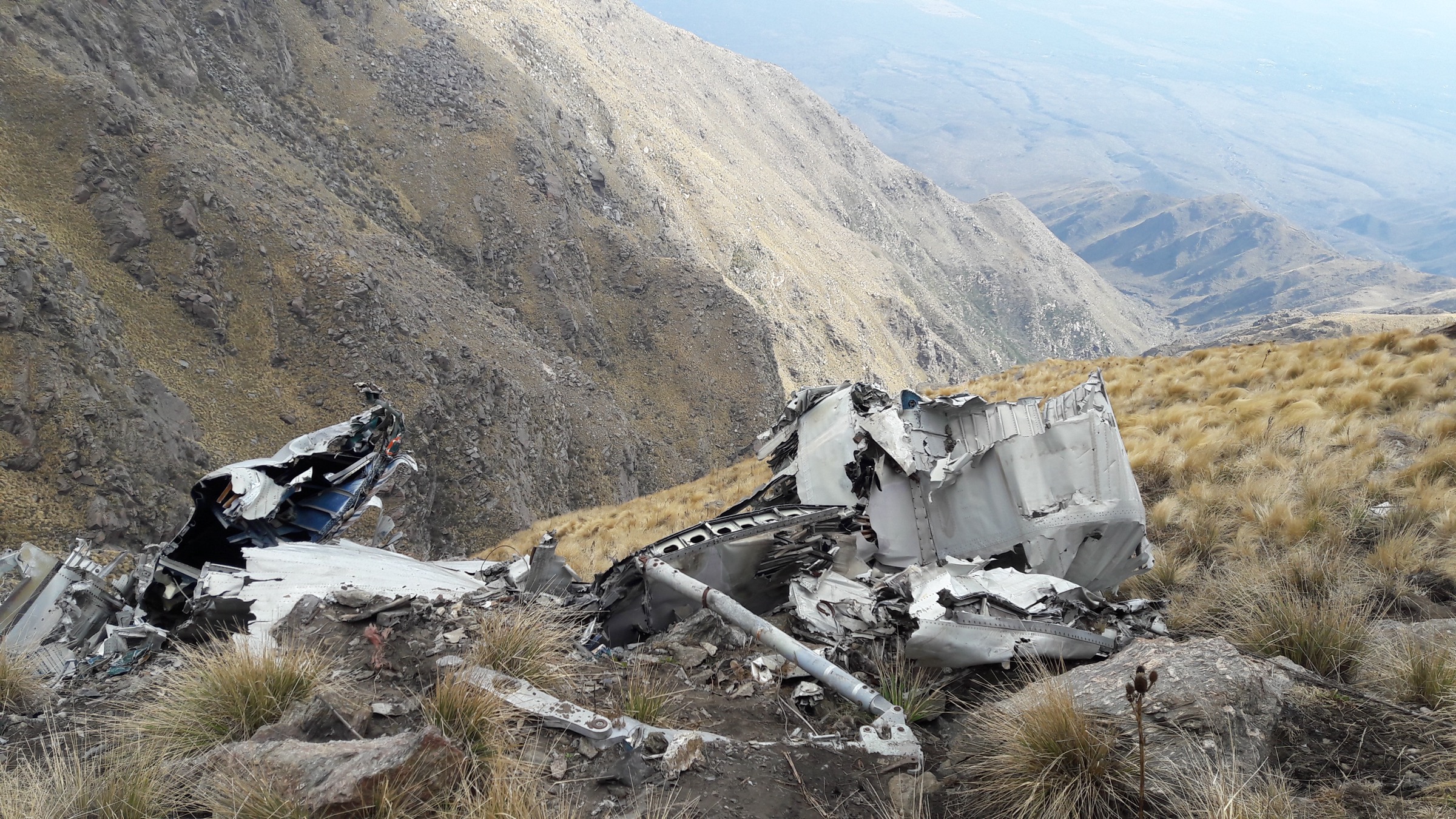
This exceeds the normal day-hike envelope and should be listed as a famous strenuous exception. Weather changes quickly; fog can make navigation difficult and winter ice/snow increases seriousness. Hut/camping logistics should be checked if not doing it as a single long day.
GPX / KML links
| Source | URL | Format / access | Reuse status |
|---|---|---|---|
| AllTrails route source | alltrails.com | Web route source | AllTrails terms; verification source only |
External links
3. Cerro Champaqui via Cerro Los Linderos
Snapshot
Itinerary
The road-assisted route starts near Cerro Los Linderos, reached by the mountain road from Villa Yacanto. From the high parking/access area, a short rocky path reaches the Champaqui summit area and returns the same way.
Why it is essential
This is the practical day-hike summit option for hikers who want Champaqui’s high point without the full Villa Alpina approach.
Equipment
Standard mountain hiking equipment, windproof/warm layer, sun protection and shoes suitable for rocky high terrain. Vehicle suitability for the access road is part of the route planning.
Hazards and notes
The walking distance is short, but the road is high, rough and weather-exposed. Do not treat it as a lowland stroll; fog, wind, cold and lightning are possible.
GPX / KML links
| Source | URL | Format / access | Reuse status |
|---|---|---|---|
| AllTrails route source | alltrails.com | Web route source | AllTrails terms; verification source only |
External links
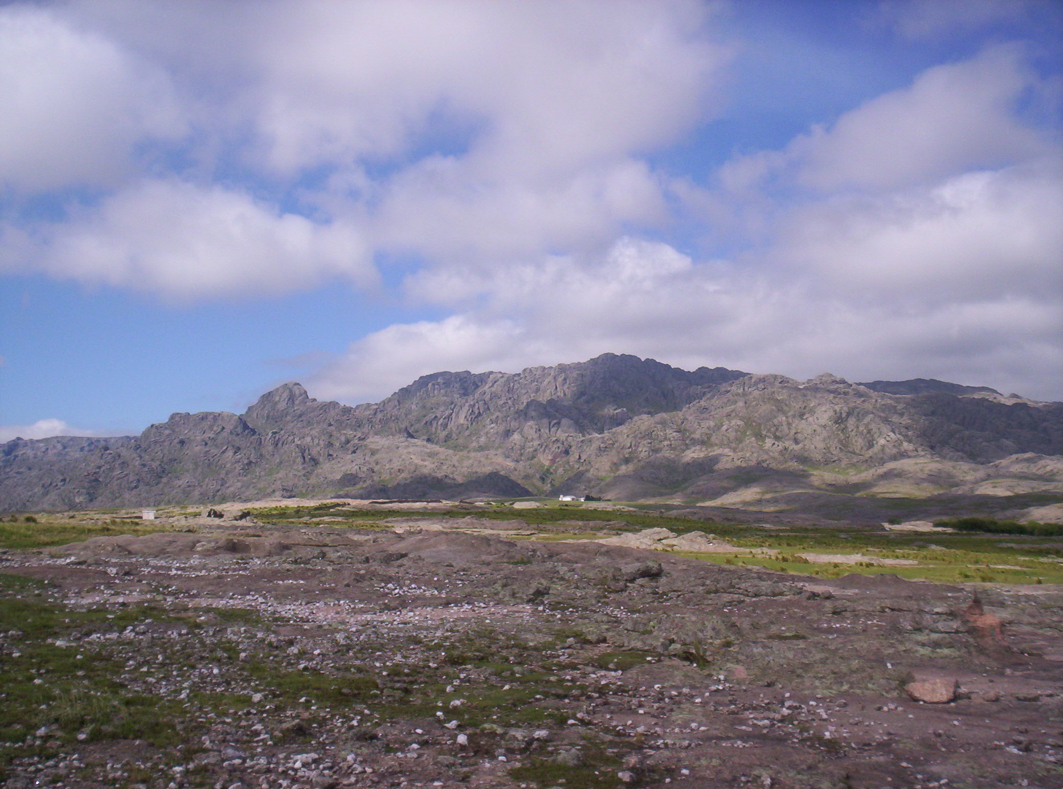
4. Los Gigantes / Mogote Loop
Snapshot
Itinerary
The loop starts from the Casas Nuevas/Los Gigantes access area and climbs through granite slabs and rocky high terrain toward the Mogote high point. Route-source notes indicate that parts have no clear marked trail and require navigation among rocks before descending to close the loop.
Why it is essential
Los Gigantes is the major granite massif of the Sierras Grandes and provides a rougher, more navigational mountain day than the official Condorito paths.
Equipment
Mountain hiking equipment, robust boots, map/GPS, warm and waterproof layers, water, food and headtorch.
Hazards and notes
Navigation, steep rock, fog, thunderstorms and limited shade are the main hazards. Carry a reliable track and avoid wet rock slabs.
GPX / KML links
| Source | URL | Format / access | Reuse status |
|---|---|---|---|
| AllTrails route source | alltrails.com | Web route source | AllTrails terms; verification source only |
External links
5. Sendero La Cascada Grande
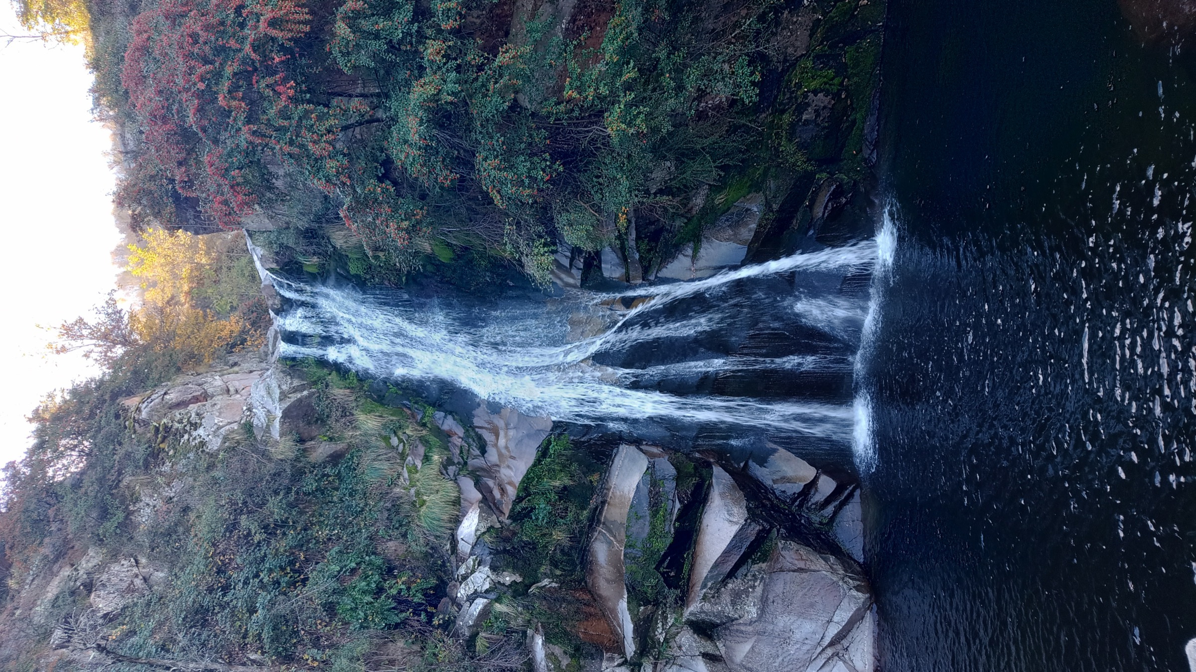
Snapshot
Itinerary
The route climbs from the La Cascada reserve/access area toward Cascada Grande, crossing rocky or muddy sections and small streams depending on conditions, then returns the same way.
Why it is essential
This shorter waterfall route balances the high mountain entries with a lower Calamuchita-side hike suitable for a lighter day.
Equipment
Standard hiking equipment, shoes with grip, water, sun protection and a waterproof layer if storms are possible.
Hazards and notes
Stream crossings, mud, fallen branches and slippery rock may occur. Confirm local reserve access and fees.
GPX / KML links
| Source | URL | Format / access | Reuse status |
|---|---|---|---|
| AllTrails route source | alltrails.com | Web route source | AllTrails terms; verification source only |
External links
Missing data / follow-up work
- Official GPX/KML for Champaqui, Los Gigantes and Cascada Grande was not found; route-source links are trail-database pages.
- Villa Alpina to Champaqui is a strenuous exception, commonly multi-day; publication should decide whether to keep it as a day-hike exception or replace it with a shorter variant.
- Current registration, guide rules, road condition and winter snow/ice status need local confirmation before departure.
External links
| Source | URL |
|---|---|
| APN — Parque Nacional Quebrada del Condorito | argentina.gob.ar |
| APN — Actividades | argentina.gob.ar |
| APN — Horarios / Como llegar | argentina.gob.ar |
| APN — Mapa del area protegida | argentina.gob.ar |
| AllTrails — Sendero Quebrada del Condorito | alltrails.com |
| AllTrails — Cerro Champaqui via Villa Alpina | alltrails.com |
| AllTrails — Cerro Champaqui via Cerro Los Linderos | alltrails.com |
| AllTrails — Los Gigantes Hill | alltrails.com |
| AllTrails — Sendero La Cascada Grande | alltrails.com |
| Cerro Champaqui | en.wikipedia.org |
| Los Gigantes | es.wikipedia.org |