Regional overview
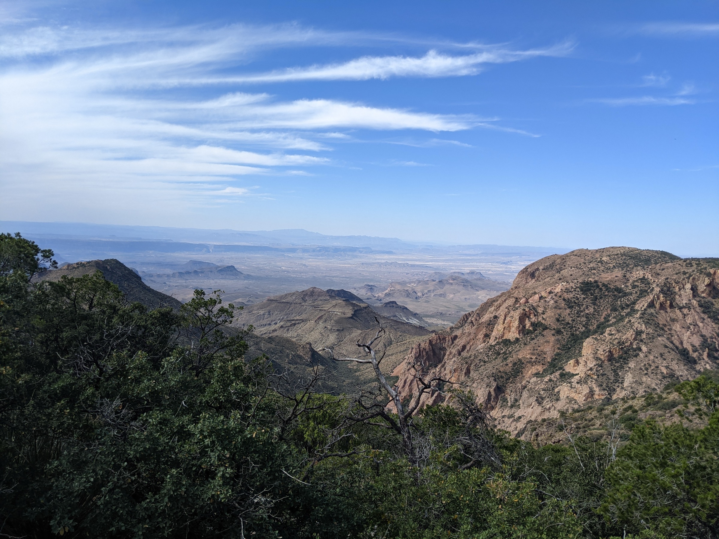
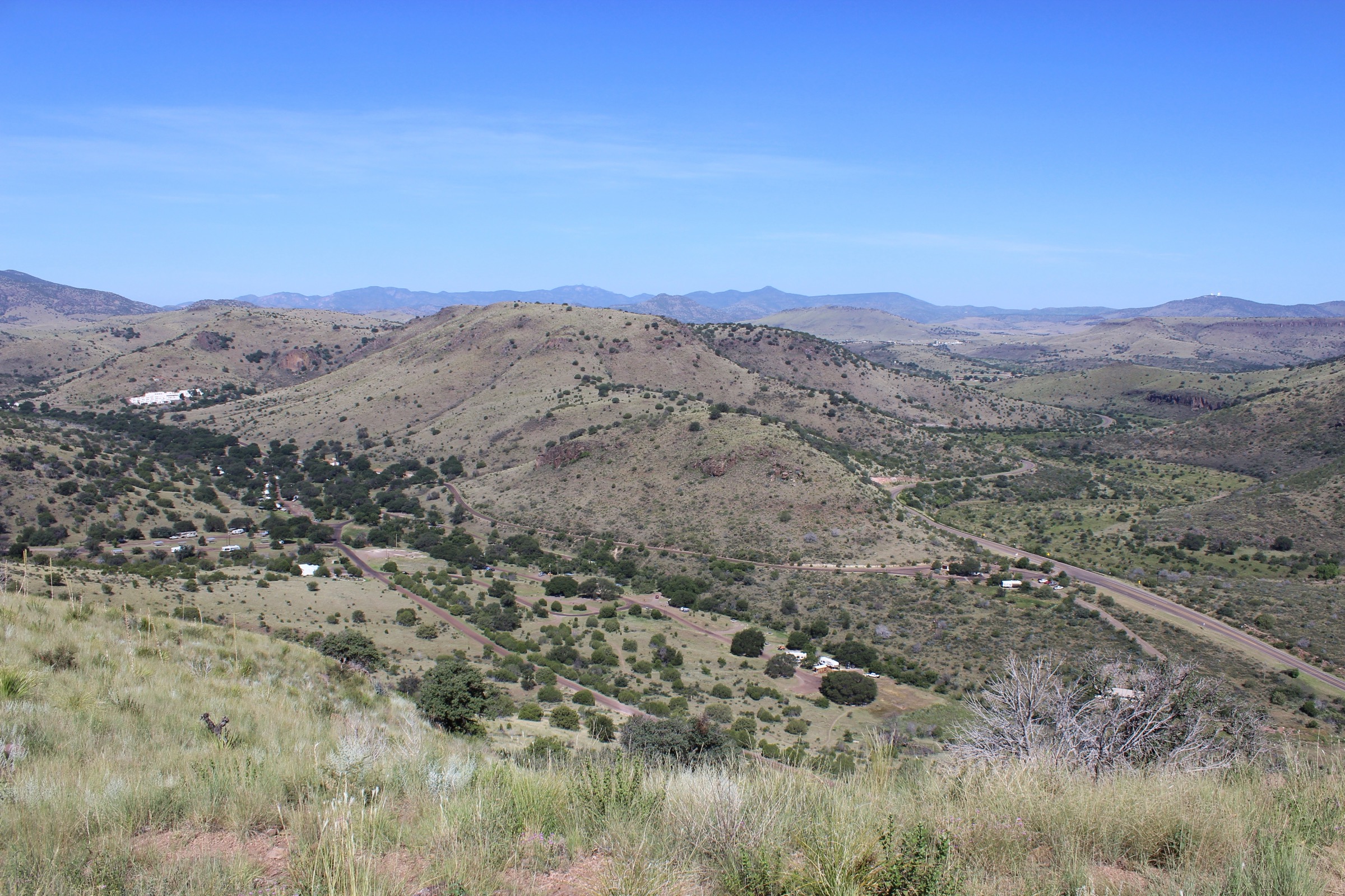
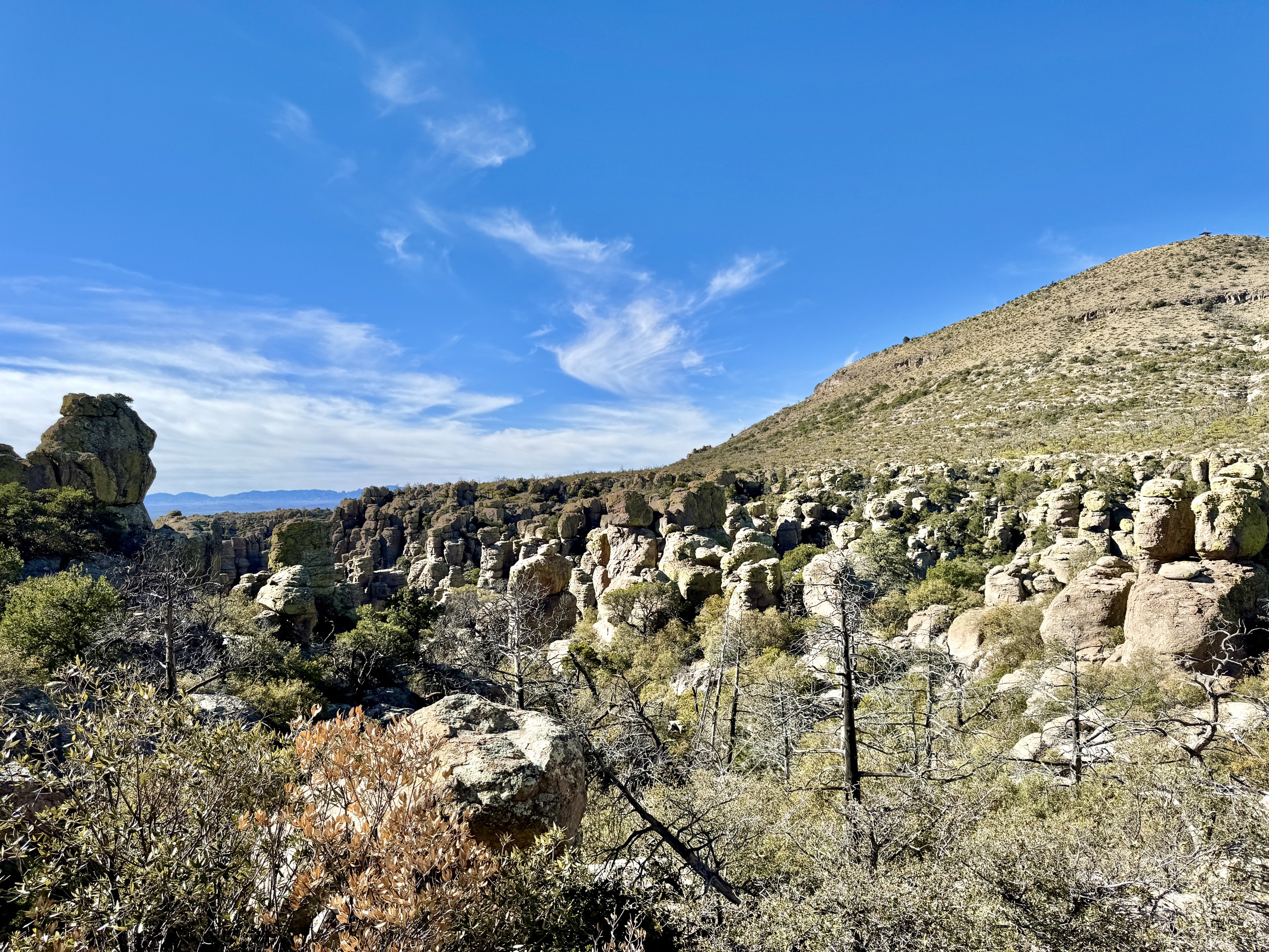
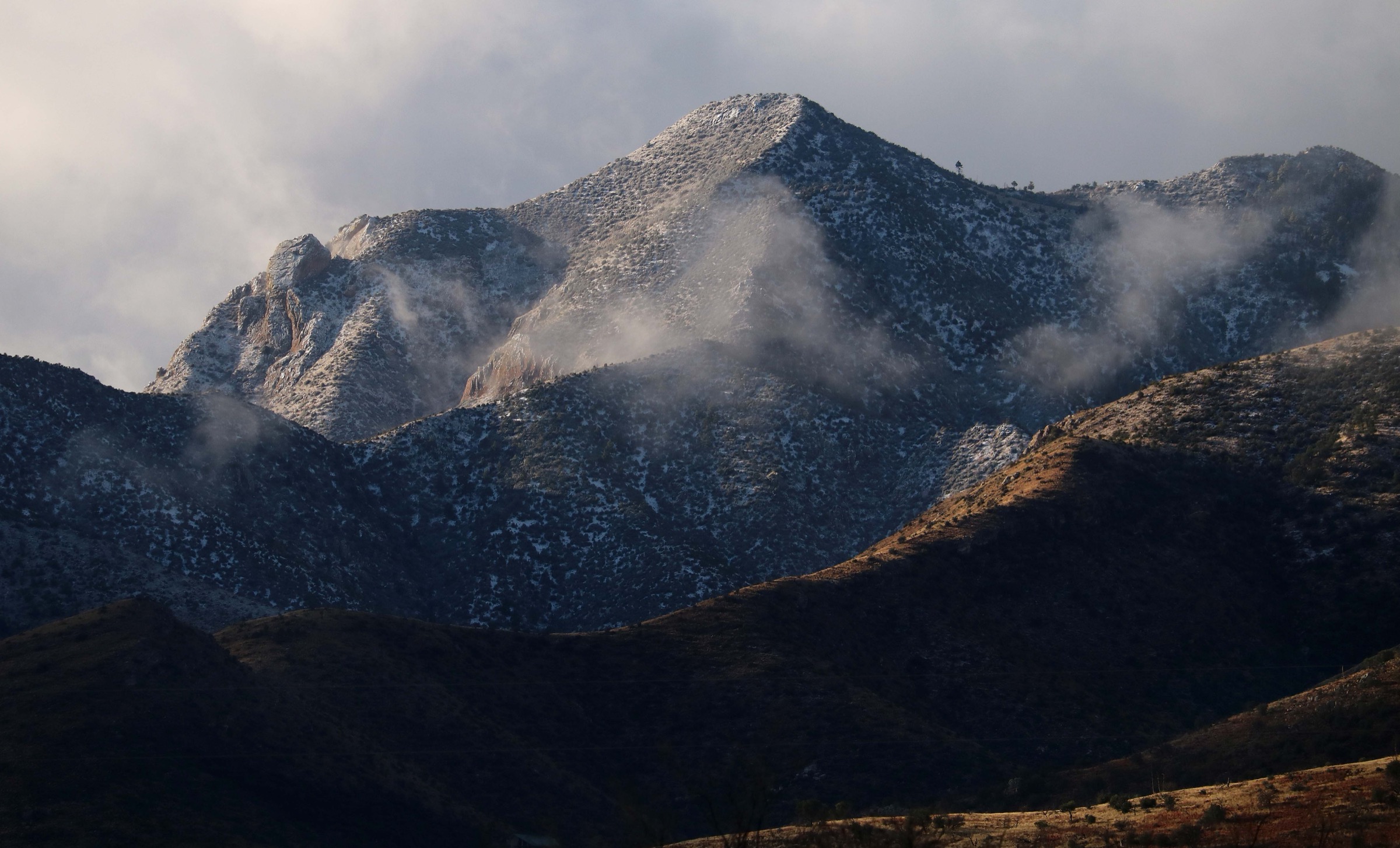
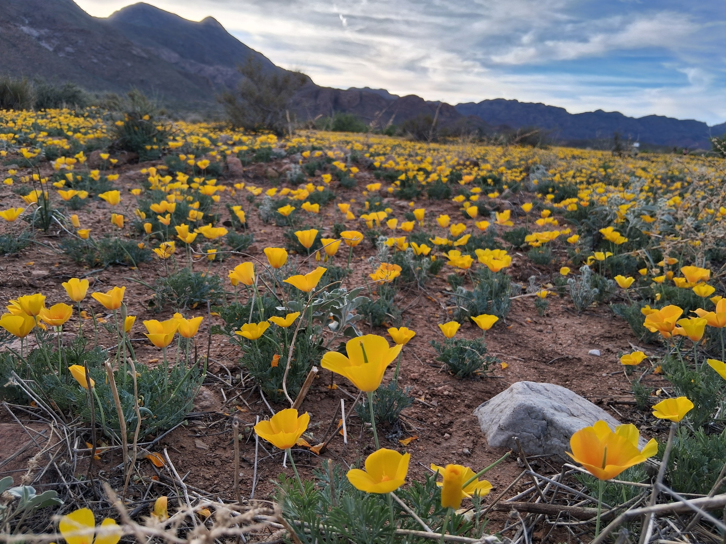
The Franklin Mountains are a steep, north–south desert range that rises directly out of El Paso, Texas, and continues over the New Mexico line as the southern end of the Organ / Franklin Mountains chain. Almost the entire Texas side of the range sits within Franklin Mountains State Park — at roughly 27,000 acres one of the largest urban wilderness parks in the United States — and the range’s high point, North Franklin Mountain (2,192 m / 7,192 ft), stands directly above the city. The rock is largely Precambrian and Palaeozoic — granite, gneiss, limestone and sandstone tilted into steep, ridge-and-canyon terrain — and the vegetation is classic Chihuahuan Desert: creosote, sotol, ocotillo, prickly pear and, in the higher canyons, small stands of oak and juniper.
Trail access is concentrated in four corridors. The Tom Mays Unit on the west side, off Transmountain Road (Loop 375), is the main day-use hub and reaches the Mundy’s Gap, North Franklin Peak, Aztec Caves and West Cottonwood Spring approaches. McKelligon Canyon on the east side is the historic canyon access and the eastern end of the Ron Coleman Trail. The Smugglers Pass / Ron Coleman trailhead sits near the crest of Transmountain Road and gives the shortest access to the ridge traverse. The Northeast Unit, off US-54, opens the Chuck Heinrich and lower northern approaches. Texas Parks and Wildlife (TPWD) publish a park map PDF and the range appears on the department’s statewide trails KMZ; both are the authoritative sources for distance and geometry, and neither publishes complete elevation-gain tables for individual routes.
The reliable snow-free walking season is effectively year-round, but the practical hiking season is late October to April. Summer daytime temperatures on the exposed slopes routinely exceed 38 °C / 100 °F; TPWD advise carrying at least a gallon (3.8 L) of water per person on longer routes, starting at dawn and turning back well before heat becomes dangerous. The range holds no reliable surface water; the “springs” on the map should not be relied on as sources. Afternoon thunderstorms and lightning are possible from mid-summer into September and are the main lightning risk on the exposed ridgelines. The state park regularly reaches day-use capacity on cool-weather weekends, and TPWD recommend checking current alerts and reservation status before travel.
Selection rationale
The five walks below cover the main day-hike faces of the Franklin Mountains. North Franklin Peak is the range high point — the essential long day from Tom Mays. The Ron Coleman Trail is the dramatic ridge traverse between Smugglers Pass and McKelligon Canyon. Aztec Caves is the range’s best short objective, a quick climb to a distinctive rhyolite alcove. Mundy’s Gap is the classic interior pass climb and the natural half-day companion to the North Franklin summit. West Cottonwood Spring closes the selection with a lower, natural-history-focused scenic route. Anthony’s Nose and the northern Chuck Heinrich loops were considered but sit better with the Northeast Unit side of the park and were left off this day-hike shortlist. North–south crest through-hikes were excluded because they are shuttle backpacks rather than day-hikes.
Summary table
| # | Hike | Country | Route type | Distance | Gain | Max elevation | Difficulty |
|---|---|---|---|---|---|---|---|
| 1 | North Franklin Peak via Mundy’s Gap | USA | Out-and-back | ~12.6 km | ~625 m | 2,192 m | Strenuous |
| 2 | Ron Coleman Trail (Smugglers Pass ↔ McKelligon) | USA | Point-to-point | ~6.0 km one-way | ~485 m | ~1,780 m | Strenuous |
| 3 | Aztec Caves Trail | USA | Out-and-back | ~3.1 km | ~200 m | ~1,780 m | Moderate–strenuous |
| 4 | Mundy’s Gap Trail | USA | Out-and-back | ~6.4 km | ~335 m | ~1,890 m | Moderate–strenuous |
| 5 | West Cottonwood Spring Scenic Route | USA | Loop / out-and-back | ~4.7 km | ~140 m | ~1,675 m | Easy–moderate |
1. North Franklin Peak via Mundy’s Gap
Snapshot
Itinerary
From the Tom Mays Unit the route follows the desert bajada into the range on the Mundy’s Gap Trail, climbing steadily on rocky tread through creosote, sotol and ocotillo. At Mundy’s Gap — a broad pass on the north–south crest at roughly 1,890 m — the route turns north onto the North Franklin Peak Trail and climbs open, exposed slopes and short rocky steps to the summit at 2,192 m. The high point is marked by antenna infrastructure and gives the range’s fullest panorama: south over central El Paso and the Rio Grande valley, east across the Hueco Bolson and the Hueco Mountains, west into New Mexico and, on clear winter days, north to the Sacramento and Organ ranges. Descent reverses the route.
Why it is essential
North Franklin Peak is the range high point and the park’s defining summit hike — the essential long day for a fit walker in the Franklins. It is the only route in the selection that combines the interior-pass climb with a full alpine-style desert summit finish, and it delivers the range’s most complete panorama in a single day.
Equipment
- Sturdy trail shoes or light hiking boots — the tread is rocky throughout
- Trekking poles for the descent
- 4 L water minimum and additional in warm weather — no reliable water on route
- Sun hat, high-SPF sunscreen and sunglasses — full exposure for most of the day
- Wind and rain shell plus a light warm layer for the summit
- Salty snacks and food for a long day
- Offline map and GPS — junction awareness at Mundy’s Gap and on the summit ridge
- Headtorch for delays
Hazards and notes
- Heat is the primary hazard; TPWD recommend at least a gallon (3.8 L) of water per person and dawn starts when temperatures are high.
- Fully exposed rocky ridge above Mundy’s Gap — lightning is a real risk if afternoon storms build; turn back if convection develops.
- No reliable water on route; “spring” symbols on the park map should not be trusted.
- Steep, loose sections on the summit approach — take care on the descent.
- Rattlesnakes are active in warm months; watch tread and hand-placement on the summit ridge.
- Day-use capacity is regularly reached at Tom Mays on cool-weather weekends; check current TPWD reservation status.
GPX / route file
| Source | URL | Format | Notes |
|---|---|---|---|
| TPWD — Franklin Mountains State Park map | tpwd.texas.gov | Official PDF | Authoritative distance and geometry; reuse terms unresolved |
| TPWD — statewide trails KMZ | tpwd.texas.gov | KMZ / KML | Route segments available for planning; reuse terms unresolved |
Sources
- TPWD — Franklin Mountains State Park
- TPWD — Franklin Mountains map and access
- TPWD — Franklin Mountains park map PDF
2. Ron Coleman Trail (Smugglers Pass ↔ McKelligon)
Snapshot
Itinerary
The traverse links the Smugglers Pass / Ron Coleman trailhead near the crest of Transmountain Road with McKelligon Canyon on the east side of the range. From Smugglers Pass the route climbs onto the crest, threads a series of rocky ridge sections and rock outcrops, and drops on steep, loose ground into the upper McKelligon Canyon drainage before finishing at the canyon trailhead. The traverse is considered by locals to be the range’s most exciting single-day route: not long by distance, but with sustained rocky ground, short scrambly steps and full exposure to sun and lightning. Route direction matters — a Smugglers-to-McKelligon traverse loses net elevation and is the more common choice.
Why it is essential
The Ron Coleman Trail is the Franklin Mountains’ signature ridge day — the range’s most dramatic short traverse, combining rugged crest terrain and close views over El Paso in a route that most parties describe as tougher than its 6 km one-way suggests. It is the natural summit-alternative day for parties who want a bigger sense of the range without the distance of the North Franklin Peak round-trip.
Equipment
- Grippy trail shoes or light approach shoes — the tread is rock-heavy
- Trekking poles for the steep descent
- Lightweight gloves for hand-placement on rock sections
- 3–4 L water — no reliable water on the ridge
- Sun hat, high-SPF sunscreen and sunglasses
- Wind and rain shell
- Offline map and GPS with route loaded
- Headtorch if the out-and-back is attempted
- Shuttle plan or second vehicle for the point-to-point
Hazards and notes
- Route is more serious than its length suggests — sustained rocky terrain and short scrambly sections.
- Reports of chain-assisted or exposed rock passages on the ridge circulate widely but are not confirmed in the checked TPWD sources; verify current route condition with the park.
- Lightning on the exposed ridge from mid-summer through September.
- Heat, loose footing and route-finding are the main non-technical hazards.
- Shuttle logistics — arrange transport at both trailheads before setting out.
- Rattlesnakes active in warm months.
GPX / route file
| Source | URL | Format | Notes |
|---|---|---|---|
| TPWD — Franklin Mountains map / access | tpwd.texas.gov | Web page | Official access points |
| TPWD — statewide trails KMZ | tpwd.texas.gov | KMZ / KML | Ron Coleman segment available; reuse terms unresolved |
Sources
3. Aztec Caves Trail
Snapshot
Itinerary
From the Tom Mays Unit the trail climbs sharply out of the desert bajada toward a line of pale cliffs at the base of the west face of the range. The tread is rocky and steep for its short length. The Aztec Caves themselves are a pair of wide, shallow rhyolite alcoves — not true caves — set into the cliff, with views back out over the Tom Mays basin, the western foothills and the Rio Grande valley. Return is on the same route.
Why it is essential
Aztec Caves is the best short objective hike in the Franklin Mountains: a quick climb to a distinctive geologic feature with a broad, expressive view over the Tom Mays basin. It is the natural warm-up day, family-friendly option, or short evening walk from El Paso.
Equipment
- Sturdy trail shoes or light boots
- Trekking poles helpful on the descent
- 1.5–2 L water per person
- Sun hat, high-SPF sunscreen and sunglasses
- Light snack or lunch to eat at the caves
- Simple offline map — the trail is short but junctions exist near the caves
Hazards and notes
- Steep, rocky steps despite the short distance — take care descending.
- Loose rock and short overhang sections near the alcoves; keep clear of loose material overhead and below.
- Do not enter or climb on the cave walls beyond the marked trail — stay on designated tread.
- Rattlesnakes and heat in warm months.
- Do not rely on the caves for shelter in storms: they are shallow alcoves, not true caves, and lightning risk on the surrounding rock is still real.
GPX / route file
| Source | URL | Format | Notes |
|---|---|---|---|
| TPWD — Franklin Mountains State Park map | tpwd.texas.gov | Official PDF | Authoritative distance and geometry |
| TPWD — statewide trails KMZ | tpwd.texas.gov | KMZ / KML | Trail segments available; reuse terms unresolved |
Sources
4. Mundy’s Gap Trail
Snapshot
Itinerary
From the Tom Mays Unit the route climbs steadily into the interior of the range on the Mundy’s Gap Trail, following the natural line up the west-side bajada and into a broad, rocky pass on the north–south crest. The gap itself is the natural turnaround for a day-hike entry: parties who continue north gain the North Franklin Peak route (see hike 1) and parties who turn south drop into the crest network toward the south-central park. Views from the pass open north and south along the crest and east across the range. Return is on the same route.
Why it is essential
Mundy’s Gap is the Franklin Mountains’ classic interior pass hike — shorter and less committing than the North Franklin summit, but still delivering the real feel of the range’s steep desert relief and its north–south crest architecture. It is the natural half-day companion to a Tom Mays trip and the best sampling of the summit route for parties not ready for the full day.
Equipment
- Sturdy trail shoes or light boots
- Trekking poles for the descent
- 2.5–3 L water — no reliable water on route
- Sun hat, high-SPF sunscreen and sunglasses
- Wind shell for the pass
- Offline map — junctions on the crest side of the pass
Hazards and notes
- Rocky, sometimes loose tread — take care on the descent.
- Heat and full sun exposure on the climb — start early in warm months.
- Junction awareness at the pass — this route connects to the North Franklin Peak Trail and to the south-crest network; verify direction before returning.
- Lightning on the pass in convective weather; retreat below the crest if storms build.
- Rattlesnakes active in warm months.
GPX / route file
| Source | URL | Format | Notes |
|---|---|---|---|
| TPWD — Franklin Mountains State Park map | tpwd.texas.gov | Official PDF | Authoritative distance and geometry |
| TPWD — statewide trails KMZ | tpwd.texas.gov | KMZ / KML | Mundy’s Gap segment available; reuse terms unresolved |
Sources
5. West Cottonwood Spring Scenic Route
Snapshot
Itinerary
From the Tom Mays Unit the route follows the West Cottonwood Spring trail and its scenic variant through lower west-side bajada terrain. The line samples the park’s Chihuahuan Desert vegetation — creosote, sotol, ocotillo, prickly pear and cholla — climbs gently along rocky slopes past the spring’s canyon environment, and returns to the trailhead. The spring itself is a seasonal seep, not a reliable water source, but its surrounding vegetation and the small canyon it drains are the natural-history highlight of the day.
Why it is essential
West Cottonwood Spring adds a lower, natural-history-focused route to the Franklin Mountains selection — balancing the summit, ridge, cave and pass hikes with a shorter desert-spring objective. It is the best walk in the selection for a slower day, a family group, or a first-visit orientation to the range’s Chihuahuan Desert character.
Equipment
- Trail shoes or light boots
- 1.5–2 L water per person
- Sun hat, high-SPF sunscreen and sunglasses
- Light snack
- Simple offline map — the scenic variant has several junctions
Hazards and notes
- Do not rely on the spring as a water source — it is seasonal and not potable.
- Heat, rocky tread and limited shade are the main issues; this is still a real desert route in summer.
- Rattlesnakes active in warm months.
- Stay on designated trails to protect fragile bajada vegetation.
- Check current TPWD day-use access before travel.
GPX / route file
| Source | URL | Format | Notes |
|---|---|---|---|
| TPWD — Franklin Mountains State Park map | tpwd.texas.gov | Official PDF | Authoritative distance and geometry |
| TPWD — statewide trails KMZ | tpwd.texas.gov | KMZ / KML | West Cottonwood Spring segments available; reuse terms unresolved |
Sources
Routes excluded as out of scope
The following sit inside or adjacent to the Franklin Mountains but fall outside a day-hike entry or are better treated in a neighbouring catalogue.
- Anthony’s Nose and Chuck Heinrich (Northeast Unit). Solid day-hikes on the northern end of the range, but sit better with a dedicated Northeast Unit shortlist rather than the west-side Tom Mays / crest selection above.
- North–south crest through-hikes. A full traverse of the park is a shuttle backpack, not a day-hike, and requires overnight bivouac planning.
- Cerro de Cristo Rey. A prominent hill on the Texas–New Mexico–Mexico borderland immediately west of the Franklins with its own summit trail, but outside Franklin Mountains State Park and not on the range’s crest.
- Franklin Mountains northern extension (Organ Mountains, New Mexico). The chain continues north into New Mexico as the Organ Mountains but under different management (BLM / Organ Mountains-Desert Peaks National Monument) — treated in its own catalogue.
- Museum Trail and short interpretive walks. Enjoyable park orientation but too short and low-relief to carry the “essential day-hike” bracket on their own.
Further reading
| Source | URL |
|---|---|
| TPWD — Franklin Mountains State Park | tpwd.texas.gov |
| TPWD — Franklin Mountains map and access | tpwd.texas.gov |
| TPWD — Franklin Mountains park map PDF | tpwd.texas.gov |
| TPWD — Use the trails maps anytime, anywhere | tpwd.texas.gov |
| TPWD — statewide trails KMZ | tpwd.texas.gov |
| Storm — Chisos Mountains, Big Bend | /guidebooks/usa-southwest-mountains-and-sky-islands-west-texas-mountains-chisos-mountains-essential-day-hikes |
| Storm — Huachuca Mountains, Arizona Sky Islands | /guidebooks/usa-southwest-mountains-and-sky-islands-arizona-sky-islands-huachuca-mountains-essential-day-hikes |
| Storm — Chiricahua Mountains, Arizona Sky Islands | /guidebooks/usa-southwest-mountains-and-sky-islands-arizona-sky-islands-chiricahua-mountains-essential-day-hikes |
| Wikipedia — Franklin Mountains (Texas) | en.wikipedia.org |
| Wikipedia — Franklin Mountains State Park | en.wikipedia.org |
| Wikipedia — North Franklin Mountain | en.wikipedia.org |
Missing data / follow-up work
- TPWD reuse terms for the statewide trails KMZ and the Franklin Mountains park map remain unresolved; the geometry is authoritative for planning but direct republication should be treated cautiously until terms are confirmed.
- TPWD do not publish complete ascent/descent tables for the individual Franklin routes; the elevation-gain figures given above are estimates and should be replaced with GIS-measured values before publication for wider distribution.
- No licence-compatible route-specific photographs of Aztec Caves, Mundy’s Gap or West Cottonwood Spring were located in this pass beyond general range and access-context images; further Wikimedia Commons searches on named features may turn up usable images over time.
- Reports of chain-assisted or exposed rock passages on the Ron Coleman Trail are not confirmed in the checked TPWD sources; verify current route condition and any technical grading with the park before travel.
- Current TPWD alerts, day-use capacity and reservation status should be rechecked immediately before travel — the state park regularly reaches capacity on cool-weather weekends.
- No direct public transport to the trailheads was verified; parties without a vehicle will depend on ride-hail from central El Paso.