Regional overview
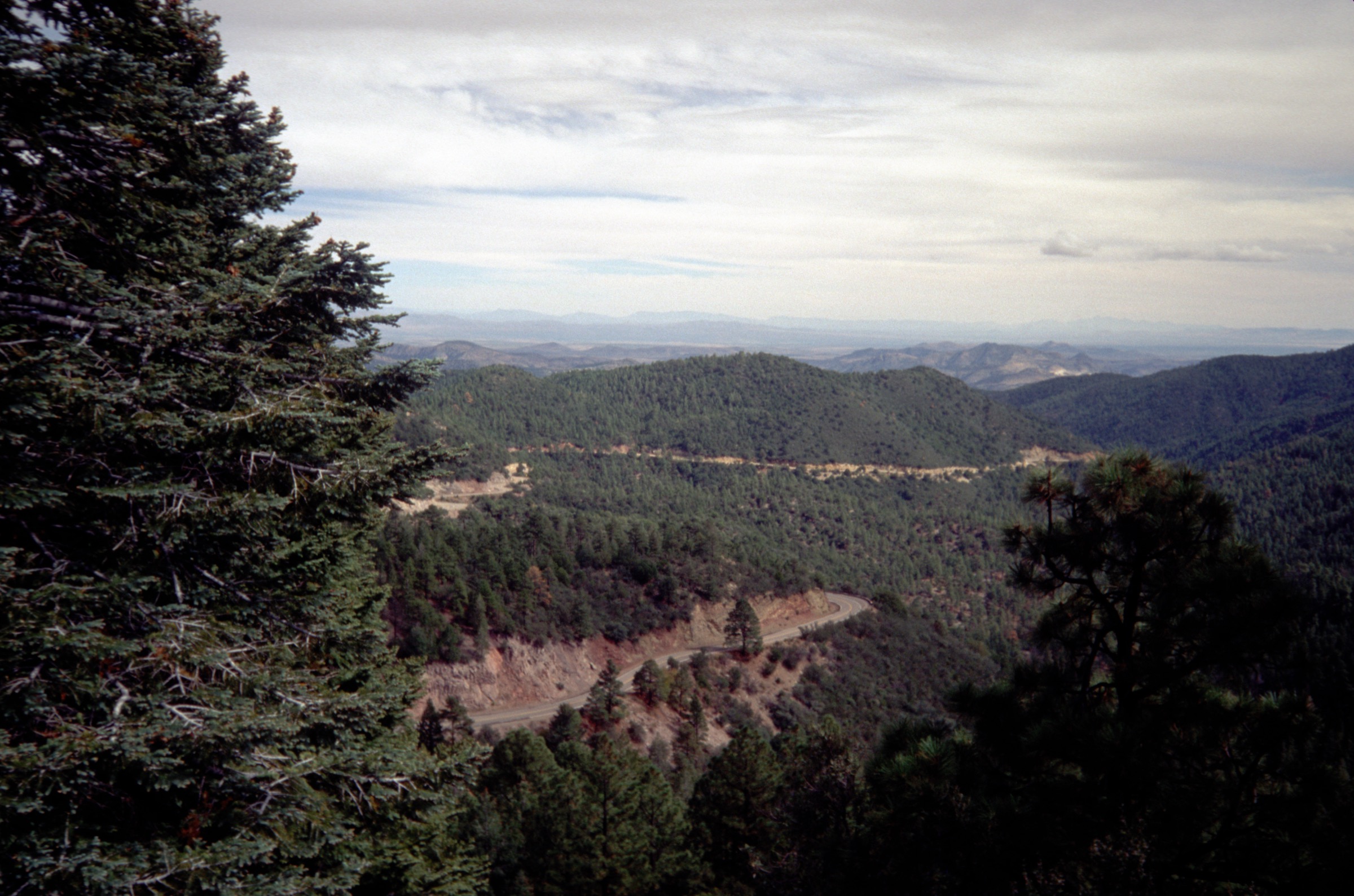
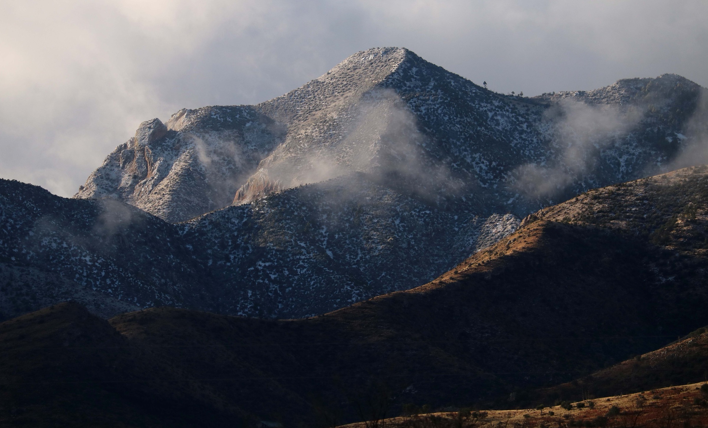
The Huachuca Mountains are a Madrean sky-island range in Cochise County, south-east Arizona, rising abruptly from Sonoran and Chihuahuan grasslands at roughly 1,400 m to Miller Peak (2,886 m / 9,466 ft) — the range high point and the southernmost 9,000-foot summit in the contiguous United States. The range trends north–south for about 32 km along the Mexican border, bounded by the San Pedro River valley to the east (Sierra Vista) and the San Rafael Valley to the west. Ecologically the Huachucas compress the full Madrean altitudinal sequence into a single climb: desert grassland and mesquite–oak at the base, pinyon–juniper and Chihuahua pine at mid-elevations, and ponderosa pine, Douglas fir and aspen along the crest. Biogeographical affinity is with the Sierra Madre Occidental rather than the northern Rockies, and this southern-edge character supports over 170 recorded bird species — including elegant trogon, painted redstart and sulphur-bellied flycatcher on the wilderness side, and up to fifteen hummingbird species in the eastern canyons, for which Ramsey Canyon is world-famous.
Management is split between four agencies. The Coronado National Forest — Sierra Vista Ranger District administers most of the western and southern half, including the 20,190-acre (about 8,170 ha) Miller Peak Wilderness designated in 1984. The National Park Service administers the small Coronado National Memorial at the southern tip, straddling Montezuma Pass and touching the international boundary. Fort Huachuca, an active US Army installation, occupies roughly the north-eastern quarter of the range and controls access to Huachuca Canyon, Garden Canyon and adjacent trails; entry to any Fort-side hike requires a background-checked installation access badge (one-year for Arizona ID holders, ninety-day for out-of-state), which most visitors will not have arranged in advance. Fort-side routes are therefore excluded from this catalogue. The Nature Conservancy’s Ramsey Canyon Preserve manages the lower Ramsey Canyon corridor and is the only practical entry to the Hamburg Trail #122.
The Arizona National Scenic Trail begins in the Huachucas: AZT Passage 1 traverses the crest from the Mexican boundary north-west to Parker Canyon Lake. Coronado National Memorial has historically hosted the southern terminus at the border, but the southernmost mile at the international boundary is currently closed to public access and the Arizona Trail Association has been developing an alternative terminus experience on Coronado Peak; hikers walking the AZT southbound will end at or near the Coronado Peak monument rather than at the border fence itself.
The 2011 Monument Fire burned approximately 30,500 acres (12,300 ha) across the southern Huachucas — including large parts of the Miller Peak Wilderness, the Ramsey Canyon watershed and Coronado National Memorial — and the burn scar continues to shape trail conditions. Recovery is well established, but standing dead ponderosa, post-fire deadfall and faint tread persist on the Miller Peak, Carr Peak and Hamburg approaches, and post-fire debris flows have altered several canyon drainages. Border Patrol activity is common in the lower Coronado National Memorial and on the southern AZT sections; leaving an itinerary with someone before setting out is sensible practice on those routes.
The typical hiking season is October to May at the trailhead, with April–May and September–November the prime windows on the crest. Summer (June to early September) brings afternoon monsoon thunderstorms, severe lightning risk on the exposed ridge and daytime highs above 35 °C at the lower trailheads; hummingbird viewing at Ramsey Canyon peaks in late spring and early autumn but overlaps with the monsoon. Winter can bring snow above about 2,300 m, and it lingers on north aspects into March in wetter years. Cell coverage is patchy above Montezuma Pass and effectively absent inside the wilderness.
For the neighbouring sub-ranges of the Arizona Sky Islands, see the sister entry on the Chiricahua Mountains — the larger and higher range 100 km to the north-east — which shares the Madrean biogeography and the 2011-era fire history but adds the Wonderland of Rocks hoodoo country and the higher Chiricahua Peak crest.
Selection rationale
The five day-hikes below cover the geological, ecological and cultural range of the Huachucas across the three principal land managers accessible to unbadged visitors: Coronado National Memorial (NPS), Miller Peak Wilderness (USFS) and Ramsey Canyon Preserve (The Nature Conservancy). Two are strenuous summit days, one is a short interpretive walk with disproportionate cultural weight, one is the classic riparian sky-island canyon walk with world-class birding, and one is a moderate ridge-and-canyon traverse inside the National Memorial. Fort-side routes on Fort Huachuca have been excluded because the required installation access badge is not a same-day arrangement for most visitors.
Routes excluded as out of scope are discussed at the end of the article.
Summary
| # | Hike | Trailhead | Route type | Distance | Gain | Max elevation | Difficulty |
|---|---|---|---|---|---|---|---|
| 1 | Miller Peak from Montezuma Pass | Montezuma Pass (Coronado NM) | Out-and-back | 16–18 km | 910–1,200 m | 2,886 m | Strenuous |
| 2 | Coronado Peak Trail | Montezuma Pass (Coronado NM) | Out-and-back | 1.3 km | 90 m | 2,093 m | Easy |
| 3 | Carr Peak from Reef Townsite | Old Sawmill Spring (FR 368) | Out-and-back | 8.9–9.6 km | 560–770 m | 2,813 m | Moderate–strenuous |
| 4 | Hamburg Trail #122 through Ramsey Canyon Preserve | Ramsey Canyon Preserve visitor centre | Out-and-back | 5–12 km | 150–800 m | up to 2,290 m | Moderate |
| 5 | Joe’s Canyon Trail | Coronado NM visitor centre | Out-and-back (or shuttle) | ~10 km | ~400 m | 2,020 m | Moderate |
1. Miller Peak from Montezuma Pass
Snapshot
Itinerary
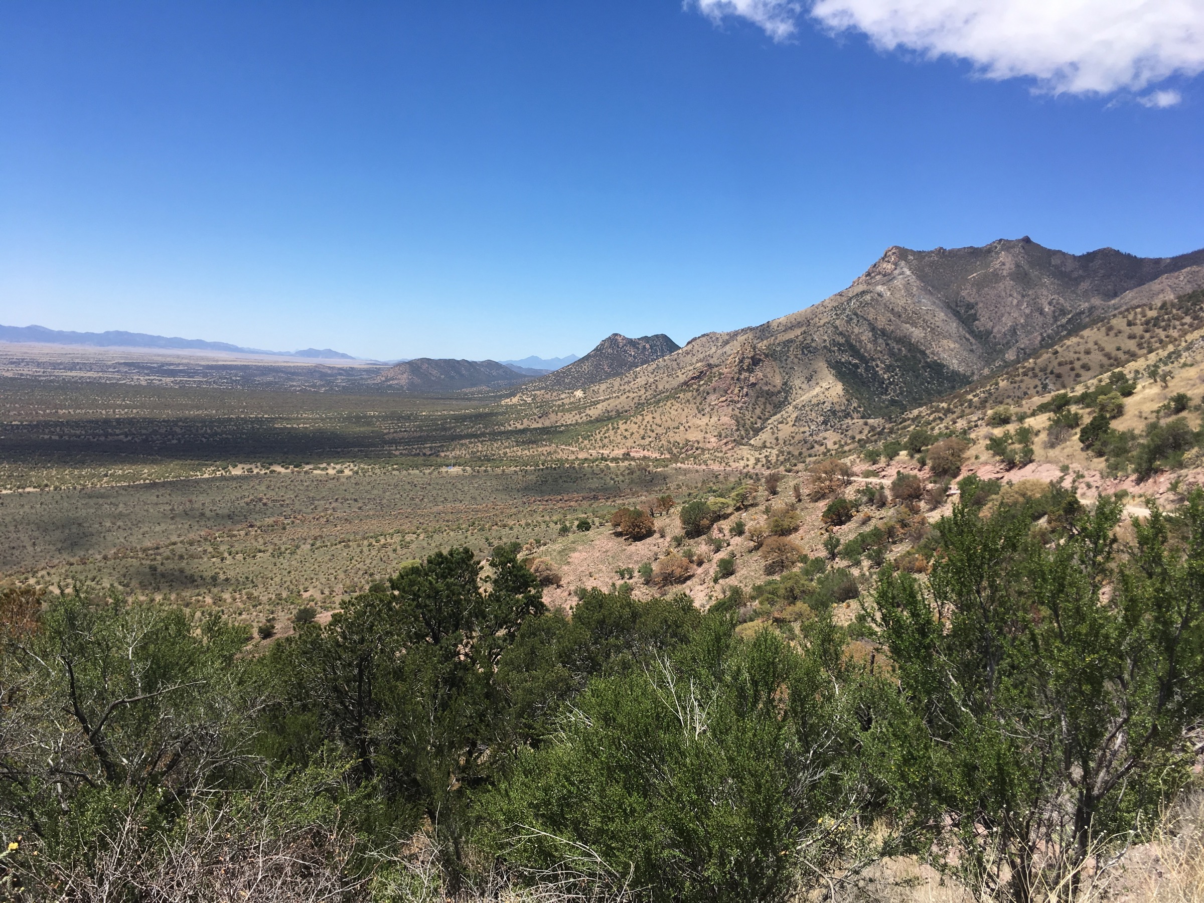
The route leaves the north-east end of the Montezuma Pass parking area, immediately entering Coronado National Memorial NPS land and climbing across the south-west slope of Montezuma Peak. After approximately 3 km the Crest Trail #103 crosses the Memorial boundary into the Miller Peak Wilderness at a signed wilderness registration box. The trail continues to climb through Madrean oak, then Chihuahua pine and Douglas fir, with the 2011 Monument Fire burn scar still visible on many south-facing slopes and standing dead ponderosa on the crest itself.
Beyond the Bathtub Spring / Bond Spring area — a seasonal water source that should not be relied upon — the trail rolls along the crest, passing junctions for Lutz Canyon and Old Copper Glance Canyon on the east side. The AZT-signed route stays on the crest until a signed junction with the Miller Peak summit spur, roughly 8 km from the trailhead. The spur climbs about 200 m in some 800 m of trail through burned forest and open rock, reaching the summit and the stone foundation of the former fire lookout. The 360° panorama takes in the San Pedro and San Rafael valleys, the Patagonia and Santa Rita mountains to the north-west, and deep views south into Sonora, Mexico.
Descent reverses the route. The AZT continues north-west from the summit spur junction toward Bear Saddle and Sunnyside Canyon on the Passage 1 through-hike, but that continuation is not part of this day.
Why it is essential
Miller Peak is the highest summit in the Huachucas and the highest 9,000-foot point in the contiguous United States south of the Gila River, making it the definitive sky-island summit day. The route follows the Arizona National Scenic Trail through the Miller Peak Wilderness and delivers the full Madrean altitudinal sequence in a single climb. The summit view spans a landscape that is culturally central both to the 1540 Coronado Expedition and to the modern Arizona Trail.
Equipment
- Sturdy mountain hiking boots and trekking poles for the sustained descent
- Extra warm layer for the summit — typical summit temperatures are 10–15 °C cooler than the trailhead
- Hat and gloves outside midsummer
- Minimum 3 L water — no reliable water on route
- High-SPF sun protection and a wide hat
- Offline map and GPS with the AZT track loaded
- Headtorch for long days and slow descents
- Microspikes if lingering north-aspect snow is present (February to April in wetter years)
Hazards and notes
- Post-fire deadfall and standing snags remain a hazard on the crest, especially in wind.
- No reliable on-route water; Bathtub Spring is intermittent and should not be planned around.
- Lightning risk on the exposed summit ridge from June through mid-September afternoons — start early.
- The AZT southernmost mile at the Mexican border is currently closed; Border Patrol activity is common in the area and hikers should not interfere with operations.
- Miller Peak Wilderness rules apply: no bicycles, no drones, no mechanised transport, group size limited to 15.
- Dogs are permitted but must be under control; water and shade for dogs are effectively absent on the crest.
- Montezuma Canyon Road to the pass is graded but rough; high-clearance is advised and access can close briefly after storms.
2. Coronado Peak Trail
Snapshot
Itinerary
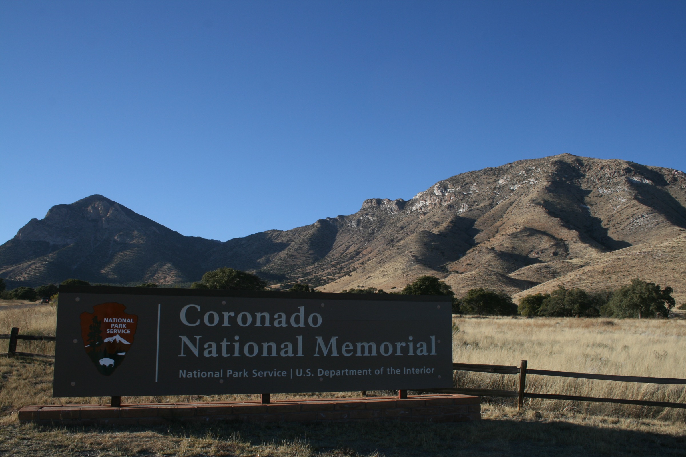
The trail leaves the south side of the Montezuma Pass parking area and climbs south-east on constructed stone steps and short paved sections. Interpretive panels along the way describe the 1540 Coronado Expedition and its commemoration in this park, with brief natural-history stops on Madrean flora and fauna. The climb reaches a shaded observation shelter and viewpoint on the summit ridge of Coronado Peak, with wide views west over the San Rafael Valley, east over the San Pedro River basin, and — on clear days — deep into Sonora, Mexico. A short loop at the summit allows a slightly different return line before descending back to the trailhead.
The Arizona Trail Association has been developing an alternative Arizona National Scenic Trail southern-terminus monument at or near Coronado Peak, in place of the historical terminus at the international boundary which is currently closed to public access. Final configuration and interpretive material should be confirmed with the AZT Association or the NPS visitor centre.
Why it is essential
Coronado Peak is the interpretive centrepiece of Coronado National Memorial and, in effect, the practical modern southern terminus of the Arizona National Scenic Trail. The short walk delivers the range’s most accessible border-country panorama, essential geographic and cultural context for any Huachucas visit, and views that form the natural pair to the far more strenuous Miller Peak climb from the same trailhead.
Equipment
- Sturdy trail shoes for the stone steps
- Sun hat and sunscreen — no shade until the summit shelter
- 0.5–1 L water per person
- Weatherproof layer in cool season
- Light traction is rarely useful but possible after winter storms on the shaded east side of the steps
Hazards and notes
- Full sun exposure on the climb; heat is the principal hazard from May through September.
- Stone steps can be slippery when wet or icy.
- Dogs on leash are generally permitted on Memorial trails; visitors should confirm current rules at the visitor centre.
- Border Patrol operations are common in the area; visitors are asked not to interfere.
- The Coronado National Memorial visitor centre is fee-free but its opening hours vary seasonally — confirm before travel.
3. Carr Peak from Reef Townsite
Snapshot
Itinerary
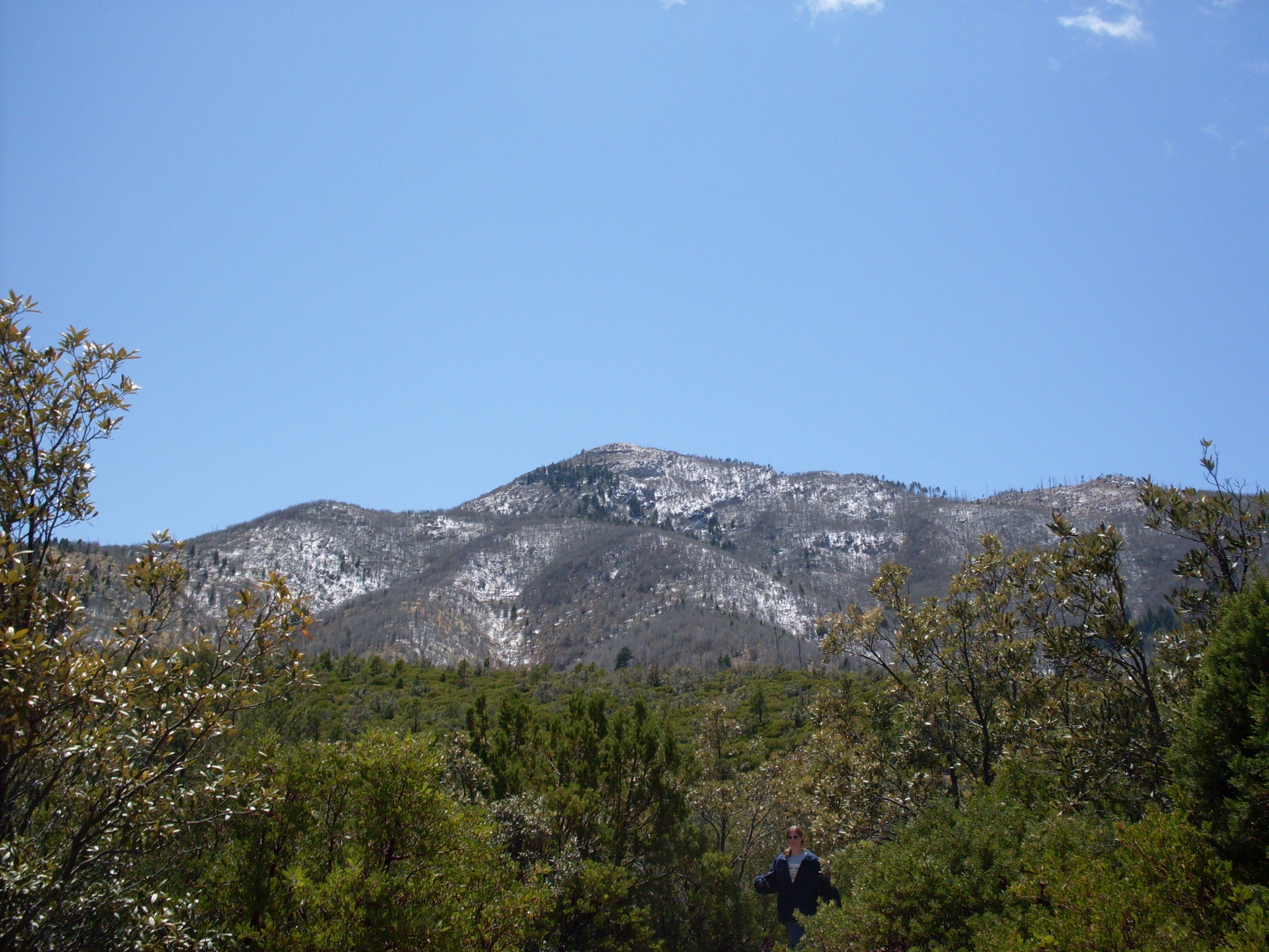
From the Old Sawmill Spring Trailhead across from Reef Townsite Campground, Carr Peak Trail #107 climbs west-south-west through open Douglas fir and aspen stands that were affected by the Carr Peak Fire complexes and the 2011 Monument Fire. The Old Sawmill Spring Trail links in from the campground at about 1 km. The main trail continues, entering the Miller Peak Wilderness at a signed boundary and rising through recovering forest onto the open sub-alpine grassland that gives the upper Carr Peak slopes their distinctive character. A signed junction with the summit spur is reached at approximately 3.7 km; the spur climbs the last ~500 m at a steeper grade to the summit cairn.
The summit view runs north to Fort Huachuca and the range crest, east to Sierra Vista and the San Pedro Valley, south to Miller Peak across the head of Ramsey Canyon, and west into the San Rafael Valley. Descent reverses the route. Parties can extend the day by continuing from the summit spur junction south-west to Crest Trail #103 and Bear Saddle for a link with Miller Peak, but that becomes a substantially longer through-hike beyond the scope of a day-out.
Why it is essential
Carr Peak is the second-highest summit in the Huachucas and delivers the range’s best open sub-alpine grassland walk on its upper slopes — a landscape effectively unique in southern Arizona at this scale. It also provides the most direct summit day-hike into the burn-affected northern Miller Peak Wilderness, showing the ecological recovery of the sky-island crest at close range.
Equipment
- Sturdy mountain hiking boots and trekking poles for the loose upper spur
- Extra warm layer, hat and gloves outside midsummer
- Minimum 2.5 L water — no reliable water on route
- High-SPF sun protection — the upper slopes are open grassland
- Offline map and GPS
- Microspikes possible on the shaded upper trail in late winter after storms
- Insect repellent in warmer months
Hazards and notes
- Post-fire deadfall on the middle section; watch for standing dead trees in wind.
- Open grassland summit exposes hikers to lightning in monsoon afternoons — plan an early start.
- Carr Canyon Road (FR 368) is narrow, unpaved and steep, with tight switchbacks and drop-offs; high-clearance is strongly preferred, larger vehicles and trailers are unsuitable, and the road is prone to closure after snow or heavy rain.
- Wilderness rules apply above the boundary sign (no bicycles, no drones, group-size limit 15).
- Dogs permitted but must be under control; carry water for them.
4. Hamburg Trail #122 through Ramsey Canyon Preserve
Snapshot
Itinerary
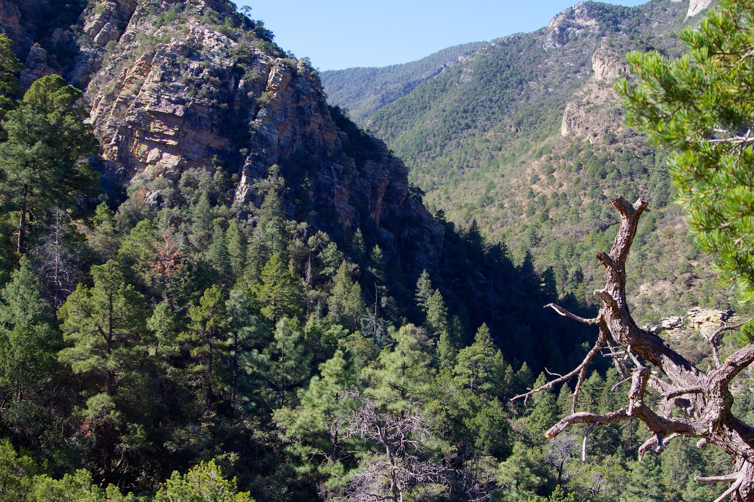
The trail begins inside The Nature Conservancy’s Ramsey Canyon Preserve. Visitors pay the entrance fee at the visitor centre (US$8 general, US$5 for TNC members and Cochise County residents, free under-18), collect the required Preserve permit, and follow signed paths past the well-known hummingbird feeders and interpretive stops. The route ascends a shaded riparian corridor along Ramsey Creek, crossing several small footbridges. After approximately 1.6 km inside the Preserve, the trail leaves TNC land via steep switchbacks and enters the Coronado National Forest and Miller Peak Wilderness. A short spur climbs to a viewpoint above the Preserve, which is the natural turnaround for many visitors.
Beyond the Preserve boundary, the Hamburg Trail #122 continues north-west through the remnants of the Hamburg townsite and mining district, past the Hamburg Mine ruins, and up through Wisconsin Canyon. The trail meets the Crest Trail #103 at Bear Saddle. A common intermediate turnaround is Hamburg Meadow, an open grassland at approximately 2,290 m. Descent reverses the route; parties must be back inside the Preserve boundary before closing hours.
Why it is essential
Ramsey Canyon is the internationally famous hummingbird and riparian canyon of the Huachucas — a Madrean sky-island cove-forest and stream corridor of unusual botanical and ornithological richness, home to 15-plus recorded hummingbird species, and the classic way to experience the range’s ecological signature without a summit day. The route also links directly into the Miller Peak Wilderness and, if extended, to the Crest Trail, so it functions both as an accessible birding walk and as the gateway to a serious day in the wilderness.
Equipment
- Sturdy trail shoes or light boots depending on turnaround
- Warm and weatherproof layers
- 2–3 L water — Ramsey Creek is not a potable source
- Sun protection
- Binoculars strongly recommended for birding
- Trekking poles useful on the wilderness switchbacks
- Insect and tick protection in warmer months
- Offline map and GPS
Hazards and notes
- Preserve access is strictly time-boxed: 08:00–17:00 (1 March – 31 October) or 09:00–16:00 (1 November – 28 February), closed Tuesday and Wednesday year-round and on Thanksgiving, Christmas Eve, Christmas Day and New Year’s Day. Reconfirm current schedule annually with nature.org.
- Parking is limited to 27 spaces; weekend and holiday visits require reservations, weekdays are first-come.
- Pets are prohibited in the Preserve (service animals excepted) and strongly discouraged on the wilderness continuation because of steep switchbacks and no water.
- Bicycles, drones, camping and fires are prohibited in the Preserve.
- Flash flooding is possible in the canyon during monsoon storms.
- The upper trail crosses the 2011 Monument Fire scar; deadfall risk remains elevated.
5. Joe’s Canyon Trail
Snapshot
Itinerary
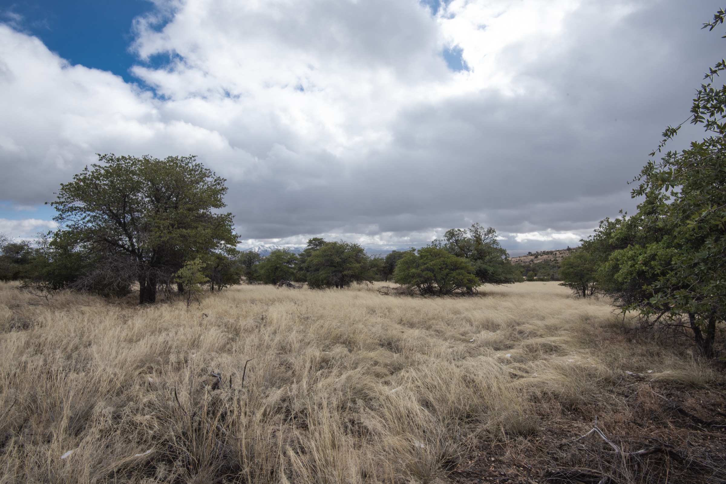
The trailhead sits about 150 m west of the Coronado National Memorial visitor centre. The route climbs steeply out of Montezuma Canyon for the first 1.6 km, gaining roughly 300 m onto Smugglers Ridge, with expanding views back over the San Pedro Valley and Sierra Vista and south into Mexico. The trail then rolls along the ridge, undulating past open Madrean grassland and oak stands before descending into and re-climbing out of a series of side draws.
At approximately 5 km the trail meets the Yaqui Ridge Trail junction — a spur south to the international boundary and the historical southern terminus of the Arizona Trail — and continues a short distance north to the Coronado Peak Trail near Montezuma Pass. Parties without a shuttle turn back at Montezuma Pass and reverse the route; where a second vehicle has been left at the pass, the trail can be walked as a one-way point-to-point in either direction.
Why it is essential
Joe’s Canyon is the classic day-hike interior of Coronado National Memorial and the historical link between the visitor centre and Montezuma Pass without driving the Montezuma Canyon Road switchbacks. It passes the Yaqui Ridge Trail junction — the practical southern-terminus point of the Arizona National Scenic Trail during the ongoing border closure — giving hikers direct access to the AZT-terminus experience without committing to a longer wilderness day. The ridge sections deliver some of the most sustained border-country panoramas in the range.
Equipment
- Sturdy mountain hiking boots for the steep initial climb and rolling ridge
- Trekking poles helpful on both the climb and the return descent
- Warm layer for shaded ridges in winter
- 2.5–3 L water — no water on route
- Sun protection
- Offline map and GPS
- Tick protection in grassland sections
Hazards and notes
- Full sun exposure on much of the ridge; heat is the principal hazard May to September.
- No water on route.
- The AZT boundary itself is currently closed to public access; Border Patrol activity is common in the area and hikers should not interfere with operations.
- Dogs are permitted on Memorial trails but should be leashed and carry adequate water.
- The trail crosses areas within the 2011 Monument Fire burn scar; watch for post-fire erosion and deadfall.
- Flash-flooding is possible in Montezuma Canyon during summer storms.
- Leave an itinerary with someone before setting out — this is a border-country route with patchy cell coverage.
Routes excluded as out of scope
The following sit inside or adjacent to the Huachuca Mountains but fall outside a day-hike entry, require access permissions most visitors will not hold, or are better understood as multi-day trips.
- Huachuca Canyon and Perimeter Trail (Fort Huachuca). Two of the finest hiking landscapes in the range, but access requires a background-checked installation access badge from the Fort Huachuca visitor centre. A dedicated entry could cover the Fort-side trails once the badge process is documented.
- Garden Canyon pictographs and Sawmill Canyon (Fort Huachuca). Same access constraint as above.
- Sunnyside Canyon and Copper Glance Canyon. Historic mining approaches to the crest from the west side; long, faint tread and complex access make them better as backpack days than as introductory hikes.
- Bathtub Trail and Huachuca Peak variants. Interesting alternate lines to the crest, but effectively duplicative of the Miller Peak day for a general catalogue.
- AZT Passage 1 (through-hike) and Passage 2. The full Huachuca and Canelo Hills passages of the Arizona National Scenic Trail are multi-day backpacks; only the Miller Peak and Joe’s Canyon day-sections are included here.
Further reading
| Source | URL |
|---|---|
| USFS Coronado National Forest — Huachuca Mountains | fs.usda.gov |
| USFS Coronado NF — Miller Peak Wilderness | fs.usda.gov |
| USFS Coronado NF — Crest Trail #103 | fs.usda.gov |
| USFS Coronado NF — Hamburg Trail #122 | fs.usda.gov |
| USFS Carr Peak Trail #107 (Rec-Opp Guide, PDF) | huachucamountains.org |
| NPS Coronado National Memorial — Hiking | nps.gov |
| NPS — Coronado Peak Trail | nps.gov |
| NPS — Joe’s Canyon Trail | nps.gov |
| NPS — Yaqui Ridge Trail | nps.gov |
| Arizona Trail Association — Passage 1 Huachuca Mountains | aztrail.org |
| Wilderness Connect — Miller Peak Wilderness | wilderness.net |
| The Nature Conservancy — Ramsey Canyon Preserve | nature.org |
| Fort Huachuca — visitor access (installation access badge) | home.army.mil |
| Friends of the Huachuca Mountains | huachucamountains.org |
| American Southwest — Hamburg Trail, Ramsey Canyon | americansouthwest.net |
| American Southwest — Coronado Peak and Yaqui Ridge Trails | americansouthwest.net |
| Wikipedia — Miller Peak (Arizona) | en.wikipedia.org |
| Wikipedia — Carr Peak | en.wikipedia.org |
| Wikipedia — Coronado National Memorial | en.wikipedia.org |
| Arizona Geological Survey — Post-Monument Fire Floods and Debris Flows | azgeology.azgs.arizona.edu |
| Wikimedia Commons — Huachuca Mountains category | commons.wikimedia.org |
| OpenStreetMap (ODbL 1.0) | openstreetmap.org |