Regional overview
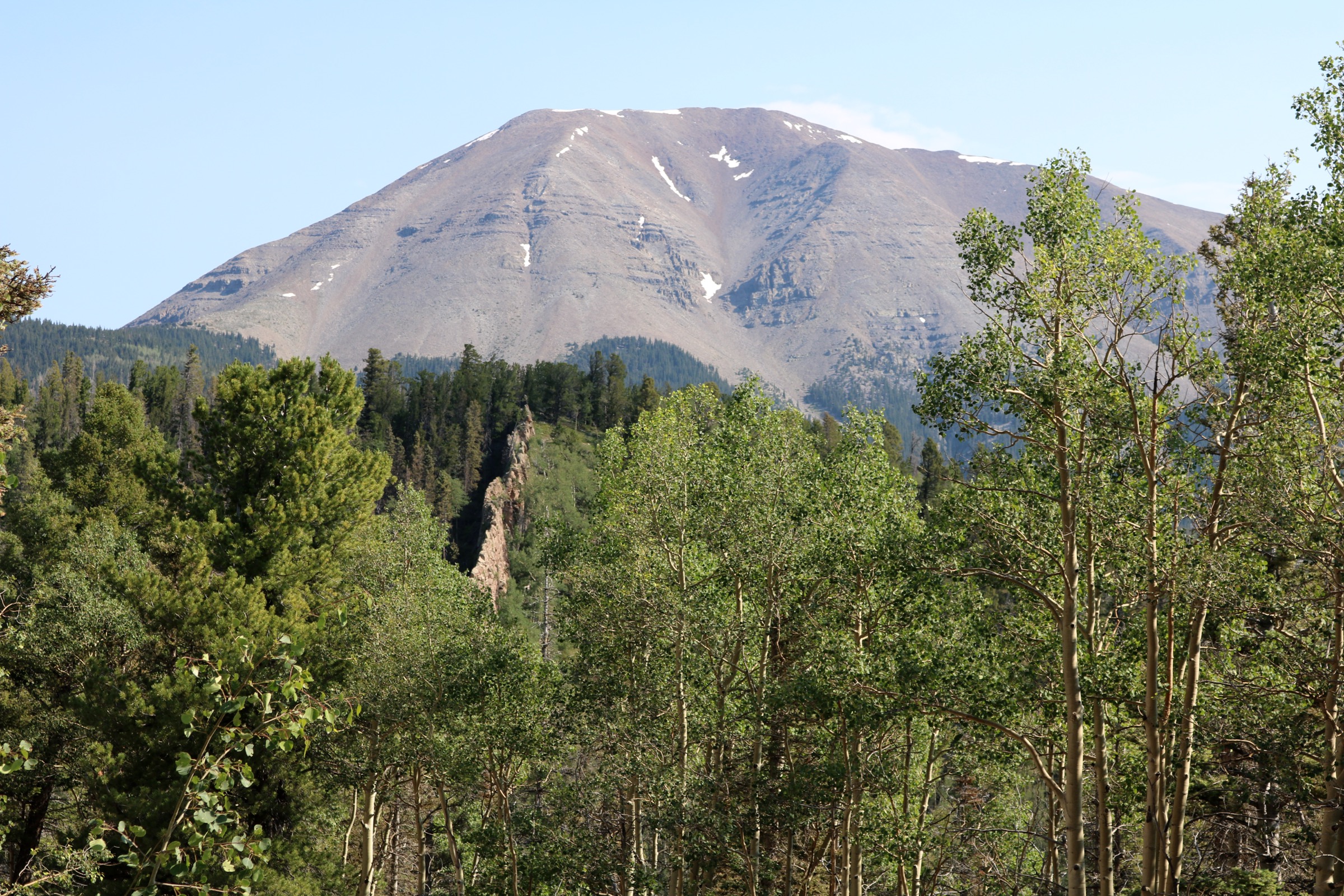
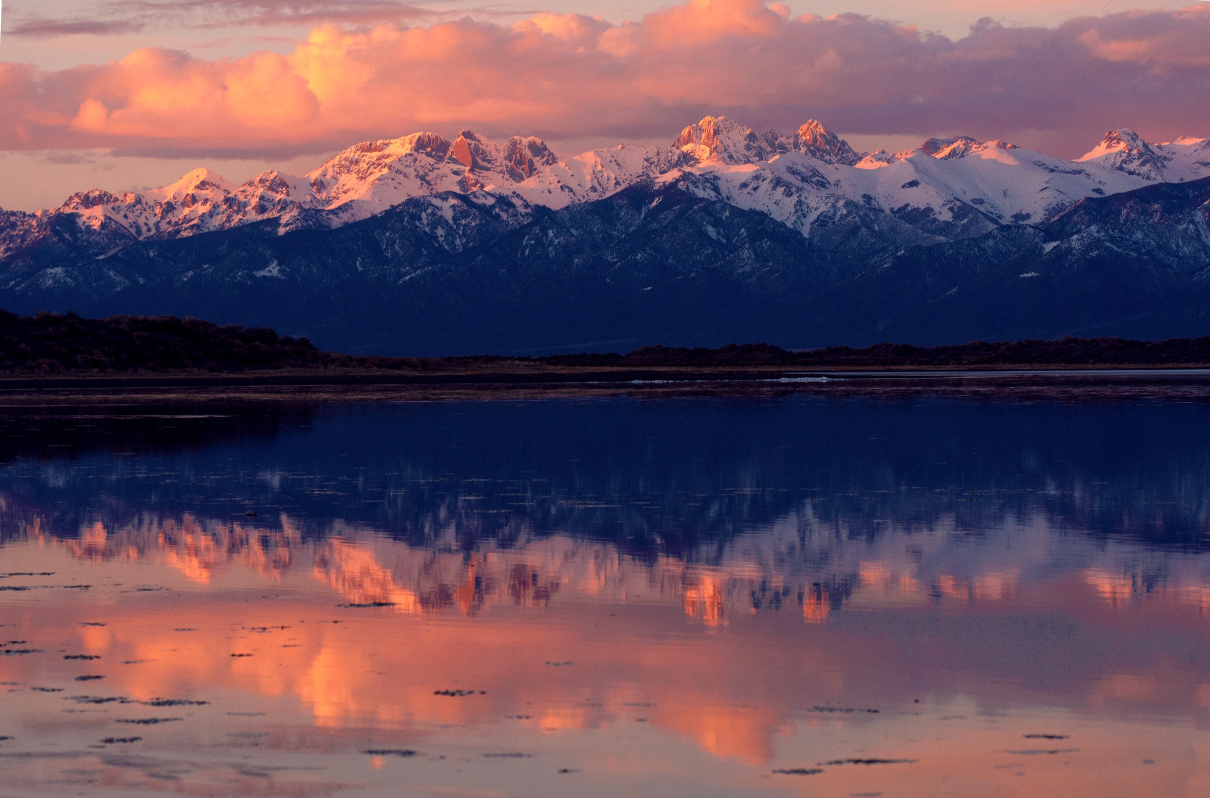
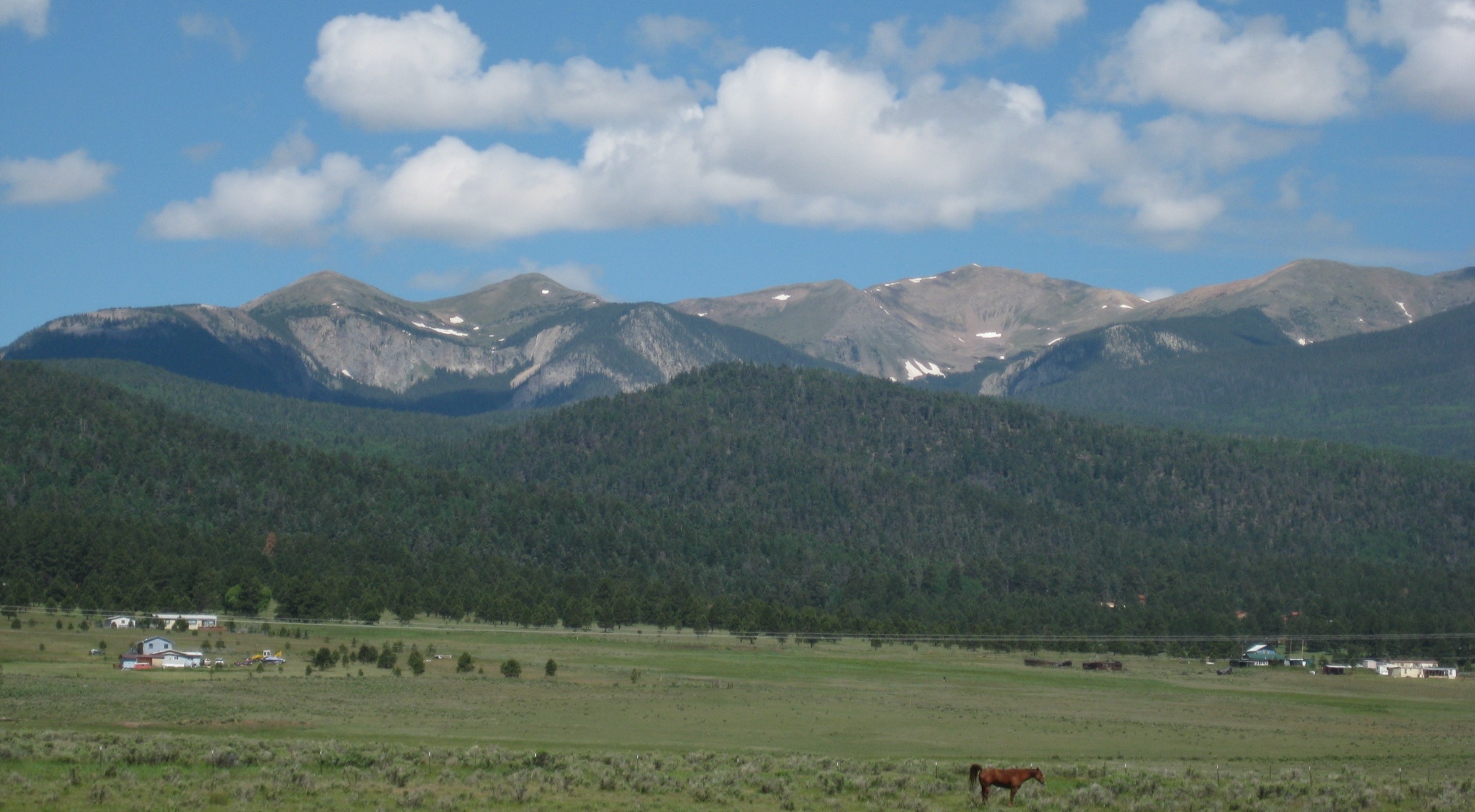
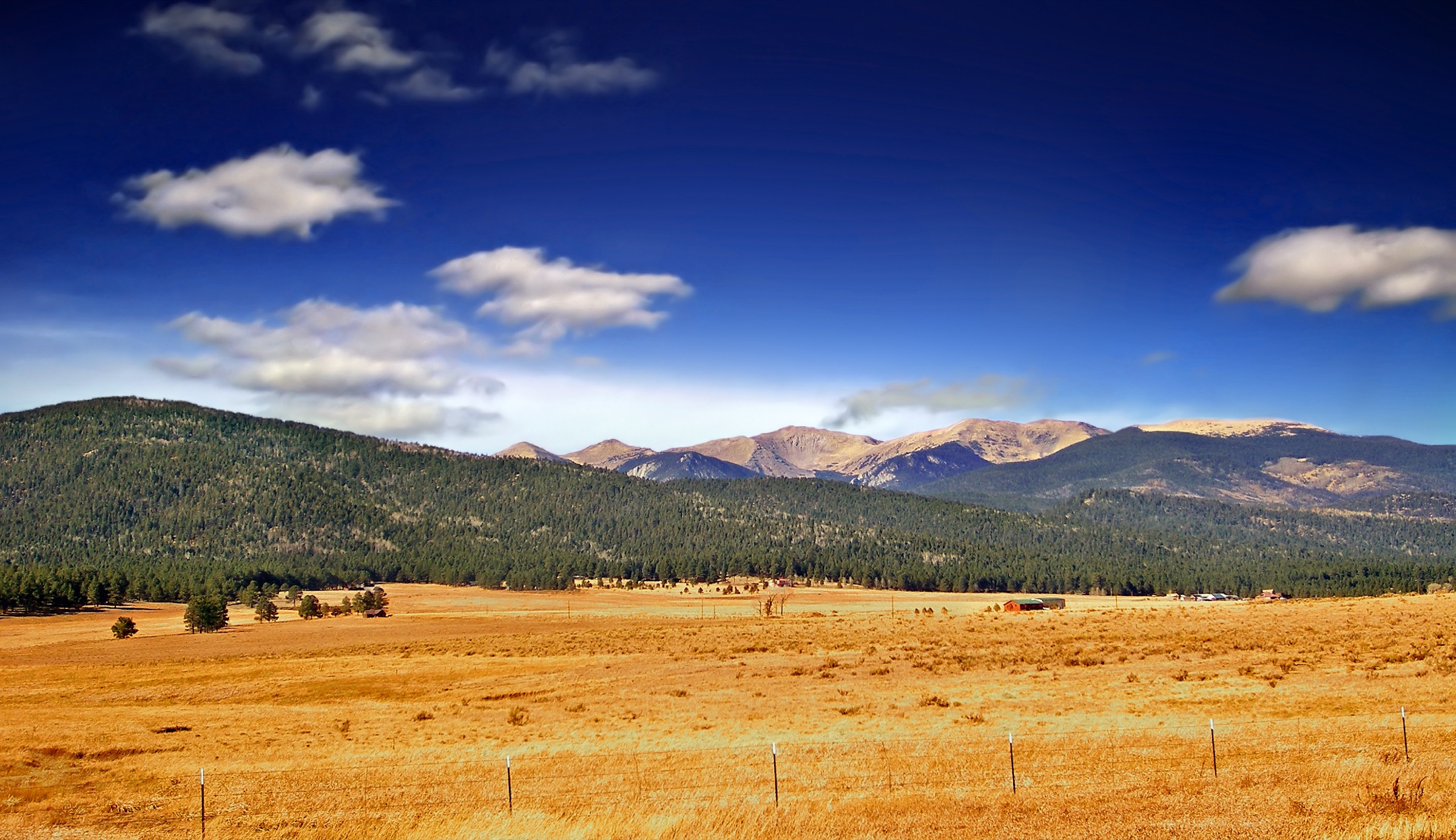
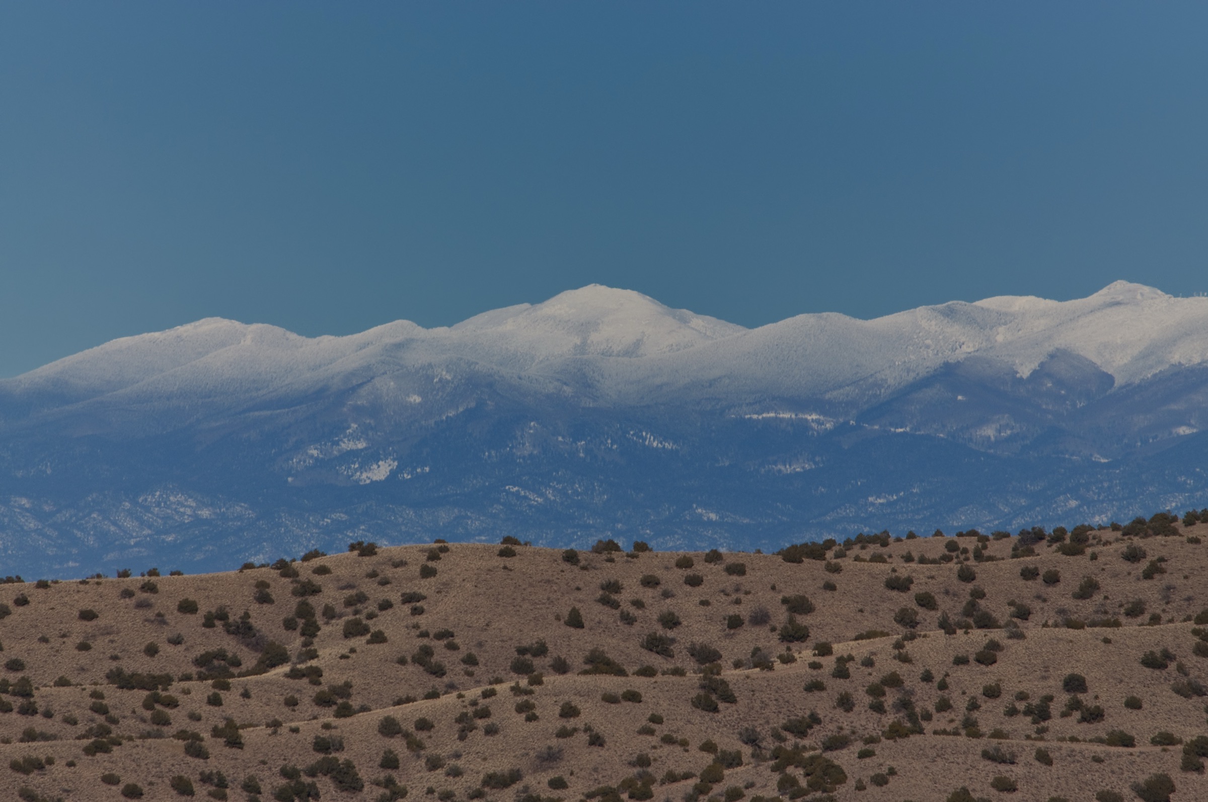
The Sangre de Cristo Mountains are the southernmost sub-range of the Rocky Mountains, running roughly 400 km south-south-east from Poncha Pass in south-central Colorado to Glorieta Pass south-east of Santa Fe. The northern New Mexico section — from the Colorado state line south past Taos and Truchas to Santa Fe — contains three federally designated wilderness areas: the Latir Peak Wilderness (~83 km² / 20,500 acres, Carson National Forest), the Wheeler Peak Wilderness (~80 km² / 19,661 acres, Carson National Forest) and the much larger Pecos Wilderness (~902 km² / 223,000 acres, jointly managed by Carson and Santa Fe National Forests). Wheeler Peak (4,013 m), rising above Taos Ski Valley, is the highest point in New Mexico. South Truchas Peak (~3,995 m) is the range’s second summit and the southernmost land above 4,000 m in the contiguous United States.
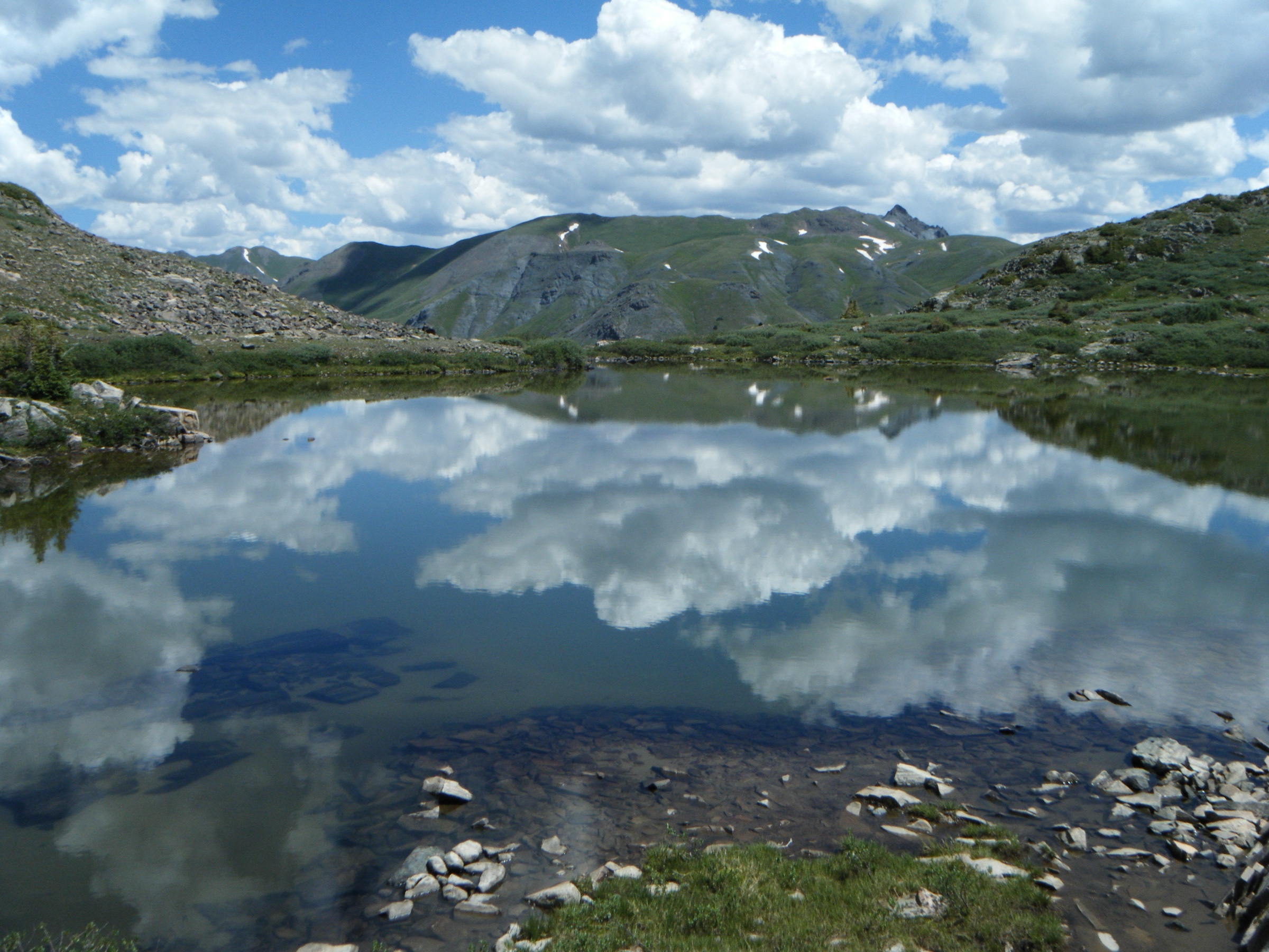
Geologically the New Mexico Sangres differ from the fault-block Colorado section: much of the range is Permian–Pennsylvanian sedimentary rock — conglomerates, mudstones, sandstones and limestones — cut by igneous intrusions, sitting on top of exposed Precambrian basement in the highest cirques. Glacial cirques on the north and east faces of Wheeler, Santa Fe Baldy, the Truchas Peaks and the Latir Peaks hold small alpine lakes — Williams Lake, Nambe Lake, Lake Katherine, Trampas Lakes, Heart Lake — between 3,400 and 3,650 m. Below the local treeline at roughly 3,500 m the range is heavily forested with mixed conifer, spruce-fir and aspen, with ponderosa pine on lower slopes. Above treeline, alpine tundra covers the ridges and summits.
Access is straightforward compared with much of the Colorado range. The main hiking hubs are Taos Ski Valley (Wheeler Peak Wilderness), Questa and Cabresto Lake (Latir Peak Wilderness), Cowles and Jack’s Creek on the east side of the Pecos, and the Santa Fe Ski Basin / Winsor Trailhead on the west side. The Winsor Trail from the Ski Basin is the classic gateway to Nambe Lake, Puerto Nambe, Lake Katherine and Santa Fe Baldy. The best walking season runs from mid-June to mid-October; snow lingers in north-facing cirques and above 3,500 m into July and returns in October. The North American Monsoon (roughly early July to mid-September) brings near-daily afternoon thunderstorms, and lightning above the extensive alpine tundra is the range’s single most serious hazard — early starts are essential on all summits and ridge routes.
No day-use permits are currently required for the three New Mexico wilderness areas, but standard wilderness regulations apply (no mechanised transport, group-size limits, camping setbacks from lakes and streams). Black bear are common range-wide; food storage precautions are advisable at any bivouac. Cell service is unreliable to absent throughout the high country.
Selection rationale
Five hikes are presented for geographic balance across all three wilderness areas — two in the Wheeler Peak area, two in the Pecos Wilderness and one in the Latir Peak Wilderness — and for character balance: one state-high-point summit, one short alpine-cirque lake, one long high-ridge summit, one classic cirque lake and one long approach into the range’s most remote wilderness. Wheeler Peak is non-negotiable as the New Mexico high point, and Williams Lake pairs with it as the essential short option under the same massif. Santa Fe Baldy is the classic long day on the Winsor Trail out of the Ski Basin, and Lake Katherine is the range’s most celebrated cirque lake, both in the Pecos. Heart Lake represents the far less visited Latir Peak Wilderness at the northern end of the New Mexico Sangres and gives the deepest wilderness feel of the five.
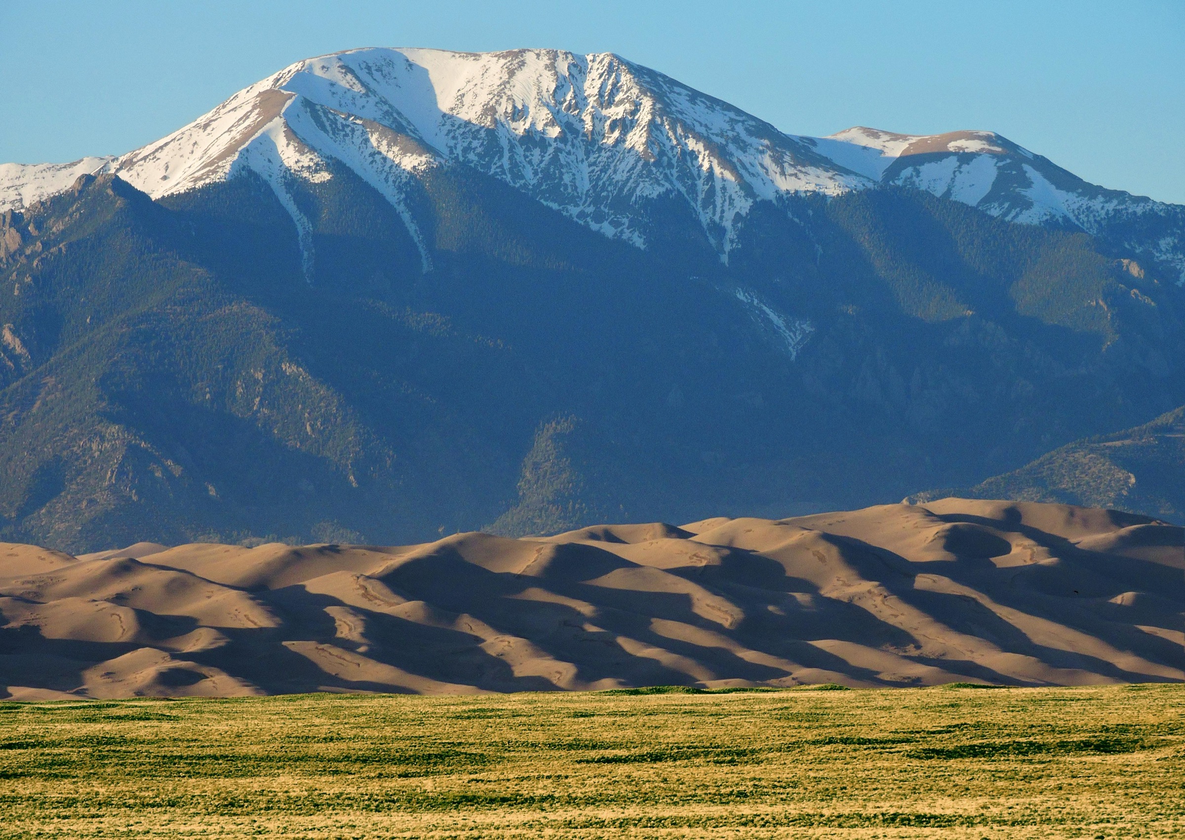
Truchas Peak was considered but excluded as a day-hike: the accepted approach from Jack’s Creek Trailhead is roughly 40–50 km round trip with ~1,800 m of ascent and is realistically a 2–3-day trip, with a single-day push documented at around twelve hours of hard walking. Jack’s Creek Trailhead and its access road were closed for reconstruction through September 2026 at time of research, further reducing feasibility. Trampas Lakes and Serpent Lake were considered but excluded to keep the Pecos representation focused on its two most iconic destinations. The Sangres north of the state line (Crestones, Blanca group, Great Sand Dunes) are outside the scope of this entry.
Summary
| # | Hike | Trailhead | Route type | Distance | Gain | Max elevation | Difficulty |
|---|---|---|---|---|---|---|---|
| 1 | Wheeler Peak via Williams Lake Trail | Williams Lake / Kachina (Taos Ski Valley) | Out-and-back | 13.7 km | 940 m | 4,013 m | Strenuous |
| 2 | Williams Lake | Williams Lake / Kachina (Taos Ski Valley) | Out-and-back | 6.1 km | 290 m | 3,383 m | Moderate |
| 3 | Santa Fe Baldy via Winsor Trail | Winsor Trailhead #254 (Ski Santa Fe) | Out-and-back | 21.9 km | 1,000 m | 3,850 m | Strenuous |
| 4 | Lake Katherine via Winsor Trail | Winsor Trailhead #254 (Ski Santa Fe) | Out-and-back | 22.9 km | 910 m | 3,580 m | Strenuous |
| 5 | Heart Lake via Lake Fork Trail | Cabresto Lake (FR 134A) | Out-and-back | 14.5 km | 700 m | 3,510 m | Moderate–strenuous |
1. Wheeler Peak via Williams Lake Trail
Snapshot
Itinerary
From the paved Williams Lake Trailhead above the Kachina base area in Taos Ski Valley, the Williams Lake Trail #62 climbs south-east through spruce–fir forest and open avalanche paths on the true right of the Rio Hondo drainage. After roughly 3 km the trail reaches Williams Lake (~3,383 m), a small lake in a rock-walled glacial cirque directly beneath the west face of Wheeler Peak.
From the north-east end of the lake the Wheeler Peak Summit Trail #67 — constructed by USFS crews and completed in 2011 — leaves the shore and climbs steeply north-east up the cirque headwall on a long series of engineered switchbacks. The tread is sound but the grade is sustained and the surface becomes loose scree above treeline. Roughly 1.5 km of switchbacks lead to the ridge at approximately 3,900 m, from where a broad ridge walk continues north to the summit. The Wheeler Peak summit itself is a rounded alpine dome with a survey marker; on clear days views extend across the Wheeler Peak Wilderness, north to the Latir Peaks and Colorado Sangres, and south along the range towards the Truchas Peaks. Return by the same route. A more strenuous variant descends the summit ridge north over Mount Walter (4,006 m) and drops down the Bull-of-the-Woods Trail to close a loop through Bull-of-the-Woods Pasture and back to the Taos Ski Valley base area (~22 km, ~1,270 m gain).
Why it is essential
Wheeler Peak is the highest point in New Mexico and the highest summit of the Sangre de Cristo Range south of the Great Sand Dunes area. The Williams Lake route is the shorter and more direct of the two standard approaches, and combines a cirque lake, a full alpine tundra traverse and the range’s high point in a single day. No essential day-hike catalogue of the New Mexico Sangres can omit it.
Equipment
- Sturdy boots for scree and talus above Williams Lake
- Trekking poles strongly recommended for the descent
- Extra warm layer and windproof shell — summit temperatures 15–25 °C below valley readings, winds regularly gust above 70 km/h
- Sun protection: hat, sunglasses and high-SPF sunscreen for the exposed ridge
- 2.5–3 L water per person — no reliable water above Williams Lake
- Headtorch in case of a late return
- Bear-aware food storage in the trailhead parking area
Hazards and notes
- Altitude: the summit is above 4,000 m and pace should reflect this; acclimatisation from lower elevations is advisable.
- Afternoon thunderstorms are near-daily in July and early September; aim to be off the summit and off the exposed ridge by early afternoon.
- Snow lingers in the upper cirque into July in normal years and can return by mid-October; microspikes may be useful in early season.
- No fee or permit is required for day use of the Wheeler Peak Wilderness. No camping is allowed at Williams Lake.
- Dogs on lead are permitted. Wheeler Peak Wilderness prohibits mechanised transport (including mountain bikes) and drones.
- Cell service is largely absent above the ski area.
2. Williams Lake
Snapshot
Itinerary
From the Williams Lake Trailhead — 3 km up the paved Kachina Road above the Taos Ski Valley base area — the Williams Lake Trail #62 begins on an old ski-service road, climbs briefly through spruce and fir and enters the Wheeler Peak Wilderness after ~0.5 km. The trail then contours south-east above the Rio Hondo drainage on a moderate grade with occasional stone steps and rooted sections. Two large open avalanche paths break the forest cover and give views up the head of the cirque towards Wheeler Peak and Mount Walter. The trail crosses the outlet stream and reaches the north shore of Williams Lake at approximately 3,383 m. The lake sits in a classic glacial cirque, bounded on three sides by the near-vertical west face of the Wheeler Peak massif. Return by the same route.
Why it is essential
Williams Lake is the range’s most accessible alpine cirque lake and the classic short introduction to the Wheeler Peak Wilderness. It gives a full alpine setting — treeline, cirque, high peak backdrop — without the full commitment of the Wheeler Peak summit day, and is realistic for less-experienced walkers, families with older children and parties short on time or acclimatisation.
Equipment
- Sturdy trail shoes or light boots
- Trekking poles helpful on rocky sections
- Warm layer and windproof shell — the cirque holds cold air even in mid-summer
- Sun protection
- 1.5–2 L water per person
- Headtorch if starting late
Hazards and notes
- Altitude is the main issue: the lake sits above 3,300 m and slower pace should be planned.
- Afternoon thunderstorms during the monsoon (July to early September) affect the upper section; the cirque itself has some shelter but exposed sections near the lake carry lightning risk.
- Snow lingers into July in the upper cirque and can create slippery crossings on the outlet stream.
- No camping is allowed at Williams Lake. Dogs must be under control; wilderness regulations apply. No fee for day use.
3. Santa Fe Baldy via Winsor Trail
Snapshot
Itinerary
From the Winsor Trailhead #254 at the top of the Ski Santa Fe parking area, the Winsor Trail climbs north through mixed conifer and aspen on switchbacks to the top of Raven’s Ridge and the boundary of the Pecos Wilderness at ~3,275 m. The trail then contours and descends slightly to the “Y” junction where the Nambe Lake Trail #400 branches south, and continues east through open aspen glades and meadows to Puerto Nambe, a broad grassy saddle at ~3,300 m and one of the classic gateways into the Pecos high country.
At Puerto Nambe the Winsor Trail meets the Skyline Trail #251. The route turns left (north) onto the Skyline Trail and climbs steadily up open meadow and light forest to a broad saddle south of Santa Fe Baldy at approximately 3,660 m. From the saddle an unofficial but well-worn use trail climbs the wide south-west ridge of the peak through alpine tundra and scree to the summit, marked by a small rock windbreak. Views from the top take in the Pecos high country, the Truchas Peaks to the north-east, the Jemez Mountains and the Valles Caldera to the west, and on very clear days distant peaks in southern Colorado. Return by the same route.
Why it is essential
Santa Fe Baldy is the highest and most iconic summit within reach of Santa Fe. It stands over Lake Katherine and dominates skyline views from the city. The Winsor Trail approach is the range’s classic long ridge day-hike, traversing spruce–aspen forest, sub-alpine meadow at Puerto Nambe and open alpine tundra. It is the definitive Pecos Wilderness summit outing.
Equipment
- Sturdy boots
- Trekking poles recommended for the sustained descent
- Extra warm layer and windproof shell — summit exposure is significant
- Sun protection and hat
- 3 L water per person — no reliable water above Puerto Nambe
- Headtorch (long summer day; short shoulder-season days)
- Bear-aware food storage — the Pecos has resident black bear
Hazards and notes
- Afternoon lightning is the primary hazard: aim to be off the summit and off the alpine ridge by 13:00 during the monsoon.
- The summit push above Puerto Nambe is exposed for ~3 km with no shelter.
- Snow lingers on north-facing sections of the Winsor Trail below Raven’s Ridge into June and can return in late September.
- No fee or day-use permit is required. No camping within 60 m (200 ft) of trails, lakes or streams in the Pecos Wilderness; group size limited to 15 people and 25 head of stock.
- Dogs must be under control. Cell service is unreliable above the trailhead.
4. Lake Katherine via Winsor Trail
Snapshot
Itinerary
The initial section follows the Santa Fe Baldy line: from Winsor Trailhead #254, north up the Winsor Trail through forest and switchbacks to the Pecos Wilderness boundary, then east through open aspen and conifer to Puerto Nambe. At Puerto Nambe (~3,300 m) the route turns north-east onto the Skyline Trail #251 briefly before branching east onto the Lake Katherine Trail.
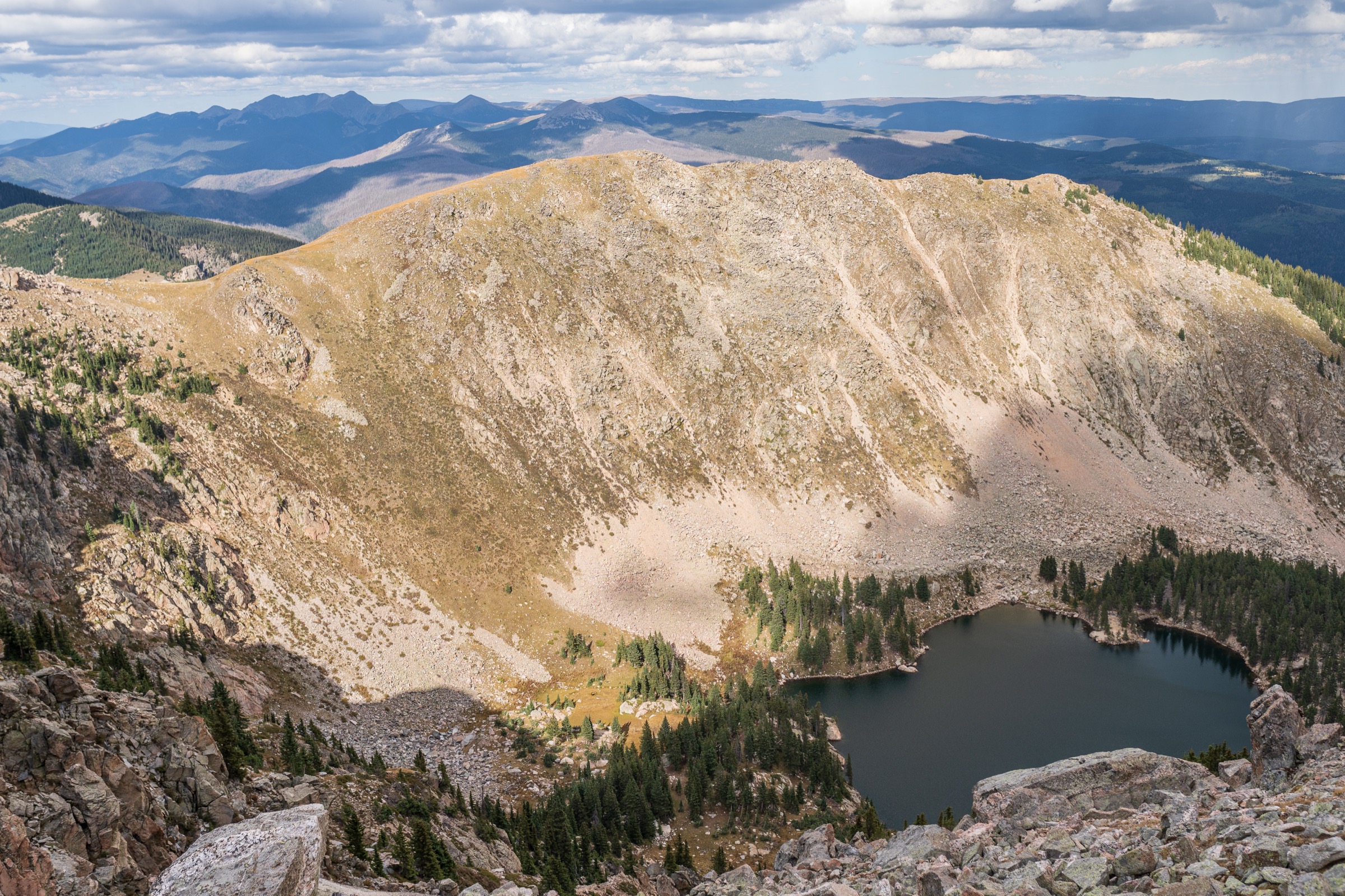
The trail climbs steadily through spruce–fir forest and traverses onto the east flank of Santa Fe Baldy, above treeline in places, on a well-defined path with occasional stone-step sections. It rises to a small tarn near the outlet of Lake Katherine before dropping the last short section into the cirque. Lake Katherine sits at 3,580 m in a rock-walled cirque on the east side of Santa Fe Baldy, one of the highest and most photographed lakes in the New Mexico Sangres. Talus and small snowfields ring the west and south shores well into summer. Return by the outbound route. Strong parties sometimes link Santa Fe Baldy and Lake Katherine into a combined day (~28–30 km), but this typically exceeds a comfortable day-hike duration and is more often done as an overnight.
Why it is essential
Lake Katherine is the archetypal alpine cirque lake of the Pecos Wilderness and one of the highest natural lakes in New Mexico. The route follows the range’s most historic long-distance trail — the Winsor — and reaches a classic glacial-lake basin under the flank of Santa Fe Baldy. It is the essential Pecos Wilderness lake hike from the Santa Fe side.
Equipment
- Sturdy boots
- Trekking poles recommended
- Extra warm layer and windproof shell — the lake basin holds cold air
- Sun protection and hat
- 3 L water per person; treated water available from streams above Puerto Nambe in mid-summer
- Headtorch
- Bear-aware food storage
- Microspikes in early season if snow persists on the traverse above Puerto Nambe
Hazards and notes
- Long day at altitude with sustained rolling ascent above Puerto Nambe.
- Afternoon thunderstorms during the monsoon are a serious hazard on the exposed east-flank traverse of Santa Fe Baldy.
- Snow can linger on the traverse into late June and can return in early October.
- No camping within 60 m of the lake shore (Pecos Wilderness regulation); no fires within 400 m of Lake Katherine per Santa Fe National Forest guidance — confirm current restrictions before departure.
- Dogs must be under control. No day-use fee at time of research.
5. Heart Lake via Lake Fork Trail (Latir Peak Wilderness)
Snapshot
Itinerary
From the town of Questa on NM 522 north of Taos, take NM 563 east then FR 134 and FR 134A to the Cabresto Lake Trailhead. The last 3 km of road is rough dirt with rocks and potholes; high-clearance is recommended and low-clearance vehicles are discouraged.
From the trailhead at the west end of Cabresto Lake, the Lake Fork Trail #82 skirts the north shore of the reservoir through Douglas fir and ponderosa pine, then follows Lake Fork Creek upstream on a moderate grade. The trail enters the Latir Peak Wilderness after ~1 km and continues north-east through mixed spruce, fir and aspen with several small stream crossings. Above ~3,100 m the forest thins to open sub-alpine meadow with wildflowers in July, and the trail continues to climb gently towards the head of the drainage.
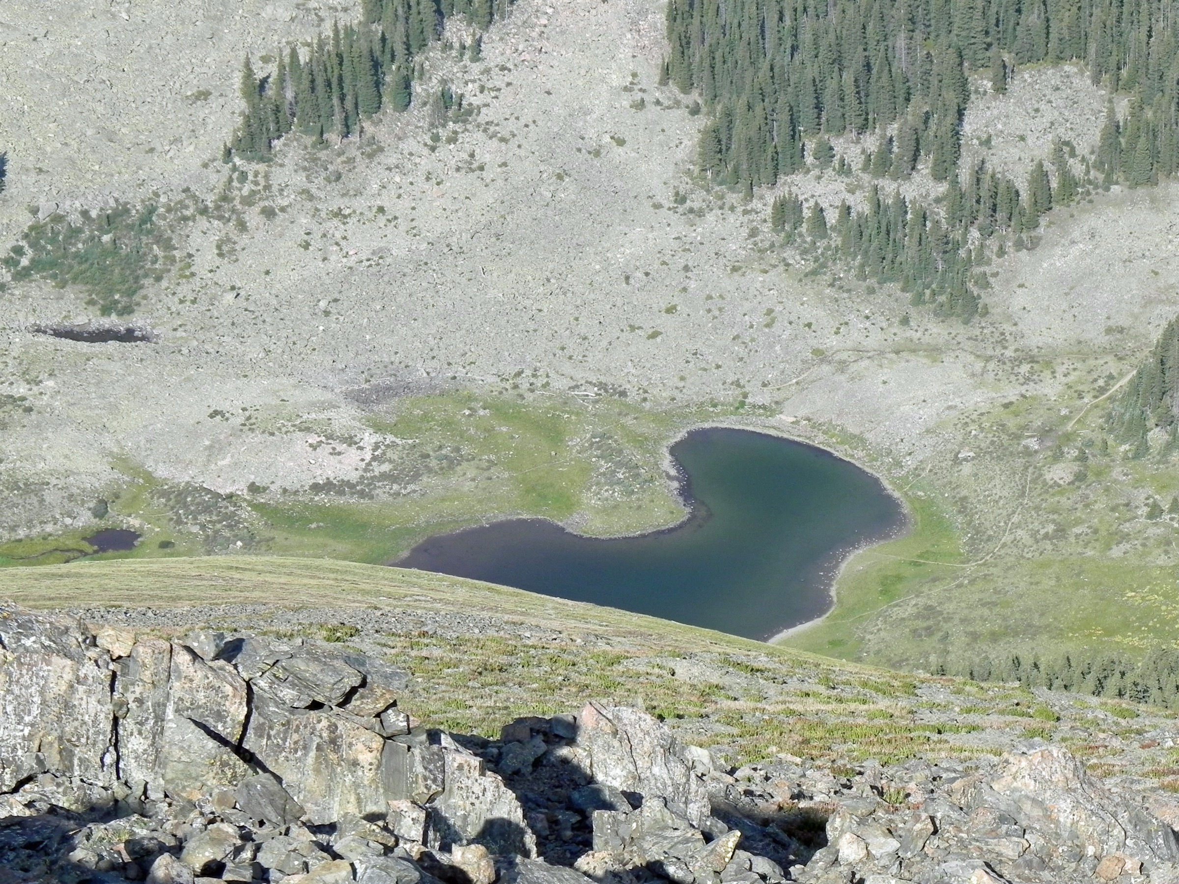
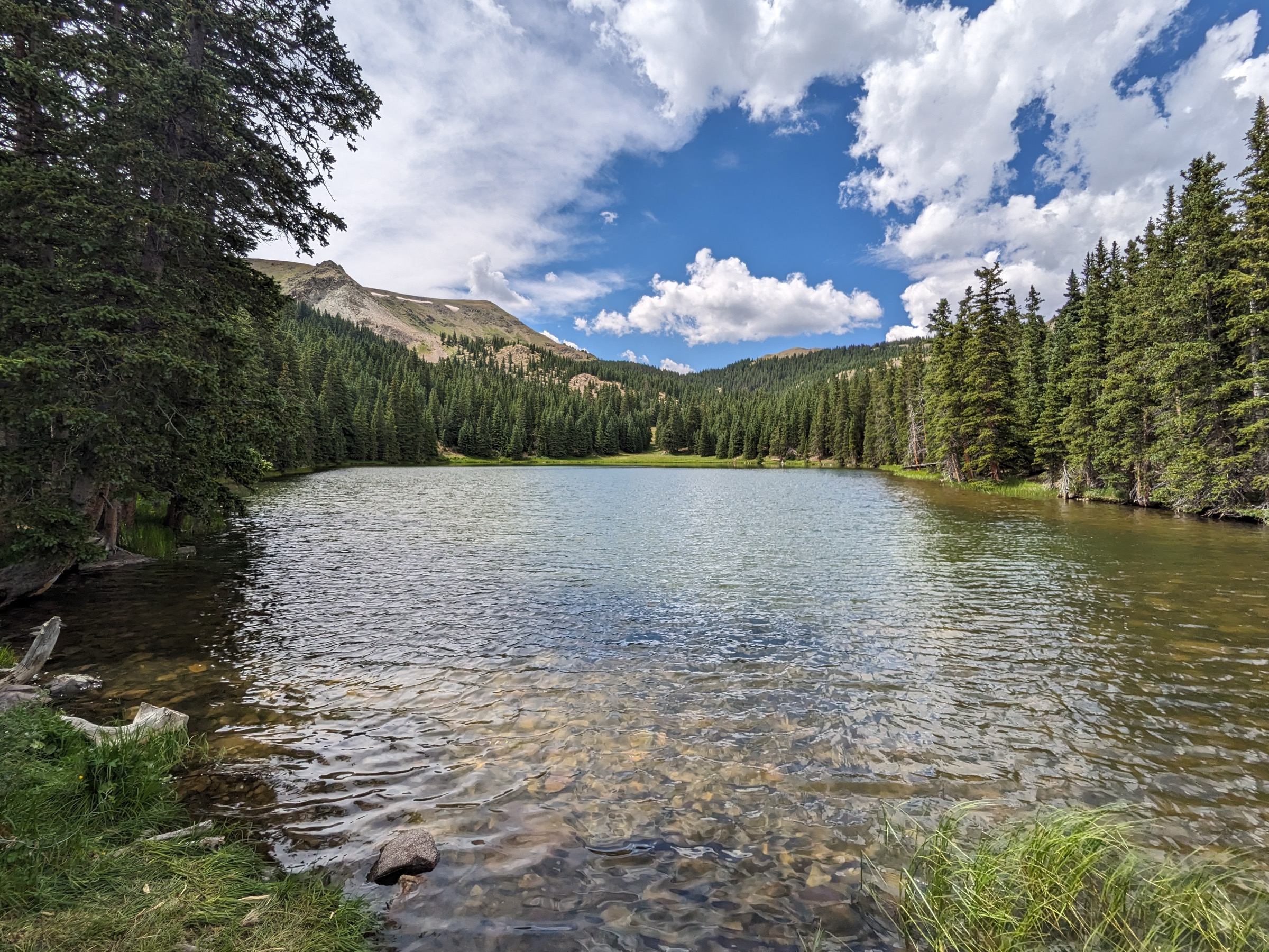
At approximately 6.5 km the trail meets the junction with the Bull Creek Trail #85. The Lake Fork Trail bears right (east) and continues a further ~1 km, climbing through the last section of forest to emerge at Heart Lake — a small, near-heart-shaped alpine lake at 3,510 m sitting in a shallow cirque under the north ridge of Latir Peak. The lake is the source of the Lake Fork of Cabresto Creek. On clear days views open north to the Colorado Sangres and the Culebra Range. Return by the outbound route. Strong parties can extend the day by climbing from Heart Lake up onto Latir Mesa and along the ridge to Venado Peak (3,872 m) or Latir Peak, though this pushes total distance and gain into the range of ~22 km / ~1,150 m and requires competent above-treeline navigation.
Why it is essential
The Latir Peak Wilderness is the smallest and least visited of the three New Mexico Sangres wilderness areas, and Heart Lake is its signature destination — a heart-shaped alpine cirque lake at 3,510 m in a range where visitor numbers remain very low. The hike provides the deepest wilderness feel of the five in this catalogue and represents the northern (Colorado state-line) end of the New Mexico Sangres. Range guides consistently place it as the classic Latir day-hike.
Equipment
- Sturdy boots — rocky sections higher up
- Trekking poles recommended
- Extra warm layer and windproof shell
- Sun protection and hat
- 2–3 L water per person; streams present but treat any surface water
- Headtorch
- Bear-aware food storage
- Vehicle with adequate clearance for FR 134 and 134A
Hazards and notes
- The trail is generally well defined to Heart Lake but faint in places above the wilderness meadows; above the lake, off-trail routes to Latir Mesa can be obscure and rely on cairns.
- Afternoon thunderstorms during monsoon (July to early September) are a concern on the ridges above Heart Lake.
- Snow lingers on north-facing slopes into June and can return in October.
- No permits are required for day use of the Latir Peak Wilderness. No camping within 90 m (300 ft) of Heart Lake per Carson NF guidance.
- Dogs must be under control. Bighorn sheep and mountain goats have been seen on the Latir ridges.
- FR 134A can wash out during monsoon rain; check road status with the Questa Ranger District.
Routes excluded as out of scope
The following sit inside or adjacent to the northern New Mexico Sangres but fall outside a day-hike entry, are too duplicative of the five above, or are better understood as overnights or technical trips.
- Truchas Peak (South Truchas, 3,995 m). The range’s second summit, but the accepted approach from Jack’s Creek is 40–50 km round trip with ~1,800 m gain; realistically a 2–3-day trip, and the trailhead was closed for reconstruction at time of research.
- Trampas Lakes. A classic Pecos lake basin from the west, but editorially redundant with Lake Katherine as a Pecos cirque lake and served by a rougher access road.
- Serpent Lake. A quieter Pecos lake from the north-east (Santa Barbara), but a longer approach without the character of Lake Katherine.
- Bull-of-the-Woods Pasture alone. A shorter Wheeler Peak Wilderness objective, but covered better as a loop variant to entry 1 than as a separate outing.
- Nambe Lake. A short cirque-lake spur off the Winsor Trail, but too duplicative of Williams Lake and of the Santa Fe Baldy line as an alpine cirque destination.
- Middle and North Truchas Peaks. Adjacent 13ers to South Truchas, but scramble-grade objectives well beyond a day-hike catalogue.
- Sangres north of the state line (Crestones, Blanca group, Great Sand Dunes). A separate Colorado sub-range covered elsewhere.
Further reading
| Source | URL |
|---|---|
| USFS Carson National Forest — official page | fs.usda.gov |
| USFS Santa Fe National Forest — official page | fs.usda.gov |
| USFS Carson NF — Wheeler Peak Summit Trail #67 | fs.usda.gov |
| USFS Santa Fe NF — Winsor National Recreation Trail | fs.usda.gov |
| Wilderness.net — Wheeler Peak Wilderness | wilderness.net |
| Wilderness.net — Pecos Wilderness | wilderness.net |
| Wilderness.net — Latir Peak Wilderness | wilderness.net |
| ProTrails — Wheeler Peak via Williams Lake | protrails.com |
| SummitPost — Wheeler Peak (NM) | summitpost.org |
| SummitPost — Santa Fe Baldy | summitpost.org |
| SummitPost — Latir Peak | summitpost.org |
| Wikipedia — Sangre de Cristo Mountains | en.wikipedia.org |
| Wikipedia — Wheeler Peak (New Mexico) | en.wikipedia.org |
| Wikipedia — Pecos Wilderness | en.wikipedia.org |
| Wikipedia — Santa Fe Baldy | en.wikipedia.org |
| Wikipedia — Latir Peak Wilderness | en.wikipedia.org |
| Wikimedia Commons — Wheeler Peak (NM) category | commons.wikimedia.org |
| Wikimedia Commons — Pecos Wilderness category | commons.wikimedia.org |
| Wikimedia Commons — Latir Peak Wilderness category | commons.wikimedia.org |
| OpenStreetMap (ODbL 1.0) | openstreetmap.org |