Regional overview
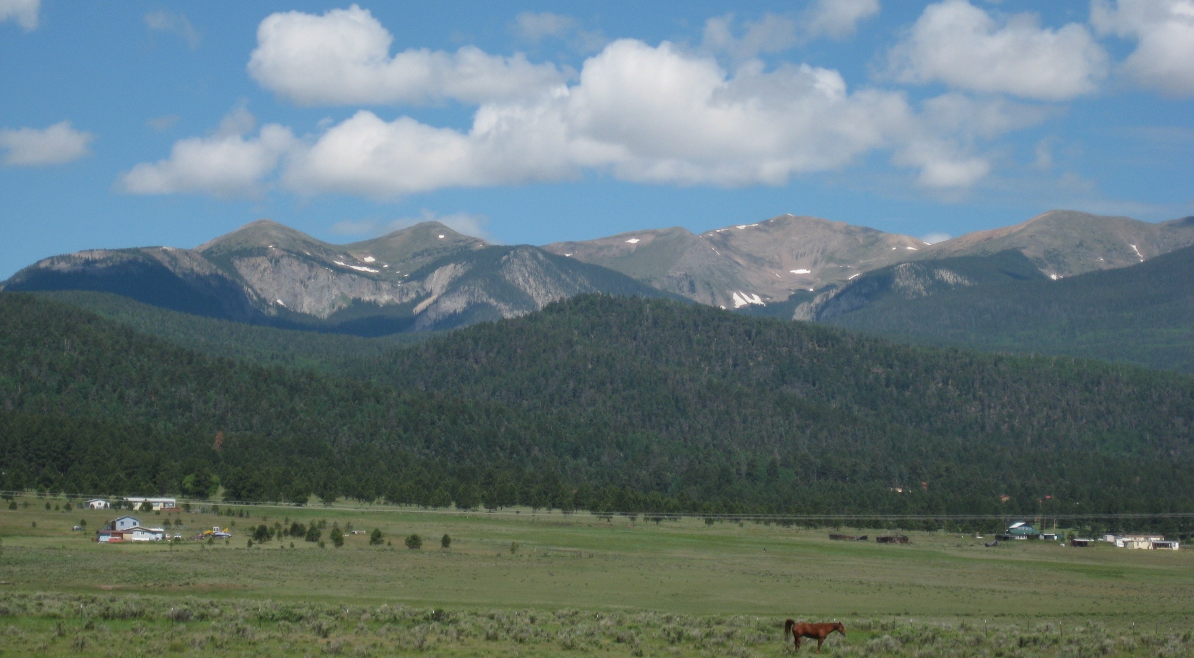
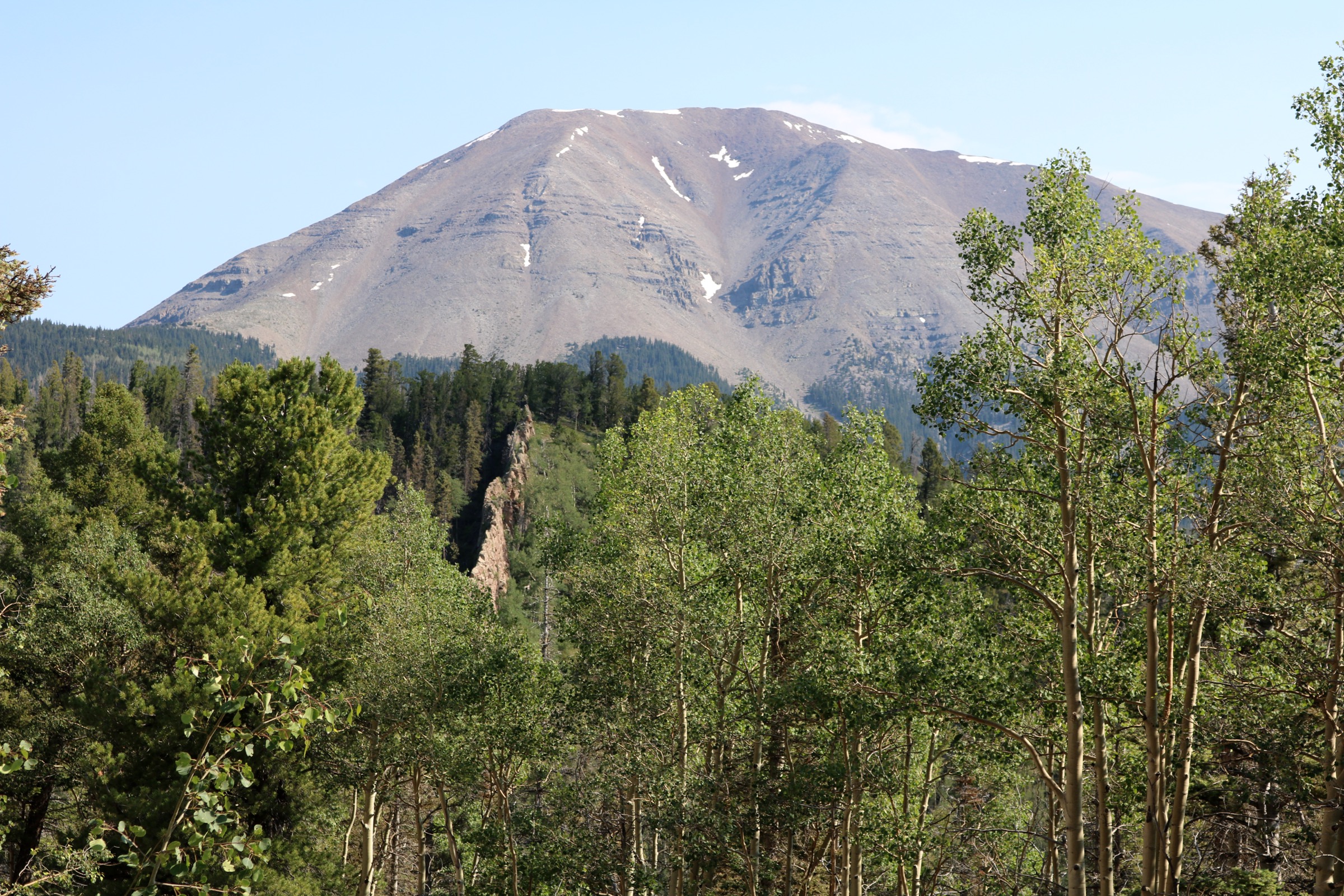
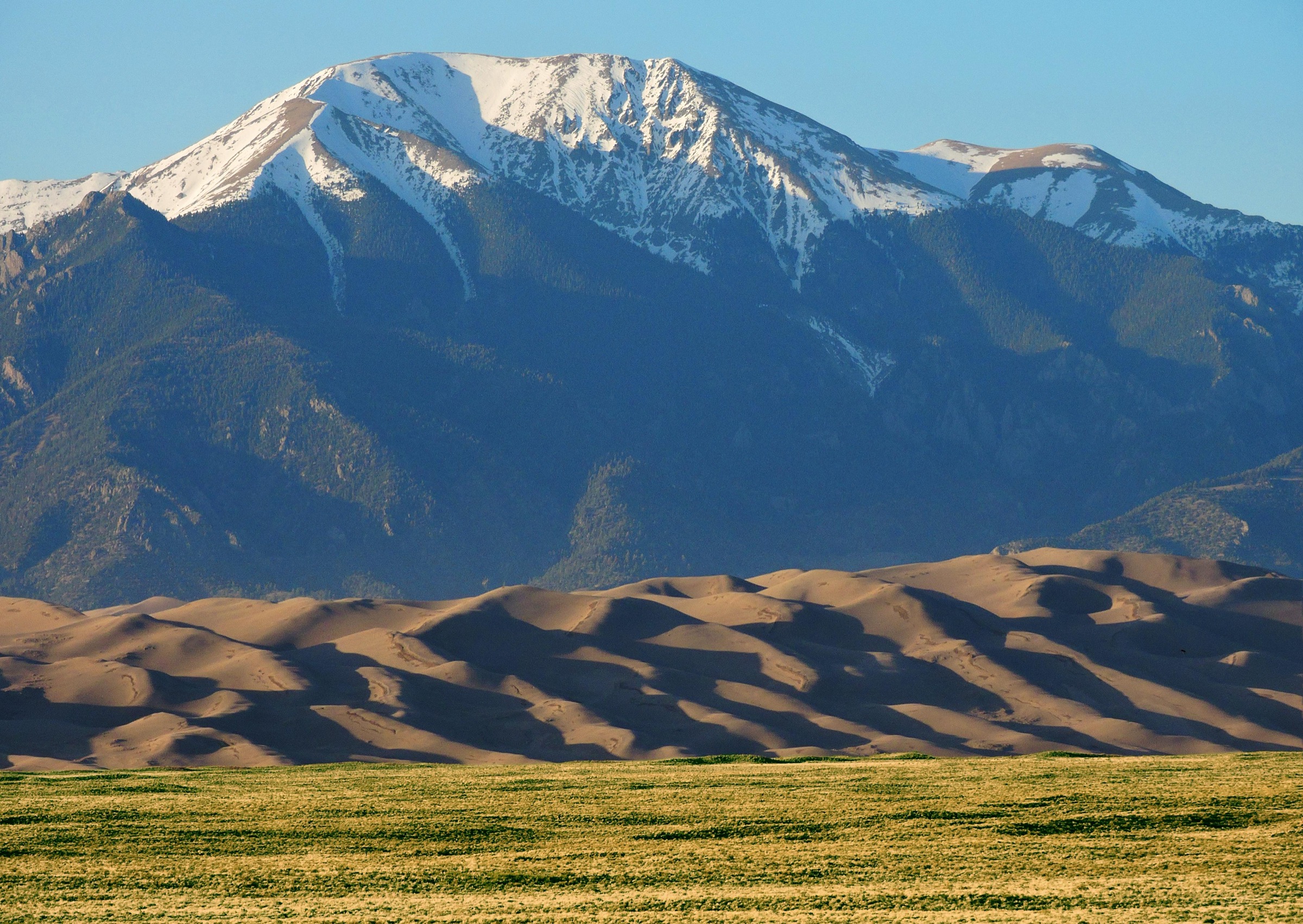
The Crestone group is the cluster of high summits at the head of the Sangre de Cristo Wilderness in south-central Colorado, spanning the boundary between Saguache and Custer counties and between the Rio Grande and San Isabel national forests. Within a two-kilometre radius sit Crestone Peak (4,357 m / 14,294 ft), Crestone Needle (4,327 m / 14,197 ft), Kit Carson Mountain (4,317 m / 14,165 ft) with its subsidiary summits Challenger Point and Columbia Point, Humboldt Peak (4,287 m / 14,064 ft) and Mount Adams (4,151 m / 13,619 ft). The Crestones are conglomerate — the coarse Crestone Conglomerate — which gives the rock its distinctive rough, high-friction surface but also produces the technical Class 3 and 4 lines that define Crestone Peak, Crestone Needle, Challenger Point and the Kit Carson traverse. The full Sangre de Cristo Wilderness covers 220,803 acres (roughly 894 km²) and was designated in 1993 under the Colorado Wilderness Act.
The range is a narrow, north–south fault-block. Access falls on two sides. The east side drains through the South Colony and North Colony basins to the Wet Mountain Valley near Westcliffe, and is reached from the town of Westcliffe by County Road 119 and Forest Service Road 120 (South Colony Road). FSR 120 has a lower 2WD lot at ~2,680 m on private ground and an upper 4WD trailhead at ~3,033 m on National Forest land, with 2.7 miles / 1,150 ft of high-clearance road between them; recent private-property signage prohibits overnight parking at the lower lot. The west side drains through Willow Creek, Spanish Creek, Cottonwood Creek and North Crestone Creek to the San Luis Valley and the town of Crestone (Baca Grande subdivision) and, further north, the village of Crestone proper on Highway 17. The Baca Grande and Crestone-town road grid provides direct road access to the Willow Creek and Spanish Creek trailheads, and the North Crestone Campground at the end of Forest Service Road 950 is the trailhead for the North Crestone drainage.
The walking season for the high routes runs from mid-July to late September in normal years. Snow lingers on shaded north- and east-facing slopes into July and returns by mid- to late-October. The North American Monsoon delivers near-daily afternoon thunderstorms from early July through mid-September; lightning above the extensive alpine benches and on the summit ridges is the range’s single most serious hazard, and early starts with a hard turnaround time are standard. Cell coverage is absent or unreliable across almost the whole wilderness.
The Class 3+ Fourteeners of the group — Crestone Peak, Crestone Needle, Challenger Point, Kit Carson and the Kit Carson–Challenger traverse — are technical scrambles on loose conglomerate and are excluded from this day-hike catalogue. They belong in a peak-bagging or mountaineering guide, not a general-fitness day-hiking one. Humboldt Peak is the exception: it is the only Class 2 Fourteener in the group and is included as the standard 14er day-hike. The four remaining routes concentrate on the classic alpine lake and forest-approach objectives that give the range its non-technical character. Designated wilderness rules apply throughout: no mechanised transport (including bicycles, e-bikes and drones), party-size limits of 15 people and 25 combined people and stock, dispersed-camping setbacks from lakes and streams. Black bear are common and food-storage discipline is standard.
The Sangres immediately south of this catalogue — the Culebra Range, Spanish Peaks and northern New Mexico Sangres — are covered in separate entries. The Blanca group to the south-east and Great Sand Dunes to the west also sit outside the scope of this Crestone entry.
See also: Spanish Peaks, southern Colorado day-hikes · Northern New Mexico Sangres day-hikes (Wheeler Peak, Pecos, Latir).
Selection rationale
The five hikes below span the group’s two main access sides, three watersheds and its full range of non-technical objectives. Humboldt Peak from South Colony Lakes is the only realistic Class 2 Fourteener in the group and is the natural top pick. South Colony Lakes is the essential east-side lake basin and doubles as the standard bivouac point for the technical Crestones; it stands on its own as a day objective. Willow Lake is the celebrated west-side cirque lake below Kit Carson, and the standard turnaround point before the Class 3 Challenger Point line begins. North Crestone Lake represents the quiet, north-western Saguache Ranger District side of the group and reaches an alpine tarn under Mount Adams and Fluted Peak. Rainbow Trail — Music Pass segment is the through-hiking counterpart, a moderate east-side pass day-hike over into the North Colony / Sand Creek Lakes basin. Together the five cover Fourteener summit, east-side cirque, west-side cirque, quiet Saguache-side lake and pass-crossing traverse.
Cottonwood Lake was considered but excluded: from the Cottonwood Creek Trailhead the round-trip is roughly 26 km with more than 900 m of gain on a rough, poorly marked lower alignment, which pushes it out of comfortable day-hike range for most parties and is better handled as an overnight. The Class 3+ Crestones (Crestone Peak, Crestone Needle, Challenger Point, Kit Carson and the traverse) are excluded as technical rather than day-hike terrain.
Summary table
| # | Hike | Country | Route type | Distance | Gain | Max elevation | Difficulty |
|---|---|---|---|---|---|---|---|
| 1 | Humboldt Peak via South Colony Lakes | USA | Out-and-back | 17.2 km | 1,270 m | 4,287 m | Strenuous |
| 2 | South Colony Lakes (upper lake) | USA | Out-and-back | 11.3 km | 490 m | 3,660 m | Moderate |
| 3 | Willow Lake from Crestone | USA | Out-and-back | 14.9 km | 850 m | 3,528 m | Hard |
| 4 | North Crestone Lake via Trail #744 | USA | Out-and-back | 11.3 km | 550 m | 3,617 m | Moderate |
| 5 | Music Pass and Lower Sand Creek Lake | USA | Out-and-back | 12.9 km | 610 m | 3,543 m | Moderate |
1. Humboldt Peak via South Colony Lakes
Snapshot
Itinerary
From the upper 4WD trailhead at approximately 3,033 m at the end of FSR 120, the trail climbs south-west on a well-used footpath into the South Colony Lakes basin, entering the Sangre de Cristo Wilderness within the first kilometre. The line follows the north side of South Colony Creek through spruce–fir forest and open avalanche paths, passing the outlet of Lower South Colony Lake at ~3,570 m and continuing to the shore of Upper South Colony Lake in the cirque directly under the north face of Crestone Needle.
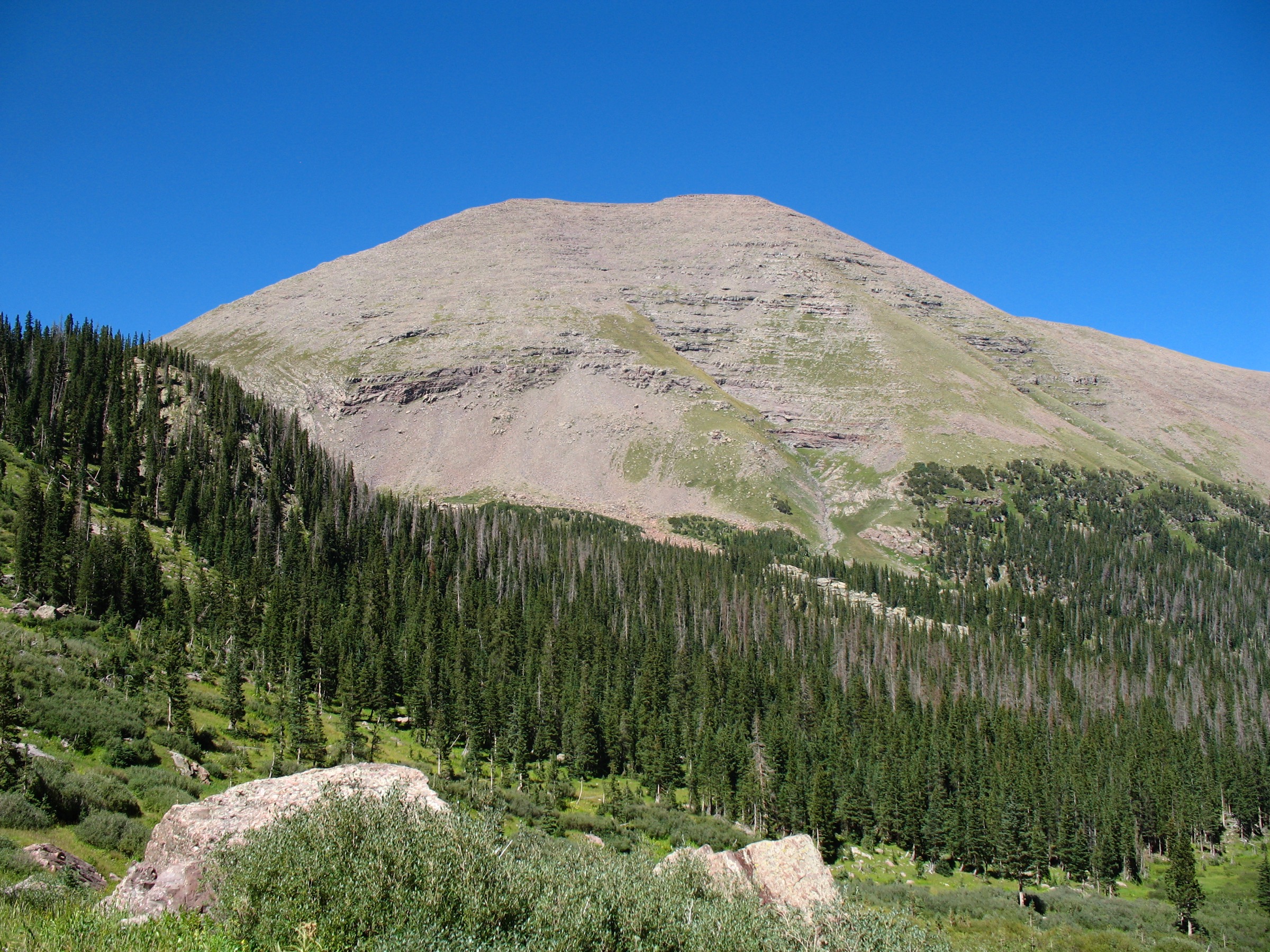
From near the lakes a signed spur climbs north-east on switchbacks up the open, tundra-and-scree slopes to the broad West Ridge saddle at ~3,930 m between Humboldt Peak and its subsidiary point 13,374 ft. The route then follows the ridge east on a well-trodden line through blockier terrain, with occasional cairns marking the best gullies through the summit-rock steps. The final 100 m to the summit is loose Class 2 scrambling on conglomerate blocks. The summit at 4,287 m sits above the north face and gives an unmatched view of Crestone Peak, Crestone Needle and the full South Colony cirque. Return by the outbound route.
Parties starting from the 2WD lower lot at ~2,680 m must walk (or 4WD) an additional 2.7 miles of rough forest road with ~350 m of extra ascent each way, adding roughly 9 km round-trip. Passenger cars cannot reach the upper trailhead; high-clearance 4WD is required. Overnight parking at the 2WD lot is currently prohibited by the private landowner (signage installed 2025) — parties without 4WD access must plan the ascent as a very long single-day push or arrange a shuttle.
Why it is essential
Humboldt Peak is the only Class 2 Fourteener in the Crestone group and the sole non-technical high summit of the range. It combines a full South Colony cirque approach, an open tundra ridge and a summit view directly onto the Crestone Peak–Needle wall that reveals the group’s technical peaks in a way no photograph can. As the standard 14er day-hike of the Crestones it is a non-negotiable inclusion.
Equipment
- Sturdy boots with ankle support for sustained scree and blocky Class 2
- Trekking poles strongly recommended for the descent
- Extra warm layer and windproof shell — summit temperatures are frequently 15–25 °C below the valley readings and wind is regularly severe
- 3 L water per person minimum; treat any water from South Colony Creek
- Sun protection: hat, sunglasses, high-SPF sunscreen for the exposed ridge
- Headtorch for early or late finishes on a long summer day
- Bear-aware food storage at the trailhead and at any bivouac
- Offline map and GPS backup; cell coverage is absent
Hazards and notes
- Altitude: the summit is above 4,200 m, and pace should reflect this. Prior acclimatisation is advisable.
- Afternoon thunderstorms are near-daily during monsoon (July to early September). Aim to be off the summit and off the exposed West Ridge by early afternoon.
- Snow lingers in the upper basin and on shaded ridge sections into July in normal years and can return by mid-October; microspikes may be useful in early season.
- Access is the controlling factor. FSR 120 above the 2WD lot requires a genuine high-clearance 4WD vehicle. The private-property 2WD lot at ~2,680 m does not permit overnight parking as of 2025.
- Sangre de Cristo Wilderness rules apply: no mechanised transport (including bicycles and drones), party-size limit 15 people and 25 combined people and stock, dispersed-camping setbacks from lakes and streams.
- Dogs must be under control. Bear-aware practice is standard.
GPX / route file
| Source | URL | Format / access | Reuse status |
|---|---|---|---|
| AllTrails — Humboldt Peak West Ridge | alltrails.com | Source map / downloadable route via AllTrails account | AllTrails terms apply; direct GPX not retrieved; source-map reference only |
| 14ers.com — Humboldt Peak West Ridge route | 14ers.com | Route description and source-map reference | 14ers.com terms apply; direct GPX not retrieved |
Further reading
- 14ers.com — Humboldt Peak
- Colorado Mountain Club — Humboldt Peak
- USDA Forest Service — San Carlos Ranger District
2. South Colony Lakes (upper lake)
Snapshot
Itinerary
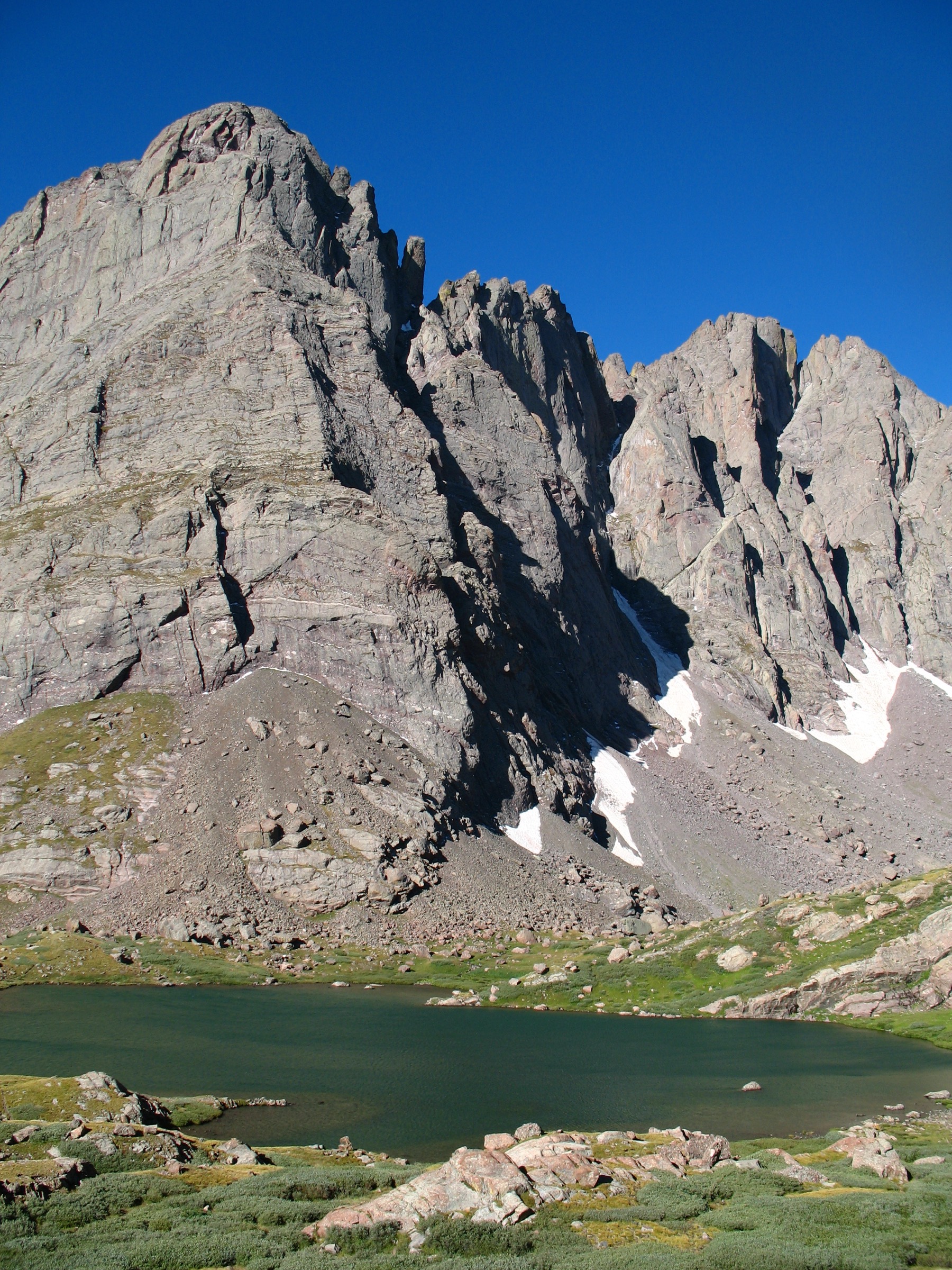
From the upper 4WD trailhead at ~3,033 m, follow the South Colony Lakes trail south-west into the wilderness. The tread contours the north side of South Colony Creek on a moderate grade through spruce–fir forest, crossing several small side-drainages before opening into the broad basin below the lakes. Lower South Colony Lake sits at ~3,570 m at the foot of the cirque, with Broken Hand Peak on its south side and the north face of Crestone Needle framing the head of the valley. A short continuation of the trail climbs a further ~90 m over ~600 m of tread to the shore of the Upper Lake at approximately 3,660 m, directly beneath the north-east face of Crestone Peak. Return by the outbound route.
The lakes basin is the standard bivouac area for parties attempting Crestone Peak, Crestone Needle, Broken Hand Pass and the Ellingwood Arête, but stands on its own as a strong day-hike destination for anyone not intending to scramble. It is the classic east-side cirque of the group.
Why it is essential
South Colony Lakes is the archetypal Crestone cirque and delivers the closest ground-level view of Crestone Peak, Crestone Needle, Broken Hand Peak and Humboldt Peak’s West Ridge available anywhere in the range. Combined with the shorter overall day and lower maximum elevation than Humboldt, it is a natural counterpart route for parties not committed to a 4,000 m summit push, and gives an essentially unmatched compact sample of the group’s alpine character.
Equipment
- Sturdy trail shoes or light boots
- Trekking poles helpful on rocky sections
- Warm layer and windproof shell — cirque holds cold air even in mid-summer
- Sun protection
- 2 L water per person, with treatment for stream water
- Headtorch if starting late
- Bear-aware food storage
- Offline map
Hazards and notes
- Access via FSR 120 above the 2WD lot requires high-clearance 4WD; parking constraints apply at the 2WD lot (no overnight, private land, 2025 signage).
- Afternoon thunderstorms during the monsoon are the main hazard; the cirque itself offers some shelter but exposed slabs near the lakes carry lightning risk.
- Snow can linger on shaded shore sections into July.
- No camping within the standard wilderness setbacks from lake shores; group-size and stock limits apply.
- Dogs must be under control.
GPX / route file
| Source | URL | Format / access | Reuse status |
|---|---|---|---|
| AllTrails — South Colony Lakes Trail | alltrails.com | Source map / downloadable route via AllTrails account | AllTrails terms apply; direct GPX not retrieved; source-map reference only |
| 14ers.com — South Colony Lakes Trailhead | 14ers.com | Trailhead / route reference | 14ers.com terms apply |
Further reading
3. Willow Lake from Crestone
Snapshot
Itinerary
From the Willow Creek Trailhead at the end of the graded road above the Baca Grande subdivision east of Crestone, the trail climbs east into the Sangre de Cristo Wilderness on a series of switchbacks through ponderosa pine and Douglas fir. The lower alignment is well graded and gains altitude steadily; roughly 2 km in the trail levels briefly as it enters the true canyon of Willow Creek. From here it rises alongside the creek through mixed conifer and small aspen groves.
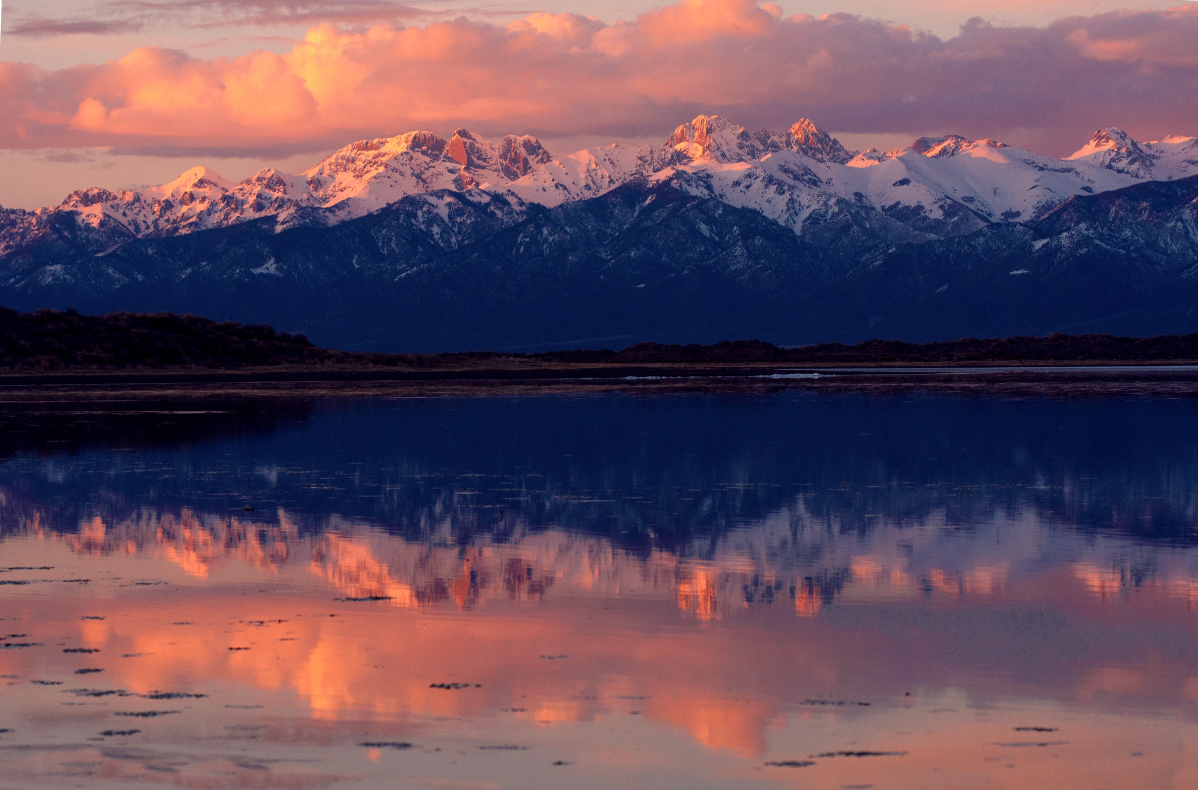
The middle section passes a series of waterfalls and cascades — the Willow Creek falls sequence is one of the range’s signature features and is visible from the trail in several places. Higher up, the tread swings north-east into open sub-alpine meadow and continues to the outlet of Willow Lake at approximately 3,528 m. The lake sits in a rock-walled cirque directly beneath the north face of Kit Carson Mountain and Challenger Point, with a small cascade dropping into its outlet just below the shore. Return by the outbound route.
The trail continues beyond the lake as the standard Challenger Point / Kit Carson approach — a Class 2+/3 line on loose rock that is not a day-hike objective. Day-hikers should turn round at the lake shore.
Why it is essential
Willow Lake is the classic west-side cirque of the Crestone group and the natural counterpart to South Colony Lakes on the east. It gives a direct view onto the north wall of Kit Carson and Challenger, a striking waterfall sequence on the ascent, and a real Sangre de Cristo Wilderness feel from a road-side trailhead in the town of Crestone. No day-hike catalogue of the group can omit it.
Equipment
- Sturdy boots or hiking shoes
- Trekking poles recommended for the sustained descent
- Extra warm layer — cirque is cold even in mid-summer
- Sun protection
- 2.5 L water per person; treat any stream water
- Headtorch
- Bear-aware food storage
- Offline map
Hazards and notes
- Afternoon thunderstorms during monsoon (July to early September) can develop rapidly on the upper open sections.
- Parking at the Willow Creek Trailhead fills on summer weekends; access is via the Baca Grande road grid and the Willow Creek road, which is rough but generally passable to standard passenger cars in dry conditions. Confirm current road status with the Saguache Ranger District if conditions are wet.
- Baca Grande POA parking restrictions apply on the residential roads below the trailhead — park only in the designated Willow Creek Trailhead lot.
- Wilderness regulations apply throughout: no mechanised transport, no drones, group-size limits, camping setbacks from lake shores.
- Dogs must be under control.
- Cell service is absent above the trailhead.
GPX / route file
| Source | URL | Format / access | Reuse status |
|---|---|---|---|
| AllTrails — Willow Lake Trail | alltrails.com | Source map / downloadable route via AllTrails account | AllTrails terms apply; direct GPX not retrieved; source-map reference only |
| Hiking Project — Willow Lake Trail | hikingproject.com | Source-map page | Hiking Project / Adventure Projects terms apply |
| 14ers.com — Willow Creek Trailhead | 14ers.com | Trailhead / route reference | 14ers.com terms apply |
Further reading
- USDA Forest Service — Rio Grande NF, Sangre de Cristo Region
- 14ers.com — Willow Creek Trailhead
- Hiking Project — Willow Lake Trail
4. North Crestone Lake via Trail #744
Snapshot
Itinerary
From the trailhead at the top of the North Crestone Campground at ~2,612 m, North Crestone Creek Trail #744 climbs east-south-east up the North Crestone drainage on a well-defined line through mixed spruce, fir and aspen. The tread is moderate and steady for the first several kilometres, with occasional stream crossings and open meadow interludes. The wilderness boundary lies just above the campground.
At roughly 3 km the trail meets the junction with the North Crestone Trail #746 to the north, which climbs over Comanche Pass into the Wet Mountain Valley. The Trail #744 line continues east up the main drainage, climbing more steadily through krummholz and open tundra toward the head of the basin. North Crestone Lake sits at approximately 3,617 m in a shallow cirque under the north-west flank of Fluted Peak and Mount Adams, one of the quieter high tarns in the wilderness. Return by the outbound route. Extension to Comanche Pass or the summit of Mount Adams (13,619 ft) is possible but pushes the day out of standard day-hike range and requires competent above-treeline navigation on faint tread.
Why it is essential
North Crestone Lake is the essential Saguache Ranger District day-hike into the northern end of the Crestone group. It approaches from Crestone town and the North Crestone Campground rather than from Baca Grande or the east-side 4WD access, and lands on a genuine alpine tarn under Fluted Peak and Mount Adams with far lower foot traffic than either the South Colony basin or Willow Lake. It rounds out the west-side coverage of the catalogue with the group’s quieter, more remote character.
Equipment
- Sturdy trail shoes or light boots
- Trekking poles helpful on the descent
- Warm layer and windproof shell — the basin holds cold air
- Sun protection
- 2 L water per person, with treatment for stream water
- Headtorch if starting late
- Bear-aware food storage
- Offline map — several junctions are signed but tread can be faint near the lake
Hazards and notes
- Afternoon lightning during monsoon is a genuine concern on the exposed upper meadow and around the lake.
- Snow can linger in the basin into early July and can return by early October.
- FR 950 above Crestone is graded gravel and generally passenger-car passable when dry; check current road status with the Saguache Ranger District during or after monsoon.
- Wilderness regulations apply throughout: no mechanised transport, no drones, group-size limits.
- Dogs must be under control. Bear-aware practice is standard.
- Cell service is absent above the campground.
GPX / route file
| Source | URL | Format / access | Reuse status |
|---|---|---|---|
| COTREX — North Crestone Trail | trails.colorado.gov | Colorado Trails Explorer geometry / source map | COTREX terms apply; direct GPX not retrieved; source-map reference only |
| AllTrails — North Fork Crestone Trail | alltrails.com | Source map / downloadable route via AllTrails account | AllTrails terms apply; direct GPX not retrieved |
Further reading
- USDA Forest Service — Rio Grande NF, Sangre de Cristo Region
- Colorado Trails Explorer — North Crestone Trail
- Colorado Mountain Club — North Crestone Lake
5. Music Pass and Lower Sand Creek Lake
Snapshot
Itinerary
From the upper Music Pass Trailhead at ~3,120 m at the top of FSR 119, the trail climbs south-west on a well-graded line through spruce–fir forest and open meadow to the crest of Music Pass at approximately 3,543 m. The pass sits on the main divide of the range and gives one of the best summit-to-summit views into the Crestone group available anywhere from a marked trail — Tijeras Peak, Music Mountain, Milwaukee Peak and, beyond them, the north side of Crestone Peak.
From the pass the trail drops south-west into the head of the Sand Creek drainage on switchbacks through krummholz and open tundra. After roughly 2 km and 300 m of descent, a signed spur turns west to Lower Sand Creek Lake at approximately 3,415 m, a sub-alpine cirque lake below Tijeras Peak and Music Mountain. Return by the outbound route over the pass to the trailhead.
Parties starting from the lower 2WD Music Pass Trailhead add roughly 3.2 km each way and approximately 300 m of extra ascent on the FSR 119 road walk; total round-trip from the 2WD start is roughly 19 km. FSR 119 above the 2WD lot is a rough 4WD-only track.
Why it is essential
Music Pass is the only maintained pass crossing in the immediate Crestone group and the range’s classic east-to-west traverse on foot. From the pass the view into the group is direct and unfiltered by forest, and the Sand Creek basin on the west side is one of the quieter west-side sub-alpine drainages. As a moderate pass-and-lake day, it complements the more strenuous Humboldt and Willow Lake outings and provides the catalogue’s traverse route.
Equipment
- Sturdy trail shoes or light boots
- Trekking poles helpful on the descent to Lower Sand Creek Lake
- Extra warm layer and windproof shell — the pass is fully exposed
- Sun protection
- 2 L water per person, with treatment for stream water
- Headtorch
- Bear-aware food storage
- Offline map
Hazards and notes
- Music Pass is fully exposed and lightning risk during monsoon is significant; aim to be over the pass and off the ridgeline well before mid-afternoon.
- FSR 119 above the 2WD lot requires high-clearance 4WD; parties without capable vehicles must plan for the extra road walk.
- Snow can linger on the north-facing pass descent into mid-July.
- Wilderness regulations apply throughout: no mechanised transport, no drones, group-size limits, camping setbacks from lake shores. Note that Great Sand Dunes National Park and Preserve boundary lies further down the Sand Creek drainage; the immediate hike stays within Sangre de Cristo Wilderness on National Forest land.
- Dogs must be under control.
GPX / route file
| Source | URL | Format / access | Reuse status |
|---|---|---|---|
| AllTrails — Music Pass and Lower Sand Creek Lake | alltrails.com | Source map / downloadable route via AllTrails account | AllTrails terms apply; direct GPX not retrieved; source-map reference only |
| USDA Forest Service — Music Pass Trailhead (San Isabel NF) | fs.usda.gov | Official trailhead / recreation page | Access and route context; no GPX published |
Further reading
- USDA Forest Service — Sangre de Cristo Wilderness (Pike-San Isabel NF)
- Wilderness.net — Sangre de Cristo Wilderness
Routes excluded as out of scope
The following sit inside the Crestone group but fall outside a day-hike catalogue, are too duplicative of the five above, or are better understood as technical or overnight trips.
- Crestone Peak, Crestone Needle, Challenger Point, Kit Carson Mountain and the Kit Carson–Challenger traverse. These are the group’s Class 3 to 4 Fourteeners on loose Crestone Conglomerate. They belong in a technical mountaineering or scrambling guide, not a general-fitness day-hike catalogue.
- Broken Hand Pass to Cottonwood Lake or the Peak–Needle traverse. Class 3 loose ground, out of scope.
- Cottonwood Lake from Cottonwood Creek Trailhead. ~26 km round-trip with more than 900 m of gain on a rough, poorly marked lower alignment; better as an overnight than a day.
- Ellingwood Arête and the north face of Crestone Needle. Technical rock routes.
- Mount Adams (13,619 ft) as a summit day-hike. The summit is off-trail from the North Crestone drainage on faint tread and blockfield and is a competent-mountaineer objective rather than a general day-hike; the lake-level route in entry 4 is the correct day-hike expression of the drainage.
Further reading
| Source | URL |
|---|---|
| USDA Forest Service — Sangre de Cristo Wilderness (Pike-San Isabel NF) | fs.usda.gov |
| USDA Forest Service — Rio Grande NF, Sangre de Cristo Region | fs.usda.gov |
| USDA Forest Service — San Carlos Ranger District | fs.usda.gov |
| Wilderness.net — Sangre de Cristo Wilderness | wilderness.net |
| Colorado Fourteeners Initiative | 14ers.org |
| 14ers.com — Humboldt Peak | 14ers.com |
| 14ers.com — South Colony Lakes Trailhead | 14ers.com |
| 14ers.com — Willow Creek Trailhead | 14ers.com |
| Colorado Trails Explorer (COTREX) | trails.colorado.gov |
| Colorado Mountain Club — Humboldt Peak | cmc.org |
| Hiking Project — Willow Lake Trail | hikingproject.com |
| AllTrails — Sangre de Cristo Wilderness | alltrails.com |
| Wikipedia — Sangre de Cristo Wilderness | en.wikipedia.org |
| Wikipedia — Crestone Peak | en.wikipedia.org |
| Wikipedia — Crestone Needle | en.wikipedia.org |
| Wikipedia — Humboldt Peak (Colorado) | en.wikipedia.org |
| Wikipedia — Kit Carson Mountain | en.wikipedia.org |
| Wikimedia Commons — Category: Sangre de Cristo Wilderness | commons.wikimedia.org |
| Wikimedia Commons — Category: Crestone Peak | commons.wikimedia.org |
| OpenStreetMap (ODbL 1.0) | openstreetmap.org |