Regional overview
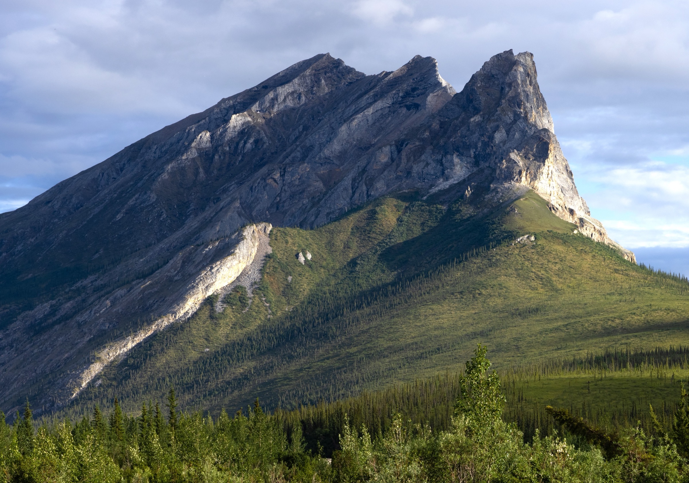
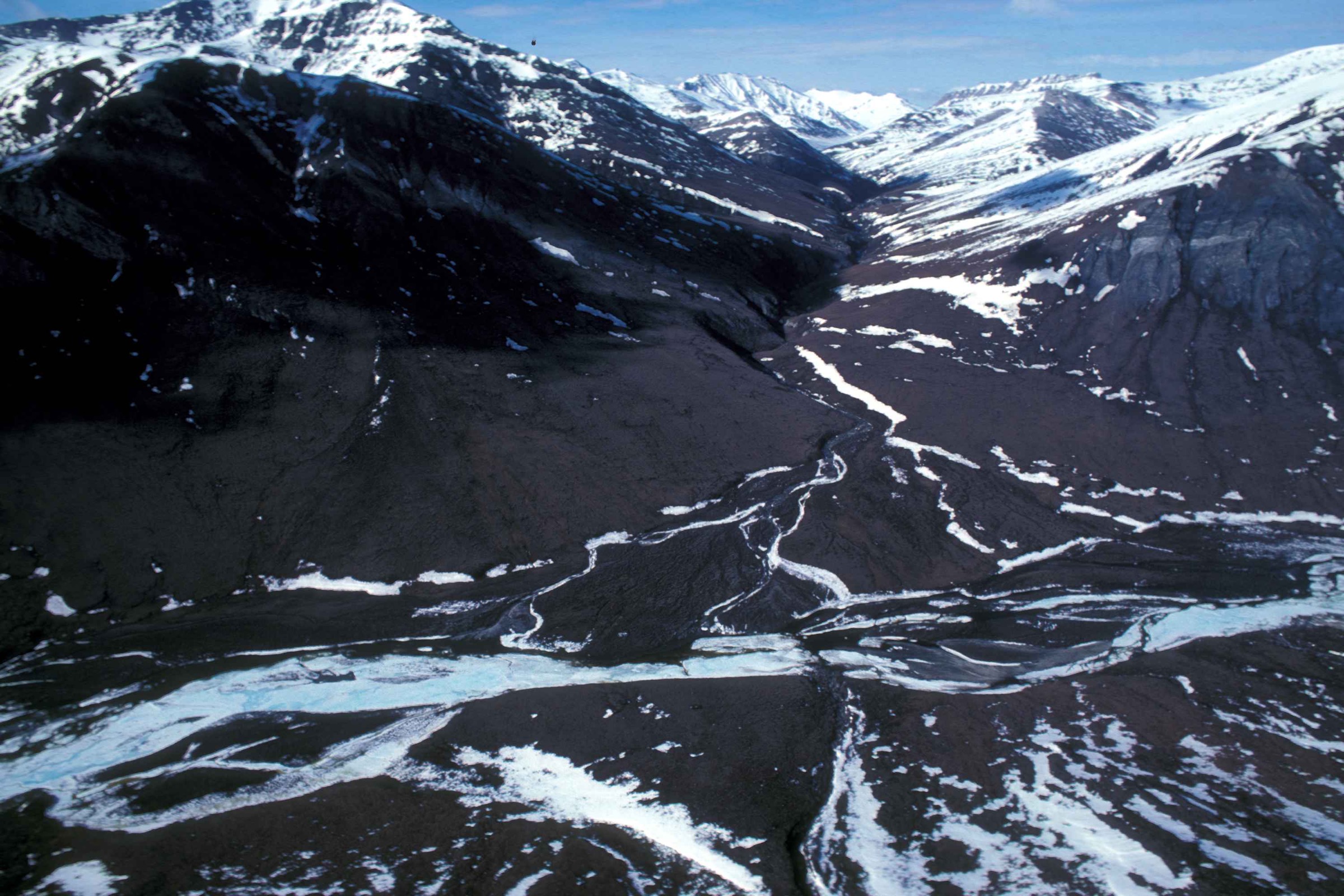
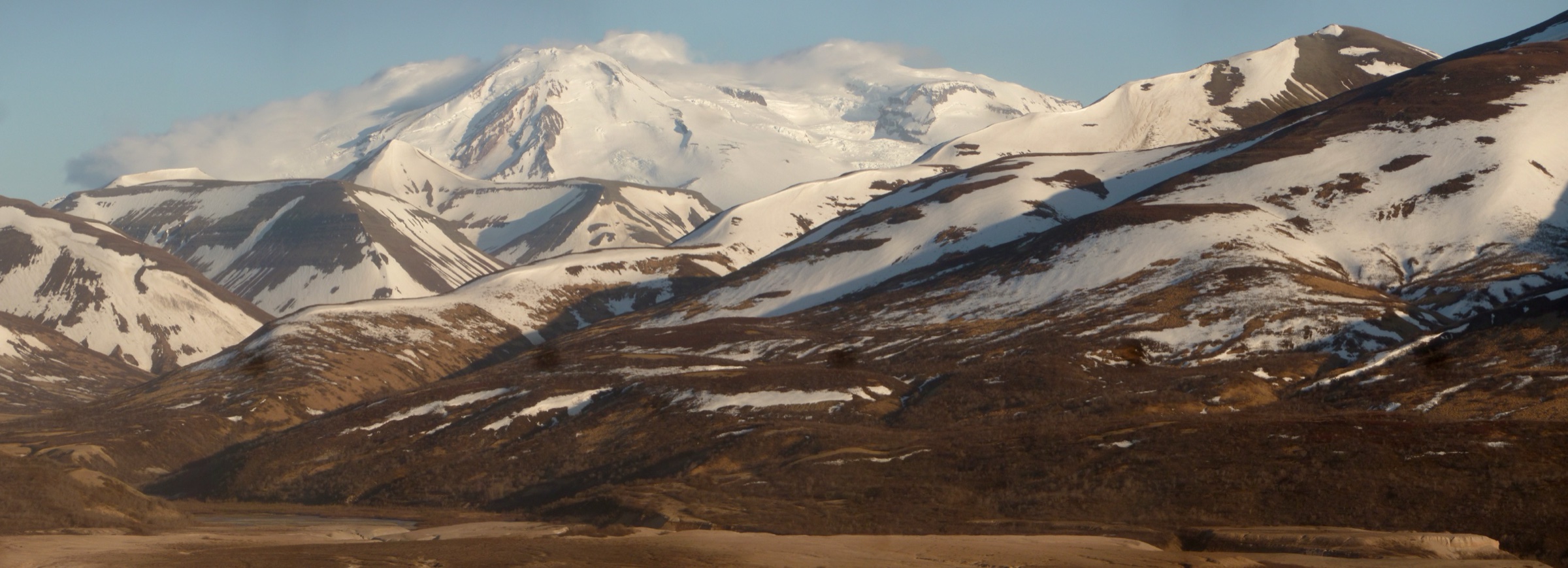
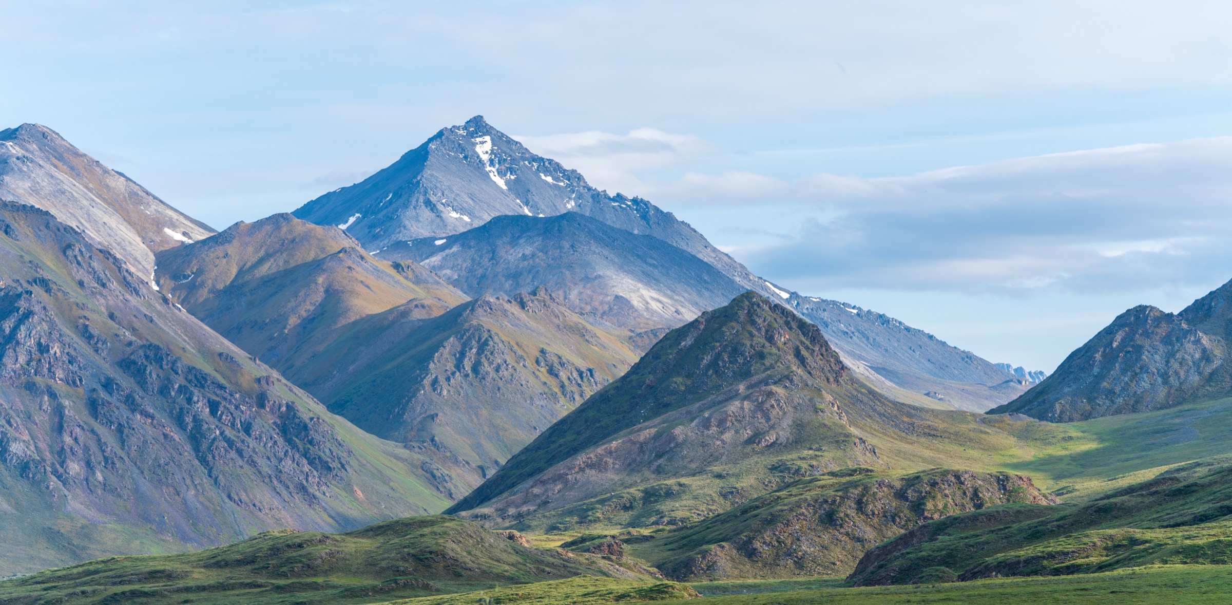
The Eastern Brooks Range runs from the Philip Smith Mountains east across the Franklin, Romanzof, and British Mountains to the Canadian border, where it continues into the Yukon’s Ivvavik National Park as the same range under a different name. Almost all of the eastern sector lies within the Arctic National Wildlife Refuge (ANWR), administered by the U.S. Fish and Wildlife Service. The refuge covers the northern flank of the range, the coastal plain running down to the Beaufort Sea, and the highest peaks in the American Arctic — Mount Chamberlin (2,713 m per the 2014 FODAR remeasurement) and Mount Isto (2,736 m, now recognised as the highest peak north of the Arctic Circle in the United States).
There are no maintained trails and almost no infrastructure of any kind in the Eastern Brooks Range. USFWS is explicit that the refuge is a wilderness area with no marked routes, no signage, no bridges, and no visitor centres inside the boundary. Access is by chartered bush plane from Fairbanks, Bettles, Coldfoot, Deadhorse, or Kaktovik, or by driving to the western edge of the refuge along the Dalton Highway around the Atigun River and Galbraith Lake. Any day hike in this sub-region is therefore either a Dalton-Highway corridor walk or a fly-in base-camp walk with recognised guiding and pilot practice.
The recognised hiking season runs from mid-June to late August. Cold rain, wind, dense mosquitoes, unbridged river crossings, and grizzly encounters can be part of any summer trip; snow can occur at ridge elevation in any month, and on the coastal plain the polar-bear risk changes the character of walking. Wilderness first-aid capability, satellite communication, bear-aware conduct, and — on the coast — an armed local guide are baseline requirements. The Central Brooks Range and Gates of the Arctic day-hike catalogue is the sister entry immediately west.
The Eastern Brooks Range is Iñupiat and Gwich’in homeland. The Iñupiat village of Kaktovik on Barter Island, inside the refuge boundary, and the Gwich’in villages of Arctic Village and Venetie south of the range use these landscapes as active subsistence country. The political status of the coastal-plain “1002 Area” has been actively contested through 2025–2026; the refuge itself remains a designated wilderness under USFWS management.
Selection rationale
The selected hikes reflect what is genuinely walkable in the Eastern Brooks Range as day trips. Two Dalton-Highway approaches on the west edge (Atigun Gorge; Atigun River tundra walking) give road-accessible options; three fly-in walks — a Sadlerochit / Jago valley base-camp tundra day, a coastal-plain 1002-Area walk from a fly-in camp, and a Kaktovik / Barter Island beach walk with a local armed guide — give the honest ANWR interior and coastal experience. None are trail hikes in the lower-48 sense.
Summary table
| # | Hike | Country | Route type | Distance | Gain | Max elevation | Difficulty |
|---|---|---|---|---|---|---|---|
| 1 | Atigun Gorge from the Dalton Highway | USA | Off-trail out-and-back on gorge benches | 8–12 km | 200–400 m | Variable | Moderate |
| 2 | Atigun River tundra walk from Galbraith Lake | USA | Off-trail out-and-back on tundra | 8–14 km | 200–500 m | Variable | Moderate |
| 3 | Sadlerochit / Jago valley base-camp tundra walk | USA | Off-trail out-and-back from fly-in camp | 10–16 km | 400–800 m | Variable | Moderate to hard |
| 4 | ANWR coastal-plain 1002-Area walk from a fly-in camp | USA | Off-trail out-and-back on coastal plain | 6–12 km | Minimal | ≤ 50 m | Easy to moderate |
| 5 | Kaktovik / Barter Island guided beach walk | USA | Guided out-and-back on barrier-island beach | 4–8 km | Minimal | Sea level | Easy (guided) |
1. Atigun Gorge from the Dalton Highway
Snapshot
Itinerary
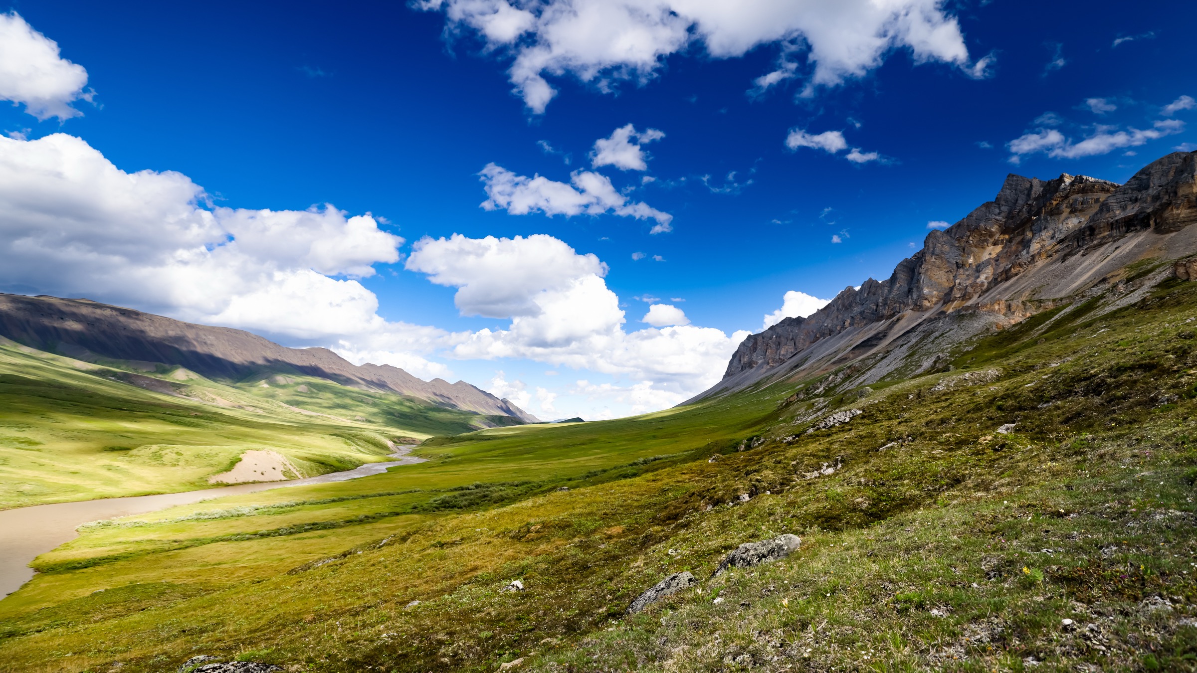
The route drops off the Dalton Highway to the Atigun River and works east into the gorge, following gravel bars and low tundra benches beside the river. The gorge is the natural entry to the western edge of the Arctic National Wildlife Refuge on foot — walking a few kilometres in gives a clear read of the north-slope tundra corridor and, in strong light, sight lines toward the Franklin Mountains. Return follows the outbound line back to the highway.
Why it is essential
Atigun Gorge is the closest genuine ANWR-adjacent walking accessible from a road, and the practical way to touch the refuge’s western edge without a bush plane. It complements the Dalton Highway Sukakpak and Galbraith Lake objectives by giving a river-corridor scene rather than a peak or a lake basin.
Equipment
Backcountry hiking equipment for a full day: waterproof boots, gaiters, layered clothing, wind shell, insect head-net, hat, map/GPS with pull-off coordinates, satellite communicator, bear spray. Water can be filtered from the river; surface water on the benches is limited.
Hazards and notes
The Atigun River is a swift Arctic stream; wading side channels is possible but demands judgement and a good look at flow before commitment. Grizzly bears use the willow. Traffic on the Dalton Highway is fast; step well clear of the road at both departure and return. Cell service is nil.
GPX / KML links
Further reading
2. Atigun River tundra walk from Galbraith Lake
Snapshot
Itinerary
The route starts at the BLM Galbraith Lake campground and works east along tundra shoulders parallel to the Atigun River, toward the western edge of the Arctic National Wildlife Refuge. Walking follows the natural line of the river bench with the Trans-Alaska Pipeline visible to the west as a return handrail. There is no marked route; turnaround is judgement-based and set by the party.
Why it is essential
This walk gives the north-slope tundra experience — the treeless, brown-and-green summer coastal-plain surface that defines the Arctic — from a road-accessible camp. It is the natural extension of the Galbraith Lake basin walk in the central catalogue toward the refuge boundary.
Equipment
As for Atigun Gorge: waterproof boots and gaiters are essential for the tussock tundra; a wind shell and insect head-net are baseline. Satellite communicator standard.
Hazards and notes
Tussock tundra is slow; distance planning should be conservative. Grizzly bears use the willow along the Atigun. The BLM campground has no potable water and no cell service. In warm July weather mosquito density can be extreme.
GPX / KML links
Further reading
3. Sadlerochit / Jago valley base-camp tundra walk
Snapshot
Itinerary
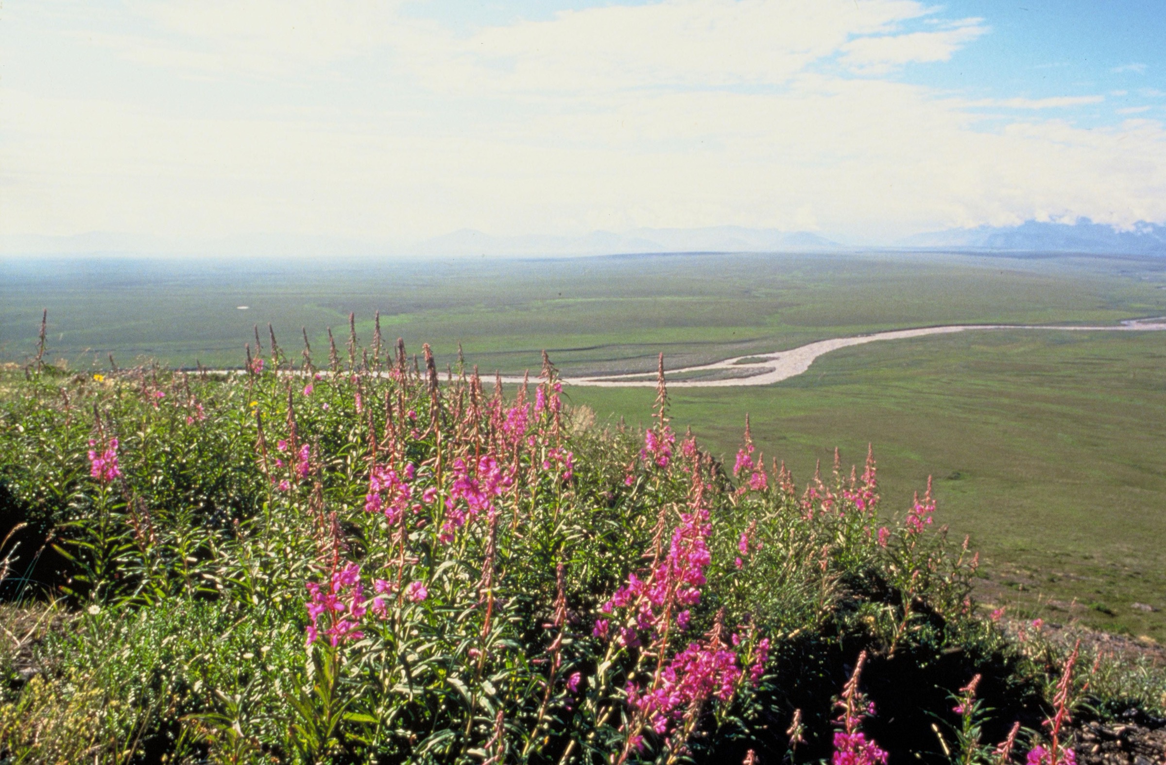
The route leaves a bush-plane base camp on a Sadlerochit, Jago, or Kongakut river gravel bar and climbs on tundra and low willow onto a shoulder above the valley. The Franklin and Romanzof Mountains rise to the south, with Mount Chamberlin at 2,713 m per the 2014 FODAR remeasurement and Mount Isto — now recognised as the highest peak in the United States north of the Arctic Circle at 2,736 m — dominating the skyline. Return follows the ascent line back to camp.
Why it is essential
The Sadlerochit and Jago valleys give the archetypal Eastern Brooks Range experience: high, treeless tundra beneath the highest peaks in the American Arctic, with no infrastructure, no visitors, and no marked routes. This is the honest ANWR interior day walk.
Equipment
Full backcountry equipment: waterproof boots, gaiters, layered clothing, wind shell, insect head-net, hat, map/GPS with camp coordinates, satellite communicator, bear spray. Water can be filtered from side creeks; the main rivers can be silty.
Hazards and notes
Weather changes quickly on the exposed benches; snow squalls are possible even in July. Tussock tundra is exhausting. Grizzly bears use the tundra shoulders. Rivers can rise several tens of centimetres within hours of a storm; camp placement should account for this. USFWS advises satellite communication and pre-arranged flight windows.
GPX / KML links
| Source | URL | Format / access | Reuse status |
|---|---|---|---|
| USFWS — Arctic National Wildlife Refuge: Plan Your Visit | fws.gov | Official access, permits, and safety information | Context only; no marked route file exists |
| USGS — Mt. Michelson / Demarcation Point 1:250,000 quadrangles | ngmdb.usgs.gov | Official topographic base for route planning | Public domain topographic data |
Further reading
- USFWS — Arctic National Wildlife Refuge
- Nolan and DesLauriers 2016 — FODAR remeasurement of Alaska’s highest Arctic peaks (The Cryosphere)
4. ANWR coastal-plain 1002-Area walk from a fly-in camp
Snapshot
Itinerary
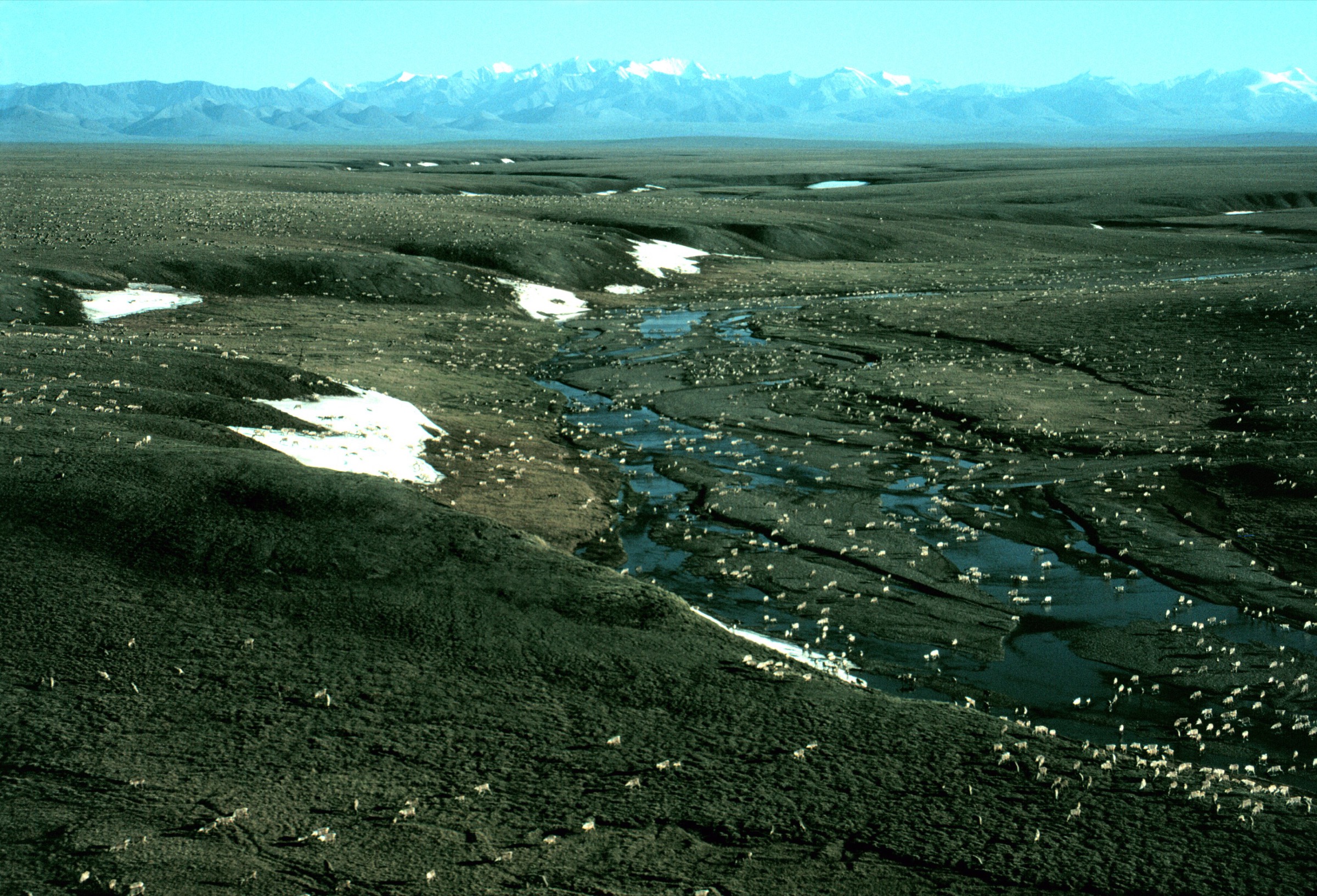
The route steps off a coastal-plain fly-in camp and walks a few kilometres out over wet tundra polygons, low pingos, and braided tundra streams. The Brooks Range rises as a dark blue-grey wall to the south; the Arctic Ocean lies invisibly beyond the horizon to the north. If the timing aligns with the Porcupine caribou herd’s post-calving aggregation, the plain is visibly active with caribou; otherwise the scene is a vast flat tundra emptiness. Turnaround is judgement-based.
Why it is essential
The 1002-Area coastal plain is the piece of American public land whose political status has been most actively contested since the 1980s — most recently through a 2025 executive-order-driven reopening to leasing, with legal proceedings ongoing through 2026. Standing on it is the most direct way to understand what the argument has been about. It is also one of the few Arctic places in the United States where herds of large mammals still visibly dominate the summer landscape.
Equipment
Backcountry equipment adapted for wet ground: fully waterproof boots or wader-style gaiters, quick-dry layers, wind shell, dense insect head-net (the coastal plain hosts extremely high summer mosquito densities), hat, satellite communicator, bear spray. Water is filterable from the tundra streams.
Hazards and notes
Weather can change quickly; low cloud can ground the return flight. Grizzly bears use the coastal plain and its river corridors; polar bears occur near the coast and along the sea-ice edge and are a serious consideration in the north half of the walking area — an armed local guide is standard practice on the coast itself. Camping and travel should follow USFWS bear-country practice and the local Kaktovik / North Slope Borough guidance. The area’s political status remains contested and can change during the 2026 season.
GPX / KML links
| Source | URL | Format / access | Reuse status |
|---|---|---|---|
| USFWS — Arctic National Wildlife Refuge: Coastal Plain | fws.gov | Official landform description and management context | Context only |
| USFWS — Arctic National Wildlife Refuge: Plan Your Visit | fws.gov | Official visitor / access information | Context only; no marked route file exists |
Further reading
- USFWS — Arctic National Wildlife Refuge
- USFWS — Coastal Plain of the Arctic National Wildlife Refuge
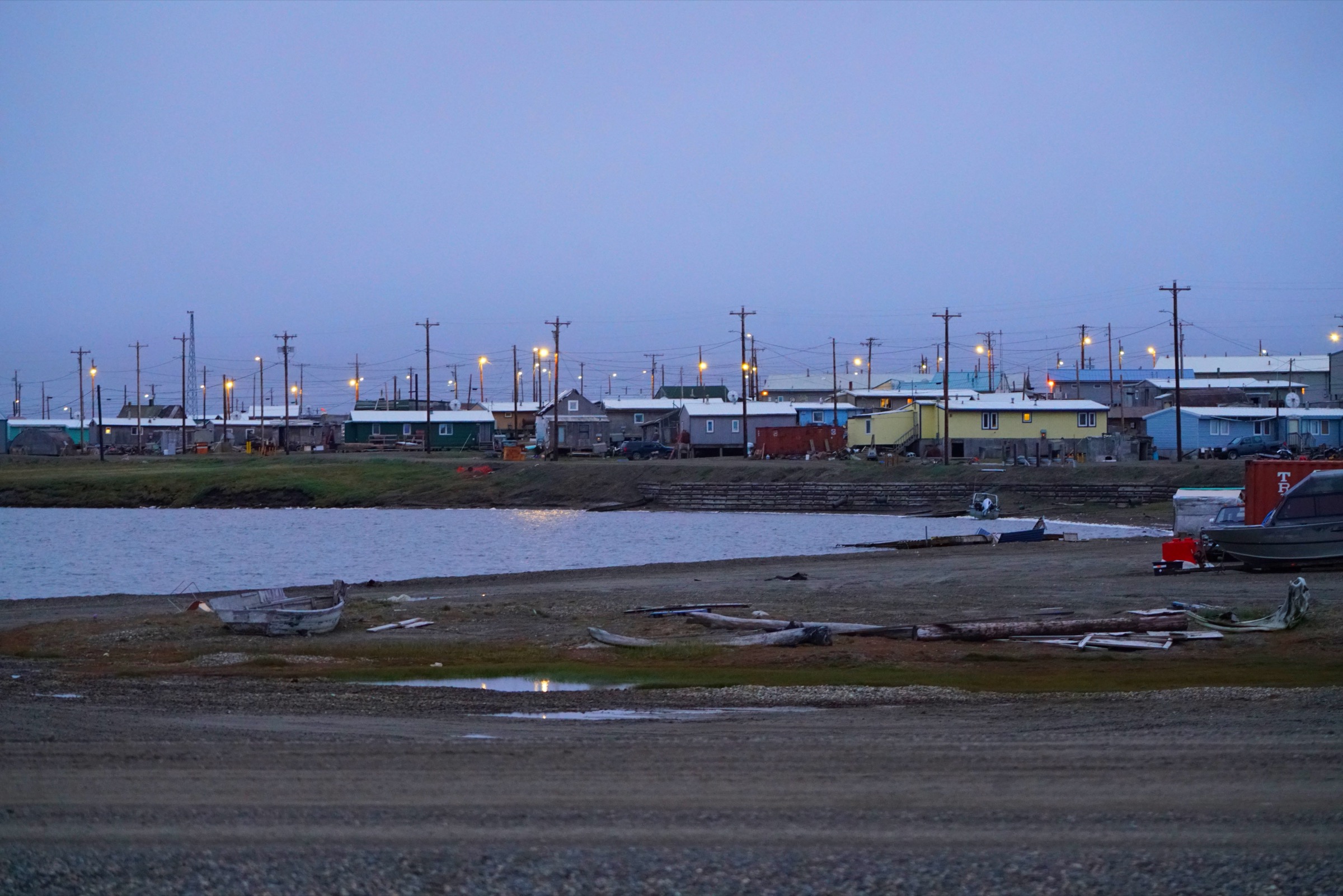
5. Kaktovik / Barter Island guided beach walk
Snapshot
Itinerary
The walk starts in Kaktovik and follows the Barter Island beach and gravel spit under the guidance of a local armed operator. Distance is set by the guide based on current polar-bear activity — bears are frequently visible from land in late summer and early autumn, and walking is done at conservative distances with a rifle-armed local guide as standard practice. The walk pairs naturally with a guided small-boat polar-bear viewing trip from the village.
Why it is essential
Kaktovik is the only settlement inside the Arctic National Wildlife Refuge and the practical way for a visitor to touch the Arctic Ocean coast on foot. It is also the most reliable place in the United States for late-summer polar-bear viewing from land, which makes the guided beach walk the honest coastal counterpart to the interior tundra and river-corridor walks.
Equipment
Standard cold-coast walking gear: waterproof boots, wind- and rain-proof shell, warm insulating layer, hat and gloves, binoculars. The guide carries protective firearm and radio; visitors carry personal warm layers and camera equipment only.
Hazards and notes
Polar bears are the primary hazard and set the character of the walk; independent walking on Barter Island beaches outside the immediate village is not recommended without an armed local guide. Sea fog can close flights for days. The village is a residential community; visitor conduct should defer to local guidance on private property, subsistence camps, and the whale-bone piles that draw the bears in autumn.
GPX / KML links
| Source | URL | Format / access | Reuse status |
|---|---|---|---|
| USFWS — Arctic National Wildlife Refuge: Plan Your Visit | fws.gov | Official access and safety information | Context only |
| Kaktovik.com — village visitor information | kaktovik.com | Community-managed visitor guidance | Context only; use for guide bookings and cultural protocol |