Regional overview
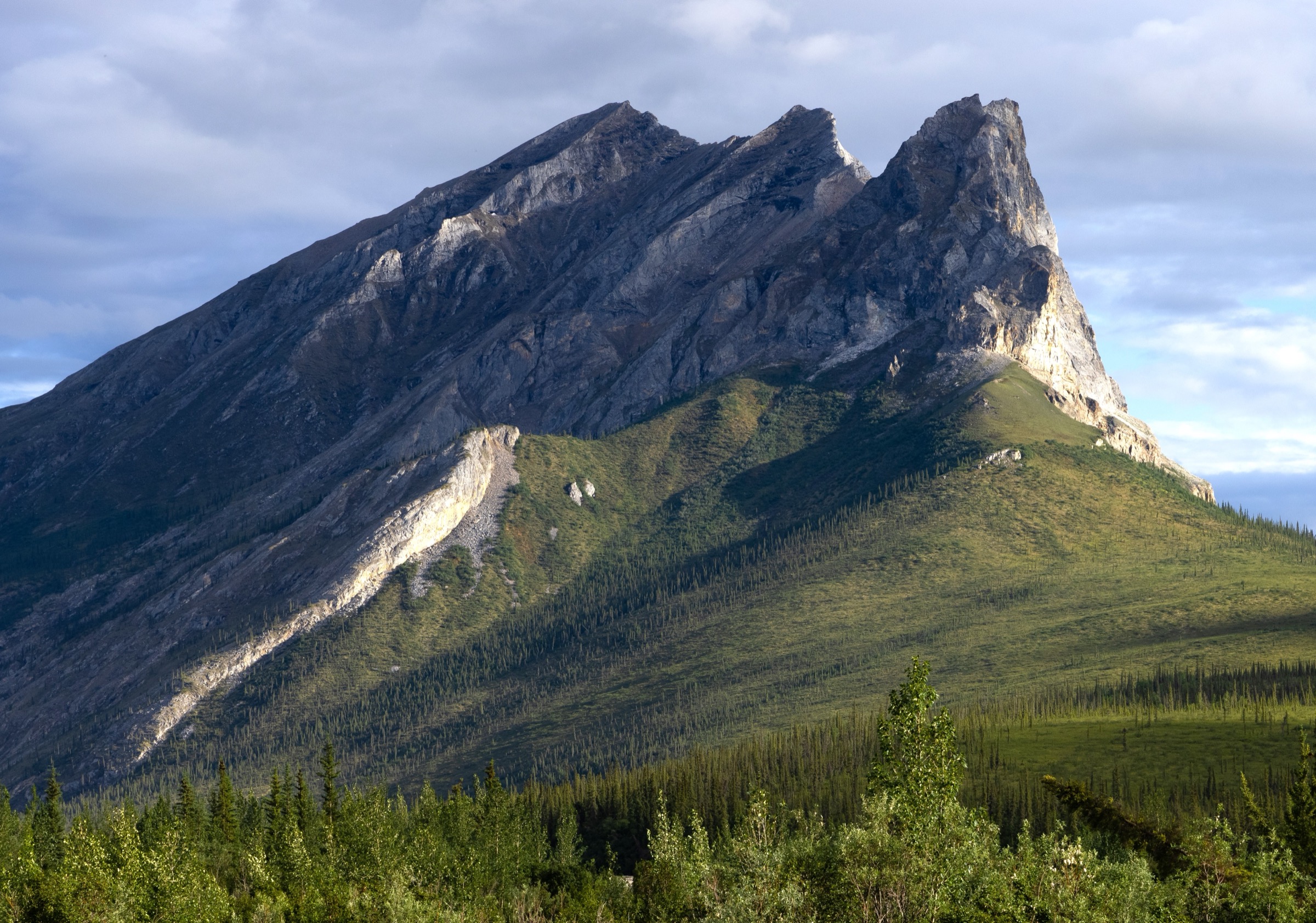
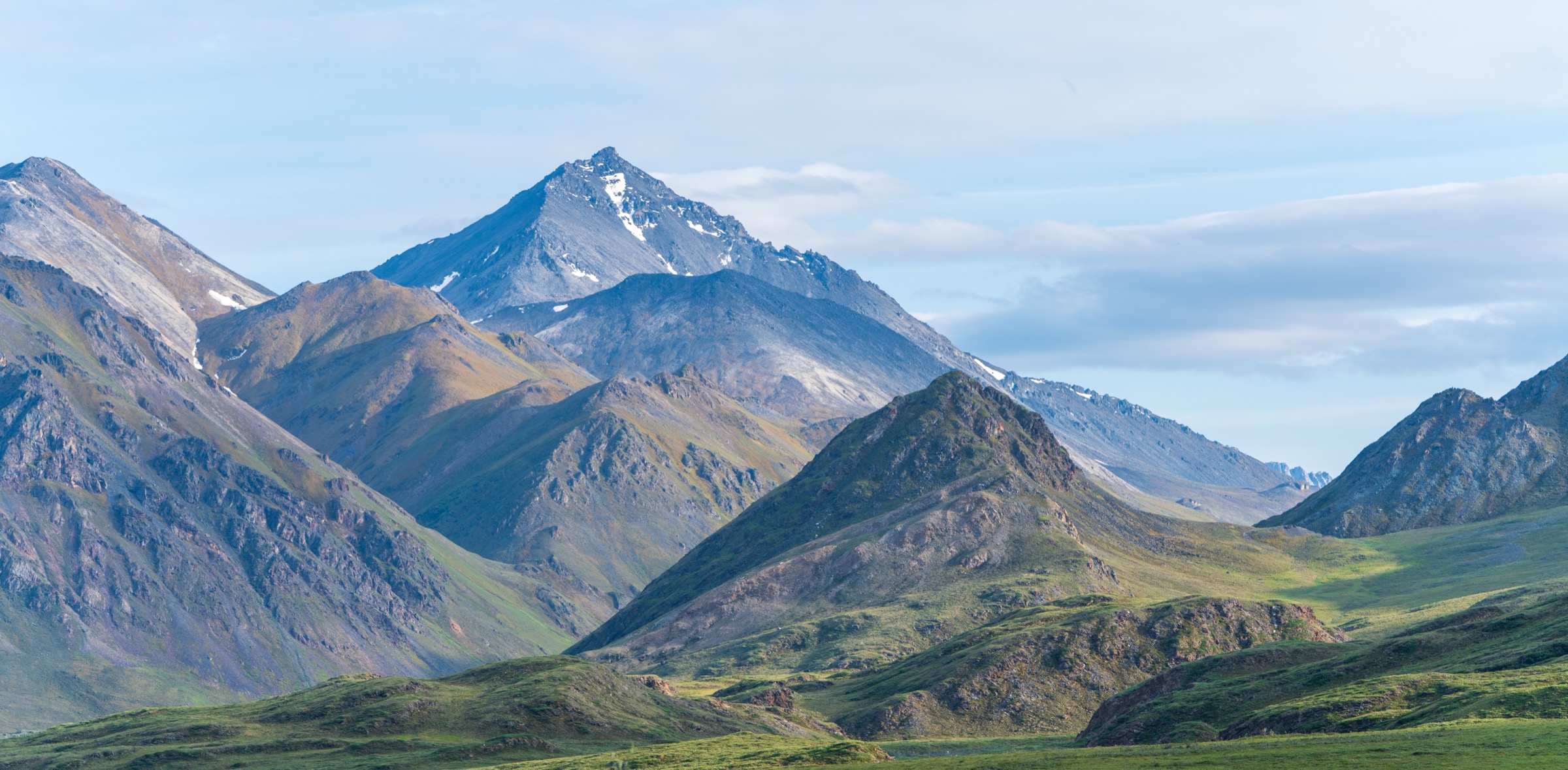
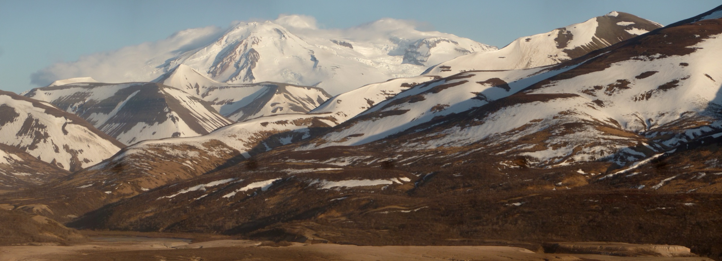
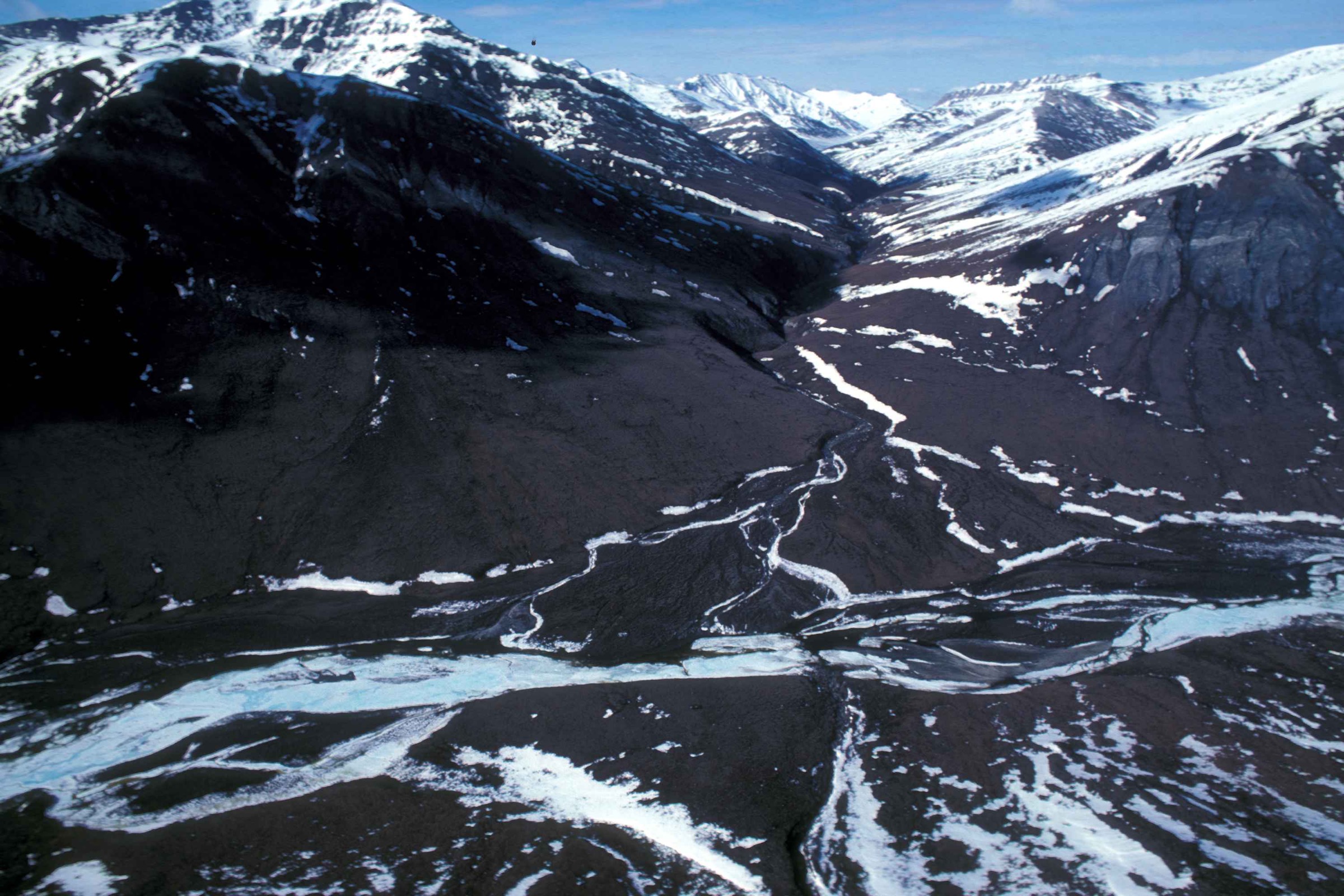
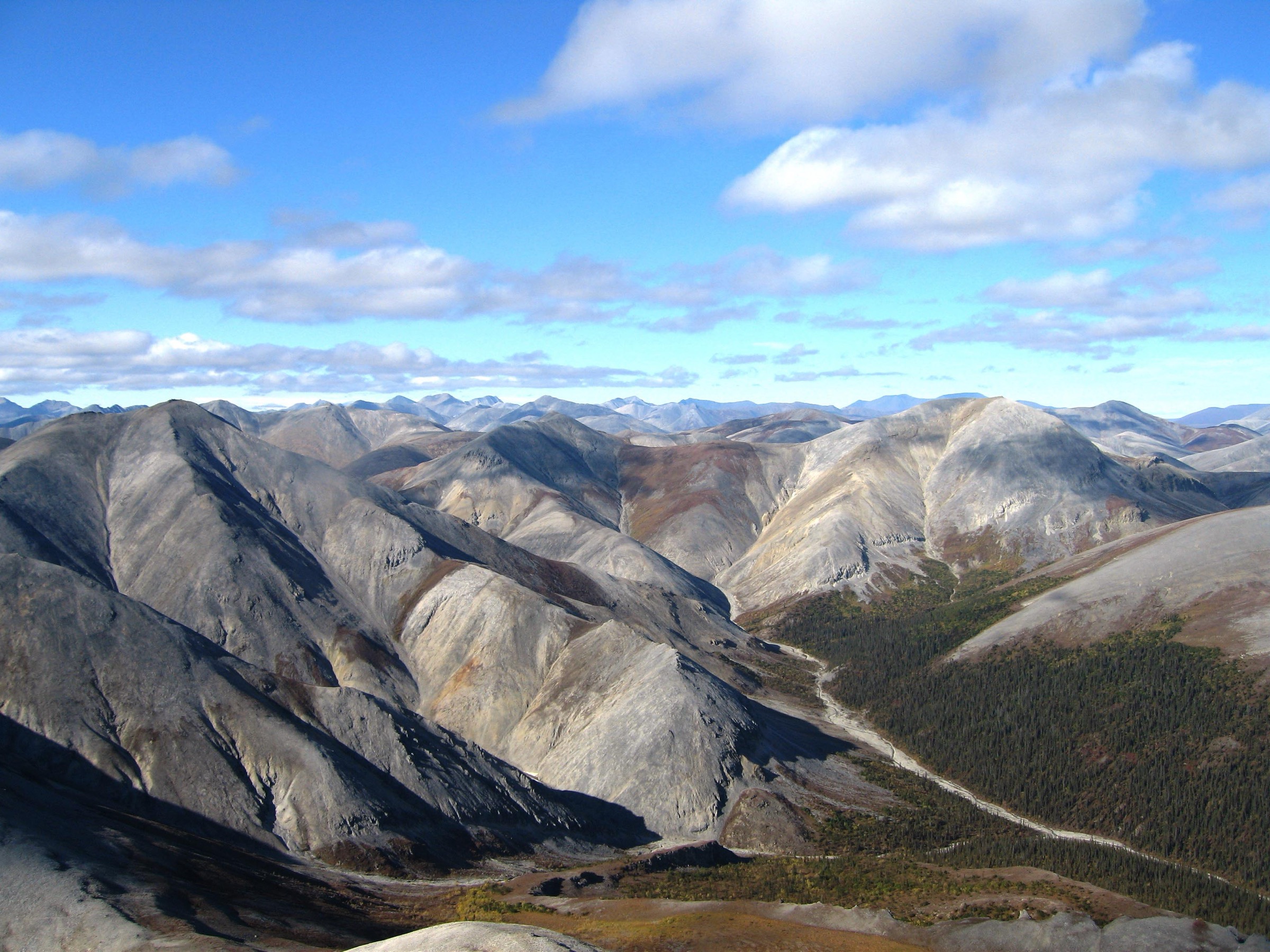
The Western Brooks Range stretches from the DeLong and Baird Mountains south of the Chukchi coast eastward to the western edge of Gates of the Arctic National Park. Kobuk Valley National Park, Noatak National Preserve, Cape Krusenstern National Monument, and the northern edge of Bering Land Bridge National Preserve together form the Western Arctic National Parklands, administered from Kotzebue. There are no roads into any of these units; access is by chartered bush plane from Kotzebue, Bettles, or Nome, or by riverboat on the Kobuk or Noatak.
No maintained hiking trails exist in the Western Brooks Range. The National Park Service is explicit that walking in Kobuk Valley, Noatak, and Cape Krusenstern is a cross-country activity on tundra, gravel bars, dune sand, or beach ridges — not on constructed footpaths. Established day-hike objectives are therefore expressed as walks from named fly-in landing sites, boat-take-outs, or base camps, and every route on this page assumes a chartered air taxi as the working access mode.
The usual hiking season runs from late June, after river ice and lowland snow have cleared, to early September before the first hard freeze. Cold rain, fog, river crossings, dense mosquitoes, and grizzly bears can be part of any summer trip. Wilderness first-aid capability, satellite communication, bear-aware food storage, and conservative turnaround decisions are baseline requirements. The Central Brooks Range and Gates of the Arctic day-hike catalogue is the sister entry immediately east; the Eastern Brooks Range and Arctic National Wildlife Refuge day-hike catalogue carries the same range across to the Canadian border.
The Western Arctic is Iñupiat homeland. Kobuk River communities (Ambler, Shungnak, Kobuk, Kiana, Noorvik) and the Noatak River village of Noatak use these landscapes as active subsistence country; visitor conduct should defer to local land use and the NPS subsistence-use framework for the Western Arctic National Parklands.
Selection rationale
The selected walks reflect what is genuinely established as a recognised objective in the Western Brooks Range — the two signature Kobuk Valley National Park scenes (the Great Kobuk Sand Dunes and Onion Portage), the archetypal Cape Krusenstern beach-ridge traverse, and two Noatak-preserve tundra walks that follow the practical fly-in and float-out patterns used by commercial guides and the NPS. None of these are trail hikes in the lower-48 sense; all are honest cross-country walks with elevations, distances, and gain expressed as ranges rather than fixed values.
Summary table
| # | Hike | Country | Route type | Distance | Gain | Max elevation | Difficulty |
|---|---|---|---|---|---|---|---|
| 1 | Great Kobuk Sand Dunes from Ahnewetut Creek | USA | Off-trail out-and-back on active dunes | 6–10 km | Approx. 60–100 m | Approx. 150 m | Moderate |
| 2 | Onion Portage archaeological terrace walk | USA | Short interpretive circuit on the Kobuk River terrace | 2–4 km | Minimal | Approx. 40 m | Easy |
| 3 | Noatak River base-camp tundra walk (Kelly River / Noatak canyon area) | USA | Off-trail out-and-back from river base camp | 8–14 km | 200–500 m | Variable | Moderate to hard |
| 4 | Cape Krusenstern beach-ridge traverse | USA | Off-trail linear beach-ridge walk | 6–12 km | Minimal | ≤ 15 m | Easy to moderate |
| 5 | Baird Mountains ridge walk from Noatak float base camp | USA | Off-trail ridge walk | 8–12 km | 500–900 m | 900–1,200 m | Hard |
1. Great Kobuk Sand Dunes from Ahnewetut Creek
Snapshot
Itinerary
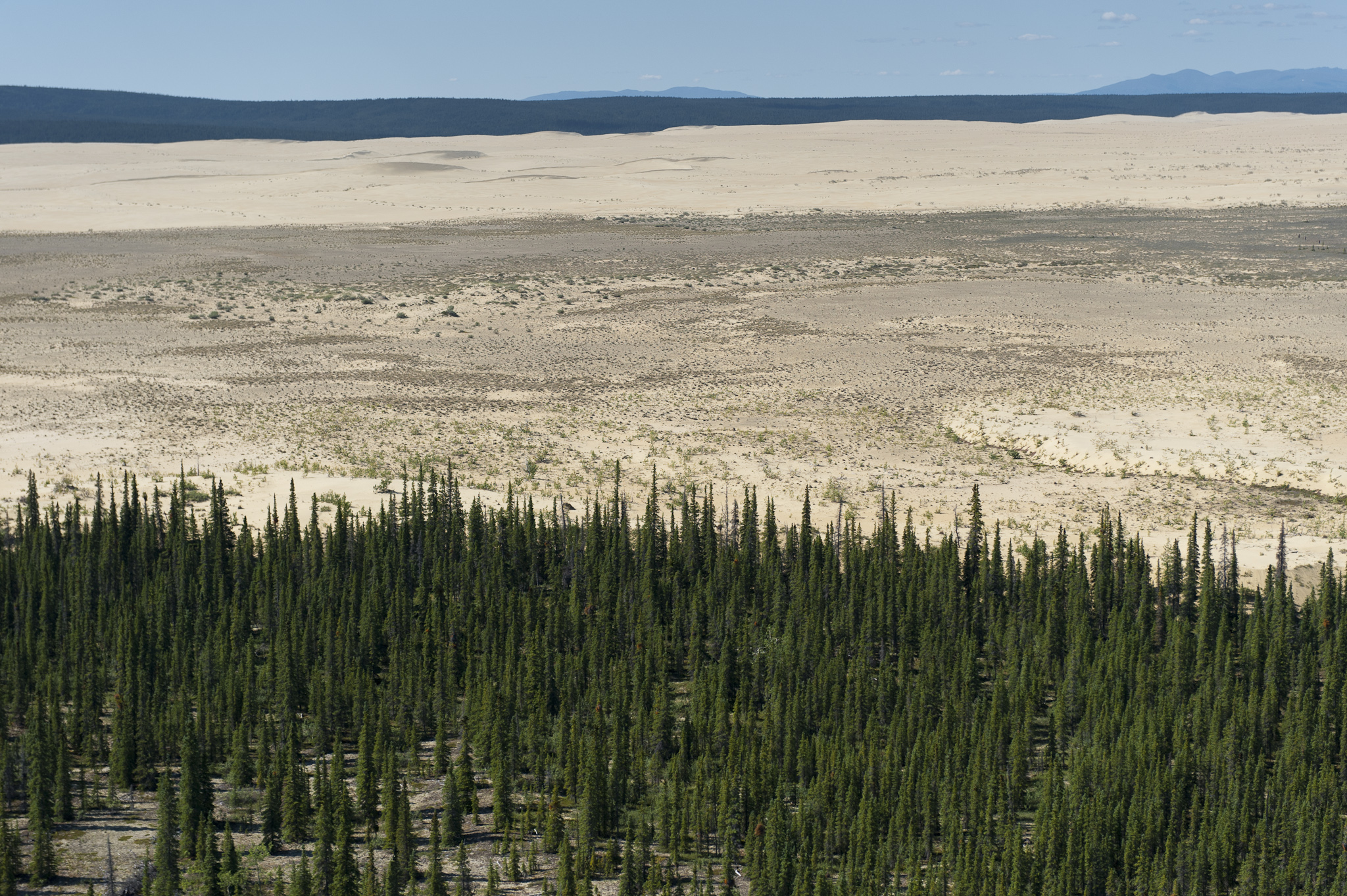
The route starts at a wheeled bush-plane landing on a river bar or sandy strip near Ahnewetut Creek, the recognised access point to the active dune field on the south side of the Kobuk River. Walking crosses a short belt of taiga and shrubby tundra onto the dune edge, then continues across the open sand surface toward higher central ridges. There is no marked route; navigation is by dune skyline and back-bearings to the aircraft. Return follows the outbound track before the pilot’s pre-arranged pick-up window.
Why it is essential
The Great Kobuk Sand Dunes are the largest active dune field in Arctic North America and one of the most distinctive landscapes of the Western Brooks Range. They are the signature Kobuk Valley National Park objective and among the very few Alaskan landscapes that offer a genuinely walkable, day-length open-terrain scene without route finding through willow.
Equipment
Backcountry hiking equipment adapted for open sand: sturdy shoes or gaiter-topped boots, sun protection, insect head-net for the willow crossing, water (no reliable surface water on the dunes themselves), map/GPS with the aircraft coordinates, satellite communicator, and standard bear-aware food storage.
Hazards and notes
Wind can rise quickly and change plane pick-up conditions. Soft sand is tiring on the descent; ground temperature on hot summer days can be substantially higher than shaded tundra. Grizzly and black bear both use the dune margins. Willow between the strip and the dune edge is dense enough to warrant conservative bear conduct.
GPX / KML links
Further reading
2. Onion Portage archaeological terrace walk
Snapshot
Itinerary
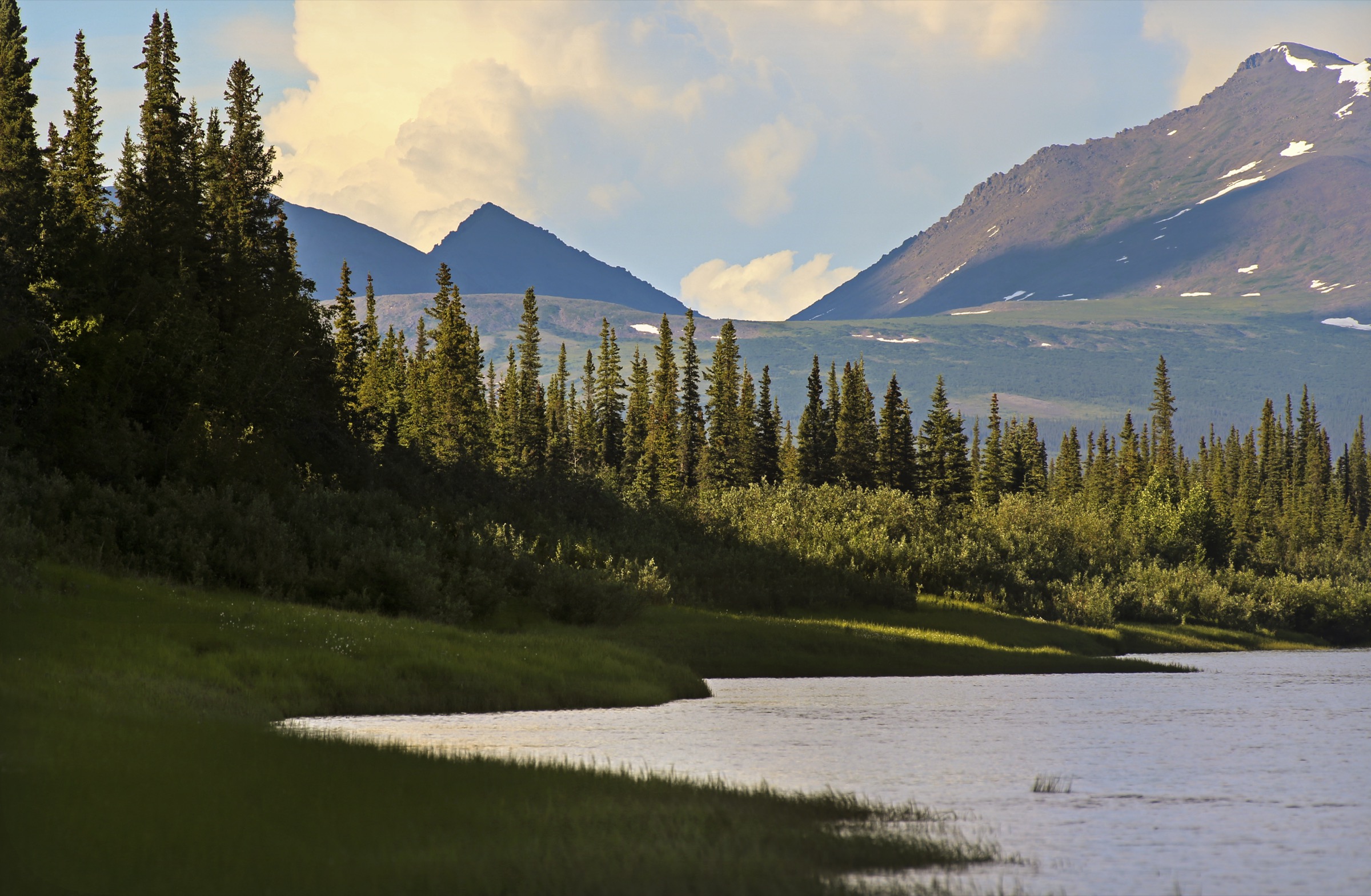
The route steps off a Kobuk River gravel bar or bush-plane strip and climbs a short bluff onto the terrace above the caribou-crossing at Onion Portage. Walking follows the terrace edge past pit-house depressions and interpretive features, then loops back through spruce and willow to the river. This is a genuinely short walk; the significance is archaeological rather than aerobic.
Why it is essential
Onion Portage is one of the most important archaeological sites in Arctic North America and the only Kobuk Valley objective that is essentially a “walk” rather than a wilderness traverse. NPS records describe roughly nine millennia of continuous human use of the caribou-crossing terrace, making the corridor the deepest documented record of Arctic hunter-gatherer occupation on the continent.
Equipment
Light hiking gear: waterproof footwear that will tolerate river-bar mud, insect head-net, warm layer, rain jacket, and NPS-compliant conduct near archaeological features (no surface collection).
Hazards and notes
Bears, wolves, and moose all use the terrace; grizzly encounters are possible at any distance from the river. Archaeological features are federally protected — walking on visible house depressions or removing surface artefacts is prohibited. The Kobuk River is subsistence country for Iñupiat households from Ambler and Kiana; camps and cabins are private.
GPX / KML links
Further reading
3. Noatak River base-camp tundra walk
Snapshot
Itinerary
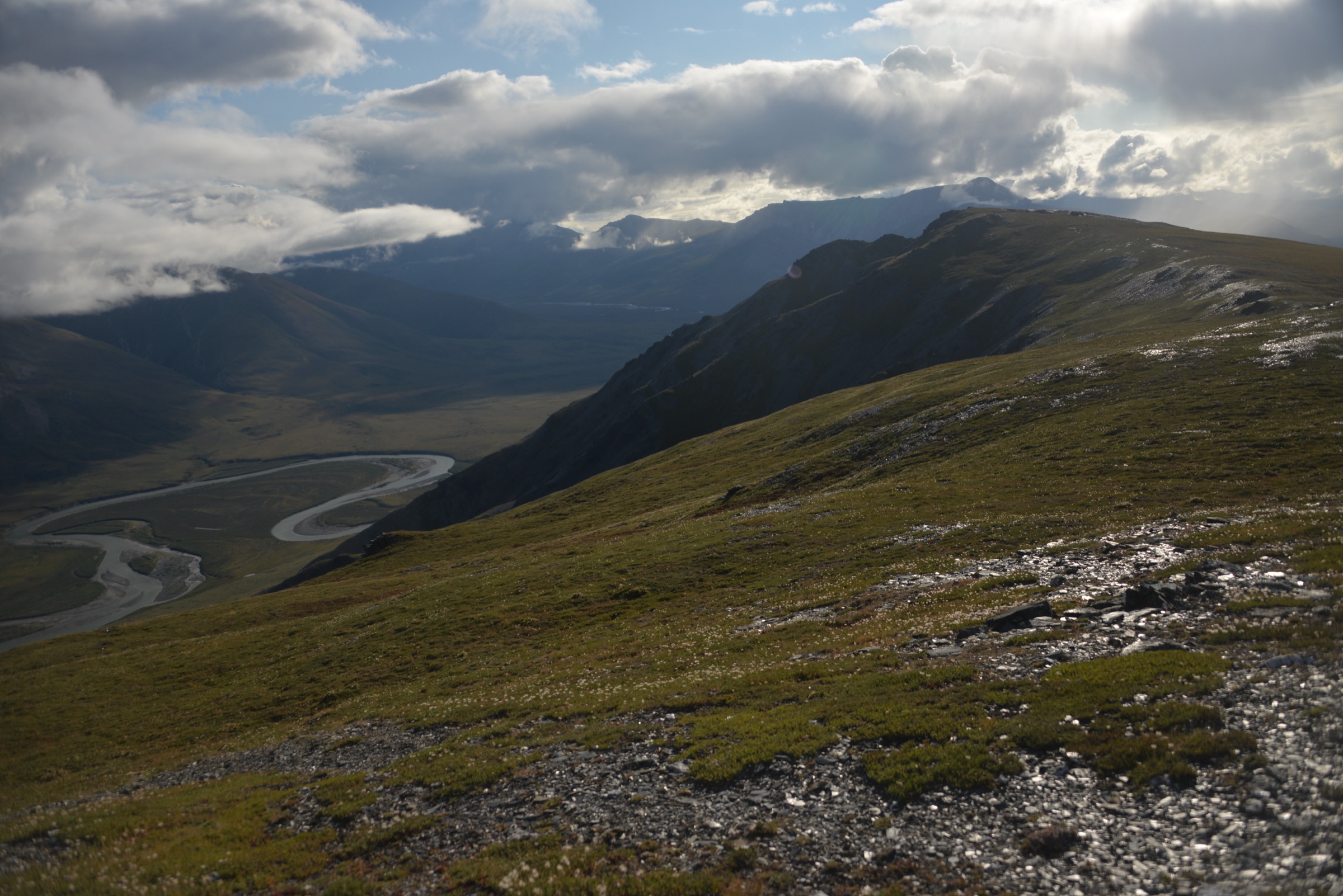
The route starts from a Noatak River gravel-bar camp and climbs through willow bank onto the open tundra bench above the river. Walking traverses tussock and lichen slopes toward a chosen high point on the valley wall, typically a nameless tundra dome or shoulder giving views over multiple bends of the Noatak. Return follows the ascent line or drops through a parallel drainage back to camp. There is no marked route; navigation is entirely by map, compass, and the river line as a return handrail.
Why it is essential
The Noatak Preserve protects one of the largest undisturbed river basins in the United States. This walk is the archetypal Western Brooks Range experience — treeless Arctic tundra, caribou trails, no infrastructure, no visitors — and is the honest walking objective for anyone who reaches the preserve on a float or fly-in trip.
Equipment
Full backcountry equipment: waterproof boots for wet tundra, gaiters, layered synthetic and wool clothing, insect head-net, satellite communicator, bear spray, map/GPS with camp coordinates. Water can usually be filtered from the river or side creeks.
Hazards and notes
Tussock tundra is exhausting; distance estimates should be discounted by roughly a third relative to trail speeds. Grizzly bears use the same tundra benches; walking single-file with active noise is normal practice. Weather can change from bright sun to sleet within an hour even at the height of summer. Cell service is nil.
GPX / KML links
Further reading
4. Cape Krusenstern beach-ridge traverse
Snapshot
Itinerary
The route steps off a fly-in landing on the coastal plain north of Kotzebue and follows one of the parallel beach-ridge crests inland. Cape Krusenstern preserves more than one hundred and fourteen parallel beach ridges, each recording a different Holocene sea-level position and a distinct phase of Iñupiat coastal use. Walking is easiest along the dry ridge crests; crossings between ridges pass through wet inter-ridge swales.
Why it is essential
The Cape Krusenstern beach ridges are a globally significant archaeological chronosequence and one of the very few walkable coastal-plain landscapes in the American Arctic. The walk is the essential Cape Krusenstern National Monument objective and the natural counterpart to the more inland Kobuk Valley scenes.
Equipment
Light backcountry equipment: waterproof boots for swale crossings, wind- and rain-proof shell, insect head-net (the coast can be intensely buggy), map/GPS with camp coordinates, satellite communicator.
Hazards and notes
Sea fog can close bush-plane pickup for hours. Polar bears occur along the coast and along the sea-ice edge; the NPS notes polar-bear activity as one of the reasons the coast is not a casual walking destination. Archaeological features on the ridges are federally protected. Kotzebue-based operators can advise on the current polar-bear situation before departure.
GPX / KML links
Further reading
5. Baird Mountains ridge walk from Noatak float base camp
Snapshot
Itinerary
The route leaves a Noatak River float base camp on the south side of the Baird Mountains, climbs through willow and short tundra onto a bench, and continues up a chosen ridge line toward a rounded summit or shoulder on the drainage divide between the Noatak and Kobuk. Views from the crest open north to the wider Noatak basin and south toward Kobuk Valley and the Waring Mountains. Return follows the ascent line back to the river camp.
Why it is essential
The Baird Mountains sit at the western Brooks Range hinge between the Noatak and Kobuk drainages. A day walk from a Noatak camp is the most practical way to see the range from height, and is the standard “layover-day” objective for commercial Noatak float trips through this reach.
Equipment
Full backcountry equipment for a long tundra day: waterproof boots, gaiters, layered clothing, wind shell, insect head-net, hat and sun protection, map/GPS with camp coordinates, satellite communicator, bear spray, first-aid kit, and rehydration for the ridge (no reliable surface water above the willow line).
Hazards and notes
Sudden weather change is normal; snow squalls can occur even in July on the ridge crest. Tundra and loose talus are physically demanding; conservative turnaround decisions matter more than a fixed target summit. Grizzly bears use the tundra benches. Radio contact with the float party should be pre-arranged.
GPX / KML links
| Source | URL | Format / access | Reuse status |
|---|---|---|---|
| NPS — Noatak National Preserve: Plan Your Visit | nps.gov | Official access, permits, and orientation | Context only; no marked route file exists |
| USGS — Baird Mountains 1:250,000 quadrangle | ngmdb.usgs.gov | Official topographic base for route planning | Public domain topographic data |