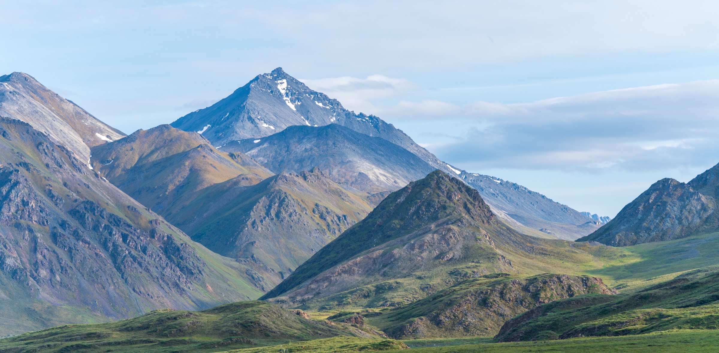
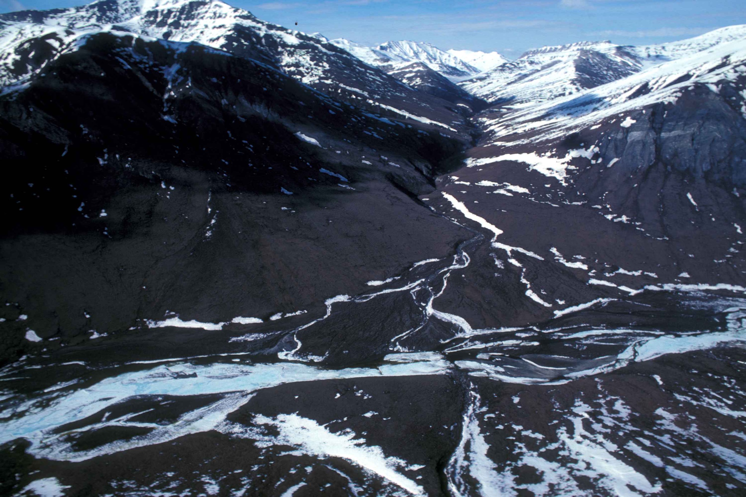
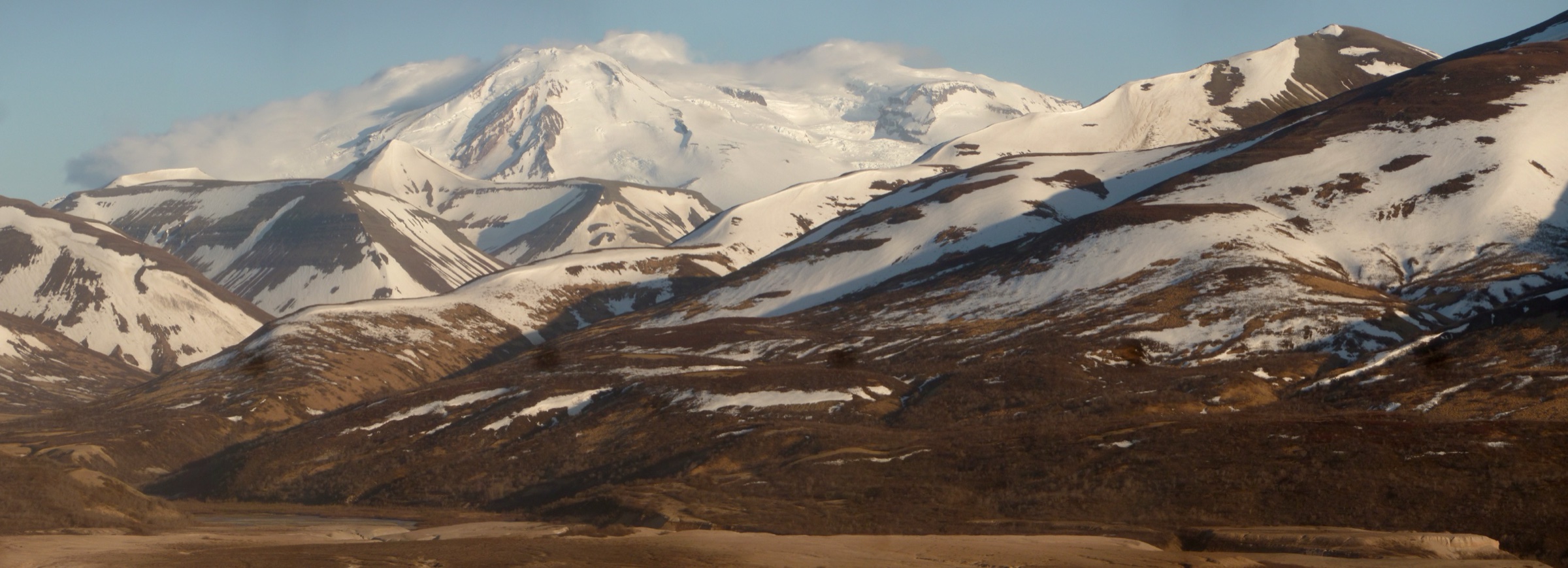
Regional overview
The central Brooks Range is the only sector of the Brooks that can be reached from the road system. The James W. Dalton Highway climbs from the Yukon River across Atigun Pass at 1,444 m, cutting a north–south transect through the Endicott and Philip Smith Mountains and giving trailhead-style access to peaks that would otherwise require charter flights. Gates of the Arctic National Park and Preserve sits immediately west of the highway; its namesake feature — Frigid Crags and Boreal Mountain flanking the North Fork of the Koyukuk River — is a fly-in objective from Bettles.
Very few maintained trails exist here either. Established day-hike objectives along the Dalton Highway are cross-country scrambles and tundra walks from pull-offs; inside Gates of the Arctic itself, the National Park Service is explicit that there are no marked trails and no infrastructure of any kind. What makes this sub-region different from the Western and Eastern Brooks Range is the possibility of driving in — Sukakpak Mountain, Atigun Pass, and Galbraith Lake are all reachable by 4WD or shuttle from Fairbanks.
The recognised hiking season runs from mid-June, after the pass and tundra ridges have cleared, to early September. Cold rain, wind, thick clouds of mosquitoes on the tundra, unbridged river crossings, and grizzly encounters can all be part of a summer trip; snow at Atigun Pass elevation is possible in any month. Wilderness first-aid capability, satellite communication, bear-aware conduct, and conservative turnaround decisions are baseline requirements. The Western Brooks Range day-hike catalogue is the sister entry to the west and the Eastern Brooks Range and Arctic National Wildlife Refuge day-hike catalogue is the sister entry to the east.
Gates of the Arctic sits within the traditional homeland of the Nunamiut and northern Athabascan Koyukon and Gwich’in peoples. The Nunamiut village of Anaktuvuk Pass, inside the park boundary, is a resident community — visitor conduct must respect the village council’s guidance and posted subsistence-use notices.
Selection rationale
The selected hikes cover both sides of the sub-region: the three most-walked Dalton Highway corridor objectives (Sukakpak Mountain, an Atigun Pass ridge walk, and Galbraith Lake), a Gates of the Arctic fly-in walk from Anaktuvuk Pass that engages with the Nunamiut cultural landscape, and a fly-in day walk in the Koyukuk valley to see Frigid Crags and Boreal Mountain — the “Gates” themselves. Together they are the honest working set for a first Central Brooks Range trip.
Summary table
| # | Hike | Country | Route type | Distance | Gain | Max elevation | Difficulty |
|---|---|---|---|---|---|---|---|
| 1 | Sukakpak Mountain scramble | USA | Off-trail out-and-back scramble | 8–10 km | ~1,000 m | 1,373 m | Hard |
| 2 | Atigun Pass south ridge walk | USA | Off-trail out-and-back ridge | 6–10 km | 400–700 m | ~2,000 m | Moderate to hard |
| 3 | Galbraith Lake basin tundra walk | USA | Off-trail loop / out-and-back | 8–14 km | 200–500 m | Variable | Moderate |
| 4 | Anaktuvuk Pass — John River tundra day walk | USA | Off-trail out-and-back on tundra | 8–12 km | 200–400 m | Variable | Moderate |
| 5 | Gates of the Arctic — Frigid Crags and Boreal Mountain viewpoint from Koyukuk base camp | USA | Off-trail out-and-back / river-bench walk | 8–12 km | 300–500 m | Variable | Moderate |
1. Sukakpak Mountain scramble
Snapshot
Itinerary
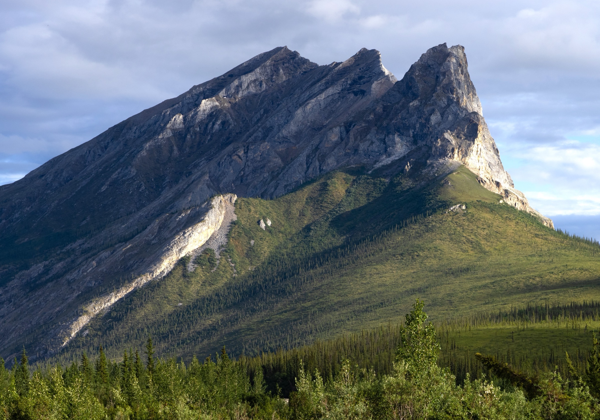
The route drops off the Dalton Highway into the Dietrich River bottom, crosses side channels and dense willow, and climbs the west face of Sukakpak on tundra and open scree. Higher up, the ascent works through marble ribs and pale limestone bands that give the peak its distinctive white-and-green striping, finishing on a summit ridge with a long view down the Dietrich Valley and north to Atigun Pass. The descent reverses the ascent line back to the highway.
Why it is essential
Sukakpak is the most recognisable single peak in the central Brooks Range and the only Brooks summit routinely done as a day trip from a road pull-off. Reaching the top gives the clearest road-accessible high viewpoint over the range’s central heart.
Equipment
Mountain hiking equipment for a full day: boots suited to scree and willow, gaiters, layered clothing, rain shell, warm layer, hat and sun protection, map/GPS with waypoints for the Dietrich bench and the summit, satellite communicator, bear spray, first-aid kit, and adequate water — surface water on the upper slopes is limited.
Hazards and notes
Weather can change quickly at exposed ridge elevation; snow squalls are possible even in July. The upper slopes carry loose rock and route-finding on the marble ribs requires care. Grizzly bears use the Dietrich willow and the tundra benches. There is no marked trail; the ascent line is a matter of choice by the party.
GPX / KML links
| Source | URL | Format / access | Reuse status |
|---|---|---|---|
| AllTrails — Sukakpak Mountain | alltrails.com | Interactive source map, community-submitted | AllTrails terms; GPX reuse not verified; source/check only |
| BLM — Dalton Highway visitor guide | blm.gov | Official corridor information and safety guidance | Context only |
Further reading
2. Atigun Pass south ridge walk
Snapshot
Itinerary
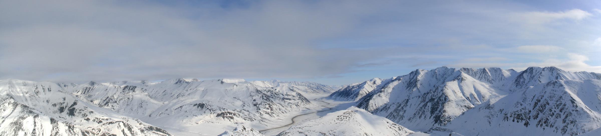
The route steps off the Atigun Pass pull-off and climbs on tundra and short scree onto either the east or west ridge above the pass. Both sides give quick access to Continental-Divide viewpoints — the Chandalar River drainage lies south and the Sagavanirktok drainage flows north to the Arctic Ocean. Turnaround is judgement-based; there is no fixed summit, only a chosen ridge shoulder from which the party reverses to the highway.
Why it is essential
Atigun Pass is the point at which the Dalton Highway crosses the Brooks Range crest; a short ridge walk from the pass is the highest, quickest hands-in-the-alpine tundra experience anywhere in the Arctic drivable from a US road system.
Equipment
Mountain hiking equipment as for Sukakpak, plus a warm layer and hat suitable for wind on the crest even on a warm July day. Water bottles should be filled at Coldfoot or Wiseman since surface water at pass elevation is sparse.
Hazards and notes
Traffic on the highway climbs and descends the pass at speed; step well clear of the road on both approach and return. The Atigun Pass area sits in an avalanche-active zone during winter and shoulder seasons; residual snow patches can persist into July. Grizzly bears use the tundra basins on both sides. Cell service is nil.
GPX / KML links
| Source | URL | Format / access | Reuse status |
|---|---|---|---|
| BLM — Dalton Highway visitor guide | blm.gov | Official corridor information and safety guidance | Context only |
| USGS — Chandalar 1:250,000 quadrangle | ngmdb.usgs.gov | Official topographic base for route planning | Public domain topographic data |
Further reading
3. Galbraith Lake basin tundra walk
Snapshot
Itinerary
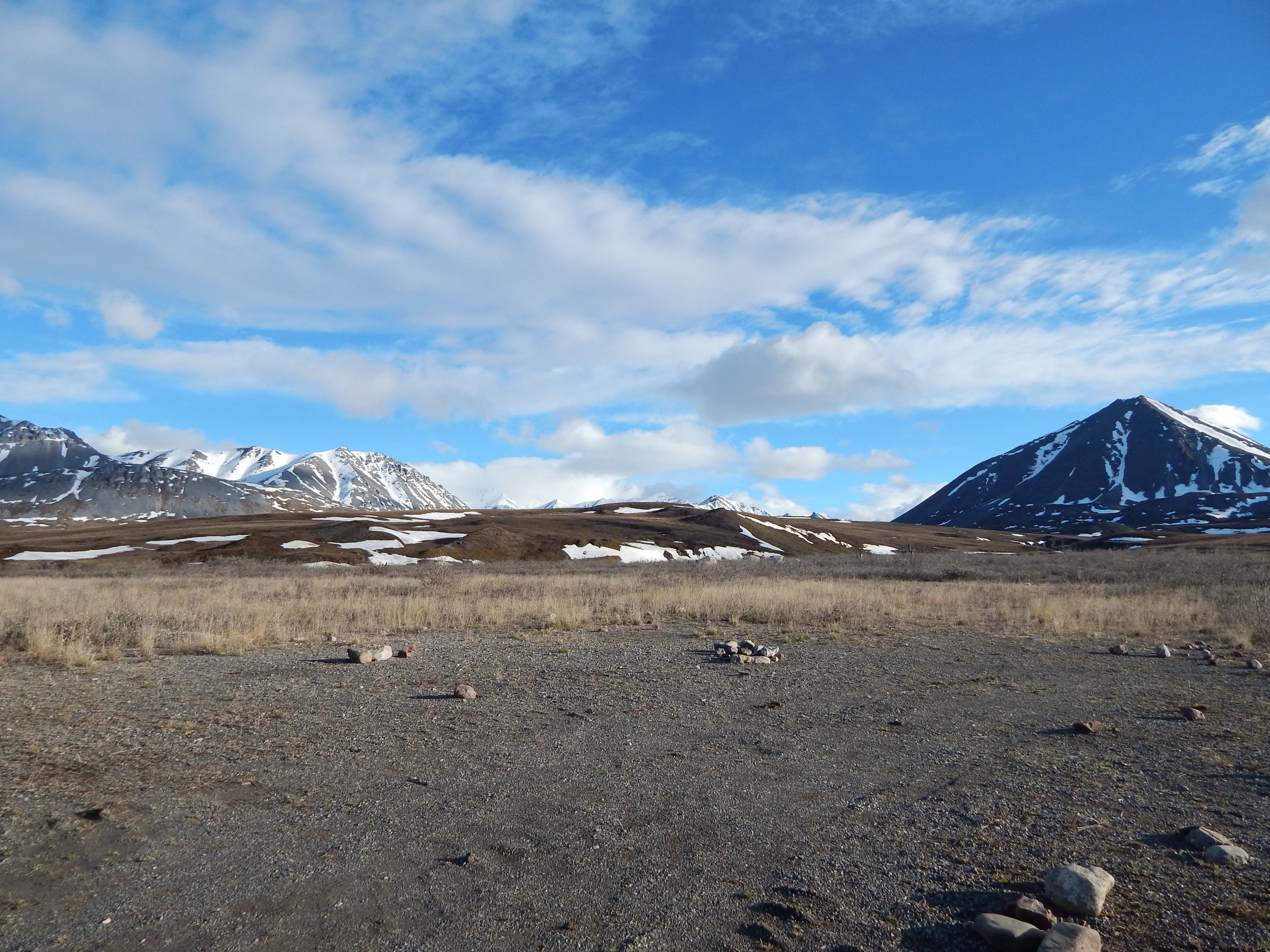
The route starts at the BLM Galbraith Lake campground and works out onto the tundra between the lake and the north wall of the Brooks Range. Walking choices include heading up gentle tundra shoulders toward the range crest, following the Atigun River bench toward the pass, or looping around the north-east side of the lake. There is no fixed route; the basin is open and reads well on a map, with the Trans-Alaska Pipeline visible as a return handrail.
Why it is essential
Galbraith Lake is the recognised roadside foot-tundra base on the north side of the Brooks Range crest, and the standard site for a low-effort north-slope tundra walk within reach of a highway camp. It complements the Sukakpak and Atigun objectives by giving the tundra side of the same corridor.
Equipment
Backcountry hiking equipment as for Atigun Pass; waterproof boots are essential on the wet tundra basins. A satellite communicator is standard practice given the remoteness of the pull-off.
Hazards and notes
Tussock tundra is slow and tiring; distance planning should be conservative. Weather changes quickly on the exposed basin. Grizzly and moose both use the willow along the Atigun River. The BLM campground is unstaffed; there is no potable water and no cell service.
GPX / KML links
Further reading
4. Anaktuvuk Pass — John River tundra day walk
Snapshot
Itinerary
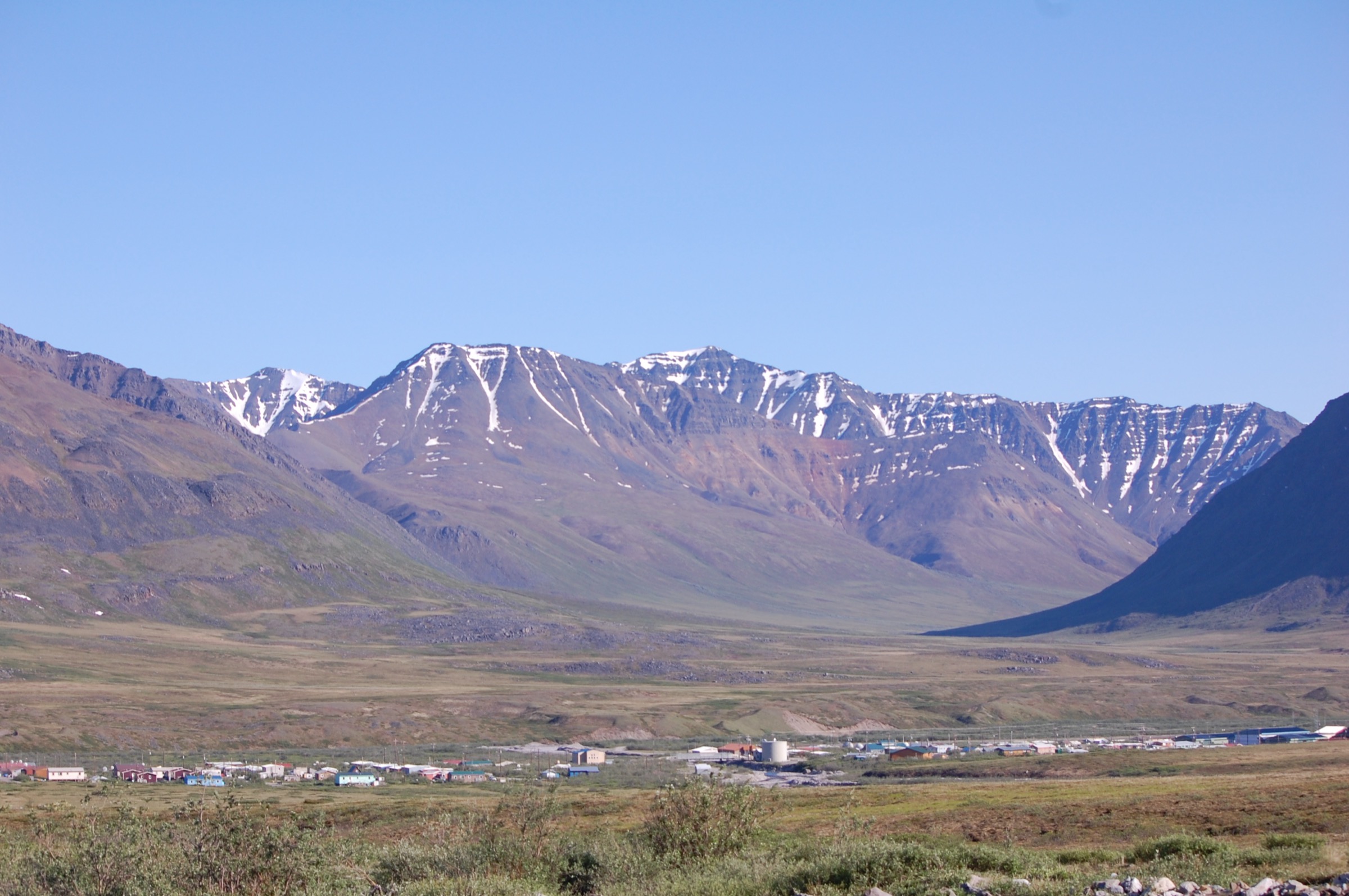
The route steps off the Anaktuvuk Pass airstrip and walks out onto the tundra either south down the John River corridor or north into the Anaktuvuk River drainage. Walking is on cross-country tundra with no established path. Turnaround is set by weather and the return flight window; there is no fixed objective, and the walking should keep clear of local subsistence camps and posted areas.
Why it is essential
Anaktuvuk Pass is the only settled community inside Gates of the Arctic National Park and Preserve — a Nunamiut village on the Continental Divide, the last inland Iñupiat community to settle from a semi-nomadic caribou-hunting economy. A day walk on the surrounding tundra, done with respect for the community and its subsistence-use framework, is the closest a visitor can normally come to the interior of the park without a multi-day expedition.
Equipment
Full backcountry equipment: waterproof boots for wet tundra, layered clothing, wind shell, insect head-net, hat, map/GPS with airstrip waypoints, satellite communicator, bear spray. A stove and water treatment are sensible even for a day out.
Hazards and notes
Anaktuvuk Pass is a resident community; visitor conduct should defer to the village council and NPS interpretive guidance. Grizzly bears use the surrounding tundra. Weather can change quickly and can ground the return flight, so allow schedule flexibility. The park’s simple in-person orientation is available from the NPS ranger station at Anaktuvuk Pass in summer.
GPX / KML links
Further reading
5. Gates of the Arctic — Frigid Crags and Boreal Mountain viewpoint from a Koyukuk base camp
Snapshot
Itinerary
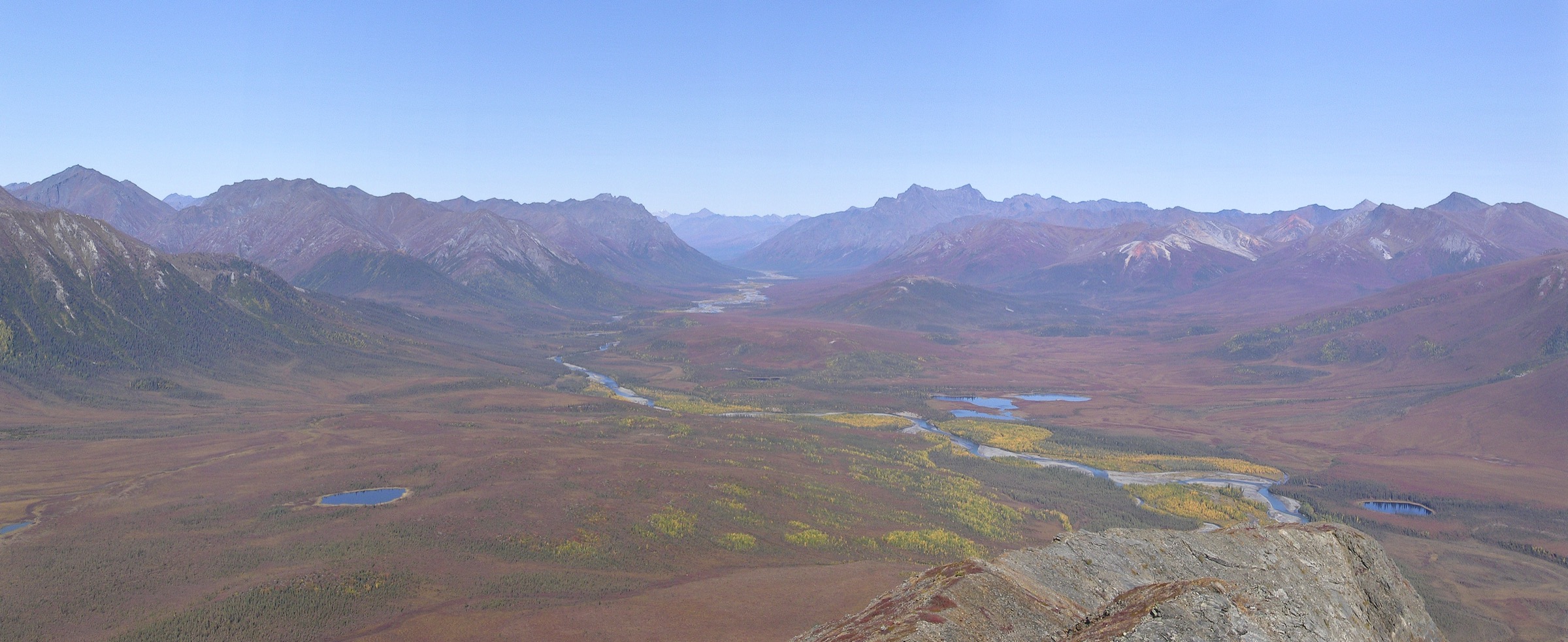
The route leaves a bush-plane base camp on the North Fork of the Koyukuk and works up-valley on gravel bars and willow-fringed terraces between Frigid Crags to the east and Boreal Mountain to the west. Walking climbs onto a tundra shoulder beneath one of the peaks for the view that Bob Marshall described in 1929 when he named the pair the “Gates of the Arctic.” Return follows the outbound line back to camp.
Why it is essential
Frigid Crags and Boreal Mountain are the paired peaks that give Gates of the Arctic National Park and Preserve its name. Standing beneath them from a Koyukuk river-bench camp is the essential Gates of the Arctic experience — the single scene most tightly bound to the park’s identity.
Equipment
Full backcountry equipment: waterproof boots, gaiters, layered clothing, wind shell, insect head-net, hat, map/GPS with camp coordinates, satellite communicator, bear spray. Trekking poles help on the gravel-bar walking; a small ford of side channels can be expected.
Hazards and notes
The North Fork of the Koyukuk and its side channels can be unbridged and cold; conservative water-crossing judgement matters. Grizzly bears use the willow benches. Weather changes quickly and can ground the return flight, so schedule flexibility is essential. The Bettles Ranger Station is the recognised orientation and permit-registration point before departure.
GPX / KML links
Further reading
- NPS — Gates of the Arctic National Park and Preserve
- NPS — Gates of the Arctic: Bettles Ranger Station