Regional overview
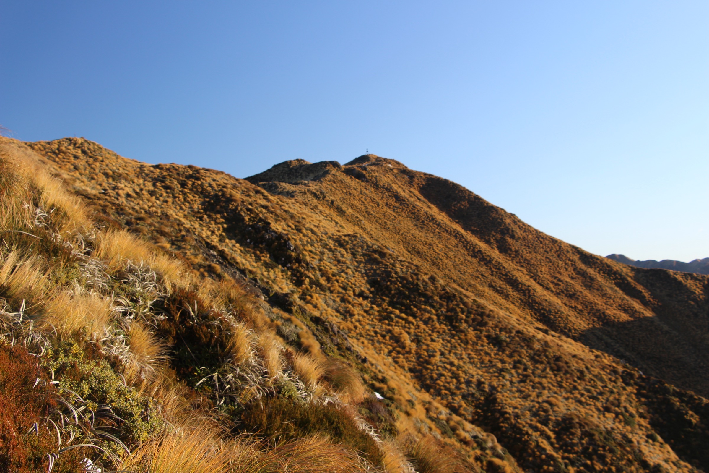
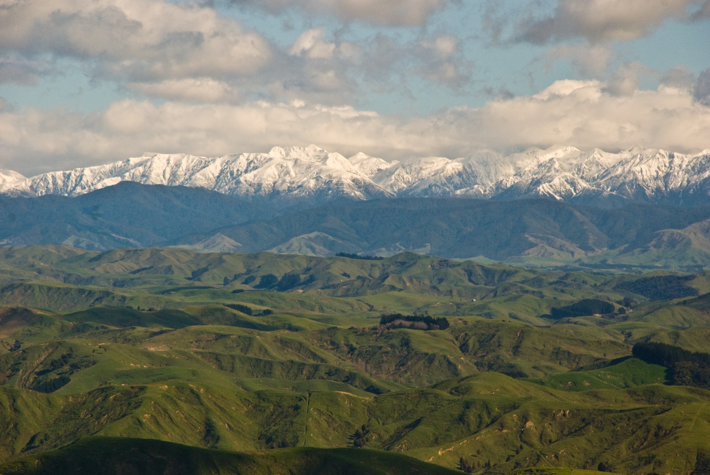
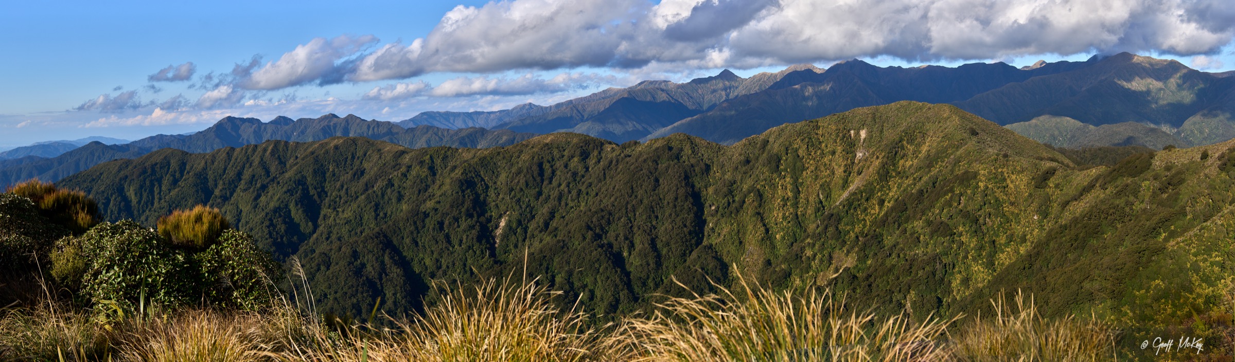
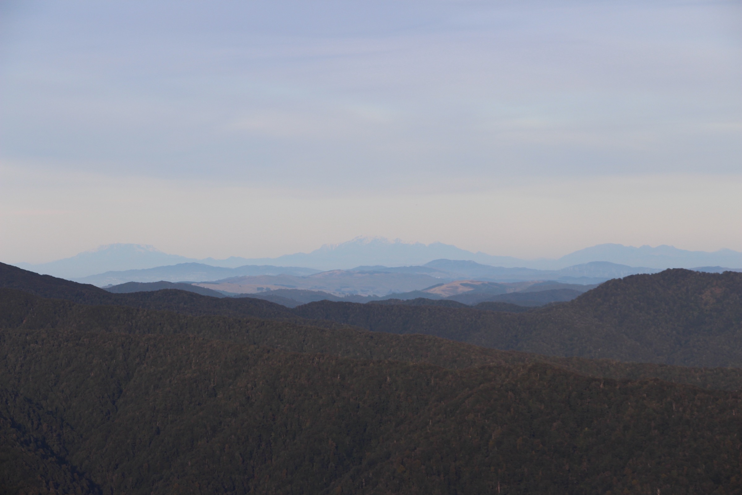
The southern Tararuas run from the Otaki Forks and Kapakapanui approaches on the western side across the Main Range to the Kaitoke and Tauwharenīkau country on the Wellington side. The signature terrain is the Southern Crossing — the long tops traverse over Table Top, Kime Hut, Mount Hector and Alpha that links the two sides of the range. Around it sit river-terrace tracks, heritage loops, forested valley hut walks and steep ridge climbs. Trailheads are 60–90 minutes from Wellington, Porirua and Kāpiti.
The walking character shifts fast with altitude. Lower tracks run through kāmahi, beech and podocarp forest on rooty clay and river terraces. Above the bushline the route becomes exposed tussock and rock: strong wind, thick mist, freezing rain and snow occur in every month, and DOC warns repeatedly that the Southern Crossing area has a history of serious accidents in bad weather. The tops routes here are DOC intermediate or advanced tramping tracks, and even the “day-sized” approach to Kime Hut is a 10–12 hour fit-walker objective.
Access needs particular checking. DOC’s Waiotauru Track page notes the last 5 km of Otaki Gorge Road is closed to vehicles due to a slip, with walking access via an emergency track — the Otaki Forks trailheads for Field Hut, Kime Hut and Arcus Loop are all affected. Current DOC alerts for Tararua Forest Park also include predator-control caution periods; dogs should not be taken into affected areas during those periods even where individual track pages otherwise say dogs are allowed under control. The Fenceline Walk near Kaitoke is currently closed due to slips and is excluded from this catalogue.
Best season for the tops is roughly late November to April. Shoulder months add snow-and-ice judgement above the bushline; the snow line drops well below 1,000 m in southerly storms. Standard equipment for the Southern Crossing routes is mountain kit — sturdy boots, waterproof shell, warm layers, warm hat and gloves, map and compass or offline GPS, headlamp and a Personal Locator Beacon. Lower routes need less exposure kit but the same weather margin and, on the Kaitoke side, boots with real grip for clay.
Selection rationale
Five day-scale routes are presented across the southern Tararuas. Field Hut and Table Top is the classic western climb from forest to the first tussock top; Kime Hut via Field Hut extends the same line into a full Southern Crossing day out; Kapakapanui Circuit is the compact but steep summit-and-hut objective closest to the Kāpiti side; the Dobson Loop and Smith Creek Shelter is the best Kaitoke-side day walk that stays within a day scale while sampling the historic Southern Crossing gateway; and the Arcus Loop is the short heritage and Te Araroa sampler at Otaki Forks. The full Southern Crossing traverse, the Mount Hector–Alpha extension beyond Kime Hut and the closed Fenceline Walk sit outside this day-hike entry.
Summary
| # | Hike | Trailhead | Route type | Distance | Gain | Max elevation | Difficulty |
|---|---|---|---|---|---|---|---|
| 1 | Field Hut and Table Top | Otaki Forks | Out-and-back | Unresolved (DOC 6–7 h return) | ~900 m minimum | 1,047 m | Hard |
| 2 | Kime Hut via Field Hut | Otaki Forks | Out-and-back | ~20 km | ~1,255 m minimum | ~1,405 m | Hard |
| 3 | Kapakapanui Circuit | Ngatiawa Road | Loop | 12.2 km | 1,006 m | Unresolved | Hard |
| 4 | Dobson Loop / Smith Creek Shelter | Kiwi Ranch Road, Kaitoke | Loop or out-and-back | 11.5–13 km | Unresolved | Unresolved | Moderate–Hard |
| 5 | Arcus Loop Track | Boielle Flat, Otaki Forks | Loop | 3.5 km | Unresolved | Unresolved | Easy |
1. Field Hut and Table Top
Snapshot
Itinerary
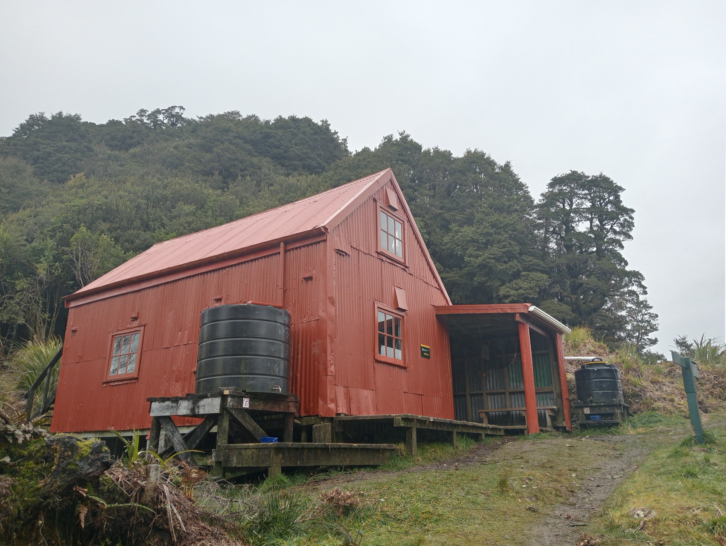
From Otaki Forks, cross the Waiotauru footbridge and climb the Field Track through kāmahi and beech forest to historic Field Hut near the bushline. Continue through leatherwood and subalpine terrain to Table Top at 1,047 m, where views open toward the Main Range and the Otaki River gorges. Return by the same track.
Why it is essential
DOC catalogues Table Top as the classic climb to the tops of the western Tararua Range. It gives the Southern Tararuas’ forest-to-tussock experience — historic hut, bushline transition and the first proper Main Range viewpoint — without committing to the full Southern Crossing.
Equipment
- Sturdy tramping boots with good ankle support
- Waterproof and windproof shell, warm mid-layer, spare warm layer
- Warm hat and gloves outside midsummer
- Map and compass, and offline GPS
- Headlamp with spare batteries
- 2 L water and food for a long day
- Personal Locator Beacon
- First-aid kit
Hazards and notes
- The upper route is exposed to cold southerlies, mist, snow and strong wind
- DOC warns the Southern Crossing area has a history of serious accidents in bad weather — carry a conservative turnaround plan
- Otaki Gorge Road access must be checked — DOC notes the last 5 km is closed to vehicles
- Predator-control alerts apply in the wider Tararua Forest Park; check current DOC notices before departure
2. Kime Hut via Field Hut
Snapshot
Itinerary
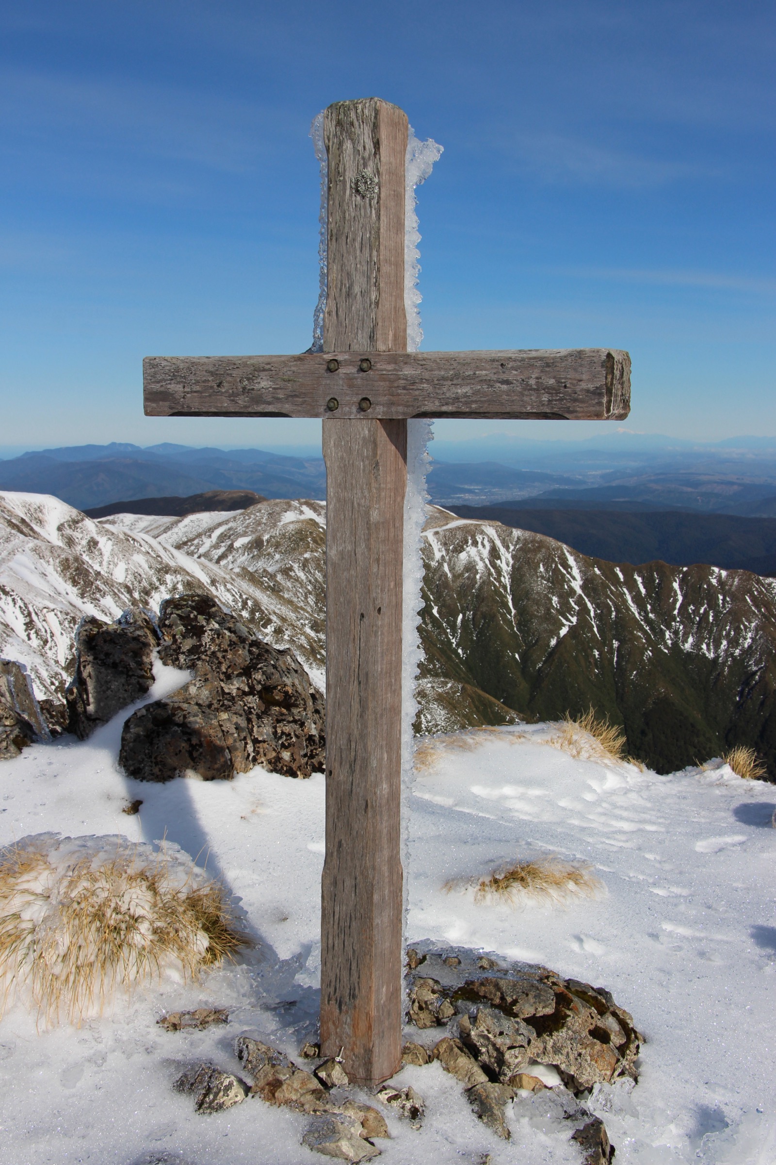
Follow the Field Track from Otaki Forks to Field Hut, then continue above the bushline over Table Top and along the poled Southern Crossing route to Kime Hut at ~1,405 m below Hut Mound. Return by the same track before committing further toward Mount Hector or Alpha.
Why it is essential
This is the day-sized western approach to the Southern Crossing high country. It reaches the alpine refuge below Hut Mound and gives a full sample of the southern Tararua tops without requiring the multi-day traverse over Mount Hector and Alpha to Kaitoke.
Equipment
- Sturdy tramping boots
- Waterproof and windproof shell, warm mid-layer, spare warm layer
- Warm hat and gloves — carry regardless of forecast
- Map, compass and offline GPS
- Headlamp with spare batteries — long day, headlamp finish likely
- 2.5–3 L water and food for a long day
- Personal Locator Beacon
- First-aid kit
Hazards and notes
- Long, exposed day on ground that has caused fatalities in bad weather
- Strong winds, thick mist, freezing temperatures, rain and snow can all occur on the Southern Crossing in any month
- Poled tops route — carry a compass and be prepared to turn around at Field Hut or Table Top in bad visibility
- Kime Hut is unheated — it is a shelter, not a substitute for a safe day plan unless an overnight trip is deliberately planned and booked
- Otaki Gorge Road access must be checked before departure
3. Kapakapanui Circuit
Snapshot
Itinerary
From the Ngatiawa Road end, follow the Kapakapanui route steeply out of low forest onto the ridge and up to Kapakapanui Hut. Continue over the Kapakapanui summit area and descend the far side of the loop back to the road end.
Why it is essential
Kapakapanui is the southern Tararua summit-and-hut day closest to the Kāpiti side — a compact but steep sample of western Tararua forest, ridge and hut terrain, without the Otaki Gorge Road access issues affecting the Field Hut and Kime Hut approaches.
Equipment
- Sturdy tramping boots with good grip
- Waterproof shell and warm mid-layer
- Map, compass and offline GPS
- Headlamp with spare batteries
- 2 L water and food for a long day
- Personal Locator Beacon
- First-aid kit
Hazards and notes
- DOC rates the tracks to Kapakapanui Hut as advanced tramping track
- Steep climb — 1,006 m of gain over ~6 km on the ascent
- Stream and mud conditions should be checked after rain
- Exact official statistics for the loop (max elevation, verified distance) remain unresolved — treat AllTrails figures as secondary
4. Dobson Loop and Smith Creek Shelter
Snapshot
Itinerary
For the Smith Creek Shelter return, start on Kiwi Ranch Road and climb toward Puffer Saddle, then descend into the Smith Creek valley and follow the creek through red and hard beech forest to Smith Creek Shelter near the Tauwharenīkau confluence. Return by the same route. The full Dobson loop uses the Southern Crossing turnoff near Puffer Saddle, climbs toward the old Dobson Hut site, descends steeply to the Tauwharenīkau and returns via Smith Creek.
Why it is essential
This is the best southern Tararua day from the Kaitoke side that stays within a day-walk scale — the historic Southern Crossing gateway at Puffer Saddle, the Tauwharenīkau forest valleys, and the option to extend into the full Dobson loop for a longer day.
Equipment
- Boots with good grip — clay and roots can be extremely slippery
- Waterproof shell and warm layer
- Map, compass and offline GPS
- Headlamp with spare batteries
- 2 L water and food
- Trekking poles help on the clay descents
- Personal Locator Beacon on the full loop
Hazards and notes
- Large old slip in the Smith Creek section can add up to 1.5 h to the route
- Extremely slippery clay after rain, plus tree roots on the descent
- Unbridged stream crossings may be unsafe during or after heavy rain
- Full Dobson loop is suited to fit, experienced trampers — the descent to the Tauwharenīkau is steep
- The nearby Fenceline Walk is currently closed due to slips
5. Arcus Loop Track
Snapshot
Itinerary
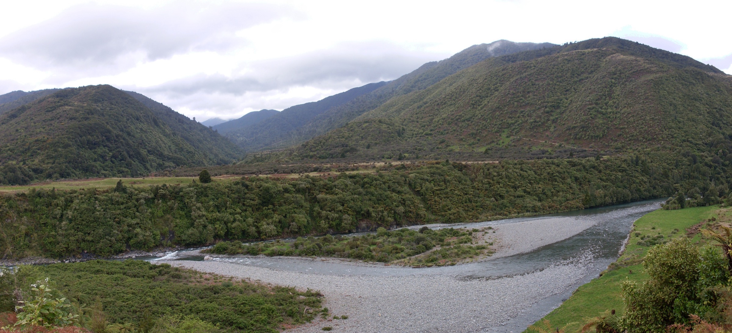
From Boielle Flat, cross the Waiotauru River footbridge and follow the loop across river terraces and gullies. The route climbs briefly to join the Field Track, then returns with views over the campground and river.
Why it is essential
Arcus Loop is the compact southern Tararua heritage and Te Araroa sampler — river terraces, early farming history and a direct connection with the Field Track gateway used by the Table Top and Kime Hut climbs above. It also works as a warm-up or wind-down for parties staying at Otaki Forks.
Equipment
- Walking shoes or light boots
- Rain layer and warm layer
- Water and sun protection
- Carry more if adding onto the Field Track or a longer Otaki Forks day
Hazards and notes
- Otaki Gorge Road access must be checked — DOC notes the last 5 km is closed to vehicles
- Predator-control caution periods — do not take dogs into affected areas during those periods
- Below the tops but on backcountry-track ground — carry a rain layer even for the short loop
Further reading
| Resource | Link |
|---|---|
| DOC — Tararua Forest Park | doc.govt.nz |
| DOC — Otaki Forks area | doc.govt.nz |
| DOC — Field Hut and Table Top | doc.govt.nz |
| DOC — Tararua Southern Crossing | doc.govt.nz |
| DOC — Kime Hut | doc.govt.nz |
| DOC — Kapakapanui Hut | doc.govt.nz |
| DOC — Dobson Loop Track | doc.govt.nz |
| DOC — Arcus Loop Track | doc.govt.nz |
| DOC — Waiotauru Track (Otaki Gorge Road closure note) | doc.govt.nz |
| MetService — Wellington / Kāpiti regional forecast | metservice.com |
| Wikipedia — Tararua Range | en.wikipedia.org |
| Wikimedia Commons — Tararua Range | commons.wikimedia.org |