Regional overview
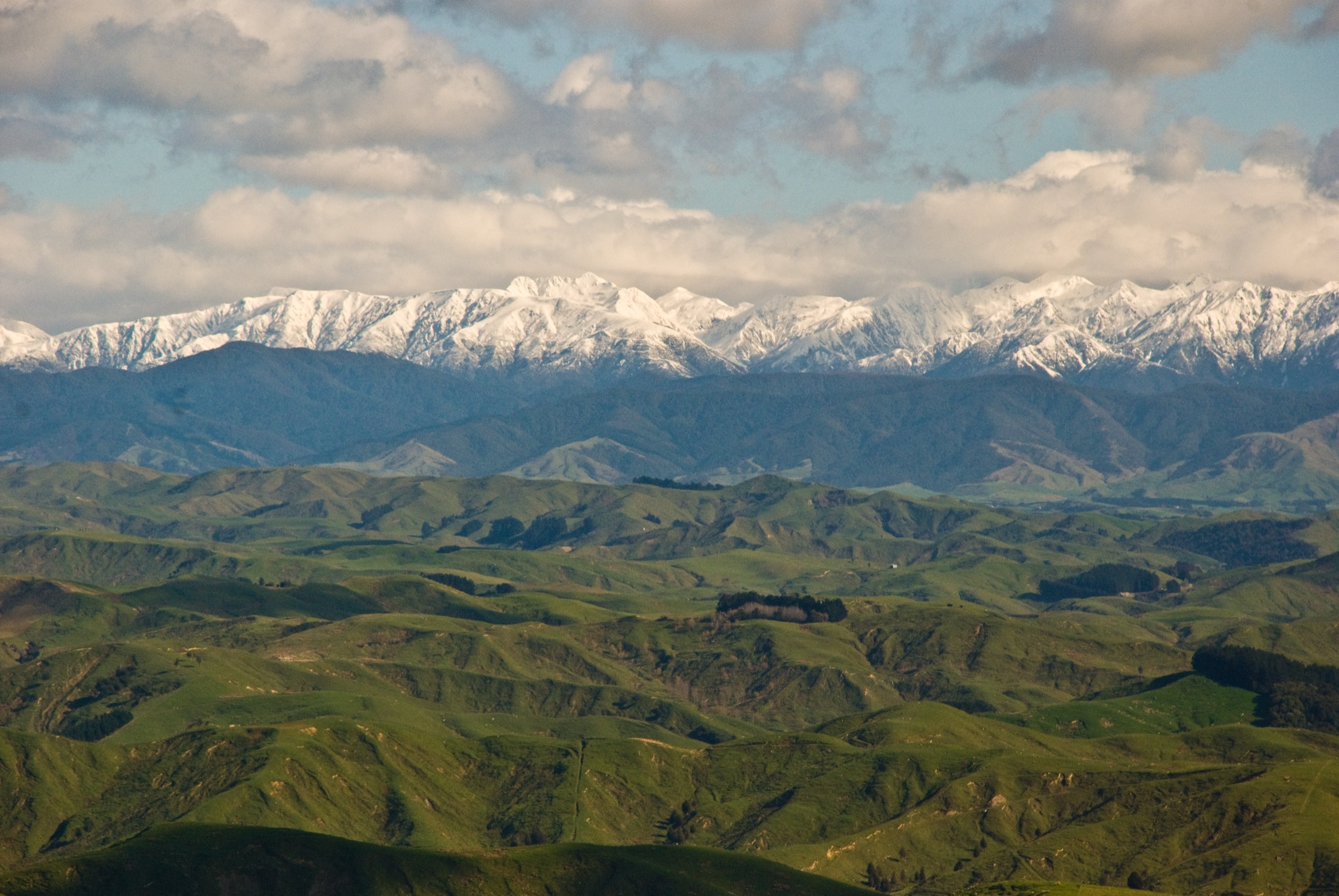
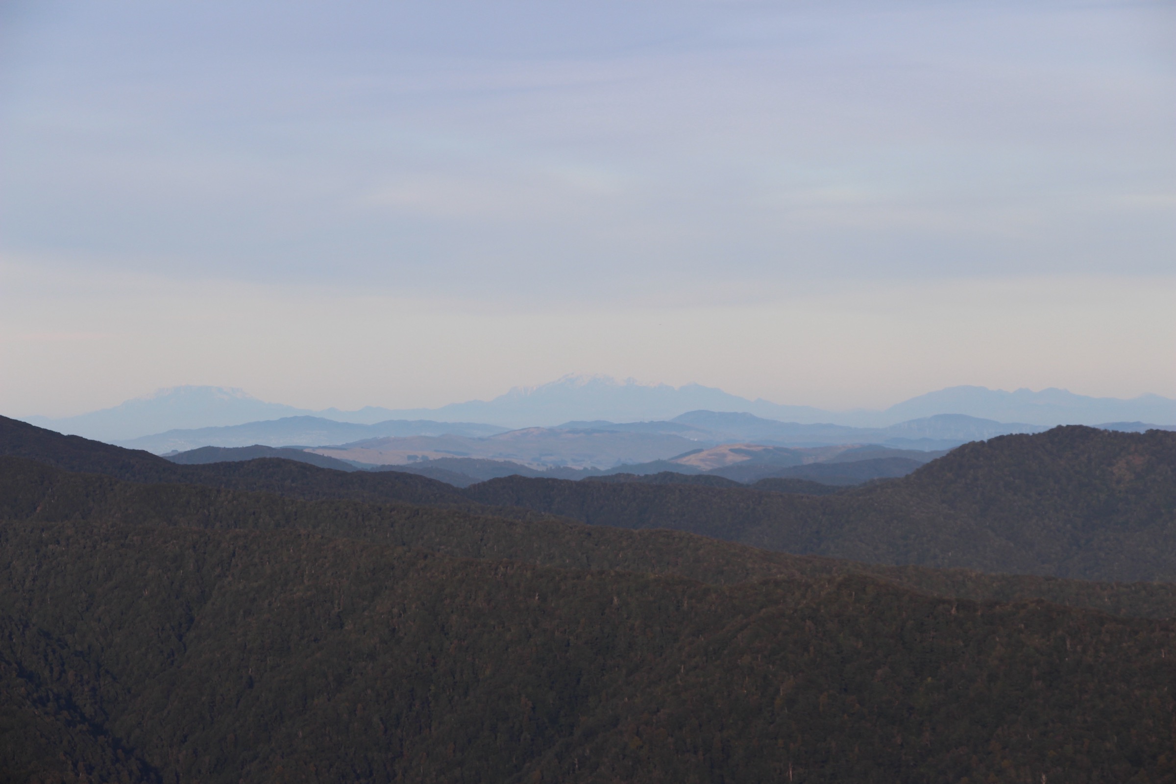
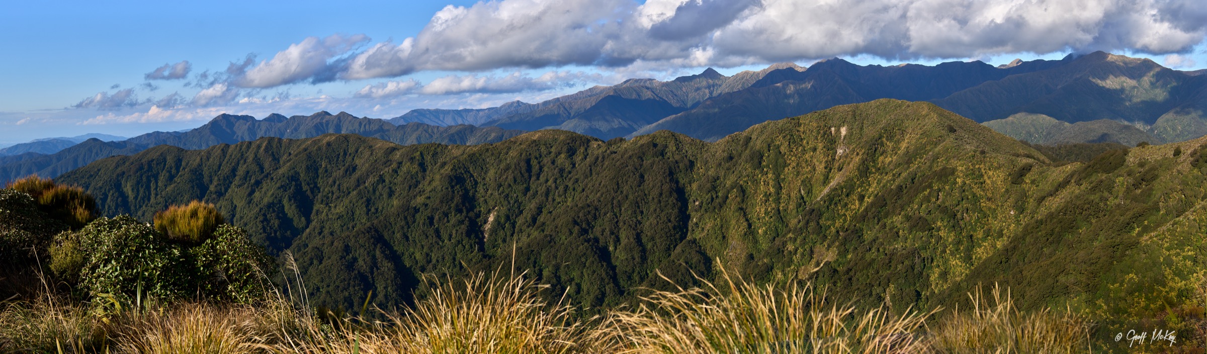
The central Tararuas are the core tramping country of Tararua Forest Park, centred on Mount Holdsworth (1,470 m) and Jumbo Peak (1,405 m) and reaching out through the Waingawa, Waiohine and Atiwhakatu catchments. Access clusters around three unsealed corridors: Mount Holdsworth Road / Holdsworth Lodge on the eastern side for the tops circuit and Atiwhakatu valley, Waingawa Road for the Mitre Flats approach below the highest Tararua summit area, and the Holdsworth-side start of the longer Holdsworth–Kaitoke route for Totara Flats. Trailheads are 30–60 minutes from Masterton and Carterton. Rail and bus connections reach Masterton, but the last few kilometres to any road end still need a private vehicle, taxi or pre-arranged shuttle.
The walking character is classic lower-North-Island backcountry: broad podocarp and beech forest on the flanks, rough tramping tracks through steep river valleys, and open tussock tops on the range crest. Route grading follows DOC’s tramping-track categories rather than the walking-track ones — three of the five routes here are DOC intermediate or advanced tramping tracks, and every one crosses ground where poor visibility, wind and cold rain routinely turn a day trip into a serious mountain outing. DOC warns repeatedly that the Tararua tops have caused fatalities in bad weather; the Powell Hut–Mount Holdsworth–Jumbo ridge in particular is a poled route through open ground that becomes difficult to navigate in cloud.
Several of the central Tararua objectives below are ones DOC catalogues as two- to three-day tramps. They appear here because they are also standard fit-walker day objectives — the Mount Holdsworth–Jumbo Circuit is regularly done in a single 13–14 hour day by experienced parties, and the Powell Hut / Mount Holdsworth return, the Atiwhakatu Hut approach, the Totara Flats approach and the Mitre Flats approach are all completable as long single days with a conservative turnaround plan. Where a route is more commonly done overnight, the entry says so; where a hut booking is required for overnight stays but not for a day return, the entry says that too.
Best season is roughly late November to April for the tops, with the shoulder months adding snow-and-ice judgement above the bushline. Freezing rain, whiteout cloud and gale-force wind can occur in any month, and the snow line drops below 1,000 m in southerly storms. Standard equipment for the tops routes is mountain kit: sturdy boots, waterproof shell, warm layers, warm hat and gloves, map and compass or offline GPS, headtorch and a Personal Locator Beacon. The valley routes need less exposure kit but the same weather margin.
Selection rationale
Five day-scale routes are presented across the central Tararuas. The Mount Holdsworth–Jumbo Circuit carries the signature tops-and-summit day; the Holdsworth Road end to Powell Hut and Mount Holdsworth out-and-back gives the same summit at half the distance for parties who don’t want the full loop; the Atiwhakatu Hut Track is the most approachable valley-hut day in the central range; the Totara Flats Hut approach from Holdsworth is the classic river-flats objective and a section of the longer Holdsworth–Kaitoke route; and the Mitre Flats Hut approach from Waingawa is the eastern entry to the highest Tararua summit area. Longer through-trips, the Mitre summit extension, and the full Holdsworth–Kaitoke traverse sit outside this day-hike entry.
Summary
| # | Hike | Trailhead | Route type | Distance | Gain | Max elevation | Difficulty |
|---|---|---|---|---|---|---|---|
| 1 | Mount Holdsworth – Jumbo Circuit | Holdsworth Lodge / Mount Holdsworth Road end | Loop | 22.9–24 km | 1,537 m | 1,470 m | Hard |
| 2 | Holdsworth Road end to Powell Hut and Mount Holdsworth | Holdsworth Lodge / Mount Holdsworth Road end | Out-and-back | 15.9 km | 1,015 m | 1,470 m | Hard |
| 3 | Atiwhakatu Hut Track | Mount Holdsworth Road end | Out-and-back | 13.7–14.4 km | 394 m | Unresolved | Moderate |
| 4 | Totara Flats Hut via Totara Creek and Gentle Annie | Holdsworth Lodge / Mount Holdsworth Road end | Out-and-back | 21.9 km | 1,270 m | Unresolved | Hard |
| 5 | Mitre Flats Hut via Barra Track | Waingawa Road end | Out-and-back | 15.8 km | 614 m | Unresolved | Hard |
1. Mount Holdsworth – Jumbo Circuit
Snapshot
Itinerary
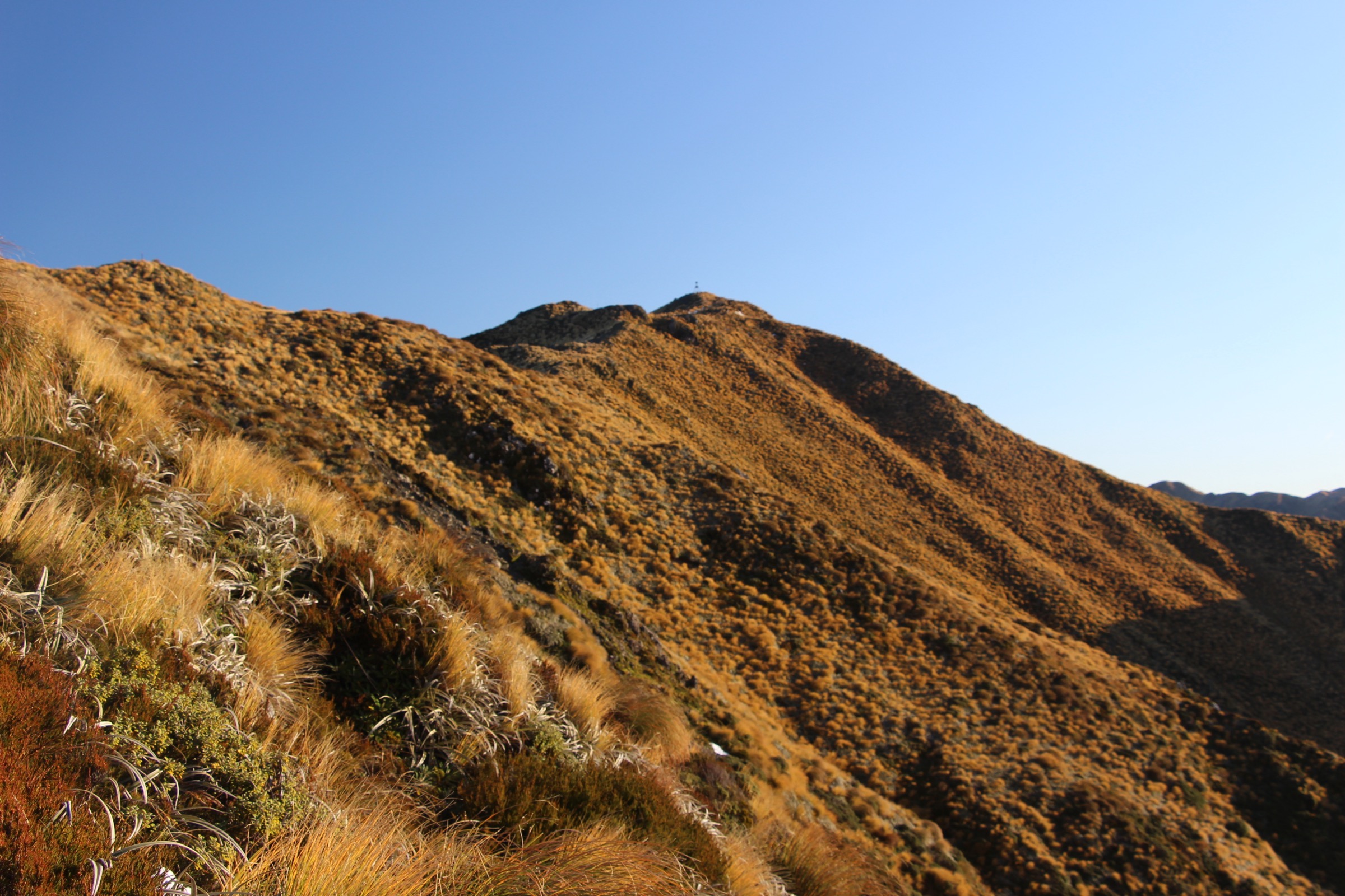
From Holdsworth Lodge, climb the Mount Holdsworth Track via Gentle Annie, Mountain House Shelter and Powell Hut at the bushline. Continue on the poled tops route to the Mount Holdsworth trig at 1,470 m, then follow the exposed ridge toward Jumbo Peak at 1,405 m and drop down to Jumbo Hut. From Jumbo Hut the descent runs down through beech forest via the Atiwhakatu Track back to the Holdsworth Road end.
Why it is essential
This is the signature central Tararua tops circuit: forest approach, bushline hut, summit ridge, 360-degree views in clear weather and a full descent through the Atiwhakatu valley. DOC catalogues it as one of the classic Tararua tramps, and it is the standard day-out benchmark for parties with experience on the Tararua tops.
Equipment
- Sturdy tramping boots with good ankle support
- Waterproof and windproof shell, warm mid-layer, spare warm layer
- Warm hat and gloves outside midsummer
- Map and compass, and offline GPS
- Headlamp with spare batteries — long day, early start likely
- 2.5–3 L water and food for a long day
- Personal Locator Beacon
- First-aid kit
Hazards and notes
- Powell Hut–Jumbo tops can be dangerous in bad weather — high winds, thick mist, freezing temperatures, rain, snow and icy ground are possible in any month
- The open tops are marked with poles but can be difficult to navigate in cloud — conservative turnaround plan required
- Hypothermia risk on the ridge in exposed conditions
- Long single day — leave at first light, plan for headlamp finish
- Check current DOC alerts, predator-control notices and weather forecasts before departure
2. Holdsworth Road end to Powell Hut and Mount Holdsworth
Snapshot
Itinerary
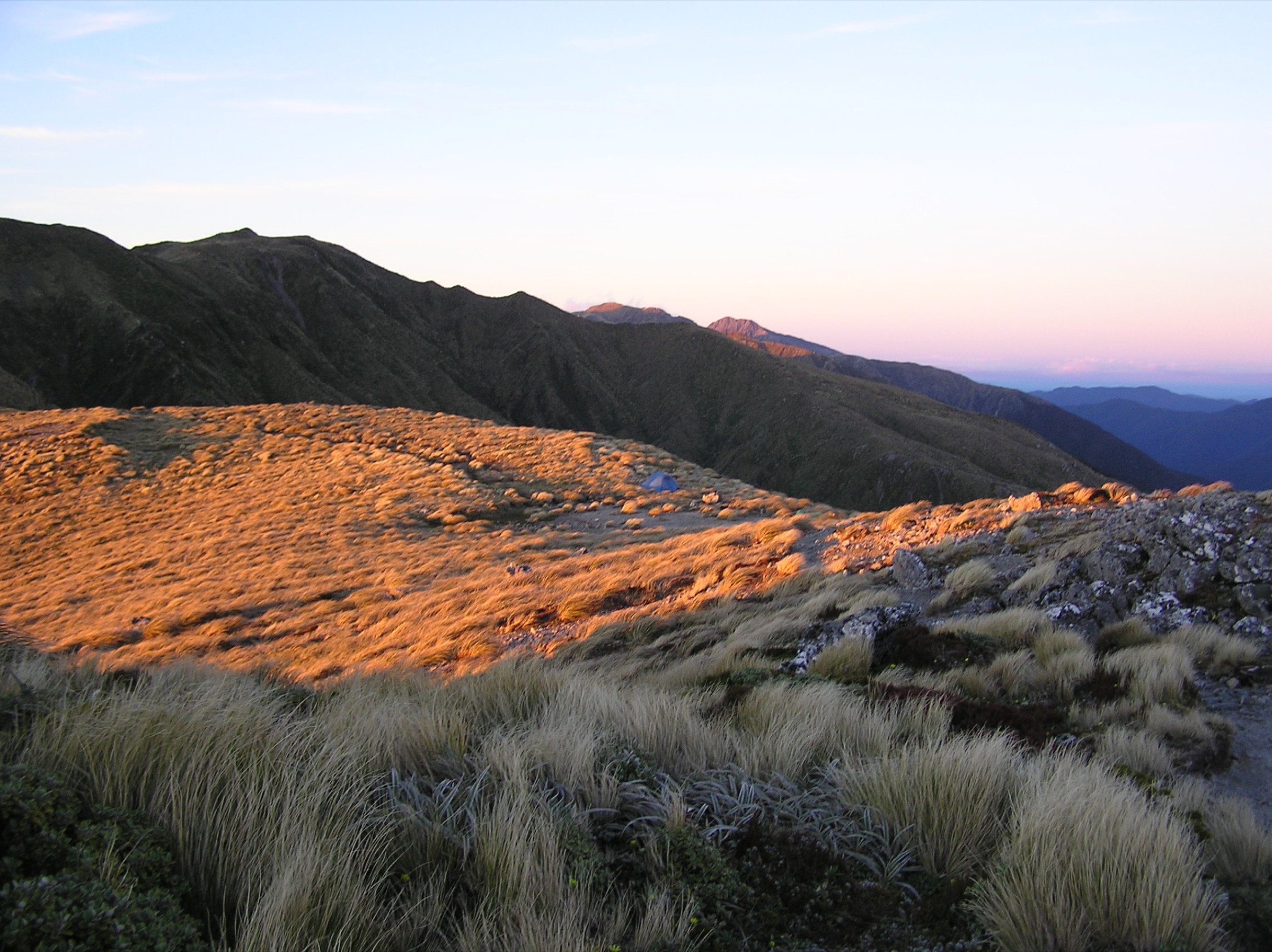
Start on the Gentle Annie Track and climb past Rocky Lookout and Mountain House Shelter. Above the shelter the gradient steepens through beech forest to the bushline at Powell Hut. Continue on the poled tops route to the Mount Holdsworth trig at 1,470 m. Return by the same track.
Why it is essential
This is the most direct central Tararua summit day from the eastern side — a formed approach, a major hut, a high open summit and a return without needing to descend the Jumbo side of the ridge. It is the standard summit objective for parties who don’t have the daylight or the appetite for the full Holdsworth–Jumbo Circuit.
Equipment
- Sturdy tramping boots
- Waterproof shell, warm mid-layer, spare warm layer
- Warm hat and gloves outside midsummer
- Map, compass and offline GPS
- Headlamp with spare batteries
- 2 L water and food for a long day
- Personal Locator Beacon
Hazards and notes
- Powell Hut to Mount Holdsworth is exposed to strong wind, mist, freezing temperatures, rain and snow
- Low visibility can make the poled tops route difficult to navigate — carry a compass and be prepared to turn around at Powell Hut in bad weather
- Hypothermia risk on the summit ridge
- DOC one-way times are substantial — start early and plan a headlamp finish
- Overnight parties need a Powell Hut booking; day returns do not require a booking
3. Atiwhakatu Hut Track
Snapshot
Itinerary
From the Mount Holdsworth Road end, follow the Atiwhakatu Track up the valley beside the Atiwhakatu Stream to Atiwhakatu Hut. Return by the same route. The track is used by families and first-time trampers but remains a backcountry valley route, not a graded walking track.
Why it is essential
Atiwhakatu is the central Tararuas’ most approachable hut day — a substantial forest-and-river walk that reaches a major serviced hut without crossing the open tops. It is the standard introductory Tararua hut trip and a useful shoulder-of-the-day objective before or after a tops day.
Equipment
- Sturdy walking shoes or tramping boots
- Rain shell and warm mid-layer
- Headlamp with spare batteries
- Map, compass and offline GPS
- 1.5–2 L water and food for the day
Hazards and notes
- High, narrow wire swing bridge with a one-person restriction on the approach
- Slip section requiring scrambling, and steep drop-offs on parts of the track
- The “easy hut” label does not remove the backcountry-track hazards after rain or storm damage
- Weather margin — carry more warm layers than the walking-in temperature suggests
4. Totara Flats Hut via Totara Creek and Gentle Annie
Snapshot
Itinerary
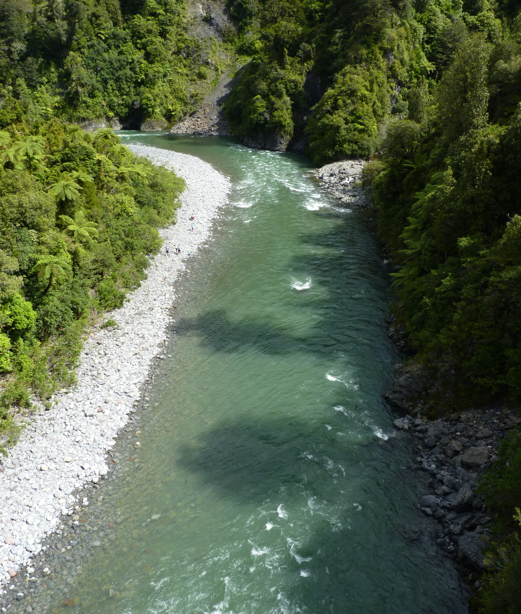
From the Holdsworth Road end, follow Gentle Annie and then the Totara Creek route toward the Waiohine valley. The track descends to Totara Flats Hut on the river flats above the Waiohine River. Return by the same track. This section forms part of the longer Holdsworth–Kaitoke route but is a standard fit-walker day return from the Holdsworth side.
Why it is essential
Totara Flats is the central Tararuas’ classic river-flat hut objective from the Holdsworth side — a long forest-and-valley day that ends on a broad river terrace beneath the western tops. It is the key section of the Holdsworth–Kaitoke traverse and one of the few opportunities to reach the western river country in a single day.
Equipment
- Sturdy tramping boots
- Waterproof shell and warm mid-layer
- Map, compass and offline GPS
- Headlamp with spare batteries — long return day
- 2.5 L water and food for a long day
- Personal Locator Beacon
- First-aid kit
Hazards and notes
- DOC rates parts of the route as advanced tramping track — slips, rough or indistinct sections and river/side-stream hazards on the wider Holdsworth–Kaitoke line
- River-level dependent — the Waiohine and side streams rise quickly in heavy rain
- Long return day — plan for headlamp finish
- Overnight stays at Totara Flats Hut require a booking; day returns do not
5. Mitre Flats Hut via Barra Track
Snapshot
Itinerary
From the Waingawa Road end, follow the Barra Track up the Waingawa valley to Mitre Flats Hut. Return by the same track. The hut sits below the high Mitre / Pukeamoamo summit area, but a summit extension is a separate day-out and is not covered in this catalogue.
Why it is essential
Mitre Flats is the standard eastern approach to the highest Tararua summit area, giving a substantial valley day in the most prominent central massif without committing to an unverified summit extension. It is the counterpart to the Holdsworth-side objectives and the natural choice when the tops routes are closed out by weather.
Equipment
- Sturdy tramping boots
- Waterproof shell and warm mid-layer
- Map, compass and offline GPS
- Headlamp with spare batteries
- 2 L water and food for a long day
- Personal Locator Beacon
Hazards and notes
- DOC rates the hut approach as advanced tramping track
- Waingawa is remote compared with Holdsworth; conditions after heavy rain can affect travel
- River-level dependent — the Waingawa and side streams rise quickly in rain
- Overnight stays at Mitre Flats Hut require a booking; day returns do not
- Pukeamoamo / Mitre summit extension is not covered here — treat any attempt as a separate, harder day
Further reading
| Resource | Link |
|---|---|
| DOC — Tararua Forest Park | doc.govt.nz |
| DOC — Holdsworth area | doc.govt.nz |
| DOC — Mount Holdsworth – Jumbo Circuit | doc.govt.nz |
| DOC — Holdsworth Road end to Powell Hut and Mount Holdsworth | doc.govt.nz |
| DOC — Atiwhakatu Hut | doc.govt.nz |
| DOC — Totara Flats Hut | doc.govt.nz |
| DOC — Holdsworth–Kaitoke Track | doc.govt.nz |
| DOC — Mitre Flats Hut | doc.govt.nz |
| MetService — Wellington / Wairarapa regional forecast | metservice.com |
| Wikipedia — Tararua Range | en.wikipedia.org |
| Wikimedia Commons — Tararua Range | commons.wikimedia.org |