Regional overview
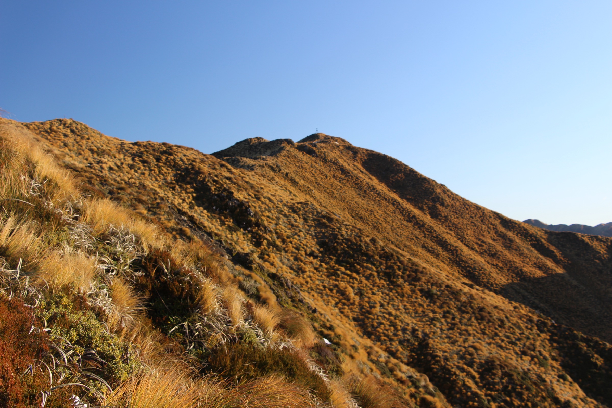
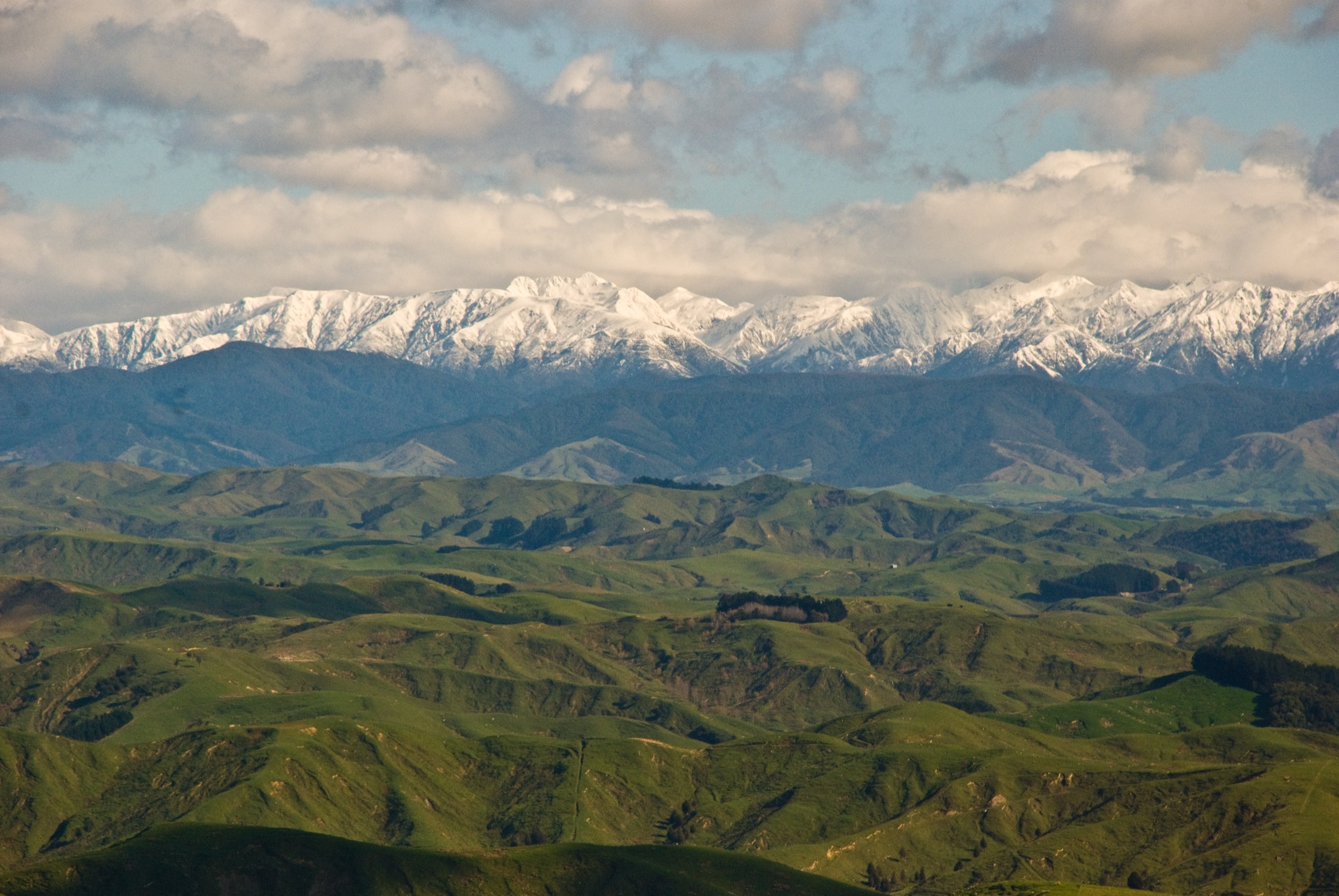
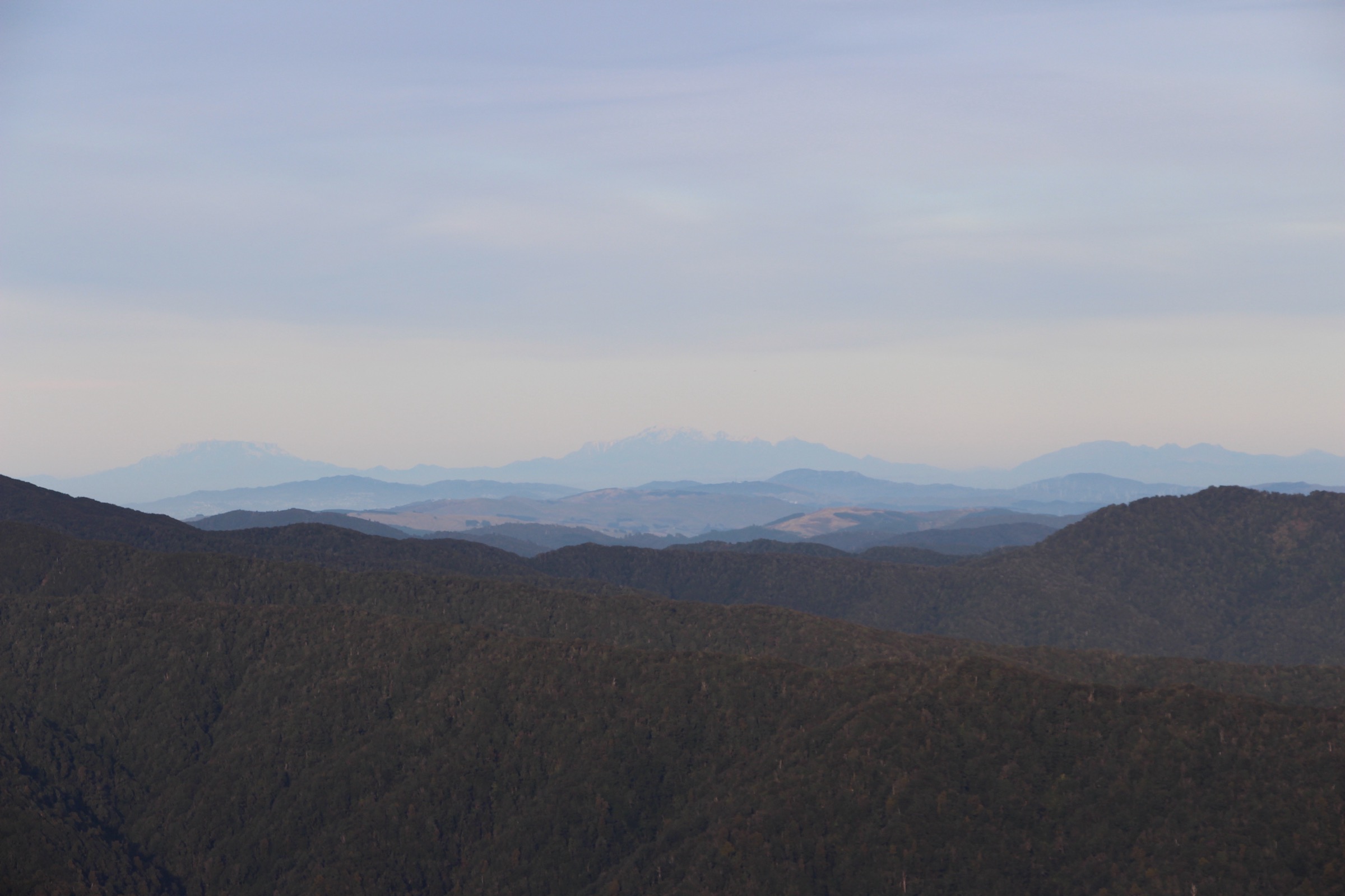
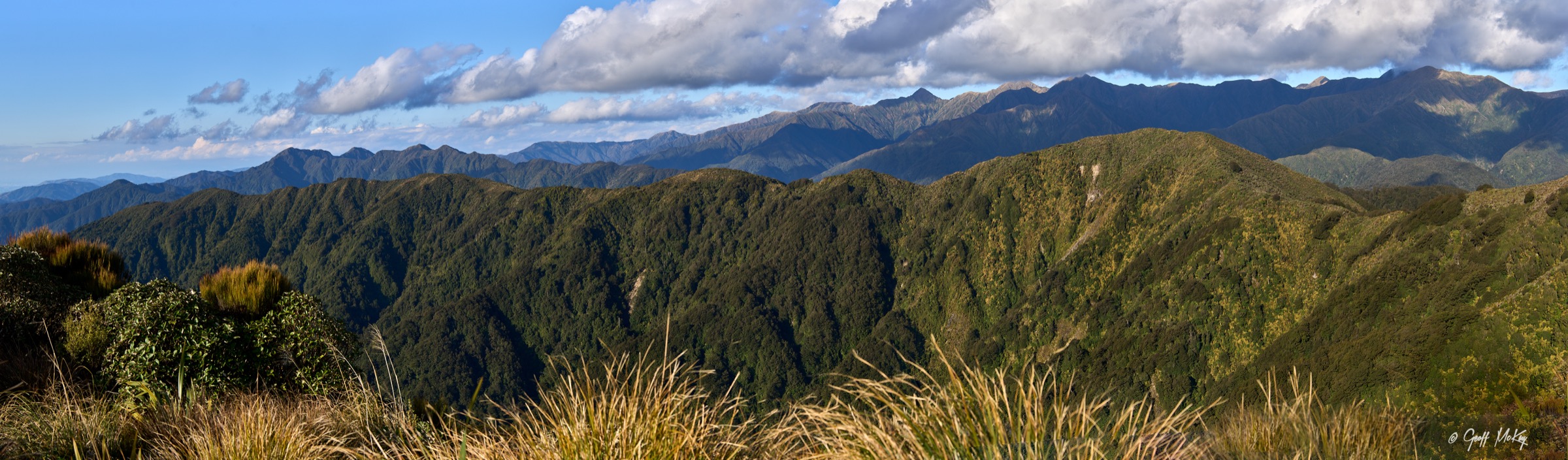
The northern Tararuas run from Eketāhuna and Pahiatua on the eastern side across the Main Range to the Mangahao hydro catchment and the Shannon–Levin foothills on the western side. This is a wet, forested and often muddy tramping landscape — beech and podocarp forest, unbridged side streams, leatherwood tops, hut approaches and long gravel-road access. There are no polished alpine walks here; the day objectives are all backcountry-style hut climbs or valley traverses.
Access is concentrated around three road ends. Putara Road in the Mangatainoka Valley gives the Herepai and Roaring Stag hut approaches. Mangahao Road from Shannon runs up the hydro catchment to the Lower No. 2 and Upper No. 1 reservoirs, opening the Burn Hut climb and the Mangahao Track. The southern end of the Mangahao–Makahika Track drops out at Poulton Drive near Levin. Public transport does not reach any of these road ends — a private vehicle or arranged shuttle is essential.
The Tararuas are known for fast-changing weather, heavy rainfall, slippery roots, river hazards and poor visibility on exposed ridges. DOC-published times for the Mangahao and Putara routes assume fit tramping parties on dry ground; they take longer than they look on a map. Rivers and side streams should not be crossed when flooded, and the Burn Hut and Mangahao Track routes have unbridged crossings that rise rapidly after rain. Standard equipment for all five hikes is mountain kit — sturdy boots, waterproof shell, warm layers, warm hat and gloves, map and compass or offline GPS, headlamp and a Personal Locator Beacon.
DOC does not publish full distance or elevation-gain statistics for most of these routes. The figures given below combine DOC walking times and section distances with AllTrails secondary geometry where DOC data is missing, and this is called out on each hike. No official GPX or KML downloads were found in the July 2026 research pass.
Selection rationale
Five day-scale routes are presented across the northern Tararuas. Herepai Hut from Putara Road End is the compact northern hut objective; Roaring Stag Hut Track is the classic full-day Putara Road hut route into the Ruamahanga Valley; Burn Hut from the Mangahao Lower No. 2 Reservoir climbs from the hydro lake through forest onto the leatherwood tops; Mangahao Track to Mangahao Flats Hut is the demanding river-valley day for very fit parties; and the Mangahao–Makahika Track is the coherent Te Araroa-linked traverse from the Shannon side to the Levin side. Shorter picnic walks and the multi-day Mangahao–Waiopehu circuit sit outside this day-hike catalogue.
Summary
| # | Hike | Trailhead | Route type | Distance | Gain | Max elevation | Difficulty |
|---|---|---|---|---|---|---|---|
| 1 | Herepai Hut from Putara Road End | Putara Road end | Out-and-back | ~10.0 km (AllTrails) | ~537 m (AllTrails) | Unresolved | Hard |
| 2 | Roaring Stag Hut Track | Putara Road end | Out-and-back | ~15.1 km (AllTrails) | ~464 m (AllTrails) | Unresolved | Hard |
| 3 | Burn Hut from Mangahao Lower No. 2 Reservoir | Mangahao Lower No. 2 Reservoir | Out-and-back | ~11.6 km (AllTrails) | ~633 m (AllTrails) | Unresolved | Hard |
| 4 | Mangahao Track to Mangahao Flats Hut | Mangahao Upper No. 1 Reservoir | Out-and-back | 22.8 km (DOC section total) | ~325 m (AllTrails, one way) | Unresolved | Very Hard |
| 5 | Mangahao–Makahika Track | Mangahao Road parking area to Poulton Drive, Levin | Point-to-point | 13 km (DOC) | ~459 m (AllTrails) | 657 m | Hard |
1. Herepai Hut from Putara Road End
Snapshot
Itinerary
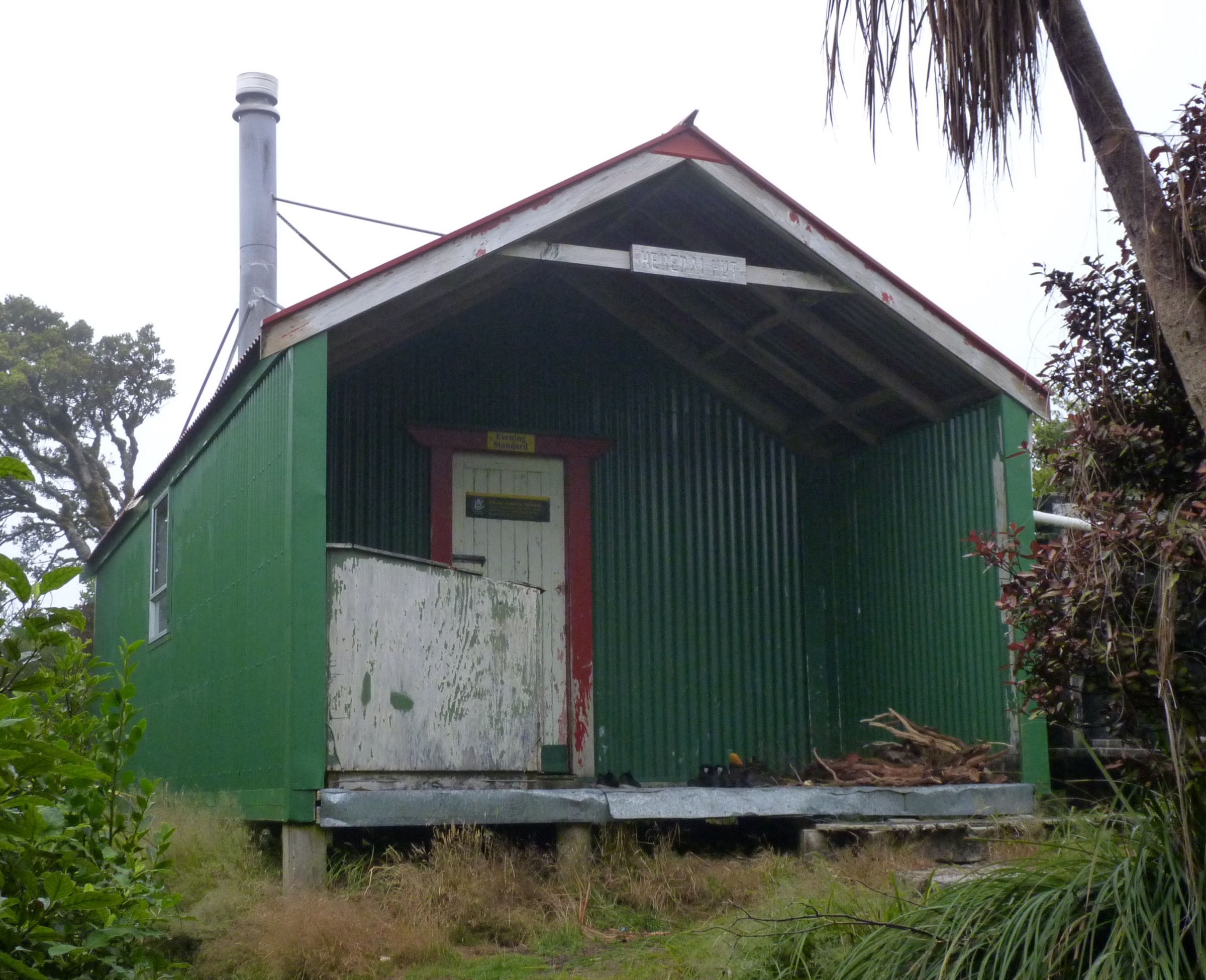
From Putara Road end, follow the tramping route into the Mangatainoka Valley and climb to the Herepai / Roaring Stag junction. The Herepai branch climbs steeply to Herepai Hut, a standard 10-bunk DOC hut on the ridge system leading toward Dundas and the central Tararuas. Return by the same track.
Why it is essential
Herepai Hut is the compact northern Tararua hut objective from Putara Road. It gives a shorter alternative to the full Roaring Stag day while still reaching true backcountry hut terrain — and it opens the ridge that continues toward Dundas Hut and the central Main Range for parties who want to see where the tops route goes next.
Equipment
- Sturdy tramping boots
- Waterproof and windproof shell, warm mid-layer, spare warm layer
- Map, compass and offline GPS
- Headlamp with spare batteries
- 2 L water and food for a long day
- Personal Locator Beacon
- First-aid kit
Hazards and notes
- Muddy roots and steep sections — the route is a backcountry tramping approach
- Stream hazards in the wider Putara / Roaring Stag network — check local conditions before departure
- Hut tickets or a Backcountry Hut Pass are required for overnight stays; day hikers do not need to book
- No mobile coverage at the road end or on the route — carry a PLB
2. Roaring Stag Hut Track
Snapshot
Itinerary
Start at the end of Putara Road in the Mangatainoka Valley. Follow the edge of farmland, cross a bridge over the Mangatainoka River, then follow the true left for about 2 km. A high swingbridge crosses the north branch of the Mangatainoka before the route climbs steeply to the Herepai / Roaring Stag junction. From the junction, the left-hand branch descends a long ridge into the Ruamahanga Valley, crossing river terraces and four unbridged side streams to reach Roaring Stag Hut on the Ruamahanga River. Return by the same track.
Why it is essential
Roaring Stag is the classic northern Tararua hut day from Putara Road. It combines farmland edge, river approach, a steep ridge climb, Ruamahanga valley forest and a standard DOC hut objective in one strong day — the full-length version of the day the Herepai climb sets up.
Equipment
- Sturdy tramping boots with good grip
- Waterproof and windproof shell, warm mid-layer, spare warm layer
- Warm hat and gloves outside midsummer
- Map, compass and offline GPS
- Headlamp with spare batteries — headlamp finish likely
- 2.5 L water and food for a long day
- Personal Locator Beacon
- Emergency shelter or bivvy bag
- First-aid kit
Hazards and notes
- Four unbridged side-stream crossings can rise significantly after rain — do not cross when flooded or unsafe
- Fast-changing Tararua weather — carry warm and waterproof clothing even with a good forecast
- Long day — an 8–9 hour return with route-finding through farmland and forest at the start
- Dogs allowed under control on the DOC page, subject to wider conservation-land rules
3. Burn Hut from Mangahao Lower No. 2 Reservoir
Snapshot
Itinerary
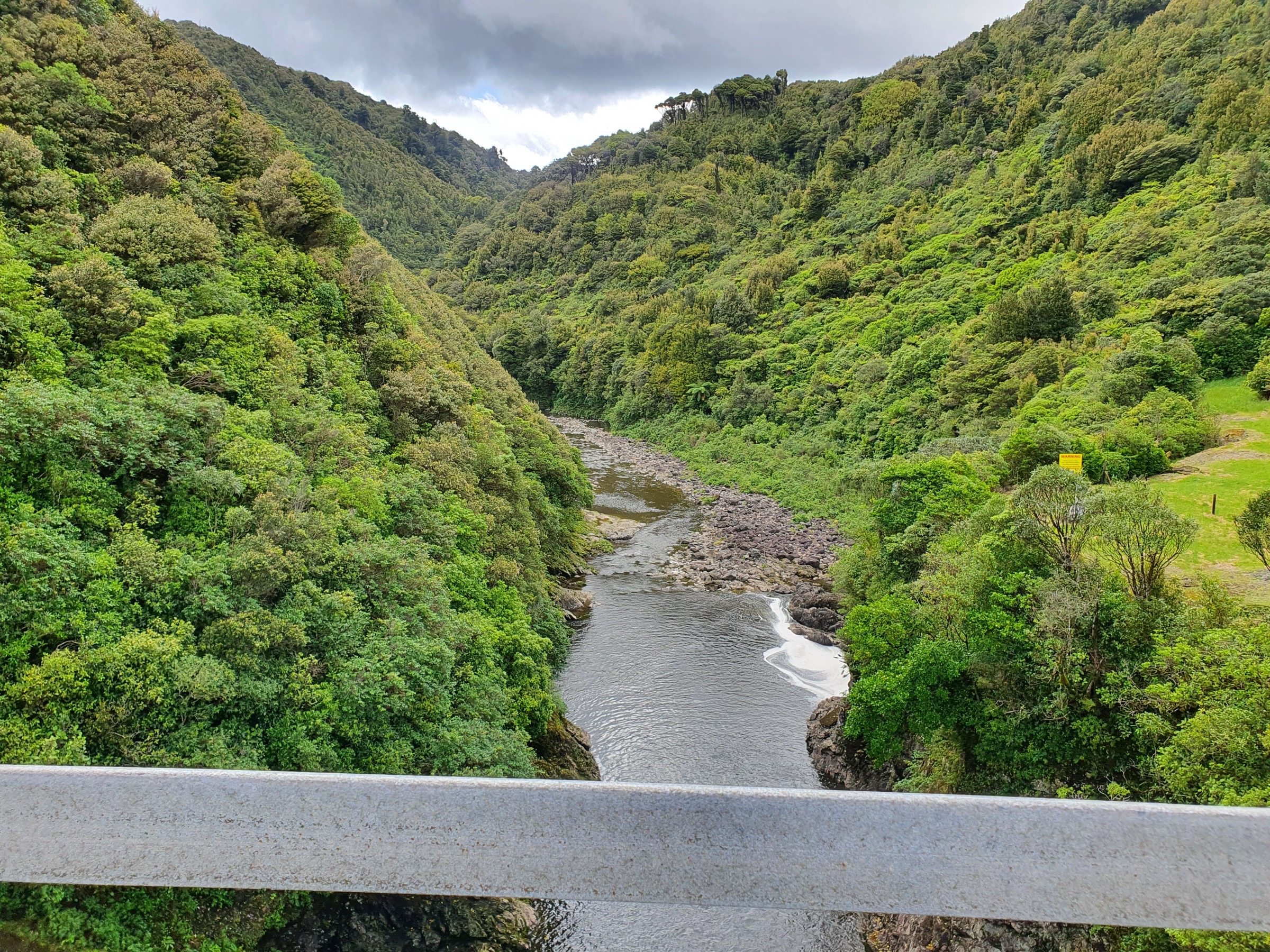
From the far side of Mangahao Lower No. 2 Reservoir, the track sidles down the true right of the river for about an hour, undulating over short rises and descents. Past a wooden bridge, the route climbs steadily for about an hour to the bushline, then emerges onto leatherwood-covered tops. Follow the ridge for another hour to Burn Hut on a small spur. Return by the same route.
DOC also describes an alternative descent from Burn Hut to Mangahao Upper No. 1 Reservoir via College Stream and Baber Creek, followed by a 4 km road walk back to the lower reservoir. That variant requires stream-bed travel and is not the default day-hike line.
Why it is essential
Burn Hut is the essential Mangahao tops day: a reservoir start, forest climb, leatherwood ridge travel and wide views across Horowhenua and the northern Wairarapa. It gives the northern Tararuas a different character from the Putara Road hut routes — the water, the leatherwood and the ridge view all in one day.
Equipment
- Sturdy tramping boots
- Waterproof shell and warm mid-layer
- Warm hat and gloves — the tops are exposed
- Map, compass and offline GPS
- Headlamp with spare batteries
- 2 L water and food for a long day
- Trekking poles help on the long muddy climb and descent
- Personal Locator Beacon
- Emergency shelter or bivvy bag
Hazards and notes
- College Stream alternative is unformed — boulder hopping and repeated crossings, impassable after heavy rain
- Exposed leatherwood tops — wind and low cloud make navigation harder
- Mangahao Road is narrow, winding gravel — drive slowly, in daylight where possible
- Steep climb with ~633 m of gain on a route rated advanced tramping
4. Mangahao Track to Mangahao Flats Hut
Snapshot
Itinerary
From Mangahao Upper No. 1 Reservoir, the track follows the side of the reservoir and then travels up the Mangahao River valley to Mangahao Flats Hut. It is a rough Tararua backcountry tramping track — roots, mud, steep sections and multiple unbridged crossings. Return by the same route.
DOC gives 6–7 hours one way. A same-day return is only suitable for very fit and experienced parties in dry conditions with an early start — most groups should treat this as a two-day hut trip.
Why it is essential
This is the northern Tararuas’ key river-valley day — long, wild and strongly defined by the Mangahao catchment. It is included as a demanding hut objective rather than a comfortable walk: for parties with the river skills and daylight, the valley opens the central Tararua river country from a road end most Wellington-based trampers never see.
Equipment
- Sturdy tramping boots
- Waterproof and warm layers, spare dry layer for delays at crossings
- Water treatment and extra food
- Map, compass and offline GPS
- Headlamp with spare batteries
- Personal Locator Beacon
- Emergency shelter — flooding delays are realistic
Hazards and notes
- Multiple unbridged crossings — DOC requires good river-crossing skills
- Do not cross rivers when flooded, unsafe or without safe entry and exit — turn around and wait or retreat
- Flooding may delay travel — carry emergency shelter and spare food
- Mangahao Road is narrow, winding gravel — factor drive time in both directions
5. Mangahao–Makahika Track
Snapshot
Itinerary
From the Mangahao Road parking area, the track enters bush and climbs to a low spur, then continues south for about 2.5 km past large rimu trees. It descends and crosses three unbridged tributaries of Blackwood Stream, then gains elevation gradually onto Makahika Ridge, passing the 657 m high point and openings with views toward Mangaore Stream, Kāpiti Island and, in clear weather, the South Island.
Horowhenua Lookout is reached roughly 3–4 hours from the road end. The track then descends from Makahika Ridge, passes Kapiti Viewpoint / Archey’s Lookout, reaches the historic Makahika tramline and follows benched tramline remnants. Several Makahika Stream crossings lead to the park boundary and a poled right of way across private land to Poulton Drive.
Why it is essential
Mangahao–Makahika is the most coherent northern Tararua day traverse: a Te Araroa section with native forest, ridge views, historic tramline remnants, stream crossings and a full point-to-point feel between the Shannon and Levin sides — the one route in this catalogue that genuinely crosses the range rather than climbing to a hut and back.
Equipment
- Sturdy tramping boots
- Waterproof and warm layers
- Map, compass and offline GPS
- Headlamp with spare batteries
- 2 L water and food
- Trekking poles for stream crossings and muddy descents
- Personal Locator Beacon
- Prearranged car shuttle at the Poulton Drive end
Hazards and notes
- Unbridged tributary and stream crossings — including Makahika Stream, which rises significantly after rain
- Poled right of way across private land at the southern end — follow markers carefully and respect the crossing
- Dogs allowed on a leash only according to the DOC page
- Point-to-point logistics — no public transport between road ends; a shuttle or two-car exchange must be arranged in advance
Further reading
| Resource | Link |
|---|---|
| DOC — Tararua Forest Park | doc.govt.nz |
| DOC — Herepai Hut | doc.govt.nz |
| DOC — Roaring Stag Track | doc.govt.nz |
| DOC — Burn Hut Track | doc.govt.nz |
| DOC — Mangahao Track | doc.govt.nz |
| DOC — Mangahao–Makahika Track | doc.govt.nz |
| DOC — Mangahao–Makahika Track brochure (PDF) | doc.govt.nz |
| MetService — Wellington / Kāpiti regional forecast | metservice.com |
| MetService — Manawatū regional forecast | metservice.com |
| Wikipedia — Tararua Range | en.wikipedia.org |
| Wikimedia Commons — Tararua Range | commons.wikimedia.org |