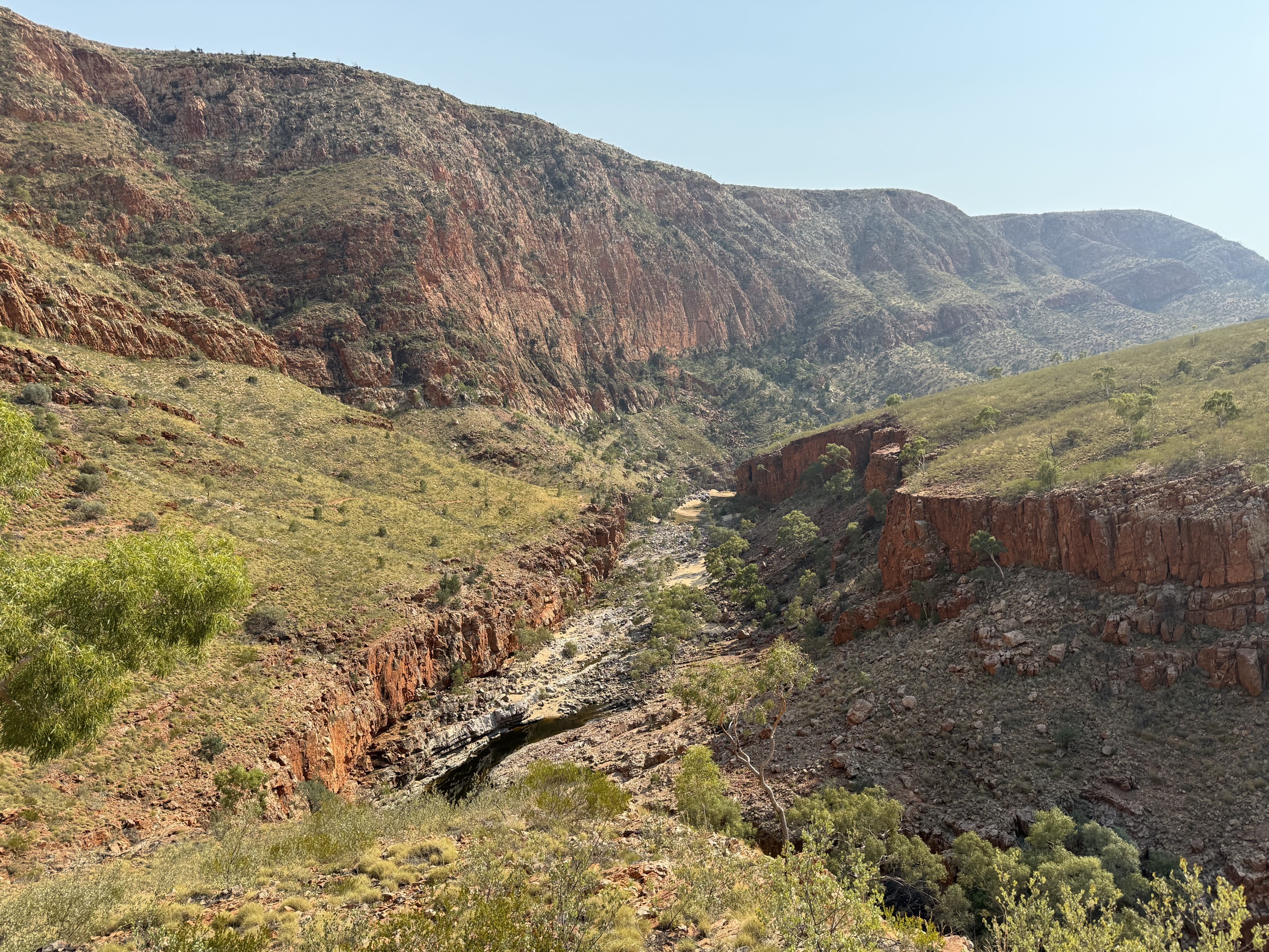
Regional overview
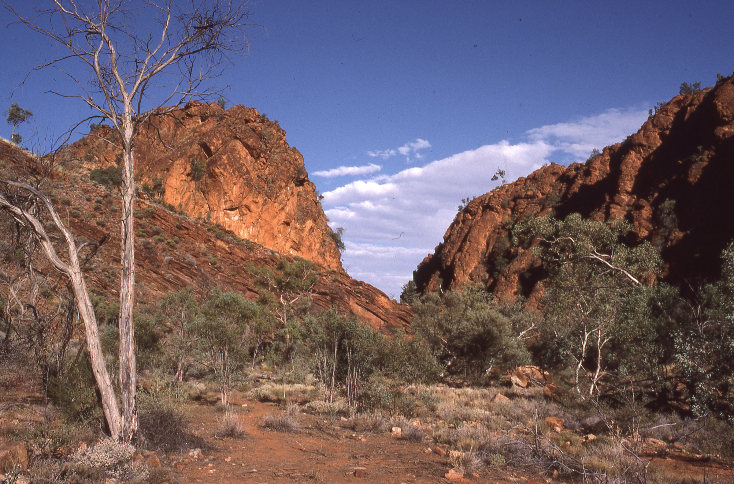
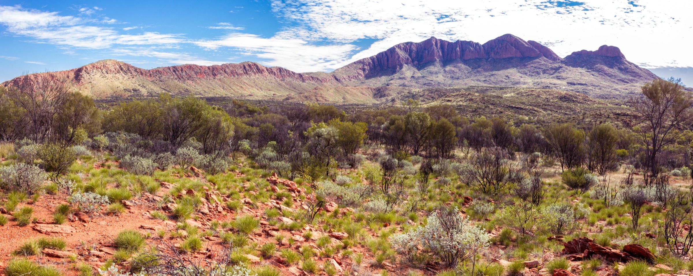
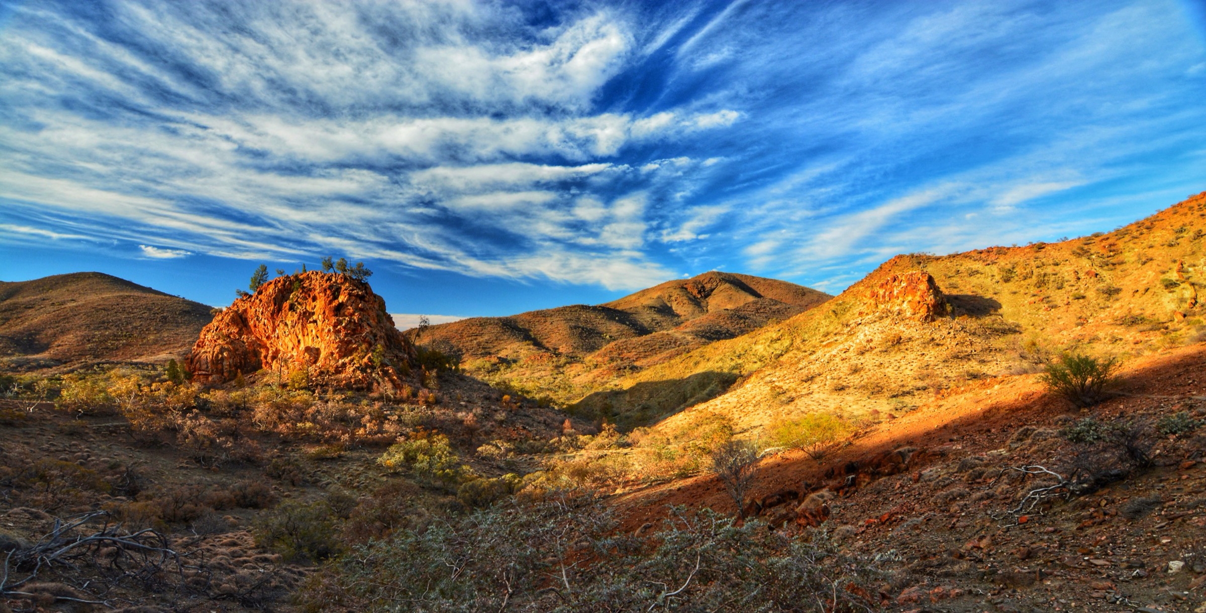
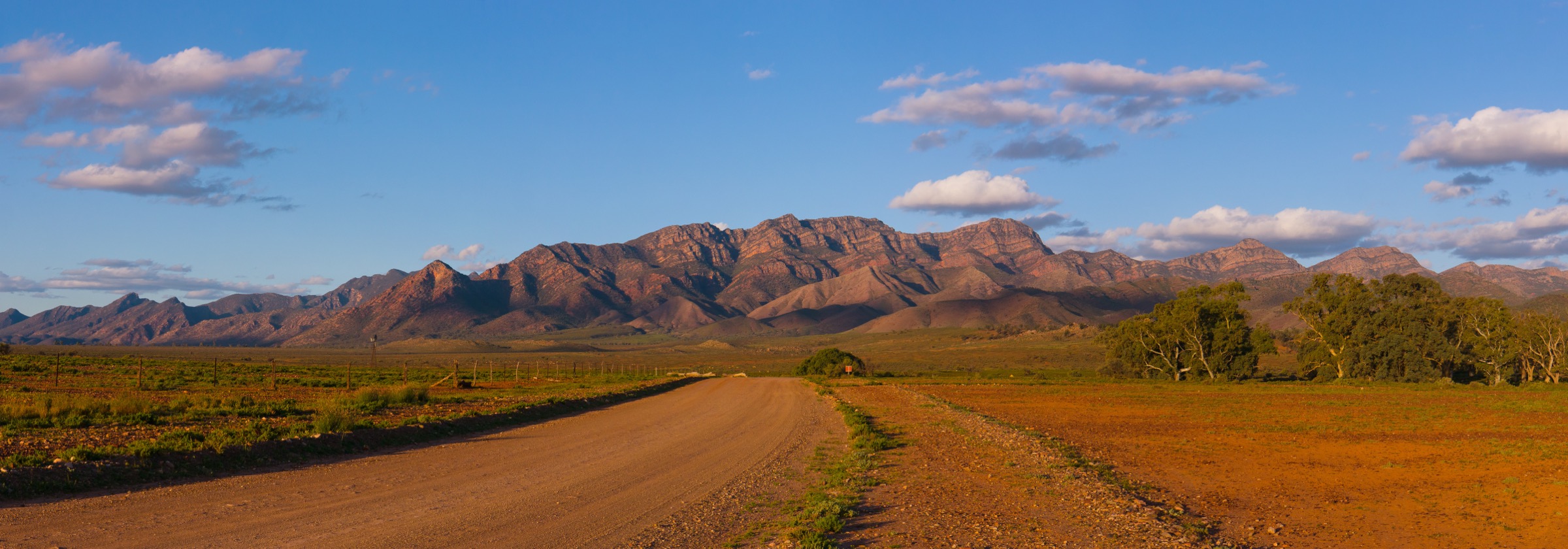
Tjoritja / West MacDonnell National Park stretches roughly 160 km west of Alice Springs / Mparntwe along the quartzite spine of the Chewings and Heavitree ranges. The park protects a sequence of deeply-cut river gorges — Simpsons Gap, Standley Chasm, Ellery Creek Big Hole, Serpentine Gorge, Ochre Pits, Ormiston Gorge and Redbank Gorge — separated by open mulga plains and cypress-pine ridges, and it forms the western half of the wider MacDonnell Ranges corridor. The park is Arrernte country, jointly managed by the Northern Territory Government and the Central Land Council on behalf of Traditional Owners, and many features carry Arrernte names alongside their common names.
The walking spectrum ranges from short, waymarked site walks at each gorge — most under 5 km — through the classic Ormiston Pound and Gorge circuit at 9.5 km, up to the long section walks of the Larapinta Trail that traverse the same ridgelines and are covered separately in the Larapinta Trail Corridor entry. The five walks selected here are the “site-based” objectives at the gorges themselves: short by international mountain-region standards, but the defining day-walking experiences of the West MacDonnells.
The dominant hazard is heat. Northern Territory Parks operates an Extreme Heat Policy that closes longer walks when the Alice Springs forecast reaches 36 °C, and daytime temperatures frequently exceed that from October to March. Water availability at trailheads is limited, most walks have no shade, and mobile coverage is patchy away from the sealed roads. Sunrise and late-afternoon starts, generous water carries and a Personal Locator Beacon on the Larapinta-linked ridge walks are standard local practice.
Summary table
| # | Hike | Route type | Distance | Estimated time | Difficulty | Verification |
|---|---|---|---|---|---|---|
| 1 | Ormiston Pound & Gorge Walk | Loop | 9.5 km | 3–4 h | Grade 3 / moderate | Route verified; official page confirms; stats cross-referenced with Trail Hiking Australia |
| 2 | Standley Chasm — Angkerle Atwatye main walk | Out-and-back | ~2.4 km return | ~30 min | Grade 1 / access path | Route verified via standleychasm.com.au |
| 3 | Ellery Creek Big Hole — Dolomite Circuit | Loop | 2.5 km | ~1 h 15 min | Grade 3 / moderate | Route verified; official page + Trail Hiking Australia |
| 4 | Serpentine Gorge Lookout | Out-and-back | 2.8 km return | ~1 h | Class 3 / medium | Partially verified; official page confirms; elevation from Aussie Bushwalking |
| 5 | Simpsons Gap — Cassia Hill Walk | Loop | 1.8 km | ~45 min | Easy / family | Route verified; official page + Aussie Bushwalking |
Before you go
Access
All five walks are on sealed roads west of Alice Springs. Simpsons Gap sits 24 km along Larapinta Drive, Standley Chasm is a further 26 km on Larapinta Drive, and Ellery Creek Big Hole, Serpentine Gorge and Ormiston Gorge are strung along Namatjira Drive between 90 km and 135 km from town. There is no scheduled public transport to the trailheads; visitors typically self-drive, join a shuttle or a guided tour, or arrange a Larapinta trailhead transfer with a licensed operator. Standley Chasm — Angkerle Atwatye is on Iwupataka Aboriginal Land Trust and charges a per-adult entry fee; the other four sites are inside the national park and do not charge day-use fees.
Standard kit
- Sturdy walking shoes or light hiking boots — quartzite scree at Serpentine Gorge Lookout and rock steps at Cassia Hill are the main technical points.
- Wide-brim hat, sunglasses and high-SPF sunscreen — every walk is largely unshaded.
- Water: 2 litres minimum for any of the four short walks in mild weather; treat 3–4 litres as the floor on the Ormiston Pound & Gorge circuit and add more for warm days.
- Long sleeves and long trousers for sun and spinifex.
- Offline map (NT Parks trail cards or the AUSLIG Larapinta topos), power bank, headlamp for the shoulder seasons and a small first-aid kit.
- Personal Locator Beacon is standard practice on the ridge sections of the Ormiston Pound and Serpentine Gorge Lookout walks and mandatory-in-practice for anyone stepping onto the Larapinta Trail from these trailheads.
Common hazards
- Extreme heat, dehydration and heatstroke are the most common serious incidents in the park. NT Parks closes walks under the Extreme Heat Policy.
- Rockfall and slippery quartzite steps at the Serpentine Gorge Lookout and Ormiston Pound climb-out.
- Flash flooding in the gorges and Ellery Creek waterhole after rain events, even when the weather at the trailhead is dry.
- Fire — the ranges carry a summer bushfire risk and the park has published fire-danger closure procedures.
- Cultural sites — several rock-art panels, waterholes and named features are sacred to the Arrernte Traditional Owners. Stay on marked trails, do not climb on rock-art surfaces and observe signage.
1. Ormiston Pound & Gorge Walk
Snapshot
Itinerary
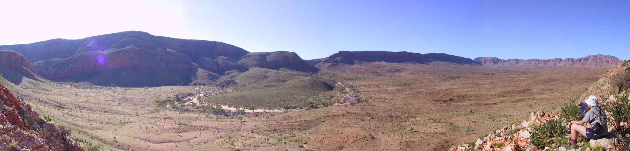
The circuit leaves the Ormiston Gorge day-use area, climbs an unmarked but signposted ridge on the west side of the gorge onto the rim of Ormiston Pound — a natural amphitheatre roughly 5 km across, ringed by the Heavitree Range and with Mount Giles rising to the north-east — and drops off the pound’s northern edge into the upper Ormiston Creek. The return follows the creekbed south through the gorge, past permanent waterholes and over rounded riverbed cobbles, and is normally done anticlockwise so the steep climb is taken early. NT Parks rates the walk as a 3–4 hour, Grade 3 circuit and recommends starting no later than mid-morning outside the coolest months.
Why it is essential
Ormiston Pound is the marquee day walk of the West MacDonnells: the only site-based circuit that combines a full ridge climb, an inland pound landscape and a wading return through the park’s largest permanent waterhole. It is the walk NT Parks itself uses as the flagship day objective in park literature.
Hazards and notes
- Heat is the most serious risk; NT Parks may close the pound circuit under the Extreme Heat Policy.
- The gorge return can require wading, and the deep waterhole at the mouth may be impassable dry-shod after wet events.
- The pound rim has patchy waymarking; navigation is straightforward in good visibility but exposed in wind or rain.
- Dogs are not permitted in Tjoritja / West MacDonnell National Park.
- Cultural sites — respect signage around named waterholes.
GPX / KML links
| Source | URL | Format | Notes |
|---|---|---|---|
| NT Parks — Ormiston Gorge | nt.gov.au | Official park page | No GPX published on the official page in this pass |
| NT Parks — Ormiston Gorge fact sheet (PDF) | nt.gov.au | Official PDF map | NT Parks terms |
| Trail Hiking Australia — Ormiston Pound & Gorge Walk | trailhiking.com.au | Third-party route page with stats | GPX is copyright and not reusable per site notice |
Further reading
- NT Parks — Ormiston Gorge
- NT Parks — Tjoritja / West MacDonnell National Park fact sheet (PDF)
- Trail Hiking Australia — Ormiston Pound & Gorge Walk
2. Standley Chasm — Angkerle Atwatye main walk
Snapshot
Itinerary
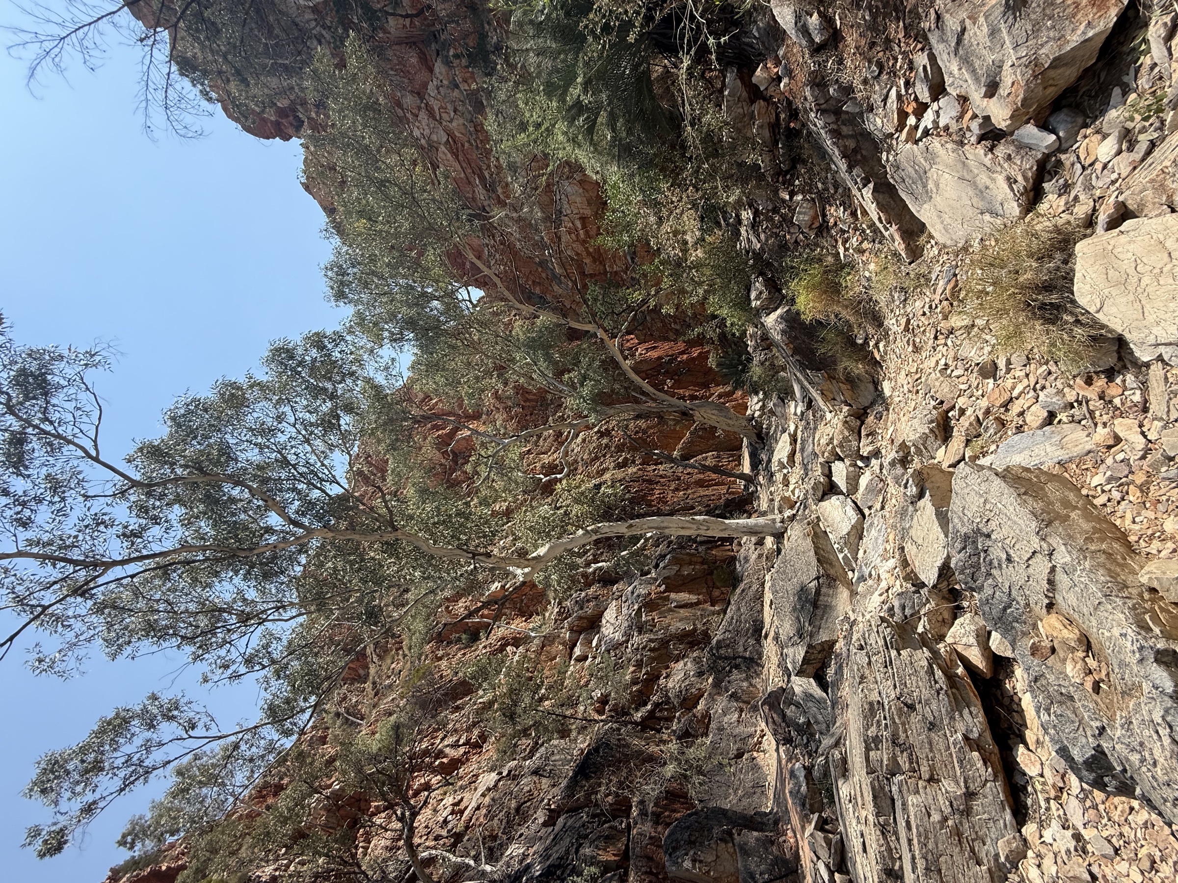
The main walk leads from the kiosk and café at the entrance up a graded creek-bed path shaded by ghost gums and cycads, and reaches the chasm itself in about 15 minutes. The chasm is a slot cut into the Chewings Range’s vertical quartzite band, roughly 80 m high and only a few metres wide at the base. Return by the same path. Longer branch walks from the chasm — the Larapinta side-track towards Brinkley Bluff, and Bridle Path and Larapinta Lookout circuits — are separate objectives and are not part of the main access walk.
Why it is essential
Standley Chasm — Angkerle Atwatye is the West Macs’ most recognisable single feature and the region’s clearest example of an Aboriginal-owned and Aboriginal-operated visitor site. The main access walk is short but does the essential job: it delivers visitors into the chasm at the hour the light strikes the walls, which is the entire reason the site is famous.
Hazards and notes
- Rockfall from the chasm walls; the site keeps visitors well clear of the base.
- Flash flood risk in the creek bed after rain.
- Cultural site: photography of the chasm is welcomed by the Traditional Owners, but observe on-site signage regarding restricted zones and other Iwupataka land.
- Entry fee applies; check current opening hours as the site is privately operated.
- Dogs are not permitted.
GPX / KML links
| Source | URL | Format | Notes |
|---|---|---|---|
| Standley Chasm — official site | standleychasm.com.au | Official operator site | No GPX published; the walk is short and follows the creek bed |
| AllTrails — Standley Chasm Trail | alltrails.com | Third-party route page | Secondary reference |
Further reading
3. Ellery Creek Big Hole — Dolomite Circuit
Snapshot
Itinerary
The circuit leaves the day-use area, climbs onto the low ridge on the east side of the creek to interpret the dolomite-and-quartzite contact that dammed the waterhole, and drops back through mulga to join the southern alignment of the Larapinta Trail for the return. It reaches the Big Hole waterhole at its high point of the circuit and returns to the car park along the creek. The route is signposted as a self-guided geology trail; interpretation panels on the ridge explain how the folding of the ranges produced the near-vertical strata visible in the cliffs on either side of the waterhole.
Why it is essential
The circuit is the clearest short geology walk in the West Macs and the most direct way to understand why the Heavitree quartzite forms the gorge line. It supplements the routine short walk to the swimming hole with a 2.5 km loop that gives real interpretive value.
Hazards and notes
- The waterhole is very cold year-round — a well-known drowning hazard for unprepared swimmers.
- Flash flooding in Ellery Creek can close the site with little warning.
- Rocky footing in the creek bed; walking poles help older visitors on the loop’s rougher sections.
- Dogs are not permitted.
GPX / KML links
| Source | URL | Format | Notes |
|---|---|---|---|
| NT Parks — Ellery Creek Big Hole | nt.gov.au | Official park page | No GPX published on the official page |
| NT Parks — Ellery Creek fact sheet (PDF) | nt.gov.au | Official PDF map | NT Parks terms |
| Trail Hiking Australia — Ellery Creek Dolomite Circuit | trailhiking.com.au | Third-party route page with stats | GPX not reusable per site notice |
Further reading
4. Serpentine Gorge Lookout
Snapshot
Itinerary
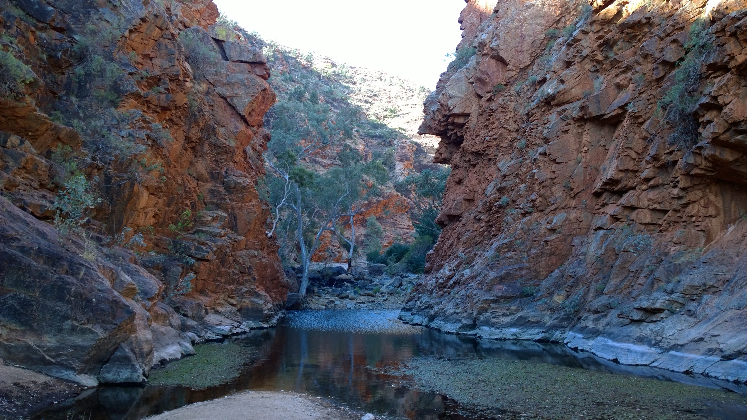
Follow the marked track from the car park roughly 900 m into the mouth of Serpentine Gorge, then take the signposted stepped path branching right and up the north wall to the lookout on the rim. The stepped ascent is about 65 m over a few hundred metres and delivers a straight-down view into the gorge and out across the Heavitree Range. Return by the same route; the short spur to the waterhole at the gorge mouth is a natural extension.
Why it is essential
The lookout gives the most direct high viewpoint over a Tjoritja gorge from a short site walk. It is the walk that best answers “what does a West Macs gorge look like from above” without committing to a Larapinta section.
Hazards and notes
- Rock steps are steep and can be slippery when wet.
- No shade on the lookout climb; heat is the primary hazard.
- The rim is unfenced — keep well back from cliff edges, especially with children and dogs (dogs are not permitted anyway).
- Flash flood risk in the gorge below.
GPX / KML links
| Source | URL | Format | Notes |
|---|---|---|---|
| NT Parks — Serpentine Gorge | nt.gov.au | Official park page | No GPX published on the official page |
| Aussie Bushwalking — Serpentine Gorge Lookout | aussiebushwalking.com | Third-party route page with stats | Secondary source used for elevation |
Further reading
5. Simpsons Gap — Cassia Hill Walk
Snapshot
Itinerary
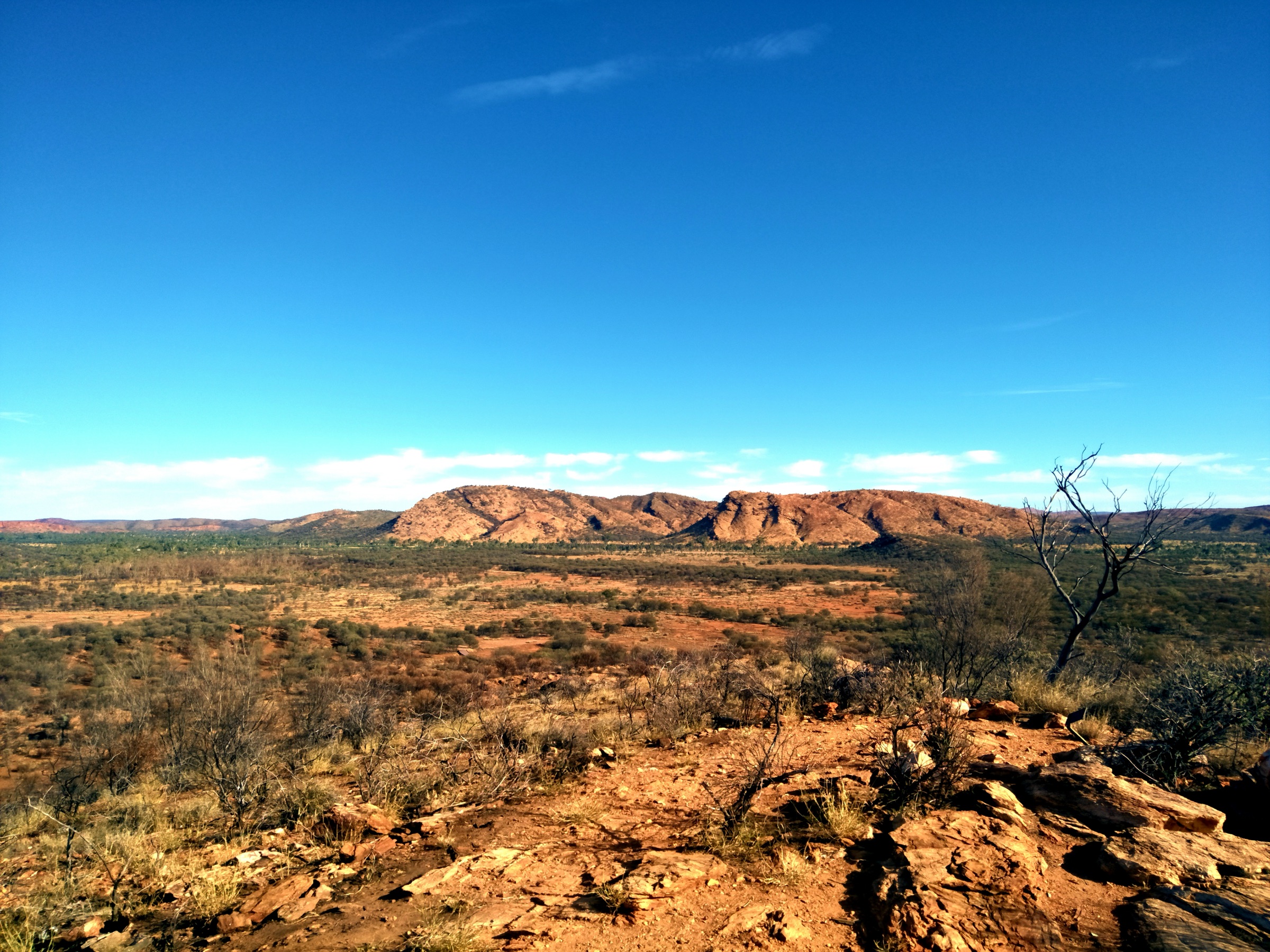
The path leaves the Cassia Hill car park, runs 300 m across the mulga flat to the base of the hill, then climbs a graded loop to the summit ridge and returns by the same track. From the top the walk gives a compact panorama of the Chewings Range to the north, the Larapinta Valley and Simpsons Gap itself, which sits a short drive further along the access road. Combining this walk with the standard Simpsons Gap Ghost Gum Walk at the gap turns the visit into a two-hour half day from Alice Springs.
Why it is essential
The Simpsons Gap area is the West Macs’ closest visitor site to Alice Springs, and Cassia Hill is the short walk that gives the best ridge view over both the gap and the Larapinta valley without any technical requirement. It is the natural first-day walk for a trip along the West Macs corridor.
Hazards and notes
- The final climb is exposed and can be hot after mid-morning; carry water even on a short walk.
- No shade at the summit.
- Dogs are not permitted.
- Rock wallabies live around Simpsons Gap and are best seen at dusk and dawn — respect wildlife distance signage.
GPX / KML links
| Source | URL | Format | Notes |
|---|---|---|---|
| NT Parks — Simpsons Gap | nt.gov.au | Official park page | No GPX published on the official page |
| Aussie Bushwalking — Cassia Hill | aussiebushwalking.com | Third-party route page with stats | Secondary source used for elevation |
Further reading
Missing data / follow-up work
- Official GPX geometry — no route file is published by NT Parks for any of these five walks; secondary GPX (Trail Hiking Australia, AllTrails, Wikiloc) exists but under restrictive terms. OpenStreetMap coverage of the Larapinta corridor is good; the site-based short walks are less consistently tagged and are worth a dedicated OSM verification pass.
- Elevation and time figures — NT Parks publishes distance and time but not ascent for any of the five walks. Ascent values above come from Trail Hiking Australia and Aussie Bushwalking and should be treated as secondary.
- Standley Chasm — the Bridle Path and Larapinta Lookout circuits are longer walks from the same trailhead and are candidates for a follow-up entry alongside a longer Larapinta side-track piece.
- Extreme Heat Policy — closure thresholds and current-year procedures should be confirmed against the live NT Parks safety guidance before any summer-shoulder visit.
- Cultural signage and any current-year access restrictions on Iwupataka Aboriginal Land Trust (Standley Chasm) should be checked against the operator’s website close to travel.