Regional overview
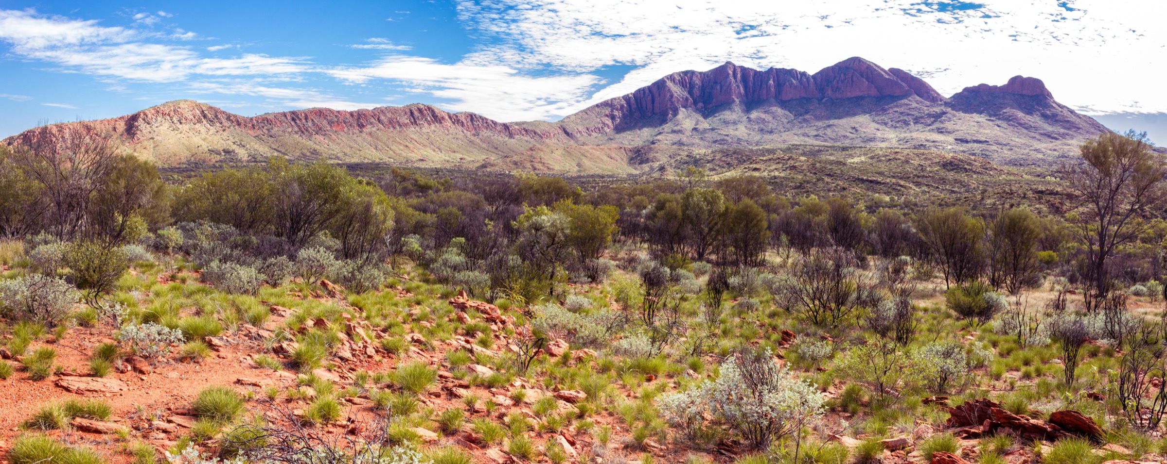
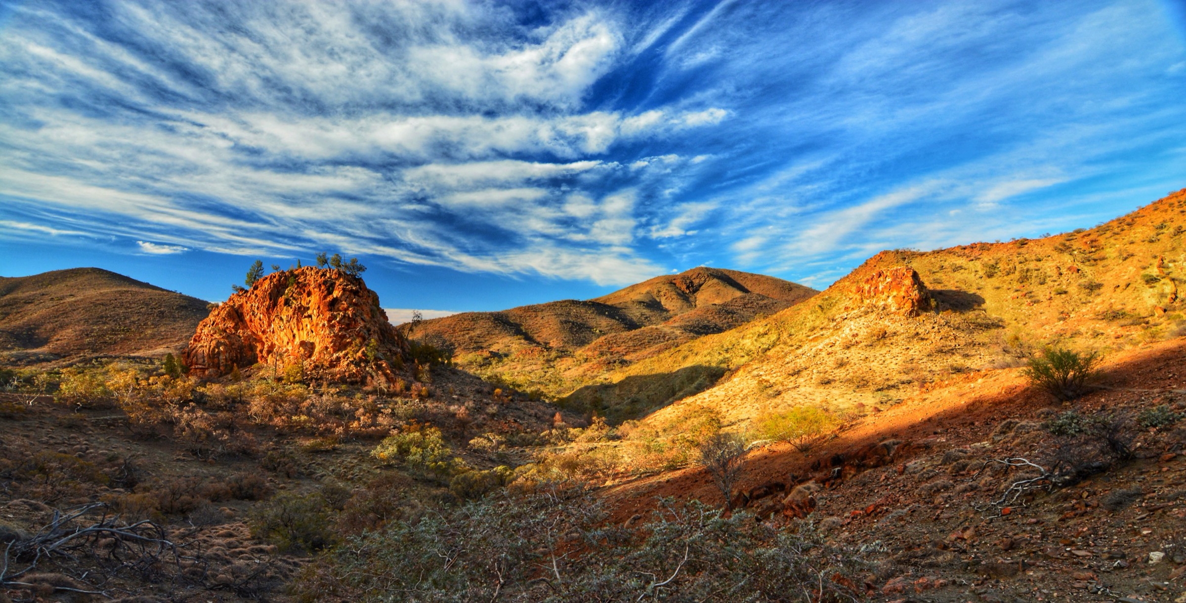
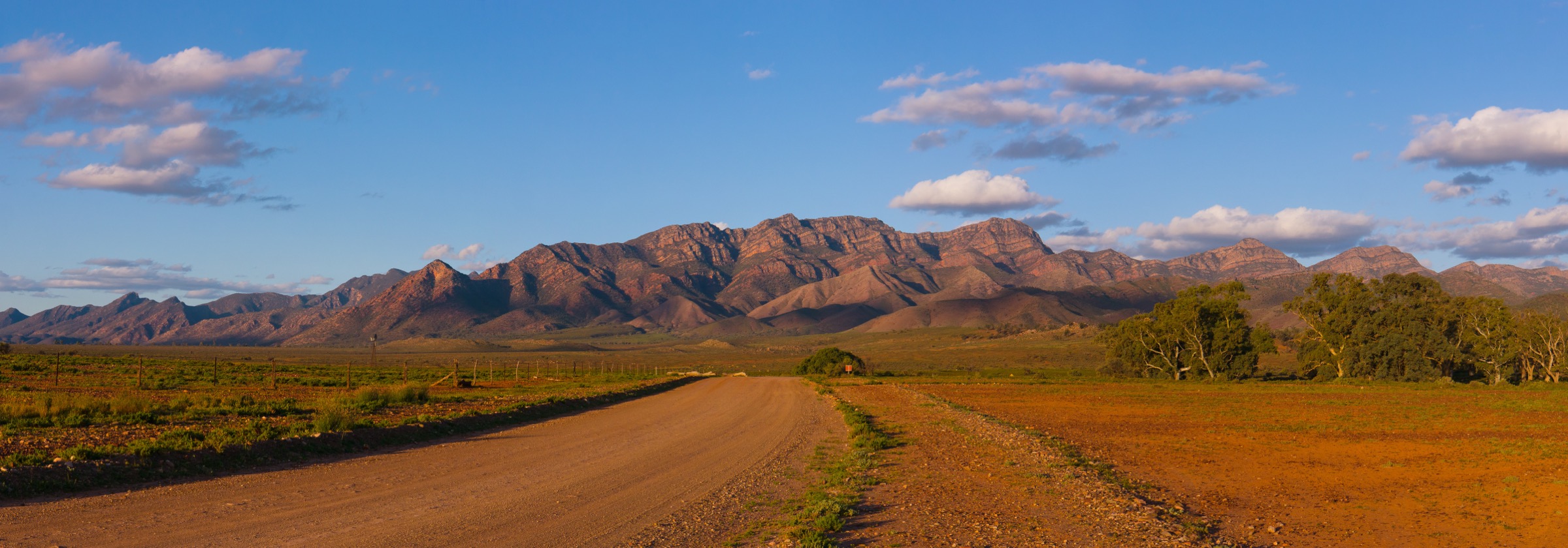
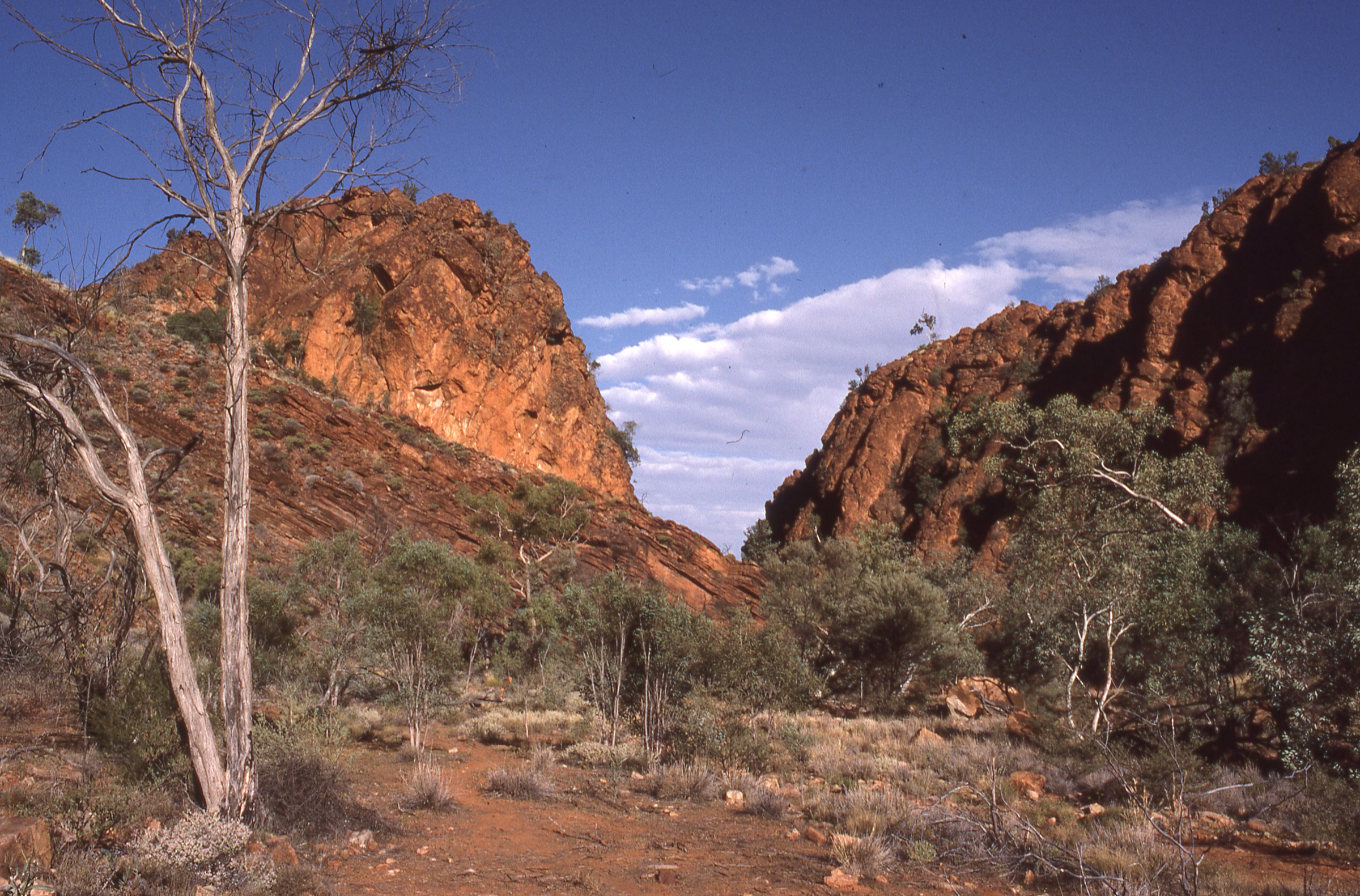
Quartzite ridges stained deep red by ancient iron oxides, river gums rooted in dry sandy creek beds, and silent gorges carved by waters that run perhaps twice a decade — the East MacDonnell Ranges stretch roughly 150 kilometres east of Alice Springs along the Ross Highway and the Binns Track, forming one of Australia’s most distinctive desert-mountain landscapes. The ranges are older than the Himalayas: geological upheaval some 300–400 million years ago twisted and folded the Heavitree Quartzite into the angular ridgelines that now define the skyline east of Mparntwe / Alice Springs.
The walking areas are divided among several small parks and reserves: Yeperenye / Emily and Jessie Gaps Nature Park (8 km from Alice Springs), Corroboree Rock Conservation Reserve (42 km), Trephina Gorge Nature Park (85 km), N’Dhala Gorge Nature Park (90 km), and Ruby Gap Nature Park (160 km). All are managed by NT Parks and require a valid NT Parks pass; day-visitors pay per vehicle at most sites. The East Macs receive far fewer visitors than the West MacDonnell Ranges and offer a genuinely quieter experience.
The East MacDonnell Ranges lie on the Country of the Eastern Arrernte people, for whom the gaps and gorges carry deep cultural significance. Emily Gap (Anthwerrke) and Jessie Gap (Atherrke) are among the most sacred sites in the Alice Springs district, associated with the Yeperenye (Caterpillar) Dreaming — one of the most important creation stories of the Mparntwe region. Visitors are asked to read and respect interpretive signage, to stay on formed tracks, and not to disturb rock art or sacred features.
Seasonal timing is critical. Summer temperatures regularly exceed 40 °C and can reach 47–48 °C; heat stroke and dehydration are real risks on even short walks. The Parks authority strongly advises against walking between 10 am and 4 pm in summer, and most serious walks should be avoided entirely from October to March. The dry season (April to September) brings clear days, cold desert nights, and manageable daytime temperatures of 15–25 °C.
Summary table
| # | Hike | Route type | Distance | Estimated time | Difficulty | Verification |
|---|---|---|---|---|---|---|
| 1 | Trephina Gorge Ridgetop Walk | Point-to-point | NT Parks PDF: 9 km one-way | NT Parks PDF: 5 h one-way | Grade 4 – moderate to difficult | Partially verified |
| 2 | Trephina Gorge Panorama Walk | Loop | NT Parks PDF: 2.5 km | NT Parks PDF: 1 h | Grade 4 – moderate to difficult | Partially verified |
| 3 | N’Dhala Gorge Walk | Out-and-back | NT Parks: 1.5 km return | NT Parks: 1 h return | Grade 3 – moderate | Partially verified |
| 4 | Yeperenye Trail (Emily to Jessie Gap) | Point-to-point | NT Parks: 7.2 km one-way | NT Parks: 2–3 h one-way | Grade 1–2 – easy | Partially verified |
| 5 | Ruby Gap / Glen Annie Gorge | Out-and-back | Up to 8 km return to gorge (walk only) | Up to 4 h return | Grade 4 – experienced walkers | Partially verified |
Before you go
Access
All five hikes lie east of Alice Springs along or off the Ross Highway. Emily and Jessie Gaps (Hike 4) are on sealed road 8–13 km from Alice Springs. Trephina Gorge (Hikes 1 and 2) is 85 km east on sealed road, with a 9 km unsealed approach to the car park (last 5 km is rough gravel — 2WD high-clearance recommended in wet conditions). N’Dhala Gorge (Hike 3) requires 4WD for the final 11 km of track, which crosses the Ross River multiple times and closes after rain. Ruby Gap (Hike 5) is 160 km from Alice Springs, with the last 25 km to the park boundary on high-clearance dirt and the 5 km inside the park in a sandy river bed — 4WD is essential. There is no public transport to any of these trailheads.
A valid NT Parks pass is required at all sites. Day and annual passes can be purchased online via the NT Parks website or at the parks themselves. Bush camping (with prior booking and fee) is available at Trephina Gorge and N’Dhala Gorge; camping is not permitted at Emily/Jessie Gaps or Corroboree Rock.
Standard kit
- All walks: sunscreen, hat, wind/sun layer, plenty of water (no drinking water at any trailhead), food, and a charged mobile phone or PLB.
- Trephina Ridgetop Walk (Hike 1): sturdy trail shoes or boots, trekking poles useful on rocky descent, at least 2–3 litres of water per person, map or downloaded GPS track.
- Trephina Panorama Walk (Hike 2): comfortable walking shoes; the track is rocky and loose in places.
- N’Dhala Gorge (Hike 3): comfortable walking shoes; the gorge is sandy. 4WD for road access.
- Yeperenye Trail (Hike 4): walking shoes; the track is hard-packed dirt with minor stones. Arrange two-vehicle shuttle or return the same way.
- Ruby Gap (Hike 5): sturdy hiking boots (river-sand walking is tiring), 4 litres of water per person, sun shelter, emergency PLB strongly recommended, 4WD vehicle.
Common hazards
- Extreme summer heat. Between October and March, temperatures above 40 °C are common. Check conditions before departure and reschedule if necessary.
- No water on any trail. All water must be carried.
- Flash flooding. Normally dry creek beds and access tracks can rise rapidly and without warning after distant rainfall. The N’Dhala Gorge access track and the Ruby Gap Hale River bed close regularly after rain; check with NT Parks before travel.
- Remote access. Mobile phone reception is absent at N’Dhala Gorge and Ruby Gap. A PLB is strongly recommended for Hikes 3, 4, and 5.
- Rock falls. Rocky slopes in the gorges shed material; do not linger under overhanging rock faces.
- Cultural respect. Do not photograph or disturb rock art, and follow interpretive signage at sacred sites including Emily Gap.
1. Trephina Gorge Ridgetop Walk
Snapshot
Itinerary
The Ridgetop Walk connects Trephina Gorge and John Hayes Rockhole along the crest of the East MacDonnell Range, traversing the full length of the park’s ridge system. The route climbs from the Trephina Gorge car park, ascends to the quartzite ridgeline, and follows the exposed upper terrain with sweeping views north and south across desert plains and the range’s ancient folded rock before descending to John Hayes Rockhole. The track is marked and well-defined but crosses rocky terrain with loose stone, some steep sections, and no shade for extended stretches. The point-to-point format requires either a vehicle shuttle between the two car parks (about 15 km by road) or a return walk along the unsealed park road.
Because the route runs along an exposed ridge, it is significantly hotter and more demanding in warm conditions than the lower gorge walks. An early start is essential — departing at or before sunrise allows walkers to complete the ridge section before midday heat peaks.
Why it is essential
The Ridgetop Walk is the signature long route in the East MacDonnell Ranges and the only walk that traverses the full ridge of Trephina Gorge Nature Park. Its combination of panoramic desert views, distinctive folded quartzite geology, and exposure to the raw scale of the landscape makes it the defining challenging day-hike of the East Macs.
Hazards and notes
- The exposed ridge has no shade and no water; at least 2–3 litres per person is required.
- Grade 4–5 difficulty: loose and rocky underfoot, with some steep descents; inappropriate for inexperienced walkers or children.
- The walk must not be attempted in summer or on days forecast above ~30 °C.
- A shuttle vehicle or pre-arranged road return is needed, as the alternative is adding the return on-road leg on foot.
- Dogs are not permitted in NT Parks nature parks.
- An NT Parks day or annual pass is required; no booking is needed for the day walk itself.
GPX / KML links
| Source | URL | Format | Notes |
|---|---|---|---|
| NT Parks — Trephina Gorge walking tracks PDF | nt.gov.au | Official PDF map/brochure | NT website terms; no GPX published |
| NT Parks — Trephina Gorge Nature Park | nt.gov.au | Official park page | NT website terms |
| trailhiking.com.au cross-check | trailhiking.com.au | Third-party route page | Secondary statistics only |
| AllTrails cross-check | alltrails.com | Third-party route page | Secondary statistics only |
Further reading
2. Trephina Gorge Panorama Walk
Snapshot
Itinerary
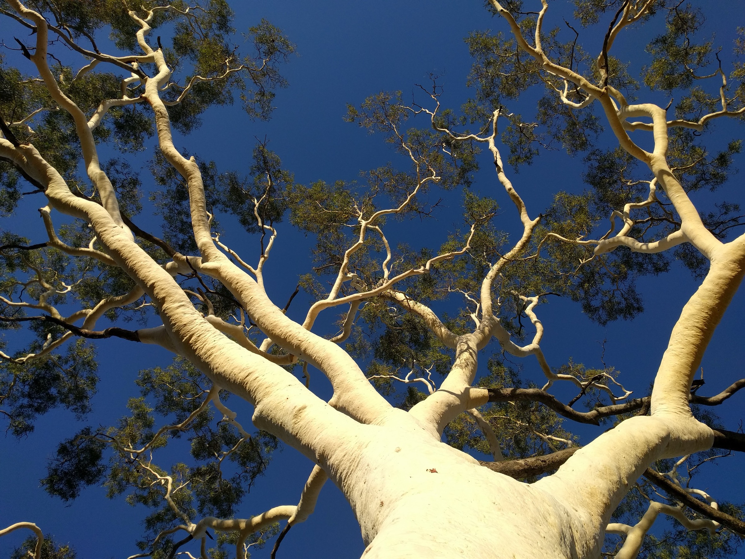
Marked with red arrows, the Panorama Walk begins at the Trephina Gorge car park and climbs onto the rim above the gorge, offering elevated views across the red quartzite walls and the white-trunked ghost gums that line the sandy creek bed below. The track crosses the ridgeline where the spectacular folding and contortion of the ancient Bitter Springs limestone is visible in the exposed rock faces — a direct record of the mountain-building forces that shaped the MacDonnell Ranges. The loop descends back to the car park via the gorge floor. The track is rocky and uneven in places but well-marked.
This walk can be combined with the shorter Gorge Walk (NT Parks: 1.8 km, ~45 min) on the same morning for a fuller half-day at Trephina.
Why it is essential
The Panorama Walk provides the best accessible overview of Trephina Gorge — its red quartzite walls, ghost-gum creek, and exposed folded geology — within a compact loop requiring no shuttle and minimal time commitment. It represents the gorge landscape of the East MacDonnell Ranges at its most photogenic and geologically significant.
Hazards and notes
- Rocky terrain; sturdy footwear required.
- No water on the track; carry at least 1 litre.
- The upper rim section is exposed to sun and wind.
- Dogs are not permitted in NT Parks nature parks.
- NT Parks pass required.
GPX / KML links
| Source | URL | Format | Notes |
|---|---|---|---|
| NT Parks — Trephina Gorge walking tracks PDF | nt.gov.au | Official PDF map/brochure | NT website terms; no GPX published |
| NT Parks — Trephina Gorge Nature Park | nt.gov.au | Official park page | NT website terms |
| trailhiking.com.au cross-check | trailhiking.com.au | Third-party route page | Secondary statistics only |
Further reading
3. N’Dhala Gorge Walk
Snapshot
Itinerary
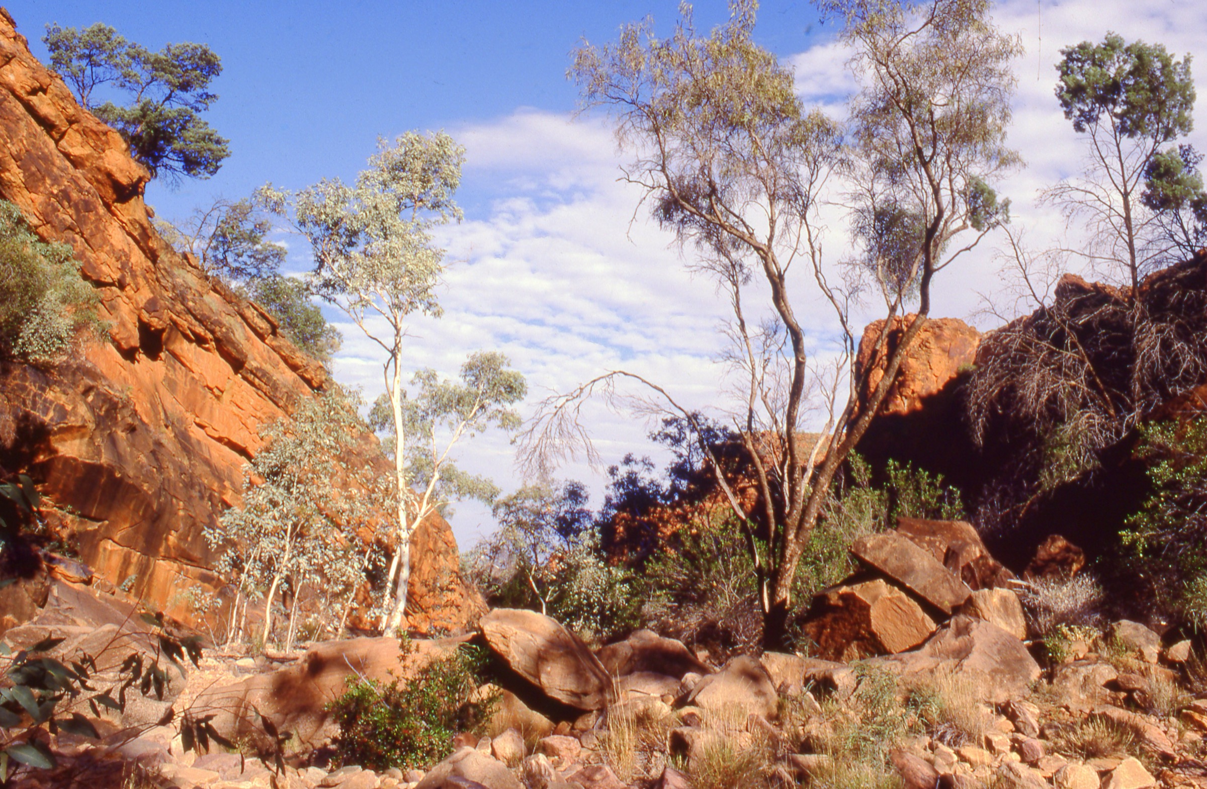
N’Dhala Gorge Nature Park is reached by turning off the Ross Highway approximately 90 km east of Alice Springs and following 11 km of 4WD track — crossing the Ross River multiple times — to the end-of-road car park. The marked walking track leads through the gorge, a narrow sandstone cleft with towering red walls, sand underfoot, and native acacias including the endemic Hayes wattle (Acacia undoolyana). The main cultural feature of the walk is a concentration of approximately 6,000 petroglyphs carved by Arrernte people into the rock surfaces across 438 engraved sites in the main gorge and 240 additional sites in a side gorge. The engravings include animal tracks, circles, lines, and anthropomorphic figures spanning multiple periods of occupation. The marked track guides visitors through the main display areas; interpretive signs explain the cultural context.
NT Parks records the marked walk as 1.5 km return; Trail Hiking Australia maps a 3.5 km route, likely reflecting a more extensive exploration of the gorge system beyond the formal markers.
Why it is essential
N’Dhala Gorge holds the highest known concentration of rock art in Central Australia — some 6,000 individual petroglyphs. For any visit to the East MacDonnells, it is the definitive cultural site: a direct encounter with tens of thousands of years of Arrernte presence in this landscape. The gorge’s natural character — narrow walls, endemic plants, and silence — makes it compelling as scenery as well as archaeology.
Hazards and notes
- The 4WD access track crosses the Ross River multiple times and is impassable after rain; check NT Parks closure information before travel.
- High-clearance 4WD is required for the access track; standard 2WD vehicles cannot proceed beyond the homestead.
- No mobile reception at the gorge.
- Do not touch, chalk, trace over, or photograph rock art with flash. Follow all interpretive signage.
- No water at the gorge; carry all supplies.
- Dogs are not permitted.
- Bush camping is available with online pre-booking and fee; no water is provided.
GPX / KML links
| Source | URL | Format | Notes |
|---|---|---|---|
| NT Parks — N’Dhala Gorge Nature Park | nt.gov.au | Official park page | NT website terms; no GPX published |
| trailhiking.com.au cross-check | trailhiking.com.au | Third-party route page | Secondary statistics only |
| AllTrails cross-check | alltrails.com | Third-party route page | Secondary statistics only |
Further reading
4. Yeperenye Trail (Anthwerrke / Emily Gap to Atherrke / Jessie Gap)
Snapshot
Itinerary
The Yeperenye Trail was formally opened in July 2021, following the contours of the Heavitree Range between Anthwerrke (Emily Gap) and Atherrke (Jessie Gap). The trail runs on hard-packed dirt surface with minor stones, undulating gently along the southern flank of the range between the two culturally important gaps. At Emily Gap, the narrow gorge cuts through the Heavitree Range, revealing coloured bands of rock and a deep waterhole; Dreaming figures of the Yeperenye caterpillar ancestors are painted in ochre on the north wall of the gorge. At Jessie Gap, a wider opening in the range offers a different character — rocky hillsides and quieter bush.
The trail can be walked in either direction. Walking from Emily Gap to Jessie Gap and returning by road (5 km by vehicle) makes a convenient one-way outing. The trail is also suitable for cycling.
Why it is essential
Emily Gap (Anthwerrke) is culturally one of the most significant sites for the Eastern Arrernte people and for understanding the Yeperenye Dreaming that shaped the identity of Mparntwe / Alice Springs. The rock art here — including the caterpillar ancestor figures — is directly visible and interpreted on-site. The Yeperenye Trail connects this site to Jessie Gap in a walking context, making it possible to experience both gaps and the ridge between them as a linked landscape rather than two isolated car-park stops. It is also the closest substantial walk to Alice Springs in the East Macs, making it accessible to visitors without high-clearance vehicles.
Hazards and notes
- The waterhole at Emily Gap can be deep; swimming may be possible but conditions vary — exercise caution around water.
- Do not photograph or disturb the rock art; follow interpretive signage regarding the sacred nature of the site.
- A two-vehicle shuttle or a return trip by road (5 km) is needed for the one-way walk.
- As the closest East Macs walk to Alice Springs, this trail can be busier in peak season (June–August).
- NT Parks pass required.
GPX / KML links
| Source | URL | Format | Notes |
|---|---|---|---|
| NT Parks — Yeperenye / Emily and Jessie Gaps Nature Park | nt.gov.au | Official park page | NT website terms; no GPX published |
| NT Parks — Yeperenye Trail PDF | nt.gov.au | Official trail brochure PDF | NT website terms |
| trailhiking.com.au cross-check | trailhiking.com.au | Third-party route page | Secondary statistics only |
Further reading
5. Ruby Gap / Glen Annie Gorge
Snapshot
Itinerary
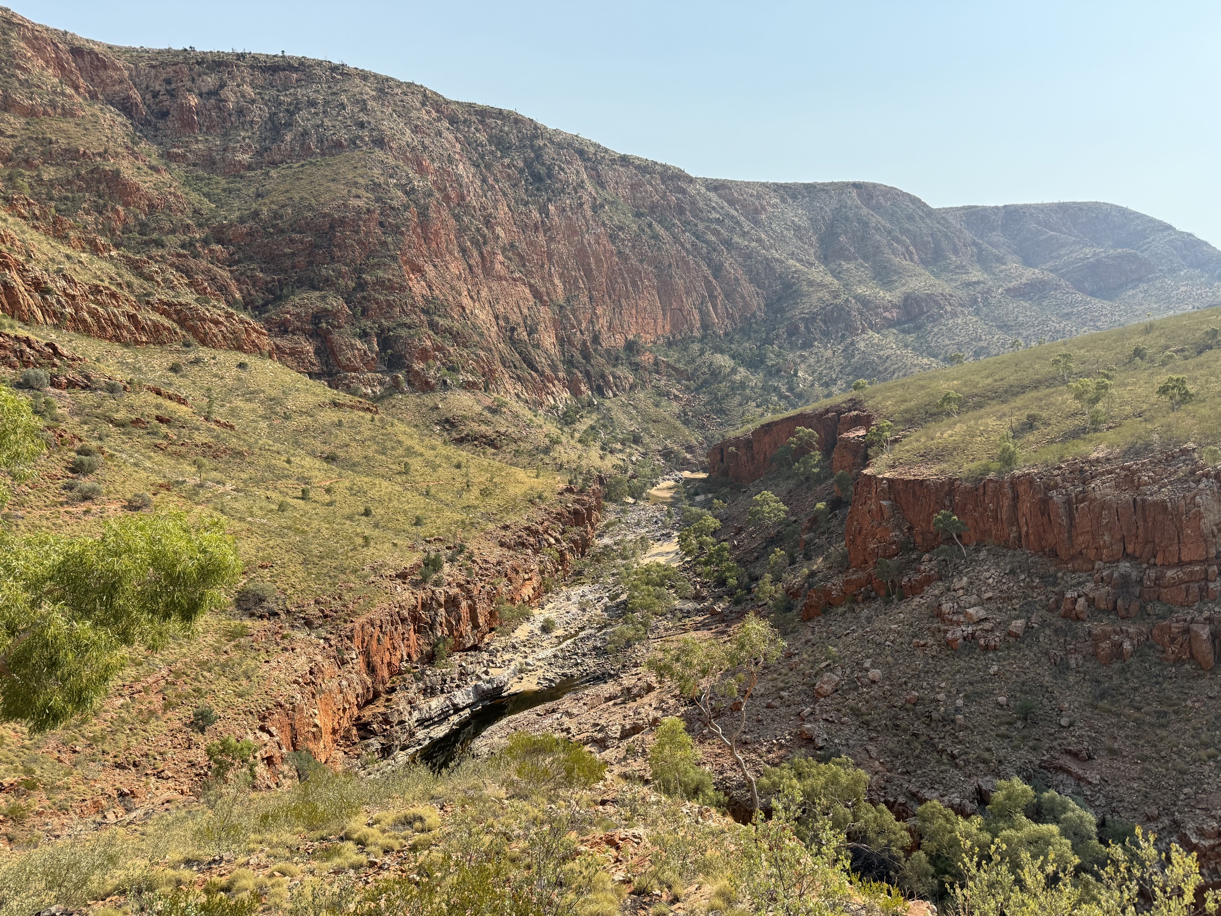
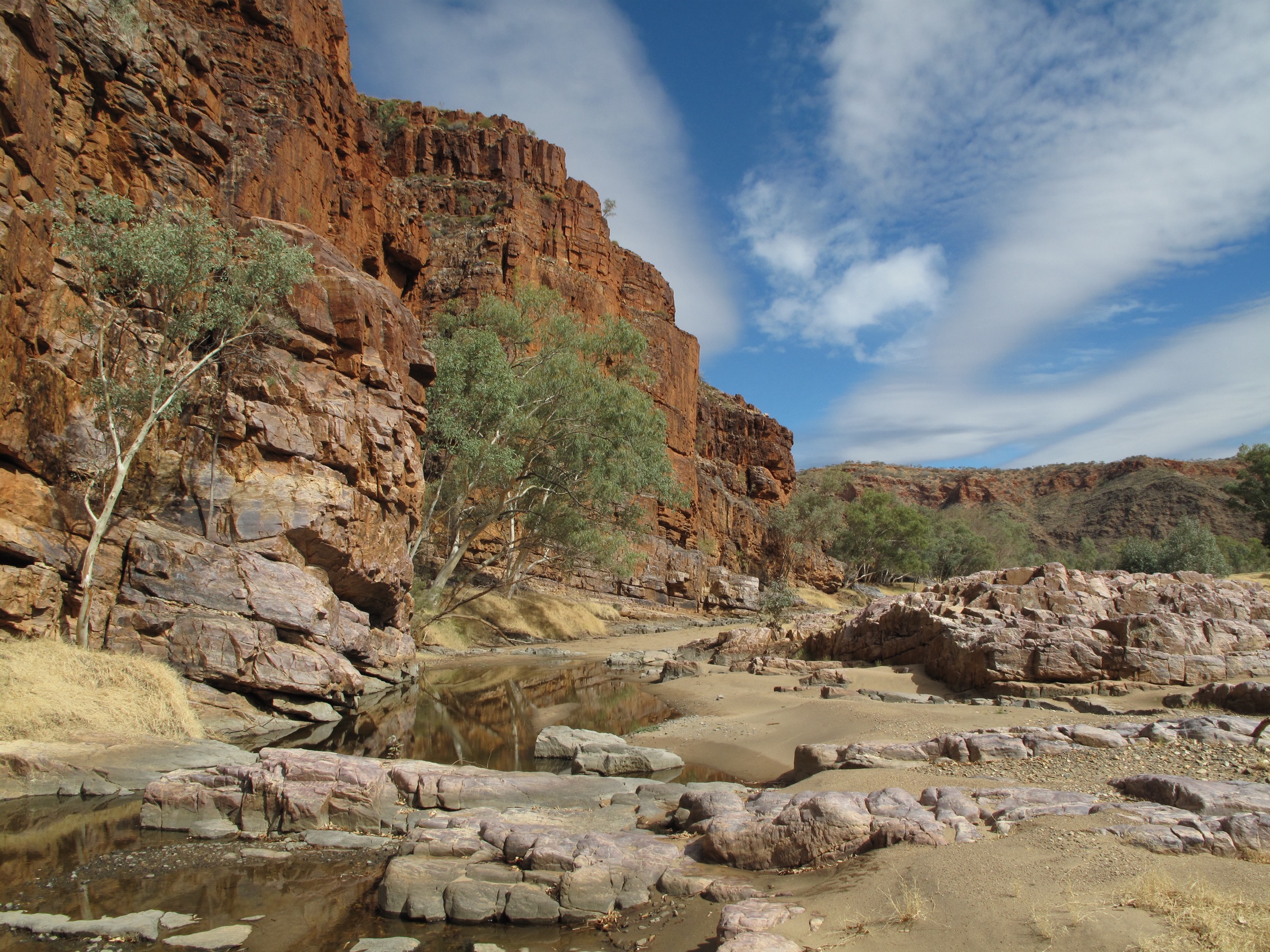
Ruby Gap Nature Park sits 160 km east of Alice Springs at the point where the Hale River cuts through the East MacDonnell Range. Access requires a high-clearance 4WD for the final 25 km of approach track and the 5 km crossing of the Hale River bed inside the park boundary. The walk itself follows the Hale River upstream through Ruby Gap — a narrow gorge stained deep red by garnet-bearing quartzite — and into Glen Annie Gorge, where the canyon narrows further and the red walls rise steeply on both sides. The route is unmarked; navigation follows the river bed and river banks. Beyond Glen Annie Gorge, the route can continue a further 4 km to Fox’s Grave — a total of roughly 8 km one-way — for a very full day.
The distance walked depends on where the vehicle is left. NT Parks data indicates it is 4 km (about 2 hours one-way) to Glen Annie Gorge from the inner access point; some sources note that walkers who drive 5 km further into the park can reduce the walk to approximately 3 km each way to the gorge.
Walking is primarily in soft river sand, which is slower and more tiring than hard trail. Midday sand temperatures can be extreme even in the cooler months.
Why it is essential
Ruby Gap is the most remote and scenically spectacular destination in the East MacDonnell Ranges. The combination of the narrow ruby-tinted quartzite gorge, the unmarked river-bed approach, the silence, and the complete absence of other infrastructure make it unlike any other walk in the East Macs. It was also historically significant as the site where David Lindsay identified the garnet-bearing rock in 1886, leading to a short-lived gem rush. The walk demands careful preparation but rewards it with some of the most dramatic desert gorge scenery in central Australia.
Hazards and notes
- 4WD and appropriate desert-driving experience are required for access; the track is not suitable for city-based hire vehicles.
- The access track and Hale River bed close after rain — sometimes for several days. Check NT Parks conditions before travel.
- No marked tracks inside the park; the route follows the river bed. Basic navigation skills and a downloaded map or GPS track are important.
- No water available; carry at least 4 litres per person.
- No mobile reception; a PLB is strongly recommended.
- Flash flooding of the Hale River can occur without local rainfall. Never camp in the river bed.
- Dogs are not permitted.
- Bush camping is permitted; no facilities. Carry out all waste.
- Allow a full day minimum; two days enables a more relaxed visit.
GPX / KML links
| Source | URL | Format | Notes |
|---|---|---|---|
| NT Parks — Ruby Gap Nature Park | nt.gov.au | Official park page | NT website terms; no GPX published |
| trailhiking.com.au cross-check | trailhiking.com.au | Third-party route page | Secondary statistics only |
| Tourism Central Australia | discovercentralaustralia.com | Secondary overview | Not an official source; useful context |
Further reading
Verification notes
- All five hikes are marked “Partially verified.” The route existence and general character of each walk is confirmed from NT Parks official sources. However, NT Parks does not publish elevation statistics for any of these routes; all elevation data (where shown) comes from trailhiking.com.au as secondary estimates. No official GPX or KML files were found for any route.
- The N’Dhala Gorge distance conflict (NT Parks 1.5 km vs trailhiking.com.au 3.5 km) is unresolved in this pass. The discrepancy likely reflects the difference between the marked circuit and the full gorge exploration; NT Parks is treated as the primary source.
- The Corroboree Rock Conservation Reserve (a 20-minute loop, ~0.5 km) was considered and excluded because it falls well below the catalogue distance floor and is better visited as a roadside stop en route than as a dedicated day-hike objective.
- The Trephina Gorge Walk (1.8 km, ~45 min) was also considered but excluded in favour of the Panorama Walk, which offers more walking and geological interest at similar distance; the two can be combined.
- Hike 5 (Ruby Gap) is included despite the high access bar (4WD required) because it is the most significant remote landscape in the East Macs and has no accessible equivalent.
Further reading
| Source | URL |
|---|---|
| NT Parks — Find a park (East Macs) | nt.gov.au |
| NT Parks — Trephina Gorge Nature Park | nt.gov.au |
| NT Parks — N’Dhala Gorge Nature Park | nt.gov.au |
| NT Parks — Yeperenye / Emily and Jessie Gaps Nature Park | nt.gov.au |
| NT Parks — Ruby Gap Nature Park | nt.gov.au |
| NT Parks — Trephina Gorge walking tracks PDF | nt.gov.au |
| Wikipedia — East MacDonnell Ranges | en.wikipedia.org |
| Tourism Central Australia — East MacDonnell Ranges | discovercentralaustralia.com |
Nearby Macdonnell Ranges guides on Storm
Missing data / follow-up work
- No official GPX or KML found for any of the five routes. NT Parks does not publish downloadable route files. Route geometry should be drawn from OSM (where the trails are mapped) or from GPS recordings, with ODbL attribution for OSM-sourced geometry.
- Elevation data missing for Hikes 3 and 4. NT Parks does not publish elevation gain/loss for N’Dhala Gorge or the Yeperenye Trail. Secondary sources (AllTrails, trailhiking.com.au) should be checked, or GPS tracks obtained.
- N’Dhala Gorge distance conflict unresolved. NT Parks says 1.5 km return; trailhiking.com.au maps 3.5 km. A field measurement or NT Parks enquiry would resolve this.
- Ruby Gap walking distance is vehicle-position-dependent. The effective walk length varies based on how far a 4WD party drives into the park. The “up to 8 km return on foot to Glen Annie Gorge” figure from NT Parks should be confirmed with a GPS track from a consistent starting point.
- Corroboree Rock Conservation Reserve image. The only Wikimedia Commons image of Corroboree Rock (Stefano, CC BY-SA 3.0, 1024×768 px) is below the 2000 px resolution floor and was not used. A higher-resolution compatible image was not found in this pass.
- No inline image for Hike 2 (Panorama Walk) or Hike 4 (Yeperenye Trail). No licence-compatible image of a suitable resolution was found for the Panorama Walk rim or the Yeperenye Trail in this pass.
- NT Parks pass pricing and booking links should be checked for current rates before publication.
- Summer closure or advisory status should be verified directly with NT Parks for the current season, particularly for Ruby Gap and N’Dhala Gorge access track conditions.