Regional overview
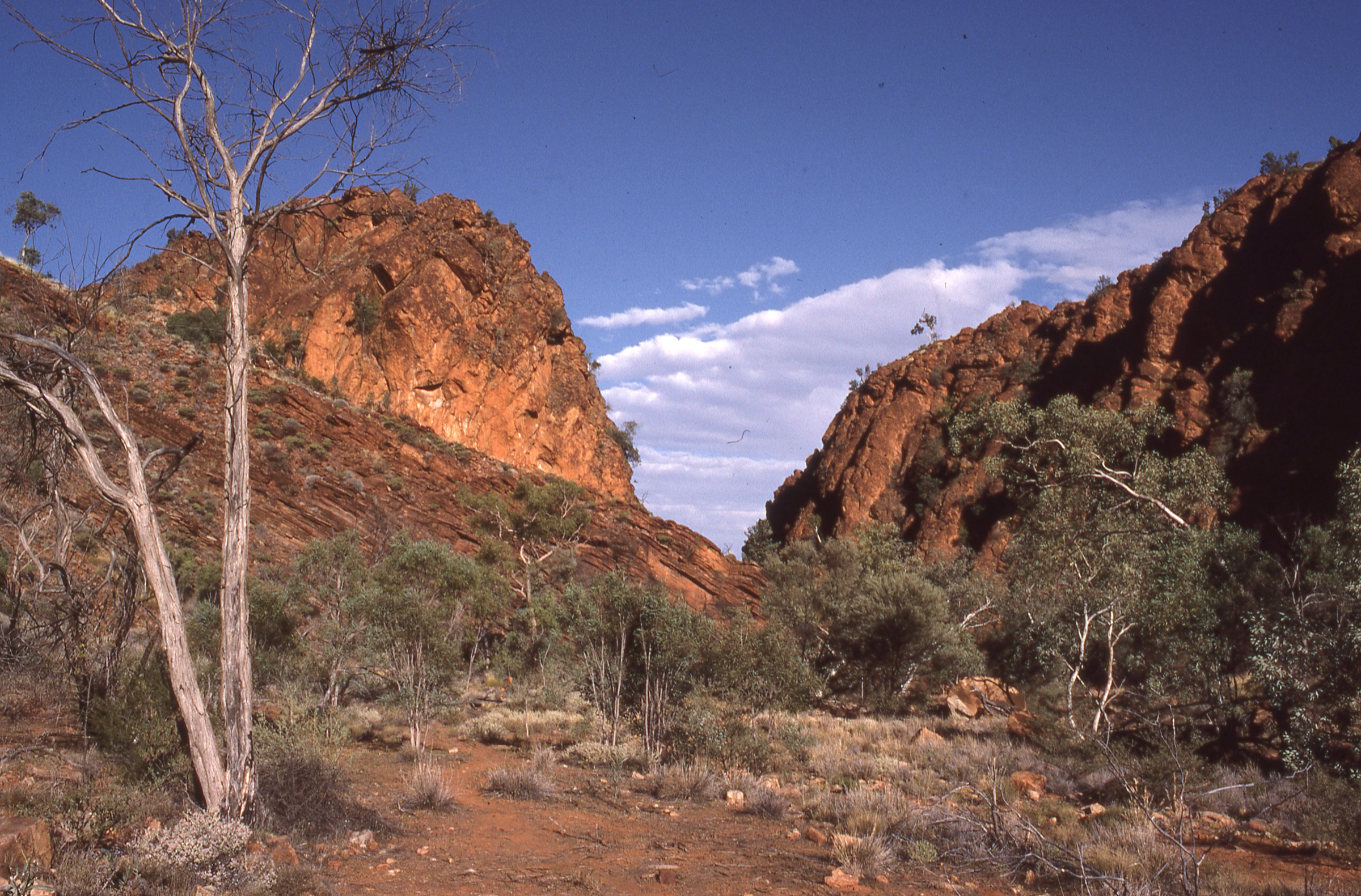
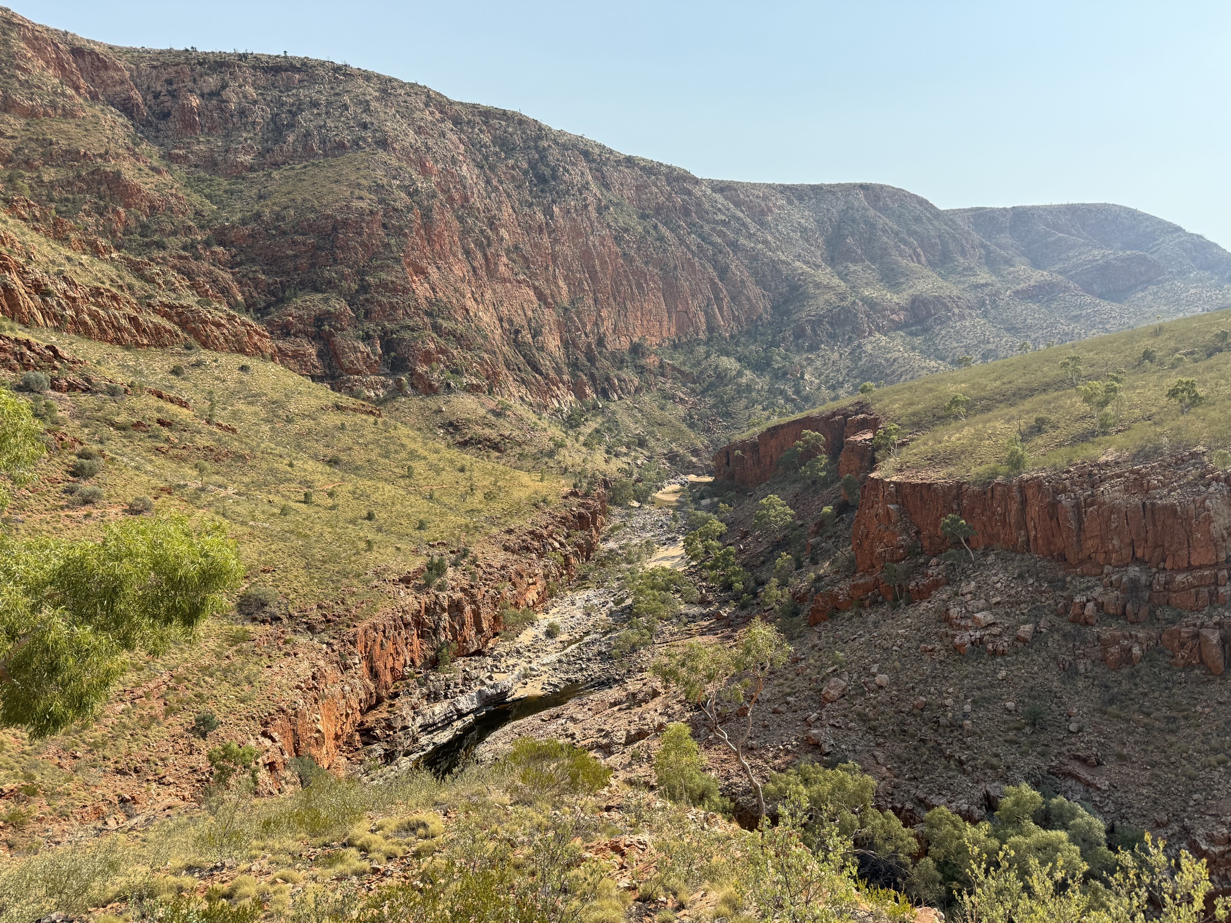
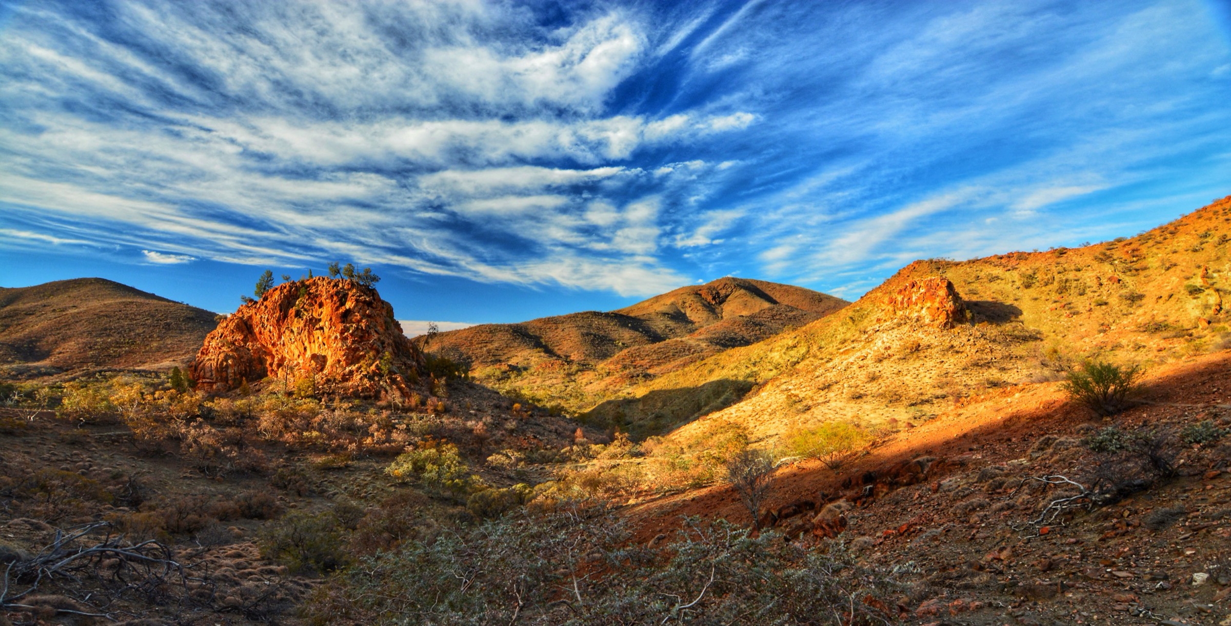
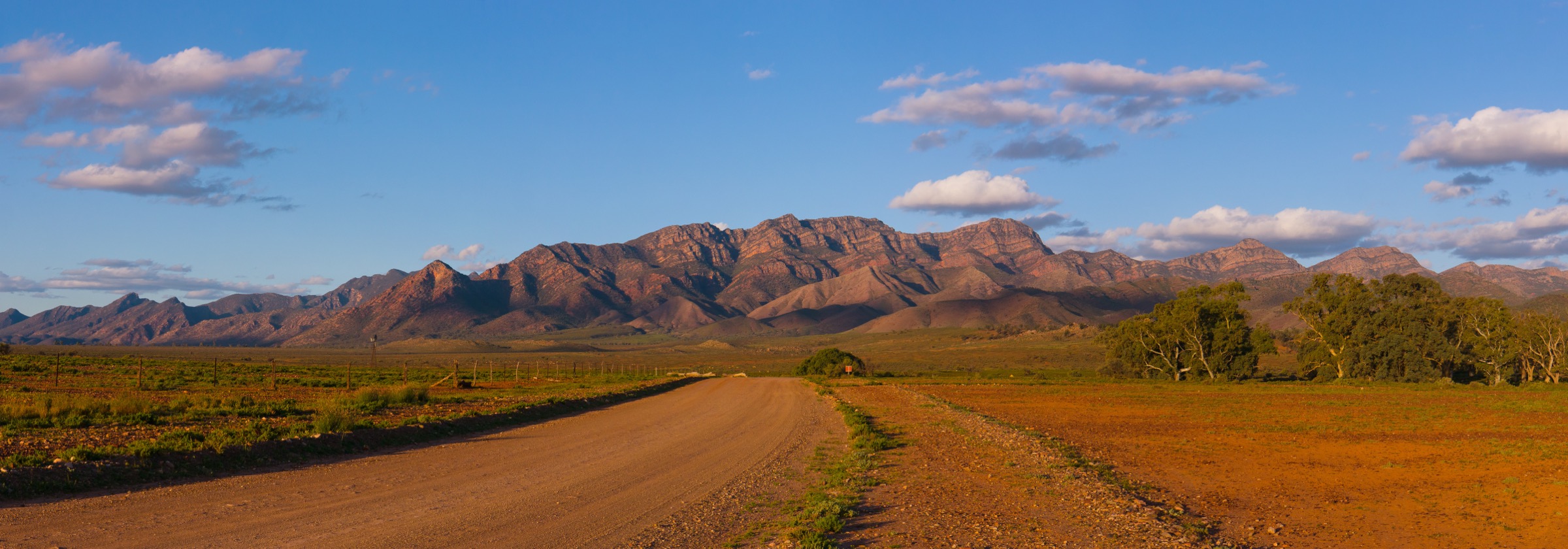
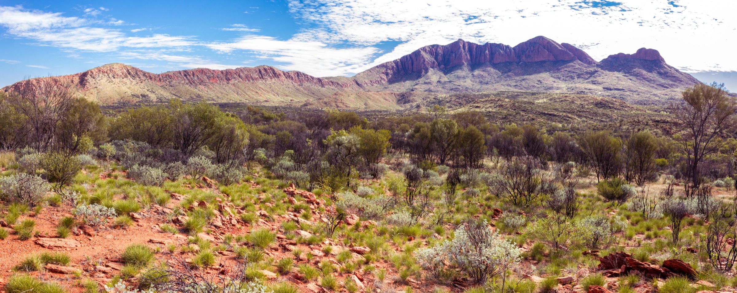
The Larapinta Trail stretches 223 km from the Alice Springs Telegraph Station westward through Tjoritja / West MacDonnell National Park to the summit of Mt Sonder (Rwetyepme), traversing twelve numbered sections across ancient quartzite ridgelines, red-sand valleys, waterholes, and narrow gorges cut deep into Precambrian rock. It is one of Australia’s most celebrated long-distance walking tracks, and several of its sections also function as outstanding self-contained day objectives.
The trail crosses Country held by the Arrernte people, whose connection to this landscape spans tens of thousands of years. The park is jointly managed by the Northern Territory Government and Arrernte Traditional Owners, and is known to them as Tjoritja. Dreaming stories describe the MacDonnell Ranges as the creation of three ancestral caterpillar beings — Ayepe-arenye, Ntyarlke and Utnerrengatye — whose movement shaped the ridges and gorges that walkers now follow. Many sites along the trail, including Angkerle Atwatye (Standley Chasm), carry specific cultural significance for Arrernte women’s Dreaming.
The terrain is arid and exposed. Shade is limited, water sources between designated tanks are scarce or seasonal, and temperatures can swing from below freezing on winter nights to above 40 °C in summer. The recommended walking season runs from April through September; outside these months, Parks NT strongly advises against extended backcountry walking. All overnight walkers must book and pay for designated campsites online through the NT Parks system before departure. While the five hikes listed here are presented as day walks — each starting and finishing at an accessible trailhead — all require careful preparation.
This article focuses exclusively on day walks using the Larapinta Trail corridor itself. A companion article covers the site-based short walks at gorges and waterholes elsewhere in the West MacDonnells (Standley Chasm main walk, Ormiston Pound circuit, Ellery Creek Big Hole, Serpentine Gorge lookout, Simpsons Gap Cassia Hill circuit).
Summary table
| # | Hike | Route type | Distance | Estimated time | Difficulty | Verification |
|---|---|---|---|---|---|---|
| 1 | Mt Sonder / Rwetyepme — Section 12 return | Out-and-back | NT Parks: 15 km return | NT Parks: 6 h | Grade 4 — moderate to difficult | Partially verified |
| 2 | Brinkley Bluff — Section 4 return from Standley Chasm | Out-and-back | NT Parks: ~19.8 km return | ~8–9 h | Grade 5 — difficult | Partially verified |
| 3 | Jay Creek to Standley Chasm — Section 3 | Point-to-point | NT Parks: 13.6 km (low route) | NT Parks: 5.5 h | Grade 4–5 — moderate to difficult | Partially verified |
| 4 | Telegraph Station to Simpsons Gap — Section 1 | Point-to-point | NT Parks: 24.7 km | NT Parks: 9 h | Grade 4 — moderate to difficult | Partially verified |
| 5 | Counts Point lookout — Section 8 spur | Out-and-back | ~6–8 km return from Serpentine Chalet Dam | ~3–4 h | Grade 4 — moderate to difficult | Candidate only |
Before you go
Access
All five hikes start from sealed or gravel trailhead car parks along Larapinta Drive (also signposted as Namatjira Drive for its western portion), the main road corridor through the West MacDonnells roughly 20–130 km west of Alice Springs. There is no scheduled public transport to any Larapinta Trail trailhead. Visitors reach trailheads by private vehicle, hire car, or taxi from Alice Springs. Several shuttle-transport operators offer one-way or return transfers specifically for walkers doing point-to-point sections.
Simpsons Gap (Section 1 finish) and Standley Chasm (Section 3 finish / Section 4 start) are the most accessible eastern trailheads. Redbank Gorge (Section 12 / Section 11 trailhead) is the most westerly, approximately 155 km from Alice Springs by road. Campsite bookings and walking-trail fees are managed through the NT Parks online booking system; the walking-trail fee as of 2024–2025 is AUD $25 per person per night (capped at AUD $125 for any trip). Day walkers starting and finishing at the same trailhead on the same day do not need an overnight booking, but should check current conditions and register an emergency contact or walk plan before departure.
Standard kit
All five walks require desert-appropriate equipment regardless of season:
- Minimum 3 litres of water per person for shorter hikes; 5+ litres for Section 1 or full-day Section 4 hikes where tank locations may be spread 7–10 km apart.
- High-factor sunscreen, sun hat, long sleeves — UV intensity in central Australia is severe year-round.
- Sturdy closed-toe hiking shoes or boots; trail runners suitable for well-graded sections but boots preferred for the rocky ridgelines of Sections 4, 8, and 12.
- Warm layer and windproof shell for shoulder-season mornings (temperatures below 5 °C are common in June–July before sunrise).
- Head torch — essential for the pre-dawn Mt Sonder sunrise start and for any hike where timing is uncertain.
- Navigation backup (downloaded offline maps; the NT Parks section maps available as PDFs).
- Personal Locator Beacon (PLB): Parks NT and emergency services strongly recommend carrying a registered PLB on all remote Larapinta walks. PLBs can be hired in Alice Springs. Register your walk intention with an emergency contact.
Common hazards
- Heat and dehydration: The primary risk in central Australia. Do not walk in temperatures above 35 °C. Start before sunrise when attempting longer sections.
- Water scarcity: Rainwater tanks at trailheads and mid-section camps are maintained by rangers but can run low during peak season. Check current water conditions at nt.gov.au/parks before departing.
- Navigation: All five sections are well-marked with white triangular trail markers, but the track can be faint across rock slabs. Offline GPS maps reduce risk.
- Flash flooding: Gorges and creek crossings can flash-flood rapidly. Do not walk in watercourses during or after heavy rain.
- Wildlife: Western brown snakes and mulga snakes are present; watch where hands and feet are placed on rocky terrain.
- No dogs: Dogs are not permitted anywhere on the Larapinta Trail within Tjoritja / West MacDonnell National Park.
1. Mt Sonder / Rwetyepme — Section 12 return
Snapshot
Itinerary
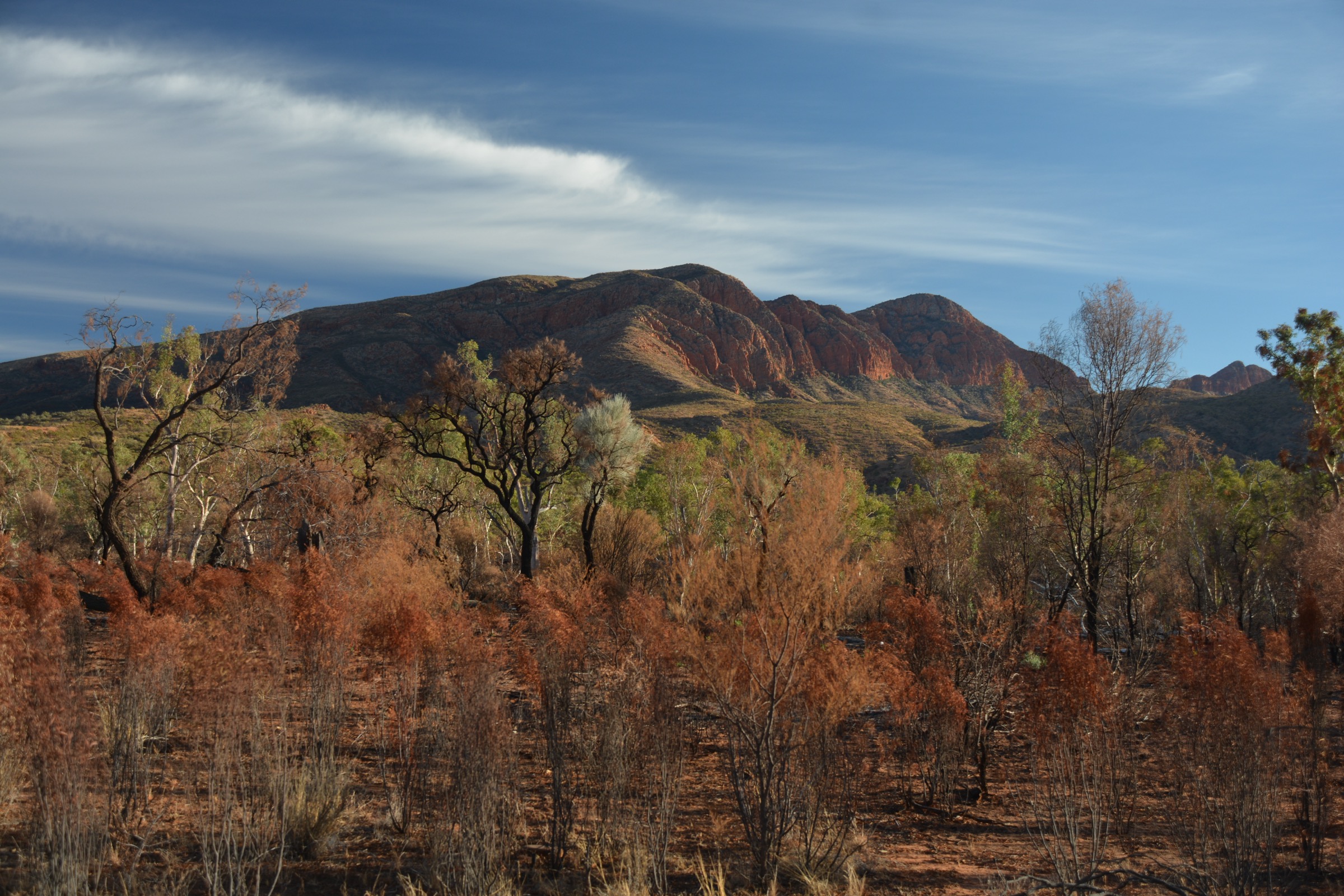
The walk begins at the Redbank Gorge trailhead (rainwater tank and toilet on site) and follows Section 12 of the Larapinta Trail due east, climbing steadily across open mulga scrub and red sand before the gradient steepens onto quartzite ridges. The route ascends the northern flank of Rwetyepme through rocky terrain, reaching the main summit plateau at 1,380 m. NT Parks notes that the official summit marker is placed 750 m short of the true high point for safety reasons; fit walkers often continue to the true summit cairn. Return is by the same route.
The pre-dawn start for sunrise is widely practised: walkers leave Redbank Gorge car park with head torches approximately 2.5–3 hours before sunrise, arriving on the summit as the ranges turn red and orange in the first light. This approach also avoids the heat of the day on the exposed descent.
Why it is essential
Mt Sonder (Rwetyepme) is the western terminus of the Larapinta Trail and the fourth-highest point in the Northern Territory. The 360-degree panorama from the summit takes in the entire West MacDonnell ridgeline to the east, the Finke River corridor, and the Gibson Desert beyond. The sunrise walk is arguably the trail’s signature day objective — recognised in every major Australian hiking resource — and represents the Larapinta at its most dramatic: physical commitment, ancient landscape, and transformative light.
Hazards and notes
- The ascent is sustained and rocky; a walking pole aids the descent on tired legs.
- No shade above the scrub line. Carry adequate water from the trailhead tank (at least 3 litres per person).
- The pre-dawn start means navigating partially by head torch; downloaded offline maps and familiarity with the section markers are essential.
- In winter, temperatures at the summit can be near 0 °C before dawn; a windproof and insulating layer is required.
- Rock scrambling on the upper section; no technical equipment needed, but good footwear is important.
- The trailhead tank at Redbank Gorge is the last reliable water on the Section 12 route. There is no mid-section tank.
GPX / KML links
| Source | URL | Format | Notes |
|---|---|---|---|
| NT Parks — Section 12 information sheet and map | nt.gov.au | Official PDF map | NT Parks terms; no GPX published |
| NT Parks — Sections of the Larapinta Trail | nt.gov.au | Official route overview page | NT Parks terms |
| OpenStreetMap relation 3066363 | openstreetmap.org | OSM route relation | ODbL; attribution required |
| AllTrails cross-check | alltrails.com | Third-party route page | Secondary statistics only |
Further reading
2. Brinkley Bluff — Section 4 return from Standley Chasm
Snapshot
Itinerary
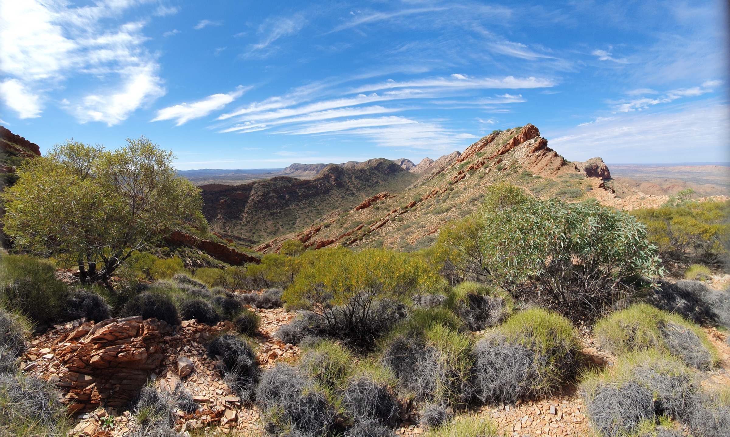
The walk departs Standley Chasm car park and immediately joins Section 4 of the Larapinta Trail heading west and upward. The route climbs steeply through spinifex-covered slopes and onto the main quartzite ridge of the Chewings Range. From the ridge, the path follows exposed high ground with panoramic views northward over the sand plains and southward across the valley. After gaining Reveal Saddle, a further steep rocky climb leads to the broad cairned summit of Brinkley Bluff at 1,209 m, where 360-degree views extend across much of the central West MacDonnells. The return is by the same route.
Note: Standley Chasm itself (the narrow gorge slot) is a separate site-based walk that requires an entry fee to Angkerle Atwatye, which is an Arrernte-managed site. Walkers accessing Section 4 from the Standley Chasm car park should confirm current access and fee arrangements at the facility.
Why it is essential
Brinkley Bluff is the highest point readily accessible as a day walk from the eastern end of the Larapinta Trail and offers the broadest elevated panorama of the Chewings Range. The ridge walk across quartzite slabs with open views in both directions is distinctly different in character from the gorge-based site walks elsewhere in the West MacDonnells. At 1,209 m, it is the trail’s best accessible mid-range summit objective east of Ormiston.
Hazards and notes
- Grade 5 terrain: the upper ridge sections are rocky and require care, particularly in wet or icy conditions.
- No reliable water between Standley Chasm and Birthday Waterhole (the Section 4 end-point); carry all water from the Standley Chasm car park — minimum 4–5 litres for a full return.
- The ridge is fully exposed; wind can be strong and afternoon thunderstorms in transitional seasons can arrive quickly.
- Standley Chasm is a commercial site operated by Iwupataka Land Trust; access fees and opening hours should be confirmed before the walk.
- Entry to Section 4 from this trailhead bypasses the gorge narrowing (which has its own entry fee) — walkers may pass through the car park and follow trail markers without paying the gorge-walk fee if doing so, but should verify this with site staff.
GPX / KML links
| Source | URL | Format | Notes |
|---|---|---|---|
| NT Parks — Section 4 information sheet and map | nt.gov.au | Official PDF map | NT Parks terms; no GPX published |
| OpenStreetMap relation 3066363 | openstreetmap.org | OSM route relation | ODbL; attribution required |
| AllTrails cross-check | alltrails.com | Third-party route page | Secondary statistics only |
Further reading
- NT Parks — Section 4 information sheet (PDF)
- Larapinta Trail — Section 4 overview (larapintatrail.com.au)
3. Jay Creek to Standley Chasm — Section 3
Snapshot
Itinerary
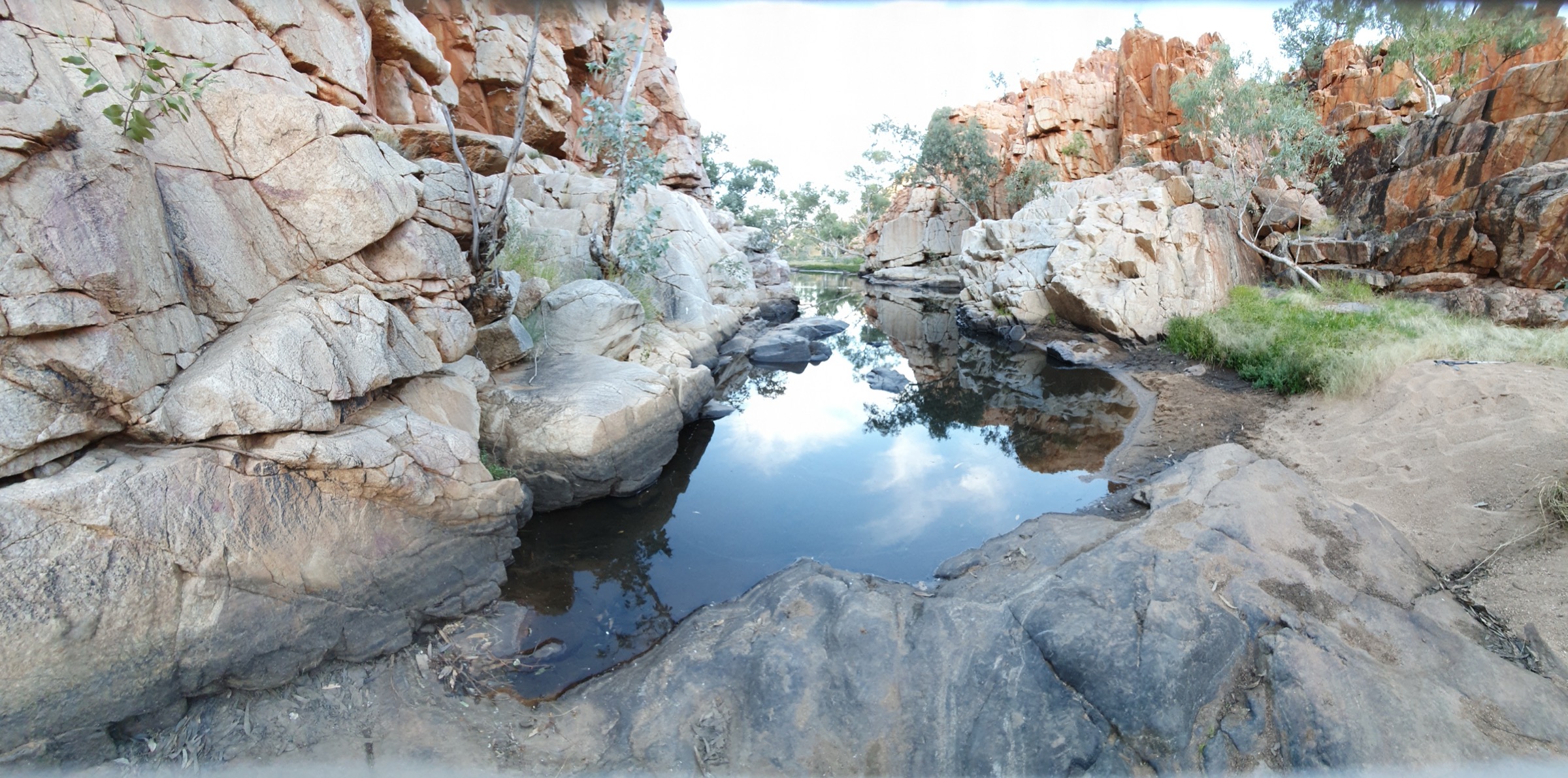
From the Jay Creek / Tangentyere Junction trailhead on Larapinta Drive, Section 3 runs east toward Standley Chasm along one of two routes. The low route descends into creek-bed terrain, passing the permanent Fish Hole waterhole — one of the trail’s most photogenic desert waterholes, sheltered under a red-ochre cliff — before contouring through gorge passages and emerging at the Standley Chasm car park. The high (alternate) route takes a harder line across the main Chewings Range ridgeline, offering extensive views over the desert plains, before descending steeply to Standley Chasm. Both routes are well-marked with Larapinta Trail white-triangle markers.
A shuttle drop-off at Jay Creek and vehicle collection from Standley Chasm (or vice versa, walking east to west) is the standard arrangement. Several Alice Springs-based operators offer shuttles for walkers completing individual sections.
Why it is essential
Section 3 is widely regarded as one of the most scenically varied sections of the entire trail. It combines gorge country, desert waterholes, and ridge views in a single day-length traverse, and its Fish Hole waterhole is among the most striking desert rock-pool scenes accessible on a single-day walk in central Australia. The point-to-point format keeps the day at a manageable length without the fatigue of retracing ground, making it the most efficient introduction to the Larapinta’s mid-section character.
Hazards and notes
- The high (alternate) route involves difficult ascents and descents on loose quartzite; appropriate only for experienced bushwalkers with good footwear.
- Fish Hole and any standing water along the route is not reliable as a potable source without treatment.
- Shuttle logistics require planning: confirm pick-up arrangements before departure, as mobile coverage is absent or intermittent along most of Section 3.
- If walking east to west (Standley Chasm to Jay Creek), entry to the Standley Chasm car park may require paying the Angkerle Atwatye entry fee; verify with site operators.
GPX / KML links
| Source | URL | Format | Notes |
|---|---|---|---|
| NT Parks — Section 3 information sheet and map | nt.gov.au | Official PDF map | NT Parks terms; no GPX published |
| OpenStreetMap relation 3066363 | openstreetmap.org | OSM route relation | ODbL; attribution required |
| AllTrails cross-check | alltrails.com | Third-party route page | Secondary statistics only |
Further reading
- NT Parks — Section 3 information sheet (PDF)
- Larapinta Trail — Section 3 overview (larapintatrail.com.au)
4. Telegraph Station to Simpsons Gap — Section 1
Snapshot
Itinerary
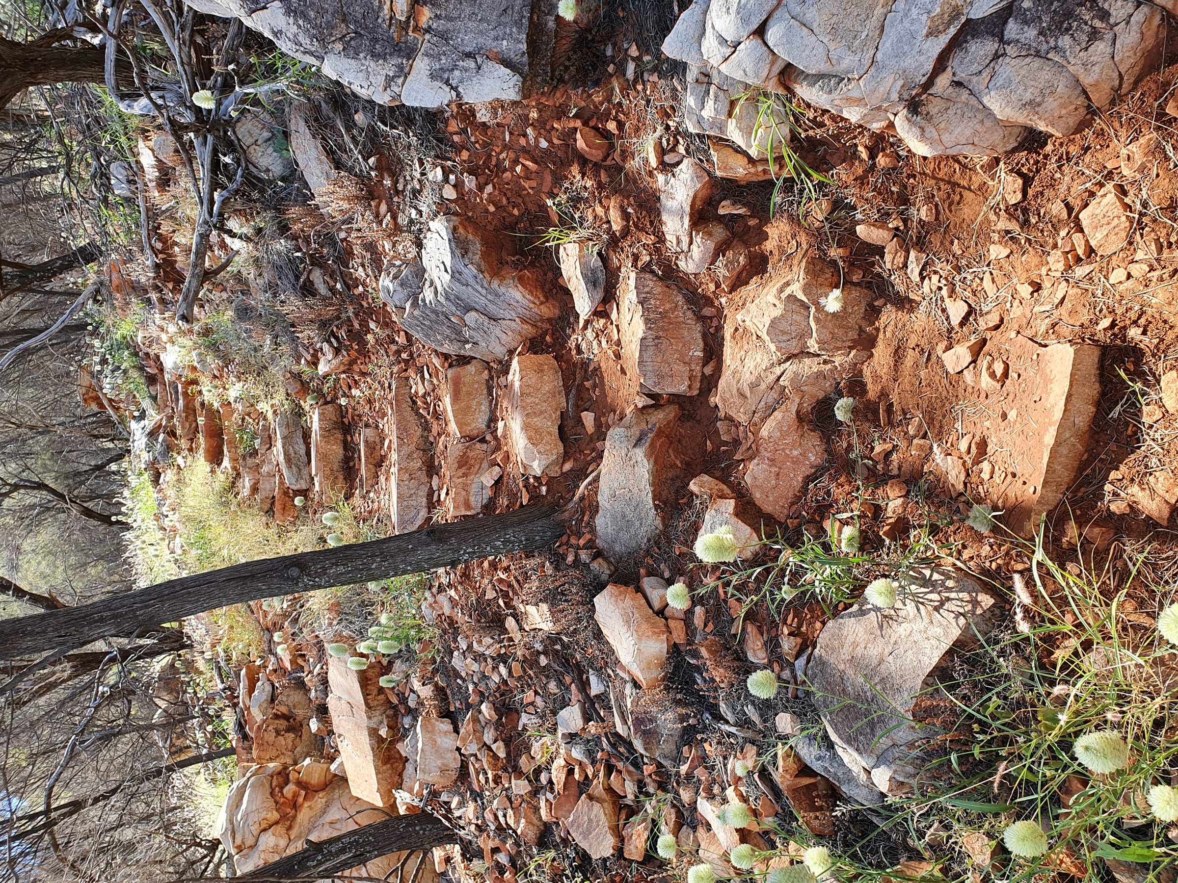
Section 1 begins at the Alice Springs Telegraph Station, a historic 1870s repeater station that marks the formal start of the trail. The route heads north-west before rising onto Euro Ridge, the walk’s highest sustained viewpoint, which delivers sweeping panoramas across Alice Springs and the desert plains. From the ridge the trail drops to Wallaby Gap (with a water tank and basic shelter at an intermediate campsite), then continues across sand plains and rocky creek crossings to Hat Hill Saddle, before a final descent leads to the dramatic quartzite slot of Simpsons Gap (Rungutjirpa). The section is marked in sub-sections on the NT Parks information sheet with segment timings.
A vehicle left at Simpsons Gap car park, or a taxi/shuttle collected there, completes the logistics. Some walkers arrange a taxi drop-off at the Telegraph Station and a taxi return from Simpsons Gap.
Why it is essential
Section 1 is the Larapinta Trail’s opening chapter and its longest single-day option. It frames the trail’s entire emotional arc: beginning at a colonial-era stone building on the edge of an outback town and ending at one of central Australia’s most photogenic geological formations. Euro Ridge gives walkers their first full appreciation of the West MacDonnells’ scale. For visitors with limited time in Alice Springs who want a genuine Larapinta day rather than a site walk, this section provides the complete experience: cultural start, ridge views, waterholes, and a spectacular gorge finish.
Hazards and notes
- At 24.7 km, this is the longest hike in this catalogue. NT Parks recommends it as a two-day walk for most walkers; fit and experienced walkers complete it in a single long day.
- Water is available at the Wallaby Gap intermediate camp tank (at approximately the 14 km mark); carry enough from the Telegraph Station to reach it, then refill before the final push to Simpsons Gap.
- Euro Ridge is exposed; afternoon summer thunderstorms can arrive without warning.
- Check Simpsons Gap opening hours before the walk — the park has gate closure times and the car park may lock at dusk.
- Mobile coverage is limited between the Telegraph Station and Euro Ridge; negligible between Euro Ridge and Simpsons Gap.
GPX / KML links
| Source | URL | Format | Notes |
|---|---|---|---|
| NT Parks — Section 1 information sheet and map | nt.gov.au | Official PDF map | NT Parks terms; no GPX published |
| OpenStreetMap relation 3066363 | openstreetmap.org | OSM route relation | ODbL; attribution required |
| AllTrails cross-check | alltrails.com | Third-party route page | Secondary statistics only |
Further reading
- NT Parks — Section 1 information sheet (PDF)
- Larapinta Trail — Section 1 overview (larapintatrail.com.au)
5. Counts Point lookout — Section 8 spur from Serpentine Chalet Dam
Snapshot
Itinerary
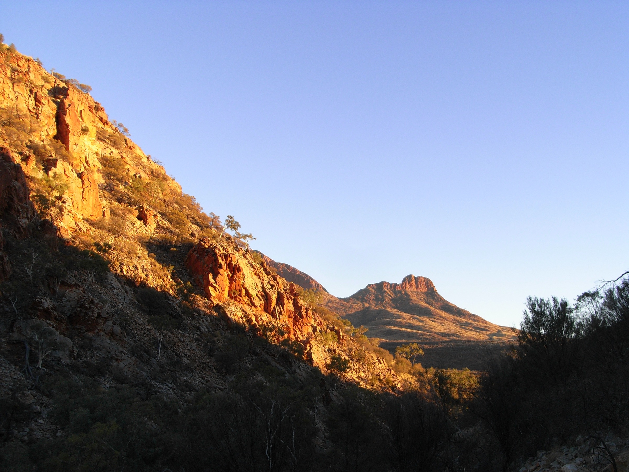
From the Serpentine Chalet Dam trailhead (ruins of the 1960s Serpentine Chalet nearby), Section 8 of the Larapinta Trail heads west and gains the Serpentine Ridge. The trail traverses high, open quartzite country with expansive views south across sand plains and north toward the Heavitree Range. After reaching the Counts Point junction, a signposted 700 m spur (1.4 km return from the junction) leads to the Counts Point viewpoint, which delivers one of the most unobstructed panoramas of the West MacDonnell ridgeline available from the mid-trail high ground. Return is by the same route to Serpentine Chalet Dam.
Note: Serpentine Chalet Dam is also the eastern trailhead for Section 9 (heading west to Ormiston Gorge). Walkers planning a day on Section 8 should confirm they are following the correct section marker direction from the trailhead.
Why it is essential
Counts Point occupies the mid-trail high ground of Section 8 — a section that the operator larapintatrail.com.au describes as offering some of the best ridge views on the entire trail. Its accessibility from Serpentine Chalet Dam as a day walk, rather than as part of a multi-day traverse, makes it the best option for walkers who want the Larapinta’s elevated ridge character in the central corridor without the logistical demands of Brinkley Bluff or Mt Sonder. As a half-day to moderate full-day objective it also pairs well with a visit to Ormiston Gorge or Serpentine Gorge on the same day.
Hazards and notes
- The ridge is open and exposed; carry sun protection and adequate water from the Serpentine Chalet Dam tank.
- The exact distance and return time from the trailhead to Counts Point as a standalone day walk was not found in an official NT Parks source in this pass; the figures given are derived from the Section 8 segment notes and the stated 1.4 km spur length. Treat these as approximate.
- The ruins of Serpentine Chalet are structurally unsafe; do not enter.
- No mobile coverage at the trailhead or along Section 8.
GPX / KML links
| Source | URL | Format | Notes |
|---|---|---|---|
| NT Parks — Section 8 information sheet and map | nt.gov.au | Official PDF map | NT Parks terms; no GPX published |
| OpenStreetMap relation 3066363 | openstreetmap.org | OSM route relation | ODbL; attribution required |
| AllTrails cross-check | alltrails.com | Third-party route page | Secondary statistics only |
Further reading
- NT Parks — Section 8 information sheet (PDF)
- Larapinta Trail — Section 8 overview (larapintatrail.com.au)
Verification notes
- NT Parks does not publish elevation gain or loss for any Larapinta Trail section. All elevation figures in this catalogue are from AllTrails as secondary estimates and should be treated accordingly.
- NT Parks does not publish official GPX downloads for the Larapinta Trail. The OpenStreetMap route relation 3066363 provides the best openly licensed geometry; ODbL attribution required for any derived works.
- Section 1 is listed by NT Parks as a recommended two-day walk at 24.7 km. Its inclusion as a day option reflects documented practise among fit and experienced walkers, as confirmed by multiple secondary sources, but it is at or beyond the upper practical limit for most walkers as a day objective.
- Section 5 (Counts Point), listed here as “Candidate only”, lacks a published out-and-back distance from Serpentine Chalet Dam to the point itself in any official NT Parks document found in this research pass. The figure should be confirmed against the Section 8 PDF before publication or against on-ground waypoint data.
- Standley Chasm is an Arrernte-managed commercial site (Iwupataka Land Trust); entry fees and gate hours are subject to change and should be confirmed directly with the site before any walk using it as a trailhead.
Missing data / follow-up work
- Counts Point out-and-back distance: No official NT Parks figure found for the Serpentine Chalet Dam → Counts Point return distance as a standalone day walk. The ~6–8 km estimate needs ground-truth from the Section 8 PDF waypoints or on-trail GPS data.
- Elevation statistics: NT Parks publishes no elevation data for any section. AllTrails is used as a secondary source throughout; these figures may undercount or overcount actual accumulated gain on rough terrain.
- Simpsons Gap car park closing time: The NT Parks Simpsons Gap page should be checked for current gate and car park hours before planning Section 1 as a single day.
- Standley Chasm access and fee clarification: The fee structure for walkers using the Standley Chasm car park solely to access Section 3 or Section 4 of the Larapinta Trail (without entering the commercial gorge walk) needs on-site confirmation.
- Seasonal closures: NT Parks may issue temporary closures of individual trailheads or tanks during extreme heat events. Check the current conditions page at nt.gov.au before any departure.
- OSM geometry: The Larapinta Trail OSM relation 3066363 has not been audited for completeness; individual section sub-relations may exist and should be checked before using for route-file derivation.
Further reading
| Source | URL |
|---|---|
| NT Parks — Larapinta Trail | nt.gov.au |
| NT Parks — Sections of the Larapinta Trail | nt.gov.au |
| NT Parks — Larapinta Trail water | nt.gov.au |
| NT Parks — Plan your Larapinta Trail walk | nt.gov.au |
| NT Parks — Campgrounds on the Larapinta Trail | nt.gov.au |
| NT Parks — Larapinta Trail current conditions | nt.gov.au |
| Larapinta Trail — Sections overview | larapintatrail.com.au |
| OpenStreetMap — Larapinta Trail relation 3066363 | openstreetmap.org |
| Wikipedia — Larapinta Trail | en.wikipedia.org |
| Wikipedia — Tjoritja / West MacDonnell National Park | en.wikipedia.org |