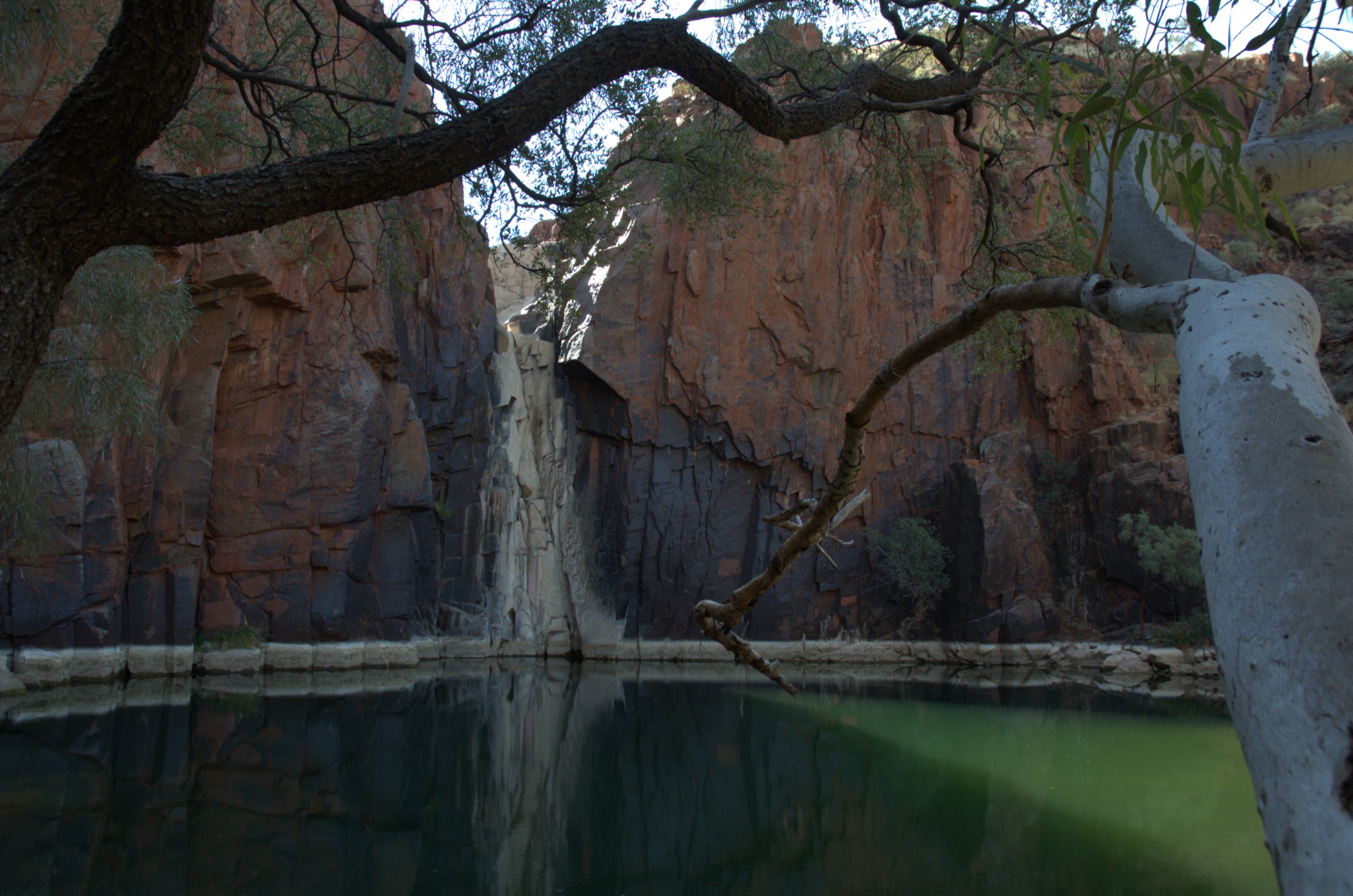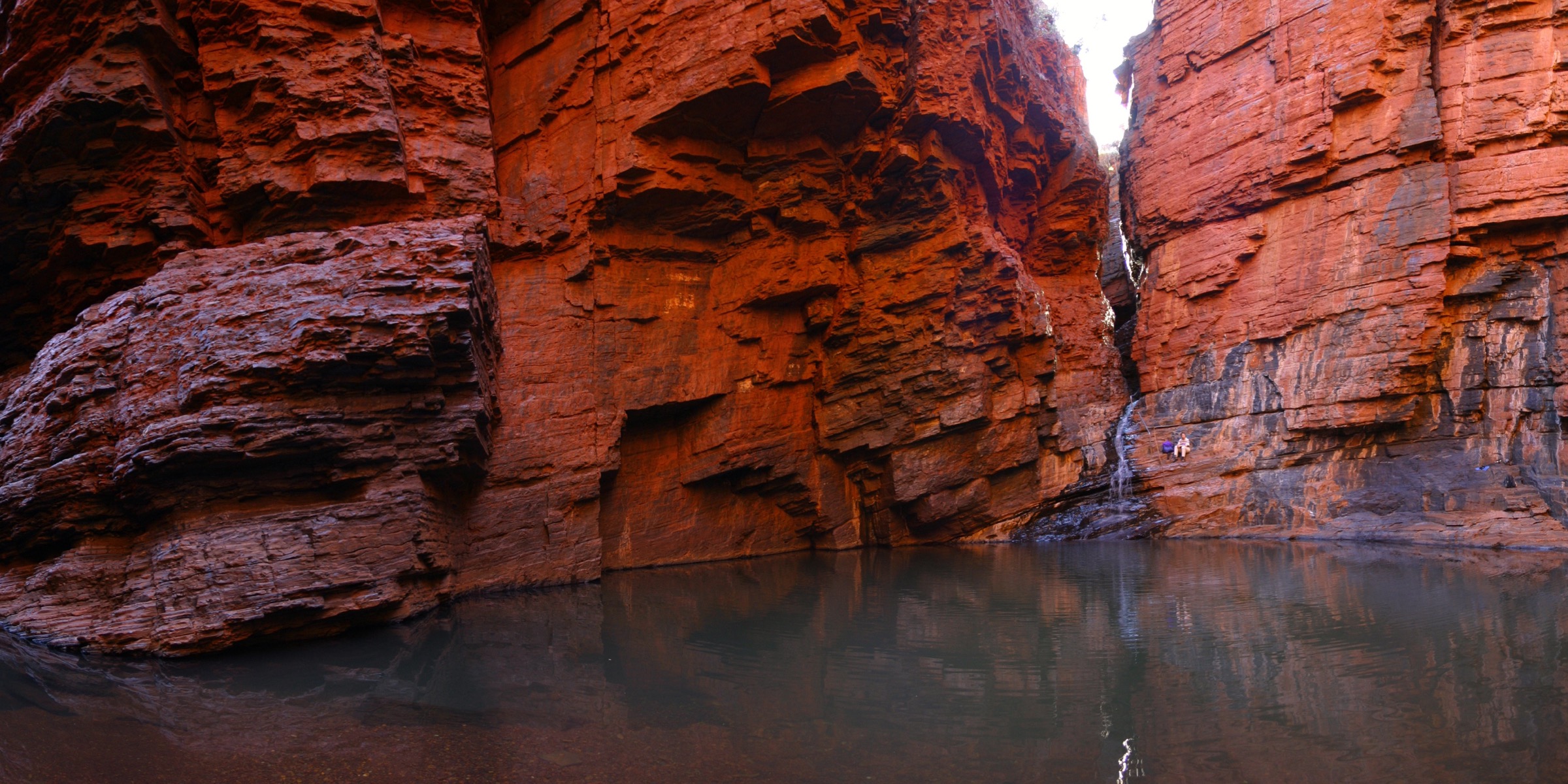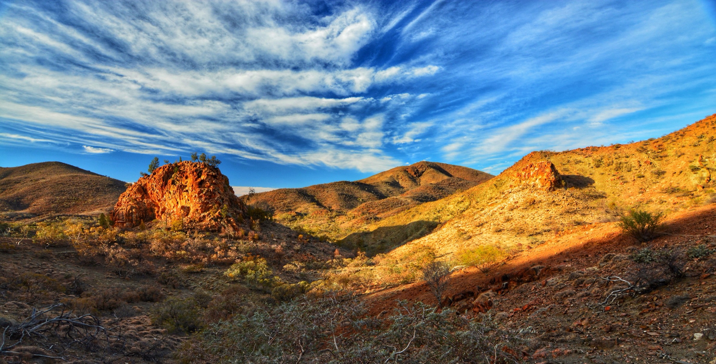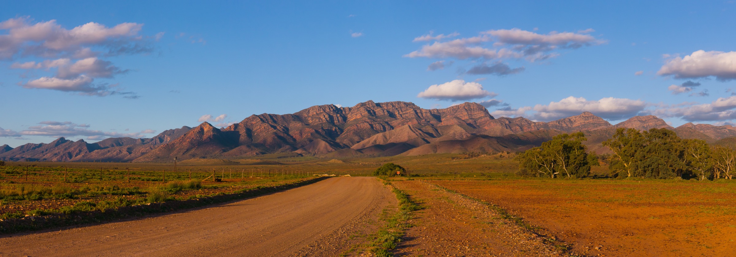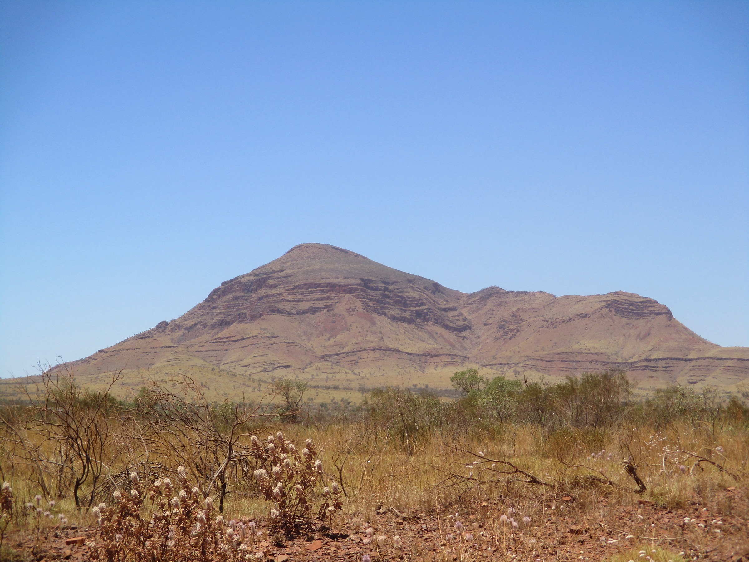
Regional overview
Mount Bruce, called Punurrunha by the Banyjima Traditional Owners, rises to 1,235 m at the south-western edge of Karijini National Park and is the second-highest named peak in Western Australia, after Mount Meharry (1,249 m) 40 km to the south-east. The mountain is a long ironstone ridge running north-west to south-east above the plain of the Marandoo iron-ore lease, part of the Hamersley Range’s central spine. It is a registered Banyjima cultural site, and the Traditional Owners have asked that walkers stay on the marked ridge track rather than moving freely across the summit plateau.
The mountain sits on the sealed Karijini Drive about 43 km south of the Karijini Visitor Centre and 60 km east of Tom Price. A signposted DBCA trailhead at approximately 610 m gives access to a single stacked walking system that shares its first 500 m before splitting into three official variants: the Marandoo View Walk (Class 2, ~500 m return), the Honey Hakea Track (Class 4, ~4.6 km return) and the full Punurrunha / Mount Bruce Summit Trail (Class 5, ~9 km return, ~450–620 m gain to the 1,235 m summit). Walkers should treat the summit trail as a serious mountain day-walk — DBCA rates it Class 5 for the steep upper switchbacks and a short chained scramble near the summit — but the two lower variants share the trailhead and give shorter alternatives from the same car park.
Because the Punurrunha area itself contains only three official routes, this entry treats Mount Bruce as a “hiking area” rather than a single trailhead and adds two nearby comparable day-walks: Mount Nameless / Jarndunmunha (1,128 m) at Tom Price, the nearest walker-accessible peak on the Hamersley plateau, and Oxer Lookout in Karijini’s Weano Recreation Area, the closest short rim walk that gives the same summit-plateau perspective across the surrounding gorges. Both are within an easy day drive of the Mount Bruce trailhead. Mount Meharry, the state high point, is included in the missing-data notes rather than the main selection because access is by 4WD track rather than a signposted walking trail.
The dominant hazard is heat. Summit temperatures on Punurrunha regularly exceed 40 °C in summer, there is no shade or water on the ridge, and rescue times are long. Walking is possible year-round in principle but the reliable dry-season window is roughly May to September. Cell coverage is absent at the Mount Bruce trailhead and on the ridge; a Personal Locator Beacon (PLB) is standard local practice for the full summit ascent.
Selection rationale
The five walks are selected to give a balanced day-walking picture of the Mount Bruce area within the constraints of a compact region. The three official Mount Bruce variants — Summit Trail, Honey Hakea and Marandoo View — are treated as three separate hikes because they share a trailhead but represent very different levels of commitment and give different objectives (summit, mid-mountain plateau, single viewpoint). Mount Nameless / Jarndunmunha is added as the nearest comparable peer summit reachable in the same day, and Oxer Lookout in the Weano Recreation Area is added as the closest short rim walk offering the same “elevated gorge and range” perspective on the way to or from the Mount Bruce trailhead. Mount Meharry, the state high point, was considered but excluded from the main list because the standard route is a 4WD track rather than a marked walking trail; it is flagged as follow-up in the missing-data section.
Summary table
| # | Hike | Country | Route type | Distance | Gain | Max elevation | Difficulty |
|---|---|---|---|---|---|---|---|
| 1 | Punurrunha / Mount Bruce Summit Trail | Australia | Out-and-back | ~9 km | ~450–620 m | 1,235 m | Class 5 (DBCA) |
| 2 | Honey Hakea Track (Mount Bruce lower plateau) | Australia | Out-and-back | ~4.6 km | ~200 m | ~810 m | Class 4 (DBCA) |
| 3 | Marandoo View Walk | Australia | Out-and-back | ~500 m | ~30 m | ~640 m | Class 2 (DBCA) |
| 4 | Mount Nameless / Jarndunmunha (Tom Price) | Australia | Out-and-back | ~4.5 km | ~380 m | 1,128 m | Grade 4 (AWTGS) |
| 5 | Oxer Lookout (Weano Recreation Area) | Australia | Out-and-back | ~800 m | ~20 m | ~720 m | Class 3 (DBCA) |
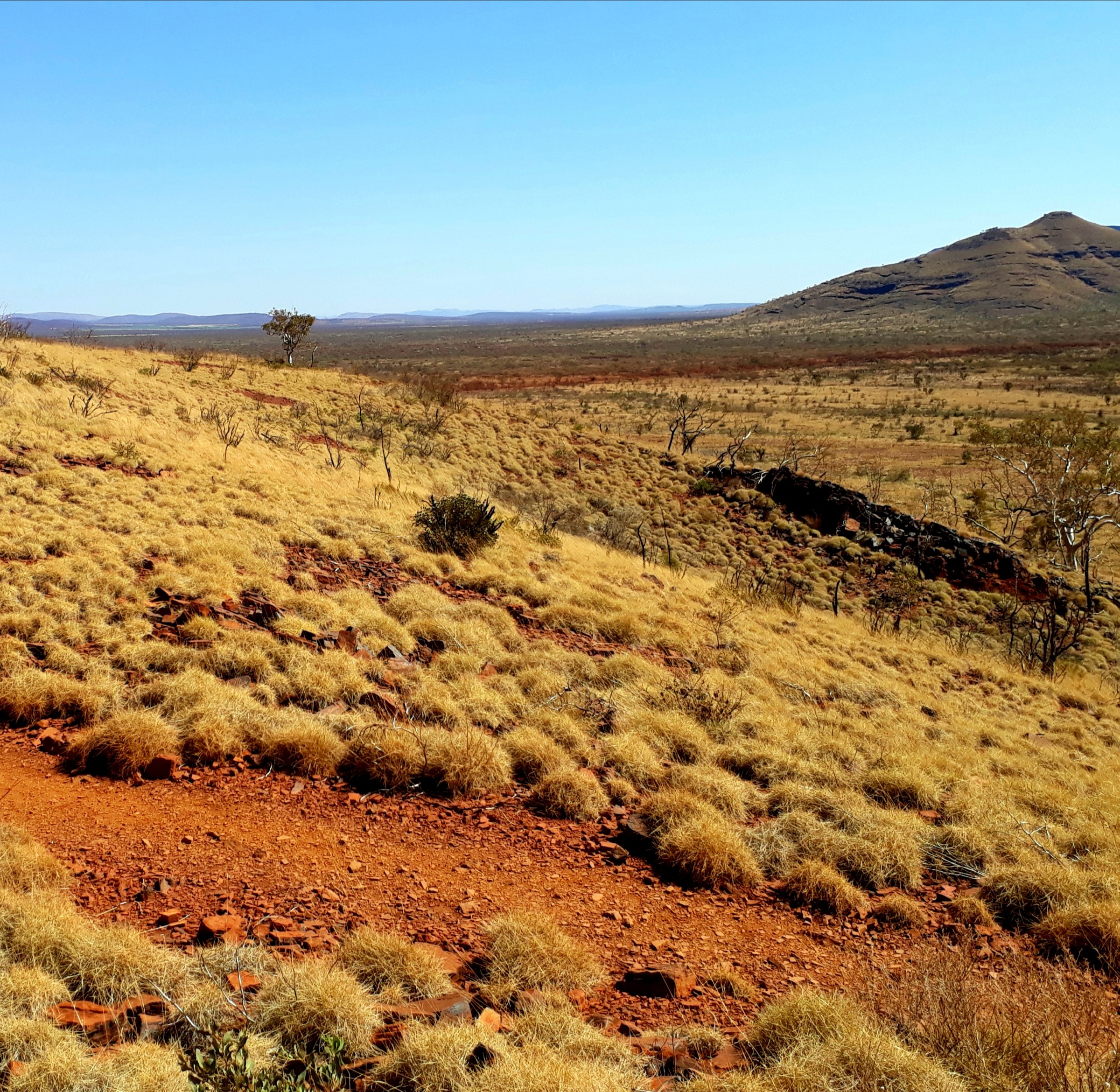
1. Punurrunha / Mount Bruce Summit Trail
Snapshot
Itinerary
The trailhead sits on the northern side of Karijini Drive at the base of the Punurrunha ridge, with a signposted DBCA information shelter and a small unsealed car park. The track climbs gently across the lower talus for the first 500 m, sharing the tread with the Marandoo View and Honey Hakea variants, and reaches the Marandoo View platform — a signposted timber lookout above the Marandoo iron-ore mine to the north. From the platform the route steepens and follows a marked ridge onto a shallow plateau that continues for approximately 1.8 km to the Honey Hakea signpost, the recommended turnaround for parties who do not intend to continue to the summit.
Beyond Honey Hakea the trail becomes Class 5: the ridge narrows and steepens, follows a series of switchbacks through banded ironstone benches, and includes a short chained scramble on a near-vertical iron formation about 500 m below the top, where natural rectangular blocks give hand- and foot-holds. Above the chain the route continues along the exposed upper ridge to the summit trig at 1,235 m, with panoramic views south to the Fortescue Valley and Mount Meharry, north across Karijini’s northern gorges and east along the Hamersley spine. Return is on the same line down the ridge to the trailhead.
Why it is essential
Punurrunha is the second-highest peak in Western Australia and the only high summit in the Hamersley Range that is reachable by a signposted foot track. The full summit day is the flagship walk of the Mount Bruce area and, along with the state high point at Mount Meharry, one of the two “state peaks” of Western Australia.
Equipment
- Sturdy boots (rocky, unstable underfoot)
- Broad-brimmed hat, long sleeves, high-SPF sun protection
- 3–4 L of water minimum (no water on route)
- Warm and weatherproof layer for the summit
- Map and GPS; compass backup
- Personal Locator Beacon (PLB) recommended
- Trekking poles useful for the descent
- Headtorch for a long day
- First-aid kit including snake-bite bandage
- No drones
Hazards and notes
- Punurrunha is a Banyjima cultural site — keep to the marked track and do not spread out across the summit plateau.
- The chained scramble is exposed and rocky; not suitable in wet conditions or for parties with vertigo.
- Fully exposed ridge with no shade or water for the entire route.
- Rescue is slow — trailhead is remote and cell coverage absent on the mountain.
- Snake activity from spring through autumn.
- Do not attempt in summer (November to March) unless conditions are unusually cool; DBCA advises against.
GPX / route file
| Source | URL | Format | Notes |
|---|---|---|---|
| DBCA Explore Parks WA — Mount Bruce | exploreparks.dbca.wa.gov.au | Web page | Official route source; no direct GPX download published |
| Trails WA — Mount Bruce Summit, Karijini NP | trailswa.com.au | Web page | Distance, time and grade cross-check |
| Trail Hiking Australia — Mt Bruce Summit (11 km) | trailhiking.com.au | Web page | Alternate distance reference |
Sources
- DBCA Explore Parks WA — Mount Bruce
- Trails WA — Mount Bruce Summit, Karijini NP
- Trail Hiking Australia — Mt Bruce Summit
- Wikipedia — Mount Bruce (Western Australia)
- Wikimedia Commons — Hummock grassland of Mt Bruce
2. Honey Hakea Track
Photo status: No licence-compatible image found in this pass.
Snapshot
Itinerary
The Honey Hakea Track shares the first 500 m of the summit trail from the Karijini Drive trailhead, passing the Marandoo View lookout and continuing along the lower ridge onto a shallow plateau of triodia hummock grassland studded with honey hakea (Hakea suberea) and native pine. The track climbs steadily but without any technical scrambling for a further 1.8 km to a signposted plateau viewpoint that gives the standard mid-mountain outlook across the Marandoo mine and the Hamersley Range foothills. This is the recommended turnaround for parties without the fitness, gear or heat window for the full 9 km summit day. Return is on the same line back down the ridge.
Why it is essential
Honey Hakea is the natural short-day alternative on Punurrunha and gives essentially the same panoramic character as the summit trail without the exposure of the upper chained section. It is the standard variant for family parties, older walkers or anyone caught short on time or water at the Marandoo View turnaround.
Equipment
- Sturdy walking shoes or light boots
- Broad-brimmed hat and sun protection
- 2 L of water minimum (no water on route)
- Warm layer for the plateau
- Map and GPS
- First-aid kit including snake-bite bandage
- No drones
Hazards and notes
- No scrambling but a sustained rocky climb; not suitable in wet conditions.
- Fully exposed; no shade above the trailhead.
- Snake activity through the warmer months.
- Cell coverage absent.
- Do not attempt in summer heatwave conditions.
GPX / route file
| Source | URL | Format | Notes |
|---|---|---|---|
| DBCA Explore Parks WA — Mount Bruce | exploreparks.dbca.wa.gov.au | Web page | Official route source; no direct GPX download published |
Sources
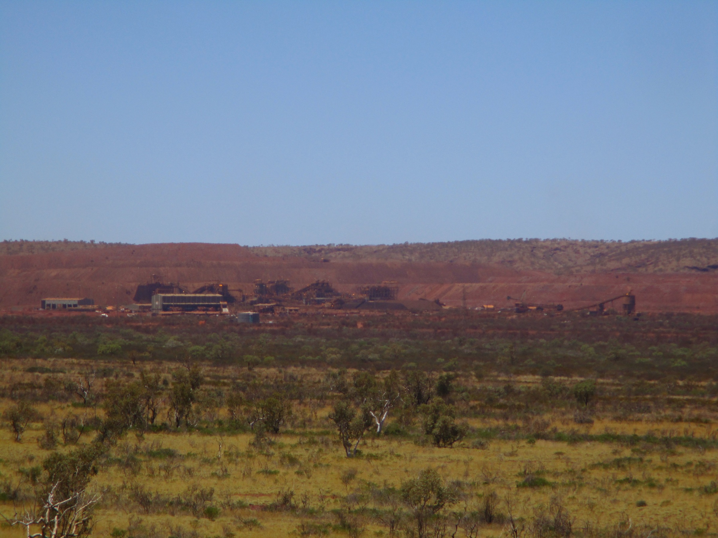
3. Marandoo View Walk
Snapshot
Itinerary
The Marandoo View Walk shares the first 500 m of the Mount Bruce trail system. A formed gravel path leaves the trailhead and climbs gently along the lower flank of the ridge to a signposted timber platform giving a panoramic north-facing view over the Marandoo iron-ore mine, the mine haul roads and the wider Hamersley Range beyond. Return is on the same line down to the car park. The path is short but exposed and unshaded.
Why it is essential
Marandoo View is the accessible short walk of the Mount Bruce trailhead and the only Punurrunha variant that a family with young children or a walker with limited time can complete on a single stop along Karijini Drive. It is also the standard turn-back point for parties that have run out of water, time or daylight on an intended summit day.
Equipment
- Walking shoes
- Sun protection
- 500 mL–1 L water
- No drones
Hazards and notes
- Very short but fully exposed; no shade.
- Cell coverage absent.
- Path drop-off at the platform edge; watch children.
GPX / route file
| Source | URL | Format | Notes |
|---|---|---|---|
| DBCA Explore Parks WA — Mount Bruce | exploreparks.dbca.wa.gov.au | Web page | Official route source; no direct GPX download published |
Sources
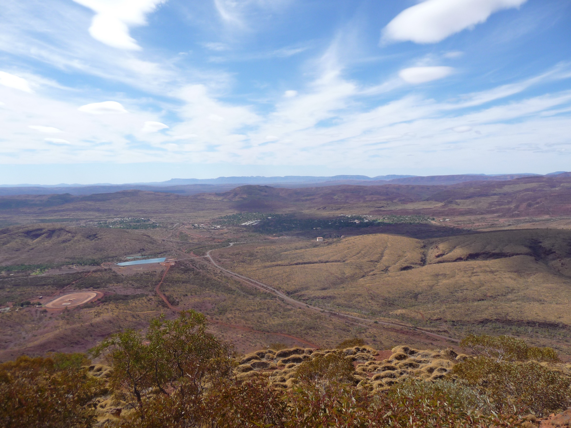
4. Mount Nameless / Jarndunmunha (Tom Price)
Snapshot
Itinerary
Mount Nameless — Jarndunmunha to its Banyjima Traditional Owners — rises immediately west of Tom Price and is the town’s headline day-walk. The signposted walking trailhead sits about 4 km from the town centre off Nameless Valley Drive. The route climbs steeply from the start through a scree slope with rock-carved steps and rail-assisted sections, then follows the exposed south-eastern ridge on a rockier line of loose shale and gravel to the summit at 1,128 m. The top gives an open panorama over the Hamersley Range to the east, the Rio Tinto Tom Price iron-ore mine to the north, and the town below. Return is on the same line down the ridge; a separate 4WD track ascends the mountain from the north-eastern side and is not covered here.
Why it is essential
Mount Nameless is the nearest walker-accessible peak to Mount Bruce and the natural pairing for anyone spending a weekend in the region. It is the only signposted summit walk between Punurrunha and the coast and gives a compact, technically similar Grade 4 climb without the length or exposure of the full Mount Bruce day.
Equipment
- Sturdy boots (loose shale on the descent is the crux)
- Sun protection
- 2 L of water minimum (no water on route)
- Warm layer for the summit
- Trekking poles useful for the descent
- First-aid kit
- No drones over the adjacent mine lease
Hazards and notes
- Loose shale and gravel on the descent — this is where most injuries occur.
- Fully exposed ridge; no shade.
- Do not attempt in summer heatwave conditions.
- The 4WD track is a separate route; do not attempt to descend it on foot.
- Cell coverage is patchy but present near the top.
GPX / route file
| Source | URL | Format | Notes |
|---|---|---|---|
| Trails WA — Mt Nameless Walk Trail, Tom Price | trailswa.com.au | Web page | Official route source |
| Trail Hiking Australia — Mount Nameless Walk | trailhiking.com.au | Web page | Distance and grade cross-check |
| Australia’s North West — Mount Nameless / Jarndunmunha | australiasnorthwest.com | Web page | Traditional name and cultural note |
Sources
- Trails WA — Mt Nameless Walk Trail, Tom Price
- Trail Hiking Australia — Mount Nameless Walk
- Wikimedia Commons — Tom Price town from Mount Nameless
5. Oxer Lookout (Weano Recreation Area)
Snapshot
Itinerary
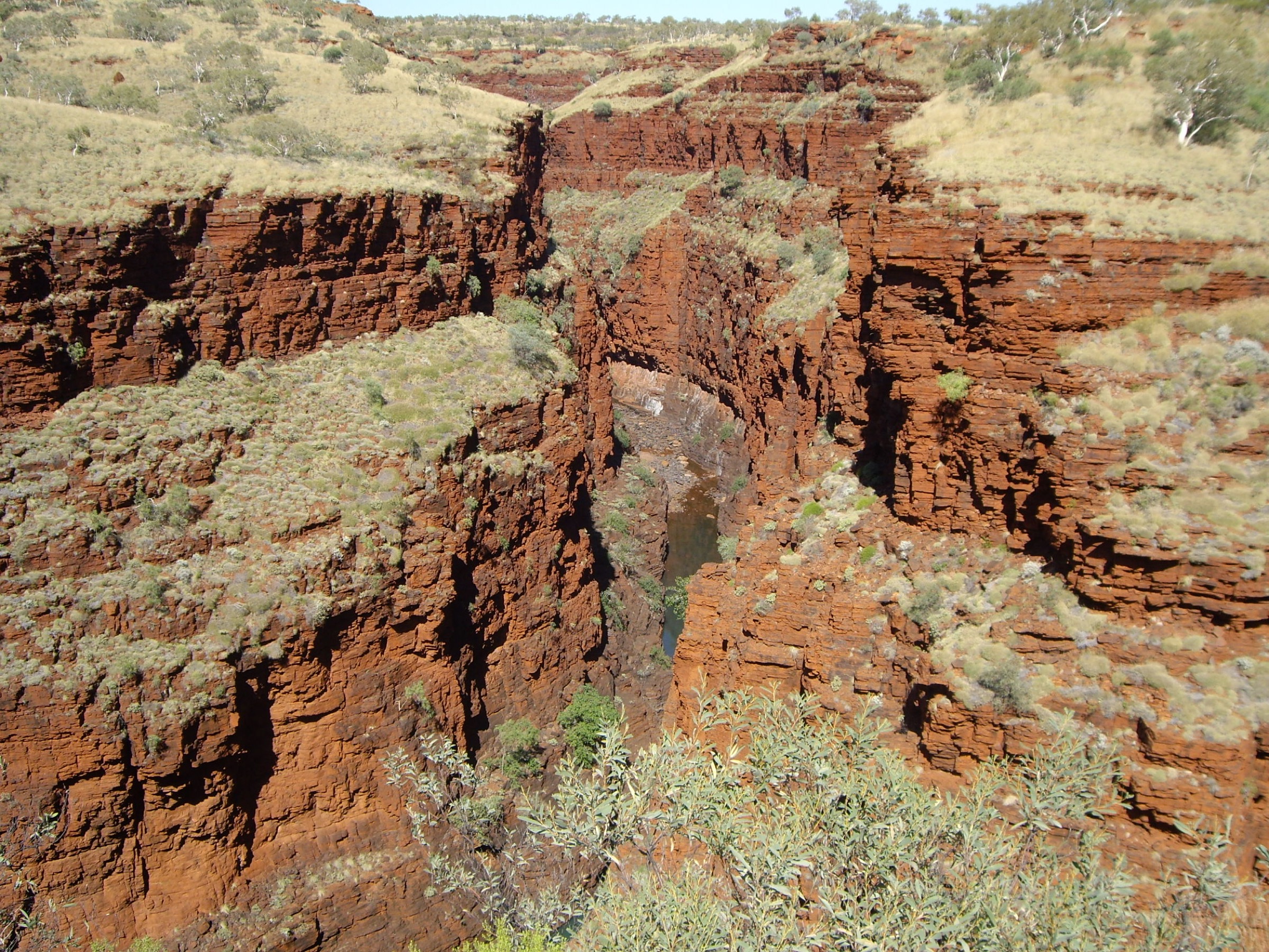
Oxer Lookout sits above the junction where four Karijini gorges — Weano, Hancock, Joffre and Red — meet at a single point roughly 100 m below the rim. A short formed track leaves the Weano Recreation Area car park, crosses open ironstone benches through native pine and spinifex, and reaches a fenced platform on the rim directly above the confluence. The view down into the four converging slots is the standard “Karijini overview” photograph and gives an aerial sense of the Class 5 gorge floors covered separately in the Karijini gorge-country entry. A short spur continues north-west along the rim to a second platform at the Junction Pool Lookout. Return is on the same line.
Why it is essential
Oxer is the shortest walker-accessible viewpoint that combines a summit-plateau perspective with a direct view down into the Class 5 gorge network. For a party spending the day at Mount Bruce it is the natural short second stop on the drive back through Karijini and gives the “gorge context” for the plateau summit itself.
Equipment
- Walking shoes
- Sun protection
- 1 L water
- Hat and warm layer in cooler months
- No drones
Hazards and notes
- Platform is fenced but the rim on either side is exposed — watch children.
- Fully exposed; no shade.
- Cell coverage absent.
- Track can be dusty and hot in the afternoon.
GPX / route file
| Source | URL | Format | Notes |
|---|---|---|---|
| DBCA Explore Parks WA — Weano Recreation Area | exploreparks.dbca.wa.gov.au | Web page | Official route source; no direct GPX download published |
Sources
Region-level sources
| Source | URL |
|---|---|
| DBCA Explore Parks WA — Karijini National Park | exploreparks.dbca.wa.gov.au |
| DBCA Explore Parks WA — Mount Bruce | exploreparks.dbca.wa.gov.au |
| DBCA Explore Parks WA — Weano Recreation Area | exploreparks.dbca.wa.gov.au |
| Trails WA — Mount Bruce Summit | trailswa.com.au |
| Trails WA — Mt Nameless Walk Trail, Tom Price | trailswa.com.au |
| Australia’s North West — Mount Bruce | australiasnorthwest.com |
| Wikipedia — Mount Bruce (Western Australia) | en.wikipedia.org |
| Wikipedia — Mount Meharry | en.wikipedia.org |
Further reading
Nearby Hamersley Range guides on Storm
- Chichester Range / Millstream
- Trails WA — Mount Bruce Summit, Karijini NP
- Australia’s North West — Karijini and the Pilbara
- Wikipedia — Banyjima people
Missing data / follow-up work
- Mount Meharry (1,249 m) is the state high point of Western Australia and lies 40 km south-east of Mount Bruce. Standard access is via an unsealed 4WD track (Juna Downs Station) rather than a marked walking trail; it is excluded from the main selection but included here as a follow-up candidate for parties travelling with 4WD support. Confirm current access permissions and station-gate status with DBCA before travel.
- No licence-compatible photo of the Honey Hakea Track was located in this pass; the hike is described without a figure.
- Elevation gain for the Mount Bruce Summit Trail varies between sources (~450 m per Trails WA; up to ~620 m by trailhead-to-summit difference). Use the higher figure for planning.
- DBCA does not publish direct GPX or KML downloads for any of the walks listed above. All route files are official web-page sources.
- Cyclone-driven wet-season closures of Karijini Drive can affect access to Mount Bruce — confirm current conditions via DBCA alerts before travel.