Regional overview
Millstream-Chichester National Park covers roughly 200,000 hectares of the north-western Pilbara, straddling two very different landscapes on either side of the Fortescue River about 150 km south of Karratha and 90 km inland from the Indian Ocean. The Yindjibarndi people are the Traditional Owners of the Millstream oasis and much of the Chichester Range; the Ngarluma people hold Country across the northern edge of the park toward Roebourne. The park was formed in 1982 by merging the pastoral-era Millstream station (gazetted as a national park in 1970) with the Chichester Range escarpment to the north, and DBCA now co-manages the park with the Yindjibarndi Aboriginal Corporation.
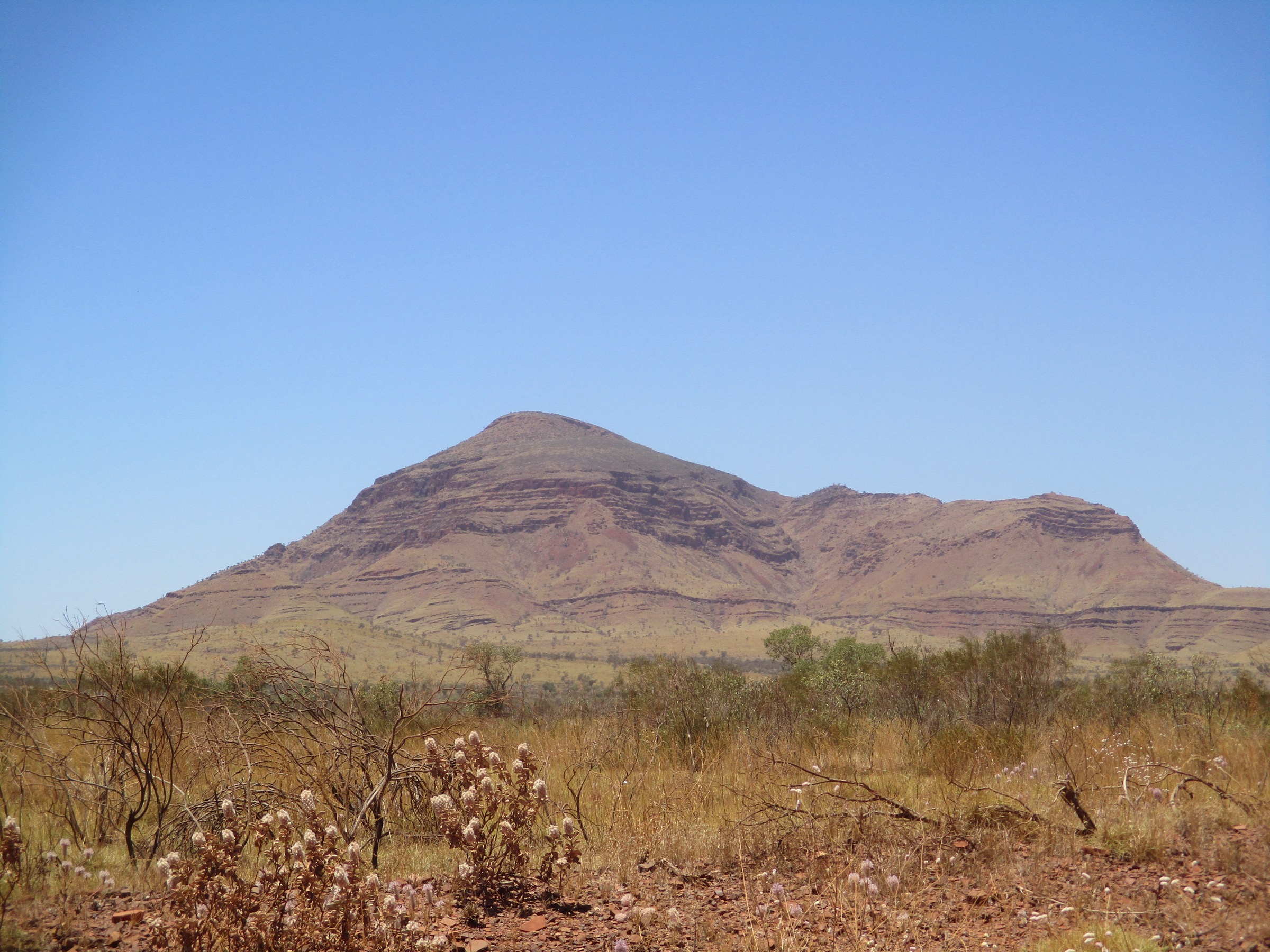
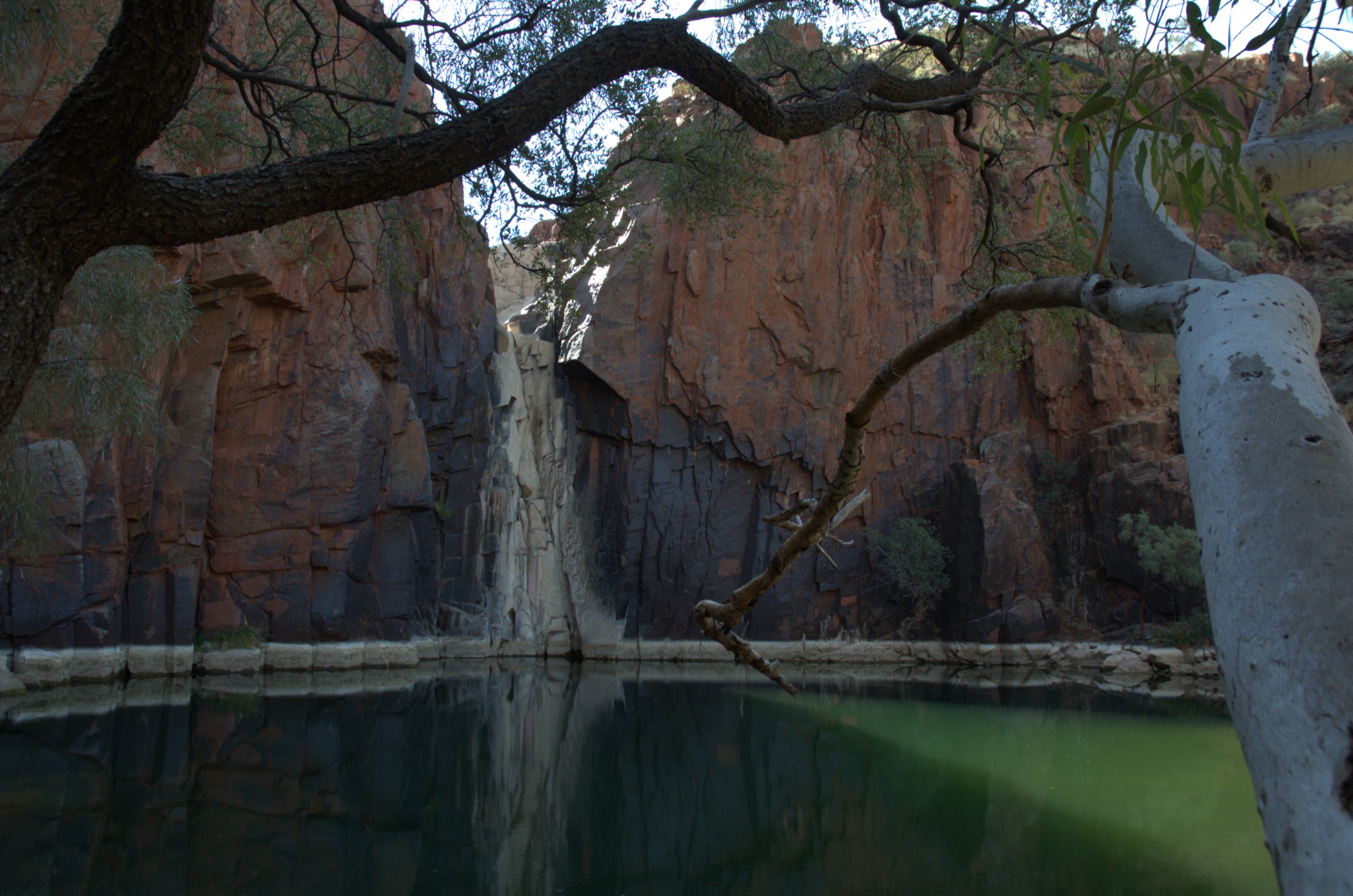
The park has two distinct hiking characters. North of the Fortescue, the Chichester Range rises as a low but steep basalt-and-sandstone escarpment about 100–150 m above the coastal plain, capped by rolling spinifex plateau and cut by sharp gullies. Python Pool (Warrungunha) sits at the base of this escarpment and is the classic Chichester waterhole — a permanent plunge pool fed by seasonal falls off the range. South of the Fortescue, the Millstream oasis is fed by the Millstream aquifer, a Pleistocene-age groundwater system in the Millstream Dolomite that maintains permanent pools along the Fortescue River even at the end of the dry season. Chinderwarriner Pool (near the old homestead), Crossing Pool and Deep Reach (Nhanggangunha) are the three main Millstream pools. The Fortescue palm (Livistona alfredii), endemic to the Millstream and Fortescue systems, gives the oasis its unmistakable character.
The reliable walking season runs from about May to September — the Pilbara dry — when overnight lows are cool, days sit at 25–30 °C and the pools are cold but swimmable. Summer (November to March) is extreme: daytime highs regularly exceed 40 °C, and cyclone-driven rainfall can flood the unsealed access roads for days at a time. Roebourne–Wittenoom Road (the northern access) and the road across the Fortescue crossing to Millstream are periodically closed after heavy rain; the sealed Karratha–Tom Price Road connects the park to both regional hubs but the last 40–50 km on each side of the park boundary is unsealed. Check DBCA alerts at parks.dpaw.wa.gov.au and Main Roads WA for current conditions before travel.
Millstream-Chichester uses the DBCA six-class trail grading system rather than the Australian Walking Track Grading System (AWTGS) used in the eastern states. Classes 1 and 2 are boardwalks and formed paths accessible to most visitors; Class 3 is a marked bushwalk on rougher tread; Class 4 involves steeper gradients, unstable surfaces and no continuous formed tread; Class 5 is an unmarked route in remote terrain; Class 6 requires technical equipment and is by permit only. All of the walks listed below are Classes 2 to 4. The park’s flagship walk, the Chichester Range Camel Trail (Murlunmunyjurna Trail), is Class 4 and periodically closed for prescribed burns — DBCA published a June 2026 burn window on this trail; check current alerts before departure.
Selection rationale
The five walks give a balanced day-walking picture of the two landscapes that define the park. Python Pool and the Cliff Lookout are the two Chichester Range short walks that share a trailhead and give first the base-of-the-escarpment perspective (the pool) and then the top-of-the-escarpment perspective (the lookout); together they are the standard half-day at the northern end of the park. The Chichester Range Camel Trail (Murlunmunyjurna) is the longer connecting route between the Python Pool area and the McKenzie Springs / Camp campground area on the plateau — the only DBCA-marked route that gives a full escarpment traverse and the flagship day-walk of the park. The Homestead Walk (Jirndawurrunha) is the standard Millstream heritage-and-oasis loop through the palm-lined Chinderwarriner Pool at the old station. The Millstream pool walks at Deep Reach (Nhanggangunha) and Crossing Pool are combined as a single short-walk entry because both are short, drive-in access points on the same road system and are almost always visited together as the southern day’s second stop. Longer overnight options such as the full Fortescue River route are excluded to keep the selection to day-walks.
Summary table
| # | Hike | Country | Route type | Distance | Gain | Max elevation | Difficulty |
|---|---|---|---|---|---|---|---|
| 1 | Python Pool Track (Warrungunha) | Australia | Out-and-back | ~600 m | ~20 m | ~200 m | Class 2 (DBCA) |
| 2 | Cliff Lookout Trail | Australia | Out-and-back | ~1.6 km | ~90 m | ~285 m | Class 3 (DBCA) |
| 3 | Chichester Range Camel Trail (Murlunmunyjurna) | Australia | Point-to-point | ~8 km one-way | ~150 m | ~285 m | Class 4 (DBCA) |
| 4 | Homestead Walk (Jirndawurrunha) | Australia | Loop | ~2.6 km | ~30 m | ~155 m | Class 3 (DBCA) |
| 5 | Deep Reach & Crossing Pool short walks | Australia | Short walks | ~1.5 km combined | ~20 m | ~155 m | Class 2 (DBCA) |
1. Python Pool Track (Warrungunha)
Snapshot
Itinerary
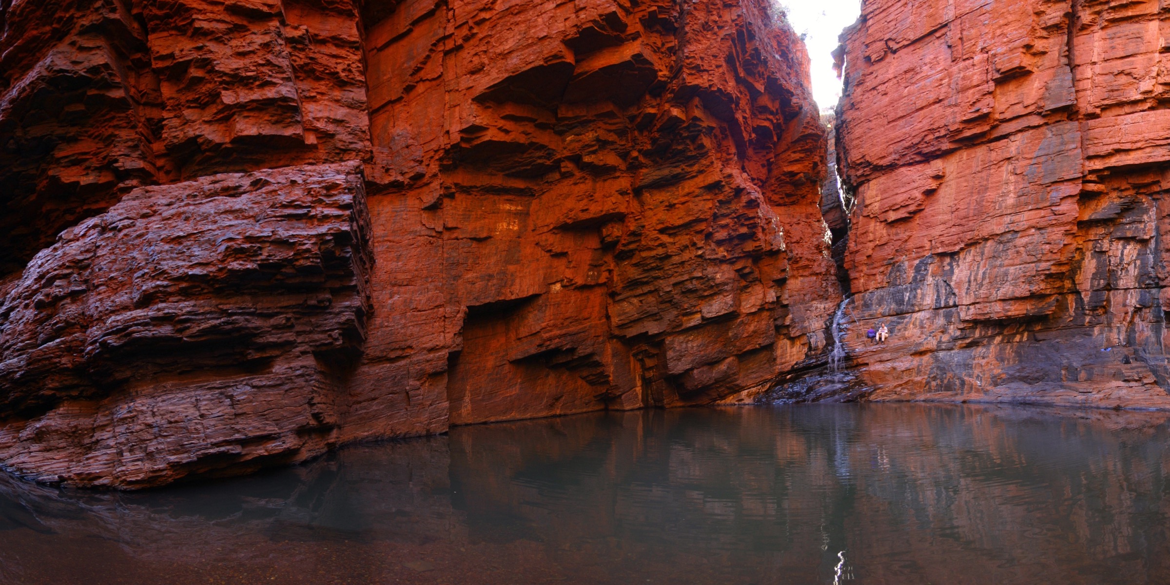
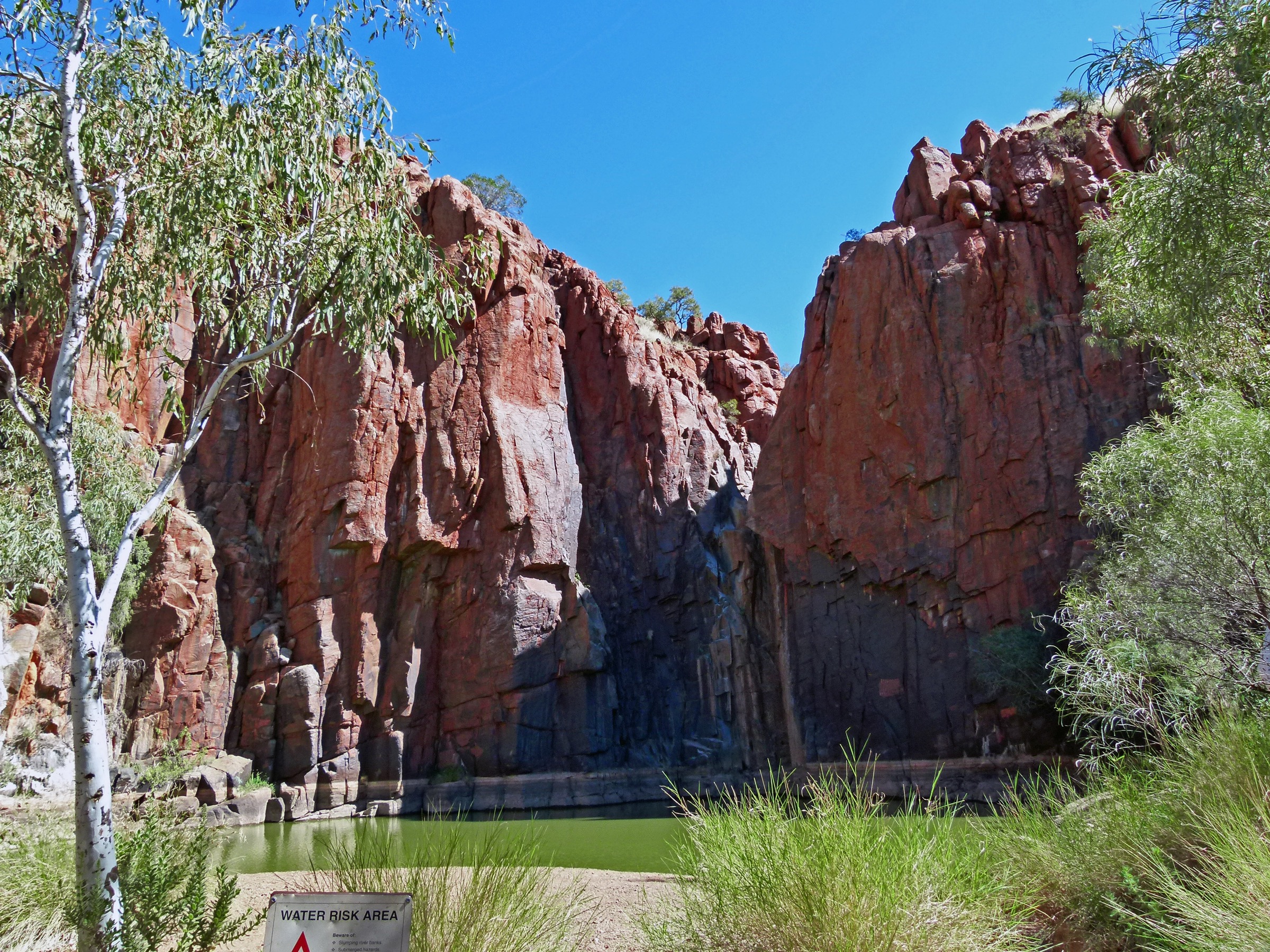
The Python Pool car park sits on the eastern side of the Roebourne–Wittenoom Road at the base of the Chichester Range, with a signposted DBCA information shelter and a small day-use area. The track leaves the car park and follows a broad formed path east into a short gully, crossing the boulder-strewn creek bed on flat stones and reaching the plunge pool at the base of a near-vertical basalt cliff about 300 m from the trailhead. The pool is roughly 40 m across and permanent, though it can shrink to a shallow puddle at the end of a long dry season; the seasonal waterfall above it flows only after rain. Swimming is permitted but not recommended after heavy rain when the pool can be silty and the surrounding rocks slippery. Return is on the same line back to the car park.
Why it is essential
Python Pool is the iconic Chichester Range image and the shortest walk in the park that reaches a permanent water body from the road. It is the standard first stop for anyone entering the park from the north and gives the base-of-the-escarpment view that pairs directly with the Cliff Lookout above.
Equipment
- Walking shoes or light boots
- Broad-brimmed hat and sun protection
- 1 L water
- Swimwear and quick-dry towel in summer
- No drones (park rules)
Hazards and notes
- Path is short but the final approach is over uneven rock — care needed with children.
- Fully exposed; no shade above the trailhead.
- Pool water can be cold in winter and silty after rain; check clarity before swimming.
- Snake activity through the warmer months.
- Cell coverage patchy; expect none inside the gully.
GPX / route file
| Source | URL | Format | Notes |
|---|---|---|---|
| DBCA Explore Parks WA — Python Pool | exploreparks.dbca.wa.gov.au | Web page | Official route source; no direct GPX download published |
| Trails WA — Python Pool Walk Trail | trailswa.com.au | Web page | Distance and grade cross-check |
Sources
- DBCA Explore Parks WA — Python Pool
- Trails WA — Python Pool Walk Trail
- Wikimedia Commons — Millstream National Park, Pilbara, Python Pool
2. Cliff Lookout Trail
Snapshot
Itinerary
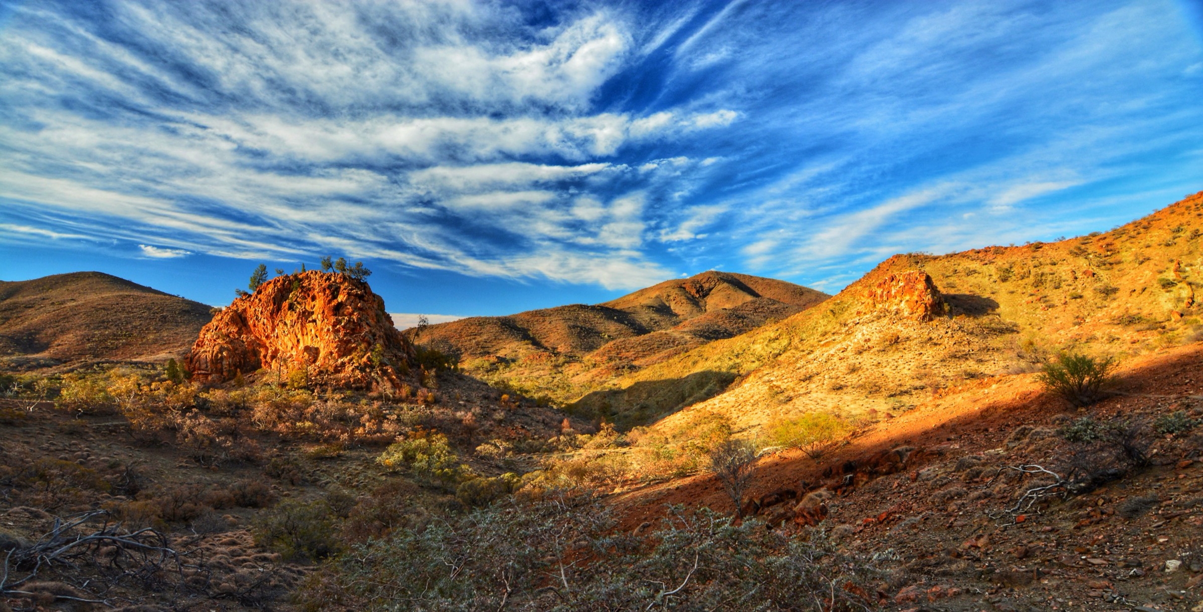
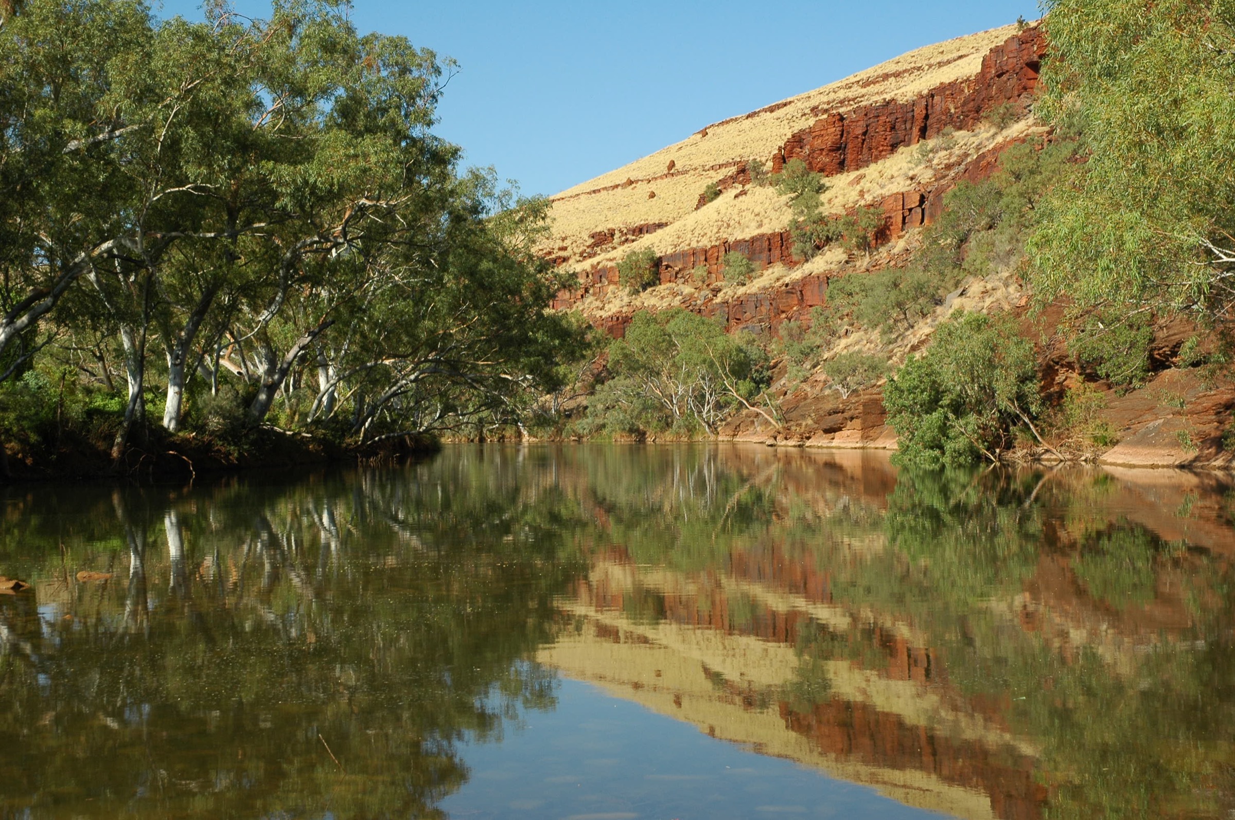
The Cliff Lookout Trail shares the Python Pool car park but heads uphill in the opposite direction from the pool. A signposted marked path climbs the western flank of the small ridge that flanks Python Pool, gaining height on rocky steps and short earthy switchbacks through spinifex and scattered snappy gums. About 700 m from the trailhead the path reaches the rim of the escarpment at approximately 285 m elevation, with a signposted lookout looking north across the coastal plain toward Roebourne and south across the plateau toward the head of the Fortescue Valley. Python Pool is directly below the lookout to the east, giving the top-of-the-escarpment view that pairs with the pool’s base-of-cliff view. Return is on the same line back to the car park.
Why it is essential
The Cliff Lookout is the natural companion walk to Python Pool and the shortest route in the park that reaches the top of the Chichester Range escarpment. Together the two walks give a complete escarpment perspective in under two hours and are the standard first-day pairing at the northern end of the park.
Equipment
- Walking shoes or light boots (rocky steps)
- Broad-brimmed hat and sun protection
- 1.5 L water minimum (no water on route)
- Warm layer in cooler months
- First-aid kit
- No drones
Hazards and notes
- Fully exposed climb with no shade above the trailhead.
- Rim is unfenced at the lookout — keep well back from the edge.
- Rocky steps slippery when wet; avoid immediately after rain.
- Snake activity through the warmer months.
- Cell coverage patchy near the rim; absent below.
- Do not attempt in summer heatwave conditions.
GPX / route file
| Source | URL | Format | Notes |
|---|---|---|---|
| DBCA Explore Parks WA — Millstream-Chichester National Park | exploreparks.dbca.wa.gov.au | Web page | Official route source; no direct GPX download published |
Sources
- DBCA Explore Parks WA — Millstream-Chichester National Park
- Wikimedia Commons — Chichester Range Millstream-Chichester NP
3. Chichester Range Camel Trail (Murlunmunyjurna Trail)
Photo status: No licence-compatible image found in this pass.
Snapshot
Itinerary
The Murlunmunyjurna Trail — locally known as the Chichester Range Camel Trail — follows a section of the historic camel-string route used to move station stores between the coast and the interior in the late nineteenth and early twentieth centuries. From the Python Pool car park the trail heads south around the shoulder of the escarpment and climbs steadily onto the Chichester plateau on rocky tread, gaining about 100 m in the first 2 km. Once on the plateau the trail contours across open spinifex country with scattered mulga and snappy gum, following cairned markers and the remains of the camel-string cut across rockier stretches. The route passes several minor gullies and the ephemeral head of the Warrungunha catchment before reaching McKenzie Springs and the McKenzie Camp campground on the southern edge of the plateau at approximately 285 m. The standard direction is Python Pool to McKenzie Camp, requiring a car shuttle; parties doing an out-and-back should plan a turnaround at 3–4 km based on time and heat.
Why it is essential
The Camel Trail is the flagship day-walk of the park and the only DBCA-marked route that gives a full traverse of the Chichester escarpment and plateau. It is a heritage route with a documented cultural history, and it connects the two main northern camping and day-use areas of the park on foot.
Equipment
- Sturdy boots (rocky tread throughout)
- Broad-brimmed hat, long sleeves, high-SPF sun protection
- 3–4 L of water minimum (no water on route)
- Warm layer for the plateau
- Map and GPS; compass backup
- Personal Locator Beacon (PLB) recommended for the full traverse
- Trekking poles useful on the descent to Python Pool
- Headtorch
- First-aid kit including snake-bite bandage
- No drones
Hazards and notes
- The trail is periodically closed for DBCA prescribed burns — a burn window was in effect in June 2026; confirm current status via DBCA alerts before departure.
- Fully exposed plateau with no shade and no water on route.
- Cairned sections on the plateau can be hard to follow after fire or wind — GPS is essential.
- Rescue is slow — plateau is remote and cell coverage absent.
- Snake activity through the warmer months.
- Do not attempt in summer (November to March) unless conditions are unusually cool.
- Two-vehicle shuttle required for the point-to-point option; McKenzie Camp is accessed via unsealed roads that may close after rain.
GPX / route file
| Source | URL | Format | Notes |
|---|---|---|---|
| Trails WA — Chichester Range Camel Trail, Millstream Chichester NP | trailswa.com.au | Web page | Official route source; distance and grade |
| DBCA Explore Parks WA — Millstream-Chichester National Park | exploreparks.dbca.wa.gov.au | Web page | Alerts and closures |
Sources
- Trails WA — Chichester Range Camel Trail
- DBCA Explore Parks WA — Millstream-Chichester National Park
- Australia’s North West — Millstream-Chichester NP
4. Homestead Walk (Jirndawurrunha)
Snapshot
Itinerary
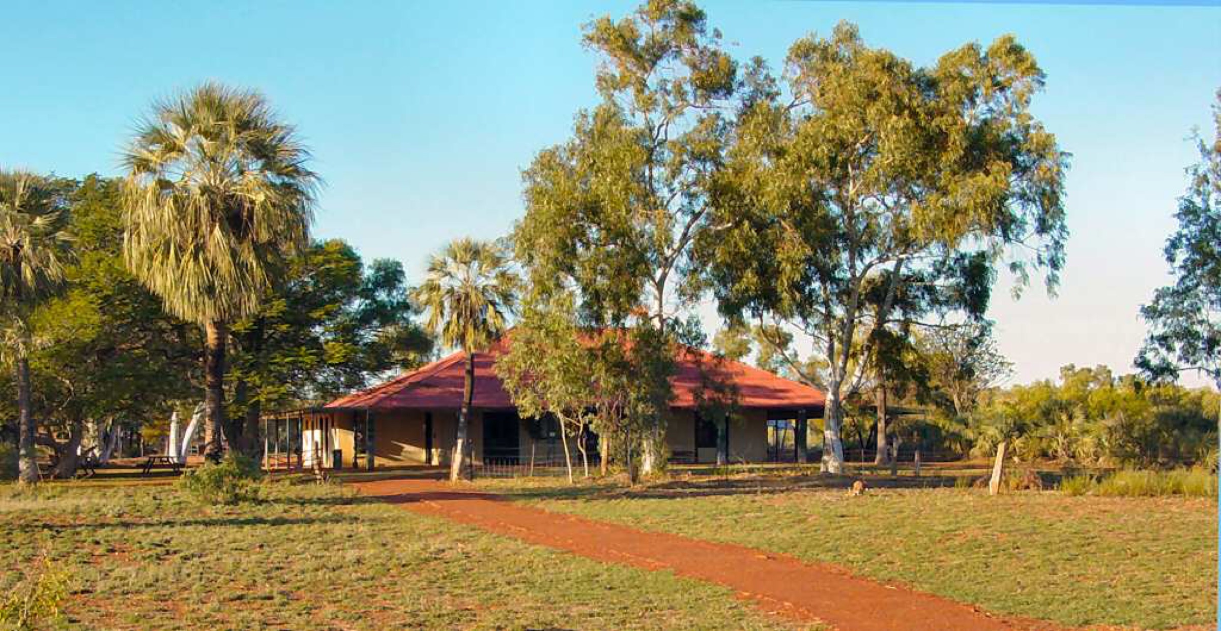
The Homestead Walk — Jirndawurrunha to the Yindjibarndi Traditional Owners — is the standard interpretive loop through the Millstream oasis. The route leaves the old station homestead, now the park’s Visitor Centre and unstaffed information hub, and heads south-west across the lawned garden past a stand of Millstream date palms into an open woodland of Fortescue palm (Livistona alfredii). A formed gravel path drops gently to the edge of Chinderwarriner Pool, a permanent Fortescue River pool fed by the Millstream aquifer, and follows the eastern bank for approximately 400 m through a corridor of paperbarks and river red gums. The route rejoins the homestead complex from the north-east through the old workers’ cottages and the interpretive signage explaining the pastoral history of the station and the Yindjibarndi Country it occupies. The loop is signposted throughout and returns to the car park.
Why it is essential
The Homestead Walk is the standard cultural and natural-history introduction to the Millstream oasis and the shortest route that combines the endemic Fortescue palm, a permanent aquifer-fed pool and the pastoral-era station buildings. It is the entry point for anyone visiting the southern sector of the park.
Equipment
- Walking shoes
- Broad-brimmed hat and sun protection
- 1 L water
- Insect repellent (mosquitoes near the pool)
- No drones
Hazards and notes
- Shaded and cool along the pool edge but exposed on the homestead lawn — carry sun cover.
- Pool banks can be muddy in places; watch footing near the water.
- Interpretive signage identifies sensitive Yindjibarndi cultural sites — respect requests to stay on the marked path.
- No swimming permitted in Chinderwarriner Pool.
- Cell coverage absent.
- Snake activity through the warmer months.
GPX / route file
| Source | URL | Format | Notes |
|---|---|---|---|
| DBCA Explore Parks WA — Millstream Homestead | exploreparks.dbca.wa.gov.au | Web page | Official route source; no direct GPX download published |
Sources
- DBCA Explore Parks WA — Millstream Homestead
- DBCA Explore Parks WA — Millstream-Chichester National Park
- Wikimedia Commons — Millstream-Chichester National Park DSC04096
5. Deep Reach & Crossing Pool Short Walks
Snapshot
Itinerary
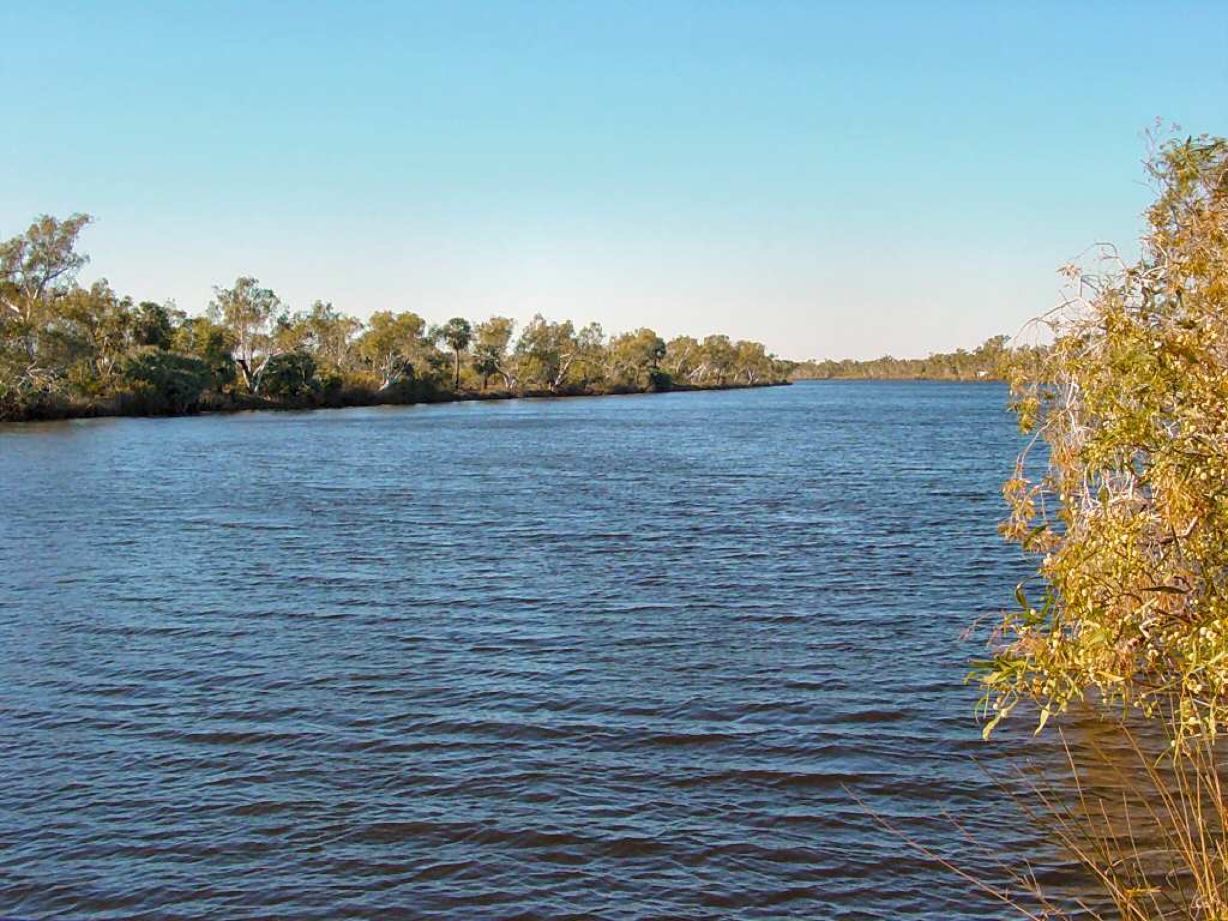
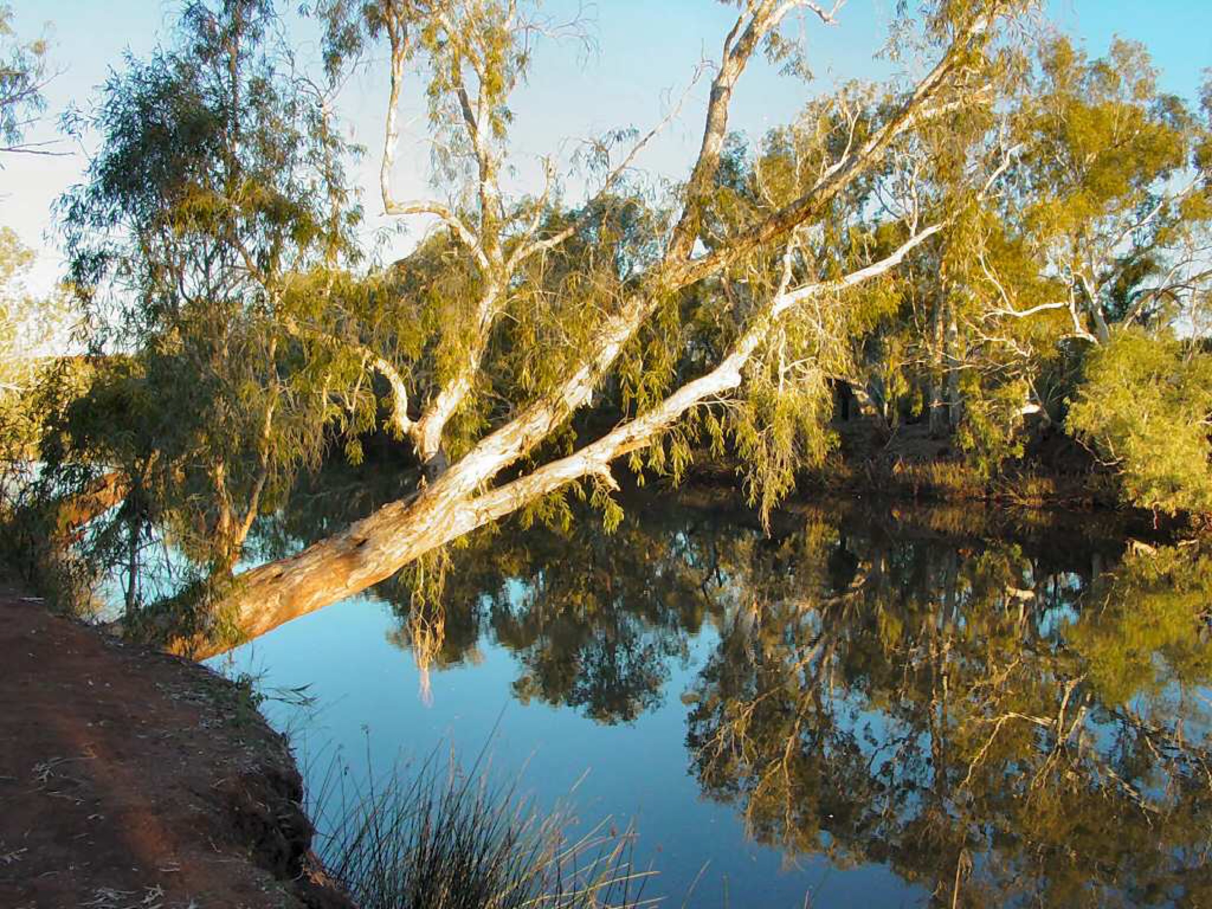
Deep Reach Pool — Nhanggangunha to the Yindjibarndi Traditional Owners — is a permanent Fortescue River pool about 5 km east of the Millstream Homestead along a signposted unsealed road. A short formed path from the day-use car park leads to a shaded viewing platform above the pool, with a further 500 m of river-edge track along the northern bank giving several access points to the water. Deep Reach is a sacred site: the Warlu (Barrimirndi) creation serpent is said to sleep in the pool, and Yindjibarndi cultural protocols request that visitors do not throw objects into the water or disturb the surface unnecessarily. Swimming is permitted but with cultural respect. From Deep Reach, drive approximately 10 km back through the Millstream Homestead area to reach the Crossing Pool day-use area, where a short formed path leads to another permanent Fortescue pool used as the park’s main southern camping area. Both pools are fringed with Fortescue palms and river red gums.
Why it is essential
Deep Reach and Crossing Pool are the two most-visited pools in the Millstream oasis and the shortest walks in the park that reach permanent river water on the Fortescue system. Together they give the standard southern-day pairing after the Homestead Walk and complete the “oasis in the desert” character of the Millstream sector.
Equipment
- Walking shoes
- Broad-brimmed hat and sun protection
- 1–2 L water
- Swimwear and quick-dry towel
- Insect repellent
- Camera (Fortescue palms and river red gums throughout)
- No drones
Hazards and notes
- Deep Reach is a Yindjibarndi sacred site — observe cultural protocols and do not throw objects into the pool.
- Pool banks can be muddy after rain; care needed near the edges.
- Swimming allowed but watch for freshwater crocodiles and submerged branches.
- Snake activity through the warmer months.
- Cell coverage absent.
- Unsealed access roads can close after heavy rain — confirm status at the Homestead.
GPX / route file
| Source | URL | Format | Notes |
|---|---|---|---|
| DBCA Explore Parks WA — Deep Reach Pool | exploreparks.dbca.wa.gov.au | Web page | Official route source; no direct GPX download published |
| DBCA Explore Parks WA — Crossing Pool | exploreparks.dbca.wa.gov.au | Web page | Official route source |
Sources
- DBCA Explore Parks WA — Deep Reach Pool
- DBCA Explore Parks WA — Crossing Pool
- Wikimedia Commons — Deep Reach Pool (DSC04112)
- Wikimedia Commons — Crossing Pool (DSC04090)
Region-level sources
| Source | URL |
|---|---|
| DBCA Explore Parks WA — Millstream-Chichester National Park | exploreparks.dbca.wa.gov.au |
| DBCA Explore Parks WA — Python Pool | exploreparks.dbca.wa.gov.au |
| DBCA Explore Parks WA — Millstream Homestead | exploreparks.dbca.wa.gov.au |
| DBCA Explore Parks WA — Deep Reach Pool | exploreparks.dbca.wa.gov.au |
| DBCA Explore Parks WA — Crossing Pool | exploreparks.dbca.wa.gov.au |
| Trails WA — Python Pool Walk Trail | trailswa.com.au |
| Trails WA — Chichester Range Camel Trail | trailswa.com.au |
| Australia’s North West — Millstream-Chichester NP | australiasnorthwest.com |
| Wikipedia — Millstream Chichester National Park | en.wikipedia.org |
Further reading
Nearby Hamersley Range guides on Storm
- Karijini / Hamersley Gorge Country
- Trails WA — Chichester Range Camel Trail
- Australia’s North West — Karratha and the Pilbara
- Wikipedia — Yindjibarndi people
- Wikipedia — Ngarluma people
Missing data / follow-up work
- No licence-compatible photograph of the Chichester Range Camel Trail (Murlunmunyjurna Trail) was located in this pass; the trail is described without a figure. A future pass through Wikimedia Commons or a request to Trails WA / DBCA for a licence-compatible image should be prioritised.
- Elevation figures for the Chichester Range escarpment and the Millstream sector are approximate — DBCA does not publish detailed elevation profiles for these walks, and figures here are derived from public topographic maps.
- DBCA does not publish direct GPX or KML downloads for any of the walks listed above. All route files are official web-page sources.
- A DBCA prescribed-burn window was in effect on the Chichester Range Camel Trail in June 2026; check current alerts before travel for post-burn track conditions and any residual closures.
- Cyclone-driven wet-season closures of Roebourne–Wittenoom Road and the unsealed access roads within the park can affect access at short notice — confirm current conditions via DBCA alerts and Main Roads WA before travel.
- The park is co-managed with the Yindjibarndi Aboriginal Corporation. Cultural protocols around Deep Reach (Nhanggangunha) and other sacred sites are described in DBCA and YAC materials that may not fully appear in web sources — consult on-site interpretive signage and the Visitor Centre for the current guidance.