Regional overview
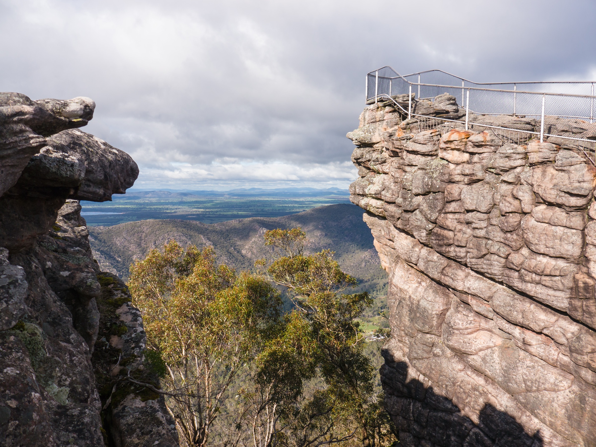
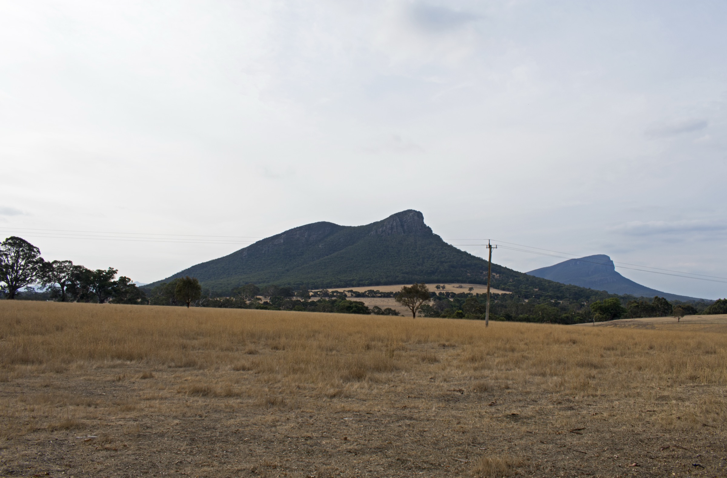
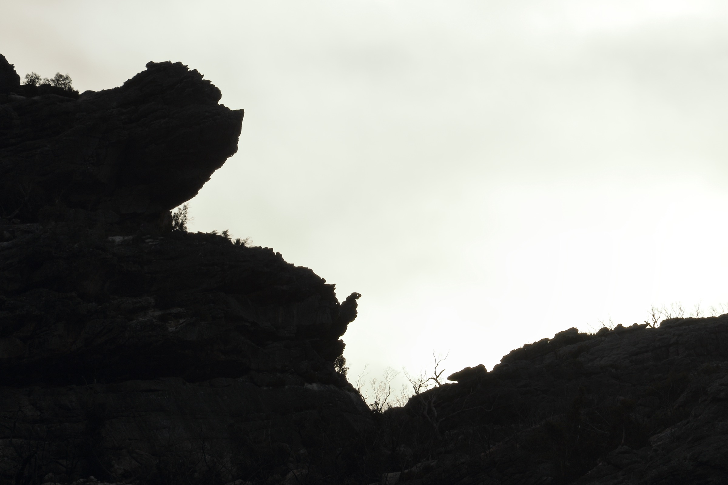
The Northern Grampians is the block of Grampians (Gariwerd) National Park north of Halls Gap, running from the Mount Difficult (Gar) Range near Roses Gap up to the Mount Stapylton area at the range’s outer northern edge. It is drier, more exposed and more overtly rocky than the central Wonderland country: pale sandstone terraces, wind-carved caves, ironstone cliffs, and shallow seasonal creeks feeding waterfalls that dry to a trickle by late summer. Trailheads sit off Mt Zero Road, Hollow Mountain Road, Roses Gap Road and Flat Rock Road, with Dadswells Bridge and Horsham as the practical service towns.
The walking character is short-but-technical on the northern shortlists — Hollow Mountain and Mount Stapylton both involve open sandstone slabs, rock-hopping and route-finding on marked but not always obvious lines — plus longer, more classic escarpment days at Briggs Bluff and the ridge beyond toward Mount Difficult (Gar). Beehive Falls and Gulgurn Manja round the shortlist out with a seasonal waterfall walk and the most significant accessible Jardwadjali rock-art shelter in the northern block.
Djab Wurrung and Jardwadjali names apply throughout: Gariwerd for the range itself, Gunigalg for Mount Stapylton, Wudjub-guyan for Hollow Mountain, Mura Mura for Mount Zero. Parks Victoria’s site pages use the paired names in headings; the cultural significance of the northern rock-art sites is central to how they are managed.
Currency notes (July 2026): the Mount Zero (Mura Mura) car park, picnic area and toilets are closed for Grampians Peaks Trail trailhead upgrades — Parks Victoria has advised drop-off and pick-up on Mt Zero Road, and the Stapylton Loop starting from Stapylton Campground on Flat Rock Road as the main working alternative. Brambuk the National Park and Cultural Centre at Halls Gap has been closed for upgrades in 2026. The 2024–25 fire season burned very large sections of Gariwerd; always check the Parks Victoria change-of-conditions page before travel.
Selection rationale
Five routes are presented to cover the Northern Grampians’ variety without duplicating trailheads. The Mount Stapylton (Gunigalg) Loop is the classic longer summit day of the outer northern block. Hollow Mountain (Wudjub-guyan) is the short scramble to wind-scoured caves near the same trailhead. Beehive Falls is the seasonal-waterfall walk from Roses Gap — short, family-friendly, and paired with the Briggs Bluff carpark. Briggs Bluff is the harder Gar-escarpment day from the same carpark, sampling the range’s most dramatic northern cliff country. Gulgurn Manja Shelter is the rock-art walk — short, culturally central, and the reason the northern block matters beyond its geology. Together the five cover an iconic summit, a short summit / caves scramble, a waterfall, a bigger escarpment day, and a cultural site.
Summary
| # | Hike | Trailhead | Route type | Distance | Gain | Max elevation | Difficulty |
|---|---|---|---|---|---|---|---|
| 1 | Mount Stapylton (Gunigalg) Loop | Mt Zero Picnic Area or Stapylton Campground | Loop | 9.7 km | Unresolved | ~523 m | Grade 4 |
| 2 | Hollow Mountain (Wudjub-guyan) Walk | Hollow Mountain Carpark | Out-and-back | 2.2 km | ~158 m | ~400 m | Grade 4 |
| 3 | Beehive Falls Walk | Beehive Falls Carpark, Roses Gap Rd | Out-and-back | 2.9 km | Unresolved | Unresolved | Grade 2 |
| 4 | Briggs Bluff Walk | Beehive Falls Carpark, Roses Gap Rd | Out-and-back | 10.6 km | 419 m | Unresolved | Grade 4 |
| 5 | Gulgurn Manja Aboriginal Rock Art Site | Gulgurn Manja / Hollow Mountain area | Out-and-back | 1.5 km | Unresolved | Unresolved | Grade 2 |
1. Mount Stapylton (Gunigalg) Loop
Snapshot
Itinerary
From the Mt Zero Picnic Area, the loop climbs through open woodland onto the pale sandstone slabs beneath the Taipan Wall amphitheatre, then works around the base of the wall and onto the Mount Stapylton (Gunigalg) summit ridge. Return is via the opposite arm of the loop, completing the circuit back to the picnic area. With the Mt Zero car park closed for Grampians Peaks Trail upgrades, the working alternative start is the Stapylton Campground on Flat Rock Road, which changes the segment order but not the overall route.
Route-finding on the slab sections is straightforward in good visibility and unpleasant in low cloud or after rain, when the rock is greasy underfoot and the marker cairns and blazes can be easy to miss.
Why it is essential
Mount Stapylton is the signature summit of the outer Northern Grampians: a wall-and-slab landscape with immediate views out over the Wimmera Plains, and the closest thing the northern block has to a full alpine-style loop day. It is the natural longer summit companion to the shorter Hollow Mountain scramble.
Equipment
- Sturdy boots with good grip on rock
- Sun protection, hat and 2.5–3 L water
- Rain jacket and warm layer
- First-aid kit and headlamp
- Map, compass and offline GPS — route markers can be intermittent on slabs
Hazards and notes
- Slippery sandstone slabs when wet — poor visibility makes route-finding harder
- Exposure and heat on open rock, especially in summer
- Steep sections and short rock-hopping near the summit
- Mt Zero car park closed for GPT trailhead upgrades — use Stapylton Campground or drop-off on Mt Zero Road
- Fire-danger closures possible in summer — check the Parks Victoria change-of-conditions page
2. Hollow Mountain (Wudjub-guyan) Walk
Snapshot
Itinerary
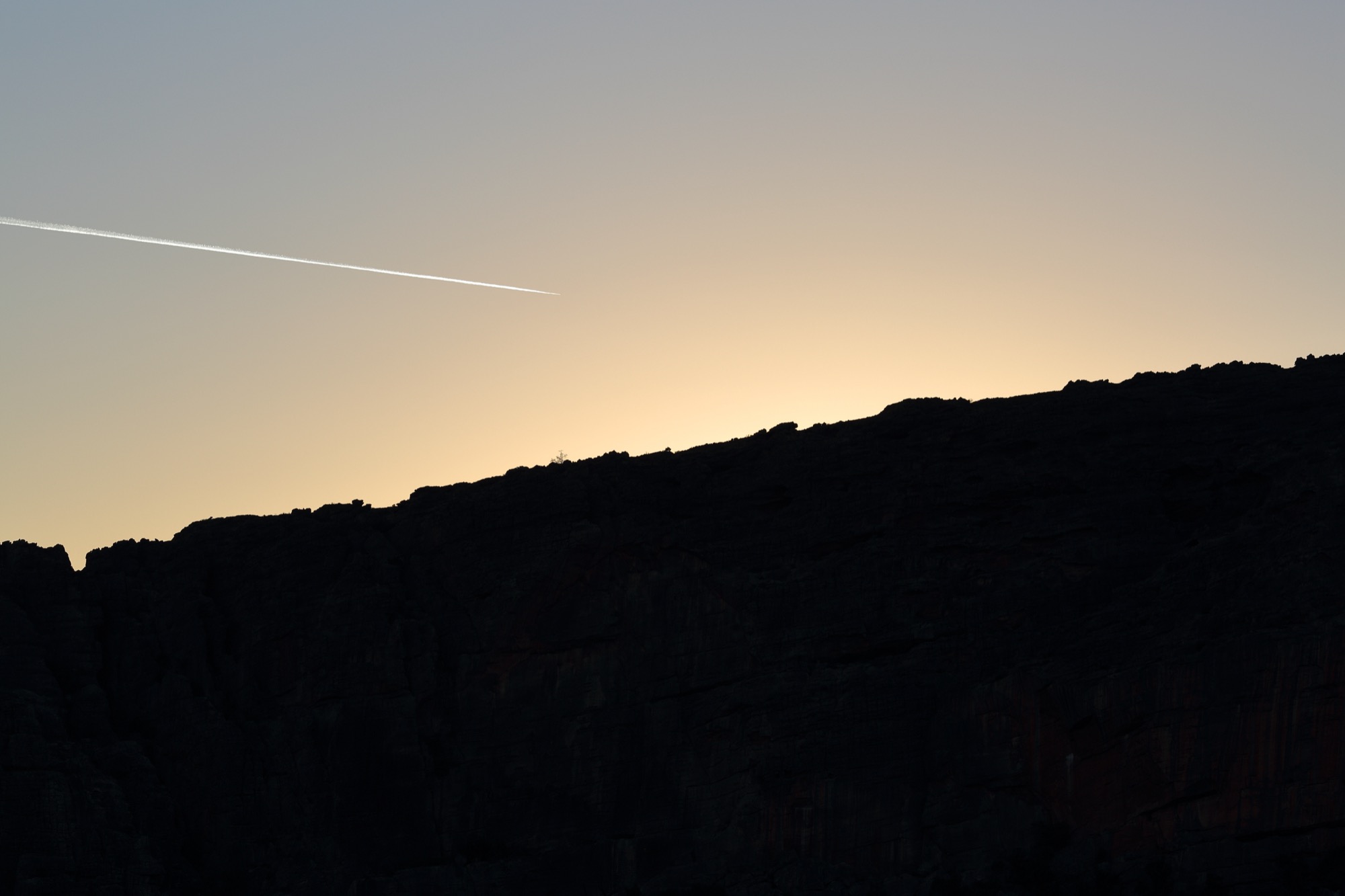
From the Hollow Mountain Carpark at the end of Hollow Mountain Road, the marked route climbs quickly onto rock. The upper section works through wind-scoured caverns and the eponymous hollow in the summit block, with iron-stained sandstone, short chimneys, and open ledges giving views north over the Wimmera and across to Mount Stapylton. Return is by the same line.
Why it is essential
Hollow Mountain concentrates the northern block’s rock character into a short, dramatic scramble — a genuine summit experience in a fraction of the distance of the Stapylton Loop, and the natural half-day fallback if the longer loop is out of scope.
Equipment
- Grippy shoes or boots for rock — trail runners are workable in dry weather
- Sun protection and 1–1.5 L water
- Rain jacket and warm layer
- First-aid kit and headlamp
- Hands-free carry so both hands are available on rock
Hazards and notes
- Steep track, unstable cliffs, uneven ground and slippery rocks — explicitly listed in Parks Victoria’s warnings
- Rock-scrambling on the summit block — not suitable for very young children
- Short but committing — retreat can be as hard as the climb
- Heat on open rock in summer — start early
3. Beehive Falls Walk
Snapshot
Itinerary
From the Beehive Falls Carpark on Roses Gap Road, the track follows Mud Hut Creek through open woodland, with a short scramble over exposed rock near the falls base. The 25 m single-drop waterfall sits sheltered beneath the Briggs Bluff escarpment and is the seasonal centrepiece of the walk. Return is by the same line.
Why it is essential
Beehive Falls is the accessible waterfall walk of the Northern Grampians — short enough to combine with Briggs Bluff or Gulgurn Manja on the same day, and the clearest place in the northern block to see how the range’s rock architecture funnels seasonal creeks into single dramatic drops.
Equipment
- Sturdy walking shoes — rock scramble near the falls base
- Sun protection and water
- Rain jacket and warm layer
Hazards and notes
- Seasonal flow — the falls dry up in summer; check recent rainfall for a full waterfall
- Slippery rock at the falls base
- Snake risk in warm months — stay on the marked track
4. Briggs Bluff Walk
Snapshot
Itinerary
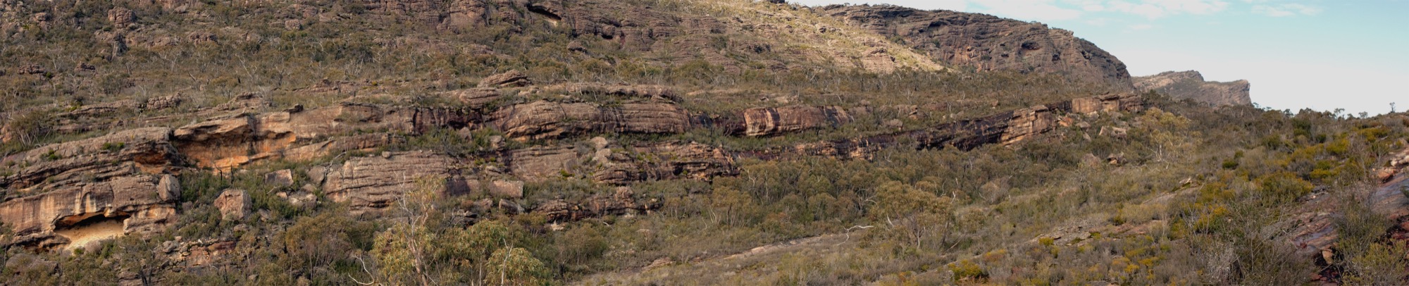
From the Beehive Falls Carpark the track shares the Beehive Falls line, then breaks away to climb through open forest onto the Mount Difficult (Gar) Range. The route continues to the Briggs Bluff cliff-top, giving a long view north and west over the Wimmera and a dramatic drop into the valley below. Some parties continue further along the ridge toward Mount Difficult (Gar) summit itself. Return is by the same line.
Why it is essential
Briggs Bluff is the signature cliff-edge day of the Northern Grampians — the longest and most exposed of the Roses Gap objectives, and the clearest place to feel the scale of the Mount Difficult (Gar) escarpment. It is the northern block’s closest equivalent to the Wonderland Range’s Pinnacle as a full-day walk.
Equipment
- Sturdy boots
- 2.5 L water and food for a long day
- Rain jacket, warm layer and hat
- Map, compass and offline GPS
- Headlamp and first-aid kit
Hazards and notes
- Unfenced cliff edges — Parks Victoria explicitly warns against walking Briggs Bluff on a misty day
- Water crossings and slippery track surfaces in wet weather
- Rock hopping and rock scrambling on the ascent
- Long day — carry proper water and food
- Snake risk in warm months
5. Gulgurn Manja Aboriginal Rock Art Site
Snapshot
Itinerary
A short marked walk leads to the Gulgurn Manja Shelter, a Jardwadjali rock-art site whose name means “hands of young people” — a reference to the small red-ochre handprints painted on the shelter wall alongside emu-track and other motifs. The site is one of the most accessible major rock-art shelters in the northern block, and the walk finishes at a viewing platform designed to protect the art surface.
Why it is essential
Gulgurn Manja anchors the cultural dimension of the Northern Grampians shortlist. The park’s dual English/Jardwadjali/Djab Wurrung naming is not decorative — it reflects a landscape whose meaning is inseparable from Traditional Owner history, and the rock-art shelters at Gulgurn Manja, Ngamadjidj and Manja / Billimina are the clearest places in the park to see that history directly.
Equipment
- Standard walking shoes
- Sun protection and water
- Camera without flash (do not photograph directly onto the art surface)
Hazards and notes
- Registered Aboriginal cultural heritage site — view from the boardwalk / behind barriers; do not touch the rock surface
- Uneven rocky steps on the approach
- Combine with Hollow Mountain for a compact half-day from the same road
Further reading
| Resource | Link |
|---|---|
| Parks Victoria — Grampians (Gariwerd) National Park | parks.vic.gov.au |
| Parks Victoria — Mount Stapylton (Gunigalg) Loop Walk | parks.vic.gov.au |
| Parks Victoria — Hollow Mountain (Wudjub-guyan) Walk | parks.vic.gov.au |
| Parks Victoria — Beehive Falls Walk | parks.vic.gov.au |
| Parks Victoria — Briggs Bluff Walk | parks.vic.gov.au |
| Parks Victoria — Gulgurn Manja Aboriginal Rock Art Site | parks.vic.gov.au |
| Parks Victoria — change of conditions | parks.vic.gov.au |
| Grampians Peaks Trail — day walks | grampianspeakstrail.com.au |
| VicEmergency — fire and closures | emergency.vic.gov.au |
| Wikimedia Commons — Grampians National Park | commons.wikimedia.org |