Regional overview
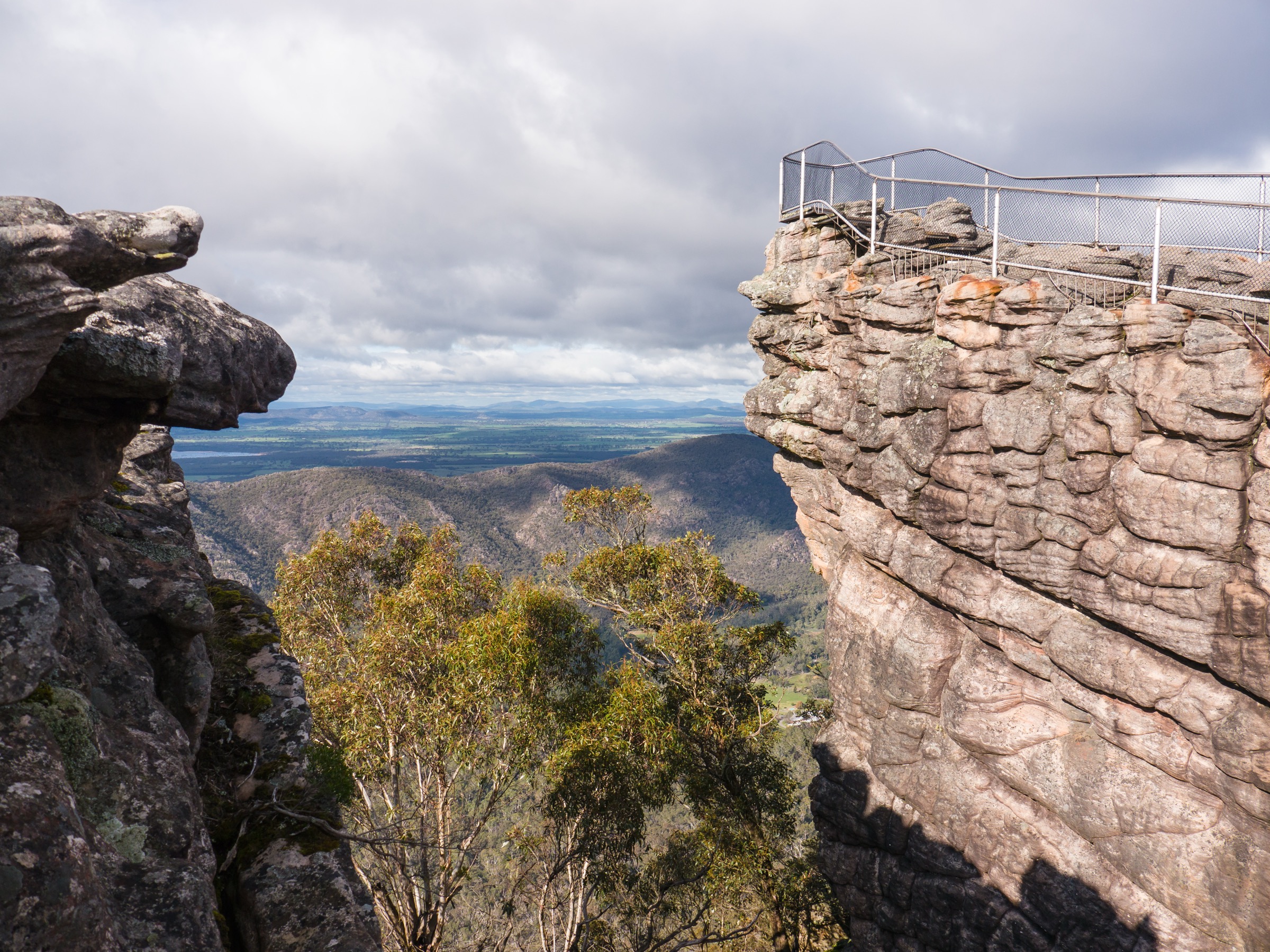
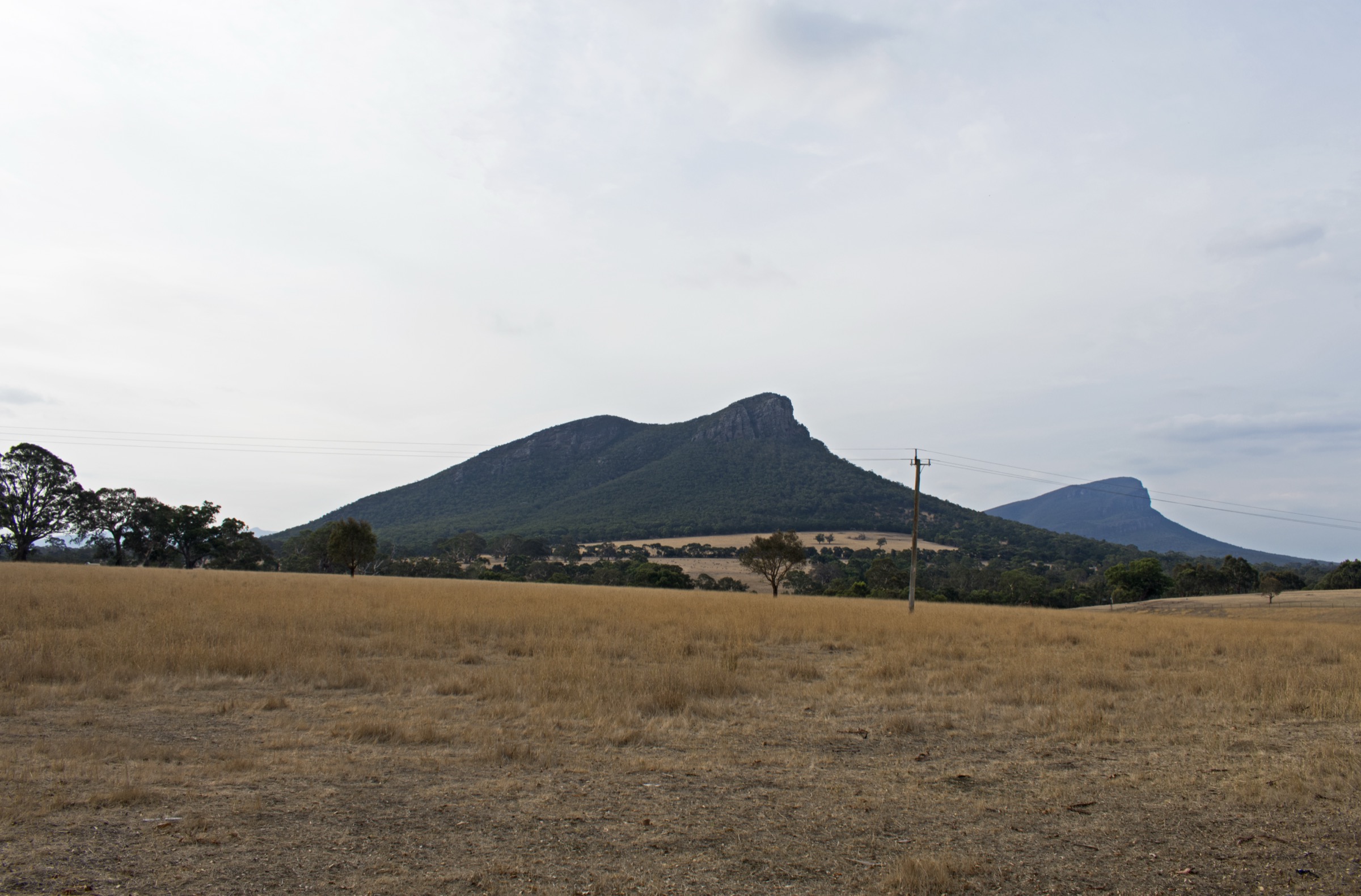
The Southern Grampians is the block that ends the range: the Serra Range’s southern spine, Mount Abrupt (Mud-dadjug) rising above the town of Dunkeld, Mount Sturgeon (Wurgarri) opposite it on the western side of the highway, the low sharp cone of the Piccaninny (Bainggug), and Signal Peak stepping north toward the higher central summits. The country is drier and more open than the central block; the geology is the same folded sandstone that runs the length of the range, but the escarpments here fall directly onto the volcanic plains and give the summits a disproportionate presence for their modest elevations.
Dunkeld is the base for every walk in this shortlist. All five trailheads lie within a short drive of the town, and Mount Sturgeon walks straight from its northern edge. The V/Line coach service on Route 1732 (Mount Gambier–Melbourne via Hamilton and Ballarat, operated by Trotters Coaches) stops in Dunkeld, making the block unusually accessible for a Grampians sub-region — Mount Sturgeon is one of the few Grampians summit days where public transport reaches the trailhead in walking distance.
Djab Wurrung and Jardwadjali names apply throughout: Gariwerd for the range, Mud-dadjug (“blunt, useless arm”) for Mount Abrupt, Wurgarri for Mount Sturgeon, and Bainggug for the Piccaninny. Parks Victoria uses the paired names in its site headings; Signal Peak has no widely-used Aboriginal name in current Parks Victoria signage.
Currency notes (July 2026): the 2024–25 fire season burned more than 135,000 hectares in Gariwerd, and post-fire recovery closures have continued into 2026. Some Grampians Peaks Trail sections and side tracks have had rolling closures — always check the Parks Victoria change-of-conditions page and current VicEmergency information before travel. Total Fire Ban days close the park to walking.
Selection rationale
Five routes are presented to cover the block from short warm-ups to a full ridge traverse. Mount Abrupt (Mud-dadjug) is the iconic southern summit day from Dunkeld. Mount Sturgeon (Wurgarri) is the town-based counterpart, walkable from Dunkeld itself. Piccaninny (Bainggug) is the sharp, short-day option. Signal Peak from Cassidys Gap is the second summit day, using a distinct trailhead to avoid duplicating the Mount Abrupt approach. The final Grampians Peaks Trail Section S4 from Mud-dadjug to Dunkeld packages every other summit in the shortlist into a single 14.8 km point-to-point traverse — the definitive southern-Grampians day for fit walkers with shuttle logistics. Together they cover an iconic summit, a town-based summit, a short warm-up, a second summit from a different trailhead, and a full ridge traverse.
Summary
| # | Hike | Trailhead | Route type | Distance | Gain | Max elevation | Difficulty |
|---|---|---|---|---|---|---|---|
| 1 | Mount Abrupt (Mud-dadjug) | Mount Abrupt Carpark, Grampians Rd | Out-and-back | 6.5 km | Unresolved | 827 m | Grade 4 |
| 2 | Mount Sturgeon (Wurgarri) | Mount Sturgeon Carpark, Dunkeld | Out-and-back | 6.5–7 km | Unresolved | 550 m | Grade 4 |
| 3 | Piccaninny (Bainggug) | Bainggug Carpark, Grampians Rd | Out-and-back | 2.4 km | Unresolved | Unresolved | Grade 3 |
| 4 | Signal Peak from Cassidys Gap | Cassidys Gap Rd | Out-and-back | 5 km | Unresolved | ~780 m | Grade 4 |
| 5 | Grampians Peaks Trail S4 — Mud-dadjug to Dunkeld | Mud-Dadjug trailhead → Dunkeld | Point-to-point | 14.8 km | ~470 m | 827 m | Grade 4–5 |
1. Mount Abrupt (Mud-dadjug)
Snapshot
Itinerary
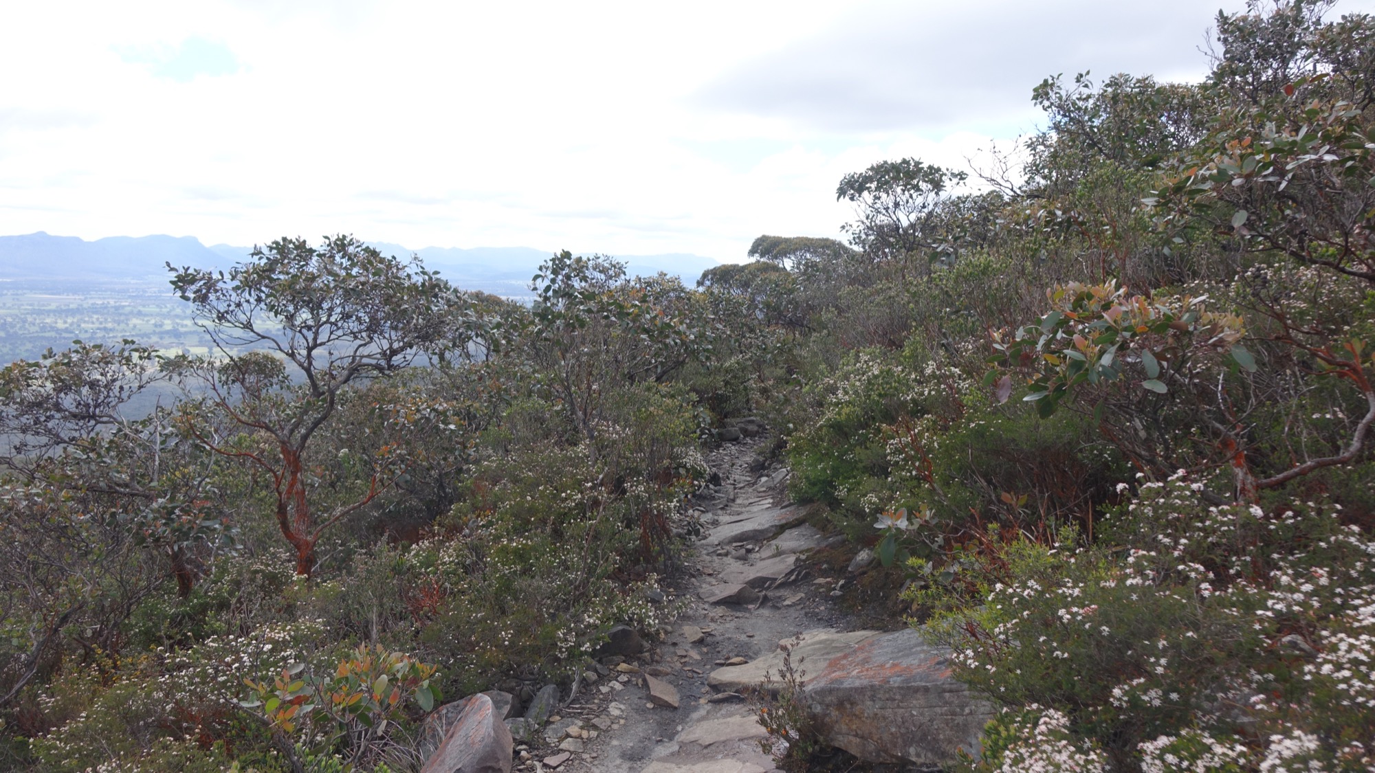
From the Mount Abrupt Carpark the track climbs through open forest onto the southern ridge of the Serra Range, then works up onto exposed rocky terraces on the final approach to the summit. From the summit at 827 m the view runs west over Victoria Valley, north along the Serra Range spine toward the higher central summits, and south over the volcanic plains toward Warrnambool. Return is by the same line.
Why it is essential
Mount Abrupt (Mud-dadjug) is the iconic southern summit of Gariwerd — the peak that defines Dunkeld’s skyline and the southern block’s signature day. It is the natural counterpart to the Pinnacle in the central block, and the summit view over the volcanic plains is unlike anything the higher central block offers.
Equipment
- Sturdy boots with good grip on rock
- Sun protection, hat and 2.5–3 L water
- Rain jacket and warm layer
- First-aid kit and headlamp
- Trekking poles help on the steep upper sections
Hazards and notes
- Exposed rocky ridge on the upper section — high wind possible on the summit dome
- Loose scree near the summit
- No water on route — carry enough
- Total Fire Ban days close the park — check VicEmergency
- Post-fire recovery closures — check the change-of-conditions page
2. Mount Sturgeon (Wurgarri)
Snapshot
Itinerary
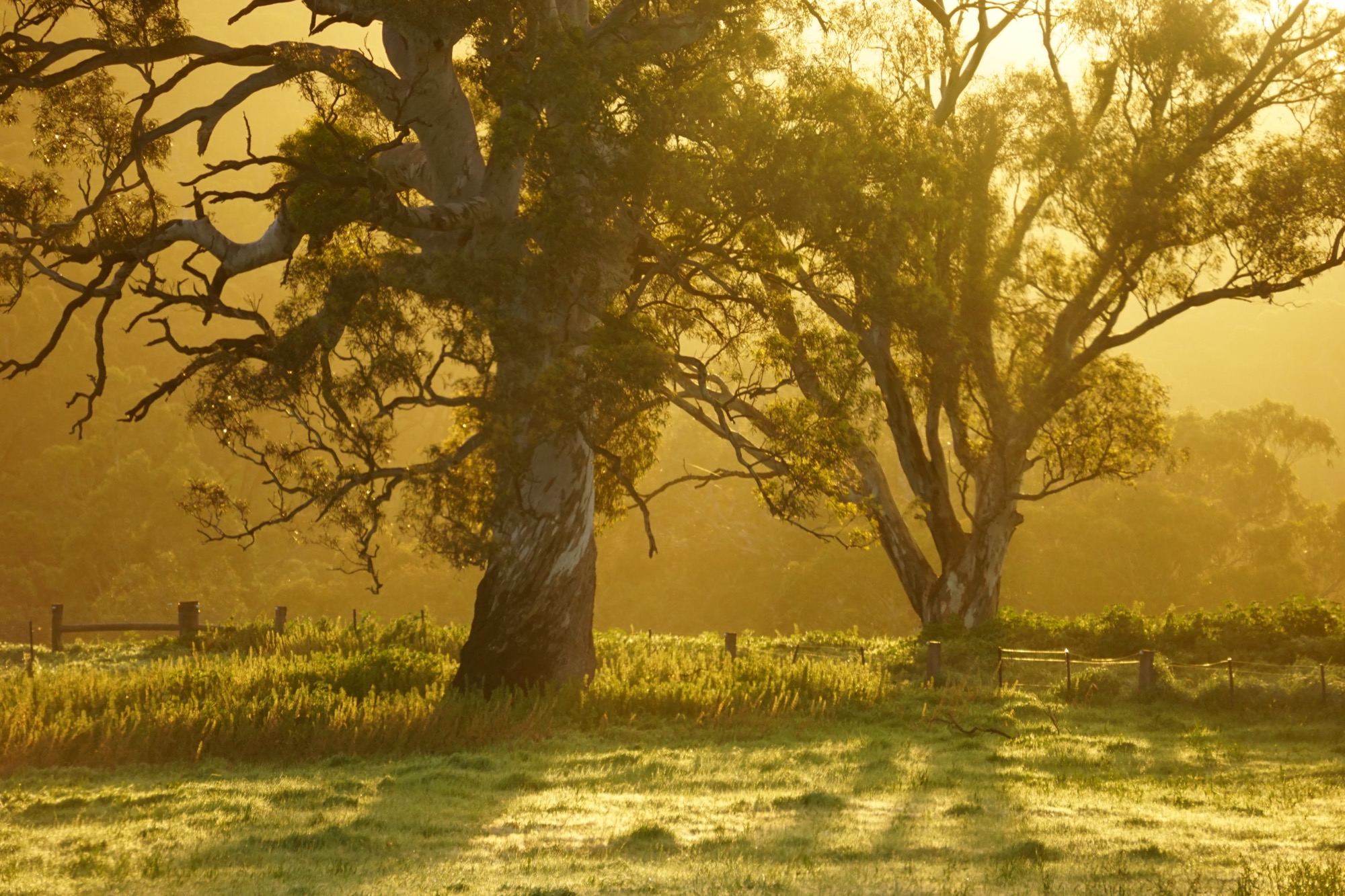
The track leaves the Mount Sturgeon Carpark at the northern edge of Dunkeld, walkable straight from the town centre. It climbs through open woodland onto a rocky sub-summit ridge, with sweeping views back over the volcanic plains and across to Mud-dadjug on the opposite side of the highway. Return is by the same line.
Why it is essential
Mount Sturgeon (Wurgarri) is the town-based Grampians summit — one of the few days in the range where no vehicle transfer is needed. The exposed ridge and rock summit give it more character than a foothill walk, and the view over the plains and across to Mud-dadjug is the classic Dunkeld skyline seen from above.
Equipment
- Sturdy boots with good grip on rock
- Sun protection, hat and 2 L water
- Rain jacket and warm layer
- First-aid kit and headlamp
Hazards and notes
- Loose rock on upper ridge — some scrambling
- Exposed to wind and sun — no dependable shelter on the ridge
- Steep sections near summit
- Total Fire Ban days close the park
3. Piccaninny (Bainggug)
Snapshot
Itinerary
A short marked track from the Bainggug Carpark climbs steeply through open woodland to the low but distinctly conical summit outcrop of the Piccaninny (Bainggug). The summit rock gives disproportionately good views over the Dunkeld end of the range for the effort involved. Return is by the same line.
Why it is essential
Bainggug is the arrival-day warm-up of the southern block — short enough to fit into a half-day, sharp enough to feel like a real summit, and a natural pair with a rest morning after the drive from Melbourne. It is also part of the Grampians Peaks Trail Section S4 traverse (below), so walking it as a short day is a fair preview of the full ridge line.
Equipment
- Standard walking shoes or boots
- Sun protection and 1 L water
- Rain jacket and warm layer
Hazards and notes
- Rocky summit outcrop with drop-offs — take care at the top
- Short steep sections on the approach
- Snake risk in warm months
- Total Fire Ban days close the park
4. Signal Peak from Cassidys Gap
Snapshot
Itinerary
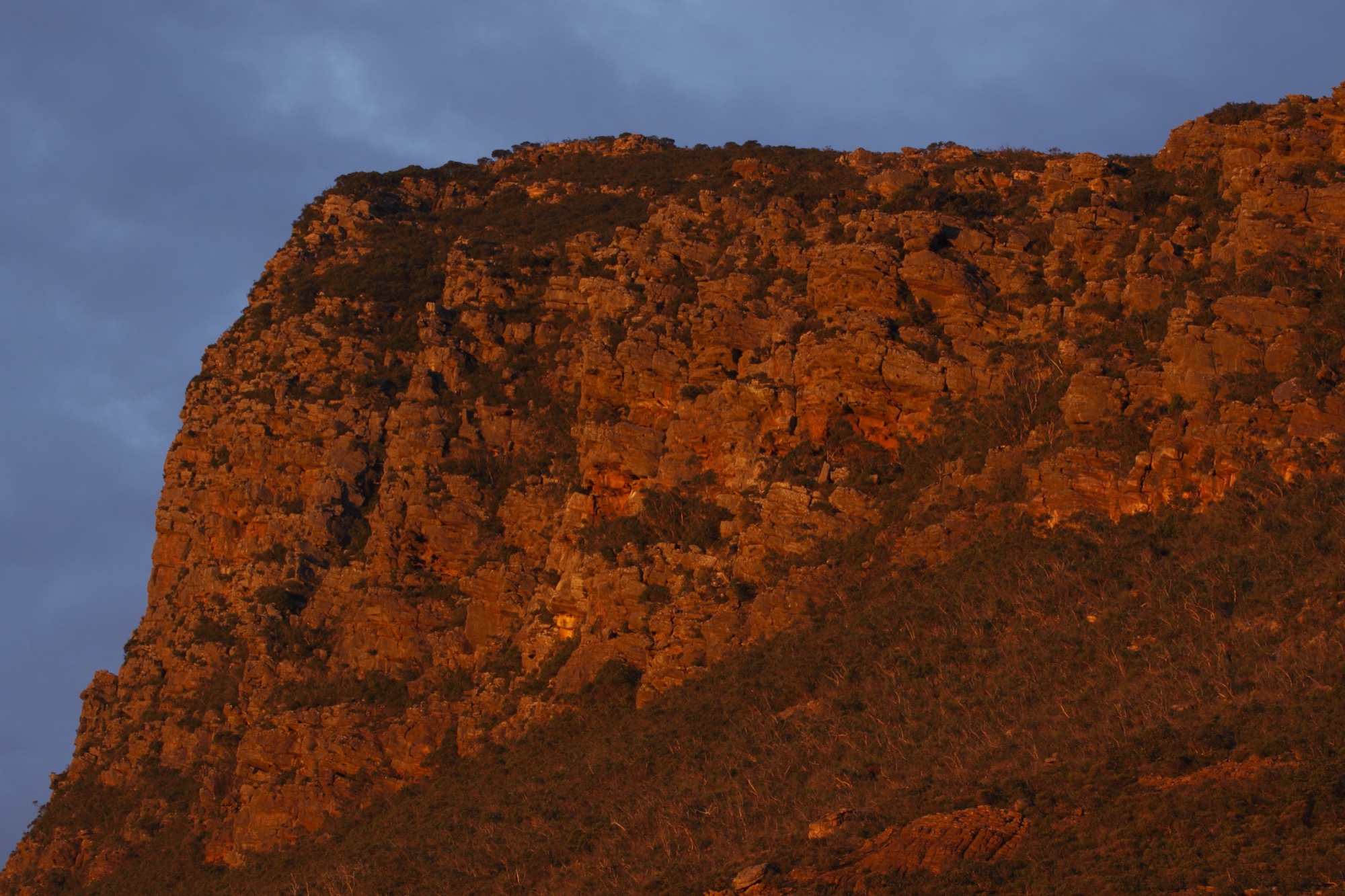
From the Cassidys Gap Road trailhead the track climbs steeply and directly up the western flank of the Serra Range spine to the Signal Peak summit at roughly 780 m, with views along the ridge toward Mud-dadjug to the south and the higher central summits to the north. Return is by the same line.
A longer Signal Peak Loop from Mount Abrupt Carpark — 7.5 km, Grade 4 — combines a section of the Grampians Peaks Trail with the Signal Peak summit; parties already parked at Mount Abrupt or looking for a bigger day may prefer that variant. The Cassidys Gap approach is included here as a shorter, distinct-trailhead alternative that avoids duplicating the Mount Abrupt day.
Why it is essential
Signal Peak is the second summit day of the southern block — a different trailhead, a different aspect, and a distinct ridge experience from the Mount Abrupt walk. It is the natural way to spend a second walking day at Dunkeld without repeating a route.
Equipment
- Sturdy boots with good grip on rock
- Sun protection and 2 L water
- Rain jacket and warm layer
- First-aid kit and headlamp
Hazards and notes
- Steep rocky ascent — slow travel for the distance
- Exposed summit ridge — wind can be severe
- Scree sections on the upper track
- Total Fire Ban days close the park
5. Grampians Peaks Trail S4 — Mud-dadjug to Dunkeld
Snapshot
Itinerary
Section S4 of the Grampians Peaks Trail is the range’s final ridge day: a point-to-point traverse across the four Dunkeld-end summits — Signal Peak, Mud-dadjug (Mount Abrupt), Bainggug (Piccaninny) and Wurgarri (Mount Sturgeon) — finishing on foot into Dunkeld itself. From the northern trailhead the route climbs onto the Serra spine and holds high ground across each successive summit, dropping only briefly between them, with the final descent leading straight into the town’s northern edge.
A car shuffle is required, with the return shuttle at the northern end. Local Dunkeld hiker transport is available — check current listings on the Grampians Peaks Trail site.
Why it is essential
This is the definitive southern-Grampians day for a fit walker with logistics support — it packages every other summit in this shortlist into one continuous 14.8 km ridge line, finishing in the town where every trip starts. No other single day in the block gives the range’s southern end at the same scale.
Equipment
- Sturdy boots with good grip on rock
- 3 L water and food for a long day — no reliable water on the ridge
- Rain jacket, warm layer and hat
- Map, compass and offline GPS
- Headlamp and first-aid kit
- Emergency shelter or Personal Locator Beacon for backup
- Trekking poles
Hazards and notes
- Cumulative exposure — the ridge is open to wind and sun for most of the day
- Scree on the summit sections
- No on-route water — carry enough for the full day
- Hot-day fire-ban closures — plan against the forecast
- Shuttle logistics — confirm the pickup end before starting; a failed shuttle turns the day into a very long return
Further reading
| Resource | Link |
|---|---|
| Parks Victoria — Grampians (Gariwerd) National Park | parks.vic.gov.au |
| Parks Victoria — Mount Abrupt walk | parks.vic.gov.au |
| Parks Victoria — Mount Sturgeon walk | parks.vic.gov.au |
| Parks Victoria — Piccaninny (Bainggug) walk | parks.vic.gov.au |
| Parks Victoria — Grampians Peaks Trail day walks | parks.vic.gov.au |
| Parks Victoria — change of conditions | parks.vic.gov.au |
| Grampians Peaks Trail — official site | grampianspeakstrail.com.au |
| V/Line Route 1732 — Melbourne to Mount Gambier via Dunkeld | vline.com.au |
| VicEmergency — fire and closures | emergency.vic.gov.au |
| Wikimedia Commons — Grampians National Park | commons.wikimedia.org |