Regional overview
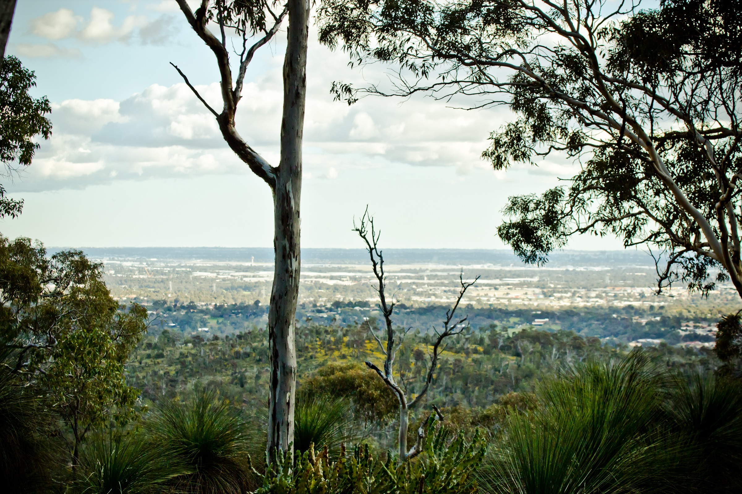
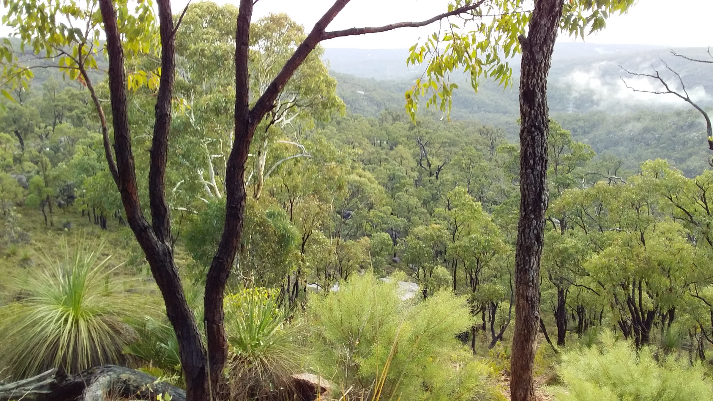
Serpentine National Park and the adjoining township of Jarrahdale sit on the western scarp of the Darling Range, roughly 55 km south-east of central Perth in the Shire of Serpentine-Jarrahdale. The park protects 44 km² of jarrah–marri forest between the Swan Coastal Plain and the granite uplands above, and takes its name from the Serpentine River, which drops from the scarp in a well-known cascade at Serpentine Falls before running west through farmland to the Peel Inlet. Jarrahdale, 8 km east across the scarp, is Western Australia’s oldest inland timber town — established in 1872 around a jarrah sawmill and an 1872 timber tramway that ran to Rockingham jetty — and today serves as the eastern trailhead for most of the walks in this entry.
The Traditional Owners of this section of the scarp are the Whadjuk Noongar of the coastal plain and the Pinjareb (Binjareb / Pindjarup) Noongar of the country immediately south around the Serpentine and Murray Rivers; both groups’ cultural connection to the falls, river and forest is acknowledged by DBCA at Serpentine National Park and the Shire of Serpentine-Jarrahdale on the Jarrahdale side. Walkers are asked to keep to marked tracks and to treat the falls pool and river as culturally significant sites.
The walking network is compact but stacked: from the Serpentine Falls car park a short Class 1 boardwalk reaches the falls themselves, Baldwins Bluff Trail climbs the ridge immediately south of the car park, and Kitty’s Gorge Walk Trail runs 14 km through the gorge system to a second trailhead opposite the Jarrahdale cemetery. From the Jarrahdale end, Stacey’s Loop provides a short circuit into the same forest, and the 1872 Heritage Railway Trail follows the alignment of the original timber tramway north-west from town. The Munda Biddi off-road cycle trail passes through Jarrahdale on the same corridor and shares sections of tread with several of these walks.
The dominant hazard is summer heat and fire. The Darling Range regularly runs 38–42 °C in January and February with high fire-danger ratings; DBCA can and does close Serpentine National Park on Total Fire Ban days. Waterfall flow and gorge character are best May to October. Note also that Kitty’s Gorge Walk Trail is closed from Sunday 4 January 2026 to Thursday 2 April 2026 for plantation timber harvesting on the adjacent Forest Products Commission lease; walkers planning that route inside the closure window should substitute Stacey’s Loop or the Baldwins Bluff Trail from the Serpentine end.
Selection rationale
The five walks are selected to give the fullest possible day-walking picture of the Serpentine / Jarrahdale corner of the Darling Range within a compact geography. Serpentine Falls Walk is the mandatory short walk of the region and the single most-visited feature. Kitty’s Gorge Walk Trail is the flagship point-to-point that links the two trailheads and delivers the full gorge experience. Baldwins Bluff is the natural short-strenuous alternative from the same Serpentine Falls car park and adds an elevated viewpoint that the falls walk lacks. Stacey’s Loop is the standard Jarrahdale-end short walk into the same forest for parties who cannot commit to the full Kitty’s Gorge day. The 1872 Heritage Railway Trail is added as the region’s principal heritage walk and the natural pairing with a Munda Biddi day for parties overnighting in Jarrahdale.
Summary table
| # | Hike | Country | Route type | Distance | Gain | Max elevation | Difficulty |
|---|---|---|---|---|---|---|---|
| 1 | Serpentine Falls Walk | Australia | Out-and-back | ~1 km | ~10 m | ~55 m | Class 1 (DBCA) |
| 2 | Kitty’s Gorge Walk Trail | Australia | Point-to-point (or out-and-back) | ~14 km | ~300 m | ~230 m | Class 4 (DBCA) |
| 3 | Baldwins Bluff Trail | Australia | Loop / lollipop | ~6 km | ~200 m | ~228 m | Class 4 (DBCA) |
| 4 | Stacey’s Loop | Australia | Loop | ~1.9 km | ~40 m | ~200 m | Class 2 (DBCA) |
| 5 | 1872 Heritage Railway Trail | Australia | Out-and-back | ~10 km | ~120 m | ~230 m | Class 3 (DBCA) |
1. Serpentine Falls Walk
Snapshot
Itinerary
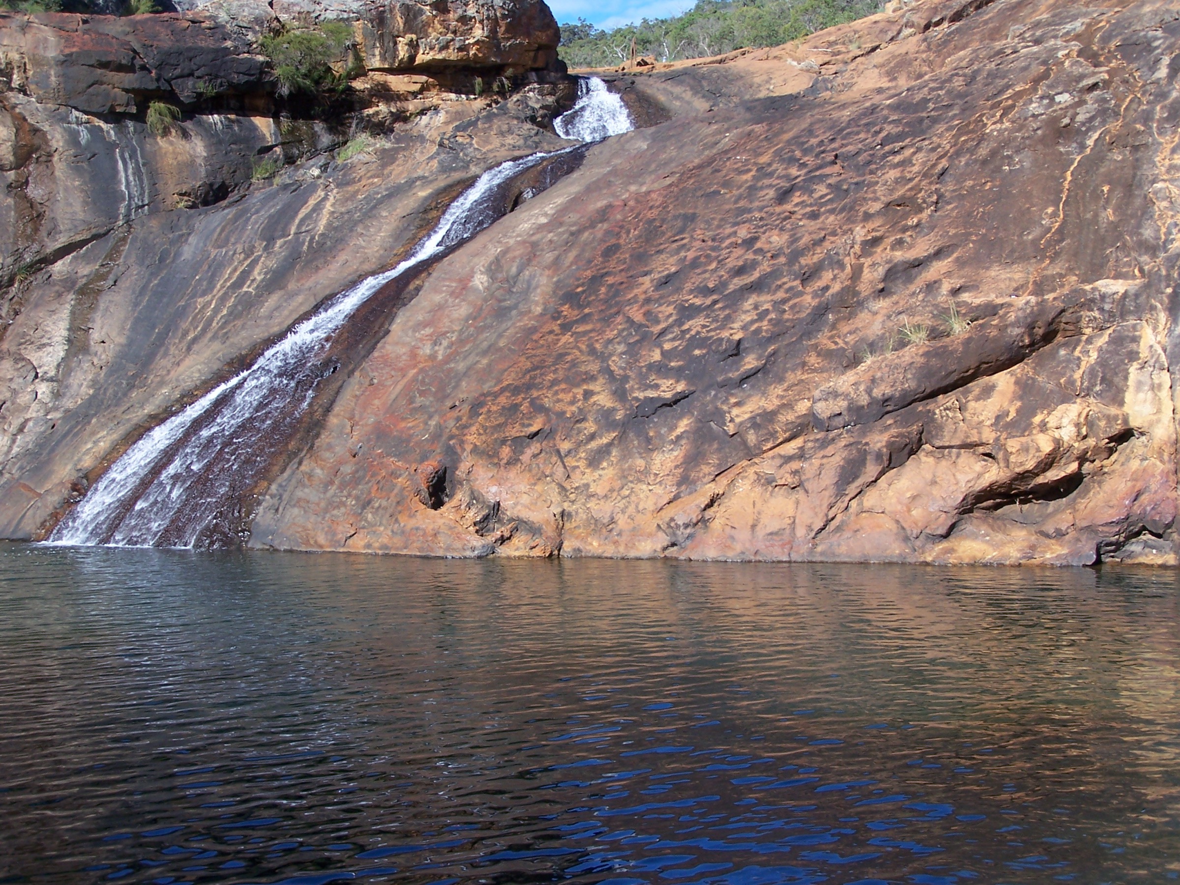
The walk leaves the main Serpentine Falls picnic area at the end of Falls Road and follows a formed path and a short timber boardwalk 500 m upstream along the north bank of the Serpentine River to a viewing area directly opposite the falls. The waterfall itself drops in a single stepped cascade off a granite face at the base of the scarp into a broad rock-lined pool that has historically been used for swimming and picnicking; DBCA maintains the pool as a day-use area separate from the walking track. Return is on the same line back to the car park. The path is flat, hardened and suitable for prams and unassisted wheelchair users.
Why it is essential
Serpentine Falls is the single most-visited feature of the Darling Range south of Perth and the compulsory short walk of Serpentine National Park. It is the introduction most walkers get to the park and the natural first stop before starting on any of the longer routes from the same car park.
Equipment
- Walking shoes
- Sun protection
- 500 mL–1 L water
- Cash or card for the DBCA park entry fee
- No drones over the falls or pool
Hazards and notes
- The falls pool is a shared day-use area with families, swimmers and picnickers; walking traffic is directed to the viewing platform, not the rock face.
- Serpentine National Park operates timed entry (typically 8.30 am to 5.00 pm) with a per-vehicle fee at the entry gate.
- Fully exposed in the picnic area itself; carry sun protection even for the short walk.
- Snake activity through the warmer months on the rock benches.
- DBCA may close the park on Total Fire Ban days — confirm before travel.
GPX / route file
| Source | URL | Format | Notes |
|---|---|---|---|
| DBCA Explore Parks WA — Serpentine National Park | exploreparks.dbca.wa.gov.au | Web page | Official route source; no direct GPX download published |
| Trails WA — Serpentine Falls Walk Trail | trailswa.com.au | Web page | Distance, class and time cross-check |
Sources
- DBCA Explore Parks WA — Serpentine National Park
- DBCA Explore Parks WA — Serpentine Falls Main Picnic Area
- Trails WA — Serpentine Falls Walk Trail
- Wikimedia Commons — Serpentine Falls
2. Kitty’s Gorge Walk Trail
Snapshot
Itinerary
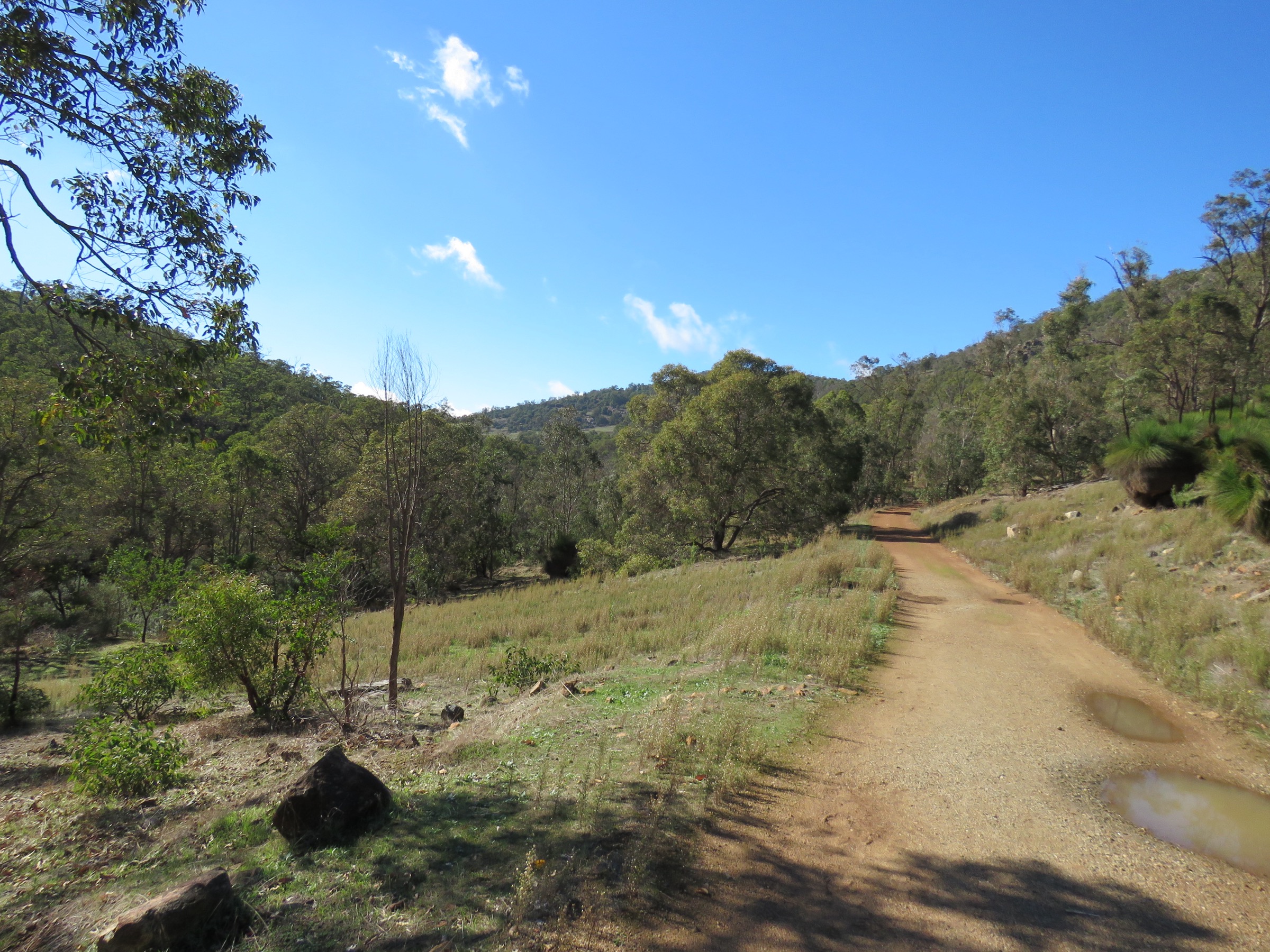
The northern trailhead sits opposite the Jarrahdale cemetery on Atkins Street, where a large DBCA information shelter marks the start of Stacey’s Track. From the shelter the route drops through jarrah forest to Gooralong Brook, crosses a series of timber footbridges through the marshy flats around the confluence with the Serpentine River, then follows the river south-west along a granite-bedded section that gives the walk its name — a magical corridor of moss-covered outcrops, small rapids and butterfly-rich riverbank. Several sections cross private land on the park boundary and walkers are asked to keep strictly to the marked line.
The lower half of the route works down the Serpentine River corridor through progressively rockier country to the top of the falls, then descends a steep stepped section that requires sure-footedness to reach the Serpentine Falls picnic area. Parties walking the full return should turn around at the falls; parties running a car shuffle from the Jarrahdale end can end here and pay the DBCA vehicle-entry fee at the Serpentine gate.
Why it is essential
Kitty’s Gorge is the flagship walk of the Darling Range south of Perth and the only route that ties the region’s two headline features — the Serpentine Falls and the historic Jarrahdale township — into a single day. The gorge corridor itself, with its rock pools, jarrah forest and running brook, is the standard “why walk the Darling scarp” experience.
Equipment
- Sturdy boots (rocky and stepped sections)
- 2.5–3 L of water minimum (no reliable treated water on route)
- Broad-brimmed hat and sun protection
- Wet-weather layer May–September
- Map, GPS and compass
- First-aid kit including snake-bite bandage
- Snacks / trail food for a 5–7 hour day
- No drones
Hazards and notes
- Kitty’s Gorge Walk Trail is closed Sunday 4 January 2026 to Thursday 2 April 2026 for plantation timber harvesting on the adjacent Forest Products Commission lease; check DBCA alerts before travel and expect forestry vehicles in the area either side of the closure.
- The steep stepped descent near Serpentine Falls is the crux — slippery when wet, and injuries here are the most common on the route.
- Sections of the trail cross private land on the park boundary; stay on the marked tread.
- Snake activity through spring, summer and autumn.
- Very limited cell coverage in the gorge.
- Cool-season rain can make the brook crossings slippery.
GPX / route file
| Source | URL | Format | Notes |
|---|---|---|---|
| DBCA Explore Parks WA — Serpentine National Park | exploreparks.dbca.wa.gov.au | Web page | Official route source; no direct GPX download published |
| Trails WA — Kitty’s Gorge, Serpentine NP, Jarrahdale | trailswa.com.au | Web page | Distance, class and closure notes |
| Trail Hiking Australia — Kitty’s Gorge Hike (16 km) | trailhiking.com.au | Web page | Alternate distance and grade reference |
Sources
- DBCA Explore Parks WA — Serpentine National Park
- Trails WA — Kitty’s Gorge, Serpentine NP, Jarrahdale
- Trail Hiking Australia — Kitty’s Gorge Hike
- Tourism Western Australia — Kitty’s Gorge Walk Trail
- Wikimedia Commons — Kitty’s Gorge Walk Trail, Serpentine National Park
3. Baldwins Bluff Trail
Snapshot
Itinerary
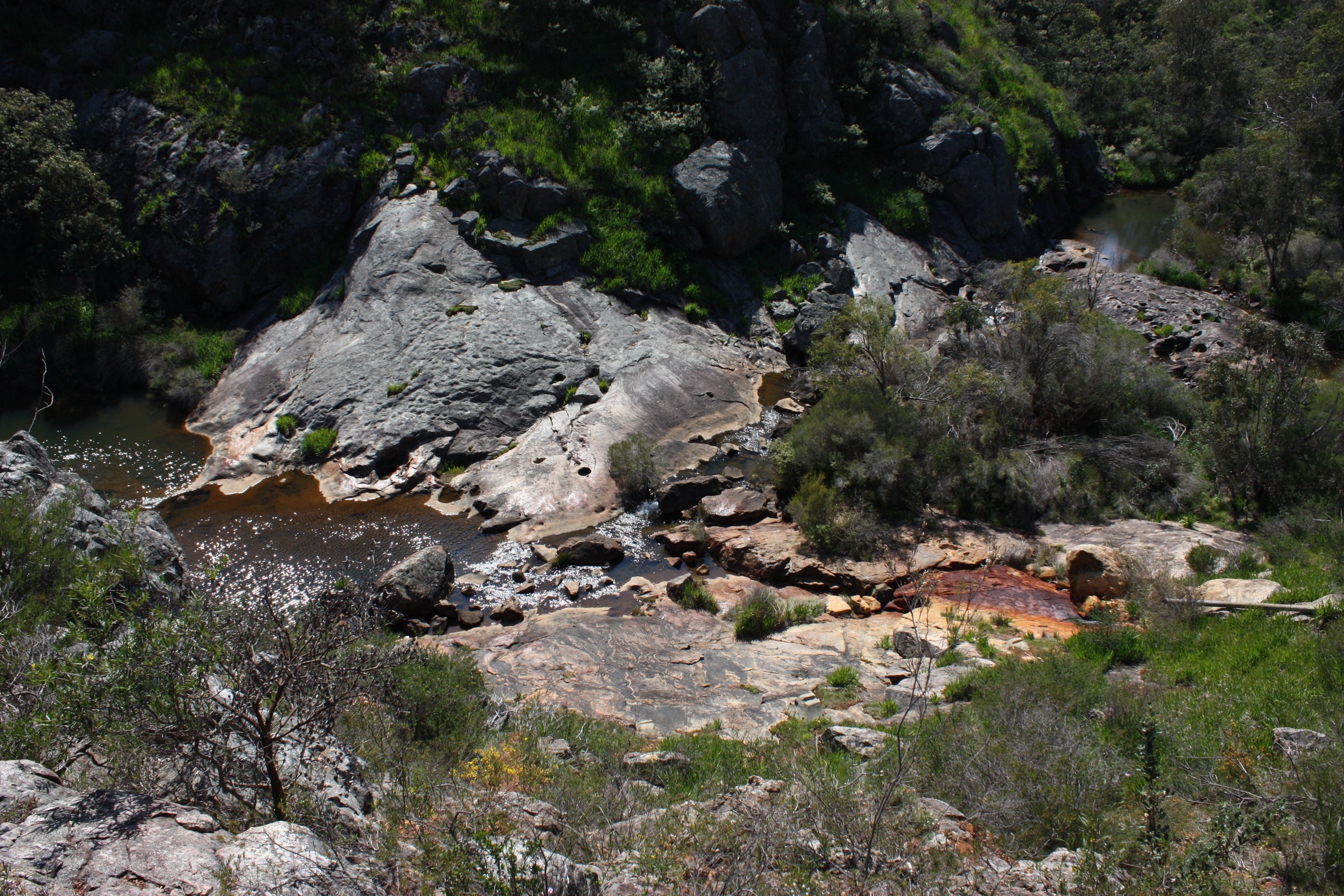
Baldwins Bluff Trail begins on the south side of the Serpentine Falls car park next to the toilet block and climbs steadily on gravel management tracks through jarrah and marri woodland, gaining most of its elevation in the first two kilometres. The tread narrows onto a rockier bush track for the final approach to the exposed granite summit of the bluff, which gives an open panorama across the Swan Coastal Plain to the Indian Ocean, the Serpentine River valley below and the falls picnic area directly under the ridge. The descent follows a separate line back through the forest to close the loop at the car park.
Why it is essential
Baldwins Bluff is the natural short-strenuous complement to the Serpentine Falls walk from the same trailhead and the only route in the immediate area that gives an elevated ridge-top view of the falls, the river valley and the coastal plain in a single half-day. It is the standard “second walk of the day” for parties driving in for Serpentine Falls.
Equipment
- Sturdy walking shoes or light boots
- 2 L of water minimum (no water on route)
- Broad-brimmed hat and sun protection
- Warm layer at the summit in winter
- Map and GPS
- First-aid kit including snake-bite bandage
- No drones
Hazards and notes
- Steady, sustained climb; no scrambling but the granite summit is exposed.
- Loose gravel on the descent — trekking poles help.
- Fully exposed on the summit; no shade.
- Snake activity through spring, summer and autumn.
- Serpentine National Park gate hours and entry fees apply (typically 8.30 am to 5.00 pm).
- DBCA can close the park on Total Fire Ban days.
GPX / route file
| Source | URL | Format | Notes |
|---|---|---|---|
| Trails WA — Baldwins Bluff Trail, Serpentine NP | trailswa.com.au | Web page | Official route source; no direct GPX download published |
| Trail Hiking Australia — Baldwins Bluff Trail (6 km) | trailhiking.com.au | Web page | Distance and grade cross-check |
Sources
- Trails WA — Baldwins Bluff Trail, Serpentine NP
- Trail Hiking Australia — Baldwins Bluff Trail
- Shire of Serpentine-Jarrahdale — Baldwins Bluff Trail
- Wikimedia Commons — Serpentine River above falls
4. Stacey’s Loop
Snapshot
Itinerary
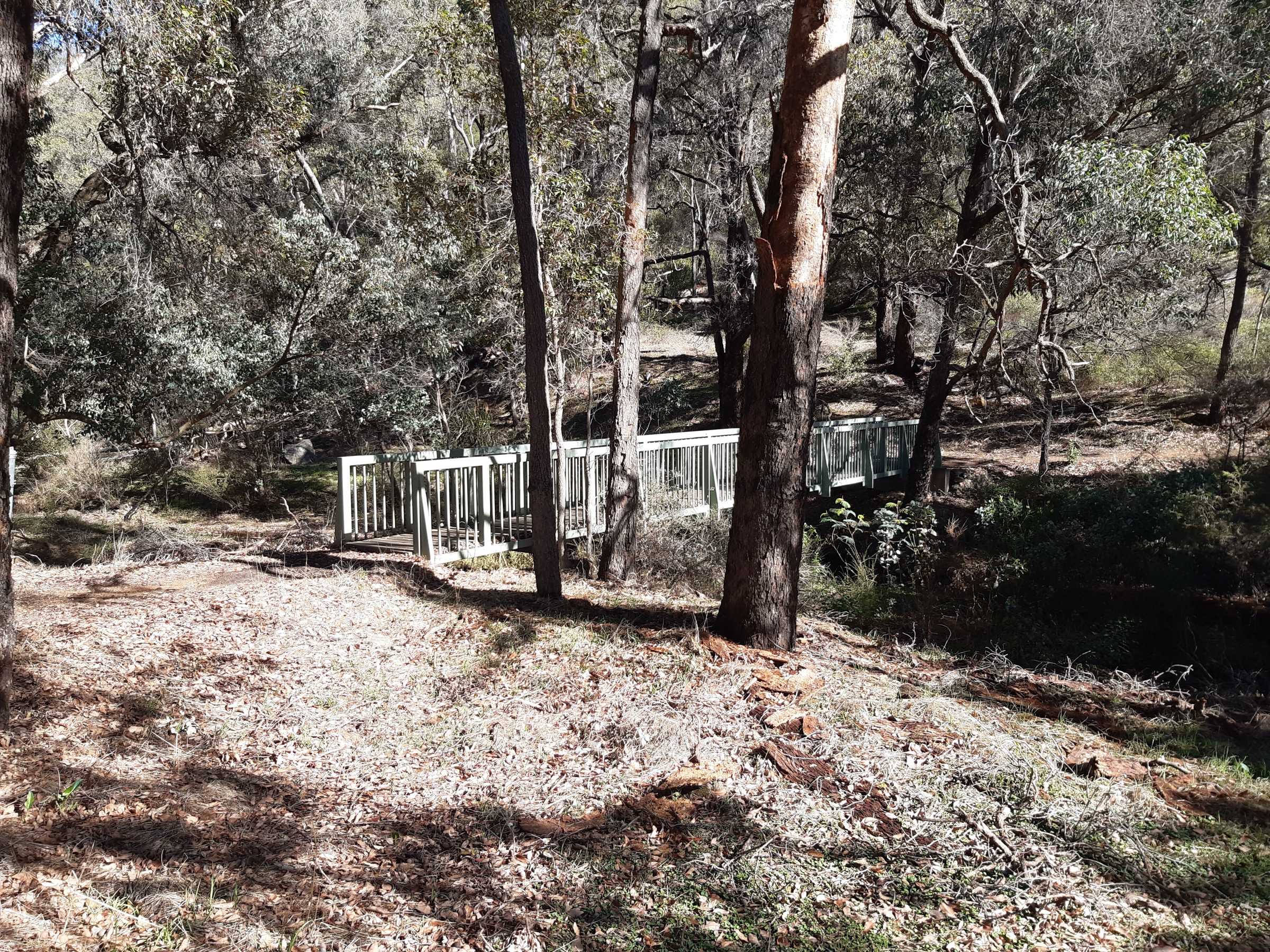
Stacey’s Loop shares its trailhead with the Jarrahdale end of Kitty’s Gorge Walk Trail, leaving the DBCA information shelter opposite the cemetery and descending on a well-formed dirt track to Gooralong Brook. The route crosses a first timber footbridge onto a short boardwalk that skirts a marshy area, crosses a second bridge back over the brook, and climbs gradually through jarrah forest to close the loop at the shelter. Kangaroos, echidnas and a good bird list are commonly seen on the loop, and in late winter and spring the brook runs and the trail edges fill with wildflowers.
Why it is essential
Stacey’s Loop is the standard short walk of the Jarrahdale end of Serpentine National Park and the natural family and beginner alternative to the full 14 km Kitty’s Gorge day. It also serves as the sample first section of the Kitty’s Gorge trail for parties assessing conditions before committing to the longer route, and remains open during the January–April 2026 Kitty’s Gorge closure window.
Equipment
- Walking shoes
- Sun protection
- 1 L water
- Insect repellent in warmer months
- No drones
Hazards and notes
- Boardwalk and bridges can be slippery when wet.
- Snake activity through the warmer months.
- Some loose gravel underfoot on the return climb.
- Limited cell coverage in the gully.
- The car park is a shared trailhead with Kitty’s Gorge walkers — arrive early on weekends.
GPX / route file
| Source | URL | Format | Notes |
|---|---|---|---|
| Trails WA — Stacey’s Loop, Jarrahdale | trailswa.com.au | Web page | Official route source; no direct GPX download published |
| Experience Perth Hills — Stacey’s Loop Walk Trail | experienceperthhills.com.au | Web page | Distance, time and route description |
Sources
- Trails WA — Stacey’s Loop, Jarrahdale
- Experience Perth Hills — Stacey’s Loop Walk Trail
- Jarrahdale Heritage Society — Stacey’s Track
- Wikimedia Commons — Footbridge over the Serpentine River near Gooralong Brook
5. 1872 Heritage Railway Trail
Snapshot
Itinerary
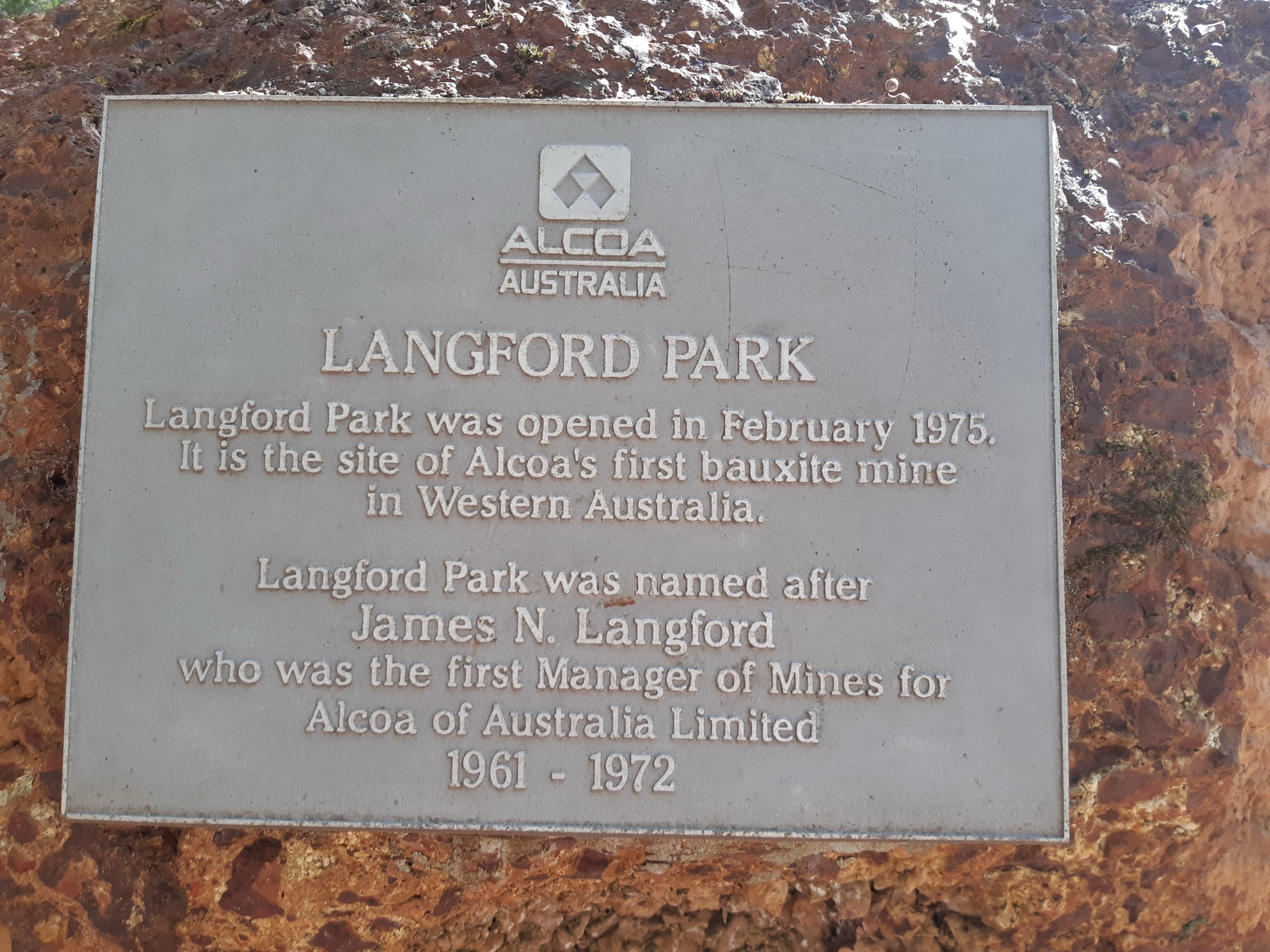
The 1872 Heritage Railway Trail commemorates the original timber tramway that ran from Jarrahdale’s sawmill to the jetty at Rockingham — Western Australia’s first substantial timber-industry railway. The signposted start is the Information Bay at the corner of Nettleton and Jarrahdale Roads, with parking, interpretive panels and a trail map. The route heads north-west out of town along the tramway alignment, follows old railway sleepers and cuttings through jarrah forest, passes historic trail markers and a series of viewpoints and picnic spots, and reaches a turnaround at the end of the maintained corridor before returning on the same line. A signposted 4 km loop variant is available from the same trailhead for parties short on time, and the trail shares tread with the Munda Biddi cycling route in places.
Why it is essential
The 1872 Heritage Railway Trail is the region’s principal heritage walk, ties directly into the Jarrahdale township that anchors the eastern end of the Kitty’s Gorge system, and is the natural pairing with an overnight stop in the historic sawmill town. For walkers spending a weekend in the Perth Hills it complements the natural-country focus of the Serpentine National Park routes with the timber and railway history that defines the Jarrahdale side of the scarp.
Equipment
- Walking shoes or light boots
- Sun protection
- 1.5–2 L water
- Warm layer in winter
- Map and interpretive brochure from the Information Bay
- First-aid kit
- Awareness of Munda Biddi cyclists on shared sections
- No drones
Hazards and notes
- Shared with cyclists on some sections — keep left and be aware of approaching bikes.
- Old sleepers can be slippery when wet.
- Snake activity through the warmer months.
- Limited cell coverage in cuttings.
- Fire-danger closures apply on Total Fire Ban days.
GPX / route file
| Source | URL | Format | Notes |
|---|---|---|---|
| Trails WA — 1872 Heritage Railway Trail, Jarrahdale | trailswa.com.au | Web page | Official route source; no direct GPX download published |
| Shire of Serpentine-Jarrahdale — 1872 Heritage Railway Trail | sjshire.wa.gov.au | Web page | Local trail information |
| Trail Hiking Australia — Jarrahdale 1872 Timber Tramway (9.5 km) | trailhiking.com.au | Web page | Distance and grade cross-check |
Sources
- Trails WA — 1872 Heritage Railway Trail, Jarrahdale
- Shire of Serpentine-Jarrahdale — 1872 Heritage Railway Trail
- Trail Hiking Australia — Jarrahdale 1872 Timber Tramway
- Jarrahdale Heritage Society — 1872 Heritage Railway Trail
- Wikimedia Commons — Langford Park, Jarrahdale
Region-level sources
| Source | URL |
|---|---|
| DBCA Explore Parks WA — Serpentine National Park | exploreparks.dbca.wa.gov.au |
| DBCA Explore Parks WA — Serpentine Falls Main Picnic Area | exploreparks.dbca.wa.gov.au |
| Trails WA — Serpentine Falls Walk Trail | trailswa.com.au |
| Trails WA — Kitty’s Gorge, Serpentine NP, Jarrahdale | trailswa.com.au |
| Trails WA — Baldwins Bluff Trail, Serpentine NP | trailswa.com.au |
| Trails WA — Stacey’s Loop, Jarrahdale | trailswa.com.au |
| Trails WA — 1872 Heritage Railway Trail | trailswa.com.au |
| Shire of Serpentine-Jarrahdale — Walking Trails | sjshire.wa.gov.au |
| Jarrahdale Heritage Society — Walks and Parks of Jarrahdale | jarrahdale.com |
| Munda Biddi Trail Foundation — Jarrahdale section | mundabiddi.org.au |
| Wikipedia — Pindjarup people | en.wikipedia.org |
| Wikipedia — Whadjuk people | en.wikipedia.org |
Further reading
Nearby Darling Range guides on Storm
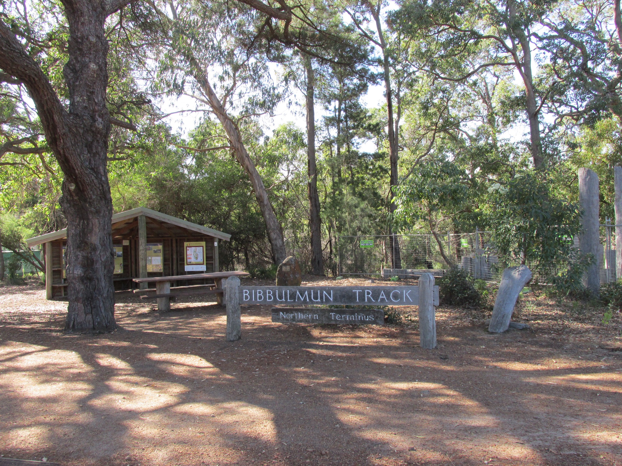
- Bibbulmun Track Northern
- John Forrest / Avon Valley
- Trails WA — Kitty’s Gorge, Serpentine NP, Jarrahdale
- Jarrahdale Heritage Society
- Munda Biddi Trail Foundation
- Wikipedia — Pindjarup people
Missing data / follow-up work
- Kitty’s Gorge Walk Trail is closed from Sunday 4 January 2026 to Thursday 2 April 2026 for plantation timber harvesting on the adjacent Forest Products Commission lease. Confirm current status with DBCA and the Parks and Wildlife Service Mundaring office before travel; when the closure applies, substitute Stacey’s Loop or Baldwins Bluff from the Serpentine end.
- Elevation figures for all five walks are approximate; DBCA does not publish official cumulative-gain figures for Serpentine National Park routes.
- DBCA does not publish direct GPX or KML downloads for any of the walks listed above. All route files are official web-page sources; several third-party AllTrails and Trail Hiking Australia pages carry user-contributed GPX for cross-reference.
- Difficulty grades: Baldwins Bluff is reported as AWTGS Grade 3 in some sources and Class 4 in DBCA-aligned descriptions; the higher figure is used here for planning. Kitty’s Gorge is universally Class 4.
- Total Fire Ban closures of Serpentine National Park are common in January and February — confirm status via DBCA alerts before travel in summer.
- Munda Biddi day-loop options from Jarrahdale (Wungong and Dandalup segments) were considered as an alternative fifth walk but excluded in favour of the 1872 Heritage Railway Trail because they are primarily cycling routes.