Regional overview
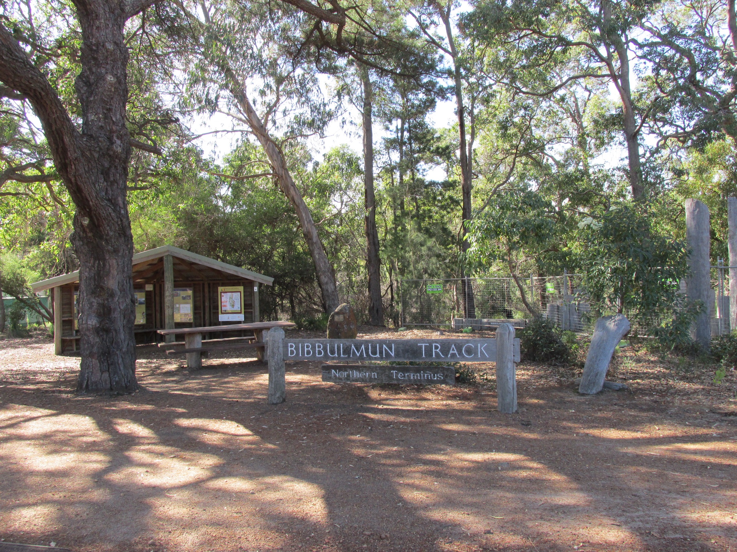
The Bibbulmun Track runs 1,003 km from the Kalamunda northern terminus in the Perth Hills to the Southern Terminus on the Albany foreshore. Its northernmost ~150 km — from Kalamunda south through the Darling Range to Dwellingup — is the section that most walkers in Perth reach on a day trip, and it is the busiest of the eight track “sections” defined by the Bibbulmun Track Foundation. The route crosses the traditional Country of the Whadjuk Noongar around Kalamunda and Mundaring Weir and the Binjareb (Pinjareb) Noongar around Dwellingup. In Noongar tradition the Bibbulmun Track motif — the yellow triangle marking every wooden post — depicts the Wagyl, the Rainbow Serpent whose winding path is said to have shaped the rivers, springs and granite outcrops of the south-west.
The corridor threads a landscape of jarrah (Eucalyptus marginata) and marri (Corymbia calophylla) forest at lower elevations and open wandoo (Eucalyptus wandoo) woodland on the ridges. Granite domes rise above the canopy at Sullivan Rock, Mount Vincent, Mount Cuthbert and Mount Cooke, and the Helena River catchment cuts a deep valley near Mundaring Weir. Elevations sit between roughly 200 m and 580 m and none of the walks is truly a mountain climb, but the cumulative gain across the Darling Scarp is substantial and the exposed granite tops give unexpectedly wide views over the coastal plain to Perth and, further south, over the northern jarrah forest to the Murray River. The Darling Range campsites are three-sided timber shelters with tank water, a long-drop toilet and a picnic table — walkers on day sections rely on these tanks only for emergencies, since capacity is shared with overnight parties on the end-to-end walk.
Between Kalamunda and Dwellingup the Bibbulmun Track Foundation lists ten standard campsites in order: Kalamunda (northern terminus) → Hewett’s Hill → Ball Creek → Waalegh → Beraking → Canning → Monadnocks → Mount Wells → Chadoora → Dwellingup. The inter-campsite distances that fall in the “day-walk” band range from about 8.6 km to about 21 km, and give roughly fifteen possible day sections when out-and-back variants are counted. Trailheads at Kalamunda, the Perth Hills Discovery Centre, Sullivan Rock car park and Dwellingup are all reachable by sealed road from Perth in under 90 minutes.
These are point-to-point sections along a linear long-distance trail, so every walk in this article is presented as an A-to-B section between two campsites and needs either a vehicle shuttle, a second driver at each end, or a car-swap arrangement with a fellow party. Out-and-back variants (car parked at one end, walk to the far campsite and back) are always possible but roughly double the day’s distance and are noted individually. The Bibbulmun Track Foundation uses its own two-tier grading — “easy”, “medium” or “hard” per section — rather than the DBCA six-class or the AWTGS grading systems; this article quotes the Foundation grade and adds a plain-language cross-check.
Selection rationale
The five sections are chosen to give a balanced day-walking picture of the northern Bibbulmun corridor within the constraints of the Darling Range campsite spacing. Kalamunda to Hewett’s Hill is the classic first day, the descent to Piesse Brook and the climb over the Darling Scarp shoulder giving the trail’s opening character. Ball Creek to Waalegh is the standard “Perth Hills wandoo” day, passing through the Helena catchment on the flanks of Mundaring Weir. Waalegh to Beraking is the shortest of the five and the one that sits highest on the ridge in open wandoo. Sullivan Rock to Monadnocks over Mount Vincent and Mount Cuthbert is the flagship “granite dome” day of the northern half of the trail and the one most walked as an out-and-back day. Mount Wells to Chadoora is the transition day into the northern jarrah forest and the standard approach to Dwellingup for parties finishing at the town. Canning to Monadnocks was considered but excluded because it duplicates the Sullivan Rock approach; Chadoora to Dwellingup was considered but excluded at 21 km as the longest single stage and is flagged in the missing-data notes as a follow-up for stronger walkers.
Summary table
| # | Hike | Country | Route type | Distance | Gain | Max elevation | Difficulty |
|---|---|---|---|---|---|---|---|
| 1 | Kalamunda (Northern Terminus) to Hewett’s Hill Campsite | Australia | Point-to-point | ~10.3 km | ~240 m | ~380 m | Medium (BTF) |
| 2 | Ball Creek to Waalegh Campsite | Australia | Point-to-point | ~9.4 km | ~355 m | ~400 m | Medium–Hard (BTF) |
| 3 | Waalegh to Beraking Campsite | Australia | Point-to-point | ~8.6 km | ~155 m | ~410 m | Medium (BTF) |
| 4 | Sullivan Rock to Monadnocks (Mount Vincent and Mount Cuthbert) | Australia | Point-to-point (or ~15.4 km return) | ~7.7 km one-way / ~15.4 km return | ~500 m (return) | ~545 m | Hard (BTF) |
| 5 | Mount Wells to Chadoora Campsite | Australia | Point-to-point | ~16 km | ~150 m | ~380 m | Medium (BTF) |
1. Kalamunda (Northern Terminus) to Hewett’s Hill Campsite
Snapshot
Itinerary
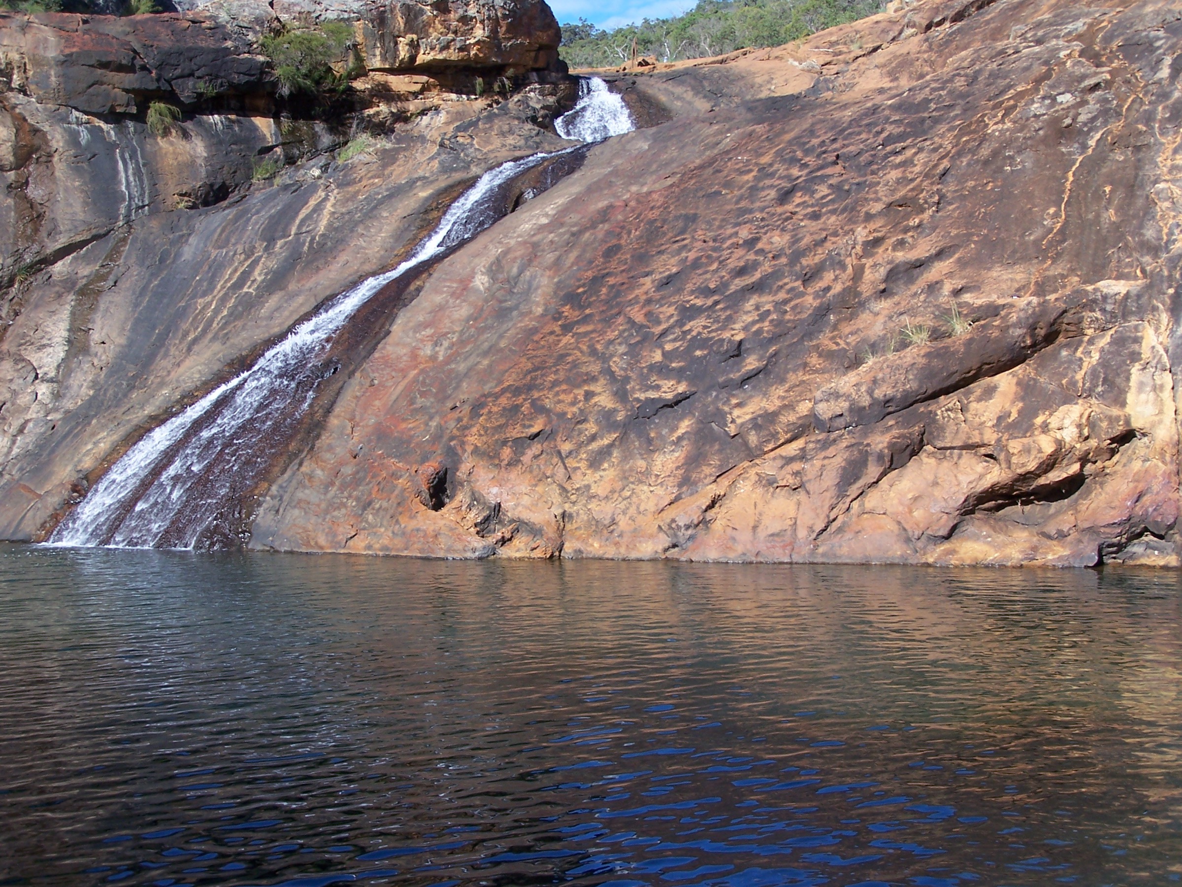
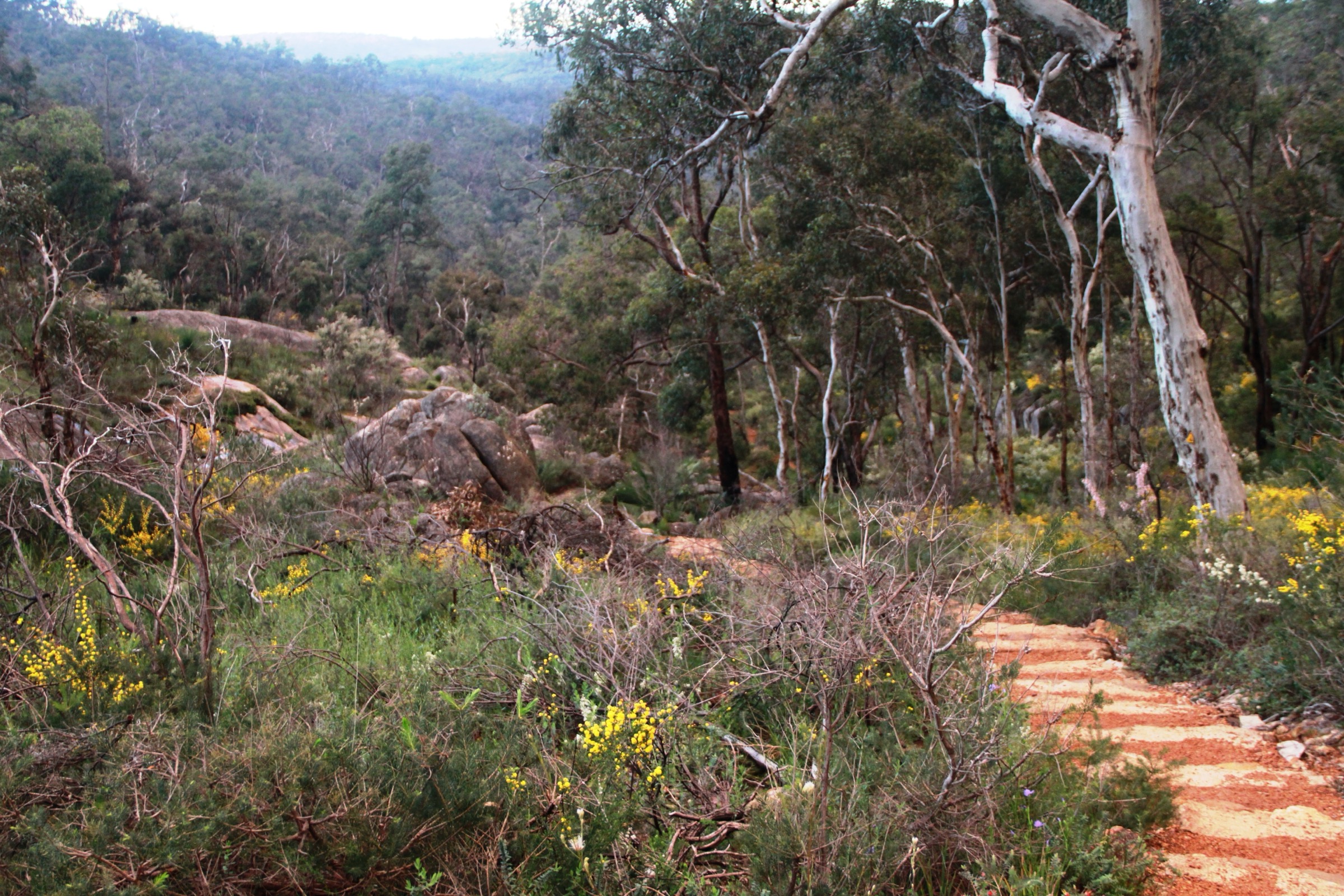
The Bibbulmun Track’s northern terminus stands on the roundabout at the junction of Railway Road and Mundaring Weir Road in central Kalamunda, next to the Kalamunda History Village. From the terminus arch the track drops through the town’s suburban fringe, follows the Kalamunda Railway Heritage Trail formation for a short stretch, then swings east onto a single-track foot path that enters Kalamunda National Park. The tread descends steadily through jarrah and marri forest for about 3 km to Piesse Brook — a granite-boulder stream that flows from mid-winter through late spring — where a short signed spur leads to Rocky Pool, a popular swimming and picnic site.
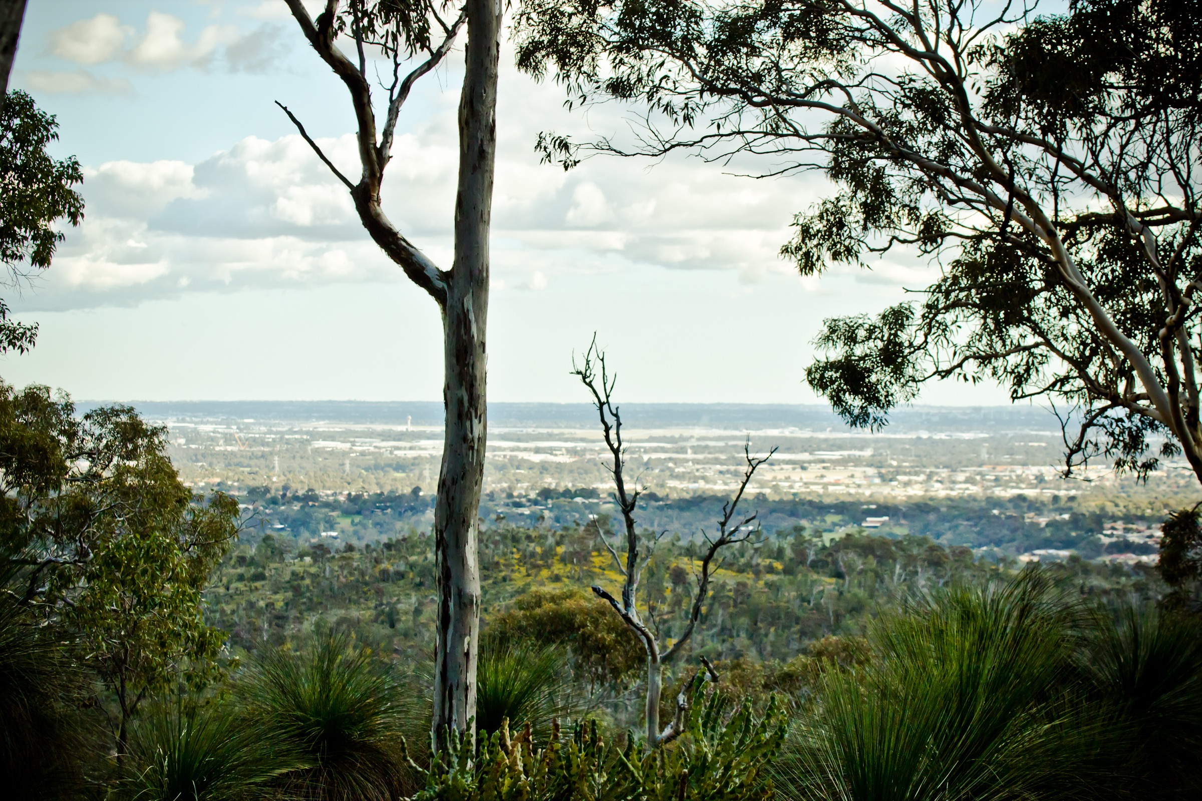
From Piesse Brook the track climbs back onto the scarp shoulder in a series of gentler switchbacks, crossing under a high-voltage power-line easement that gives the first westward view over the coastal plain toward Perth. The final 3 km rolls over shallow ridges through open wandoo and dry jarrah to Hewett’s Hill Campsite, a hillside shelter facility named after Peter Hewett, one of the volunteers who helped build the modern Bibbulmun. Water at the campsite is rainwater tank only. Return options are: reverse the route to Kalamunda for an out-and-back day of ~20.4 km; walk on to Ball Creek Campsite for an overnight; or arrange a car shuttle back from the closest sealed access at Camel Farm on Mundaring Weir Road.
Why it is essential
This is the opening section of the entire Bibbulmun Track and the standard “first day on the track” for every end-to-end walker. As a stand-alone day-walk it packs in the trail’s signature ingredients — the arch at the terminus, the descent to Piesse Brook, the Rocky Pool side trip, the Wagyl-marked posts and the first ridge views back toward Perth — inside a single 3–4 hour stage reachable by suburban bus.
Equipment
- Sturdy walking shoes or light boots (rocky and rooted in places)
- Broad-brimmed hat, sunscreen, long sleeves
- 2–3 L of water minimum (Piesse Brook is not a treated source; do not rely on the campsite tank)
- Warm and weatherproof layer for the Perth Hills winter
- Map (Bibbulmun Foundation Map 1) and compass
- First-aid kit including a snake-bite compression bandage
- Head-torch for a late finish in winter
- Personal Locator Beacon (PLB) is not standard here but recommended for solo walkers
Hazards and notes
- Full-length section of the Bibbulmun Track: waymarking is regular, but junctions with the Kalamunda Railway Heritage Trail and side spurs to Rocky Pool are easy to misread — follow the yellow Wagyl markers.
- Piesse Brook can flow strongly in winter; the crossing is a stepping-stone rockhop, not bridged.
- Snake activity from spring through autumn — dugites and tiger snakes are both present.
- Rocky Pool is a swimming spot but water quality is unmonitored; the site sees crowds on weekends.
- Fire risk is high from November to April; check the DFES fire-danger rating and total fire ban register before travel.
- Rely on carried water rather than the Hewett’s Hill campsite tank; that supply is reserved for overnight end-to-enders.
GPX / route file
| Source | URL | Format | Notes |
|---|---|---|---|
| Bibbulmun Track Foundation — The Darling Range section | bibbulmuntrack.org.au | Web page | Official route source; GPX only via paid Foundation Map 1 |
| Bibbulmun Track Foundation — Distance Calculator | bibbulmuntrack.org.au | Web tool | Official inter-campsite distance source |
| Trails WA — Bibbulmun Track, Camel Farm to Hewett’s Hill | trailswa.com.au | Web page | Shorter shuttle variant from Camel Farm car park |
Sources
- Bibbulmun Track Foundation — The Darling Range
- Trails WA — Bibbulmun Track, Camel Farm to Hewett’s Hill
- The Life of Py — Kalamunda to Hewett’s Hill
- Wikimedia Commons — Bibbulmun Rocky Pool track, Kalamunda
2. Ball Creek to Waalegh Campsite
Snapshot
Itinerary
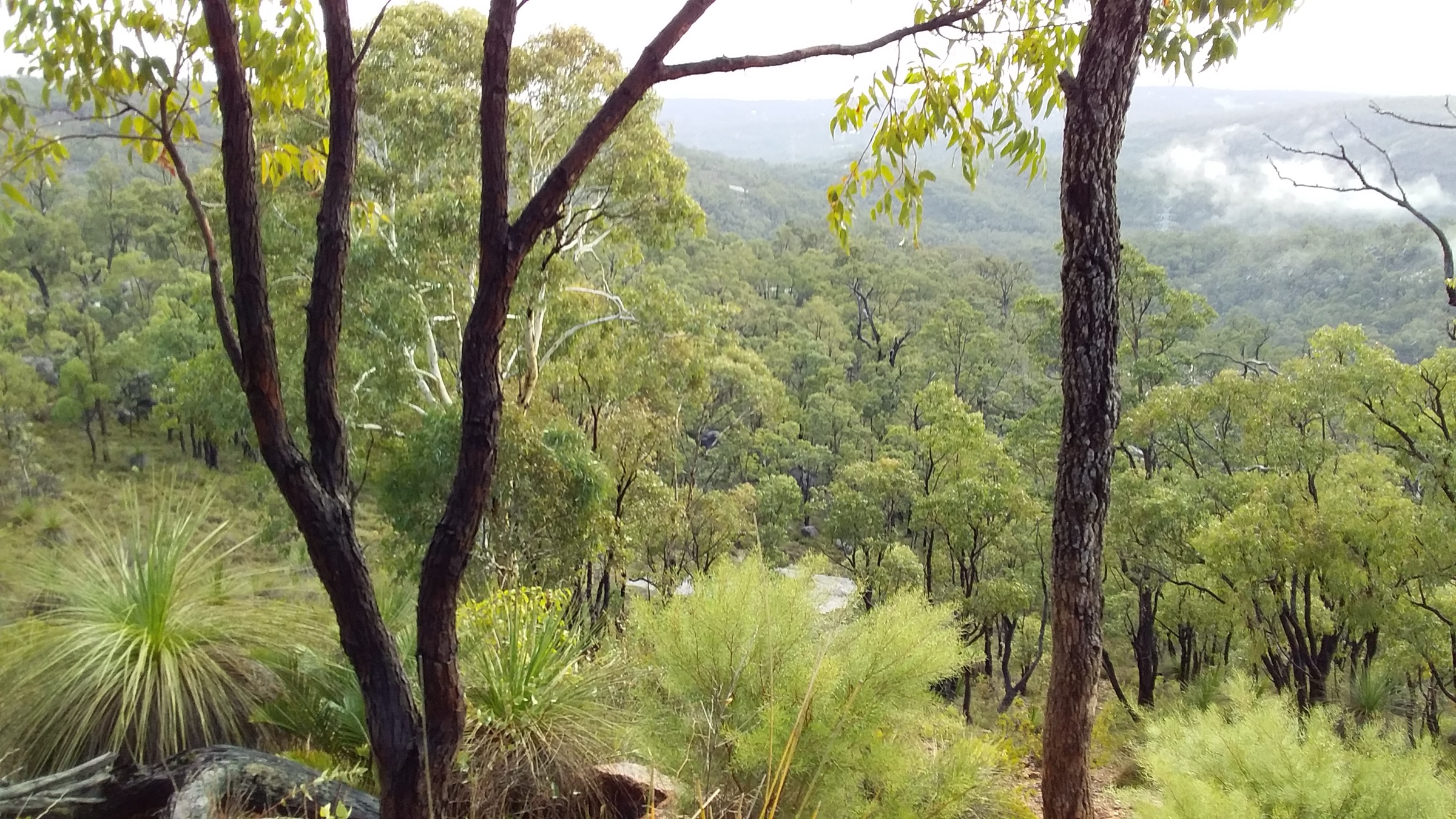
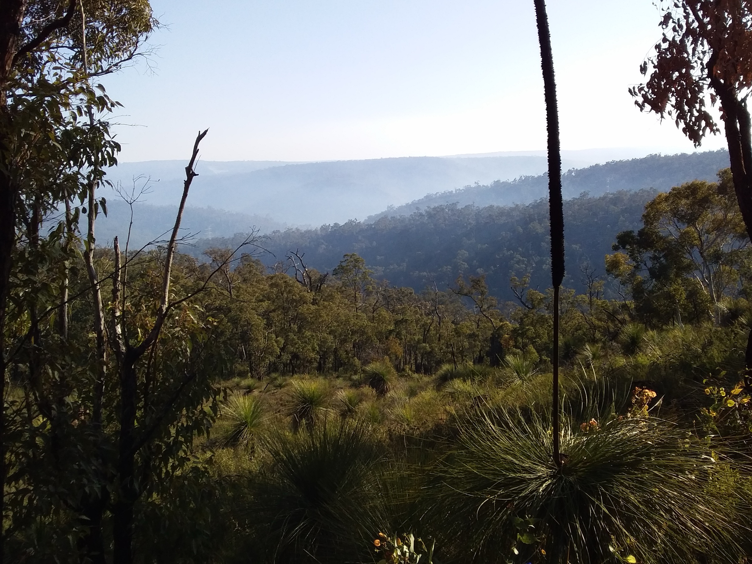
The section leaves Ball Creek Campsite, close to the Perth Hills Discovery Centre area east of Mundaring, and climbs steadily through jarrah–marri forest to cross the Helena River on Allen Road bridge. From the river the track begins a series of climbs and descents across a succession of forested ridges, gradually transitioning from taller jarrah on the lower slopes to more open wandoo woodland on the tops. The tread is a mix of Bibbulmun single-track, short vehicle-track co-alignments, and granite platforms where the trail crosses exposed rock. Ephemeral gullies host grass-tree (Xanthorrhoea) thickets and, in late winter and spring, orchids, flame peas and karri hazel.
The final climb approaches Waalegh Campsite on a west-facing hillside overlooking the Helena catchment. Waalegh itself sits at about 400 m and is one of the most highly rated campsites on the northern Bibbulmun for its sunset outlook; morning mist regularly rolls up the valley from Lake C.Y. O’Connor. Return options are: reverse the section for a demanding ~18.8 km out-and-back; continue north to Beraking for a two-day link; or shuttle out via the Waalegh access track to the sealed road network north of Mundaring Weir.
Why it is essential
Ball Creek to Waalegh is the Perth Hills “hard middle” day of the Bibbulmun’s opening section. It concentrates the character of the Helena catchment — bridged river crossing, wandoo tops and the Waalegh outlook — into a single 9–10 km stage and leads to the campsite most walkers rate as the best of the Darling Range for a sunset visit.
Equipment
- Sturdy walking shoes or light boots
- Sun protection and hat
- 2.5–3 L of water (no reliable natural water until the Waalegh tank)
- Warm and weatherproof layer — the wandoo tops are exposed
- Map (Bibbulmun Foundation Map 1)
- First-aid kit including snake-bite bandage
- Head-torch
- Trekking poles helpful on the ridge climbs
Hazards and notes
- Sustained gain over multiple ridges — this is a genuinely hilly day.
- Allen Road bridge is the safe crossing of the Helena River; do not attempt a wet-season rock-hop upstream or downstream.
- Snake activity through the warmer months.
- Vehicle shuttle logistics: park a car at Waalegh access before starting from Ball Creek; drive time between the two is roughly 40 minutes.
- Fire and prescribed-burn closures are common in the Helena catchment — check the Bibbulmun Foundation “track closures” page before travel.
- Do not treat the Waalegh tank as a routine day-walker water source.
GPX / route file
| Source | URL | Format | Notes |
|---|---|---|---|
| Bibbulmun Track Foundation — Distance Calculator | bibbulmuntrack.org.au | Web tool | Official inter-campsite distances |
| Bibbulmun Track Foundation — The Darling Range | bibbulmuntrack.org.au | Web page | Official section notes; GPX via Foundation Map 1 |
Sources
- Bibbulmun Track Foundation — Distance Calculator
- Bibbulmun Track Foundation — The Darling Range
- The Life of Py — Helena to Waalegh
- Wikimedia Commons — View from Bibbulmun Track across Kalamunda National Park
3. Waalegh to Beraking Campsite
Snapshot
Itinerary
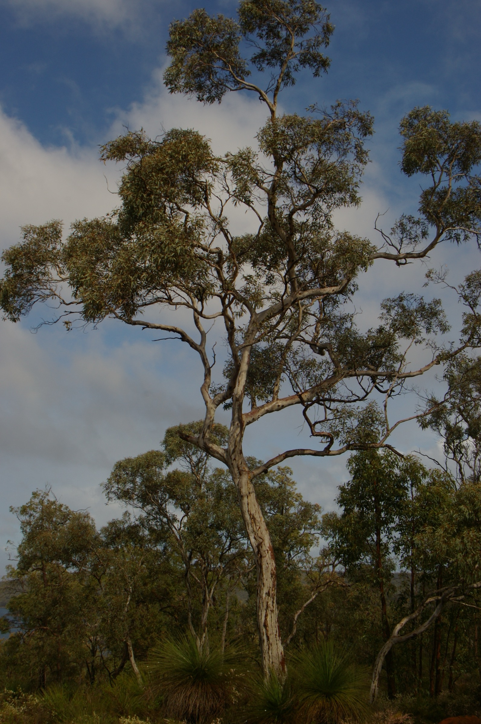
Waalegh to Beraking is the shortest of the five day-walks in this article and the one that spends the highest proportion of its route on open wandoo tops. From the Waalegh shelter the track drops briefly off the west-facing slope, crosses a shallow saddle and climbs back onto a broad ridge of open Eucalyptus wandoo. The tread is a stable single-track with a few rocky outcrops and occasional overgrown stretches where karri hazel thickets close in over the corridor. A large granite platform partway along gives a partial view over the last remnants of Lake C.Y. O’Connor to the north and is the section’s main mid-route feature.
The final approach to Beraking passes through more wandoo and ends at a hillside campsite with a wide flat clearing behind the shelter. Beraking has valley views from its shelter awning and generally sees fewer walkers than Waalegh. Return options are: reverse the section for a manageable ~17.2 km out-and-back day; continue south to Canning Campsite; or arrange a shuttle out via the sealed Mundaring Weir Road network to the north of Beraking.
Why it is essential
At ~8.6 km this is the northern Bibbulmun’s most accessible “high-country” day: a rolling ridge-line stage in open wandoo woodland, low cumulative gain, and a good mid-route granite viewpoint. It is the best section in the article for walkers who want the trail’s ridge-country feel without a long day on their feet.
Equipment
- Walking shoes or light boots
- Sun protection (open wandoo gives little shade)
- 2–2.5 L of water (no reliable natural water)
- Warm layer — the tops are exposed
- Map (Bibbulmun Foundation Map 1)
- First-aid kit including snake-bite bandage
- Head-torch
Hazards and notes
- Karri hazel thickets can close over the corridor after wet winters — waymark posts remain visible but expect to push through vegetation in places.
- Exposed granite platforms are slippery when wet.
- Snake activity through the warmer months.
- Shuttle logistics require driving unsealed forestry roads to reach both Waalegh and Beraking access; a low-clearance sedan can manage in dry conditions but not after heavy rain.
- Beraking tank water is reserved for overnight parties.
GPX / route file
| Source | URL | Format | Notes |
|---|---|---|---|
| Bibbulmun Track Foundation — Distance Calculator | bibbulmuntrack.org.au | Web tool | Official inter-campsite distances |
| Bibbulmun Track Foundation — The Darling Range | bibbulmuntrack.org.au | Web page | Official section notes |
Sources
- Bibbulmun Track Foundation — Distance Calculator
- Bibbulmun Track Foundation — The Darling Range
- The Life of Py — Waalegh to Beraking
- Wikimedia Commons — Eucalyptus wandoo (Gnangarra)
4. Sullivan Rock to Monadnocks (Mount Vincent and Mount Cuthbert)
Snapshot
Itinerary
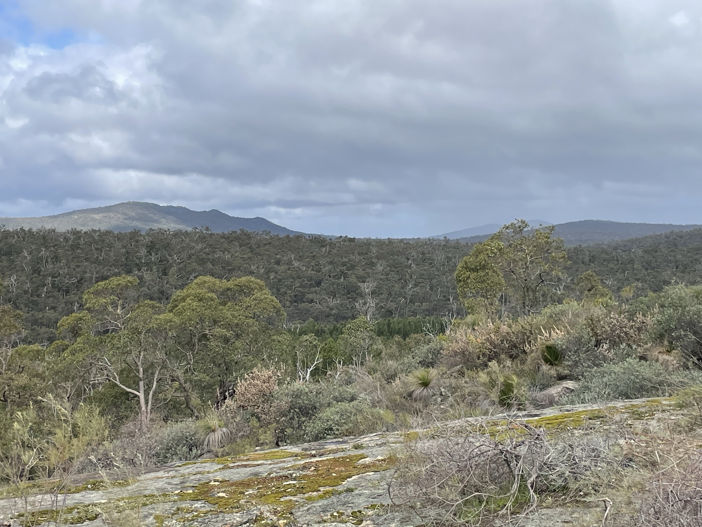
The Sullivan Rock trailhead sits directly on the Albany Highway roughly 70 km south of Perth. The Bibbulmun Track climbs from the car park onto the exposed granite whaleback of Sullivan Rock itself, marked by yellow triangles painted directly on the stone. From the top of Sullivan Rock the route drops back into jarrah–marri forest and follows an undulating line for about 2 km before beginning the sustained climb up the west flank of Mount Vincent. Mount Vincent is the first real climb of the northern Bibbulmun, with bare granite on its western side and a distinctive rock pyramid at the top, at approximately 500 m.
Beyond Mount Vincent the trail drops briefly, then climbs a second granite dome — Mount Cuthbert, the higher of the two at roughly 545 m, with more open granite, mossy patches and small rock pools in wetter months. From Cuthbert a further descent-then-climb leads to Monadnocks Campsite, positioned near the top of a hill with sweeping views out across the northern jarrah forest. Most day walkers turn around at Monadnocks and reverse the route to Sullivan Rock — the standard 15.4 km return day. Point-to-point walkers can continue south to Mount Cooke Campsite or shuttle out via the Monadnocks access track.
Why it is essential
This is the flagship day-walk of the northern Bibbulmun Track and the classic “granite dome” day of the Darling Range. Sullivan Rock, Mount Vincent and Mount Cuthbert give three back-to-back exposed granite viewpoints and the highest single-day gain of any section in this article. The Bibbulmun Track Foundation lists it as one of the trail’s stand-out day-walks and it is the busiest section on the northern half of the track.
Equipment
- Sturdy boots
- Sun protection and hat — long exposed granite sections
- 3 L of water minimum (no reliable natural water on the ridges)
- Warm and weatherproof layer for the summits
- Map (Bibbulmun Foundation Map 1) and compass
- First-aid kit including snake-bite bandage
- Trekking poles useful on the descents
- Head-torch for a long day
- Personal Locator Beacon (PLB) recommended for solo walkers
Hazards and notes
- Granite domes become dangerously slippery when wet or dew-covered — the descent of Mount Cuthbert is the crux.
- Fully exposed granite summits with no shade — heat is the dominant hazard from November to March.
- Fire-danger closures: the Sullivan Rock car park is regularly closed on Total Fire Ban days; check the DFES fire register.
- Snake activity through the warmer months.
- Waymarking on the granite is painted triangles that fade — follow them carefully in poor light.
- Monadnocks tank water is reserved for overnight walkers.
GPX / route file
| Source | URL | Format | Notes |
|---|---|---|---|
| Bibbulmun Track Foundation — The Darling Range | bibbulmuntrack.org.au | Web page | Official route source |
| Trails WA — Sullivan Rock to Mt Cooke | trailswa.com.au | Web page | Longer variant covering the same first ridge |
| Bibbulmun Track Foundation — Distance Calculator | bibbulmuntrack.org.au | Web tool | Sullivan Rock to Monadnocks inter-campsite distance |
Sources
- Bibbulmun Track Foundation — The Darling Range
- Trails WA — Sullivan Rock to Mt Cooke
- The Life of Py — Sullivan Rock to Monadnocks
- Wikimedia Commons — Darling Scarp from Sullivan Rock
5. Mount Wells to Chadoora Campsite
Snapshot
Itinerary
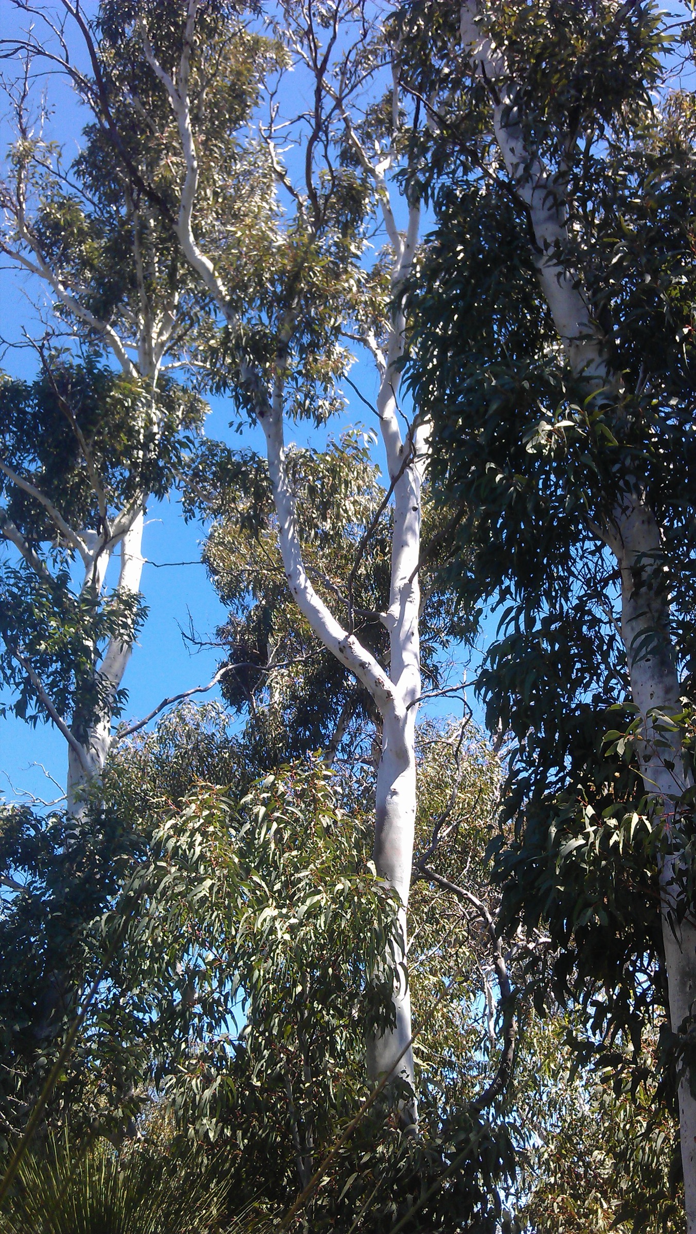
Mount Wells Campsite is unique on the Bibbulmun as the only fully enclosed, four-wall hut — a replica of the original fire-watchman’s cottage that once stood next to the summit’s fire tower. It sits at the trailhead of this section at about 400 m and is reached by a short unsealed access road from the Albany Highway network. From the hut the track begins a gently descending line off the summit ridge, dropping into taller jarrah forest with occasional stands of marri and Eucalyptus laeliae (“Darling Range Ghost Gums”) on the rocky knolls.
The middle of the day rolls along old forestry vehicle tracks and Bibbulmun single-track through unbroken jarrah forest, with grass-tree and wildflower understorey through winter and spring. There are no significant granite domes on this section — the character shifts from the granite-topped ridges of the Sullivan Rock area to the deep-forest walking that dominates the rest of the trail south of Dwellingup. The final approach to Chadoora Campsite descends through wetter jarrah forest and ends at the shelter on a low hillside. Return options are: reverse the day for a demanding ~32 km out-and-back (rarely done); continue south the following day to Dwellingup (a further ~21 km); or shuttle out via Chadoora’s access road to Dwellingup or Nanga Road.
Why it is essential
Mount Wells to Chadoora is the transition day from Perth Hills granite country to the deep northern jarrah forest, and starts at the trail’s most distinctive campsite — the only enclosed hut on the whole 1,003 km. It is the standard approach section to Dwellingup for parties finishing their northern-Bibbulmun leg at the town and forms the natural bookend to the Kalamunda opening day.
Equipment
- Sturdy walking shoes or light boots
- Sun protection
- 2.5–3 L of water (long stretches without water)
- Warm and weatherproof layer
- Map (Bibbulmun Foundation Map 1 for the northern part of the section; Map 2 for Chadoora)
- First-aid kit including snake-bite bandage
- Head-torch
- Trekking poles helpful on forestry-track sections
Hazards and notes
- Longest of the five days at ~16 km — start early.
- Shuttle logistics require driving unsealed forestry roads to Mount Wells; check road conditions after heavy rain.
- Snake activity through the warmer months, including tiger snakes near forest wetlands.
- Prescribed-burn closures are common in the northern jarrah forest — check the Bibbulmun Foundation track-closures page and DBCA burn notices.
- Mount Wells hut is a Bibbulmun end-to-end shelter; day walkers should not occupy sleeping platforms if overnight parties arrive.
- Chadoora tank water is reserved for overnight walkers.
GPX / route file
| Source | URL | Format | Notes |
|---|---|---|---|
| Bibbulmun Track Foundation — Dwellingup section | bibbulmuntrack.org.au | Web page | Official route source |
| Bibbulmun Track Foundation — Distance Calculator | bibbulmuntrack.org.au | Web tool | Mount Wells to Chadoora distance |
Sources
- Bibbulmun Track Foundation — Dwellingup section
- Bibbulmun Track Foundation — The Darling Range
- The Life of Py — Mount Wells to Chadoora
- Wikimedia Commons — Darling Range Ghost Gums
Region-level sources
| Source | URL |
|---|---|
| Bibbulmun Track Foundation — The Track | bibbulmuntrack.org.au |
| Bibbulmun Track Foundation — Section by Section Guide | bibbulmuntrack.org.au |
| Bibbulmun Track Foundation — The Darling Range section | bibbulmuntrack.org.au |
| Bibbulmun Track Foundation — Dwellingup section | bibbulmuntrack.org.au |
| Bibbulmun Track Foundation — Distance Calculator | bibbulmuntrack.org.au |
| Trails WA — Bibbulmun Track segment pages | trailswa.com.au |
| DBCA Explore Parks WA — Beelu National Park | exploreparks.dbca.wa.gov.au |
| DBCA Explore Parks WA — Lane Poole Reserve (Dwellingup) | exploreparks.dbca.wa.gov.au |
| Wikipedia — Bibbulmun Track | en.wikipedia.org |
| Wikipedia — Mount Cooke (Western Australia) | en.wikipedia.org |
Further reading
Nearby Darling Range guides on Storm
- John Forrest / Avon Valley
- Kalamunda / Mundaring
-
Bibbulmun Track Foundation — Along the Track: The Darling Range
- The Life of Py — Kalamunda to Dwellingup Bibbulmun overview
- Australian Hiker — Bibbulmun Track (1005 km)
- Wikipedia — Whadjuk people
- Wikipedia — Pinjareb people
Missing data / follow-up work
- The Bibbulmun Track Foundation does not publish free GPX or KML for the individual sections; all official route files are inside the paid Foundation Map 1 (Darling Range) and Map 2 (Dwellingup). Third-party GPX traces exist on AllTrails and Gaia GPS but have not been independently verified against the current Foundation-maintained alignment.
- Chadoora to Dwellingup (~21 km) is the longest single stage between the northern terminus and Dwellingup and is excluded from the main five as a stronger-party candidate; it is worth adding as a follow-up entry once route conditions and current bridge status on the Murray tributaries are verified.
- Mount Vincent and Mount Cuthbert elevations quoted here are approximate (~500 m and ~545 m). The Foundation section pages describe them qualitatively but do not publish spot heights; confirm against the official 1:50 000 Foundation map before publication of any precise figures.
- The Bibbulmun Track is subject to frequent partial closures for prescribed burns, storm damage and infrastructure repair — always cross-check the Foundation’s “track closures” page in the week before travel.
- No licence-compatible photograph of the Mount Wells hut or of Chadoora Campsite was located in this pass; the Mount Wells to Chadoora section uses a representative Darling Range Ghost Gums image instead.