Regional overview
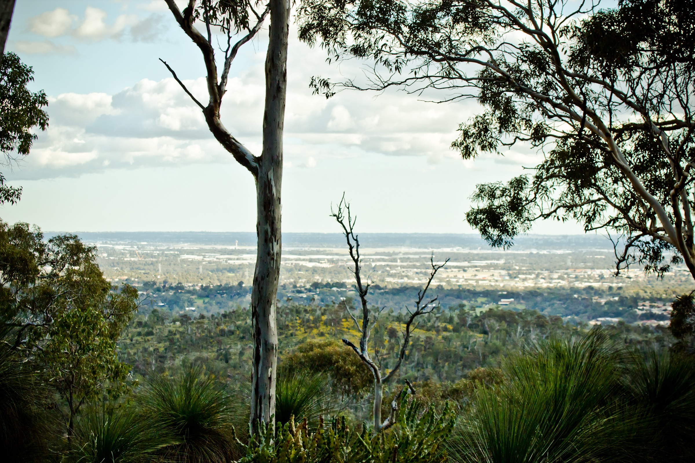
John Forrest National Park sits on the western edge of the Darling Scarp about 24 km east of Perth, straddling the sharp break where the Swan Coastal Plain rises 200 m onto the laterite plateau of the Darling Range. It was gazetted in 1900 — reserved for conservation and recreation as early as 1898 — and is Western Australia’s first national park and the second national park declared anywhere in Australia after Royal National Park in New South Wales. The park is Whadjuk Noongar country: Jane Brook, which drains the park’s central valley, is a Waugal (rainbow serpent) site and was a traditional east–west travel route across the scarp.
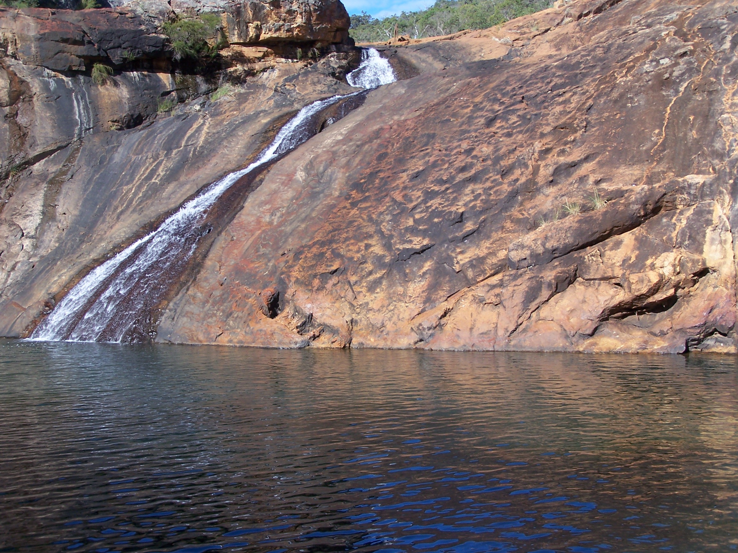
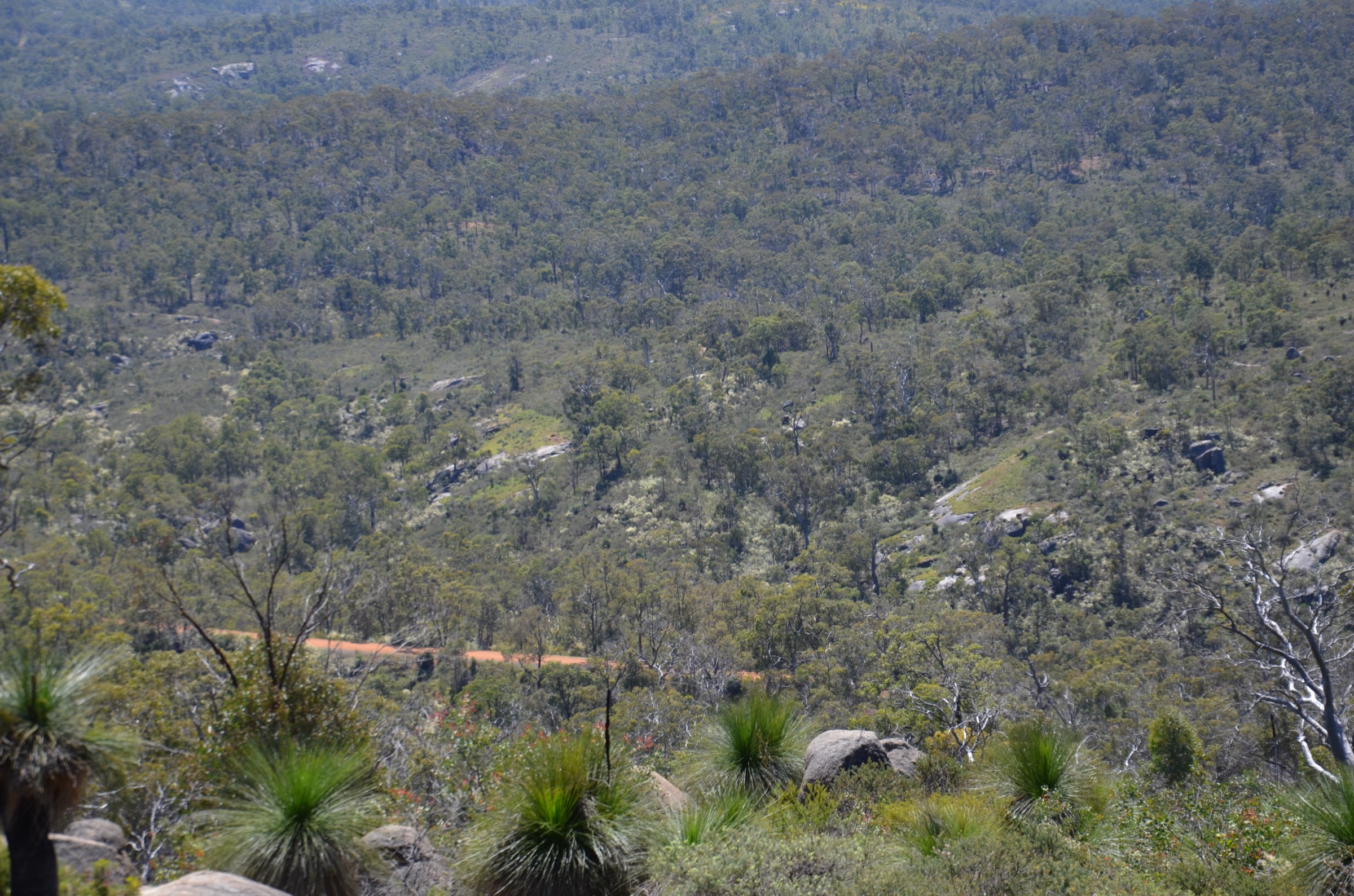
Avon Valley National Park lies about 50 km north-east of Perth, on the same Darling Range plateau but further inland, and straddles the Avon River gorge as it cuts down through the scarp between Toodyay and Bells Rapids. It sits on Ballardong Noongar country in the north-east and Whadjuk Noongar country to the south-west, and preserves a dry, rugged jarrah–marri–wandoo landscape of granite outcrops and steep river bluffs — a very different feel from the moist Jane Brook valley of John Forrest. The park was gazetted in 1971 and includes a former Department of Defence artillery training area on its northern side, with lingering unexploded-ordnance advice on some access tracks.
The two parks together cover the walker-accessible highlights of the Darling Scarp east of Perth. John Forrest is the classic “Perth Hills” day-hiking park, with a compact network of formed trails radiating from the main picnic area at the top of Greenmount Hill: the Railway Reserves Heritage Trail through the historic Swan View Tunnel, the Eagle View Walk (a 15 km ridge and valley circuit with wildflower panoramas), the shorter Little Eagle Walk, and the Glen Brook Walk Trail in the park’s northern section around Glen Brook Dam. Avon Valley, by contrast, is an unformalised bushwalking area — its recognised long-day walks are the WalkGPS “South Side Walk” and “Both Sides Walk” out of Homestead Campsite, with substantial off-track sections through eucalypt woodland and granite country.
The dominant hazards are heat and fire risk. Summer temperatures across the Perth Hills routinely exceed 38 °C, water is limited on all routes, and Total Fire Ban days close the parks to walking. Wildflower season through September and October is the reliable window for both parks. Snakes — particularly dugites and tiger snakes — are active from spring through autumn. Mobile coverage is patchy but generally present on the John Forrest trails and much weaker in the Avon Valley gorge.
Selection rationale
The five walks are selected to give a balanced day-walking picture of the John Forrest / Avon Valley pairing. Four routes are drawn from John Forrest’s formed-trail network — the Heritage Trail through the Swan View Tunnel, the Eagle View Walk circuit, the Little Eagle Walk (a shorter loop that shares the western part of the Eagle View corridor) and the Glen Brook Walk Trail in the park’s northern granite country — because John Forrest is the sub-region’s principal signposted trail hub. The fifth is a full day off-track in Avon Valley National Park (the WalkGPS South Side Walk out of Homestead Campsite), which is the standard route into the Avon River gorge and its granite outcrops and the natural pairing for anyone extending the John Forrest day into two nights. The Railway Reserves Heritage Trail is treated at its John Forrest section only; the full 41 km loop through Mundaring is flagged in the missing-data section as a longer follow-up.
Summary table
| # | Hike | Country | Route type | Distance | Gain | Max elevation | Difficulty |
|---|---|---|---|---|---|---|---|
| 1 | Railway Reserves Heritage Trail via Swan View Tunnel (JFNP section) | Australia | Out-and-back | ~5 km | ~60 m | ~230 m | Class 2 (DBCA) |
| 2 | Eagle View Walk Trail (John Forrest circuit) | Australia | Loop | ~15 km | ~430 m | ~340 m | Class 4 (DBCA) |
| 3 | Little Eagle Walk Trail | Australia | Loop | ~8.8 km | ~250 m | ~330 m | Class 3 (DBCA) |
| 4 | Glen Brook Walk Trail | Australia | Loop | ~4.5 km | ~120 m | ~290 m | Class 3 (DBCA) |
| 5 | Avon Valley National Park — South Side Walk | Australia | Loop (off-track) | ~17 km | ~600 m | ~300 m | Hard (WalkGPS) — no DBCA rating |
1. Railway Reserves Heritage Trail via Swan View Tunnel (John Forrest section)
Snapshot
Itinerary
The trail follows the formation of the former Eastern Railway, which crossed the Darling Scarp between 1896 and 1966 before being replaced by the modern Avon Valley line further north. From the John Forrest main picnic area, walkers head west on the wide gravel track, dropping gently along the old cutting through jarrah and marri forest. Roughly 1.5 km from the picnic area, the trail passes through the Swan View Tunnel — at 340 m the only historic railway tunnel in Western Australia that walkers can pass through end-to-end. The tunnel was completed in 1895 and abandoned in 1966 after the “Swan View deviation” bypassed it; the interior is dark, damp underfoot in winter, and requires a torch. West of the tunnel the trail continues down the scarp toward Swan View suburb; most day-walkers turn at the tunnel’s western portal and return to the picnic area on the same line. The full 41 km Railway Reserves Heritage Trail continues north and east through Mundaring and back and is a separate multi-day walking-and-cycling route.
Why it is essential
The Heritage Trail is the signature accessible walk of John Forrest National Park and one of the two “must-do” John Forrest experiences alongside the Eagle View circuit. It combines the park’s natural jarrah forest with a piece of Western Australia’s railway heritage — a linear industrial site now returned to the bush — and the Swan View Tunnel itself is a set-piece that no other walk on the Darling Scarp can offer.
Equipment
- Walking shoes (formed gravel, occasional puddles)
- Torch or headtorch (essential for the tunnel)
- Sun hat and sun protection
- 1–2 L of water
- Warm layer in winter
- First-aid kit including snake-bite bandage
- No drones inside the tunnel
Hazards and notes
- Tunnel interior is dark, damp and can be slippery underfoot — a torch is essential.
- Shared-use trail: watch for cyclists on the tunnel approaches.
- Snake activity through the warmer months.
- Bees have historically nested in tunnel wall recesses; do not linger at niches.
- Trail closes on Total Fire Ban days.
GPX / route file
| Source | URL | Format | Notes |
|---|---|---|---|
| DBCA Explore Parks WA — John Forrest National Park | exploreparks.dbca.wa.gov.au | Web page | Official route source; no direct GPX download published |
| DBCA Explore Parks WA — Swan View Tunnel | exploreparks.dbca.wa.gov.au | Web page | Tunnel-specific site page |
| Trails WA — Railway Reserves Heritage Trail | trailswa.com.au | Web page | Full 41 km loop reference |
Sources
- DBCA Explore Parks WA — John Forrest National Park
- DBCA Explore Parks WA — Swan View Tunnel
- Trails WA — Railway Reserves Heritage Trail
- Wikimedia Commons — Track of former Eastern Railway in John Forrest National Park
2. Eagle View Walk Trail
Snapshot
Itinerary
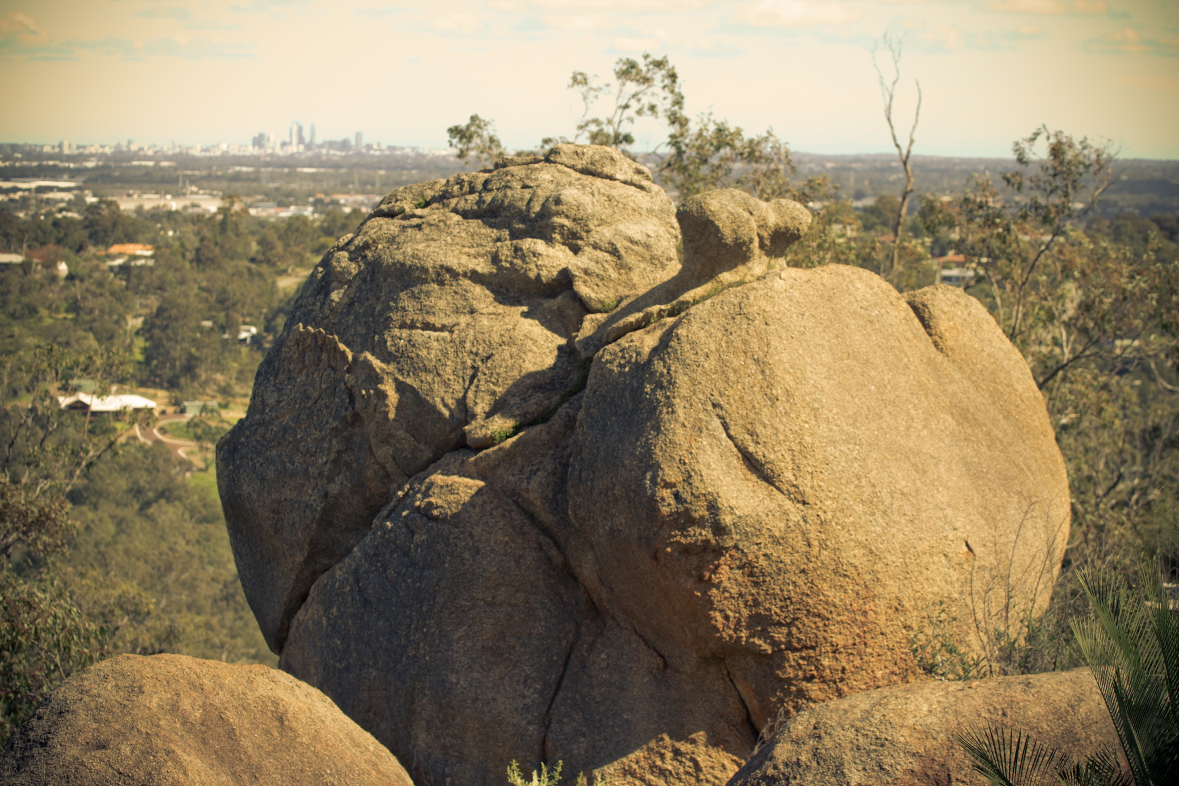
The Eagle View Walk is the flagship day-circuit of John Forrest National Park and one of the best-known long walks in the Perth Hills. From the ranger’s office car park at the main picnic area, walkers cross the bridge over Jane Brook and pick up the marked trailhead about 100 m to the north. The circuit is usually walked in an anti-clockwise direction: the route climbs east and north-east onto a laterite ridge, follows the scarp edge past occasional granite tors and lookout points with panoramic views west across the Swan Coastal Plain to Perth and the Indian Ocean, then drops through drier eucalypt woodland into the Jane Brook valley for the return along the stream. The eastern high point is around 340 m, and the total climb is roughly 430 m spread across several short pinches.
Wildflowers along the ridge — kangaroo paw, hakea, banksia, native pea — are the walk’s second signature feature, and the trail is at its best from late August through October. The route is well marked with metal Eagle View discs but crosses several other tracks; DBCA maps or a GPS track are recommended. Water is available at the trailhead only.
Why it is essential
Eagle View is the standard “big” day-walk of the Darling Scarp and the natural test-piece for anyone based in Perth. It packs coastal-plain panoramas, granite tors and a return along a live scarp brook into a single day-length loop, and its Class 4 grading makes it a bridge between the short formed walks in the park and the longer off-track routes further inland at Avon Valley.
Equipment
- Sturdy walking shoes or light boots
- Broad-brimmed hat, sun protection
- 3 L of water minimum (no water on route)
- Warm and weatherproof layer in winter
- Map and GPS; DBCA trail map recommended
- First-aid kit including snake-bite bandage
- Headtorch for a late finish in short winter days
- No drones
Hazards and notes
- Long day for a park visit; start early in warmer months.
- Fully exposed sections along the ridge — no shade at the wildflower panoramas.
- Snake activity spring through autumn.
- Trail closes on Total Fire Ban days.
- Several unmarked junctions with old management tracks — carry the DBCA map.
- Cell coverage is patchy along the eastern ridge.
GPX / route file
| Source | URL | Format | Notes |
|---|---|---|---|
| DBCA Explore Parks WA — John Forrest National Park | exploreparks.dbca.wa.gov.au | Web page | Official route source; no direct GPX download published |
| Trails WA — Eagle View Walk, John Forrest NP | trailswa.com.au | Web page | Distance, grade and route cross-check |
| Trail Hiking Australia — Eagle View Walk | trailhiking.com.au | Web page | Alternate distance and gain figures |
Sources
- DBCA Explore Parks WA — John Forrest National Park
- Trails WA — Eagle View Walk, John Forrest NP
- Trail Hiking Australia — Eagle View Walk
- Wikimedia Commons — Granite boulder formations in John Forrest National Park
3. Little Eagle Walk Trail
Photo status: No licence-compatible image found in this pass.
Snapshot
Itinerary
The Little Eagle Walk shares its trailhead with the Eagle View Walk at the ranger’s office car park and follows a purpose-built loop that captures a compressed version of the same ridge-and-valley character. From the bridge over Jane Brook, the route is marked in a clockwise direction: an initial climb onto the western ridge, an open section along a laterite scarp edge with views west across the Swan Coastal Plain, and a descent into a secluded side valley before returning along Jane Brook to the picnic area. The trail includes short steep sections and some rough or slippery surfaces on rock benches, but no scrambling. It is well signed with dedicated Little Eagle trail markers.
Why it is essential
Little Eagle is the natural half-day alternative to the full Eagle View circuit, giving essentially the same ridge panoramas and stream-valley character without the length or commitment. It is the standard “short loop” for parties visiting John Forrest for a morning rather than a full day and the recommended introduction to the Eagle View corridor for less experienced walkers.
Equipment
- Sturdy walking shoes
- Sun hat and sun protection
- 2 L of water minimum
- Warm layer in winter
- Map or downloaded track (several trail junctions with the Eagle View route)
- First-aid kit including snake-bite bandage
- No drones
Hazards and notes
- Rocky and slippery surfaces in places; not suitable in wet conditions for less confident walkers.
- Snake activity through the warmer months.
- Trail closes on Total Fire Ban days.
- Shared and adjacent to the Eagle View route — pay attention to the Little Eagle markers at junctions.
- Cell coverage patchy on the western ridge.
GPX / route file
| Source | URL | Format | Notes |
|---|---|---|---|
| Trails WA — Little Eagle View Walk, John Forrest NP | trailswa.com.au | Web page | Official route source |
| DBCA Explore Parks WA — John Forrest National Park | exploreparks.dbca.wa.gov.au | Web page | Trail hub reference |
| Experience Perth Hills — Little Eagle Walk Trail | experienceperthhills.com.au | Web page | Distance and description cross-check |
Sources
- Trails WA — Little Eagle View Walk, John Forrest NP
- DBCA Explore Parks WA — John Forrest National Park
- Experience Perth Hills — Little Eagle Walk Trail
4. Glen Brook Walk Trail
Snapshot
Itinerary
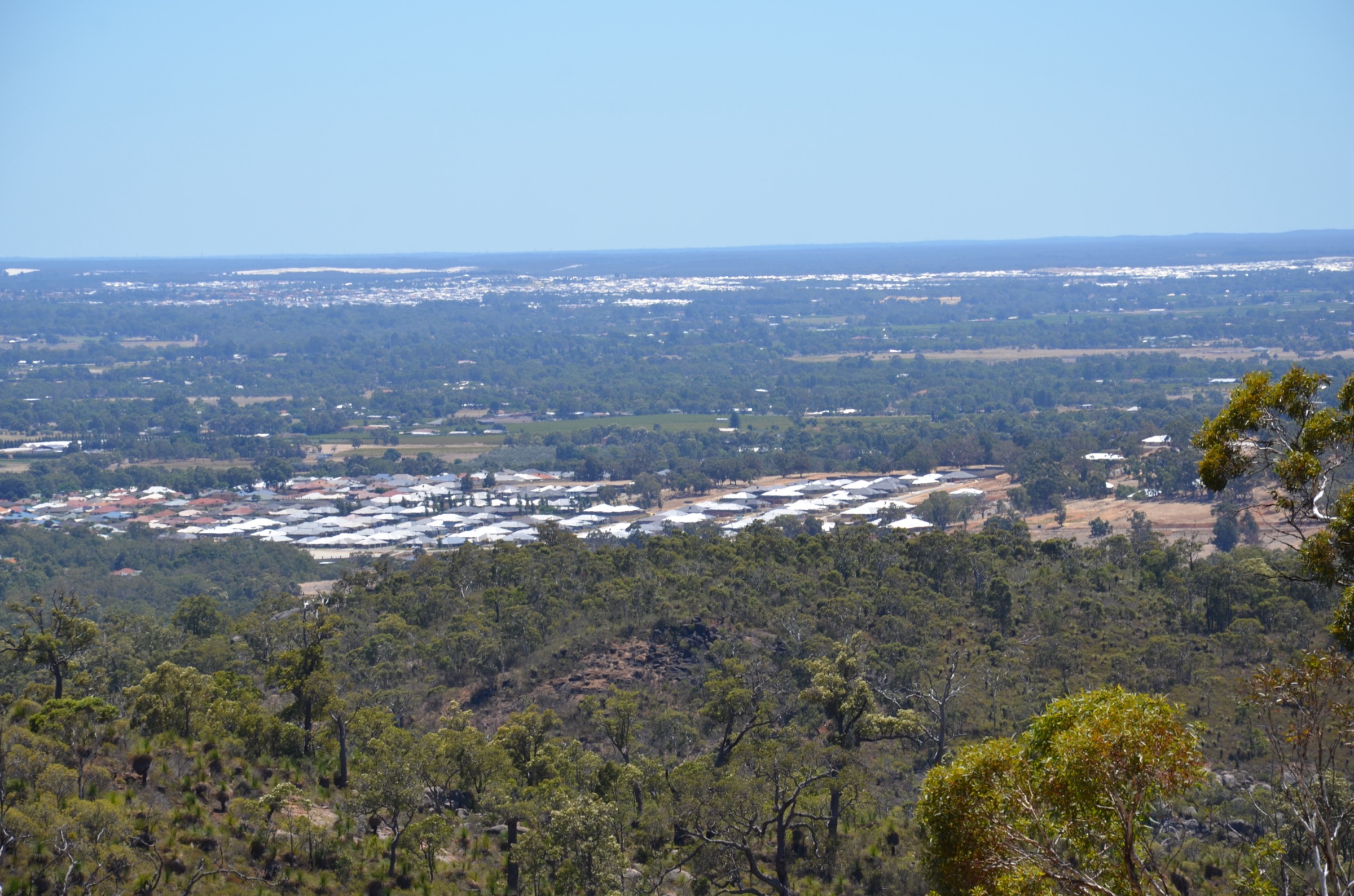
Glen Brook is the “other” side of John Forrest — an isolated northern section off Toodyay Road that is quieter and drier than the Jane Brook country around the main picnic area. From the Glen Brook Dam car park the trail is signposted anti-clockwise, climbing gently along Glen Brook to the small heritage dam and continuing through a series of granite outcrops and scenic gullies of jarrah and marri woodland. The route crosses several rock benches with occasional views over the Perth Hills, then loops back to the dam and the trailhead. A shorter inner loop of roughly 2 km stays close to the dam for parties wanting a light walk.
Why it is essential
Glen Brook is the standard granite-country short walk in John Forrest National Park and gives a very different feel from the Eagle View and Heritage Trail routes further south. The old dam adds a compact piece of Perth water-supply heritage, and the northern granite outcrops carry a distinctive spring wildflower community. For parties spending a weekend on the Darling Scarp it is the natural second-day short walk from the main picnic area.
Equipment
- Sturdy walking shoes (rocky and slippery in wet conditions)
- Sun hat and sun protection
- 1.5–2 L of water
- Warm layer in winter
- First-aid kit including snake-bite bandage
- No drones
Hazards and notes
- Rock benches can be slippery when wet.
- Snake activity through the warmer months.
- Trail closes on Total Fire Ban days.
- No water on the loop; car park has no reliable tap.
- Access road from Toodyay Road is unsealed for the last stretch — drive to conditions.
GPX / route file
| Source | URL | Format | Notes |
|---|---|---|---|
| DBCA Explore Parks WA — John Forrest National Park | exploreparks.dbca.wa.gov.au | Web page | Official route source; no direct GPX download published |
| Trails WA — Glen Brook Trail, John Forrest National Park | trailswa.com.au | Web page | Distance, grade and route cross-check |
Sources
- DBCA Explore Parks WA — John Forrest National Park
- Trails WA — Glen Brook Trail, John Forrest National Park
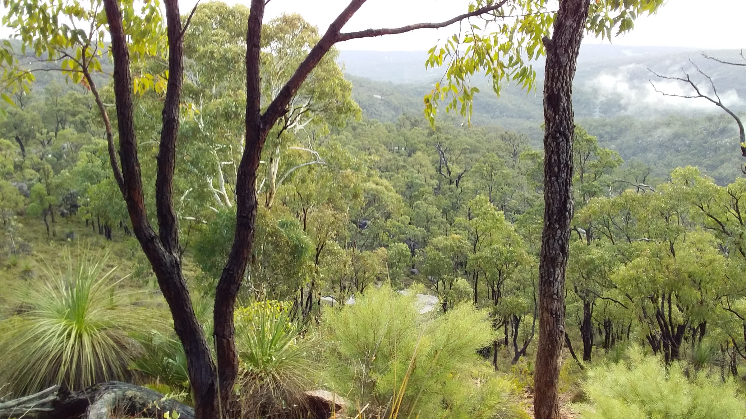
- Wikimedia Commons — John Forrest NP view to Stratton and Ellenbrook
5. Avon Valley National Park — South Side Walk
Snapshot
Itinerary
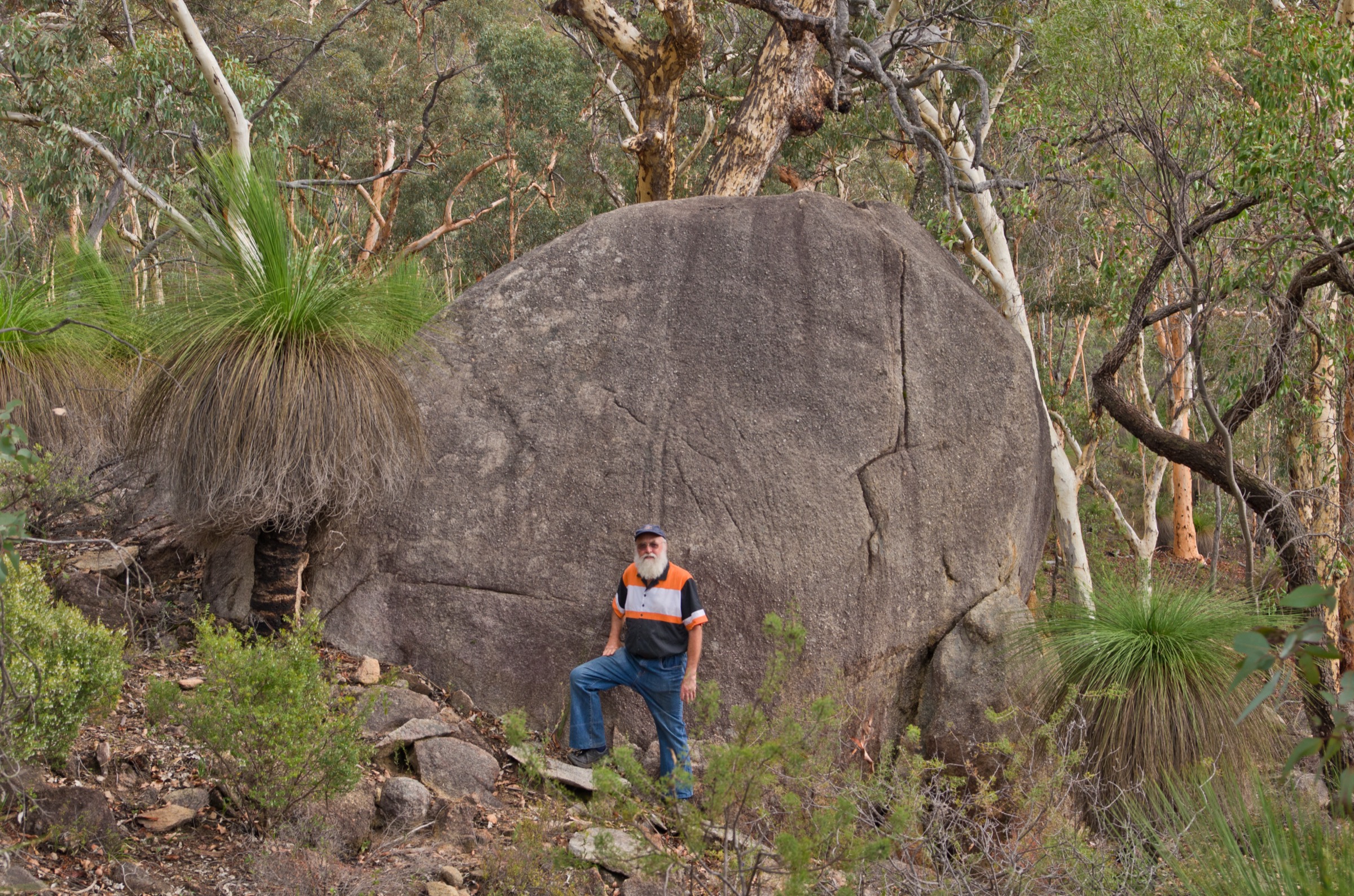
Avon Valley National Park has no signposted long day-walks; the standard recognised route is the WalkGPS “South Side Walk”, a full-day off-track circuit on the south side of the Avon River starting from Homestead Campsite. The line climbs east onto the wandoo-and-grasstree plateau, drops through a series of steep side valleys to the river bank, follows the river downstream past granite bluffs and pools, and climbs back onto the plateau for the return along a rough vehicle track and off-track ridges to Homestead Campsite. Roughly 85 % of the route is off-track through open eucalypt woodland with reasonable visibility but no marked trail; navigation is by map and GPS. Granite outcrops give occasional wide views across the valley and the wider Avon plateau. A shorter “Both Sides Walk” variant crosses the river and takes in both banks; both variants are covered on the WalkGPS park page. Homestead Campsite has basic bush facilities and no reliable drinking water — carry everything in.
Why it is essential
Avon Valley is the closest true off-track day-walking country to Perth and, for a party that has already done the Eagle View circuit at John Forrest, the natural next step. The South Side Walk gives the full character of the Avon gorge — powder-barked wandoo and grasstree ridges, steep side valleys, granite outcrop bluffs and a live river — in a single hard day, and no formed trail in the Perth Hills offers a comparable experience.
Equipment
- Sturdy boots (rocky and off-track underfoot)
- Broad-brimmed hat, sun protection
- 4 L of water minimum (no reliable water on route)
- Map, GPS with pre-loaded track, compass
- Warm and weatherproof layer
- First-aid kit including snake-bite bandage
- Personal Locator Beacon (PLB) recommended
- Headtorch for a late finish
- No drones
Hazards and notes
- Off-track navigation is the crux — do not attempt without a pre-loaded track and confident bushwalking experience.
- The northern section of the park was a Department of Defence Artillery Training Area (1958–1966) and residual unexploded ordnance risk is noted by DBCA on some tracks — stay south of signed exclusion areas.
- Snake activity spring through autumn.
- Ticks and march flies through the warmer months.
- Fully exposed sections on ridge tops.
- Trail area closes on Total Fire Ban days; wildfire history in the Avon Valley is significant.
- Cell coverage weak or absent in the gorge and side valleys.
GPX / route file
| Source | URL | Format | Notes |
|---|---|---|---|
| WalkGPS — Avon Valley National Park South Side Walk | walkgps.com.au | Web page + downloadable GPS files (paid) | Standard route source; downloadable GPX and PDF map through the WalkGPS map product |
| WalkGPS — Avon Valley National Park Both Sides Walk | walkgps.com.au | Web page | Variant covering both riverbanks |
| DBCA Explore Parks WA — Avon Valley National Park | exploreparks.dbca.wa.gov.au | Web page | Official park page and access information |
Sources
- WalkGPS — Avon Valley South Side Walk
- WalkGPS — Avon Valley Both Sides Walk
- DBCA Explore Parks WA — Avon Valley National Park
- Shire of Toodyay — Avon Valley National Park
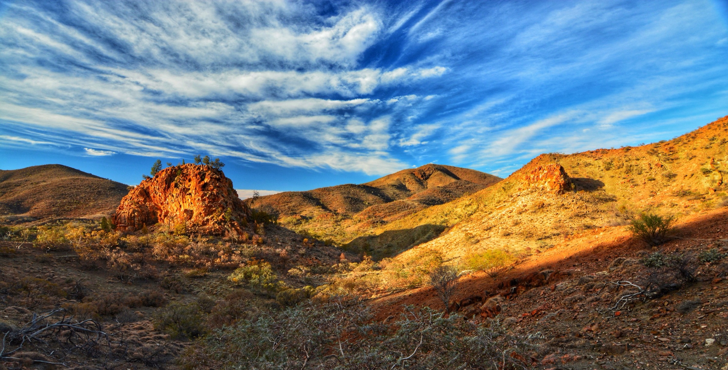
- Wikimedia Commons — Avon Valley National Park (Gnangarra)
Region-level sources
| Source | URL |
|---|---|
| DBCA Explore Parks WA — John Forrest National Park | exploreparks.dbca.wa.gov.au |
| DBCA Explore Parks WA — Avon Valley National Park | exploreparks.dbca.wa.gov.au |
| DBCA Explore Parks WA — Swan View Tunnel | exploreparks.dbca.wa.gov.au |
| Trails WA — John Forrest National Park trail network | trailswa.com.au |
| Trails WA — Railway Reserves Heritage Trail | trailswa.com.au |
| WalkGPS — Avon Valley South Side Walk | walkgps.com.au |
| Wikipedia — John Forrest National Park | en.wikipedia.org |
| Wikipedia — Avon Valley National Park | en.wikipedia.org |
| Wikipedia — Whadjuk | en.wikipedia.org |
| Wikipedia — Ballardong | en.wikipedia.org |
Further reading
Nearby Darling Range guides on Storm
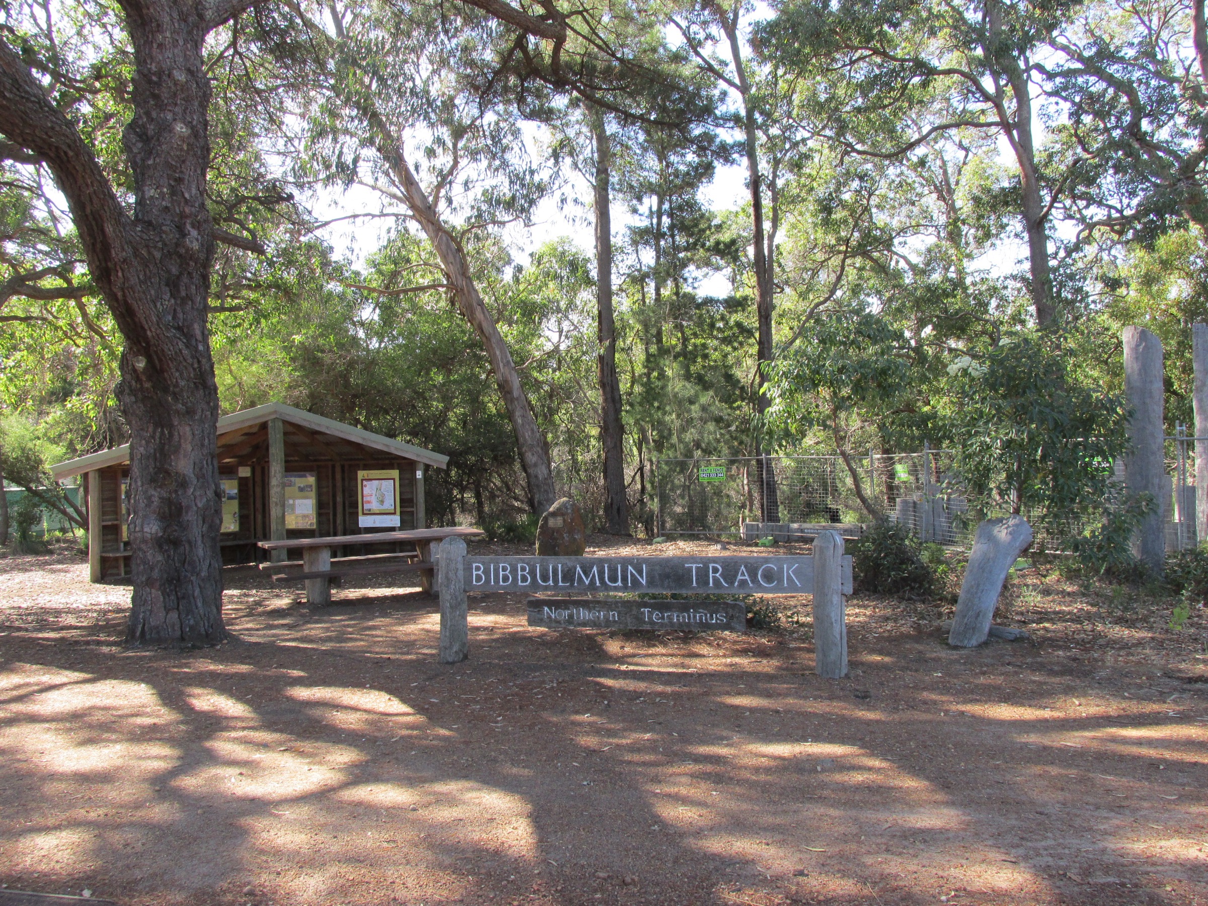
- Bibbulmun Track Northern
- Kalamunda / Mundaring
- DBCA Explore Parks WA — Avon Valley National Park
- Trails WA — Eagle View Walk, John Forrest NP
- WalkGPS — Perth-region bushwalks
- Wikipedia — Noongar
Missing data / follow-up work
- No licence-compatible photograph of the Little Eagle Walk Trail was located in this pass; the hike is described without a figure.
- DBCA and Trails WA differ on the grading of the Little Eagle Walk (Class 3 vs Class 4); the Class 3 rating from the Trails WA sub-page and Experience Perth Hills is used here, but walkers should treat the loop as at the harder end of Class 3.
- Distance for the Eagle View Walk varies across sources between 14.8 km (DBCA/Trails WA) and 15–16 km (Trail Hiking Australia, WalkGPS). The DBCA figure is used in the summary table.
- The Railway Reserves Heritage Trail is a 41 km loop through Mundaring and Bellevue of which only ~6 km lies inside John Forrest National Park; the wider loop is treated here as a separate multi-day route and is not covered as a single day-walk.
- Avon Valley National Park has no DBCA-graded long day-walks; the South Side and Both Sides walks are documented only by WalkGPS. A formal DBCA grading would strengthen the entry.
- DBCA does not publish direct GPX or KML downloads for any of the walks listed above. All route files are official web-page sources or the paid WalkGPS map product.
- Confirm current Total Fire Ban and prescribed-burn status via the DFES and DBCA alerts before travel, particularly for Avon Valley in summer.
- Avon Valley’s former Department of Defence Artillery Training Area (1958–1966) on the northern side of the park carries a residual unexploded-ordnance advisory; parties intending to walk on the north bank should verify current DBCA signage before travel.