Regional overview
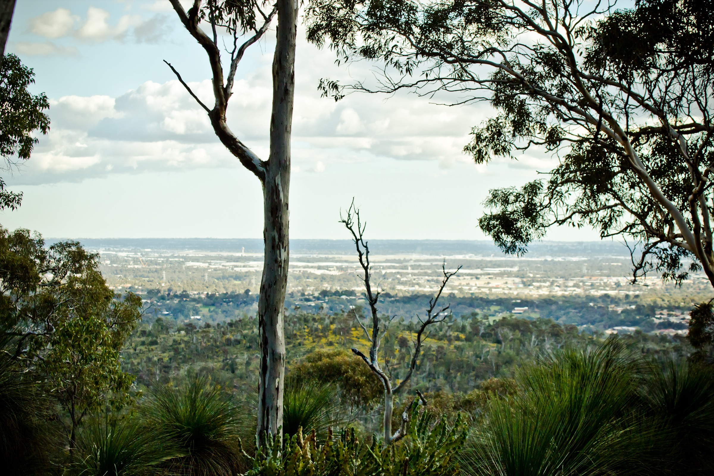
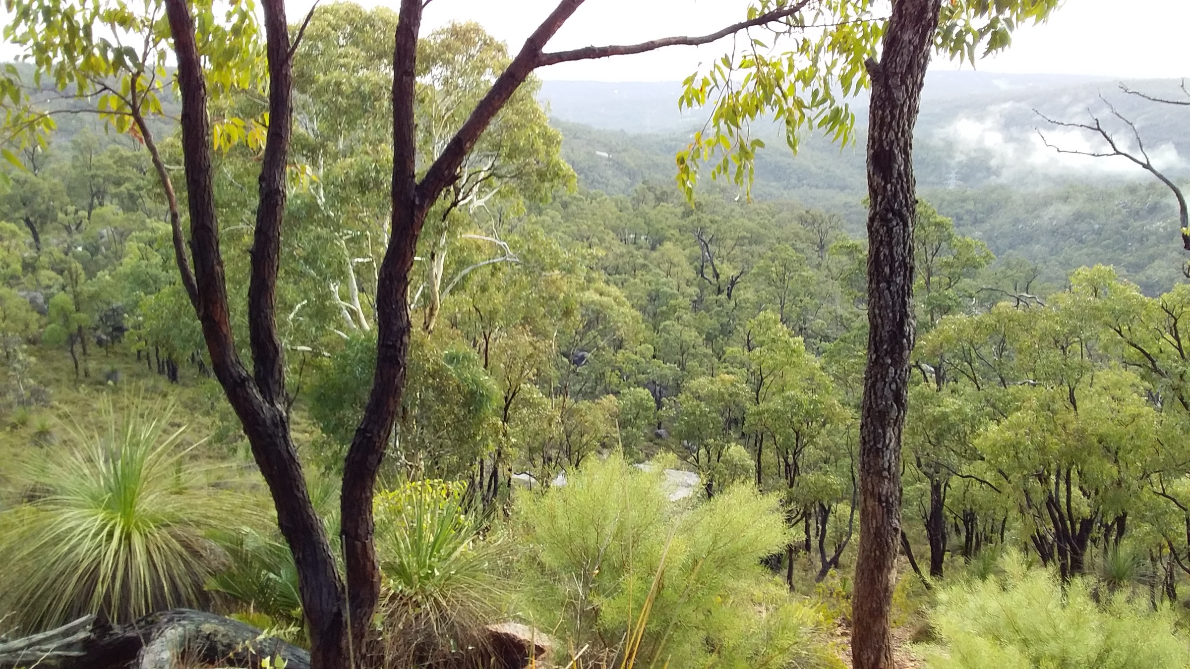
Kalamunda and Mundaring occupy the western edge of the Darling Range where the Darling Scarp rises sharply out of the Swan coastal plain about 25 km east of central Perth. The escarpment is a long faultline running north to south, capped in jarrah, marri and wandoo forest, and cut by short steep tributary valleys that drain west toward the Swan River and east into the Helena and Canning catchments. The two shires between them hold four DBCA-managed reserves relevant to walkers — Kalamunda National Park, Beelu National Park, John Forrest National Park and Greenmount National Park — plus the northern end of the Bibbulmun Track, which starts from a formal terminus in Kalamunda and runs 1,000 km south to Albany.
The country is Whadjuk Noongar and the Traditional Owners have continuing cultural connection to the Piesse Brook, Helena and Canning valleys that carry most of the walking tracks. Kalamunda’s Noongar name is often given as Cala Munnda, referring to a “home in the forest” of the Whadjuk people. Walkers are asked to keep to marked tracks and to treat the granite outcrops and pools along Piesse Brook as culturally sensitive sites.
The walking is comparatively gentle by Australian standards — the highest ground in the two shires is around 400 m and most tracks sit between 200 m and 350 m — but the terrain rewards care. Loose lateritic gravel on the descents, exposed granite slabs after rain, and long sections of unshaded tread combine with a hot, dry summer to make late spring, autumn and winter (April to October) the reliable walking season. Summer walking is possible in the cool of the morning but bushfire risk is high and DBCA total-fire-ban days close the parks entirely.
Access from central Perth is straightforward: Kalamunda town centre is 45 minutes by bus or car, and both Kalamunda and Mundaring Weir have signposted DBCA trailheads with sealed parking. Public transport reaches Kalamunda regularly, but the outer trailheads at Mundaring Weir and South Ledge require a private vehicle. Cell coverage is generally present in the town-adjacent parks but drops in the Helena valley below the weir.
Selection rationale
The five walks are chosen to give a rounded picture of day-walking in the Kalamunda–Mundaring sector across a range of distances, from a 30-minute lookout stroll to a full 20 km Bibbulmun Track day. The Rocky Pool Walk is included as the flagship short bushwalk of Kalamunda National Park and the standard introduction to the Piesse Brook granite country. The Bibbulmun Track Northern Terminus loop through Kalamunda National Park is added because Kalamunda is the northern trailhead of the Bibbulmun and the loop is the shortest way to walk a representative section of jarrah forest on the Waugal-marked track. The Camel Farm to Hewett’s Hill section is included as the standard first-day of the full Bibbulmun through-walk, treated here as an out-and-back day-hike. The Weir View Walk gives the short-loop option at Mundaring Weir and is included as the accessible family walk of the region. The Golden Helena Valley Loop rounds out the selection with a longer combined Bibbulmun and Munda Biddi trail day that samples both major long-distance corridors and delivers the Helena Valley overlook at Golden View. Reference material was verified against DBCA Explore Parks WA, Trails WA, the Bibbulmun Track Foundation section-by-section guide and Shire of Kalamunda trail pages.
Summary table
| # | Hike | Country | Route type | Distance | Gain | Max elevation | Difficulty |
|---|---|---|---|---|---|---|---|
| 1 | Rocky Pool Walk (Kalamunda NP) | Australia | Loop | ~5 km | ~150–200 m | ~290 m | Class 4 (DBCA) |
| 2 | Bibbulmun Track Northern Terminus loop (Kalamunda NP) | Australia | Loop | ~11–12 km | ~350 m | ~305 m | Class 4 (DBCA) |
| 3 | Bibbulmun Track: Camel Farm to Hewett’s Hill (return) | Australia | Out-and-back | ~10 km | ~200 m | ~310 m | Class 3–4 (DBCA) |
| 4 | Weir View Walk (Beelu NP, Mundaring Weir) | Australia | Loop | ~1.5 km | ~40 m | ~230 m | Class 2 (DBCA) |
| 5 | Golden Helena Valley Loop (Beelu NP) | Australia | Loop | ~12 km | ~350 m | ~280 m | Class 4 (DBCA) |
1. Rocky Pool Walk (Kalamunda National Park)
Snapshot
Itinerary
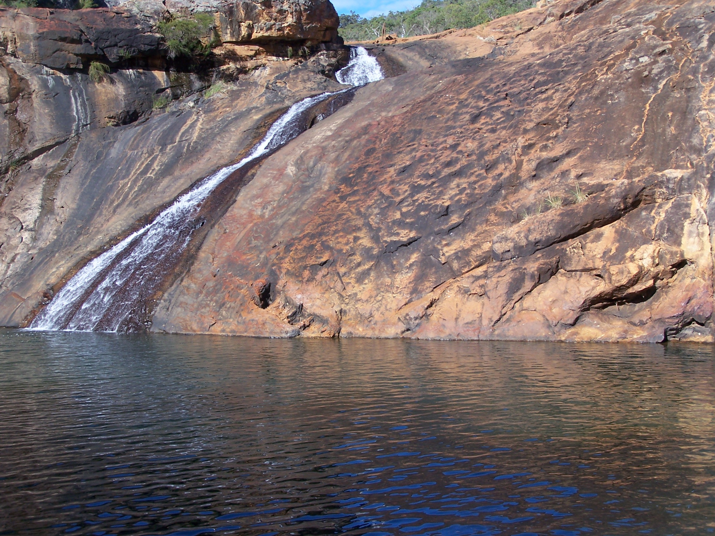
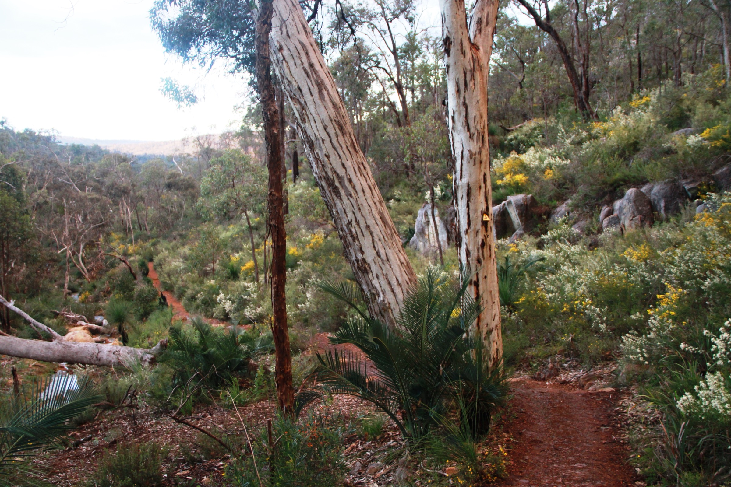
The Rocky Pool Walk leaves the Jorgensen Park car park at the top of the Darling Scarp and drops steeply on a marked track into the Piesse Brook valley below. The first kilometre descends through open jarrah–marri forest on lateritic gravel that becomes loose and slippery when dry; the track then swings north-east through a taller, damper gully of grass trees and native pine to reach the granite bed of Piesse Brook at approximately 190 m. Rocky Pool itself is a small, permanent pool held by a granite ledge and is the standard destination of the walk. The return climb follows the Bibbulmun Track Waugal markers back up the scarp on a longer, more graded line through a section of the Kalamunda National Park bushland, closing the loop at Jorgensen Park. Three sets of markers overlap along parts of the route — the blue triangles of the Shire’s own Rocky Pool signage, Shire of Kalamunda directional signage, and the Bibbulmun Track’s Waugal (rainbow serpent) markers — which can cause navigational confusion at junctions but ensure the route is always well signposted.
Why it is essential
Rocky Pool is the standard first bushwalk of the Perth Hills and the natural introduction to the Darling Scarp. It combines a steep descent, a permanent pool destination, an easy return on the Bibbulmun Track and a short-loop format in under three hours — the same combination that makes it a Perth weekend favourite. It also samples the two dominant walking styles of the region: rough-and-loose scarp descents on Shire tracks and gently graded jarrah-forest treadway on the Bibbulmun.
Equipment
- Sturdy walking shoes or light boots (loose lateritic gravel on the descent)
- Sun protection and hat
- 1.5–2 L of water
- Snake-bite bandage (dugites and tiger snakes both active spring to autumn)
- Warm layer in winter
- Map or GPS — track markers overlap and can confuse
- No swimming in the pool in the dry season when water is stagnant
Hazards and notes
- Loose gravel on the steep descent is the crux; a slip here is where most injuries occur.
- Pool water quality is not monitored; not recommended for swimming.
- Snake activity from spring through autumn.
- Bushfire risk is high in summer; check DBCA park alerts before travelling on hot days.
- The park is closed on total-fire-ban days.
GPX / route file
| Source | URL | Format | Notes |
|---|---|---|---|
| Trails WA — Rocky Pool Walk, Kalamunda | trailswa.com.au | Web page | Official route source |
| Shire of Kalamunda — Rocky Pool Walk | kalamunda.wa.gov.au | Web page | Trail managing authority |
| DBCA Explore Parks WA — Kalamunda National Park | exploreparks.dbca.wa.gov.au | Web page | Park-level source |
Sources
- Trails WA — Rocky Pool Walk, Kalamunda
- Shire of Kalamunda — Rocky Pool Walk
- DBCA Explore Parks WA — Kalamunda National Park
- Wikimedia Commons — Rocky Pool Walk Kalamunda National Park
2. Bibbulmun Track Northern Terminus loop (Kalamunda National Park)
Snapshot
Itinerary
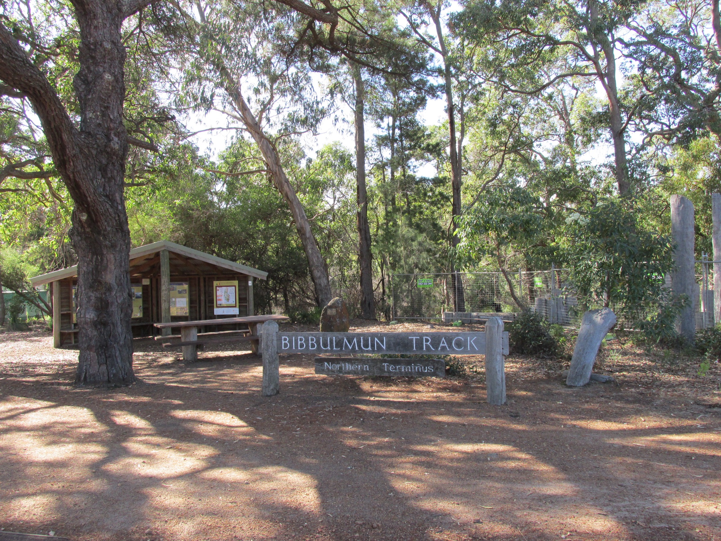
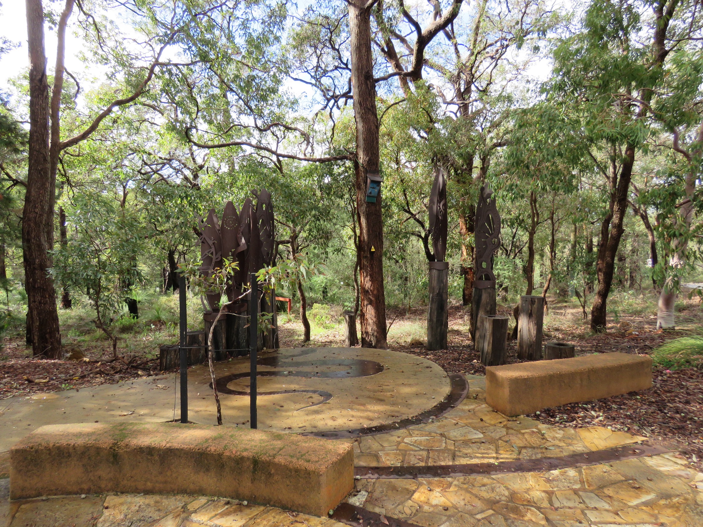
The loop begins at the Bibbulmun Track Northern Terminus in the Kalamunda town centre, a signposted timber-and-stone shelter at the Railway Road roundabout with an information board and the first Waugal marker of the 1,000 km through-track. From the terminus the route follows the Bibbulmun Track south along the old railway alignment, then east into Kalamunda National Park where the track drops off the scarp on graded switchbacks to the Piesse Brook valley. The loop then leaves the Bibbulmun at a signposted junction and climbs back to the rim on the Shire of Kalamunda park tracks and the Rocky Pool connector, returning north through the park to the terminus. The whole circuit stays in jarrah–marri forest with periodic viewpoints west across the Swan coastal plain toward Perth. The distance figure varies slightly between sources — Trails WA quotes just under 12 km; AllTrails reports about 11.6 km — because the exact loop can be closed on several parallel tracks.
Why it is essential
Kalamunda is the northern terminus of the Bibbulmun Track and no walker exploring the Perth Hills should miss the chance to start (or symbolically finish) at the trailhead marker. This loop is the shortest way to walk a representative section of the Bibbulmun Track as a day-hike without needing to arrange a shuttle. It also provides a full traverse of Kalamunda National Park’s jarrah forest and its Piesse Brook valley, combining the terminus visit with the substance of a full day out.
Equipment
- Sturdy walking shoes or light boots
- 2 L of water minimum
- Sun protection
- Snake-bite bandage
- Warm layer in winter
- Bibbulmun Track Map 1 (Kalamunda to Dwellingup) useful for the initial section
Hazards and notes
- Sections of loose gravel on the scarp descents.
- Snake activity from spring through autumn.
- Bushfire risk in summer; the park closes on total-fire-ban days.
- Junction confusion is common where three sets of markers overlap; stay with the Bibbulmun Waugal markers for the outbound section.
- Cell coverage is patchy in the Piesse Brook valley.
GPX / route file
| Source | URL | Format | Notes |
|---|---|---|---|
| Bibbulmun Track Foundation — Kalamunda | bibbulmuntrack.org.au | Web page | Official track authority |
| Bibbulmun Track Foundation — Section by Section Guide | bibbulmuntrack.org.au | Web page | Section-level distance and notes |
| Trails WA — Bibbulmun Track Northern Terminus | trailswa.com.au | Web page | Distance and grade cross-check |
Sources
- Bibbulmun Track Foundation — Kalamunda track town
- Bibbulmun Track Foundation — Section by Section Guide
- DBCA Explore Parks WA — Kalamunda National Park
- Wikimedia Commons — Bibbulmun Track Northern Terminus
3. Bibbulmun Track: Camel Farm to Hewett’s Hill (return)
Snapshot
Itinerary
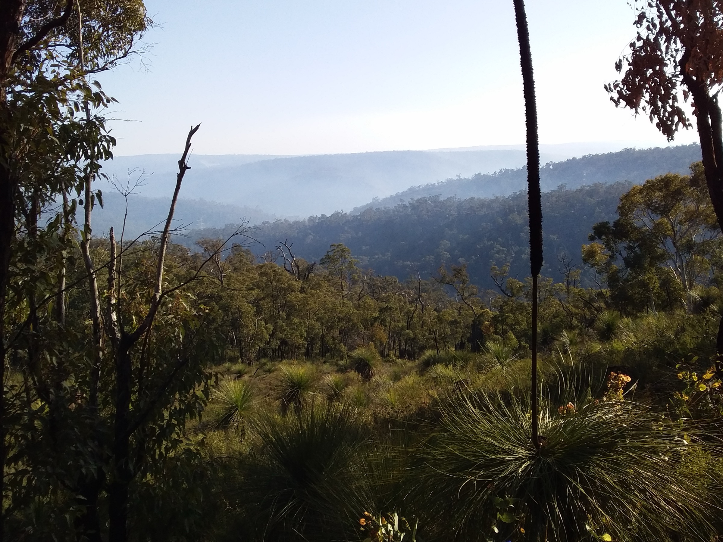
The Camel Farm start is the standard “day-hike” launch point for the first Bibbulmun Track hut, cutting off the built-up Kalamunda section and beginning directly in the jarrah forest at the edge of Kalamunda National Park. The car park sits on Paulls Valley Road opposite the Kalamunda Camel Farm and holds a signposted DBCA information shelter with the Bibbulmun Waugal marker. From the trailhead the track drops gently south through open jarrah–marri woodland, crosses a small creek in the head of Piesse Brook, and climbs steadily onto the low ridge that carries the track toward Hewett’s Hill. The Hewett’s Hill Campsite is the first shelter on the through-track and sits at approximately 310 m in a small clearing under jarrah, with a three-sided timber shelter, a water tank and a longdrop. Turnaround here for the day-hike; return is on the same line back to Camel Farm.
Walkers wanting a fuller day can start from the Bibbulmun Track Northern Terminus in Kalamunda instead, which adds about 5 km each way for a 20 km / 10.2 km-one-way total described by the Bibbulmun Track Foundation as the standard first day of the full through-walk.
Why it is essential
Hewett’s Hill is the first campsite on the Bibbulmun Track and the natural day-hike objective for anyone visiting Kalamunda who wants a taste of the through-walk without committing to an overnight. The Camel Farm variant compresses the walk into a comfortable four-hour half-day and is the standard local introduction to the Bibbulmun’s characteristic jarrah-forest walking. It is also a useful reconnaissance for section walkers planning to start the full route.
Equipment
- Sturdy walking shoes or light boots
- 2 L of water minimum (tank at Hewett’s Hill is for through-walkers; do not rely on it)
- Sun protection
- Snake-bite bandage
- Warm layer in winter
- Bibbulmun Track Map 1 (Kalamunda to Dwellingup)
Hazards and notes
- Wet-weather ruts on the descents; not slippery when dry but slick in winter.
- Snake activity from spring through autumn.
- Bushfire risk in summer; the section closes on total-fire-ban days.
- Do not take water from the Hewett’s Hill tank if through-walkers are present; it is prioritised for their use.
- Cell coverage is patchy south of Camel Farm.
GPX / route file
| Source | URL | Format | Notes |
|---|---|---|---|
| Trails WA — Bibbulmun Track, Camel Farm to Hewett’s Hill | trailswa.com.au | Web page | Official route source |
| Bibbulmun Track Foundation — Section 1 | bibbulmuntrack.org.au | Web page | Section-level distance and hut notes |
| Shire of Kalamunda — Camel Farm to Hewett’s Hill | kalamunda.wa.gov.au | Web page | Local council trail page |
Sources
- Trails WA — Bibbulmun Track, Camel Farm to Hewett’s Hill
- Bibbulmun Track Foundation — Section by Section Guide
- Shire of Kalamunda — Bibbulmun Track Camel Farm to Hewett’s Hill
- Wikimedia Commons — View from Bibbulmun Track across Kalamunda National Park
4. Weir View Walk (Beelu National Park, Mundaring Weir)
Snapshot
Itinerary
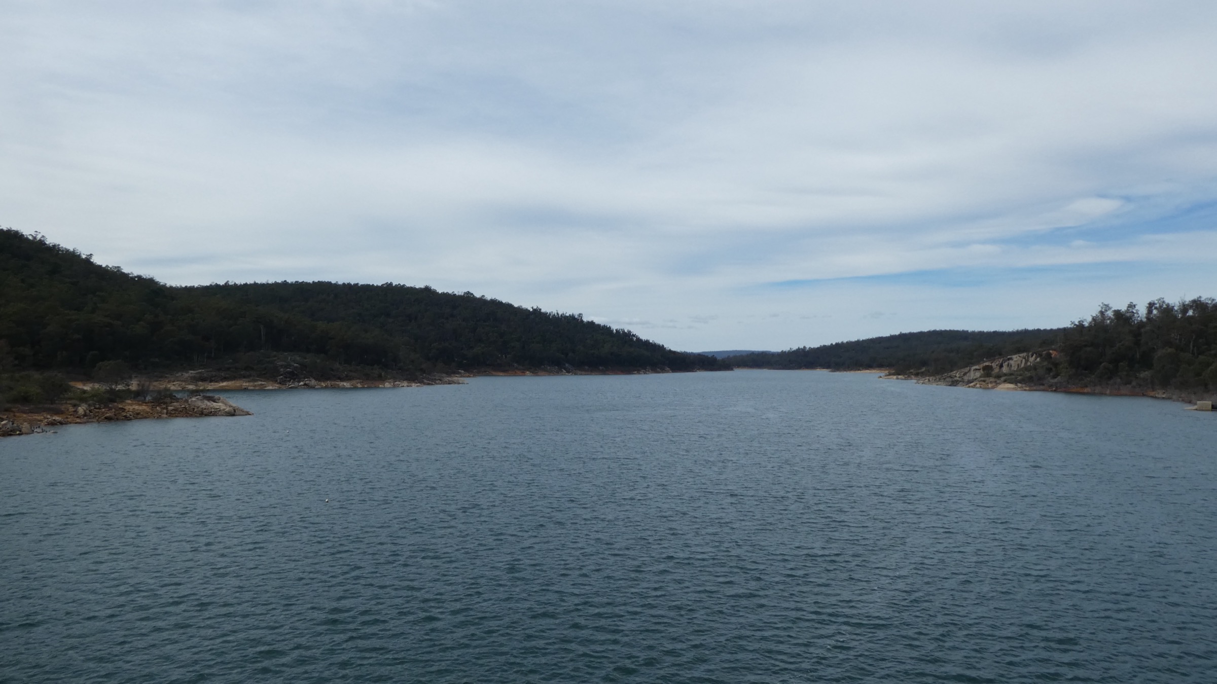
The Weir View Walk is a signposted short loop in the Mundaring Weir precinct of Beelu National Park. It leaves the main weir car park, follows a formed gravel path east through open jarrah–marri woodland and skirts the northern bank of Lake C Y O’Connor, the reservoir held by the Mundaring Weir wall. The lookout platform gives an open view down onto the weir wall and across the reservoir to the historic Mundaring Weir Hotel on the opposite ridge. From the lookout the loop returns west through the picnic area to close the circuit at the car park. Light-blue Weir View markers signpost the loop, and a series of interpretive panels describe the C Y O’Connor Goldfields Water Supply Scheme that carries water east from the weir to Kalgoorlie.
Why it is essential
Weir View is the accessible short walk of Beelu National Park and the natural pairing for any longer Bibbulmun or Munda Biddi day out of Mundaring. It gives the standard Mundaring Weir photograph and the historic context for the Goldfields pipeline — the engineering project that made walking country of Beelu possible in the first place. It is also the region’s best short walk for family groups with young children or accessibility needs.
Equipment
- Walking shoes
- Sun protection
- 500 mL–1 L water
- Warm layer on winter mornings
- No drones (Mundaring Weir is an active water-supply asset)
Hazards and notes
- Very short but exposed at the lookout; watch children at the platform edge.
- Cell coverage is present.
- Weir precinct roads are shared with tourist traffic — take care crossing.
- Bushfire risk in summer; total-fire-ban day closures apply.
GPX / route file
| Source | URL | Format | Notes |
|---|---|---|---|
| DBCA Explore Parks WA — Beelu National Park | exploreparks.dbca.wa.gov.au | Web page | Official route source; no direct GPX download |
| DBCA — Beelu National Park visitor guide (PDF) | exploreparks.dbca.wa.gov.au | Map of Weir View Walk and other short loops |
Sources
- DBCA Explore Parks WA — Beelu National Park
- DBCA — Beelu National Park visitor guide (PDF)
- Wikimedia Commons — Lake O’Connor (Mundaring Weir Wall POV)
5. Golden Helena Valley Loop (Beelu National Park)
Snapshot
Itinerary
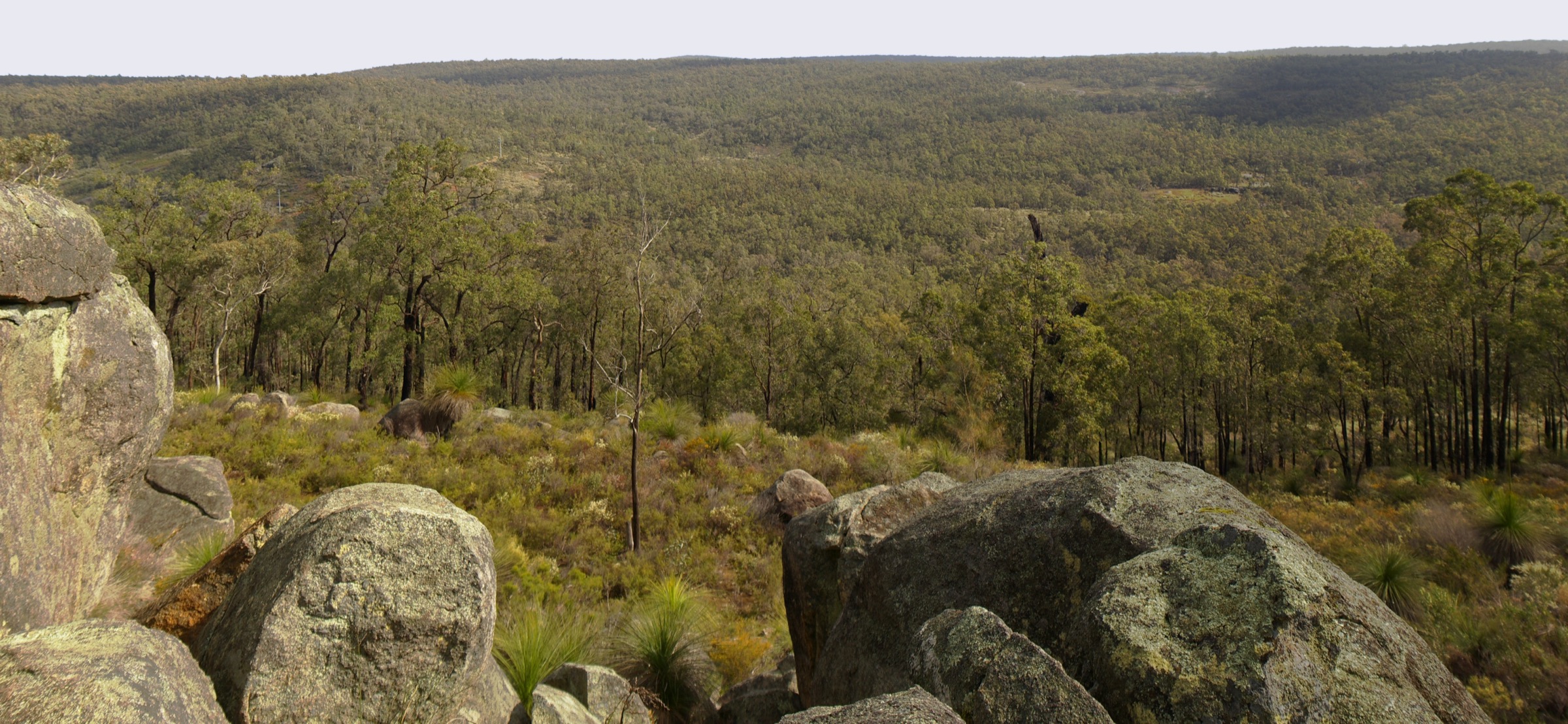
The Golden Helena Valley Loop is the standard long day-walk of Beelu National Park and links the two big long-distance corridors of the Perth Hills — the Bibbulmun Track and the Munda Biddi Trail — into a single circuit above Mundaring Weir. From the South Ledge picnic area the route follows the Bibbulmun Track (Waugal markers) south and east along the ridge toward the Golden View Lookout, a rocky platform above the Helena Valley with the outlook that gives the walk its name. From Golden View the loop drops to the valley floor, crosses on a signposted Munda Biddi link and climbs back to South Ledge on the Munda Biddi Trail (green cyclist markers). Walkers on the Munda Biddi section must give way to cyclists — the trail is a designated mountain-bike track. Highlights on the ridge include the Golden View Lookout itself, wildflower verges in spring, and the return view of Lake C Y O’Connor and the weir wall from South Ledge. Most walkers do the loop anti-clockwise so that the Golden View viewpoint is saved for the closing kilometres.
Why it is essential
The Golden Helena Valley Loop is the definitive full-day walk of the Mundaring sector and the only local route that combines both Bibbulmun and Munda Biddi tread on a single day. It is also the region’s best wildflower walk in spring and the longest walk in the selection that stays on formed, signposted trail throughout.
Equipment
- Sturdy boots
- 2.5–3 L of water minimum (no water on route)
- Sun protection and hat
- Snake-bite bandage
- Warm layer for exposed ridge sections
- Bibbulmun Track Map 1 and/or Munda Biddi Map 1
- High-visibility clothing on the Munda Biddi section (fast cyclists)
Hazards and notes
- Shared use with cyclists on the Munda Biddi section; walkers give way and stay left.
- Snake activity from spring through autumn.
- Bushfire risk in summer; total-fire-ban day closures apply.
- Some steep pinch climbs on the ridge; less-experienced walkers should allow the full 4.5 hours.
- Cell coverage is patchy in the Helena Valley.
GPX / route file
| Source | URL | Format | Notes |
|---|---|---|---|
| DBCA Explore Parks WA — South Ledge and Golden View Lookout | exploreparks.dbca.wa.gov.au | Web page | Official trailhead source |
| DBCA Explore Parks WA — Beelu National Park | exploreparks.dbca.wa.gov.au | Web page | Park-level source |
| Bibbulmun Track Foundation — Section 1 | bibbulmuntrack.org.au | Web page | Bibbulmun ridge section notes |
Sources
- DBCA Explore Parks WA — South Ledge and Golden View Lookout
- DBCA Explore Parks WA — Beelu National Park
- Bibbulmun Track Foundation — Section by Section Guide
- Wikimedia Commons — Helena valley
Region-level sources
| Source | URL |
|---|---|
| DBCA Explore Parks WA — Kalamunda National Park | exploreparks.dbca.wa.gov.au |
| DBCA Explore Parks WA — Beelu National Park | exploreparks.dbca.wa.gov.au |
| DBCA Explore Parks WA — South Ledge and Golden View Lookout | exploreparks.dbca.wa.gov.au |
| DBCA — Beelu National Park visitor guide (PDF) | exploreparks.dbca.wa.gov.au |
| Bibbulmun Track Foundation — Kalamunda track town | bibbulmuntrack.org.au |
| Bibbulmun Track Foundation — Section by Section Guide | bibbulmuntrack.org.au |
| Trails WA — Rocky Pool Walk, Kalamunda | trailswa.com.au |
| Trails WA — Bibbulmun Track, Camel Farm to Hewett’s Hill | trailswa.com.au |
| Shire of Kalamunda — Walk trails | kalamunda.wa.gov.au |
| Wikipedia — Bibbulmun Track | en.wikipedia.org |
| Wikipedia — Kalamunda National Park | en.wikipedia.org |
| Wikipedia — Beelu National Park | en.wikipedia.org |
Further reading
Nearby Darling Range guides on Storm
- Bibbulmun Track Northern
- John Forrest / Avon Valley
- Bibbulmun Track Foundation — planning a day-walk
- Munda Biddi Trail Foundation
- Wikipedia — Whadjuk (Noongar people)
- Wikipedia — Darling Scarp
Missing data / follow-up work
- John Forrest National Park (Australia’s oldest national park, immediately north of Mundaring) and Greenmount National Park are both within the Kalamunda–Mundaring region but were excluded from the main selection to keep the day-walk set to five. The Eagle View Walk in John Forrest is a strong candidate for a future expansion of this article.
- Elevation-gain figures for the Rocky Pool Walk and the two Bibbulmun day-hikes vary between sources; the figures given here are consistent with Trails WA and DBCA data but are approximate. Confirm against your own device on the day.
- DBCA does not publish direct GPX or KML downloads for any of the walks listed above. The Bibbulmun Track Foundation sells detailed paper and digital section maps that include the Kalamunda–Hewett’s Hill and South Ledge sections.
- Total-fire-ban day closures apply to all five walks in summer — always check DBCA park alerts and the local council fire-danger rating before travel.
- The Rocky Pool Walk figure and the Bibbulmun Northern Terminus loop distance are the most commonly disputed numbers between sources (5 km vs closer to 6 km for Rocky Pool; 11.6 km to 12 km for the Northern Terminus loop). The higher figures should be used for time planning.