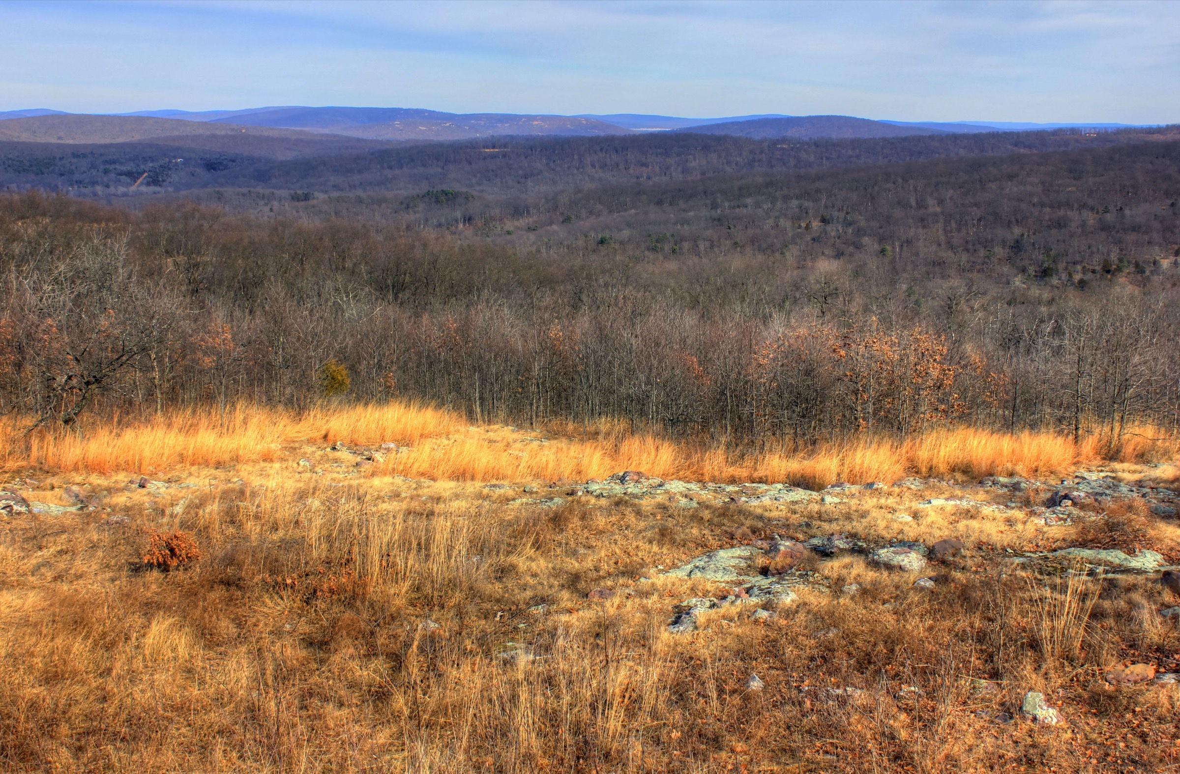
Regional overview
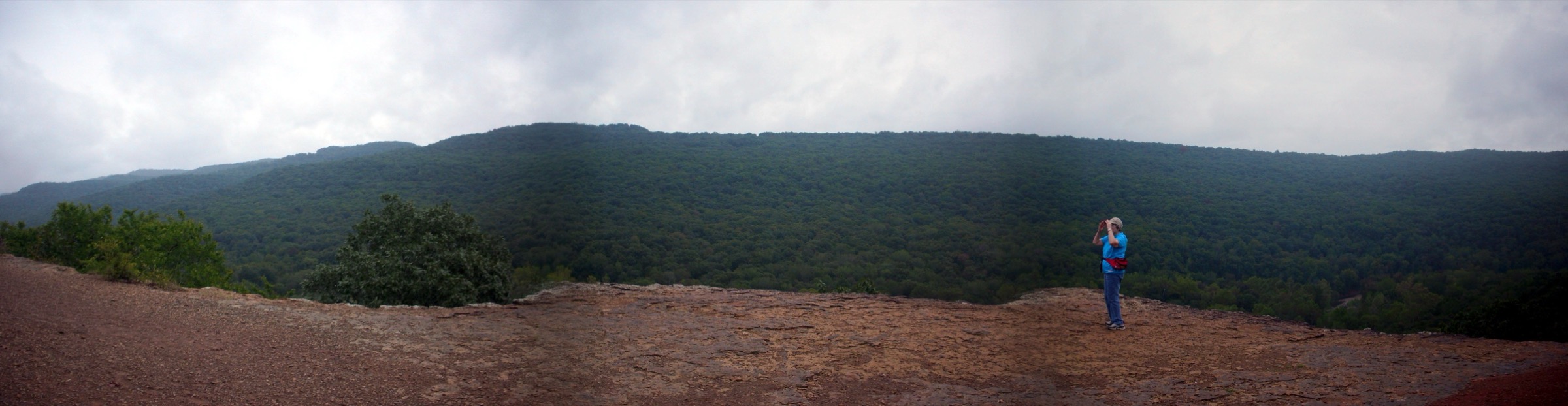
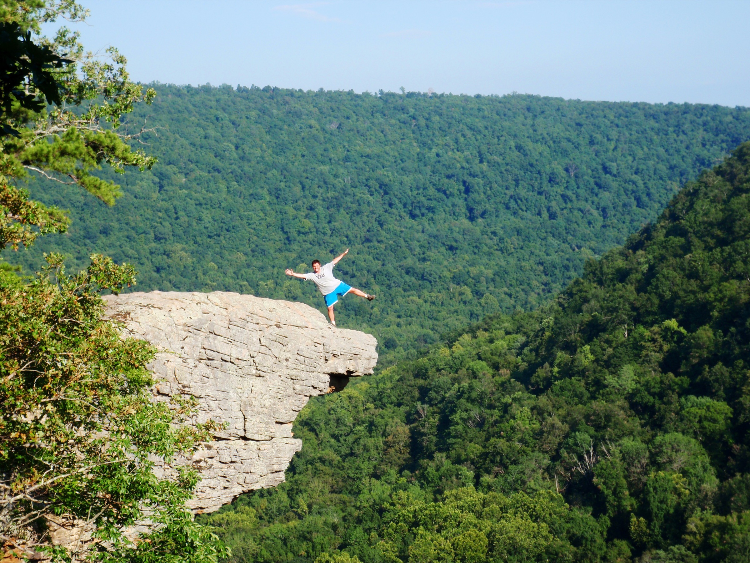
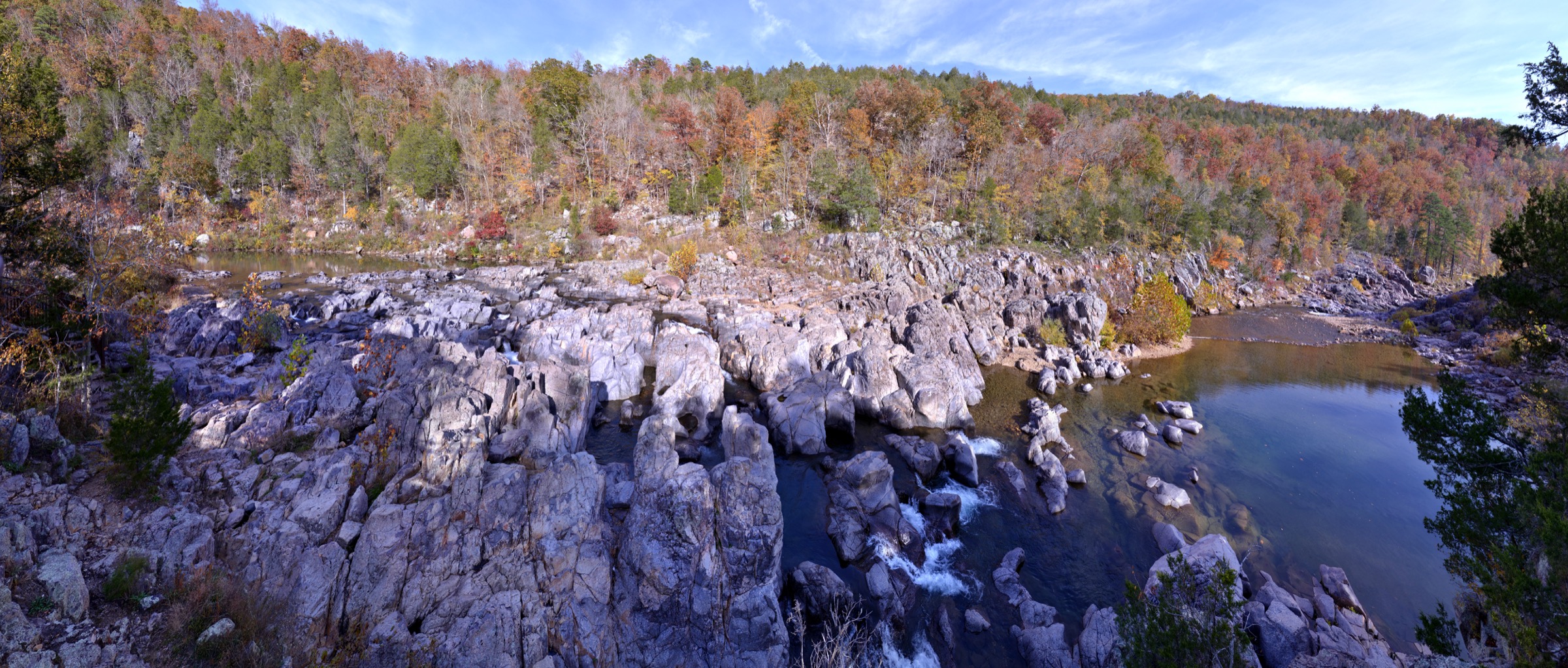
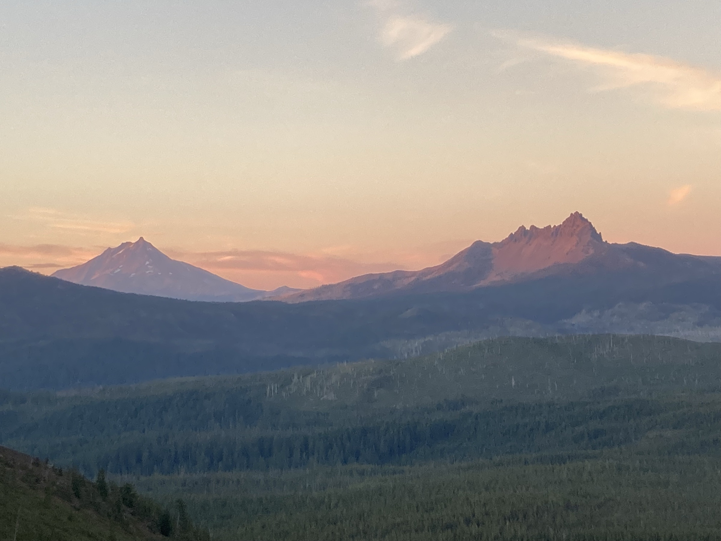
The Missouri Ozarks are lower than the western mountain ranges but genuinely rugged, especially in the St. Francois Mountains and the dissected karst / glade country farther south and east. Essential day-hikes here are defined by Precambrian rhyolite and granite knobs, rocky glades, shut-ins, springs, sinkholes, natural bridges, bluff-top ruins and forested wilderness loops.
Official source coverage is uneven but generally strong. Missouri State Parks trail-detail PDFs verified key facts for Mina Sauk Falls and Ha Ha Tonka. Mark Twain National Forest pages verified Bell Mountain and the Hercules-Glades trail systems. Missouri Department of Conservation verified Pickle Springs Natural Area, its map, access and regulations, though exact trail distance remains secondary.
See also: St Francois Mountains, Missouri day-hikes · Buffalo National River, Arkansas day-hikes.
Selection rationale
The five hikes cover the Missouri Ozarks’ core day-hike vocabulary: Mina Sauk Falls for the state high point and tallest waterfall, Bell Mountain for the St. Francois wilderness summit / glade experience, Pickle Springs for sandstone box canyons and relict flora, Hercules Glades for limestone glades and Long Creek Falls, and Ha Ha Tonka for a compact karst / cultural loop of spring, natural bridge, sinkhole, bluffs and castle ruins.
Summary table
| # | Hike | Country | Route type | Distance | Gain | Max elevation | Difficulty |
|---|---|---|---|---|---|---|---|
| 1 | Mina Sauk Falls Trail | USA | Loop | 4.7 km | Not listed | 540 m | Rugged / strenuous |
| 2 | Bell Mountain Wilderness Trail | USA | Wilderness loop | 19.2 km | Not verified | 519 m | Moderate |
| 3 | Pickle Springs Trail Through Time | USA | Loop | ~3.2 km | Not verified | Not verified | Moderate |
| 4 | Hercules Glades / Long Creek Falls from Blair Ridge | USA | Out-and-back / loop option | ~8–11 km | Not verified | Not verified | Moderate–Hard |
| 5 | Ha Ha Tonka Spring, Colosseum and Castle loop | USA | Linked loops | ~3.9–4.8 km | Not verified | Not verified | Moderate to rugged |
1. Mina Sauk Falls Trail
Snapshot
Itinerary
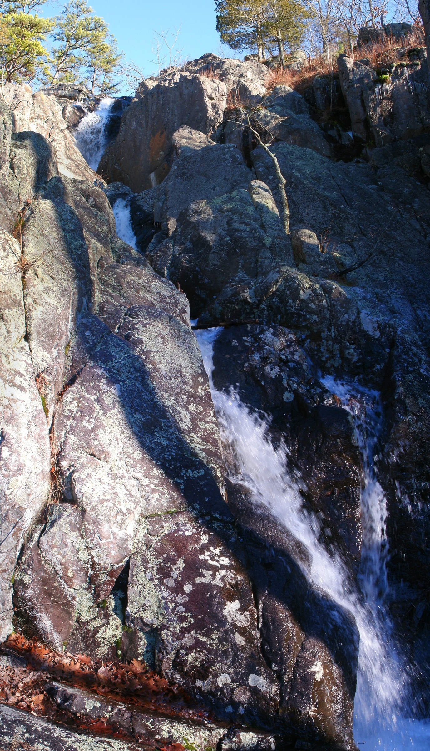
From the parking area, follow the short accessible path to Missouri’s high point at 1,772 ft. Continue beyond the high point on the red-blazed Mina Sauk Falls Trail, which becomes rocky and rugged through oak-hickory woods and open glades, past the top of Mina Sauk Falls, and up a rugged climb back to the trailhead. The Taum Sauk Section of the Ozark Trail shares this route for about 1 mile before continuing down-valley.
Why it is essential
The single most symbolic Missouri Ozarks hike: the state high point and the state’s tallest waterfall on one short but rugged loop.
Equipment
- Hiking shoes with good grip
- Water; sun / rain protection
- Insect repellent
- Trekking poles if useful
- Offline map
Hazards and notes
- Natural surfaces; shifting or slippery rock; roots and downed vegetation.
- Steep grades over 10 percent; bluffs and drop-offs; unbridged crossings.
- Mina Sauk Falls is a wet-weather waterfall — flows best after rain.
GPX / route file
| Source | URL | Format | Notes |
|---|---|---|---|
| Missouri State Parks — Mina Sauk Falls Trail details PDF | mostateparks.com | Official PDF trail sheet | Use for route facts; not a GPX |
| Missouri State Parks — Mina Sauk Falls Trail map PDF | mostateparks.com | Official PDF map | Source map; no coordinate sequence extracted |
| OpenStreetMap search | openstreetmap.org | Source map | Reusable only under ODbL terms with attribution/share-alike |
Sources
2. Bell Mountain Wilderness Trail
Snapshot
Itinerary
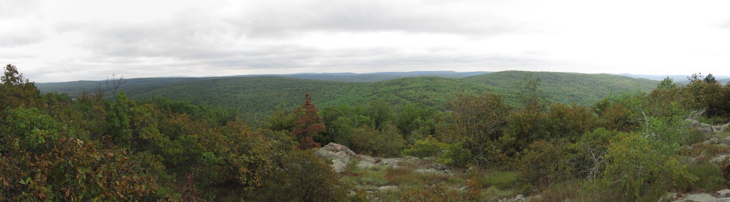
Enter Bell Mountain Wilderness from North Bell or Ottery Creek. The official Forest Service page notes that the north and south-western trailheads connect with loops crossing the mountain’s summit and slope, letting hikers choose length and intensity. A full day route should include the Bell Mountain summit / glade viewpoints and return by the established wilderness trail network.
Why it is essential
Bell Mountain is the classic Mark Twain National Forest wilderness summit hike — rhyolite / glade terrain, old mountain ecology and some of the best views in the Missouri Ozarks.
Equipment
- Sturdy hiking shoes
- Map and compass; offline map
- Water; food
- Sun / rain protection; insect repellent
- High-visibility orange in hunting season
Hazards and notes
- Limited trail marking; native / unsurfaced trail; 10–12 percent average grades in places.
- No restrooms, no potable water, no fees at trailheads.
- Dogs allowed with control on trails; leash required in developed / day-use areas.
- Wilderness group-size limit of 10.
GPX / route file
| Source | URL | Format | Notes |
|---|---|---|---|
| U.S. Forest Service — Bell Mountain Wilderness | fs.usda.gov | Official trail / wilderness page | Use for length, access, restrictions and hazards |
| Avenza — trail-system map reference | avenzamaps.com | Map app referenced by USFS | Candidate source map only |
| OpenStreetMap search | openstreetmap.org | Source map | Reusable only under ODbL terms with attribution/share-alike |
Sources
3. Pickle Springs Trail Through Time
Snapshot
Itinerary
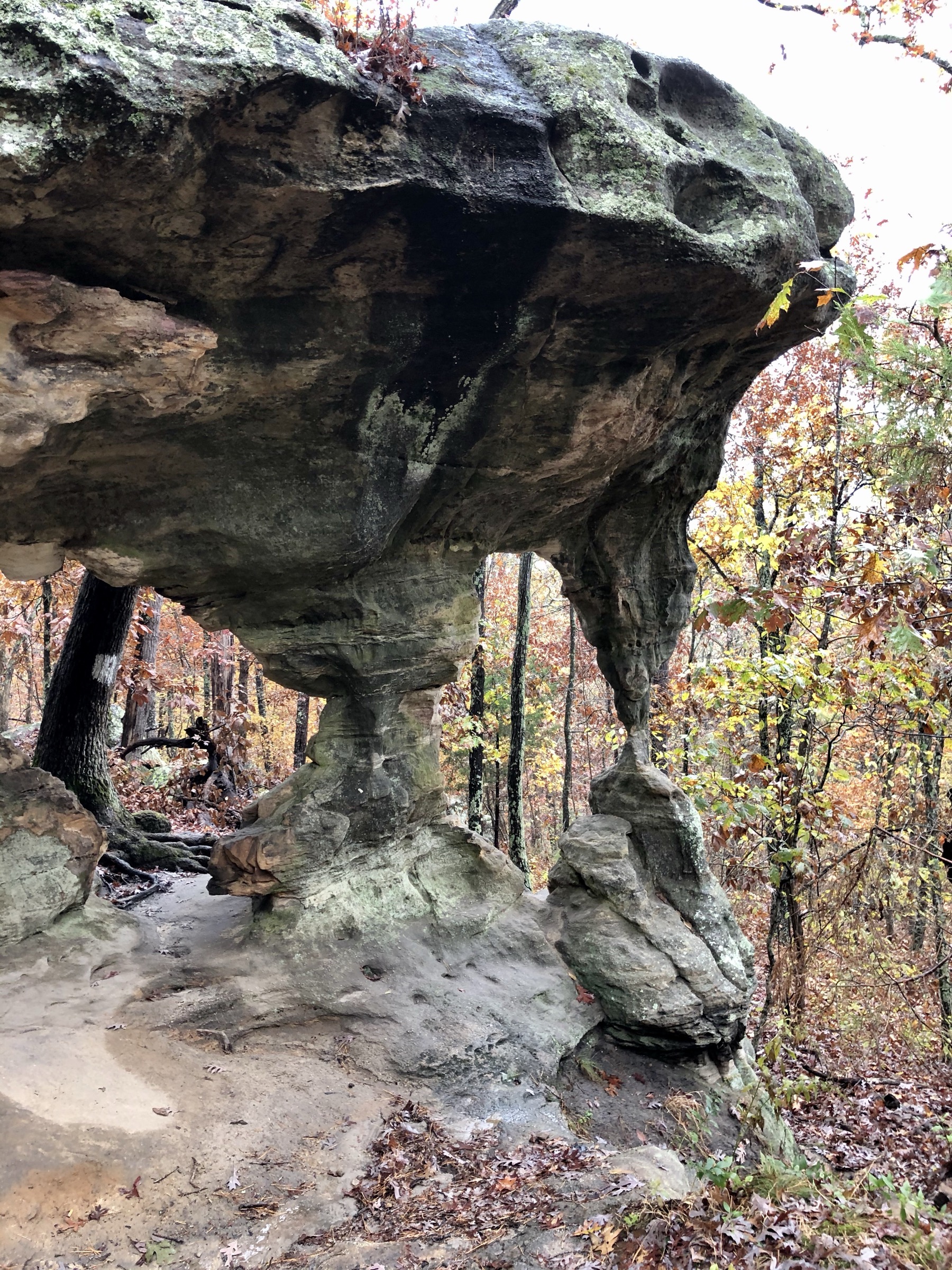
Follow the signed Trail Through Time loop through Pickle Springs. MDC describes the site as a geological wonderland with scenic waterfalls, cool box canyons, sandstone valleys and over 250 vascular plant species including glacial relicts. The official area map labels the Trail Through Time, parking lot, hiking trail, forest and natural area boundary.
Why it is essential
Pickle Springs is one of the Missouri Ozarks’ most concentrated sandstone canyon hikes — short, botanically important, geologically distinctive and very different from the St. Francois rhyolite routes.
Equipment
- Hiking shoes
- Water; insect repellent
- Sun / rain protection
- Care around slickrock and narrow passages
Hazards and notes
- Area is open 4:00 a.m. to 10:00 p.m. daily.
- Pets and hunting dogs are permitted but must be leashed or confined; camping prohibited.
- MDC gallery images are restricted to MDC use; use Commons-licensed photos only for reuse.
GPX / route file
| Source | URL | Format | Notes |
|---|---|---|---|
| MDC — Pickle Springs Natural Area | mdc.mo.gov | Official area page | Access, regulations, features |
| MDC — Pickle Springs area map PDF | mdc.mo.gov | Official PDF map | Source map only; not a GPX |
| OpenStreetMap search | openstreetmap.org | Source map | Reusable only under ODbL terms with attribution/share-alike |
Sources
4. Hercules Glades / Long Creek Falls from Blair Ridge
Snapshot
Itinerary
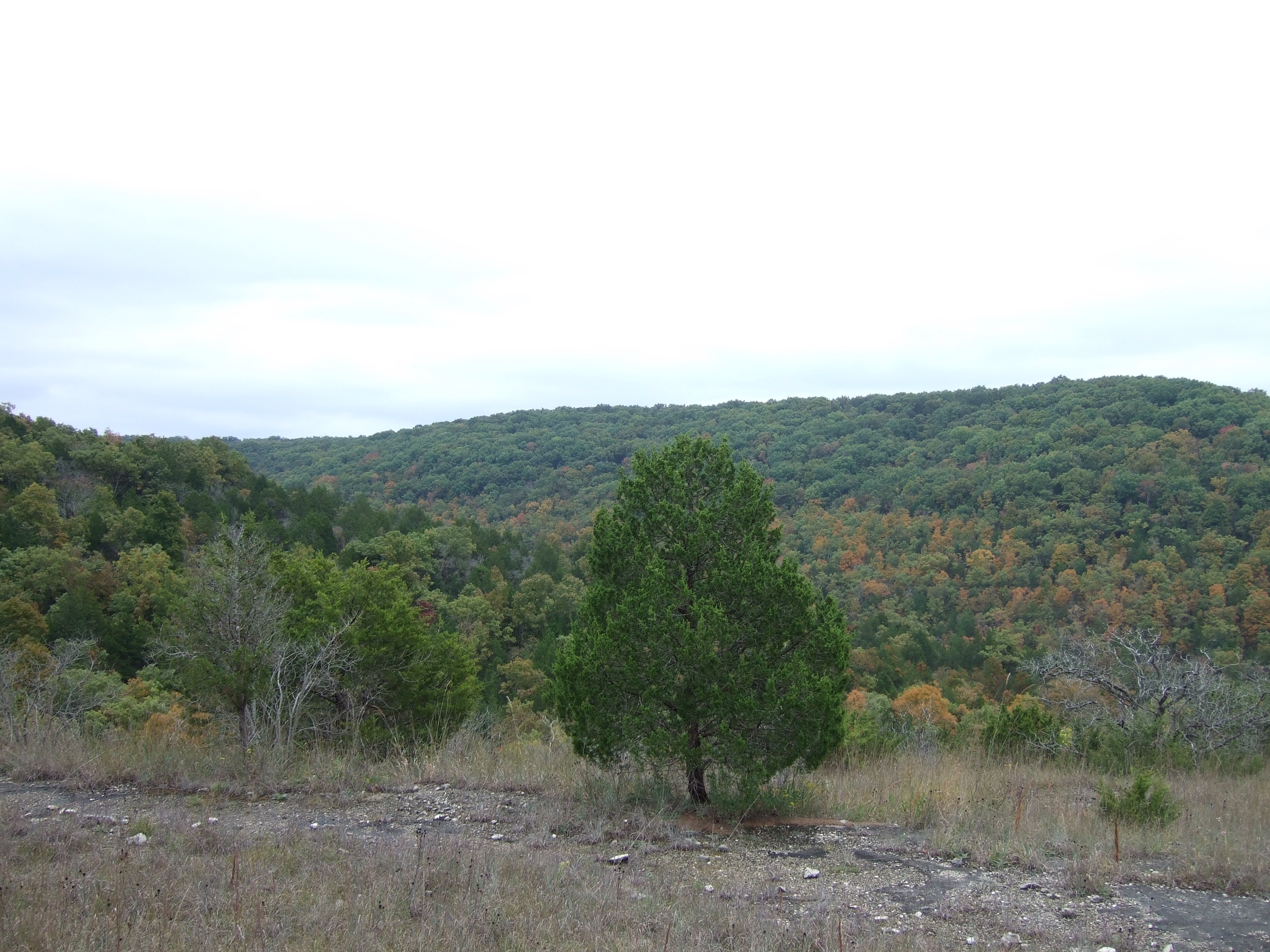
From Blair Ridge Trailhead, use Blair Ridge Trail to connect with Long Creek Trail, the corridor that leads to Long Creek Falls. USFS-listed attractions include the falls, panoramic Ozark views, limestone glades and mixed forest communities. Return the same way for the simplest day, or use connected trails with a reliable map and enough daylight.
Why it is essential
Hercules Glades is the essential southern-Missouri glade-and-waterfall wilderness day — open limestone glades, dry knobs, Long Creek cascades and a more primitive feel than the state-park hikes.
Equipment
- Map and compass; offline map
- Hiking shoes; sun protection
- Extra water; water treatment if relying on creeks
- Insect repellent; first-aid kit
- High-visibility orange in hunting season
Hazards and notes
- Trails not well marked; no bridges across streams; steep sections and creek crossings.
- No potable water; treat all open water.
- Dogs allowed on leash; no trailhead fees.
GPX / route file
| Source | URL | Format | Notes |
|---|---|---|---|
| U.S. Forest Service — Hercules-Glades Wilderness | fs.usda.gov | Official trail / wilderness page | Trail components, access, hazards |
| Avenza — trail-system map reference | avenzamaps.com | Map app referenced by USFS | Candidate source map only |
| OpenStreetMap search | openstreetmap.org | Source map | Reusable only under ODbL terms with attribution/share-alike |
Sources
5. Ha Ha Tonka Spring, Colosseum and Castle loop
Snapshot
Itinerary
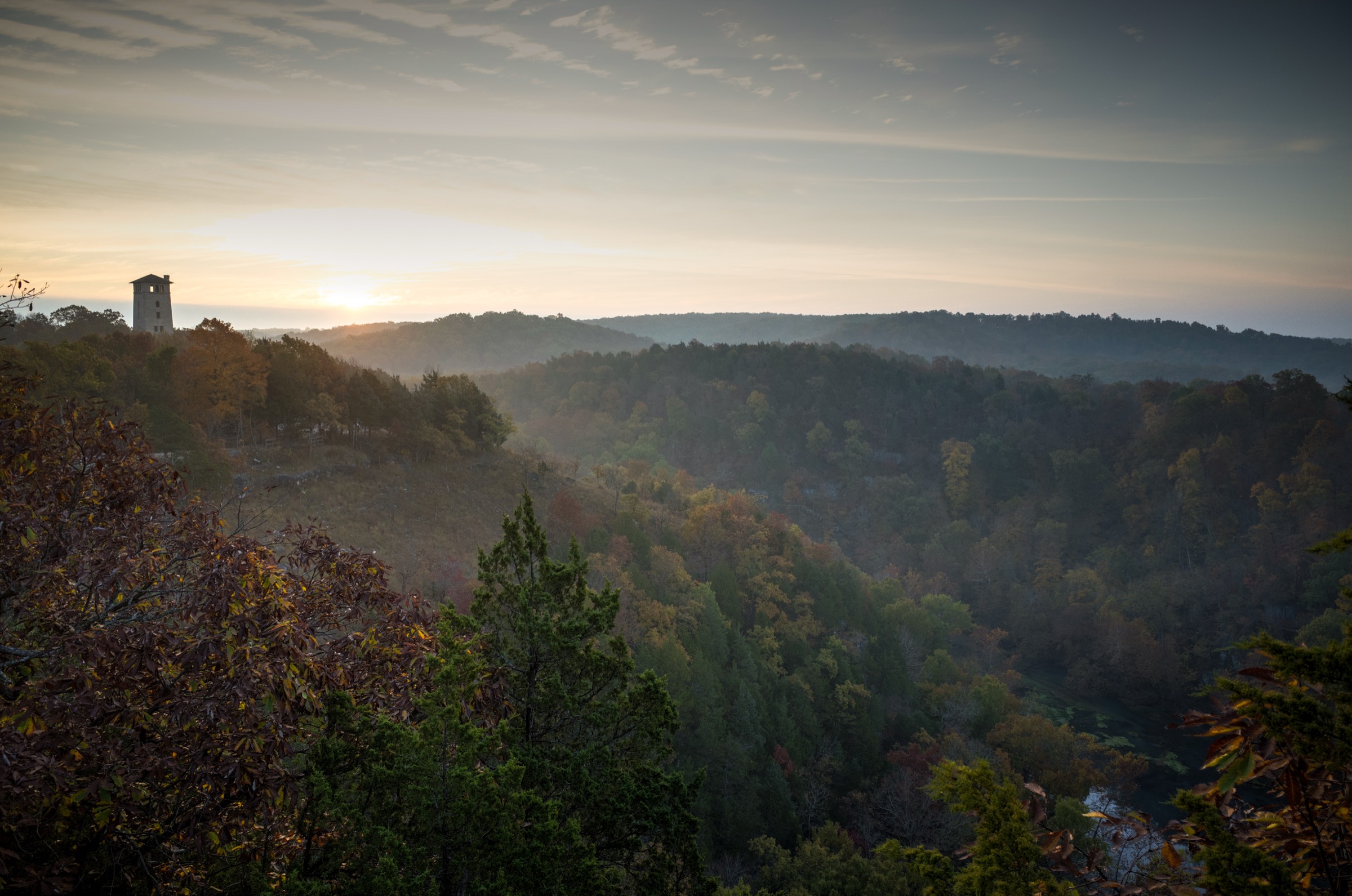
Start with Spring Trail along the Lake of the Ozarks shoreline and Ha Ha Tonka Spring — old gristmill site, boardwalk, spring overlook, water-filled cave, and the spring’s average flow of 58 million gallons per day. Climb the 316 wooden steps and link toward the castle area, using Castle Trail for the ruins and lake overlooks. Add Colosseum Trail to pass under the natural bridge, through the large sinkhole and across the top of the natural bridge before returning by the connected trail system.
Why it is essential
Ha Ha Tonka is the Missouri Ozarks’ most compact combination of karst geology and cultural history — major spring, natural bridge, sinkhole, sheer bluffs, lake views and castle ruins in a single short day-hike.
Equipment
- Comfortable hiking shoes
- Water; sun / rain protection
- Traction — or avoidance — in icy conditions
Hazards and notes
- Steep grades over 10 percent; bluffs and drop-offs; wood or stone steps.
- Colosseum Trail is rated rugged: steep sinkhole terrain, bridges and structural crossings, bluff / drop-off hazards.
- Stay on signed trails and away from closed ruins or edges.
GPX / route file
| Source | URL | Format | Notes |
|---|---|---|---|
| Missouri State Parks — Spring Trail details PDF | mostateparks.com | Official PDF trail sheet | Component facts; not a GPX |
| Missouri State Parks — Colosseum Trail details PDF | mostateparks.com | Official PDF trail sheet | Component facts; not a GPX |
| Missouri State Parks — Castle Trail details PDF | mostateparks.com | Official PDF trail sheet | Component facts; not a GPX |
| OpenStreetMap search | openstreetmap.org | Source map | Reusable only under ODbL terms with attribution/share-alike |
Sources
Further reading
- Missouri State Parks — Taum Sauk Mountain State Park
- U.S. Forest Service — Bell Mountain Wilderness
- MDC — Pickle Springs Natural Area
- U.S. Forest Service — Hercules-Glades Wilderness
- Missouri State Parks — Ha Ha Tonka State Park
Missing data / follow-up work
- Replace Pickle Springs distance / gain with official or measured values if MDC publishes a trail-detail sheet.
- Create or retrieve legal route geometry for all five hikes — no official GPX / KML was found in this pass.
- Verify total elevation gain and loss and max elevation for Bell Mountain, Pickle Springs, Hercules Glades and the combined Ha Ha Tonka loop.
- Public transport was not verified for any trailhead.