Regional overview
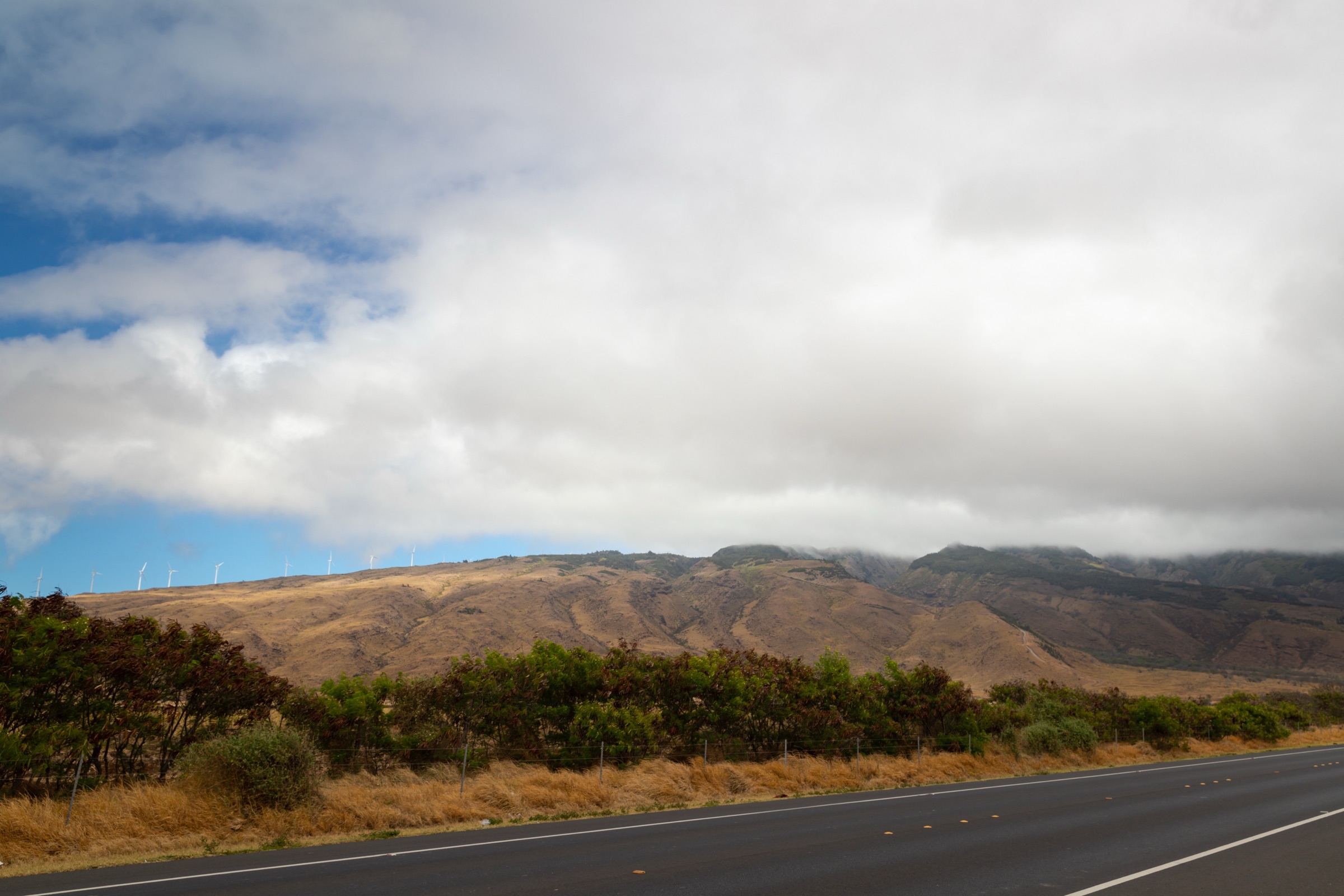
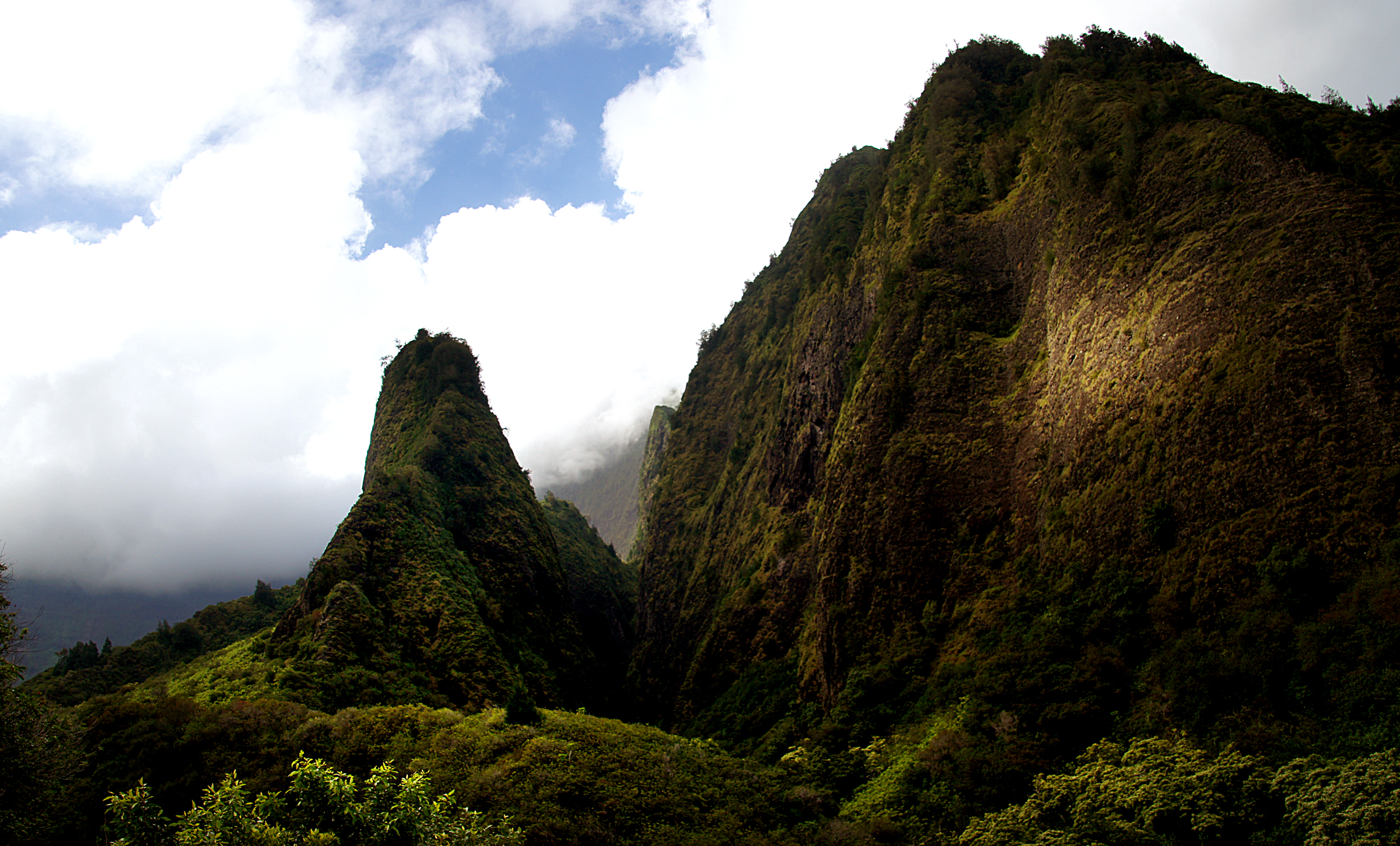
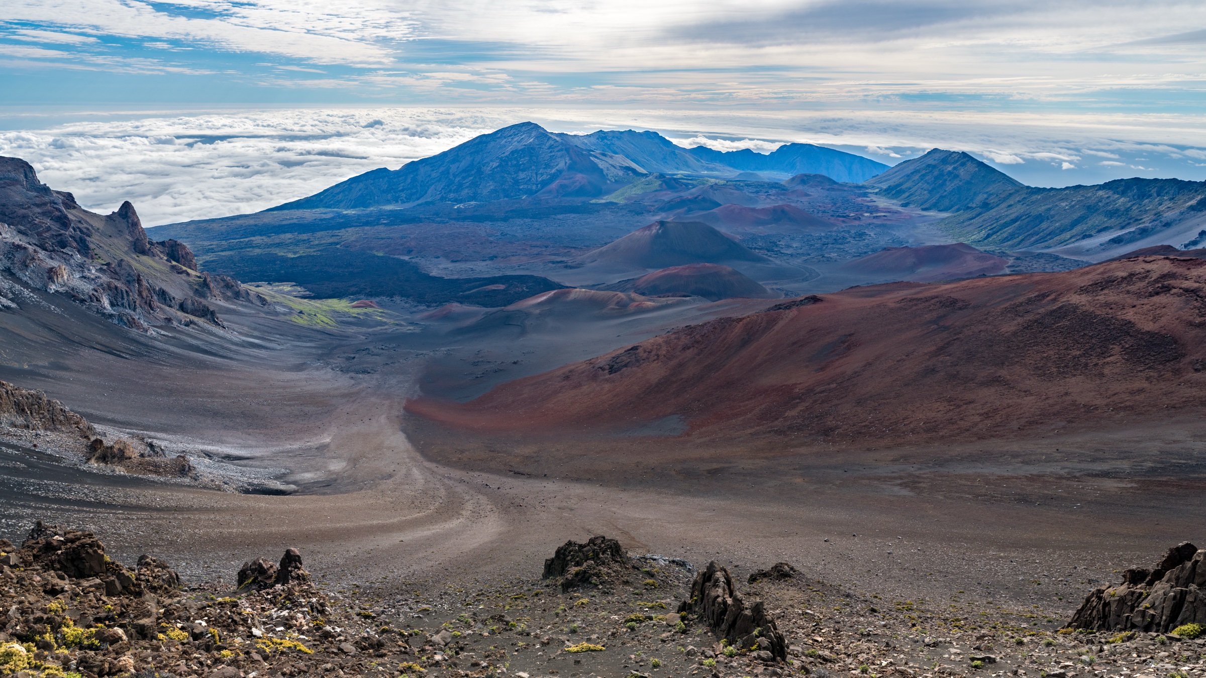
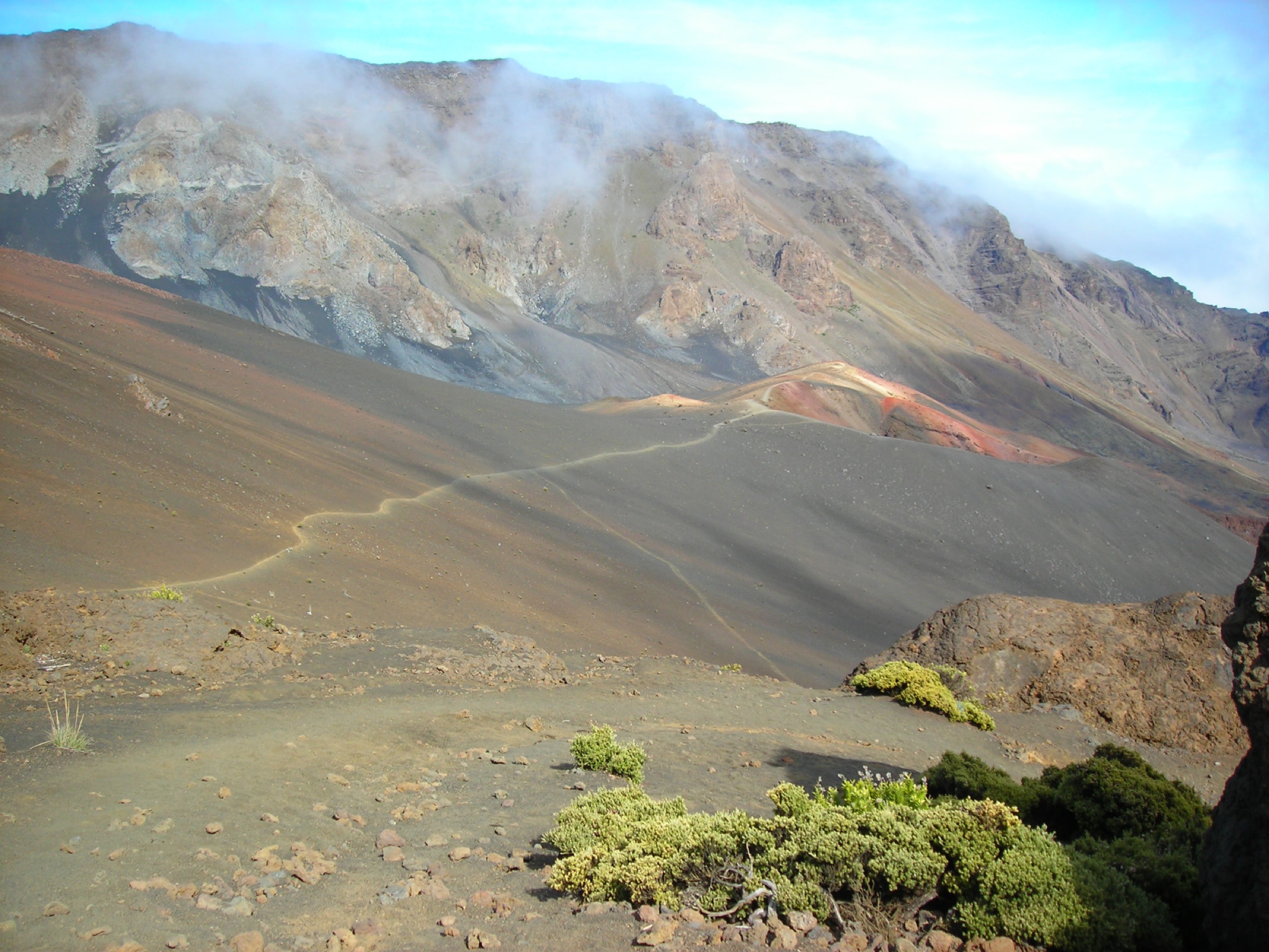
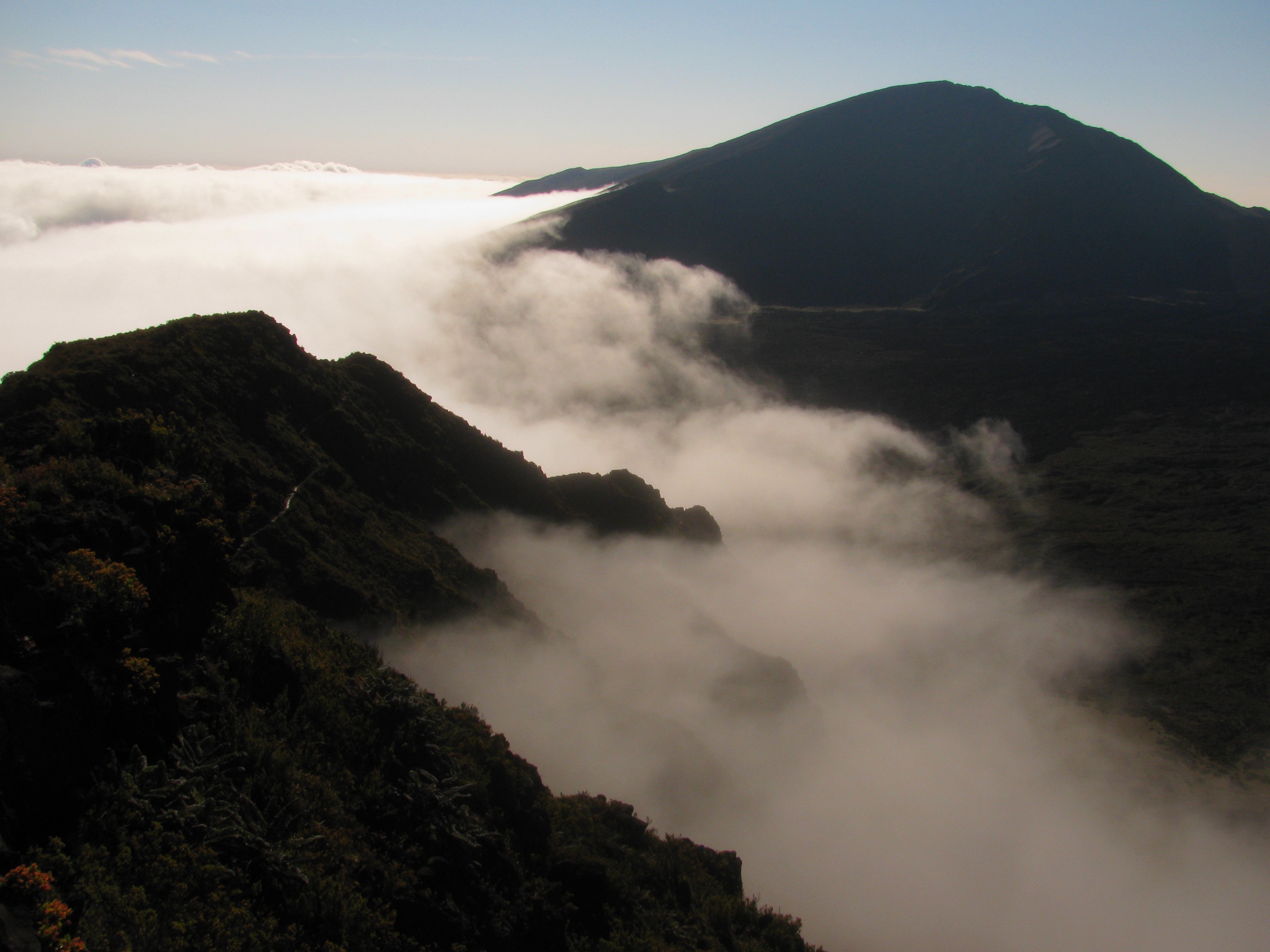
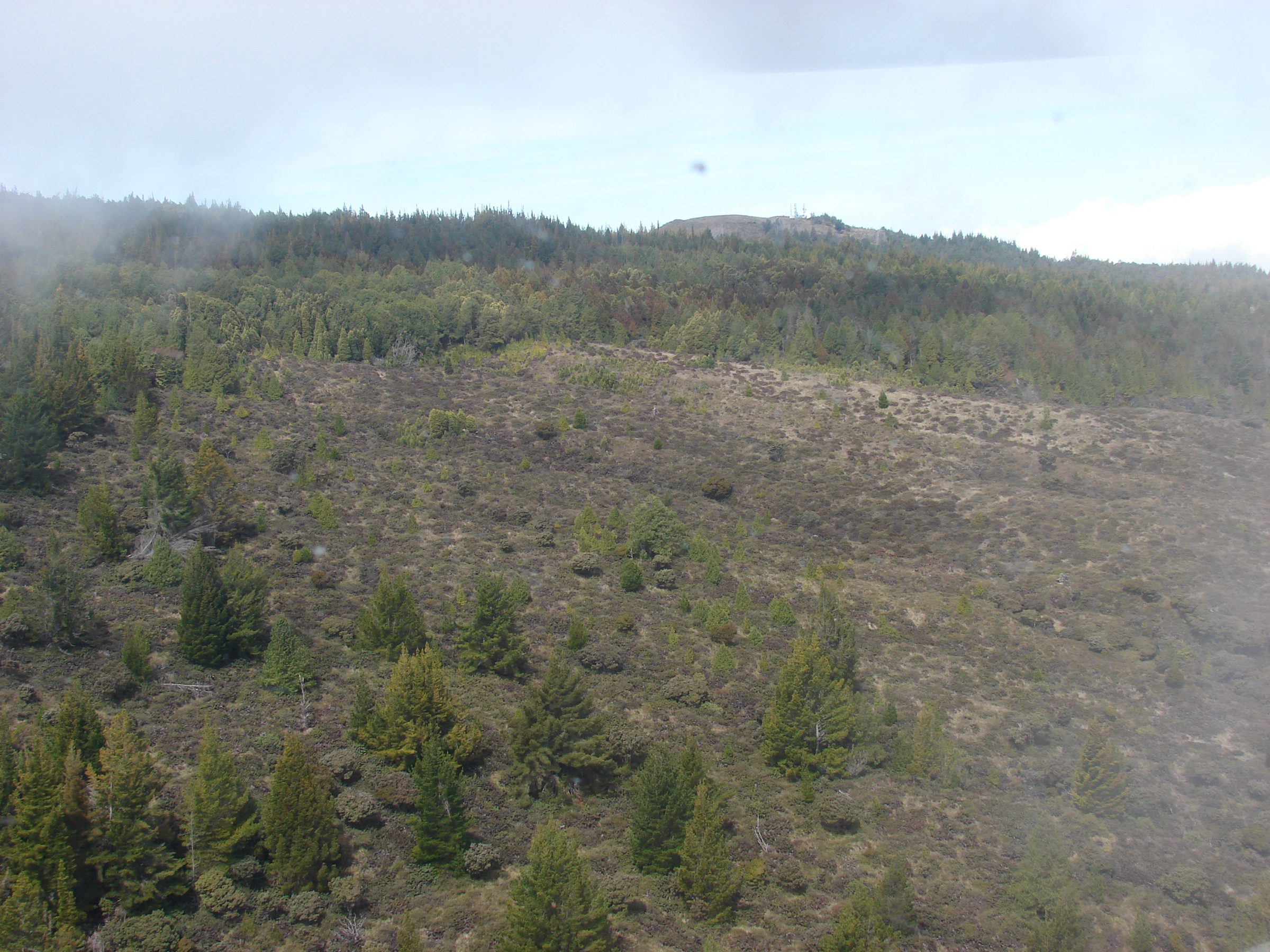
Haleakalā is Maui’s great shield volcano hiking region: high, dry cinder desert and subalpine shrubland around the summit depression, plus the humid Kīpahulu coastal-valley district with bamboo forest and waterfalls. The hiking character changes sharply with elevation. The summit routes are exposed, cold, high-altitude walks on soft volcanic cinder. Kīpahulu is hot, wet, stream-cut and flash-flood prone.
The park is managed by Haleakalā National Park. NPS publishes strong route descriptions, distances, elevation changes, hazards, and access rules, but no official GPX/KML downloads were found in this research pass — the routes below treat the NPS route pages and park maps as the canonical source. The summit district charges a vehicle entrance fee valid for three days and shared with the Kīpahulu District; sunrise visits between 03:00 and 07:00 require a separate timed reservation.
For the wider east-Maui coastal and rainforest selection that surrounds the Kīpahulu corner, see the companion Kīpahulu and East Maui day-hikes; for the dry leeward counterpart on the other side of the island, see West Maui Mountains day-hikes.
Selection rationale
The selection balances the classic crater traverse, a shorter crater-rim descent, the compact summit cultural viewpoint, the native/non-native forest loop at Hosmer Grove, and the signature Kīpahulu waterfall walk. Together they cover the full elevation gradient — from the 2,990 m cinder summit to the bamboo forest at the wet coast — without overlapping routes.
Summary table
| # | Hike | Country | Route type | Distance | Gain | Max elevation | Difficulty |
|---|---|---|---|---|---|---|---|
| 1 | Keoneheʻeheʻe / Sliding Sands to Halemauʻu Traverse | USA | Point-to-point | 17.8 km | Not stated by NPS | Approx. 2,990 m start | Strenuous |
| 2 | Halemauʻu Trail to Rainbow Bridge | USA | Out-and-back | 3.6 km | 123 m | 2,436 m trailhead | Moderate to strenuous |
| 3 | Pā Kaʻoao / White Hill Trail | USA | Out-and-back | 0.64 km | 30 m | Approx. 2,990 m | Easy but high altitude |
| 4 | Hosmer Grove Loop | USA | Loop | 0.87 km | 15 m | Not stated by NPS | Easy |
| 5 | Pīpīwai Trail to Waimoku Falls | USA | Out-and-back | 6.4 km | 244 m | Not stated by NPS | Moderate |
1. Keoneheʻeheʻe / Sliding Sands to Halemauʻu Traverse
Snapshot
Itinerary
Start at the Haleakalā Visitor Center parking area and descend the Keoneheʻeheʻe Trail into the cinder basin. NPS identifies the crater floor as 6.3 km / 3.9 mi one way, with almost 762 m of descent. The classic full-day traverse crosses the valley floor toward the Halemauʻu side, passes features such as Pele’s Paint Pot and Kawilinau, then climbs out to finish at the Halemauʻu Trailhead.
Why it is essential
This is the signature Haleakalā day hike: a long, immersive crossing of the summit depression, with cinder cones, open volcanic desert, high-altitude light and the dramatic Halemauʻu exit climb.
Equipment
Sturdy footwear, sun protection, cold/wet-weather layers, wind shell, food, 2–3 litres of water, headlamp, map/GPS, and a firm transport plan. Trekking poles help on soft cinder.
Hazards and notes
NPS warns that summit hiking is strenuous because of high elevation and low oxygen. Soft cinder can feel like walking on a beach. Downhill starts require enough time and energy for the exit climb. Stay on marked trails; off-trail travel is not allowed. Pets are prohibited on park trails.
GPX / KML links
Further reading
2. Halemauʻu Trail to Rainbow Bridge
Snapshot
Itinerary
From Halemauʻu Trailhead, follow the rocky trail to the first crater viewpoint. NPS notes that Rainbow Bridge lies about 0.4 km / 0.25 mi beyond the first viewpoint. The selected day-hike variant turns around before the full switchback descent to the crater floor.
Why it is essential
This is the best short access to the Halemauʻu side of the crater, giving a dramatic overlook and a taste of the longer summit wilderness without committing to the full traverse.
Equipment
Sturdy footwear, warm/wind layer, sun protection, water, map/GPS and rain shell.
Hazards and notes
Weather can change quickly. The trail continues steeply beyond the viewpoint; do not underestimate the climb back if extending into the crater.
GPX / KML links
| Source | URL | Format / access | Reuse status |
|---|---|---|---|
| NPS — Haleakalā hiking | nps.gov | Official route page / source map | NPS public website; no GPX found |
Further reading
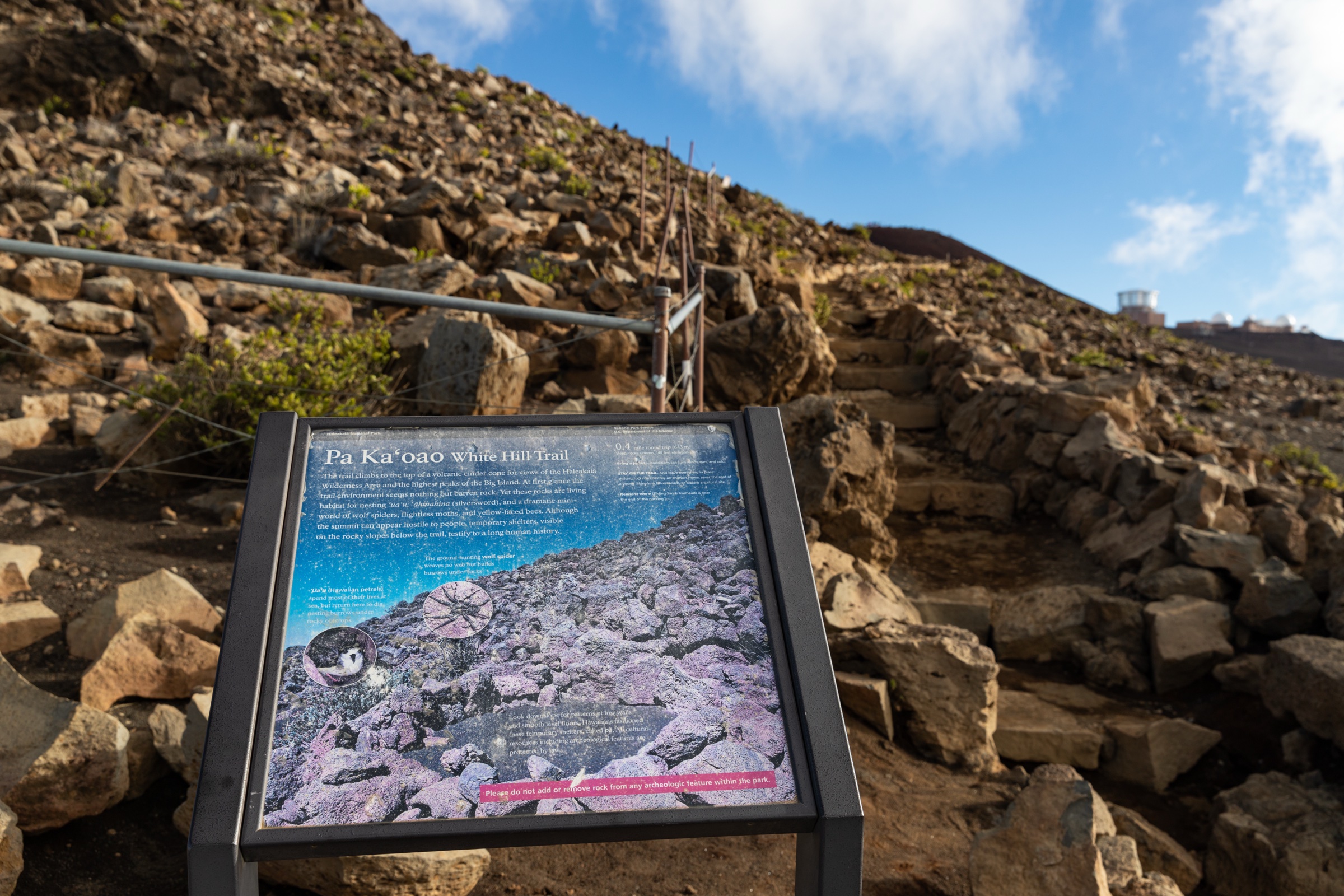
3. Pā Kaʻoao / White Hill Trail
Snapshot
Itinerary
Climb the puʻu beside the Haleakalā Visitor Center to rock-wall shelters and a compact crater-view summit. Return the same way.
Why it is essential
For a very short route, Pā Kaʻoao gives one of the most accessible high-summit perspectives on the Haleakalā crater landscape and its cultural features.
Equipment
Warm layer, wind shell, sun protection and secure footwear.
Hazards and notes
The route is short but high, cold and exposed. Stay on the marked trail and protect fragile summit vegetation and cultural features.
GPX / KML links
| Source | URL | Format / access | Reuse status |
|---|---|---|---|
| NPS — Haleakalā hiking | nps.gov | Official route page / source map | NPS public website; no GPX found |
Further reading
4. Hosmer Grove Loop
Snapshot
Itinerary
Follow the loop through Hosmer Grove, where non-native tree plantings meet native shrubland and forest bird habitat.
Why it is essential
Hosmer Grove adds the living forest and birding side of Haleakalā to the otherwise volcanic summit selection, and is the easiest legal trail for seeing native honeycreepers in the park.
Equipment
Comfortable walking shoes, water, light rain layer, binoculars for birding.
Hazards and notes
Stay on trail to protect habitat. Weather can still be cool and wet at this elevation.
GPX / KML links
| Source | URL | Format / access | Reuse status |
|---|---|---|---|
| NPS — Haleakalā hiking | nps.gov | Official route page / source map | NPS public website; no GPX found |
Further reading
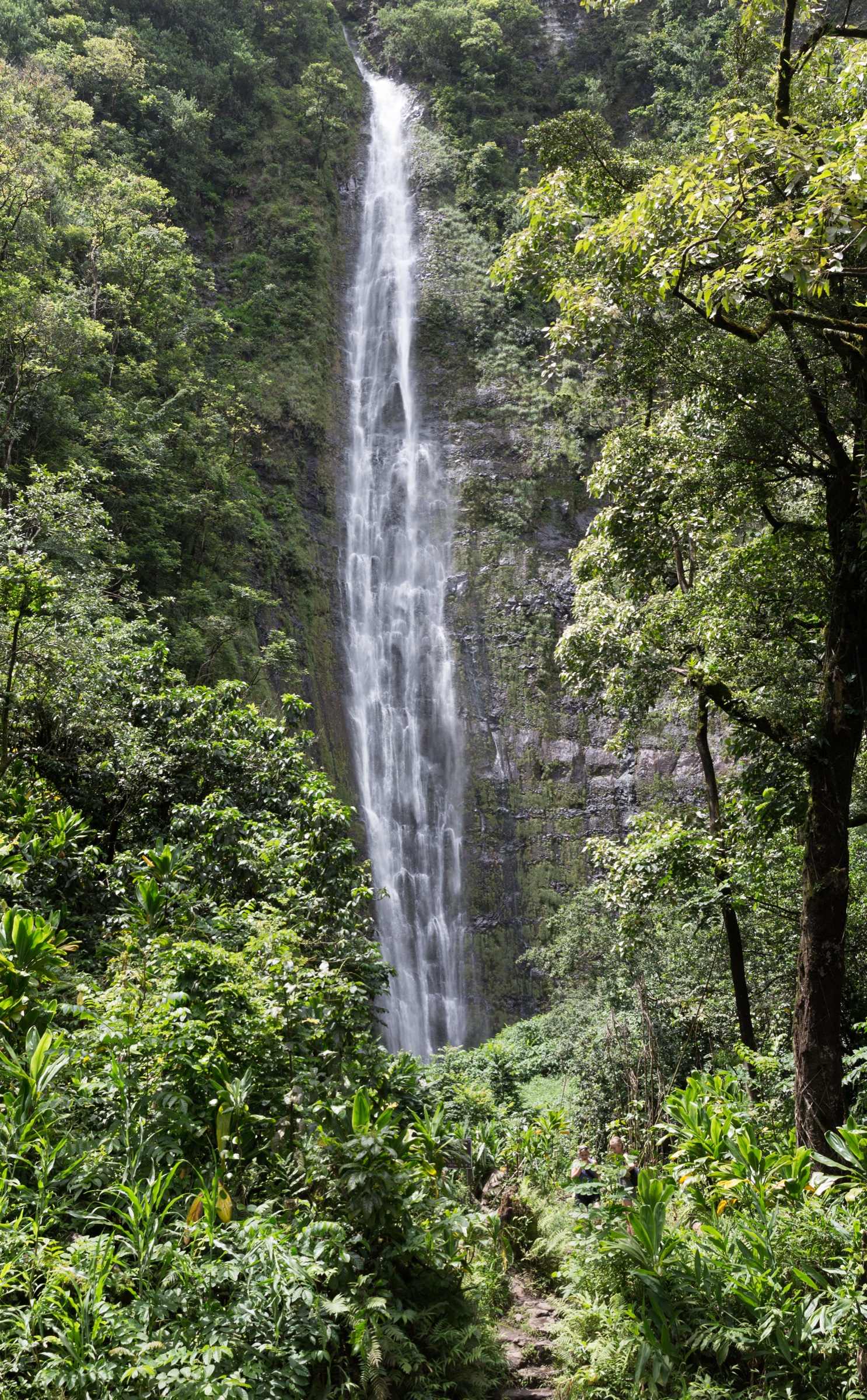
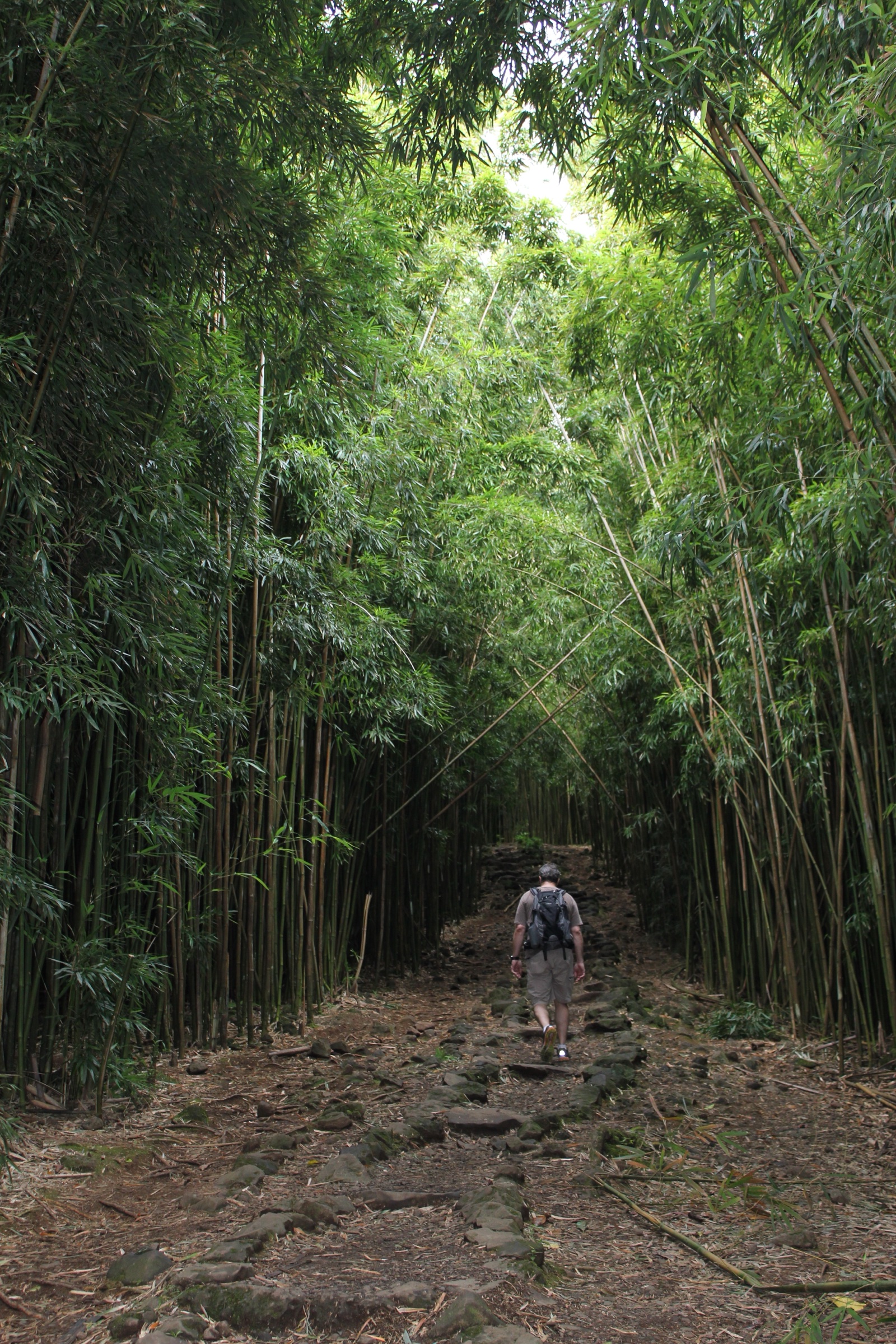
5. Pīpīwai Trail to Waimoku Falls
Snapshot
Itinerary
From Kīpahulu, follow Pīpīwai Trail past Makahiku Overlook, continue through streamside forest and the bamboo section, then use boardwalks and bridges toward the Waimoku Falls viewing area at the end of the trail. Return the same way.
Why it is essential
Pīpīwai is the iconic Kīpahulu hike: bamboo forest, waterfalls, humid ravine ecology and a completely different Haleakalā experience from the high crater routes.
Equipment
Sturdy footwear, rain protection, water, sun and insect protection, and a conservative weather and stream-flow plan.
Hazards and notes
Kīpahulu is remote, humid and rainy. NPS warns of flash floods and rockfall hazards, and says off-trail travel is dangerous and illegal. Swimming in ʻOheʻo Gulch is not recommended and any posted closures must be obeyed.
GPX / KML links
| Source | URL | Format / access | Reuse status |
|---|---|---|---|
| NPS — Haleakalā hiking | nps.gov | Official route page / source map | NPS public website; no GPX found |
Further reading
Missing data / follow-up work
- No official GPX/KML downloads were found for any of the five routes.
- Several maximum elevations and the Sliding Sands-to-Halemauʻu cumulative gain were not stated on the NPS hiking page and are left unresolved.
- Kaupō Trail was not selected: NPS notes that the outside-park portions are not maintained and recommends crater trails instead.