Regional overview
Raggeds Wilderness is a remote Elk Mountains wilderness spanning Gunnison and White River National Forests. Its hiking character is wilder and less managed than the Aspen classics: long creek valleys, steep passes, aspen forests, dark canyons, alpine lakes, and rougher routefinding.
The best season is usually July through September. Early summer brings snow, high creek crossings, avalanche debris, and muddy access roads. Many routes are long for day hikes, and several trailheads require dirt-road travel.
For the more famous Elk Mountains classics just to the east, see the companion Aspen and Crested Butte day-hikes entry and the Maroon Bells–Snowmass day-hikes entry.
Selection rationale
The five selected hikes cover the wilderness’s main day-hiking experiences: Oh-Be-Joyful’s waterfalls and upper basin, Anthracite Pass, the Yule Lakes high route, Beckwith Pass as a moderate classic, and Dark Canyon as the major canyon traverse.
Summary table
| # | Hike | Country | Route type | Distance | Gain | Max elevation | Difficulty |
|---|---|---|---|---|---|---|---|
| 1 | Oh-Be-Joyful Trail to Blue Lake area | USA | Out-and-back | 21.2 km | 659 m | 3,372 m | Hard |
| 2 | Anthracite Pass Trail | USA | Out-and-back | 11.3 km | 696 m | 3,133 m | Hard |
| 3 | Yule Lakes via Yule Pass Trail | USA | Out-and-back | 15.3 km | 538 m | 3,647 m | Hard |
| 4 | Beckwith Pass Trail | USA | Out-and-back | 10.8 km | 269 m | 3,035 m | Moderate |
| 5 | Dark Canyon Trail | USA | Point-to-point | 22.2 km | 1,068 m | 2,858 m | Hard |
1. Oh-Be-Joyful Trail to Blue Lake area
Snapshot
Itinerary
The route begins at the Oh-Be-Joyful Trailhead and follows Oh-Be-Joyful Creek into the Raggeds high country. It passes waterfalls, meadows, and forested sections before reaching the Blue Lake trail junction and continuing toward the upper lake basin. The return follows the same route.
Why it is essential
Oh-Be-Joyful is the signature eastern approach into the Raggeds: a long water-rich valley hike with waterfalls, wildflowers, and alpine-basin scenery.
Equipment
Mountain hiking equipment: waterproof footwear for crossings, poles, warm layer, rain shell, sun protection, navigation backup, and headtorch.
Hazards and notes
Winter and early spring access is not suitable for normal hiking. Avalanche debris, downed trees, snow patches, and high water can persist. Afternoon storms and long return distance make an early start important.
GPX / KML links
| Source | URL | Format / access | Reuse status |
|---|---|---|---|
| USFS — Oh-Be-Joyful Trail #836 | fs.usda.gov | Official trail page | No GPX file; official source for route description |
| AllTrails — Oh-Be-Joyful | alltrails.com | Interactive route map | AllTrails terms; GPX reuse not verified; source/check only |
Further reading
2. Anthracite Pass Trail
Snapshot
Itinerary
The trail follows North Anthracite Creek into Anthracite Basin, then climbs steeply toward Anthracite Pass. The return follows the same route.
Why it is essential
Anthracite Pass gives a compact but strenuous sample of the Raggeds interior: creek valley, basin, steep pass, and remote views.
Equipment
Mountain hiking equipment: sturdy boots, poles, rain shell, warm layer, water treatment if relying on streams, and navigation backup.
Hazards and notes
Steep and narrow sections, washouts, overgrowth, and snow remnants are possible. The trail is less busy than the Crested Butte classics, so self-sufficiency matters.
GPX / KML links
| Source | URL | Format / access | Reuse status |
|---|---|---|---|
| USFS — North Anthracite #832 | fs.usda.gov | Official trail page | No GPX file; official source for route description |
| AllTrails — Anthracite Pass Trail | alltrails.com | Interactive route map | AllTrails terms; GPX reuse not verified; source/check only |
Further reading
3. Yule Lakes via Yule Pass Trail
Snapshot
Itinerary
From the high Paradise Divide / Yule Pass access, the route follows the Yule Pass corridor toward the Raggeds high country and continues toward the Yule Lakes basin. The return follows the same line.
Why it is essential
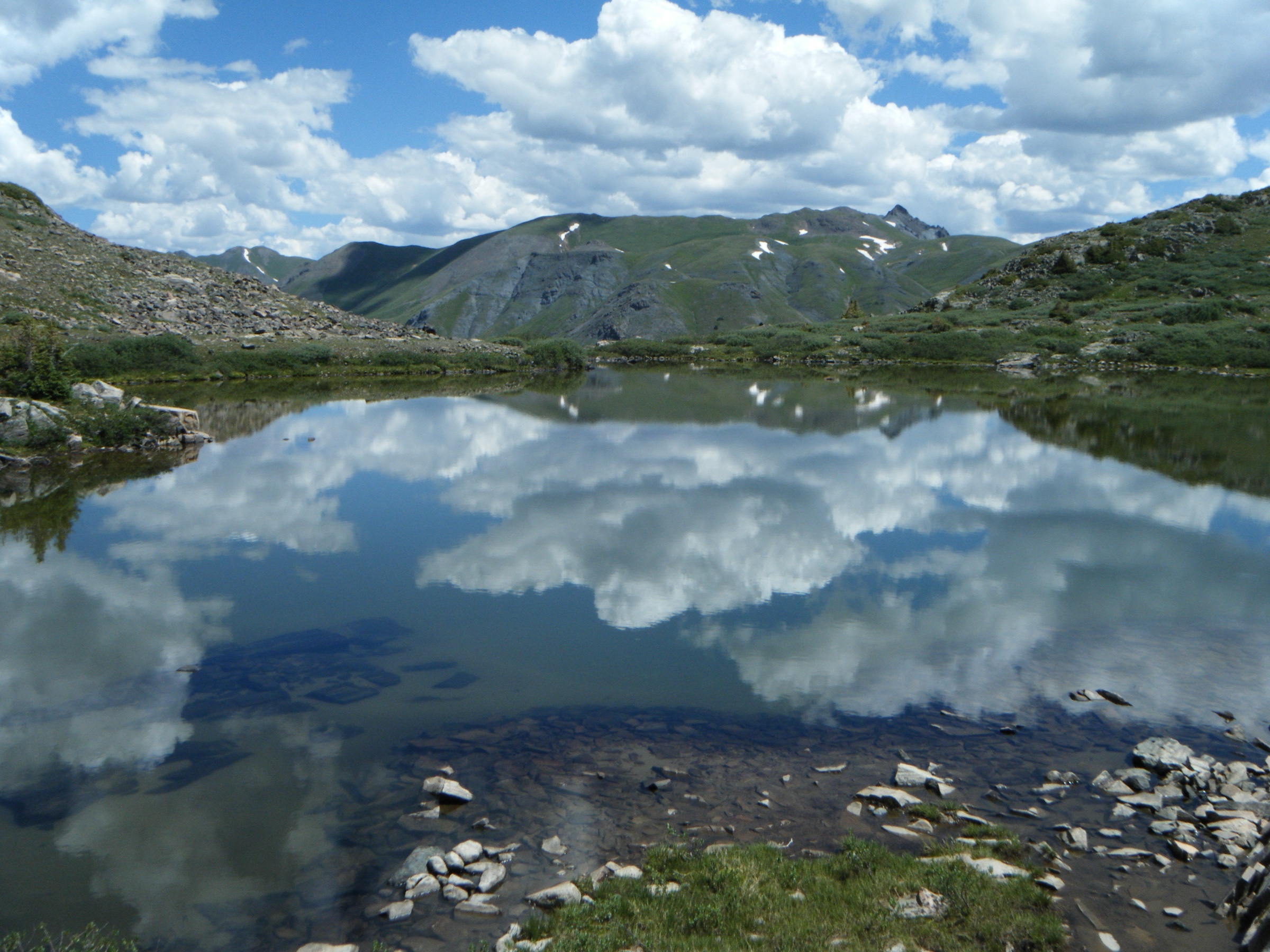
Yule Lakes represents the high, open, less-travelled side of the Raggeds, with alpine-lake terrain and expansive views from the Paradise Divide side.
Equipment
Mountain hiking equipment: reliable offline map/GPS, sturdy boots, poles, rain shell, warm layer, and sun protection.
Hazards and notes
The mapped lake variant has routefinding concerns; AllTrails notes unofficial sections that can be difficult to follow. Snow can linger well into summer. Access roads are seasonal and should be checked locally.
GPX / KML links
| Source | URL | Format / access | Reuse status |
|---|---|---|---|
| USFS — Yule Pass #576 | fs.usda.gov | Official trail page | No GPX file; official source for route description |
| USFS — Yule Pass TH #2083 | fs.usda.gov | Official trailhead page | No GPX file; trailhead access information |
| AllTrails — Yule Lakes via Paradise Divide | alltrails.com | Interactive route map | AllTrails terms; GPX reuse not verified; source/check only |
Further reading
4. Beckwith Pass Trail
Snapshot
Itinerary
The Beckwith Pass Trail connects the Three Lakes area with Cliff Creek. The day-hike variant follows the trail through aspen, spruce, open parks, and wildflower slopes toward Beckwith Pass, then returns by the same route.
Why it is essential
Beckwith Pass is the moderate classic of this group, providing views of East Beckwith, the Ruby Range, and the Raggeds / West Elk transition zone without the length of Dark Canyon or Oh-Be-Joyful.
Equipment
Standard to mountain hiking equipment: sturdy footwear, poles for stream crossings, rain shell, water, and navigation backup.
Hazards and notes
The trail is used by horses. Several stream crossings may be wet or high. Kebler Pass and Lost Lake road access should be checked after storms or early-season snowmelt.
GPX / KML links
| Source | URL | Format / access | Reuse status |
|---|---|---|---|
| USFS — Beckwith Pass Trail #842 | fs.usda.gov | Official trail page | No GPX file; official source for route description |
| AllTrails — Beckwith Pass | alltrails.com | Interactive route map | AllTrails terms; GPX reuse not verified; source/check only |
Further reading
5. Dark Canyon Trail
Snapshot
Itinerary
The trail follows Anthracite Creek into the rock-walled Dark Canyon, then continues across the southern Raggeds trail system. A full point-to-point day requires shuttle logistics; shorter out-and-back walks into the canyon are possible but are not the statistic set listed here.
Why it is essential
Dark Canyon is the major canyon route of the Raggeds Wilderness, contrasting sharply with the area’s open passes and alpine lakes.
Equipment
Mountain hiking equipment: sturdy boots, poles, headtorch, rain shell, warm layer, map/GPS, and enough food and water for a long remote day.
Hazards and notes
The full route is long and logistically serious. Early-season waterfalls and runoff can make wet sections more difficult. Shuttle planning is unresolved in this pass.
GPX / KML links
| Source | URL | Format / access | Reuse status |
|---|---|---|---|
| USFS — Dark Canyon Trail #830 | fs.usda.gov | Official trail page | No GPX file; official source for route description |
| AllTrails — Dark Canyon Trail | alltrails.com | Interactive route map | AllTrails terms; GPX reuse not verified; source/check only |
Further reading
Missing data / follow-up work
- No legally reusable GPX/KML files were verified.
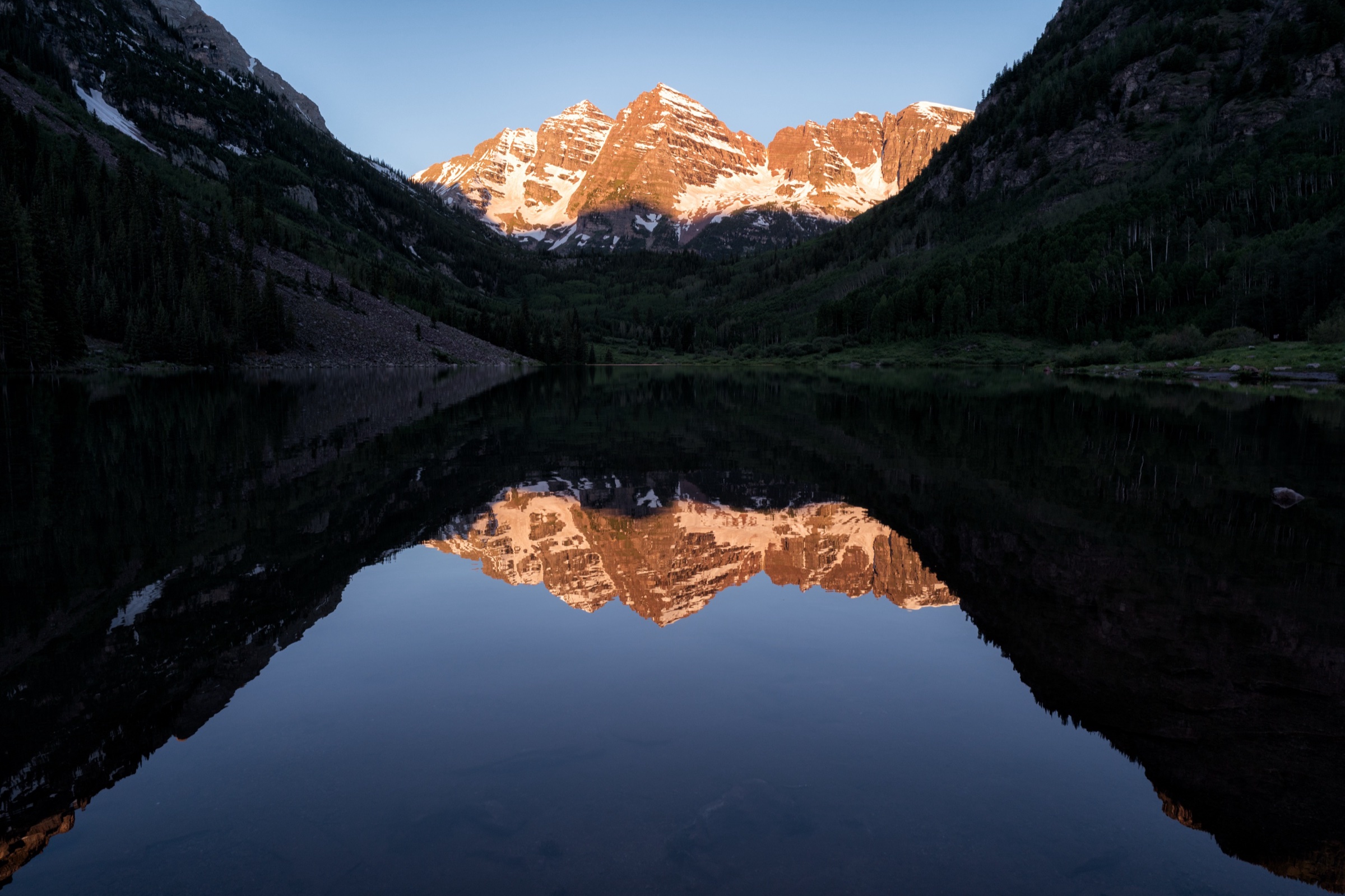
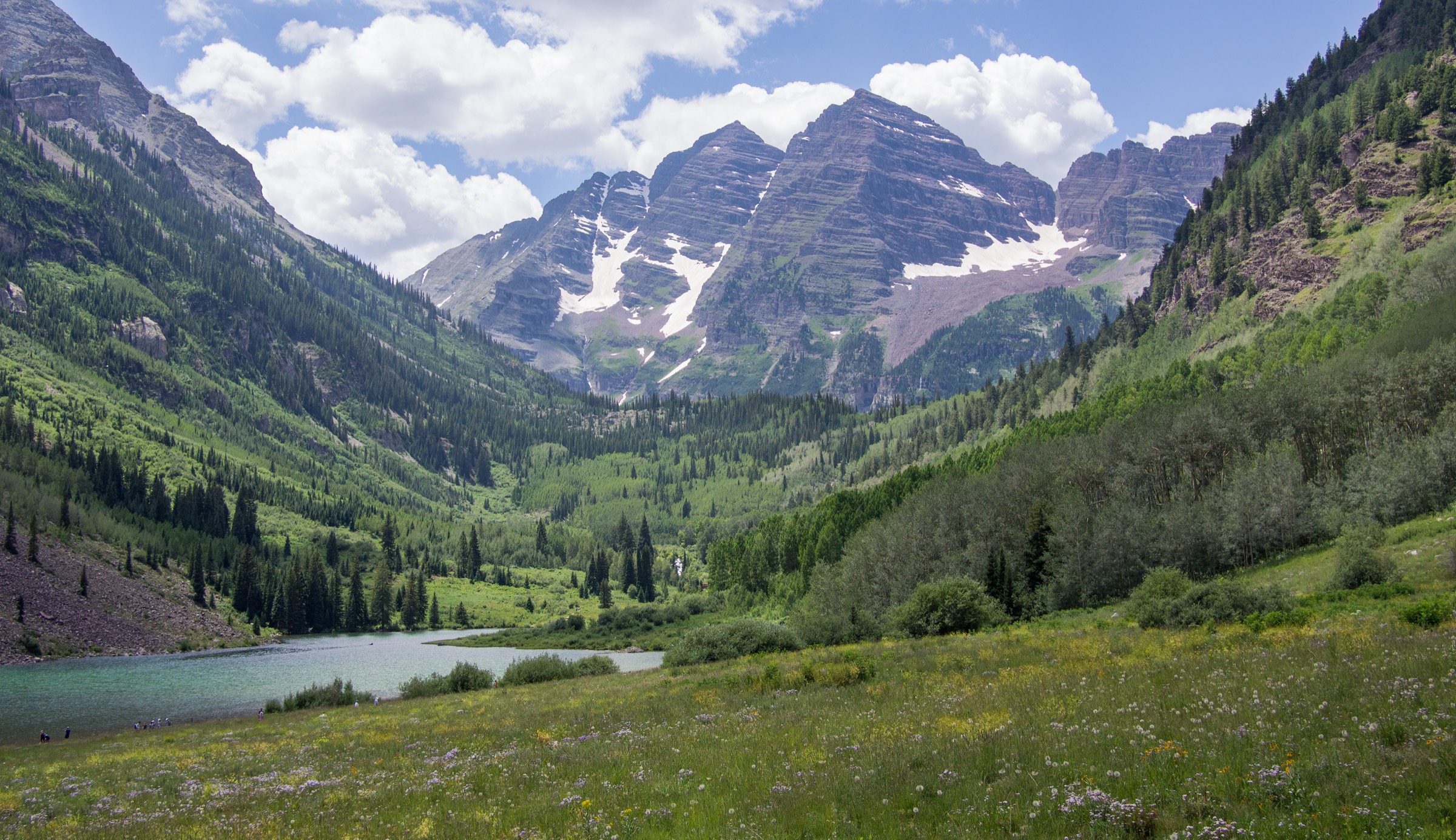
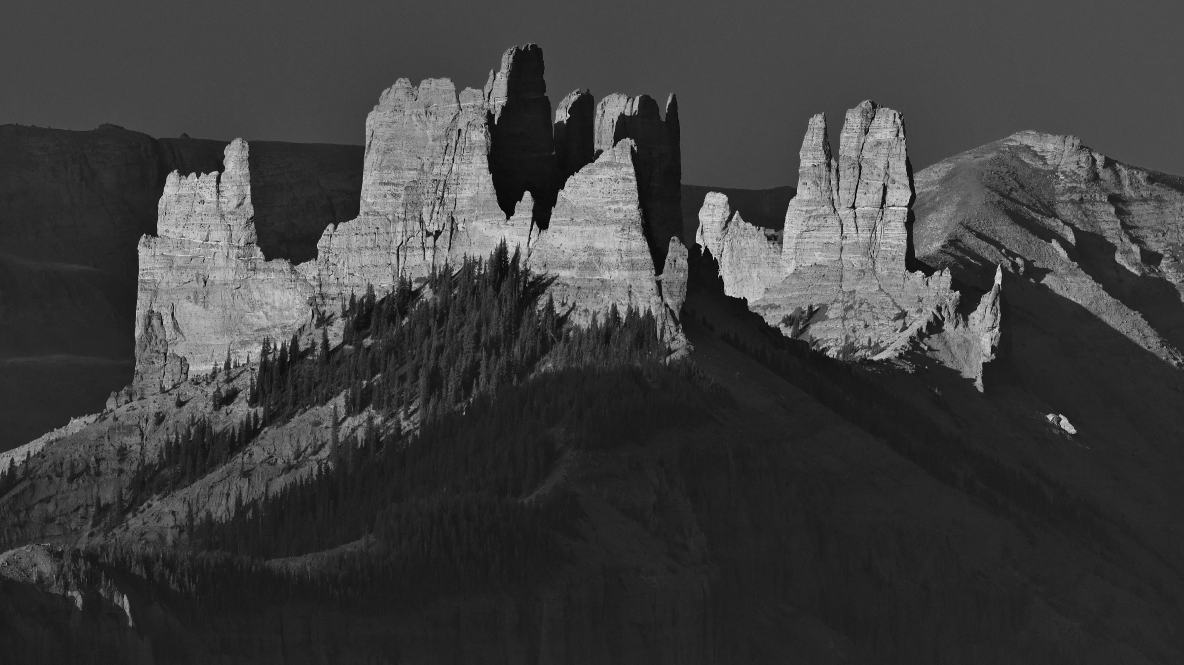
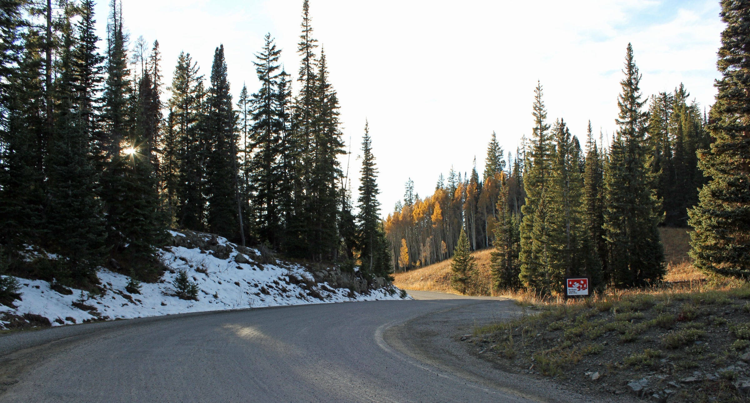
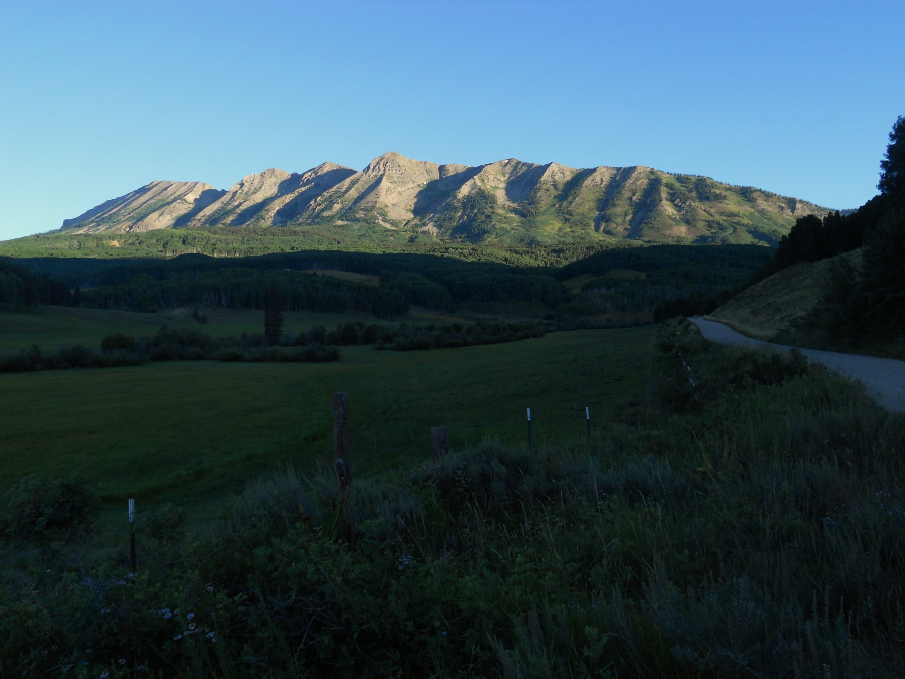
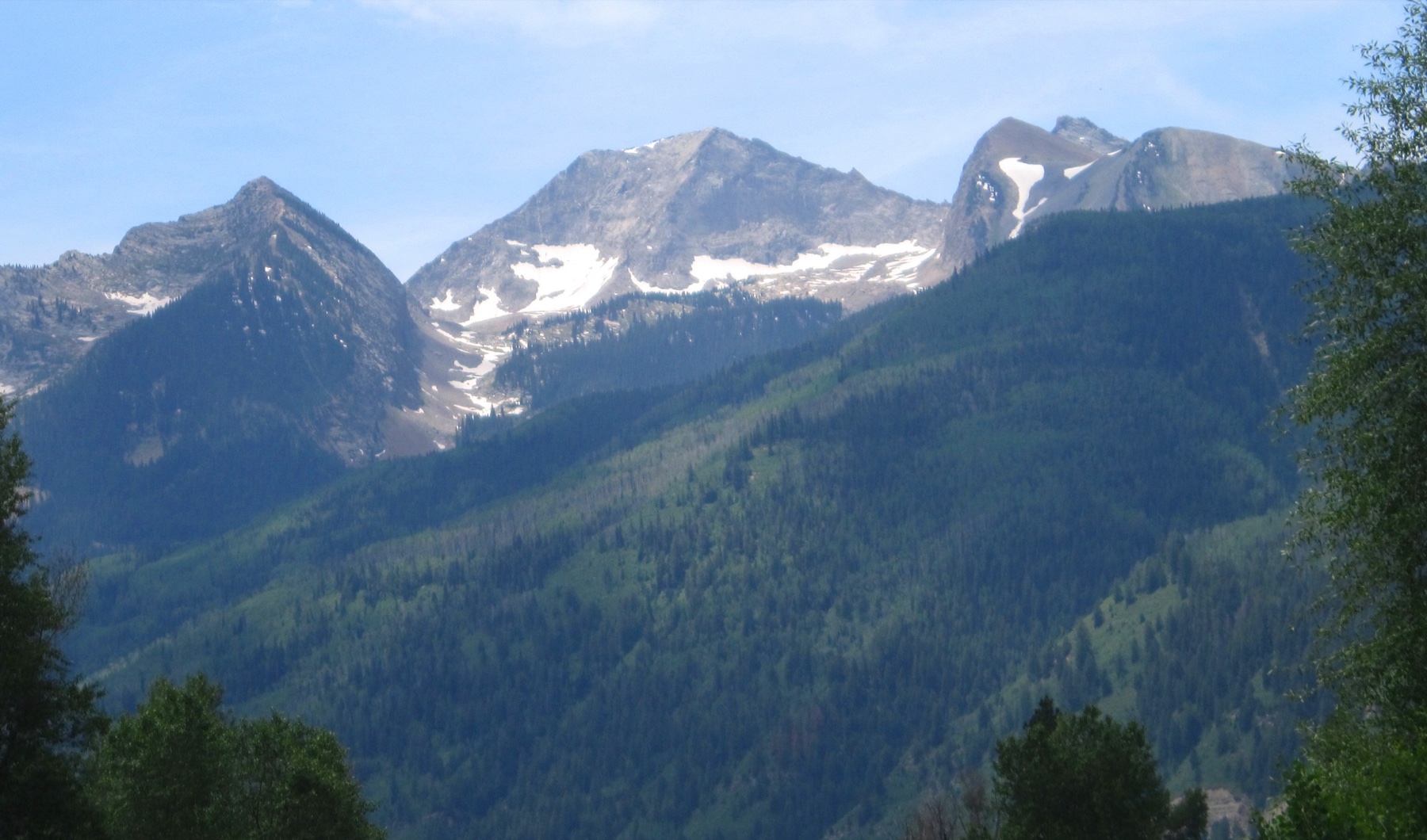
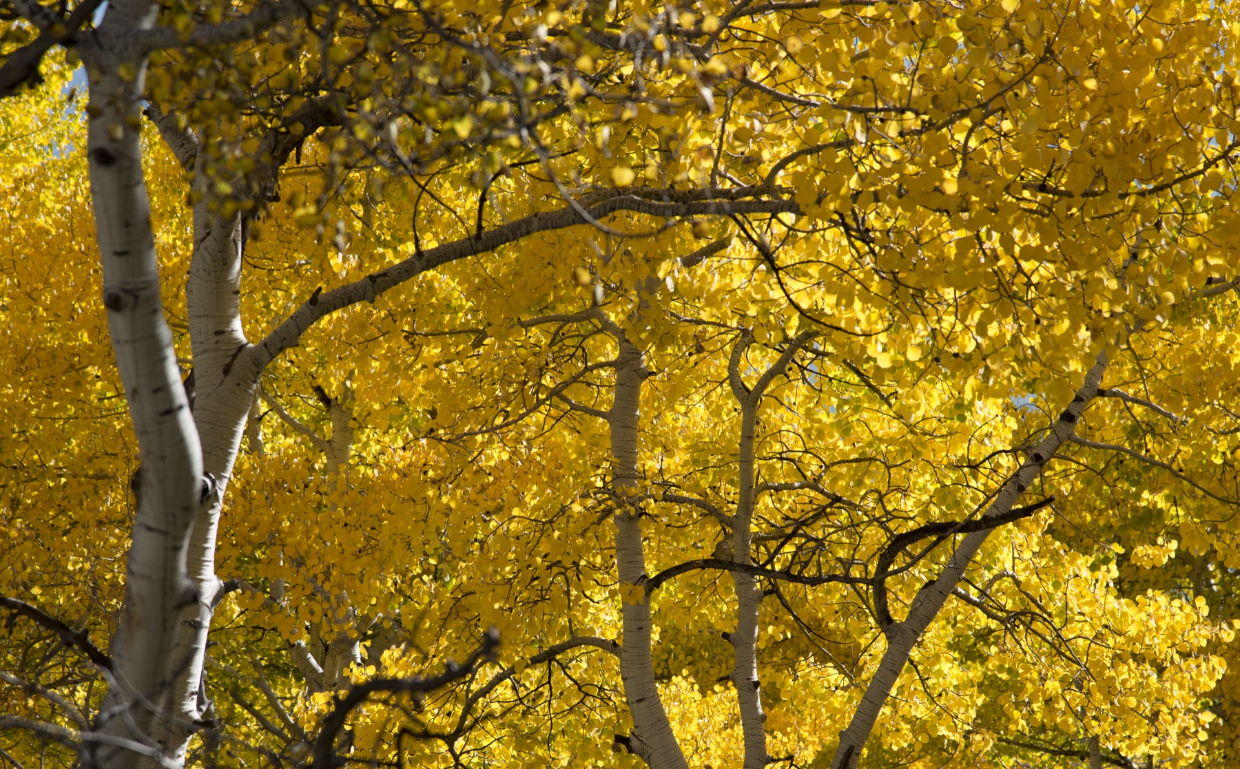
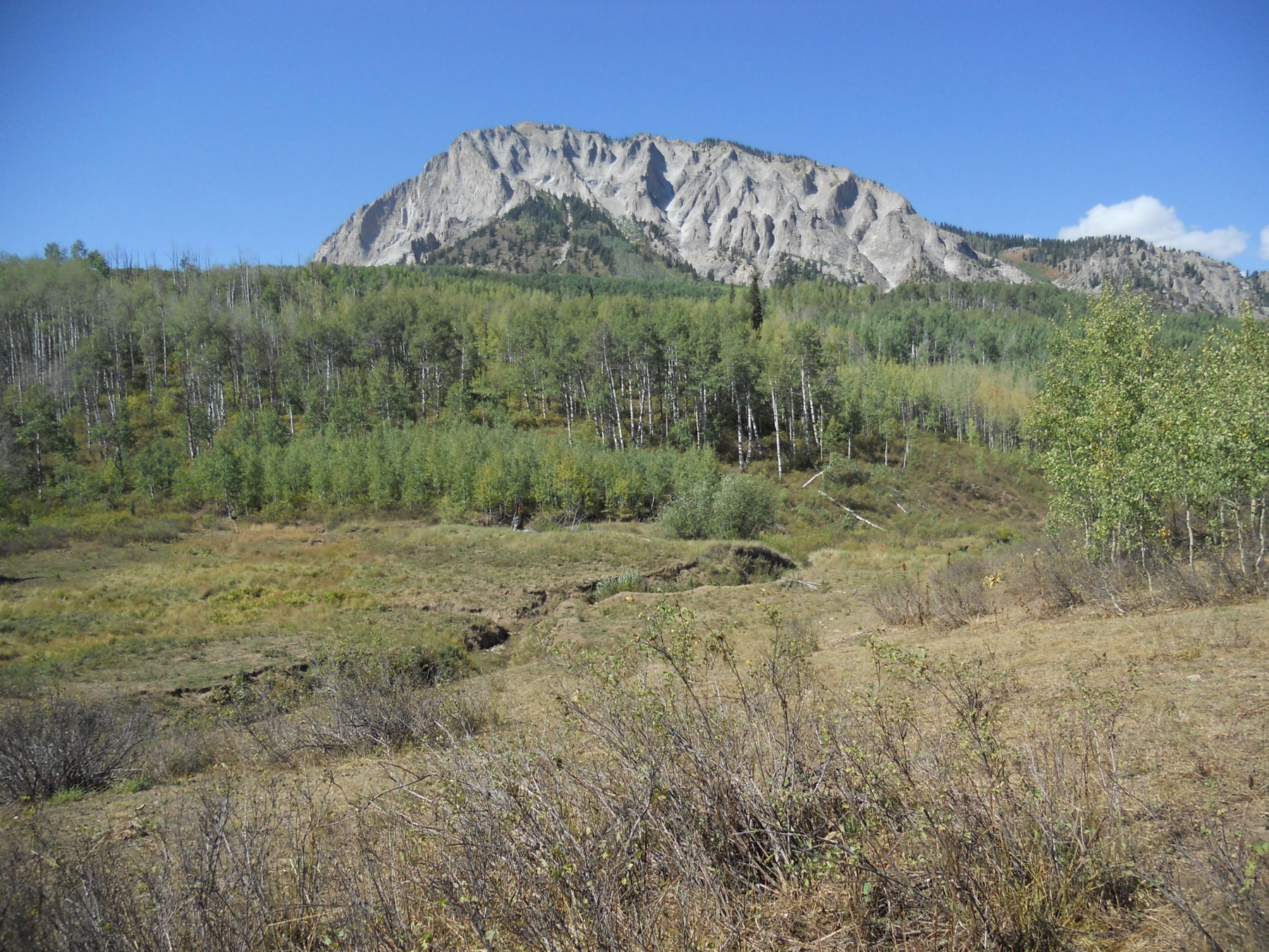
- Anthracite Pass, Yule Lakes, Beckwith Pass, and Dark Canyon need route-specific open-licence photography; contextual range views have been used in their place.
- Yule Lakes needs a stronger official source for the lake extension beyond the named Yule Pass trail.
- Dark Canyon full-traverse elevation loss and shuttle logistics need local confirmation.
Further reading
| Resource | Link |
|---|---|
| USFS — Oh-Be-Joyful Trail #836 | fs.usda.gov |
| USFS — North Anthracite #832 | fs.usda.gov |
| USFS — Yule Pass #576 | fs.usda.gov |
| USFS — Yule Pass TH #2083 | fs.usda.gov |
| USFS — Beckwith Pass Trail #842 | fs.usda.gov |
| USFS — Dark Canyon Trail #830 | fs.usda.gov |
| AllTrails — Oh-Be-Joyful | alltrails.com |
| AllTrails — Anthracite Pass Trail | alltrails.com |
| AllTrails — Yule Lakes via Paradise Divide | alltrails.com |
| AllTrails — Beckwith Pass | alltrails.com |
| AllTrails — Dark Canyon Trail | alltrails.com |