Regional overview
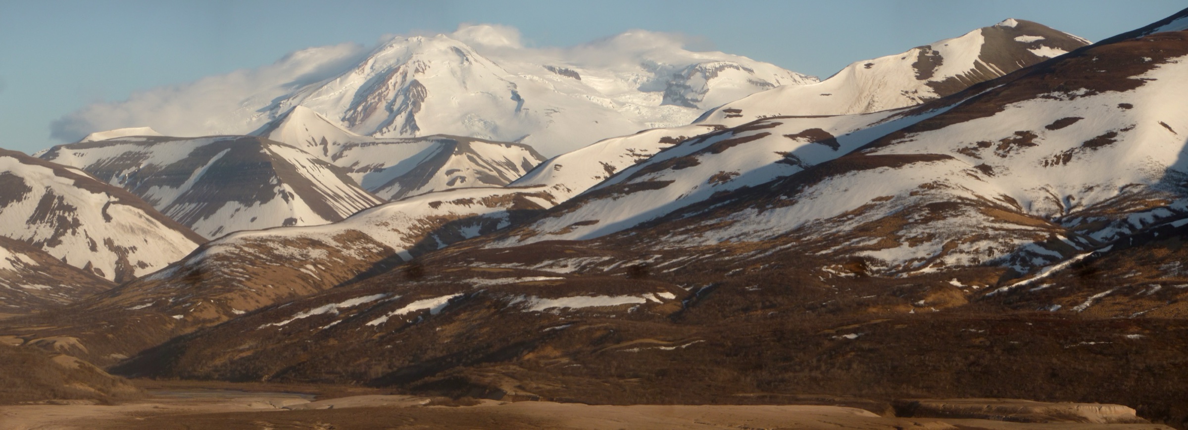
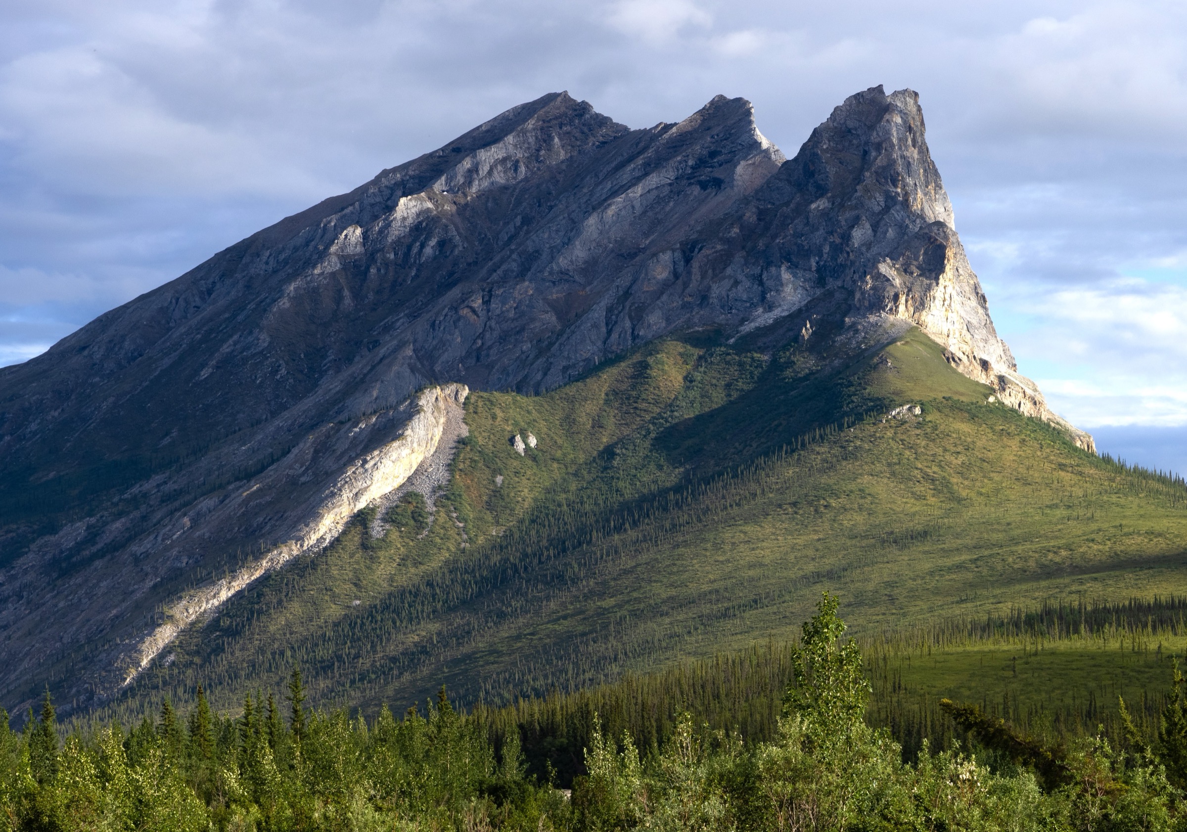
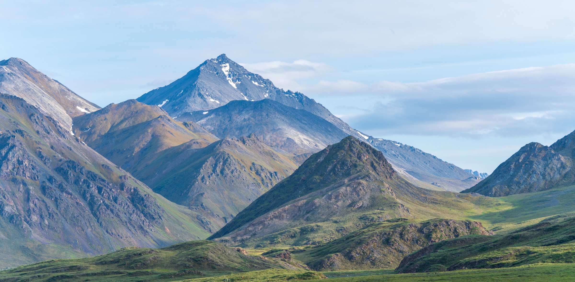
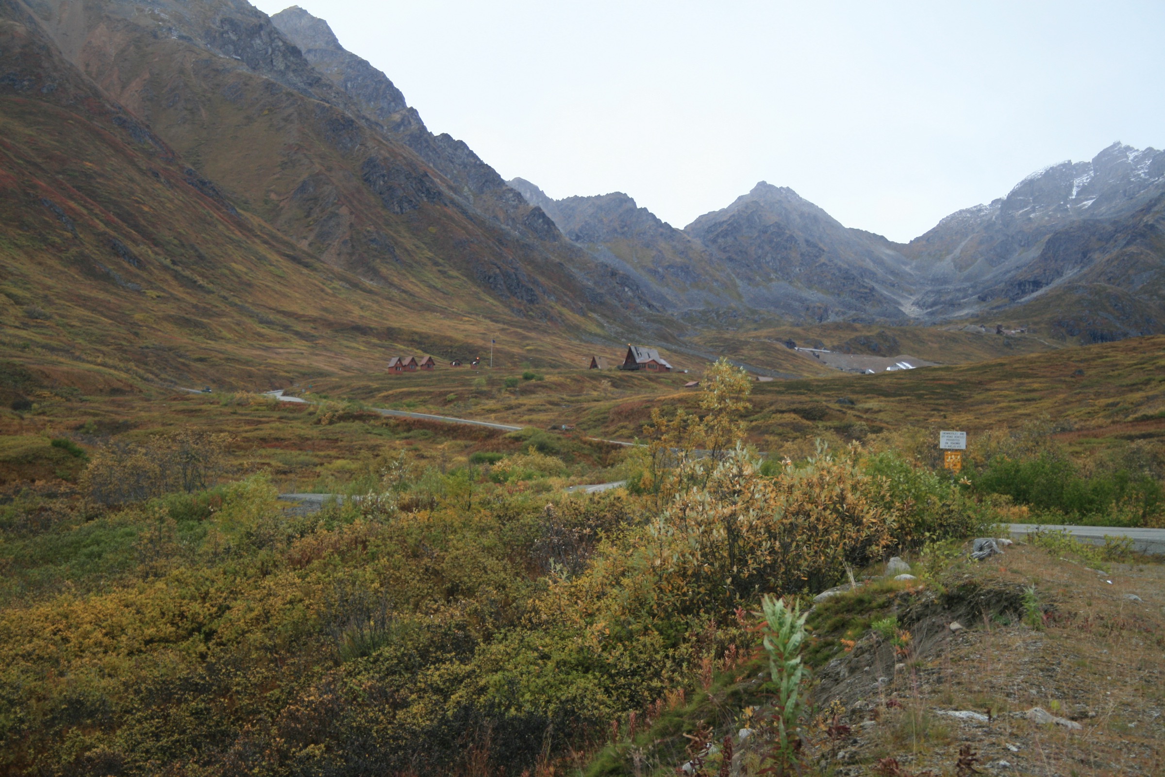
The Talkeetna Mountains rise between the Matanuska Valley and the Susitna River in south-central Alaska, forming an accessible mountain block within a two-hour drive of Anchorage. The day-hiking centre of the range is Hatcher Pass, an alpine road corridor connecting Palmer and Willow via the Little Susitna River drainage and the Willow Creek valley, administered by Alaska State Parks as three linked recreation units: the Hatcher Pass Management Area (east and west), Independence Mine State Historical Park and Summit Lake State Recreation Site. It is the most documented and accessible mountain walking cluster in the range, combining glaciated alpine bowls, tundra ridges, mining history and road-accessed trailheads close enough to Palmer and Wasilla for normal day trips.
The walking character is distinctly Alaskan. Short trails can still mean rough tread, boulder fields, lingering snow, sudden weather, bears, summer insects, and access roads that open only after snowmelt. The Hatcher Pass Road climbs to the pass at 3,886 ft (1,184 m) — the highest developed road summit in south-central Alaska — and the upper gravel section past Independence Mine is narrow, steep and typically open only from July through late September; Alaska State Parks explicitly does not recommend it for RVs and larger vehicles. Snow can fall in any month, and deep snow can linger into late summer on the high bowls and shaded aspects.
Bears — both black and brown/grizzly — are present through the range and standard Alaska bear-aware practice applies. Weather changes rapidly on the pass and on the exposed ridges, and cell coverage is patchy above the pass road and effectively absent in the high side-valleys. Trailhead parking at Gold Mint, Reed Lakes and Independence Mine fills early on summer weekends. Alaska State Parks material was the main source for this catalogue; no legal GPX/KML downloads were located in this pass, so each hike is anchored to the state brochure or state park page and downloadable route-file status is marked unresolved.
Selection rationale
The five walks cover the essential Hatcher Pass / Talkeetna day-hike range: a long glacial valley approach (Gold Mint), the classic alpine-lake route (Reed Lakes), a short high-lake objective (Gold Cord Lake), the April Bowl / Hatch Peak ridge-and-tarn day at Summit Lake, and the Independence Mine historic walking circuit. The set spreads across the three principal state-park units and combines glacial-valley, alpine-lake, ridge and interpretive-heritage character in a single catalogue. Routes deeper in the Talkeetnas — the Bomber Traverse, the Peters Hills, and the north-side approaches — sit outside a day-hike bracket and are noted at the end.
Summary table
| # | Hike | Country | Route type | Distance | Gain | Max elevation | Difficulty |
|---|---|---|---|---|---|---|---|
| 1 | Gold Mint Trail | USA | Out-and-back | 25.7 km | 305+ m | not officially resolved | Easy–moderate, long |
| 2 | Reed Lakes Trail | USA | Out-and-back | 14.5 km | 488 m | not officially resolved | Moderate–hard |
| 3 | Gold Cord Lake Trail | USA | Out-and-back | 2.7 km | ~244 m | not officially resolved | Moderate |
| 4 | April Bowl / Hatch Peak | USA | Out-and-back | 3.5 km | ~244 m | ~1,184 m at Hatcher Pass area | Moderate; ridge option rougher |
| 5 | Independence Mine walking loop | USA | Loop / linked paths | not officially resolved | not officially resolved | not officially resolved | Easy–moderate |
1. Gold Mint Trail
Snapshot
Itinerary
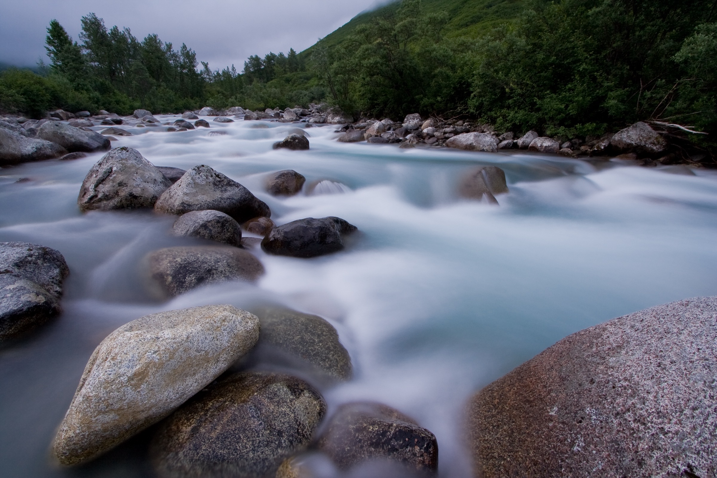
The trail leaves the Gold Mint Trailhead at mile 14 of Palmer–Fishhook Road and follows the west bank of the Little Susitna River upstream, gradually gaining through the broad glacial valley. The lower half is easy-graded corridor walking through willow, spruce and open river-bank meadow with the surrounding Talkeetna slopes on both sides. The upper half of the valley steepens as the trail approaches the Mint Glacier basin at the head of the drainage, with old mining traces and boulder terrain in the upper section. The state brochure treats the full 25.7 km (16 mi) as the round-trip figure; many parties turn around short of the head of the valley and treat it as a flexible-length walk. Return is on the same route.
Why it is essential
The Gold Mint Trail is the longest representative day-hike in the Hatcher Pass set and the walk that most cleanly delivers the range’s glacial-valley scale: a broad Little Susitna corridor that gradually leaves the easier lower ground for steeper, more alpine terrain near the head of the valley. It is the natural single-corridor complement to the compact high-lake walks in the same catalogue.
Equipment
- Sturdy boots — long day, wet and muddy tread common
- Rain shell and warm layer
- Sun and wind protection on the open valley floor
- Water and treatment for river refills
- Bear spray, accessible on the pack
- Insect repellent through the summer months
- Offline map and GPS with route loaded
- Headtorch for late returns
Hazards and notes
- Long commitment; the full round-trip is at the strenuous end of a day-hike.
- Wet, muddy and boulder-strewn tread — particularly in the upper valley.
- Weather in the river corridor changes rapidly; storms can drop temperatures sharply.
- Bears (both black and brown) present in the drainage — carry spray and follow bear-aware food handling.
- Summer insects (mosquitoes and biting flies) are severe from June to August.
- Late snow can persist in the upper glacier-rimmed head of the valley.
- Palmer–Fishhook Road is generally paved to the trailhead; check current road status before travel.
GPX / route file
| Source | URL | Format | Notes |
|---|---|---|---|
| Alaska State Parks — Hatcher Pass brochure | dnr.alaska.gov | Official PDF brochure/map | Official managing authority; no GPX/KML exposed — do not reuse brochure cartography without checking terms |
Sources
2. Reed Lakes Trail
Snapshot
Itinerary
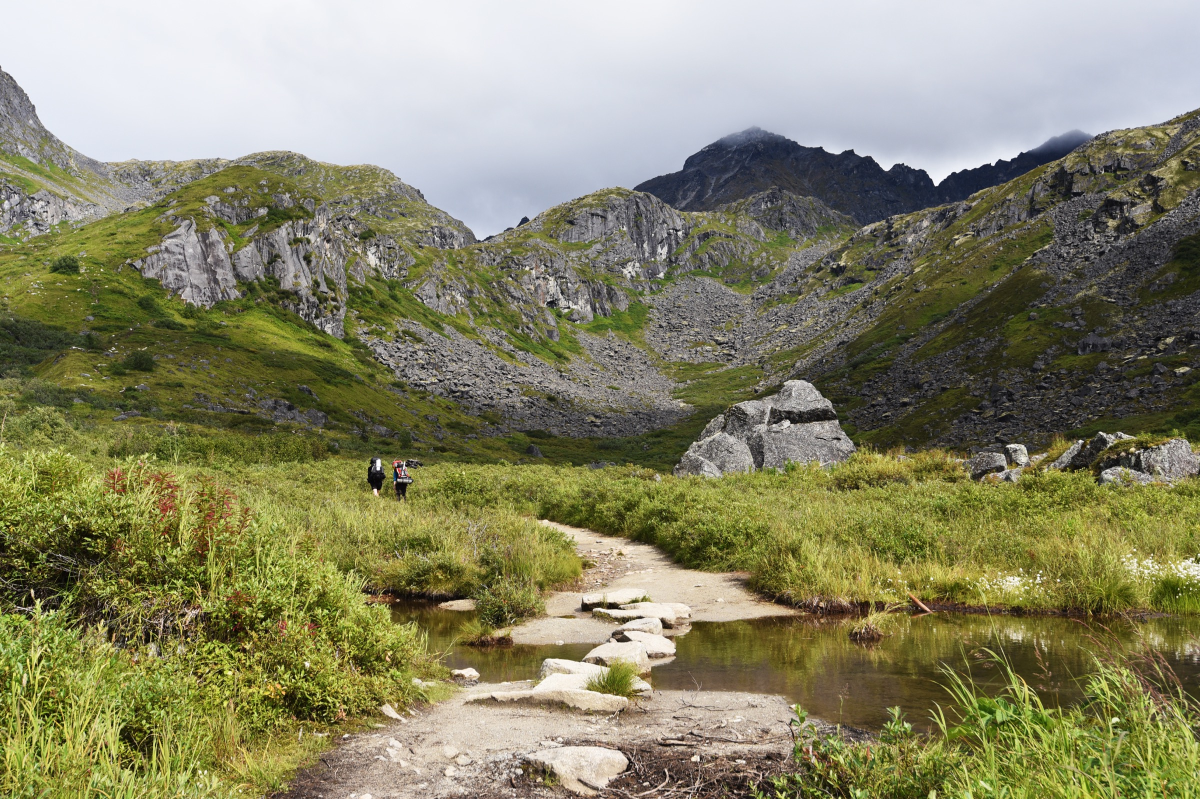
From the Archangel Road trailhead, the route follows Reed Creek past the lower valley on the alignment of an old mining road toward the Snowbird Mine area. Alaska State Parks describes the first 1.5 mi as easier old-road walking to an abandoned cabin, followed by a more challenging route through boulders and cairned terrain to Upper Reed Lake. The upper section threads a jumble of large boulders — cairn-following is essential and route-finding takes time in poor visibility. The lakes sit in a hanging cirque with the peaks of the eastern Hatcher Pass block above. Return is on the same route.
Why it is essential
Reed Lakes is the classic alpine-lake day-hike of Hatcher Pass — the route that most cleanly delivers the range’s turquoise-tarn character and the transition from old mining valley to hanging cirque in a single day. It is also the walk that most clearly rewards competent boulder-field navigation and is the standard “why go to Hatcher Pass” day for a strong walker.
Equipment
- Boots with good traction for the boulder field
- Trekking poles for the descent through the boulders
- Rain and warm layers
- Water and treatment for creek refills
- Bear spray
- Insect repellent through summer
- Offline map and GPS — cairn lines can be lost in poor visibility
Hazards and notes
- Boulder field: slick when wet, and cairns can be missing or misleading — allow generous route-finding time.
- Cold creek crossings and lake shores; hypothermia risk in a squall.
- Weather in the side-canyon changes rapidly.
- Bears active in the drainage.
- Summer insects severe.
- Archangel Road is unpaved and can be rough or slow — check current condition before travel.
GPX / route file
| Source | URL | Format | Notes |
|---|---|---|---|
| Alaska State Parks — Hatcher Pass brochure | dnr.alaska.gov | Official PDF brochure/map | Official managing authority; no GPX/KML exposed |
Sources
3. Gold Cord Lake Trail
Snapshot
Itinerary
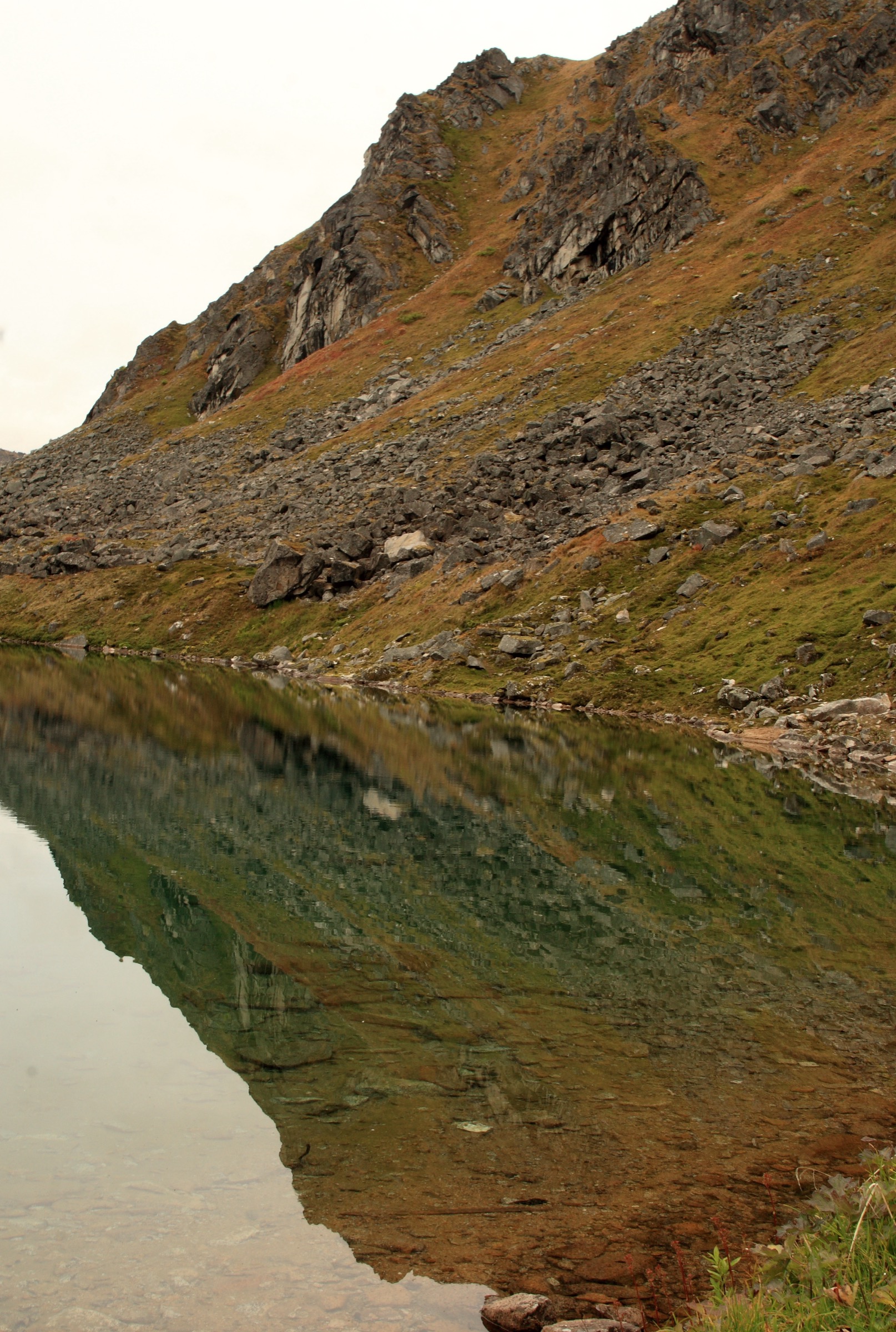
From the Independence Mine area parking, the trail climbs directly toward a small mountain lake above the historic mining landscape. The route gains most of its 244 m on a short, sustained grade through mining-era terrain and open alpine slope before opening into a small basin holding Gold Cord Lake. Return is on the same route. The lake sits within the wider Independence Mine State Historical Park landscape, so pairing this with the mine walking loop (Hike 5) is a natural half-day combination.
Why it is essential
Gold Cord Lake is the short alpine objective in the Hatcher Pass set — a route that delivers a real alpine tarn finish inside a small time budget and a strong choice for mixed groups who still want a real high-country destination rather than a car park viewpoint.
Equipment
- Hiking shoes or boots
- Rain and warm layer for the exposed high basin
- 1–1.5 L water
- Bear spray
- Sun and wind protection
Hazards and notes
- Short but steep climb; slick tread after rain or snow.
- High-country weather changes rapidly — a warm start can end in a squall.
- Historic mining remains around the trailhead — do not enter unstable structures.
- Bears active in the wider drainage.
- Independence Mine parking and site access are seasonal and managed by Alaska State Parks; day-use fees may apply.
GPX / route file
| Source | URL | Format | Notes |
|---|---|---|---|
| Alaska State Parks — Hatcher Pass brochure | dnr.alaska.gov | Official PDF brochure/map | Official managing authority; no GPX/KML exposed |
Sources
4. April Bowl Trail / Hatch Peak option
Snapshot
Itinerary
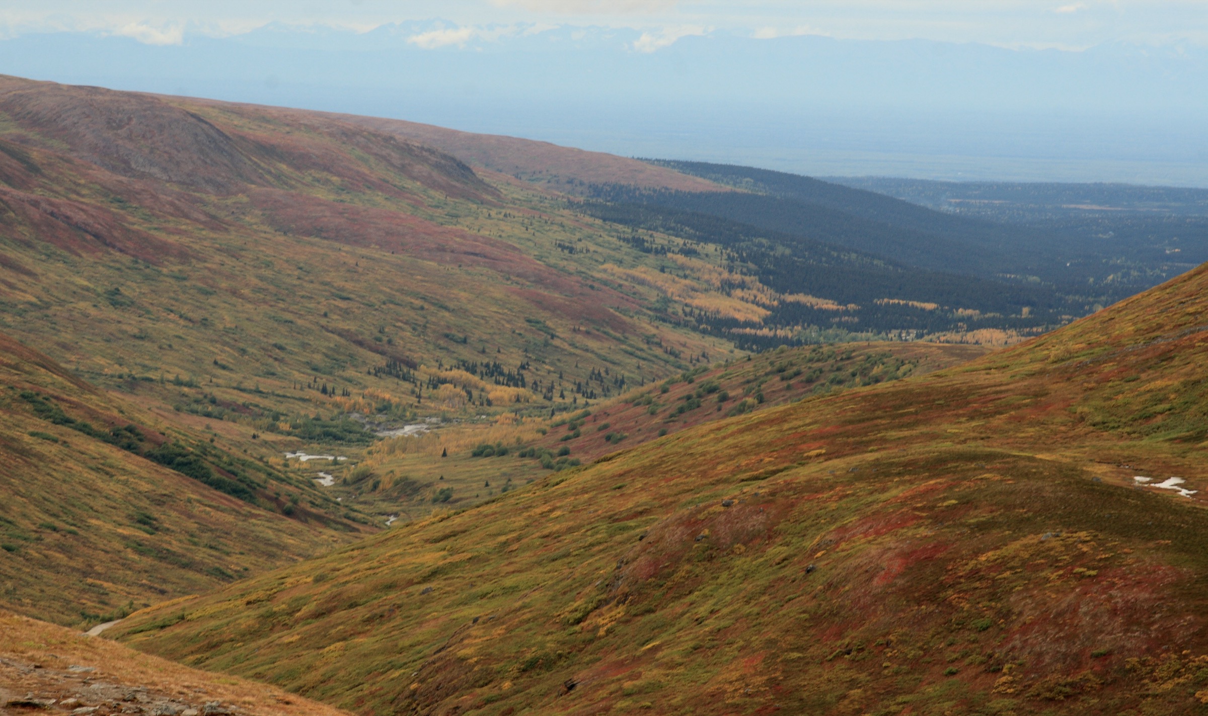
The trail leaves Summit Lake State Recreation Site and climbs switchbacks onto the ridge above the pass, opening into a small alpine bowl holding a pair of tarns — April Bowl — at the turn-around. Stronger walkers continue along the rougher, exposed ridge toward Hatch Peak at the head of the bowl, adding steeper tread, snow patches into late summer, and wind exposure. The pass and its immediate surroundings sit at approximately 1,184 m (3,886 ft) at the road summit, with the April Bowl objective slightly above; the exact ridge high point is not called out in the state brochure. Return is on the same route.
Why it is essential
April Bowl is the compact high-pass viewpoint route of the Hatcher Pass catalogue: short, scenic and highly sensitive to snow and weather. The Hatch Peak continuation adds a definite ridge finish for walkers looking for more, without extending into full alpine-day commitment. It is also the route that most cleanly delivers the Summit Lake state recreation site as a base rather than the Independence Mine hub.
Equipment
- Boots — tread is rough and includes late-lying snow
- Warm and windproof layers plus a rain shell
- Sun and wind protection on the ridge
- 1.5–2 L water
- Bear spray
- Navigation backup for the ridge continuation — visibility can collapse quickly
Hazards and notes
- Narrow, rough ridge tread on the Hatch Peak continuation.
- Snow patches into late summer and unpredictable summer squalls; Alaska State Parks flag that snow can fall any month at Summit Lake.
- Steep slopes on the bowl approach — care needed in wet conditions.
- Hatcher Pass Road upper section is rough, gravel, narrow, steep and summer-only; Alaska State Parks does not recommend it for RVs or larger vehicles.
- Bears active in the wider drainage.
GPX / route file
| Source | URL | Format | Notes |
|---|---|---|---|
| Alaska State Parks — Hatcher Pass brochure | dnr.alaska.gov | Official PDF brochure/map | Official managing authority; no GPX/KML exposed |
| Alaska State Parks — Summit Lake State Recreation Site | dnr.alaska.gov | Official state park page | Access and seasonal facts |
Sources
5. Independence Mine historic walking loop
Snapshot
Itinerary
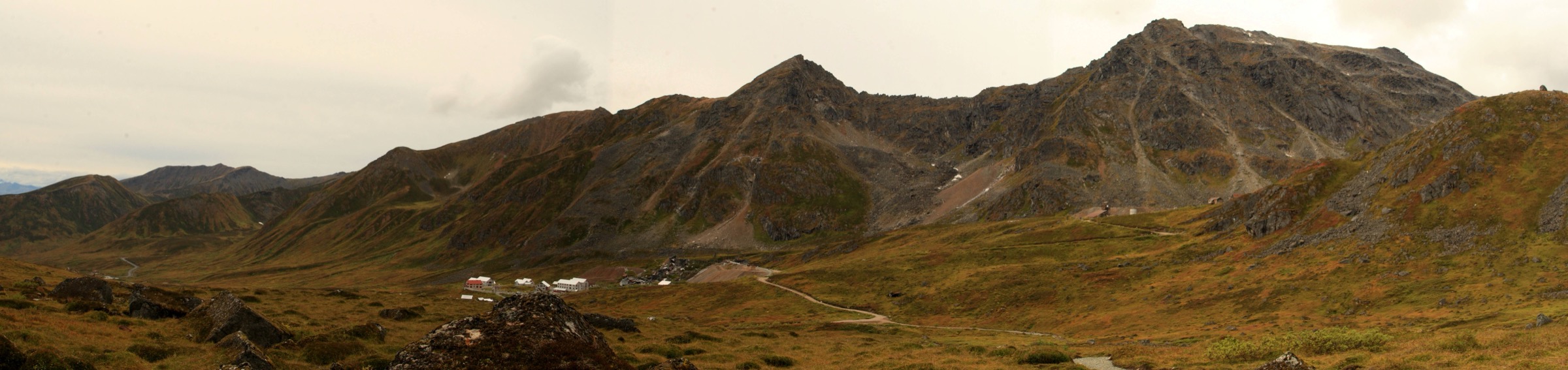
The walking circuit at Independence Mine State Historical Park links the surviving mine buildings, mill-town remains and interpretive paths on the upper Hatcher Pass bench with short spurs out into the surrounding alpine terrain. Alaska State Parks operates the park with seasonal staffing, visitor centre and interpretive signage, and the on-the-ground network is a mix of graded paths between buildings and rougher tread on the fringes. Distance and gain vary with the chosen line and are not called out as a single route figure in the state brochure. Pairing with the Gold Cord Lake climb (Hike 3) from the same parking area gives a complete alpine-plus-heritage half-day.
Why it is essential
The Independence Mine loop is the cultural anchor of the Hatcher Pass catalogue: mining cabins, mill-town remains, interpretive stops and immediate views into the surrounding Talkeetna high country. It is the walk that most cleanly links the geological and recreational history of the range to the modern alpine landscape and the standard first stop for a visitor working out of the upper pass.
Equipment
- Walking shoes or light boots
- Warm and rain layer
- Water
- Winter or shoulder-season traction if snow/ice is present
- Sun and wind protection
Hazards and notes
- Historic structures and mining remains — do not enter unstable buildings; obey interpretive signage.
- Uneven and rocky surfaces; slippery after rain, snow or in early season.
- Weather changes rapidly on the upper pass bench.
- Seasonal park operation — check current visitor centre hours and day-use fee status with Alaska State Parks before travel.
- Bears active in the wider drainage.
GPX / route file
| Source | URL | Format | Notes |
|---|---|---|---|
| Alaska State Parks — Hatcher Pass brochure | dnr.alaska.gov | Official PDF brochure/map | Official managing authority; no GPX/KML exposed |
Sources
Routes excluded as out of scope
The following sit inside or adjacent to the Talkeetna Mountains but fall outside a day-hike entry or are better treated in a neighbouring catalogue.
- Bomber Traverse. A classic Hatcher Pass alpine traverse linking huts across the range crest — a definitive multi-day trip, not a day-hike.
- Snowbird Glacier and Mint Hut approaches. Route corridors above Reed Lakes and Gold Mint that continue into hut country; treated as backpack or ski-touring objectives.
- Peters Hills and Denali View trails (northern Talkeetnas). Trails on the north-western flank of the range accessed from the Petersville and Susitna sides — long drives from Hatcher Pass and better treated on their own.
- Winter cross-country and skiing routes. Hatcher Pass has an established ski-touring and Nordic use pattern; those seasons are outside the summer day-hike scope of this entry.
Further reading
| Source | URL |
|---|---|
| Alaska State Parks — Hatcher Pass brochure (PDF) | dnr.alaska.gov |
| Alaska State Parks — Independence Mine State Historical Park | dnr.alaska.gov |
| Alaska State Parks — Summit Lake State Recreation Site | dnr.alaska.gov |
| Alaska State Parks — Hatcher Pass Management Area | dnr.alaska.gov |
| Wikipedia — Talkeetna Mountains | en.wikipedia.org |
| Wikipedia — Hatcher Pass | en.wikipedia.org |
| Wikipedia — Independence Mine State Historical Park | en.wikipedia.org |
| Wikimedia Commons — Hatcher Pass category | commons.wikimedia.org |
Missing data / follow-up work
- No official GPX/KML files are published by Alaska State Parks for the Hatcher Pass trail network; route geometry can be exported from OpenStreetMap for planning, but do not reuse state-brochure cartography without checking terms.
- Maximum elevations for Gold Mint, Reed Lakes, Gold Cord Lake and April Bowl are not stated in the Alaska State Parks brochure; the Hatcher Pass road summit at 1,184 m (3,886 ft) is the only officially quoted elevation datum. Verify against USGS topographic mapping before travel if the exact summit-or-lake elevation matters for a trip.
- The Independence Mine walking loop is described in the state brochure as a site walk rather than a single route with distance/gain figures; a first-hand pass on the site with a GPS log would resolve the missing numbers.
- Licence-compatible photographs of Hatcher Pass, Reed Lakes area, Gold Cord Lake, Summit Lake / April Bowl and the Independence Mine mining cabins have been identified on Wikimedia Commons under CC BY 2.0, CC BY-SA 2.0 and CC BY-SA 4.0 (contributors: code poet, Nathan Searles, shirley binn, An Errant Knight, Cecil Sanders). None have been downloaded or embedded here — resize to 2,400 px long edge before shipping and add figcaption credit blocks matching the site convention.
- Hatcher Pass Road, Palmer–Fishhook Road and Archangel Road have distinct seasonal opening dates and can be gated or rough after storms; confirm current status with Alaska State Parks or the Mat-Su Borough before travel.
- Bear-management updates for Hatcher Pass are worth checking with Alaska Department of Fish and Game before any trip in the drainage.