Regional overview
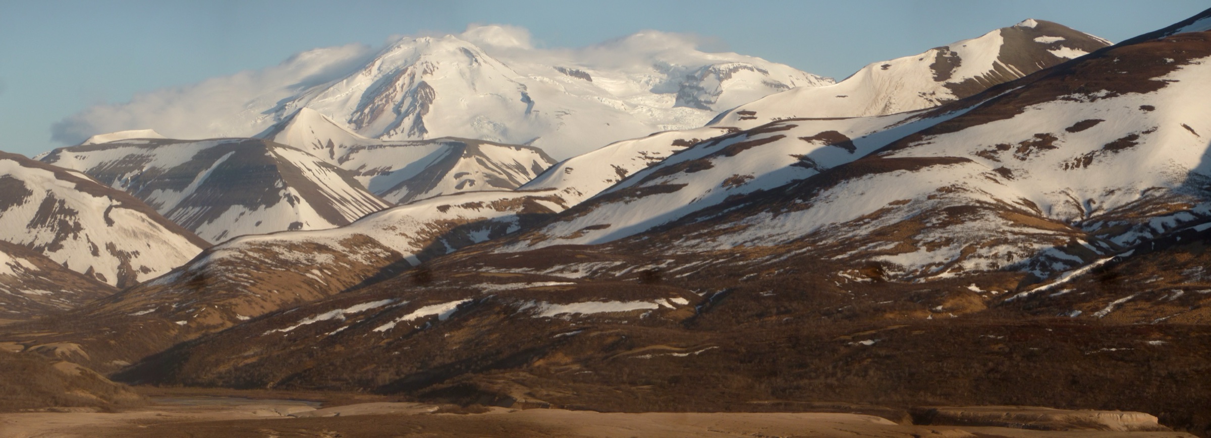
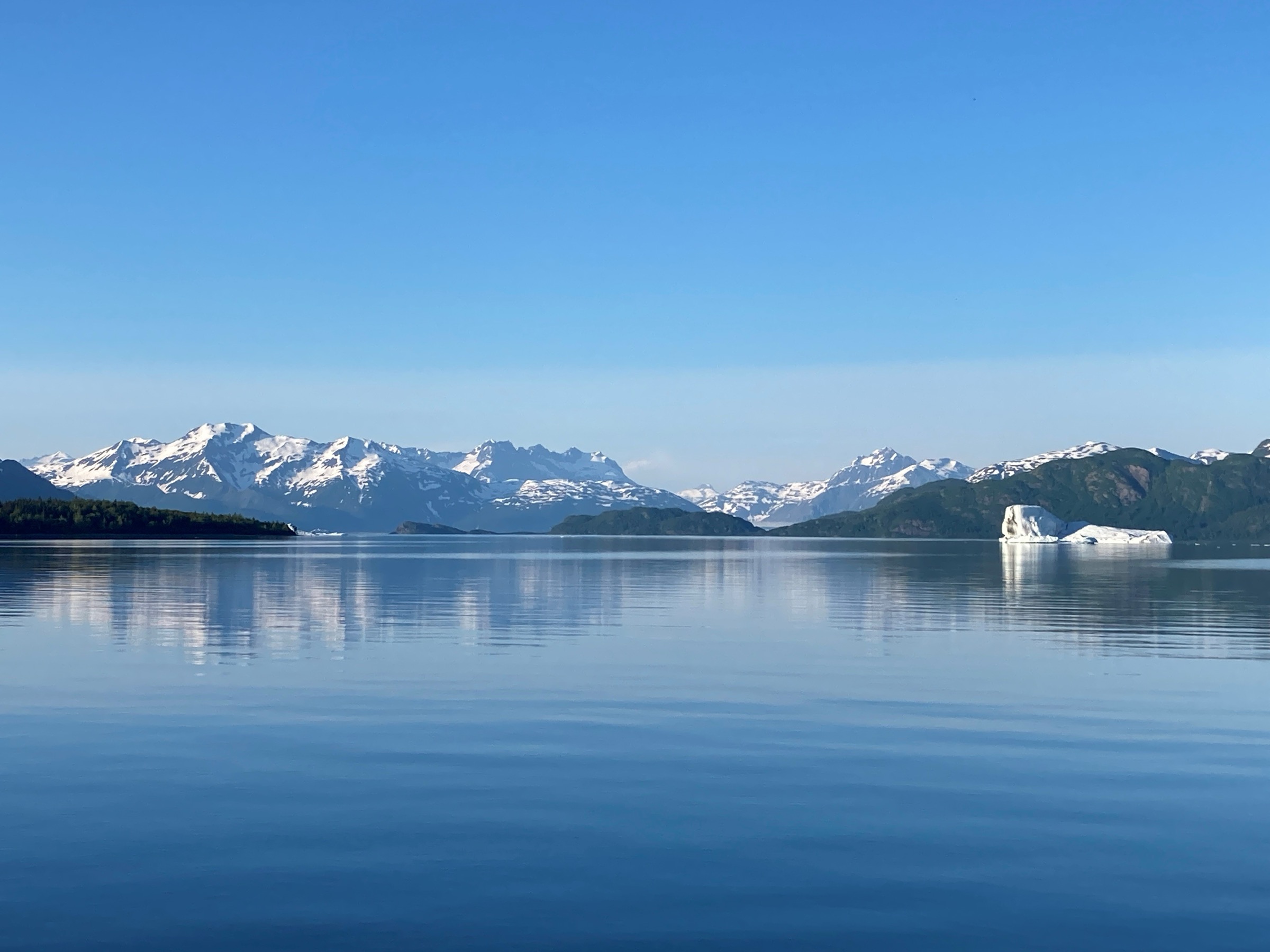
The St Elias Mountains are one of the hardest regions in this catalogue to reduce to normal day-hikes. The high mountains, icefields, and coastal wilderness around Yakutat, Russell Fjord, Hubbard Glacier and the Malaspina Glacier are vast, wet, remote and often trail-less. The National Park Service explicitly notes that the Yakutat and coastal area of Wrangell–St Elias National Park has no park trails, while nearby Tongass National Forest and Yakutat-area routes provide the practical documented walking options.
This entry therefore treats the region as a Yakutat / St Elias coastal-foreland walking catalogue rather than a high-alpine trail catalogue. Routes are included only where an official NPS or ADF&G source identifies a trail or hiking opportunity. Published distance, elevation gain, and GPX/KML data were thin at the time of writing; unresolved values are left unresolved, and users should reconfirm the current status with the Yakutat Ranger District and land managers before travel.
Selection rationale
Five selections balance glacier-lake scenery, fjord access, salmon-river rainforest, lake and headwaters wildlife habitat, and coastal beach walking. They are the most defensible documented day-walks for the St Elias coastal side — Harlequin Lake Trail for a glacier-fed iceberg lake, Russell Fjord Trail for direct fjord access, Situk River Trail for a classic Southeast Alaska salmon-river corridor, Situk Lake Trail for the wildlife-rich headwaters, and Cannon Beach Walk for the Gulf of Alaska shoreline itself.
High-alpine and glacier-travel objectives on the Bagley Icefield, Mount St Elias, Mount Logan approaches and the Kluane side are explicitly excluded here — they are expedition ground, not day-hike ground.
Summary
| # | Hike | Trailhead / access | Route type | Distance | Gain | Difficulty |
|---|---|---|---|---|---|---|
| 1 | Harlequin Lake Trail | ~30 mi from Yakutat by NPS description | Short forested out-and-back | Unresolved | Low, unresolved | Easy–moderate |
| 2 | Russell Fjord Trail | Yakutat area, Russell Fjord Wilderness | Forest walk with optional beach continuation | Unresolved | Low, unresolved | Easy–moderate |
| 3 | Situk River Trail | Nine-Mile Bridge, ~9 mi east of Yakutat | River-corridor out-and-back or point-to-point | Unresolved | Low, unresolved | Easy–moderate |
| 4 | Situk Lake Trail | Situk River headwaters, Yakutat area | Out-and-back | Unresolved | Unresolved | Moderate |
| 5 | Cannon Beach Walk | Cannon Beach access near Yakutat | Flexible beach out-and-back | Flexible | Minimal | Easy–moderate |
1. Harlequin Lake Trail
Snapshot
Itinerary
From the Harlequin Lake trailhead the trail runs through coastal rainforest to the shore of Harlequin Lake, where icebergs calve from the Yakutat Glacier system into the lake. NPS describes the trail as located about 30 mi from Yakutat, reaching a lake that contains icebergs from Yakutat Glacier. Distance, gain and estimated time are not resolved in the official sources retrieved for this pass, so plan on official ranger-district conditions before setting out.
Why it is essential
Harlequin Lake is the most direct documented day-walk in this catalogue for a St Elias glacier-lake scene without glacier travel. It gives a ground-level view of the retreat front of Yakutat Glacier — one of the clearest short-walk expressions of coastal glacier change in the region.
Equipment
- Waterproof footwear and rain gear
- Warm insulating layer
- Bear-aware kit and bear spray, plus knowledge of its use
- Insect repellent
- Navigation backup (map / GPS)
- Water for the walk — treat any water taken from the field
Hazards and notes
- Bears and moose across the rainforest corridor.
- Wet, muddy rainforest tread — footing can be poor after rain.
- Cold, wet coastal weather at any season; hypothermia risk if wet through.
- Road-access conditions to the trailhead should be checked with the Yakutat Ranger District before departure.
- Route statistics are unresolved — distance, gain and time should be verified locally before travel.
2. Russell Fjord Trail

Snapshot
Itinerary
ADF&G describes the Russell Fjord Trail as a short forested route leading through Tongass rainforest to the open water of Russell Fjord. From the shore, a beach continuation is possible when tides allow, giving a longer half-day option along the fjord edge. Return is by the outward route.
Why it is essential
Russell Fjord is the most direct documented fjord-access walk on the St Elias coastal side. It contrasts the glacier-lake, salmon-river and beach representatives in this selection with the still, deep water of a Southeast Alaska fjord — the kind of setting that defines the coastal edge of the St Elias massif.
Equipment
- Waterproof footwear and rain gear
- Warm and wind layers
- Bear-aware kit and bear spray
- Tide table and awareness for any shore travel
- Insect repellent
- Navigation backup
Hazards and notes
- Tide exposure if extending along the beach — check tide tables and turnaround times before setting off.
- Bears and moose in the rainforest corridor.
- Wet forest tread and cold, wet coastal weather.
- Route statistics are unresolved and should be reconfirmed with the Yakutat Ranger District.
3. Situk River Trail
Snapshot
Itinerary
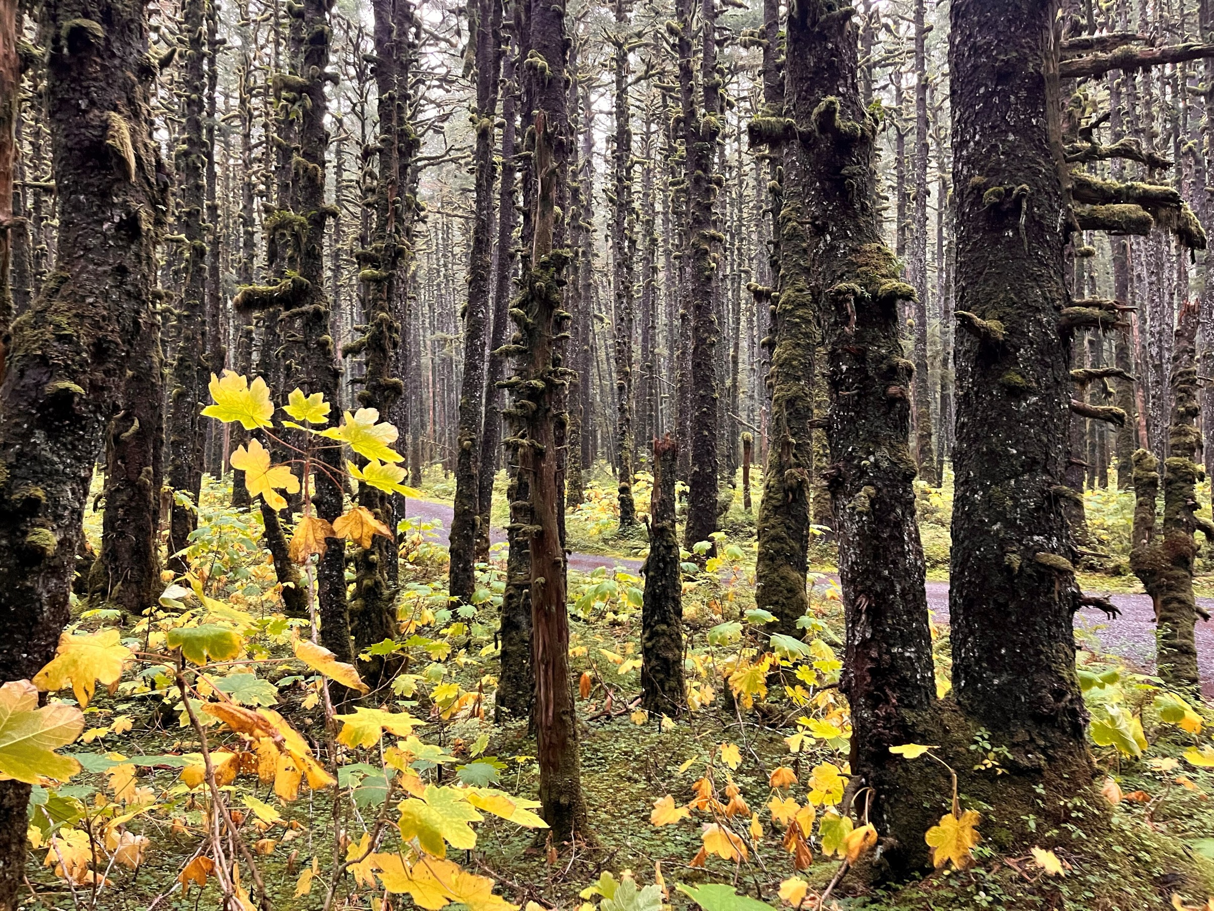
The Situk River Trail follows one of Alaska’s best-known fish-producing river corridors. NPS places the trail about 9 mi east of Yakutat, and ADF&G identifies Nine-Mile Bridge as the beginning of the route, with the trail ending at a USFS cabin on the river. The walking follows the rainforest riverbank; distance, gain and time are not resolved in the retrieved official sources.
Why it is essential
The Situk represents the rainforest-river ecosystem that links the St Elias icefield margins to the Gulf of Alaska. ADF&G notes five Pacific salmon species, Dolly Varden trout and a major steelhead run in the Situk system. For the catalogue, this is the essential salmon-river walk on the St Elias coastal side.
Equipment
- Waterproof footwear and rain gear
- Warm layer
- Bear-aware kit and bear spray — bears concentrate in salmon habitat
- Insect repellent
- Navigation backup
- Water and food for a long half-day
Hazards and notes
- Bears in salmon habitat — assume high activity through the salmon and steelhead runs.
- Wet, muddy tread and riverbank erosion.
- Insects can be intense in warmer months.
- Cold rain at any season on the Yakutat coast.
- No route-specific stats resolved — verify against a current map before travel.
4. Situk Lake Trail
Snapshot
Itinerary
ADF&G lists Situk Lake as the headwaters of the Situk River, with a trail providing access from the road system to the lake. The route runs through wet coastal forest and skirts prime moose and bear habitat before reaching the lake shore. Official distance, gain and time are unresolved in the retrieved sources.
Why it is essential
Situk Lake is the headwaters counterpart to the Situk River corridor. ADF&G describes the lake and forest wildlife-viewing values — swans, waterfowl, passerines, and bear and moose habitat — and it adds a lake objective to a region otherwise dominated by fjord, river, glacier-lake and beach walking.
Equipment
- Waterproof boots and rain gear
- Warm layer
- Bear-aware kit and bear spray — moose and bear habitat is specifically flagged
- Insect repellent
- Navigation backup
- Water and food for a moderate half-day
Hazards and notes
- Prime moose and bear habitat on ADF&G’s description — carry bear spray and use noise on blind sections.
- Wet rainforest tread and remote conditions — help is far away.
- Cold, wet coastal weather at any season.
- No official route statistics — verify against a current map and with the Yakutat Ranger District.
5. Cannon Beach Walk
Snapshot
Itinerary
NPS identifies Cannon Beach as a wide sandy beach lined with spruce and hemlock and suitable for hiking. The walk is a flexible beach out-and-back — pick a turnaround based on tide, weather, and time available. This is the coastal-beach representative for the St Elias / Yakutat side rather than a mountain trail, but it is part of the same mountain-to-sea landscape: Gulf of Alaska shore, rainforest edge, and weather systems moving off the St Elias ice and coastal ranges.
Why it is essential
Cannon Beach is the most straightforward Gulf of Alaska coastal walk in the Yakutat area with an explicit NPS hiking-opportunity listing. It closes the mountain-to-sea arc of the selection.
Equipment
- Waterproof footwear
- Rain and wind layer
- Warm insulating layer
- Tide table and awareness
- Bear-aware kit — bears use the forest edge
- Sun protection when clear
Hazards and notes
- Tides and surf — check tide tables and stay clear of the rising-tide window on any long walk.
- Driftwood on high beach and log rolls at the wave line are a common coastal injury source.
- Cold wind and rain at any season.
- Bears work the forest edge behind the beach.
- No route statistics resolved — plan the walk against a tide table and current forecast rather than a set distance.
Further reading
| Source | URL |
|---|---|
| NPS Wrangell–St Elias — Yakutat and Coast Trails | nps.gov |
| NPS Wrangell–St Elias — Day hiking overview | nps.gov |
| ADF&G — Yakutat Wildlife Viewing (Yakutat trails) | adfg.alaska.gov |
| Seatrails — Harlequin Lake Trail (route page) | seatrails.org |
| Seatrails — Russell Fjord Trail (route page) | seatrails.org |
| Seatrails — Situk River Trail (route page) | seatrails.org |
| Seatrails — Situk Lake Trail (route page) | seatrails.org |
| USDA Forest Service — Tongass National Forest | fs.usda.gov |
| Wikipedia — Saint Elias Mountains | en.wikipedia.org |
| Wikimedia Commons — Category: Saint Elias Mountains | commons.wikimedia.org |
| OpenStreetMap (ODbL 1.0) | openstreetmap.org |