Regional overview
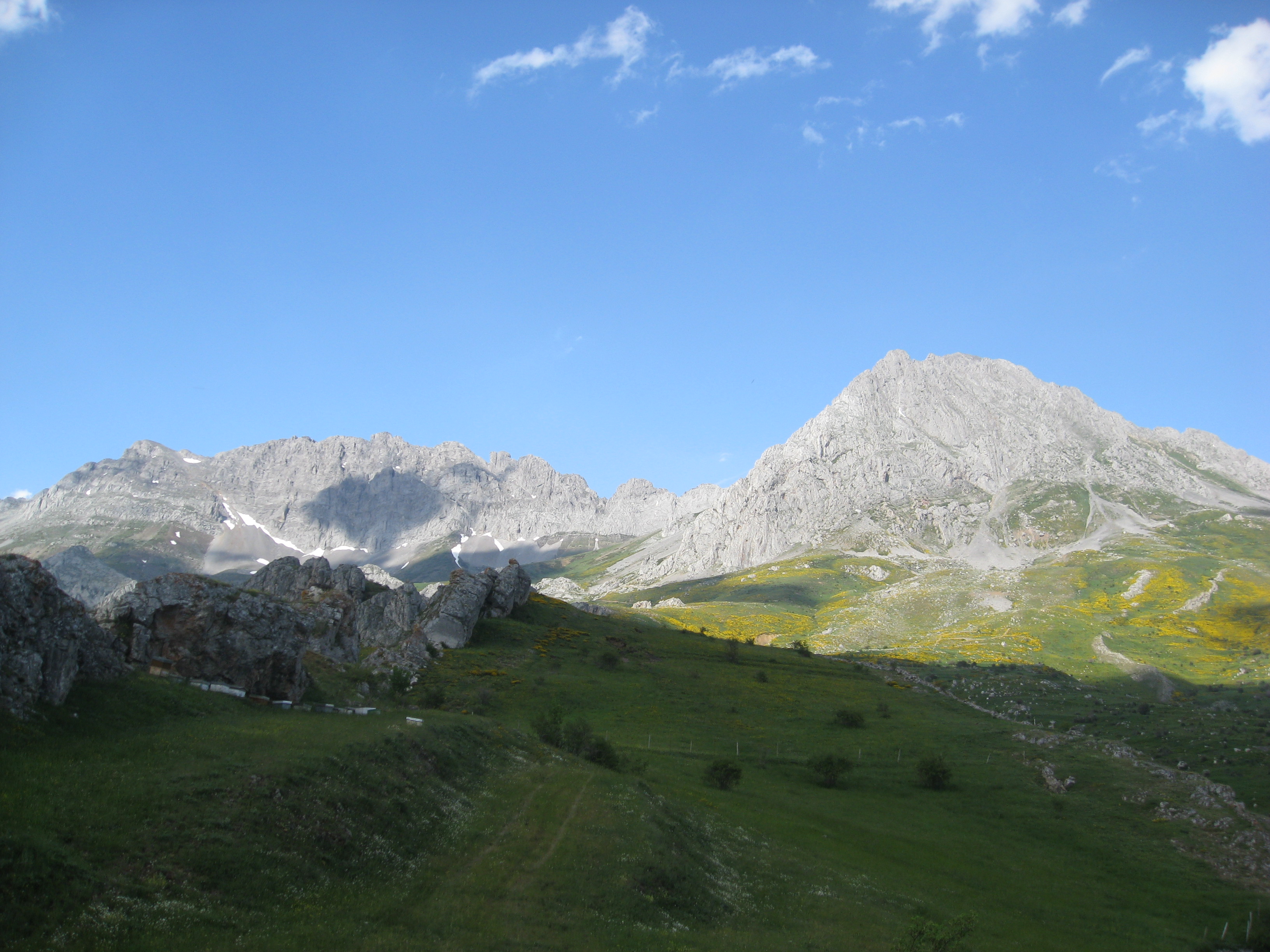
This region covers the western half of the Cantabrian mountain system, centred on Somiedo, Las Ubiñas-La Mesa and Os Ancares. The walking character is green, Atlantic and pastoral: glacial lakes, limestone ridges, high summer pastures, beech woods, holly woods, brañas, teitos and remote summit ridges.
Somiedo is a UNESCO Biosphere Reserve and an important Cantabrian brown-bear area. Las Ubiñas-La Mesa is higher and more alpine in feel, with Peña Ubiña rising above 2,400 m. Os Ancares, on the Galicia–León edge, is a more rounded but still rugged mountain area, with strong cultural and ecological importance.
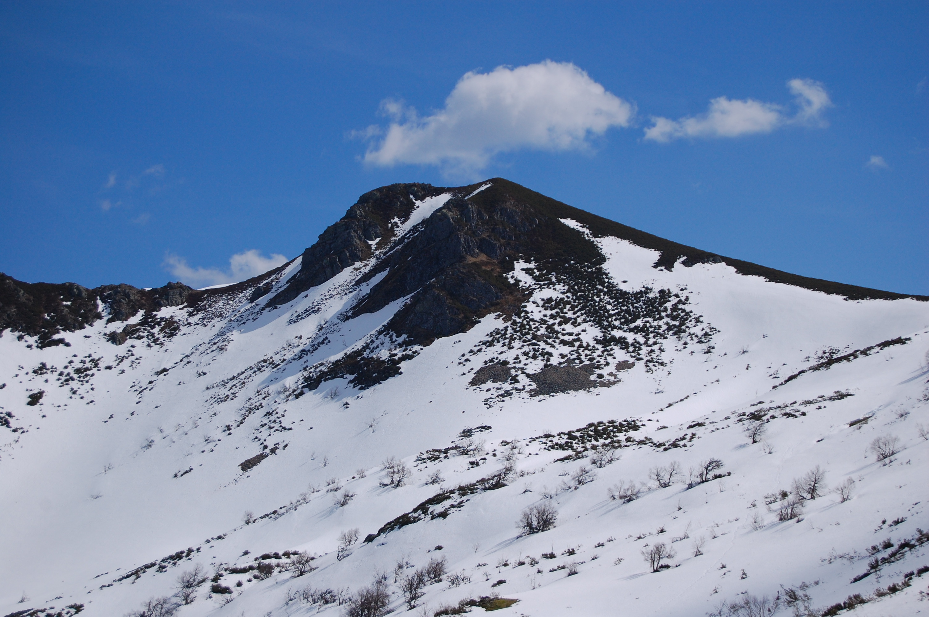
The normal non-technical walking season is late spring to autumn. Snow, fog, Atlantic weather, wet river crossings and high-mountain exposure can make the higher routes significantly more serious outside settled summer conditions. Livestock guardian dogs are present on some routes; dogs should be kept on a lead, and walkers should avoid livestock and mastiffs.
Selection rationale
The five selected hikes give a balanced coverage of the region: two Somiedo glacial-lake classics, two Las Ubiñas mountain routes, and one representative Os Ancares summit route. They include a lake circuit, a pastoral glacial valley, a major summit, a high-pasture valley beneath the Ubiña massif, and a culturally significant frontier summit.
Summary table
| # | Hike | Country | Route type | Distance | Gain | Max elevation | Difficulty |
|---|---|---|---|---|---|---|---|
| 1 | Lagos de Saliencia | Spain | Loop | 7.6 km | 318 m | 1,738 m | Moderate |
| 2 | Valle de Lago — Lago del Valle | Spain | Loop | 14.6 km | 422 m | 1,587 m | Moderate |
| 3 | Peña Ubiña from Tuíza Riba | Spain | Out-and-back | 10.6 km | 1,191 m | 2,385 m official profile; 2,417 m summit | Very hard |
| 4 | Puerto de Agüeria from Ḷḷindes | Spain | Out-and-back | 11.53 km | 753 m | 1,546 m | Hard |
| 5 | Pico Tres Bispos from Albergue Ancares | Spain | Out-and-back | 14 km | c. 444 m, secondary source | 1,793 m | Moderate |
Note on route files. Route links are source references and may be replaced with project-owned GPX/KML files later.
1. Lagos de Saliencia

Snapshot
Itinerary
The route starts at Alto de la Farrapona, on the Asturias–León divide. It follows PR-AS 15 southwards towards Lago de la Cueva, then climbs on a broad former mining track to viewpoints above the lake. The route continues through high pasture and stony ground towards Lago Almagrera, Lago Cerveriz and Lago Calabazosa, also called Lago Negro. The return closes the loop around Lago de la Cueva and back to the pass.
Why it is essential
This is the most compact and accessible expression of Somiedo’s glacial lake landscape. It links several high lakes in one moderate circuit and uses an officially promoted route through Somiedo Natural Park and Biosphere Reserve.
Equipment
- Hiking shoes or boots
- Waterproof layer
- Warm layer
- Food and water
- Sun protection
- Map/GPS
- Mountain hiking equipment in early or late season if snow is present
Hazards and notes
The route is high enough for sudden weather changes, fog and lingering snow outside summer. It runs through Somiedo Natural Park and Natura 2000 protected areas. Dogs should be kept on a lead; avoid approaching livestock and mastiffs.
GPX / KML links
| Source | URL | Format | Notes |
|---|---|---|---|
| Turismo Asturias route page | turismoasturias.es | Source route page | Official source page. Use as official route reference. |
| Turismo Asturias — GPX | turismoasturias.es | GPX | Official download. Source geometry link included. |
| Turismo Asturias — KML | turismoasturias.es | KML | Official download. Source geometry link included. |
Further reading
2. Valle de Lago — Lago del Valle
Snapshot
Itinerary
The route starts from the parking area at Valle de Lago and follows the valley track towards Lago del Valle. After the first steady climb, the route turns towards the braña del Gabitón, where traditional teitos stand in the pastoral landscape. It then reaches the glacial Lago del Valle, continues along the lake wall and returns by a different side of the valley, passing near Santa María Magdalena before completing the loop back to Valle de Lago.
Why it is essential
This is the classic Somiedo valley-and-lake walk: glacial scenery, brañas, teitos, high pasture and a large mountain lake in a single day. It complements the higher Saliencia lake circuit with a longer route showing Somiedo’s cultural landscape.
Equipment
- Standard hiking equipment in summer
- Mountain hiking equipment if conditions are cold, wet or snowy
- Trekking poles recommended for the longer return and wet ground
Hazards and notes
Although the official page lists the route as all-year, snow and ice can affect the upper valley in winter and early spring. The route crosses protected Somiedo and Natura 2000 areas. Dogs should be on a lead; avoid livestock and mastiffs.
GPX / KML links
| Source | URL | Format | Notes |
|---|---|---|---|
| Turismo Asturias route page | turismoasturias.es | Source route page | Official source page. Use as official route reference. |
| Turismo Asturias — GPX | turismoasturias.es | GPX | Official download. Source geometry link included. |
| Turismo Asturias — KML | turismoasturias.es | KML link on source page | Official download link present on page. Direct KML URL not extracted; use source page. |
Further reading
3. Peña Ubiña from Tuíza Riba
Snapshot
Itinerary
The route starts in Tuíza Riba, crossing the village and entering the Ubiña massif. The first section has summer and winter variants, with the winter variant designed to avoid avalanche-risk areas in snow. The route climbs through pasture and limestone terrain to the Vega del Meicín, then continues to Collado Terreros at 1,933 m. From there the official description identifies the Canal Este as the more direct, technical and demanding line, with a softer variant via Collado Ronzón. The descent can be made by the ascent route or by the south side to avoid unstable scree.
Why it is essential
Peña Ubiña is one of the great summits of the western Cantabrian Mountains and the highest summit of the Las Ubiñas massif. It provides the high-mountain counterpoint to the lower lake and valley routes in Somiedo and Ancares.
Equipment
- Sturdy boots
- Warm layer
- Waterproofs
- Navigation backup
- Headtorch
- Enough food and water for a long day
- Trekking poles useful
- Winter equipment and experience required in snow or ice
- Helmet may be prudent in the Canal Este if parties are above
Hazards and notes
This is the most serious hike in the selection. Hazards include sustained ascent, scree, rocky steps, steep limestone terrain, fog, storms and snow. The official route notes avalanche-aware winter routing, high-mountain equipment, good physical condition, and that the route is not extremely technical outside winter but still requires security on mountain terrain.
GPX / KML links
| Source | URL | Format | Notes |
|---|---|---|---|
| Turismo Asturias route page | turismoasturias.es | Source route page | Official source page. Use as official route reference. |
| Turismo Asturias — GPX | turismoasturias.es | GPX | Official download. Source geometry link included. |
| Turismo Asturias — KML | turismoasturias.es | KML | Official download. Source geometry link included. |
Further reading
4. Puerto de Agüeria from Ḷḷindes
Snapshot
Itinerary
The route starts in Ḷḷindes, where the official page notes parking and route signage. It climbs into beech woodland, reaches El Colláu after roughly 2 km, then enters Foz Grande between Peña Rueda and Peña Arpín. The route crosses the river around kilometres 3 and 4, then emerges into open meadows and high-pasture terrain beneath the Ubiñas massif. The return follows the same way back to Ḷḷindes.
Why it is essential
Puerto de Agüeria represents the pastoral and forested side of Las Ubiñas. The official page describes the ascent from Ḷḷindes as one of the most symbolic routes in Las Ubiñas-La Mesa, with holly woods, livestock tradition and views into the Ubiña massif.
Equipment
- Sturdy boots
- Waterproof layer
- Warm layer
- Food and water
- Map/GPS
- Trekking poles
- Waterproof footwear useful for river crossings and wet ground
Hazards and notes
The route is hard and weather-sensitive. The river crossings in Foz Grande may be problematic after rain or snowmelt. Fog can complicate navigation in the open pasture section. Dogs should be kept on a lead; avoid livestock and mastiffs.
GPX / KML links
| Source | URL | Format | Notes |
|---|---|---|---|
| Turismo Asturias route page | turismoasturias.es | Source route page | Official source page. Use as official route reference. |
| Turismo Asturias — GPX | turismoasturias.es | GPX | Official download. Source geometry link included. |
| Turismo Asturias — KML / KMZ | turismoasturias.es | KML/KMZ links on source page | Official download links present on page. Direct KML/KMZ URLs not extracted; use source page. |
Further reading
5. Pico Tres Bispos from Albergue Ancares

Snapshot
Itinerary
The route starts from the parking area beside Albergue Ancares. The official Turismo de Galicia description says the road/path leads directly towards Pico Tres Bispos, passing Campa de Ortigoso with its holly wood and Campa de Tres Bispos. From there the path becomes harder and follows a narrow ridge path to the summit. The summit height is given as 1,793 m, and the official page lists the route as 7 km one way. A simple out-and-back therefore gives approximately 14 km.
Why it is essential
Pico Tres Bispos is one of the representative summits of Os Ancares. Turismo de Galicia describes it as one of the area’s most representative peaks, with the traditional explanation that bishops from Lugo, León and Astorga met there. It is also suitable for a day-hike catalogue because the official route is direct, recognisable and achievable by fit walkers in normal conditions.
Equipment
- Standard hiking equipment in dry summer weather
- Mountain hiking equipment outside midsummer
- Trekking poles useful
- Winter traction and appropriate experience may be required if snow or ice is present
Hazards and notes
The official page warns that in colder months the path can be covered in snow and recommends suitable clothing, footwear and hiking poles. It also describes rugged terrain and steep slopes. Fog can make the ridge and return navigation more serious. Os Ancares is bear and wolf country; normal low-impact wildlife practice applies, including keeping distance and not leaving food waste.
GPX / KML links
| Source | URL | Format | Notes |
|---|---|---|---|
| Turismo de Galicia route page | turismo.gal | Official route page / interactive map | Official source page. Use as official route reference. No direct GPX found. |
| Wikiloc — Tres Bispos desde Albergue Ancares | wikiloc.com | Source route / possible GPS download | Wikiloc route source. Secondary verification and source route link. |
| Komoot — Pico Tres Bispos loop | komoot.com | Source route / GPX likely login-gated | Komoot source route. Secondary source only; route is a longer loop variant, not the selected official out-and-back. |
Further reading
Further reading
| Source | URL |
|---|---|
| Spain.info — Somiedo Natural Park | spain.info |
| Spain.info — Las Ubiñas-La Mesa Natural Park | spain.info |
| Turismo de Galicia — Os Ancares | turismo.gal |
| Turismo Asturias — Lagos de Saliencia | turismoasturias.es |
| Turismo Asturias — Valle de Lago / Lago del Valle | turismoasturias.es |
| Turismo Asturias — Peña Ubiña | turismoasturias.es |
| Turismo Asturias — Puerto de Agüeria | turismoasturias.es |
| Turismo de Galicia — Pico Tres Bispos | turismo.gal |
| Wikiloc — Tres Bispos route | wikiloc.com |