Regional overview
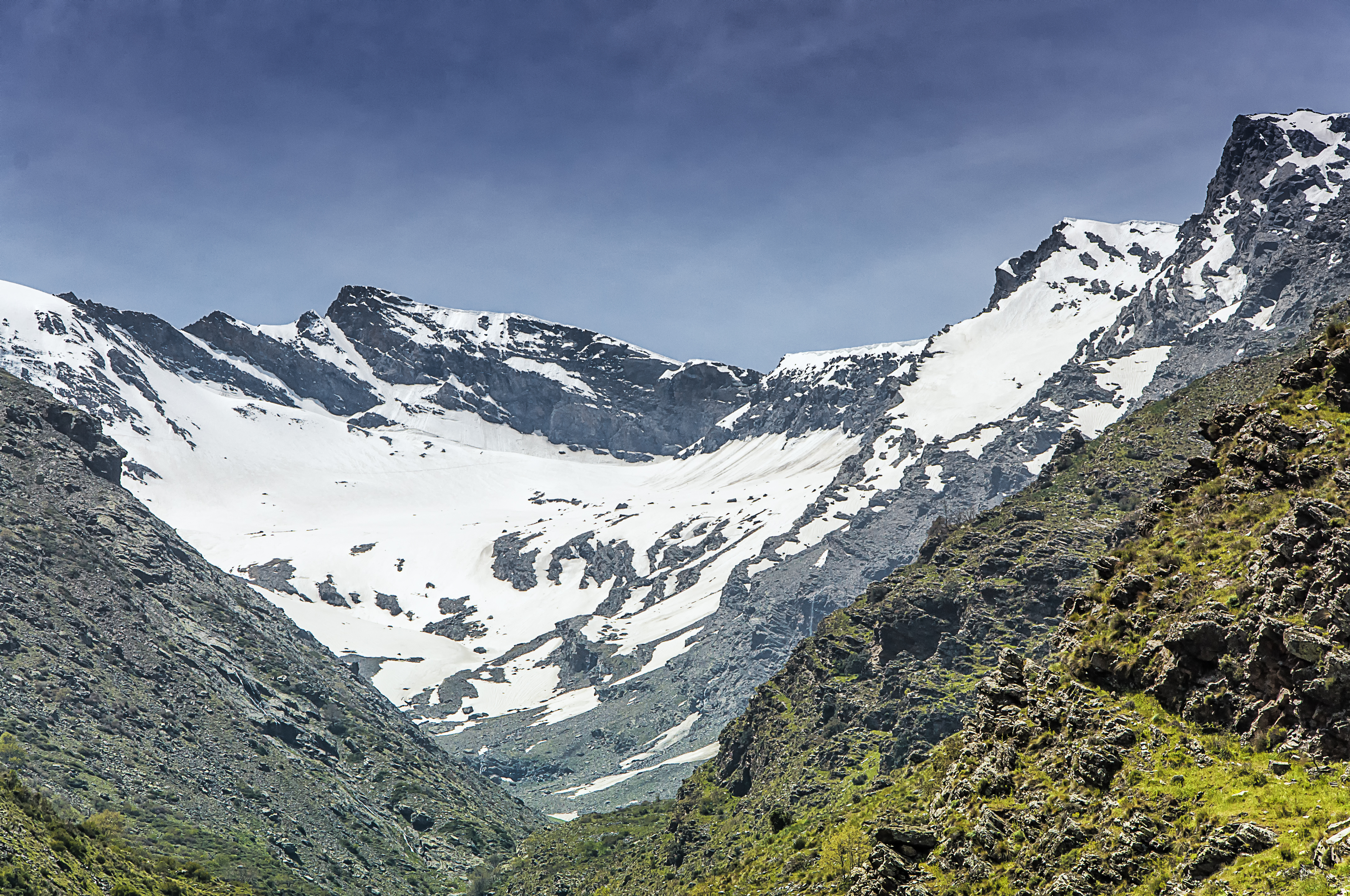
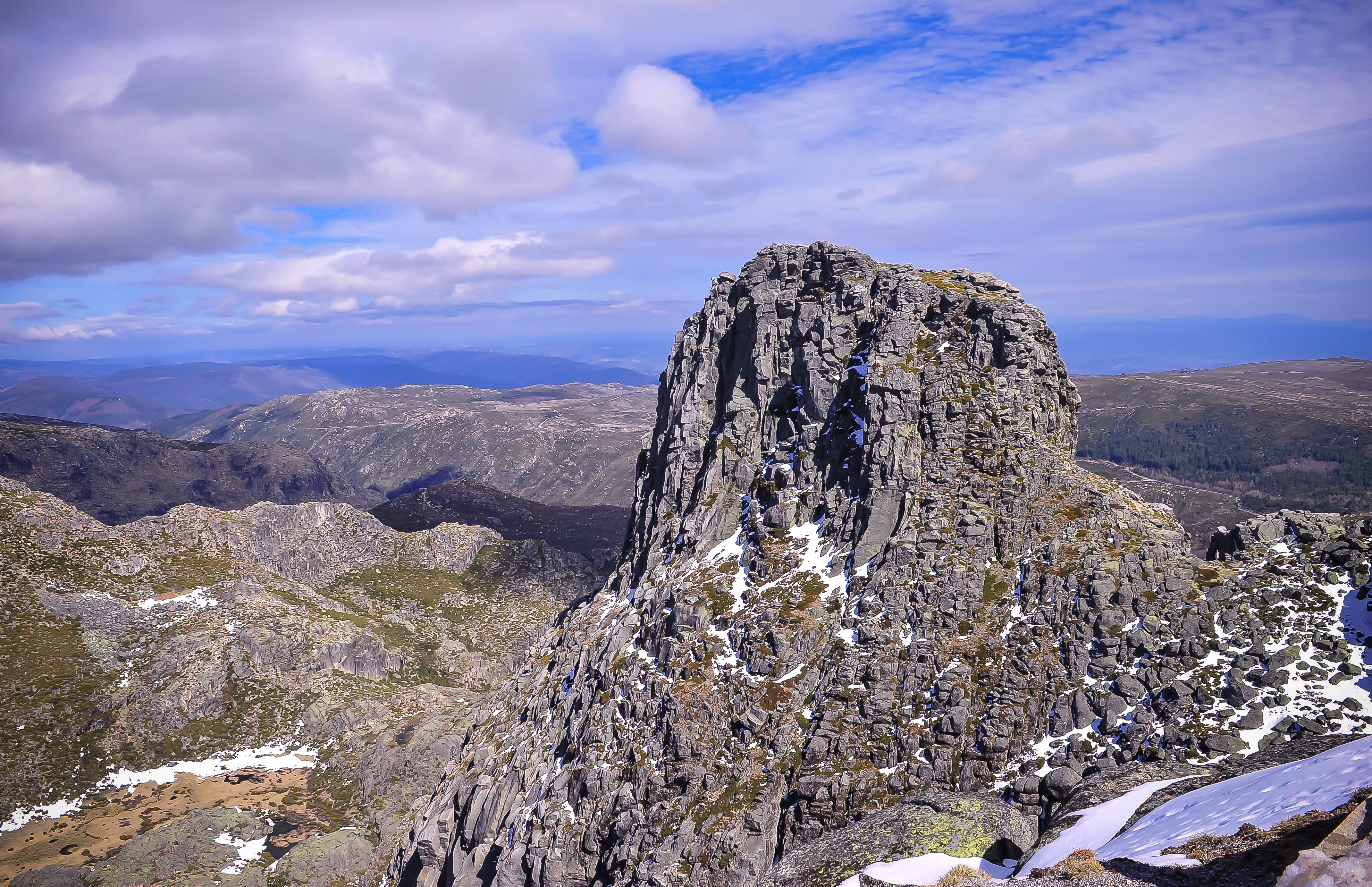
This region combines the highest mountains of mainland Iberia, the limestone and gorge landscapes of the Baetic ranges, and the glaciated uplands of Portugal. The Sierra Nevada is the dominant high-mountain area, with more than fifteen summits above 3,000 m, including Mulhacén, the highest peak in the Iberian Peninsula.
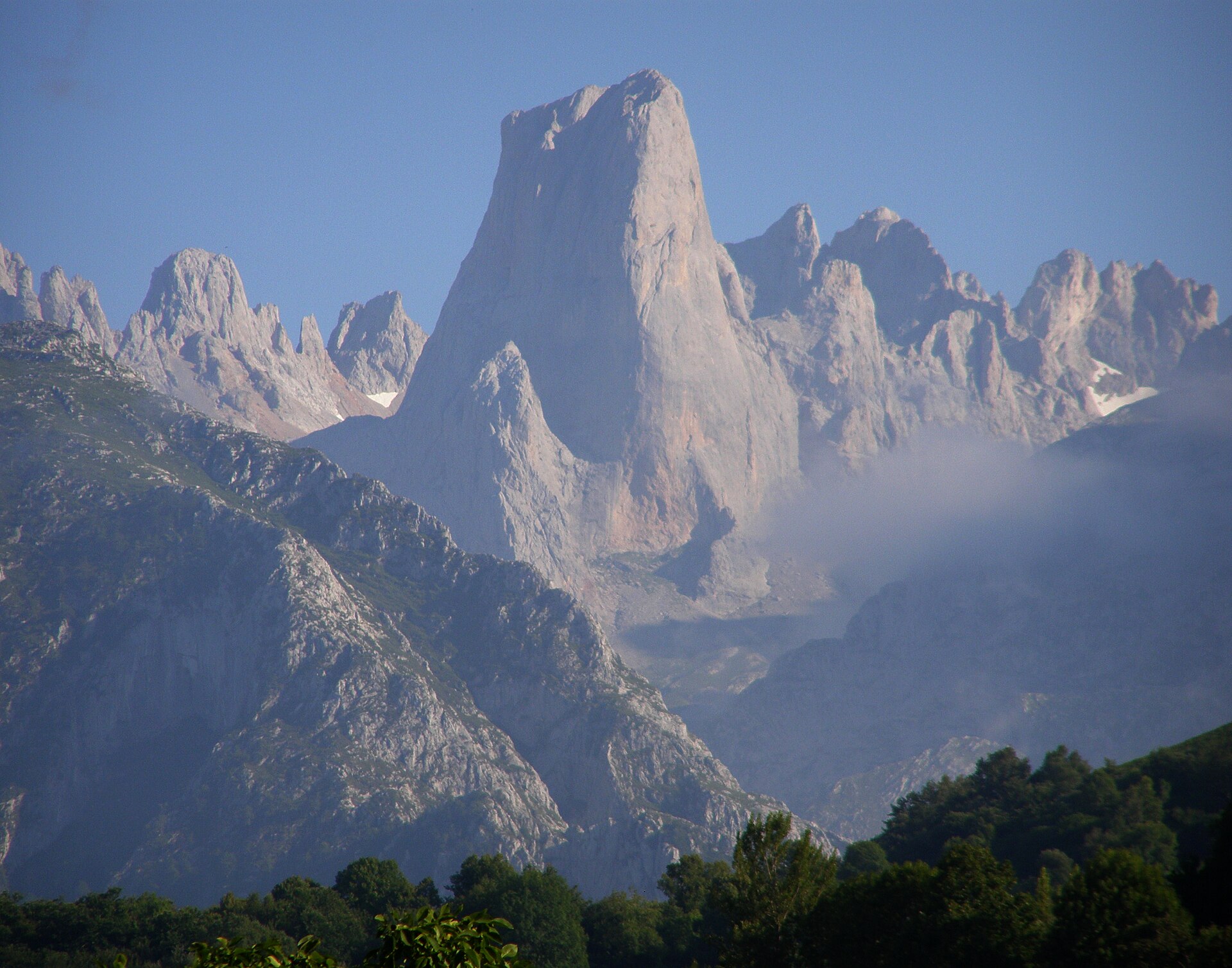
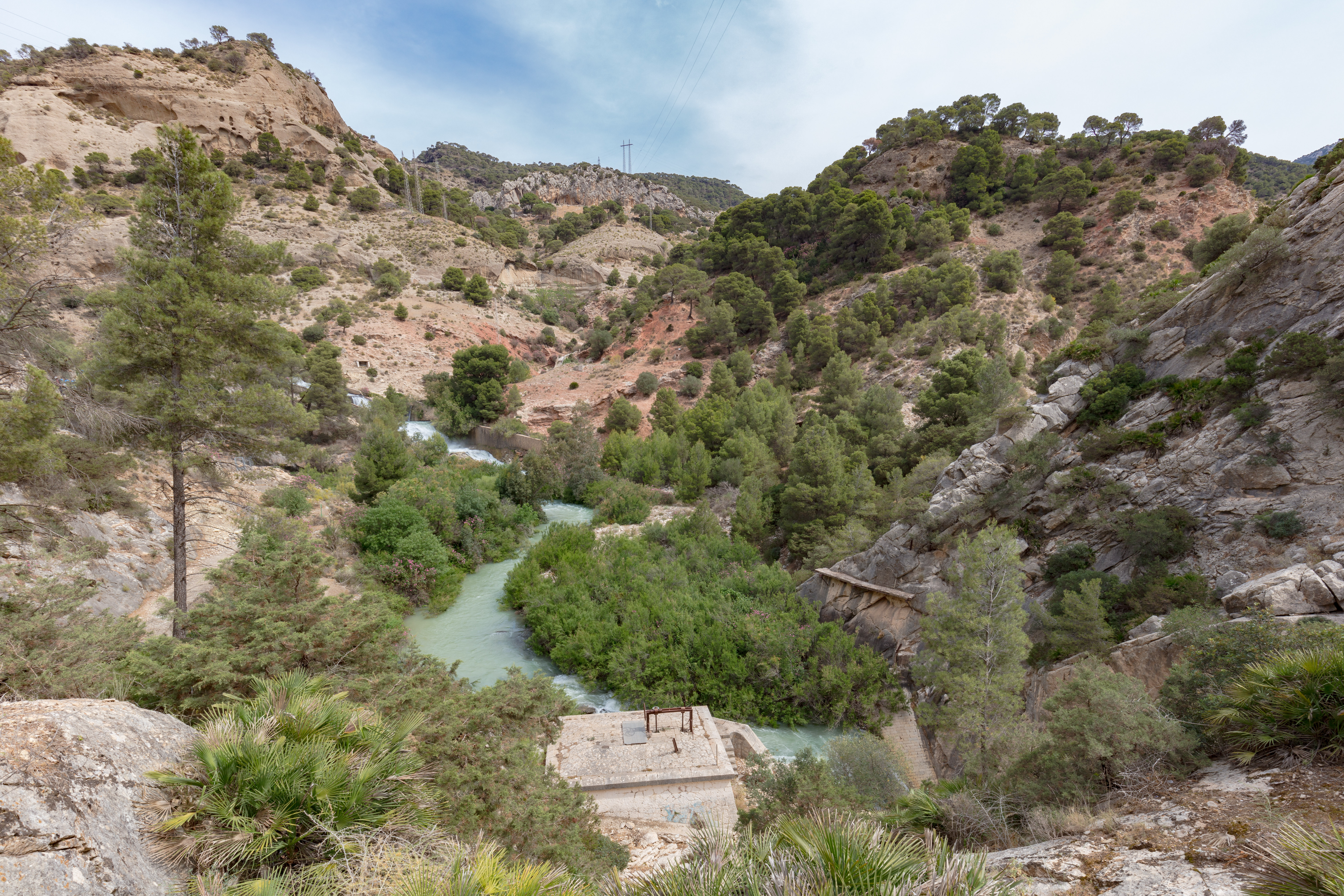
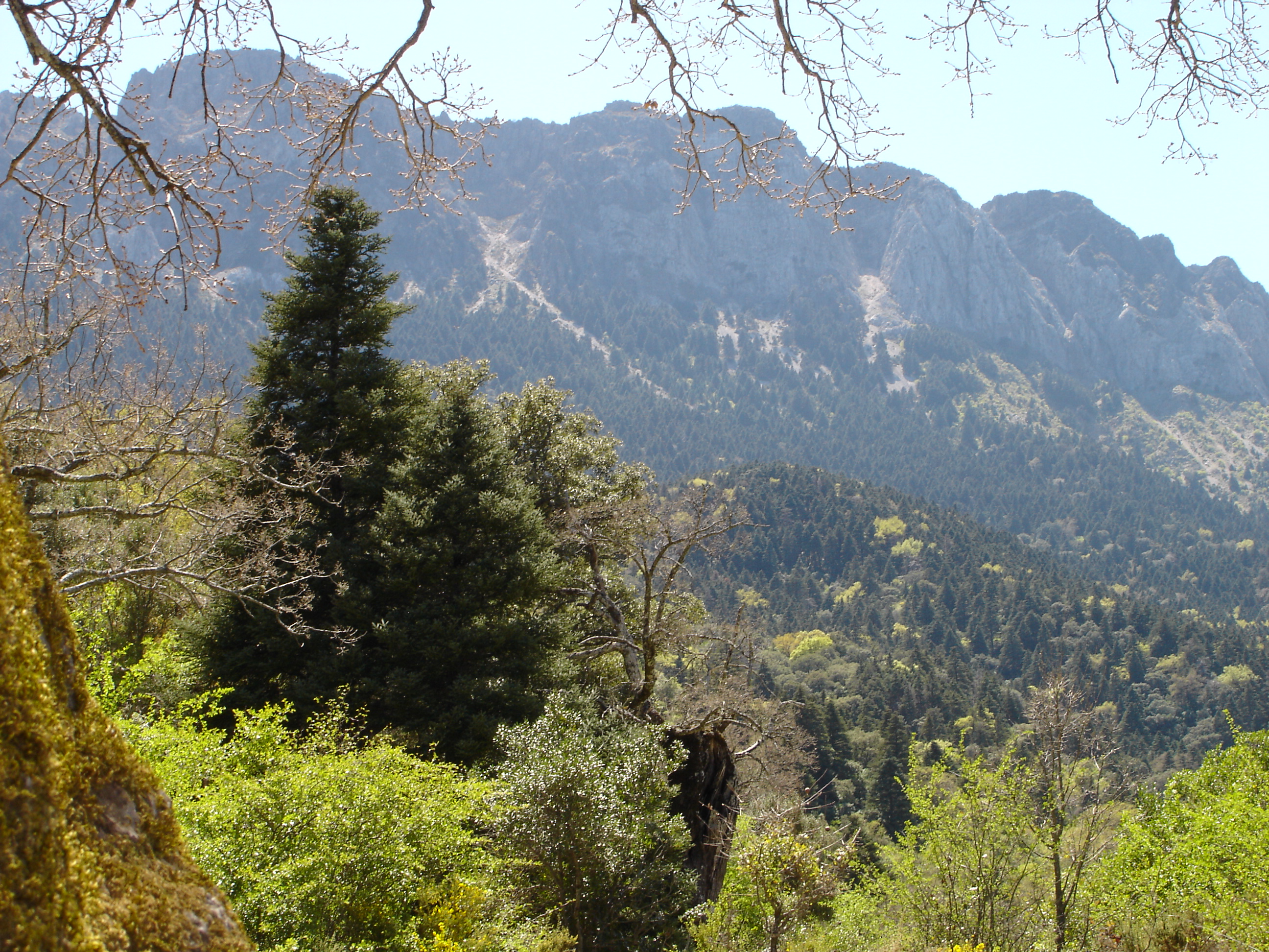
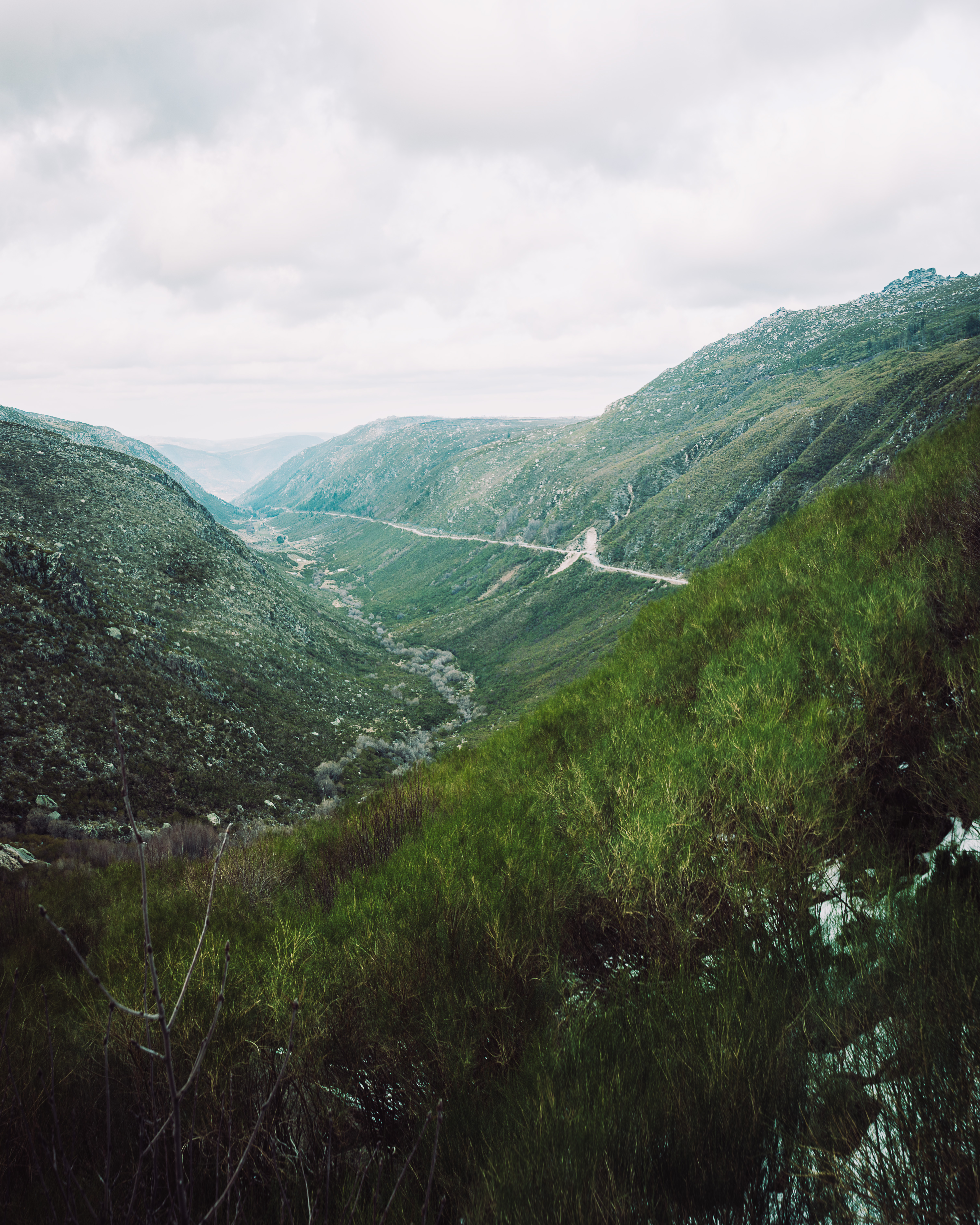
The Baetic ranges are more varied than a single massif: high schist summits, limestone sierras, deep gorges, karst plateaux, and relict forests all occur within Andalusia. Sierra de Grazalema is especially distinctive, with limestone massifs, karst morphology, high rainfall, and the relict Spanish fir forests of the pinsapo.
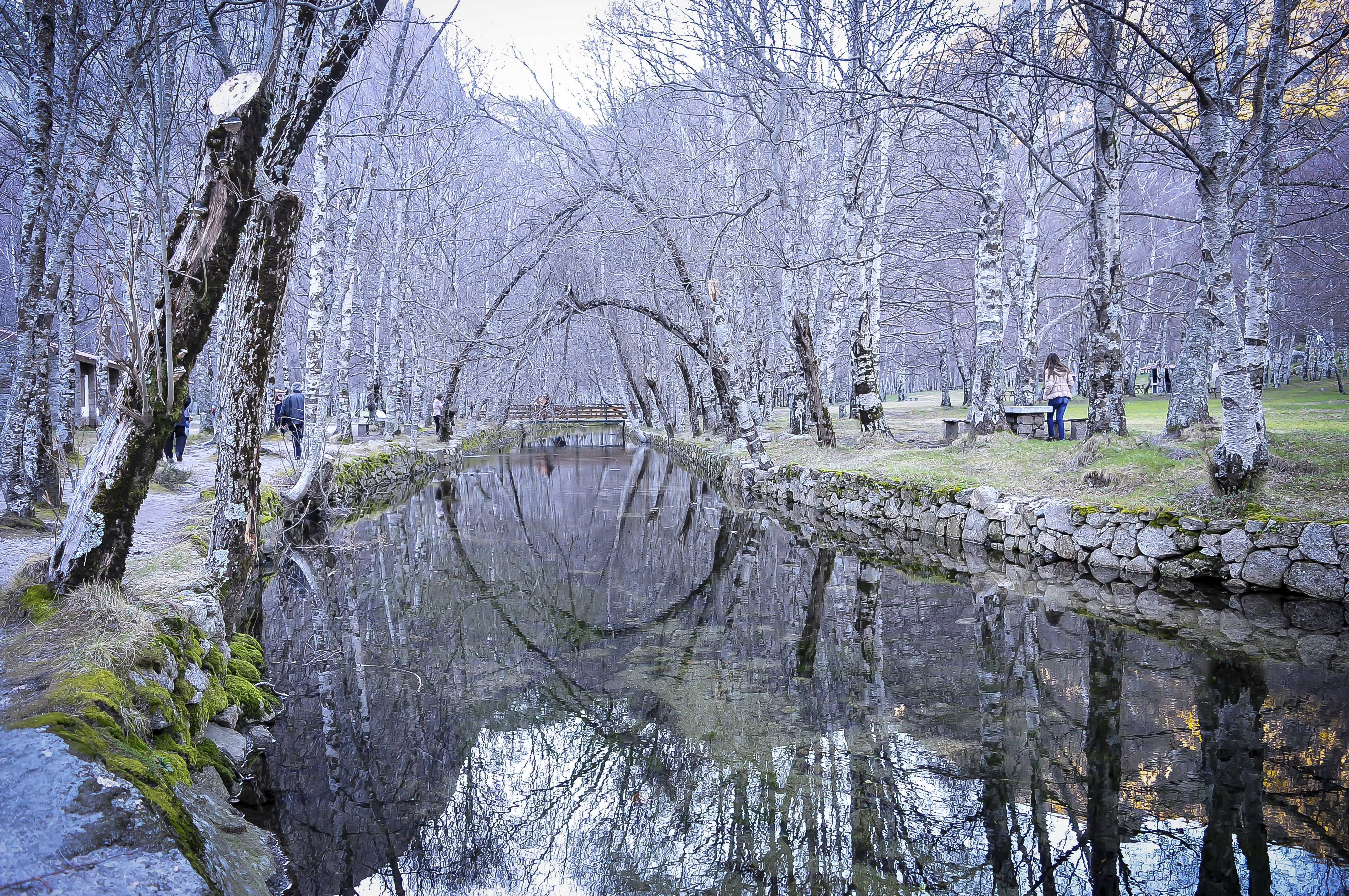
The Portuguese highlands are represented here by Serra da Estrela, Portugal’s largest protected area, with high plateaux, glacial valleys, lagoons, pastures, peat bogs, oak woods, and the source areas of major rivers including the Mondego and Zêzere.
The normal walking season is late spring to autumn, but this varies strongly by altitude. Sierra Nevada summit routes can hold snow into early summer and become serious in winter. Lower Andalusian limestone routes can be hot and dry outside spring and autumn. Serra da Estrela is exposed to winter snow, ice, fog, and strong wind.
Selection rationale
These five hikes were selected to represent the highest Iberian summit, the classic north-side Sierra Nevada valley route, an internationally recognised Baetic gorge walk, a protected relict forest route in the limestone sierras, and Portugal’s best-known glacial mountain landscape. The set deliberately avoids choosing five Sierra Nevada-only routes.
Summary table
| # | Hike | Country | Route type | Distance | Gain | Max elevation | Difficulty |
|---|---|---|---|---|---|---|---|
| 1 | Mulhacén from Hoya del Portillo | Spain | Loop | 25.9 km | +1,503 m | 3,479–3,482 m | Hard / strenuous |
| 2 | Vereda de la Estrella | Spain | Loop / lollipop | 18.97 km | c. +800 m (secondary) | Moderate–hard | |
| 3 | Caminito del Rey | Spain | One-way linear | 7.7 km | Not stated | Not stated | Easy–moderate, exposed |
| 4 | El Pinsapar, Sierra de Grazalema | Spain | One-way linear | 10.543 km | +330–380 m | c. 1,306–1,313 m | Moderate |
| 5 | PR6 MTG Rota do Glaciar / Zêzere Glacial Valley | Portugal | One-way linear | 17.2 km | c. +1,230 m net | 1,989 m | Moderate, long and exposed |
1. Mulhacén from Hoya del Portillo
Snapshot
Itinerary
The route starts at Hoya del Portillo, reached from Capileira by a long mountain access road. Official Sierra Nevada route information places Hoya del Portillo at about 2,150 m and describes the approach towards Puerto Molina, the firebreak, Cascajar Negro, and the Poqueira side of the massif. The full summit circuit follows high, open Sierra Nevada terrain towards Mulhacén, then returns by a variant through the Río Mulhacén / Poqueira side. The summit is the highest point in the Iberian Peninsula and one of the defining objectives of Sierra Nevada. The most complete GPS-stat source found for the Hoya del Portillo loop gives 25.9 km, 1,503 m of ascent and descent, and 9.5–11.5 hours.
Why it is essential
Mulhacén is the symbolic and geographical high point of mainland Iberia. This route gives a demanding but non-technical summer ascent from the south side, avoiding the need to start from the ski station while still crossing representative high Sierra Nevada terrain.
Equipment
- Sturdy boots
- Warm layer
- Weatherproof shell
- Sun protection
- Gloves and hat outside midsummer
- Map/GPS with backup
- Headtorch
- Food and sufficient water
- Trekking poles recommended
- Microspikes/crampons and ice axe may be needed when snow remains
Hazards and notes
This is a long high-altitude route with little shelter. Weather changes, wind, cloud, snow patches, and heat exposure are all significant. Navigation can become serious in mist. Early season snow can make the upper mountain a winter or alpine objective rather than a normal hike. Water availability should not be assumed above the trailhead.
GPX / KML links
| Source | URL | Format | Notes |
|---|---|---|---|
| Sunhikes GPS track: Mulhacén from Hoya del Portillo and Río Mulhacén | sunhikes.com | GPX / KML download source | Route file source found. Replace later with project-owned route geometry. |
| Fastest Known Time route page: Hoya del Portillo to Mulhacén | fastestknowntime.com | GPX source page | Useful secondary route geometry; one-way ascent variant, not the full catalogue loop. |
Further reading
- Junta de Andalucía — Hoya del Portillo / Refugio del Poqueira
- Junta de Andalucía — Sendero 16 Mulhacén
- Sunhikes route source
2. Vereda de la Estrella
Snapshot
Itinerary
The route begins and ends at Barranco de San Juan, at about 1,175 m according to the official MITECO route sheet. It crosses the Genil by a wooden bridge and follows the historic Vereda de la Estrella into the north side of the Sierra Nevada. The path passes the famous chestnut known as El Abuelo, the Viso viewpoint, and old mining sites including La Probadora and La Estrella, before continuing towards the Guarnón and Real valleys. The official circular version returns via the Calvario / Presidiarios area. The route is one of the classic Sierra Nevada approaches from the north, valued for views towards Alcazaba, Mulhacén, and Veleta, and for its historic mining and access-road character.
Why it is essential
Vereda de la Estrella is the classic balcony into the wild north face of Sierra Nevada. It provides major-mountain scenery without requiring a 3,000 m summit ascent, and it gives access to the historical mining landscape below the highest peaks.
Equipment
- Hiking shoes or boots
- Water
- Food
- Weatherproof layer
- Sun protection
- Map/GPS
- Trekking poles useful
- Extra water in warm weather
- Snow/ice equipment may be needed for higher return variants in winter or early spring
Hazards and notes
The route is long and can feel committing once deep in the valley. Heat, loose sections, stream crossings after storms, and snow on upper return paths are the main issues. The official MITECO page warns against poor weather and snow conditions.
GPX / KML links
| Source | URL | Format | Notes |
|---|---|---|---|
| MITECO official route page | miteco.gob.es | Source route page | Official description found; no official GPX found. |
| Wikiloc secondary route: Vereda de la Estrella | wikiloc.com | GPX source page | Secondary route-file source. Replace later with project-owned route geometry. |
Further reading
3. Caminito del Rey
Snapshot
Itinerary
Caminito del Rey is a regulated linear gorge walk through the Desfiladero de los Gaitanes. Spain.info gives the route as 7.7 km, normally taking 3–4 hours, walked one way from the Ardales side towards Álora / El Chorro. The route includes approach paths, suspended walkways, the Gaitanejo gorge, the Hoyo valley, and the Los Gaitanes gorge, where walkways run high above the river. The route is not a remote mountain hike, but it is one of the most famous walking routes in the Baetic ranges because of its engineered cliff walkways and gorge scenery. Tickets are required.
Why it is essential
Caminito del Rey is the iconic gorge walk of Andalusia. It represents the limestone gorge character of the Baetic ranges and is internationally recognised, but it remains a controlled, one-way walking route rather than a free-access mountain trail.
Equipment
- Comfortable hiking shoes
- Water
- Snacks
- Sun protection
- Weather-appropriate clothing
- Check current operator rules before departure
Hazards and notes
The main issue is exposure rather than physical difficulty. The route is unsuitable for walkers with significant fear of heights. Spain.info notes that the suspended-walkway section is about 2.9 km and that an alternative tunnel section may be used in wind or rain. Advance booking and current access rules should be checked before travel or departure.
GPX / KML links
| Source | URL | Format | Notes |
|---|---|---|---|
| Spain.info official Caminito del Rey GPX | spain.info | GPX | Official GPX found. Replace later with project-owned route geometry. |
| Spain.info source page | spain.info | Official route page | Route and GPX source verified. |
Further reading
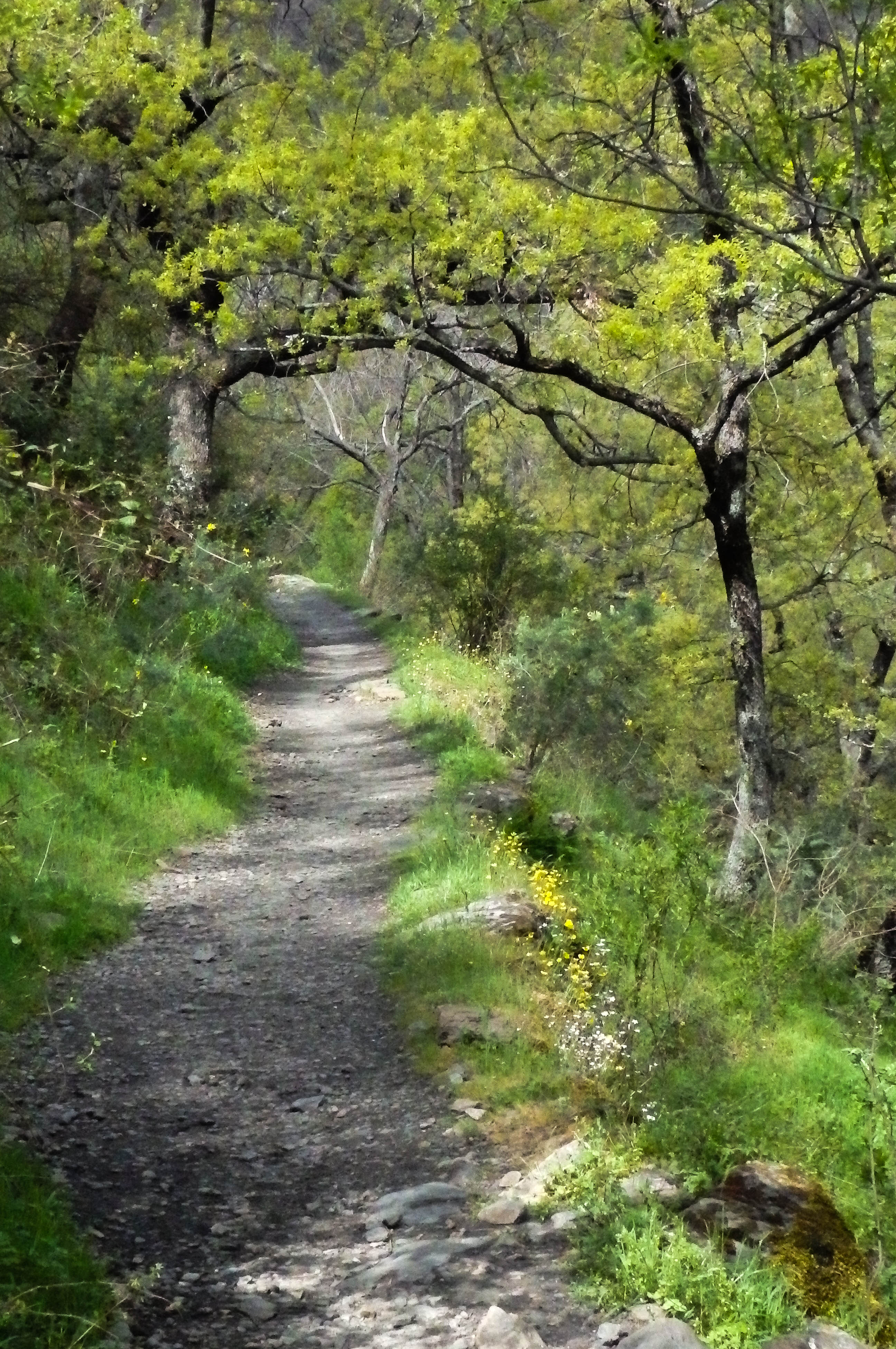
4. El Pinsapar, Sierra de Grazalema
Snapshot
Itinerary
The official route starts at Las Canteras or Los Areneros, near Grazalema. It climbs to Puerto de las Cumbres, with broad views across the Grazalema mountains, then enters the protected Spanish fir forest of Sierra del Pinar before descending towards Benamahoma. Junta route material gives the official distance as 10.543 km, a linear route, 4 h 30, and medium difficulty. This route crosses one of the best-known pinsapo forests, a relict fir woodland strongly associated with Sierra de Grazalema. The official page notes that administrative authorisation is required, pets are prohibited, and guided-company access applies during the June–October period stated on the source page.
Why it is essential
El Pinsapar represents a landscape absent from the Sierra Nevada summit routes: humid limestone mountains with a rare relict fir forest. It is one of the signature protected routes of Sierra de Grazalema and a strong Baetic counterpoint to the high schist terrain of Sierra Nevada.
Equipment
- Hiking shoes or boots
- Weatherproof layer
- Water
- Food
- Sun protection
- Map/GPS
- Sufficient water in warm weather
- Shuttle plan recommended because the route is linear
Hazards and notes
Authorisation is a major planning issue. Dogs are prohibited on the official route. Summer heat, fire risk, and access restrictions need checking before departure. Limestone paths can be slippery after rain. The official source gives the distance and time but not detailed ascent/descent; those elevation figures remain secondary.
GPX / KML links
| Source | URL | Format | Notes |
|---|---|---|---|
| Junta de Andalucía official El Pinsapar route page | juntadeandalucia.es | KML / GML source page | Official route-file source found on page. Replace later with project-owned route geometry. |
| Wikiloc El Pinsapar route source | wikiloc.com | GPX source page | Secondary route source. Replace later with project-owned route geometry. |
Further reading
5. PR6 MTG Rota do Glaciar / Zêzere Glacial Valley
Snapshot
Itinerary
PR6 MTG, Rota do Glaciar, links Manteigas with Torre through the Zêzere Glacial Valley. The official Manteigas Trails page identifies the route as linear, 17.2 km, with official minimum altitude 755 m and maximum altitude 1,989 m. It also provides GPX and KML track downloads. The route follows the major glacial trough of the Zêzere, passing or approaching key Serra da Estrela features such as Covão d’Ametade and the high Torre area. The official description emphasises the U-shaped glacial valley, steep granite slopes, and the geomorphological and cultural value of the landscape.
Why it is essential
This is the clearest day-hike representation of Portugal’s high mountain and glacial-valley landscape. It links the Serra da Estrela plateau with Manteigas through one of the country’s most recognisable mountain landforms.
Equipment
- Sturdy boots
- Weatherproof layer
- Warm layer
- Sun protection
- Water
- Food
- Navigation backup
- Trekking poles recommended for the long descent
- Snow/ice equipment may be required in winter or after storms
Hazards and notes
The route is linear and requires transport planning. The high plateau around Torre is exposed to wind, fog, snow, and rapid weather changes. In the downhill direction, the descent is long and sustained. In the uphill direction, the net climb from Manteigas to Torre is major. Exact cumulative ascent/descent was not found on the official page and should be checked from the GPX before travel.
GPX / KML links
| Source | URL | Format | Notes |
|---|---|---|---|
| Manteigas Trilhos Verdes official GPX | manteigastrilhosverdes.com | GPX | Official GPX found. Replace later with project-owned route geometry. |
| Manteigas Trilhos Verdes official KML | manteigastrilhosverdes.com | KML | Official KML found. Replace later with project-owned route geometry. |
| Manteigas Trilhos Verdes source page | manteigastrilhosverdes.com | Official route page | Route and downloads verified. |
Further reading
- Manteigas Trilhos Verdes — Rota do Glaciar
- Manteigas Trilhos Verdes — Rota do Glaciar route page
- Official GPX
- Official KML
Further reading
| Source | URL |
|---|---|
| Spain.info — Sierra Nevada National Park | spain.info |
| UNESCO — Sierra Nevada Biosphere Reserve | unesco.org |
| UNESCO — Sierra de Grazalema Biosphere Reserve | unesco.org |
| Natural.pt — Serra da Estrela Natural Park | natural.pt |
| Spain.info — Caminito del Rey | spain.info |
| MITECO — Vereda de la Estrella | miteco.gob.es |
| Junta de Andalucía — El Pinsapar | juntadeandalucia.es |
| Manteigas Trilhos Verdes — Rota do Glaciar | manteigastrilhosverdes.com |