Regional overview
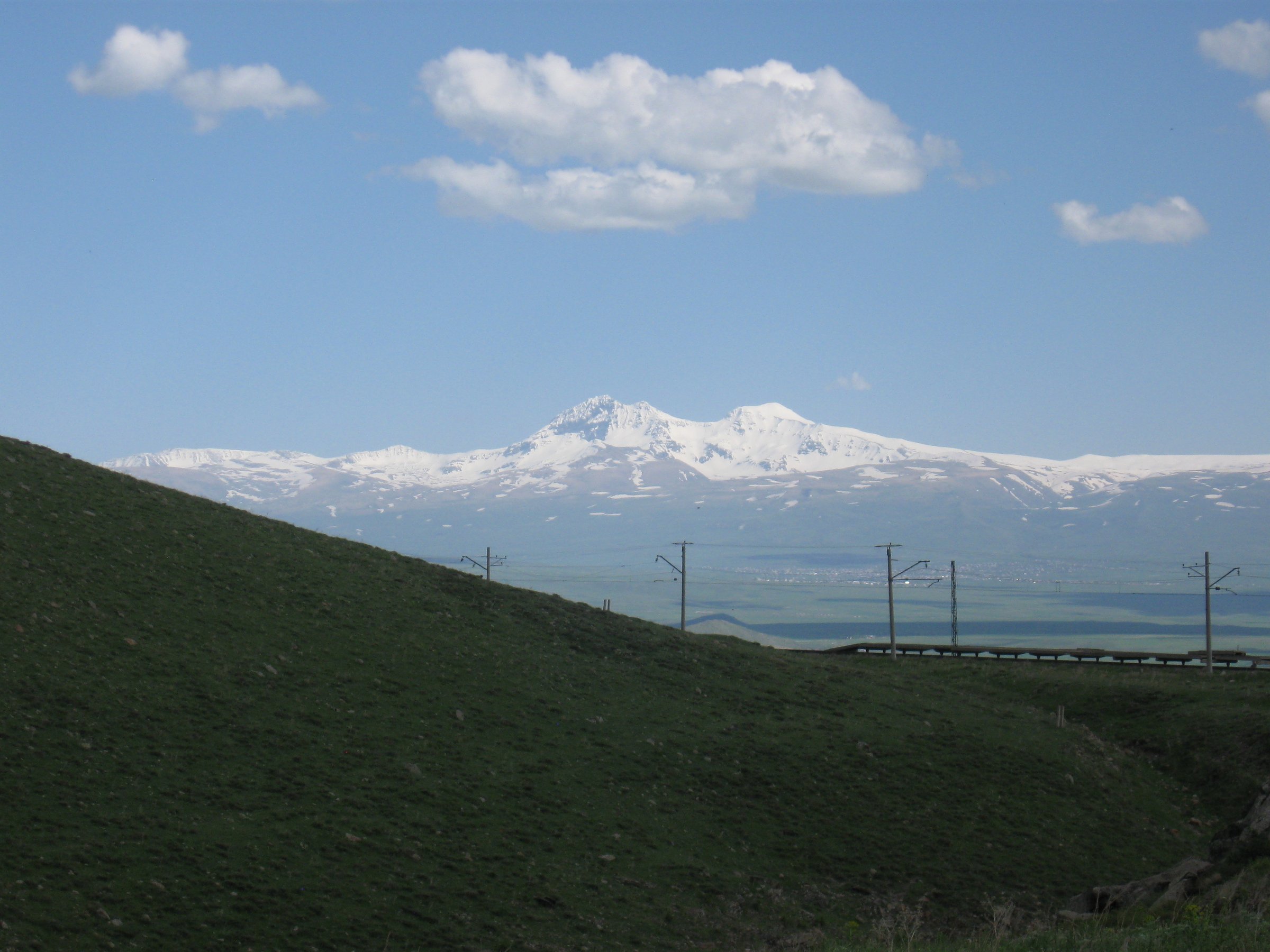
Georgia’s Greater Caucasus hiking is high, dramatic, and unusually varied for a compact country: Kazbegi gives volcanic/glacier scenery under Mount Kazbek, Svaneti gives tower villages and big-wall panoramas below Ushba and Shkhara, and Khevsureti/Juta gives limestone-spire and alpine-lake terrain. Summer hiking is normally June to October, but high passes can hold snow into late June.
Selection rationale
The five hikes span the strongest Georgia-side Greater Caucasus walking themes: the iconic Kazbek glacier objective from Stepantsminda, the Chaukhi-Abudelauri traverse from Juta to Roshka, the classic Svaneti panorama at Koruldi Lakes, the valley approach to Shkhara from Ushguli, and the most accessible Mestia-area glacier walk at Chalaadi.
Summary table
| # | Hike | Country | Route type | Distance | Gain | Max elevation | Difficulty |
|---|---|---|---|---|---|---|---|
| 1 | Stepantsminda to Gergeti Glacier | Georgia | Out-and-back | 20.4 km | 1,552 m | 3,265 m | Hard |
| 2 | Juta to Chaukhi Pass and Abudelauri Lakes to Roshka | Georgia | Point-to-point | 17.8 km | 1,283 m | 3,341 m | Moderate-hard |
| 3 | Mestia to Koruldi Lakes | Georgia | Out-and-back | 20 km | 1,400 m | Approx. 2,750 m | Moderate-hard |
| 4 | Ushguli to Shkhara Glacier | Georgia | Out-and-back | 16 km | 540 m | 2,430 m | Easy-moderate |
| 5 | Mestia to Chalaadi Glacier | Georgia | Out-and-back | 16 km round trip | Approx. 450-600 m | Approx. 1,960 m | Easy-moderate |
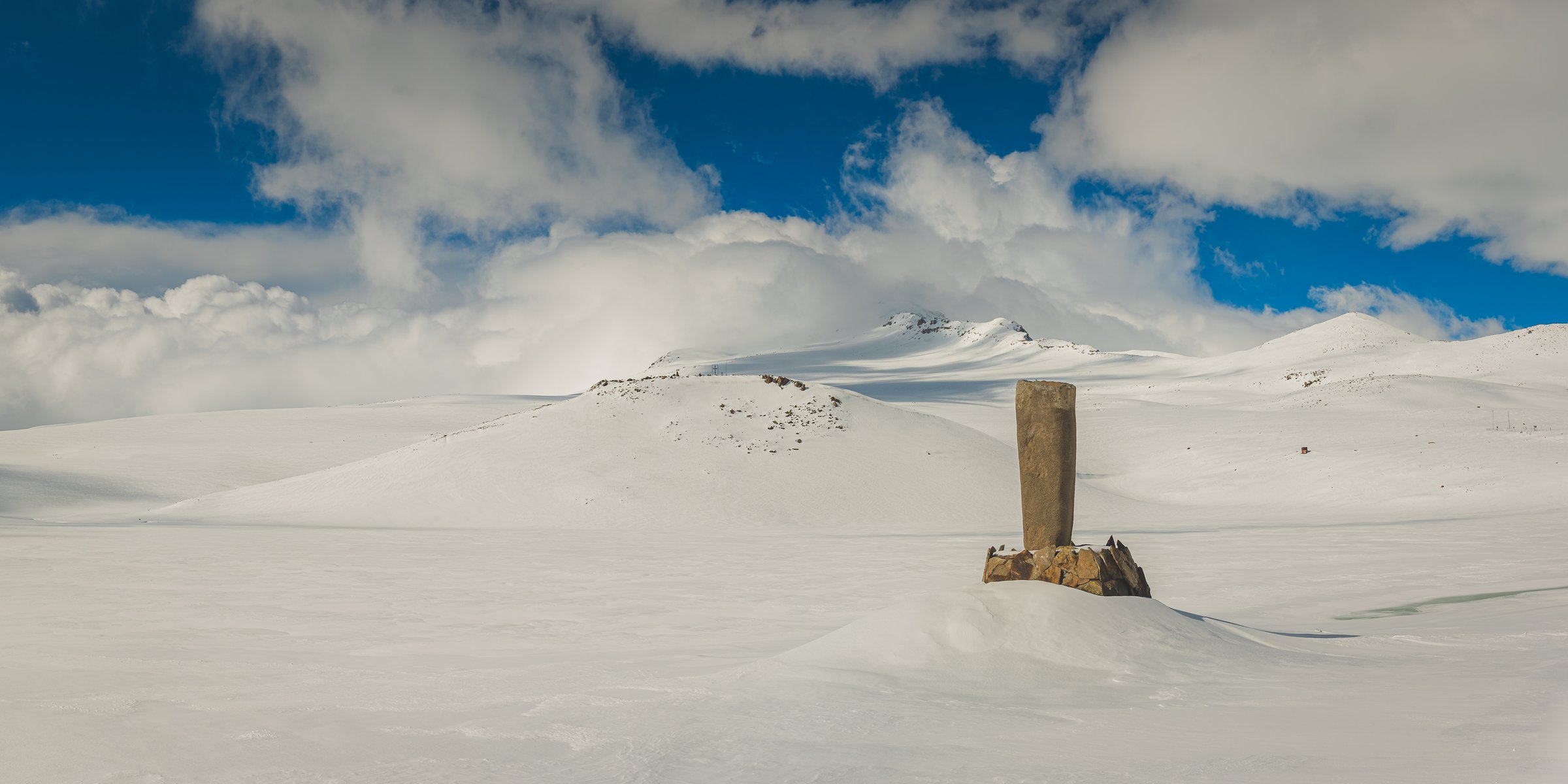
1. Stepantsminda to Gergeti Glacier
Snapshot
Itinerary
Climb from Stepantsminda through Gergeti village to Gergeti Trinity Church, continue toward Sabertse Pass, pass the AltiHut/Sabertse area, and finish at the foot of Gergeti Glacier below Mount Kazbek. Do not continue across the glacier unless equipped and competent for glacier travel.
Why it is essential
Probably the signature Georgia day hike: a famous landmark church, Kazbek views, and a real glacier objective in one long day.
Equipment
Mountain boots, poles, warm/waterproof layers, sun protection, map/offline GPX, early start.
Hazards and notes
High altitude, fast cloud build-up on Kazbek, moraine debris, stream crossings, glacier-edge rockfall/icefall risk.
GPX / KML links
| Source | URL | Format / access | Reuse status |
|---|---|---|---|
| Caucasus Trekking — Kazbegi Hike to Glacier | caucasus-trekking.com | GPX/KML download | Route-file terms not stated; reuse unresolved |
| Caucasus Trekking — Printable PDF | caucasus-trekking.com | Terms not stated |
External links
2. Juta to Chaukhi Pass and Abudelauri Lakes to Roshka
Snapshot
Itinerary
Walk up the Juta valley past Zeta/Fifth Season area toward the Chaukhi massif, climb to Chaukhi Pass, descend carefully into the Abudelauri Lakes basin, pass the Blue/Green lakes and continue down to Roshka.
Why it is essential
Georgia’s “Dolomites” hike: Chaukhi’s spires, a major tourist pass, glacial boulders, and the Abudelauri alpine lakes.
Equipment
Boots, poles, waterproof/warm layers, navigation, food/water, early start.
Hazards and notes
Steep pass descent, loose shale, lingering snowfields, stream fords, long exit with limited transport.
GPX / KML links
| Source | URL | Format / access | Reuse status |
|---|---|---|---|
| Caucasus Trekking — Chaukhi | caucasus-trekking.com | GPX/KML download | Route-file terms not stated; reuse unresolved |
| Caucasus Trekking — From Juta to Roshka PDF | caucasus-trekking.com | Terms not stated |
External links
3. Mestia to Koruldi Lakes
Snapshot
Itinerary
Climb from Mestia toward the cross/viewpoint above town, continue on rough track and trail to the Koruldi Lakes below the Ushba-facing ridge, then return the same way. Fit hikers can continue to higher Koruldi viewpoints, but exposed ridge extensions are optional and not part of the core day hike.
Why it is essential
The classic one-day Svaneti panorama, with Mestia’s towers below and big Caucasus peaks across the skyline.
Equipment
Boots, poles, sun and storm layers, water treatment if using lake/stream water.
Hazards and notes
Long sustained climb, jeep traffic on rough road sections, exposed loose shale if continuing above lakes.
GPX / KML links
| Source | URL | Format / access | Reuse status |
|---|---|---|---|
| Caucasus Trekking — Hike to Koruldi Lakes | caucasus-trekking.com | GPX/KML download | Route-file terms not stated; reuse unresolved |
External links
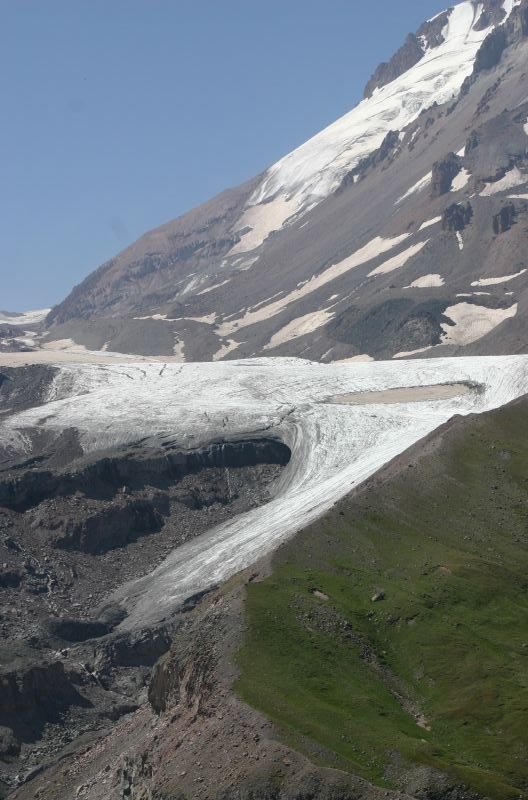
4. Ushguli to Shkhara Glacier
Snapshot
Itinerary
Follow the Inguri valley north from Ushguli on the main dirt road toward Shkhara, continue beyond the restaurant/bridge area, leave the road on the small unmarked path near the moraine, and return from the glacier viewpoint the same way.
Why it is essential
The simplest walking approach to Georgia’s highest-mountain scenery, with Shkhara and the Inguri headwaters ahead.
Equipment
Trail shoes/boots, sun/rain layers, water, poles useful for streams.
Hazards and notes
Stream crossings, vehicle traffic on the jeep road, rockfall close to the glacier snout.
GPX / KML links
| Source | URL | Format / access | Reuse status |
|---|---|---|---|
| Caucasus Trekking — Shkhara | caucasus-trekking.com | GPX/KML download | Route-file terms not stated; reuse unresolved |
External links
5. Mestia to Chalaadi Glacier
Snapshot
Itinerary
Walk north from Mestia into the Mestiachala valley, cross the Mestiachala River, follow the forest/valley trail toward the low Chalaadi Glacier tongue, then return the same way. Many hikers shorten the road approach by taxi.
Why it is essential
The most accessible glacier walk from Mestia, useful as a shorter Svaneti day hike or acclimatisation outing.
Equipment
Trail shoes/boots, rain layer, poles, water.
Hazards and notes
Rockfall/icefall near the snout, muddy forest path, river/bridge conditions.
GPX / KML links
| Source | URL | Format / access | Reuse status |
|---|---|---|---|
| Georgia Travel — Mestia–Chalaati Glacier | georgia.travel | Source page | Site terms apply; no direct GPX verified |
| Mestia municipality route-map PDF | mestia.gov.ge | Site terms apply |
External links
External links
| Source | URL |
|---|---|
| Caucasus Trekking — Kazbegi Hike to Glacier | caucasus-trekking.com |
| Caucasus Trekking — Chaukhi | caucasus-trekking.com |
| Caucasus Trekking — Hike to Koruldi Lakes | caucasus-trekking.com |
| Caucasus Trekking — Shkhara | caucasus-trekking.com |
| Georgia Travel — Mestia–Chalaati Glacier | georgia.travel |
| Mestia municipality route-map PDF | mestia.gov.ge |
| Caucasus Trekking — Hike to Gergeti glacier PDF | caucasus-trekking.com |
| Caucasus Trekking — From Juta to Roshka PDF | caucasus-trekking.com |