Regional overview
Azerbaijan’s Greater Caucasus day hiking is a mix of high stone villages, Lezgin valleys, Shahdag National Park forest, steep fortress hills, and old transhumance/craft routes. Sources were strongest for route stats on AllTrails; official/source context came from UNESCO, Shahdag National Park references, and Commons/Wikipedia pages where official route pages were not exposed.
Selection rationale
The selection covers a UNESCO-listed cultural landscape traverse (Khinalig-Galakhudat), a Lezgin village-to-village walk under Shahdag (Laza-Kuzun), a Shahdag NP lake walk (Garanohur), a short steep fortress ascent (Chirag Gala), and a forested transhumance route to a historic craft town (Muju-Lahij).
Summary table
| # | Hike | Country | Route type | Distance | Gain | Max elevation | Difficulty |
|---|---|---|---|---|---|---|---|
| 1 | Khinalig to Galakhudat | Azerbaijan | Point-to-point | 8.2 km | 150-285 m | 2,314 m | Easy/Moderate |
| 2 | Laza to Kuzun | Azerbaijan | Point-to-point | 6.0 km | 278-350 m | 1,652 m | Moderate |
| 3 | Garanohur Lake | Azerbaijan | Out-and-back | 9.3 km | 638 m | 1,540 m | Moderate-hard |
| 4 | Chirag Gala | Azerbaijan | Point-to-point | 2.1 km | 330 m | 991 m | Moderate |
| 5 | Muju to Lahij | Azerbaijan | Point-to-point | 10.9 km | 967-1,030 m | ~2,000 m | Hard |
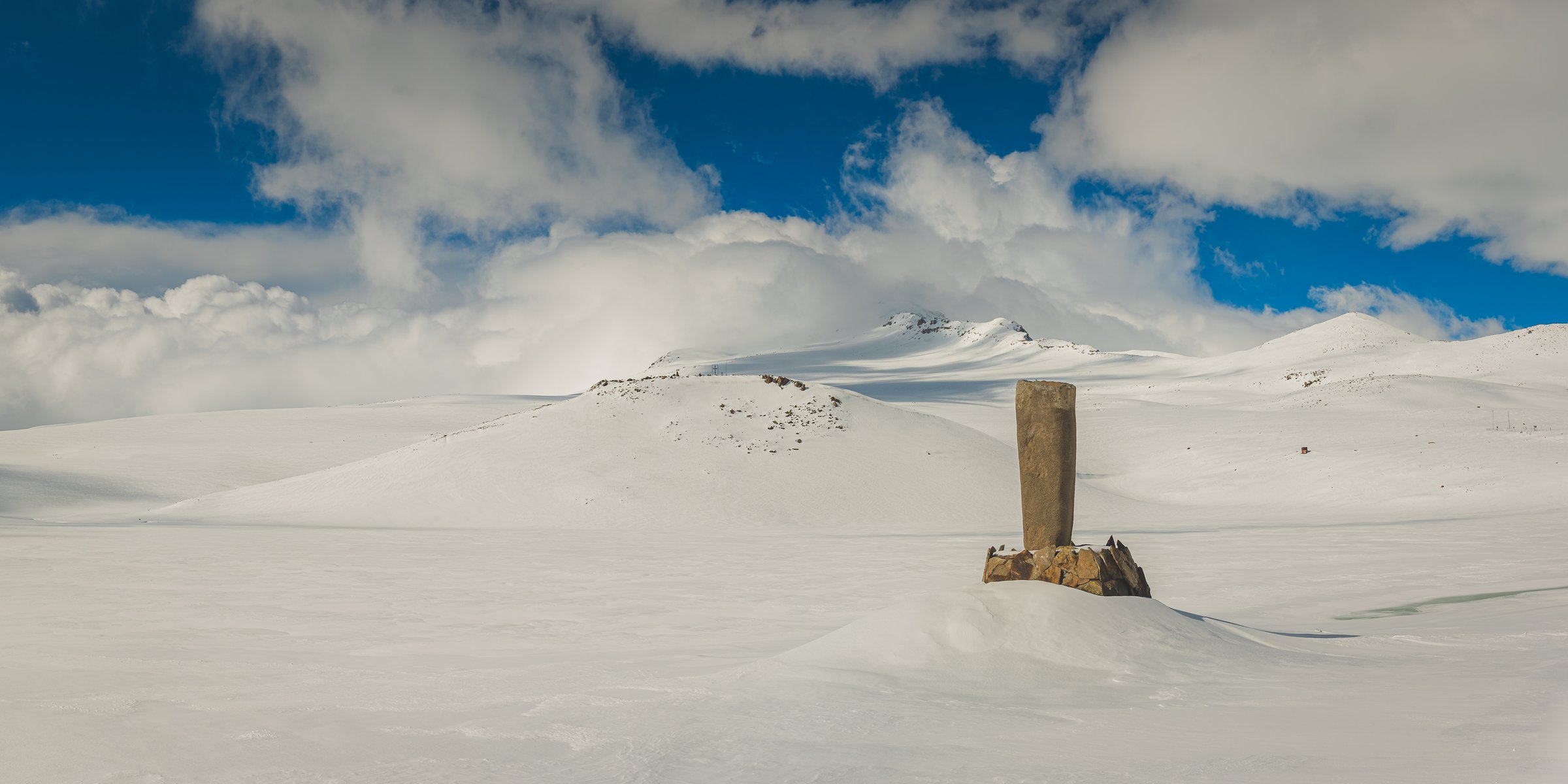
1. Khinalig to Galakhudat Trail

Snapshot
Itinerary
Old road and pasture track between two high villages with views over Gudyalchay, Gizilgaya, Khinalig peak, and Tufandag.
Why it is essential
Khinalig is part of the UNESCO-listed Khinalig/Köç Yolu cultural landscape, and this is the practical day route between the two highest inhabited villages of the area.
Equipment
Boots, layers, sun/rain protection.
Hazards and notes
Exposed weather and remote transport are the main issues; arrange the pickup at Galakhudat in advance.
GPX / KML links
| Source | URL | Format / access | Reuse status |
|---|---|---|---|
| AllTrails source map | alltrails.com | Source map | AllTrails terms; direct GPX not verified; route source only |
External links
- AllTrails — Khinalig to Galakhudat
- UNESCO — Cultural Landscape of Khinalig People and “Köç Yolu” Transhumance Route
- Wikimedia Commons — Xınalıq kəndinin ümumi görünüşü.jpg
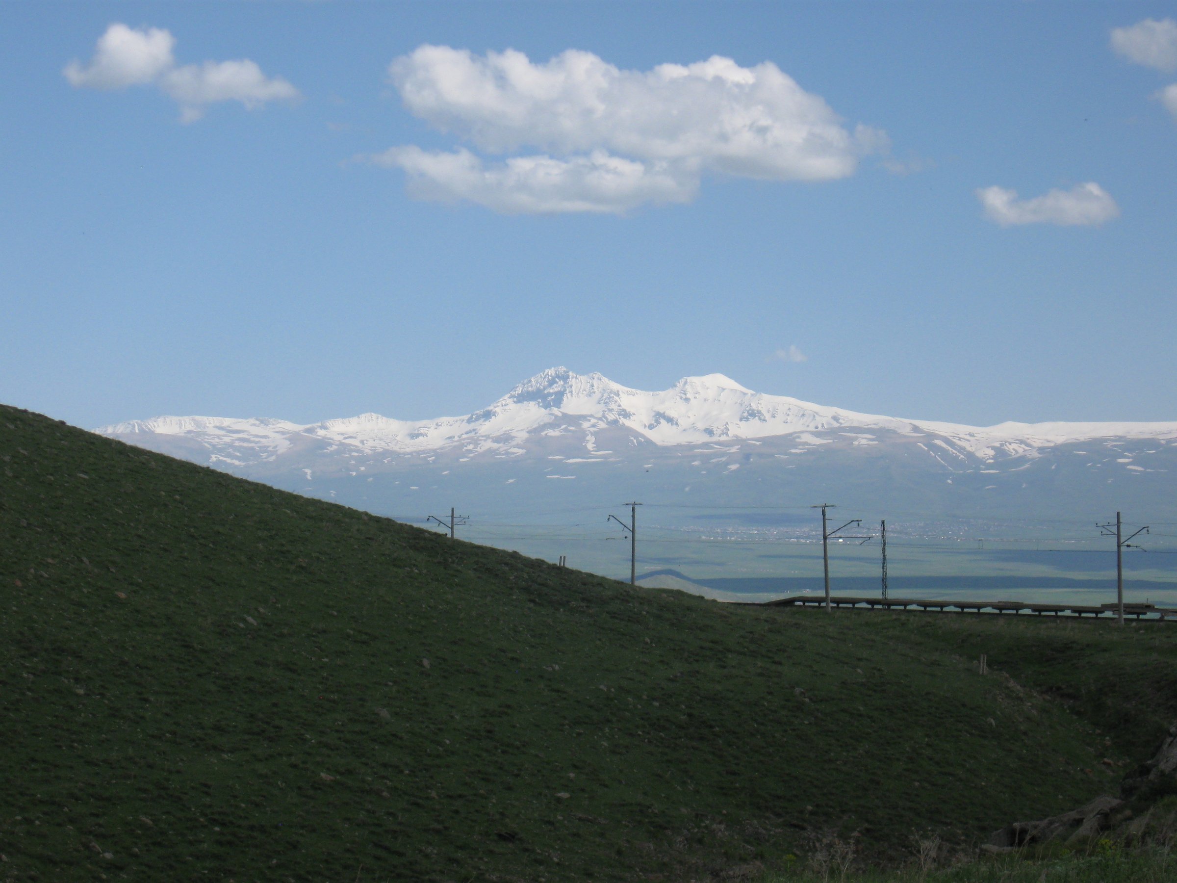
2. Laza to Kuzun Trail

Snapshot
Itinerary
Village-to-village trail under Shahdag/Gizilgaya cliffs, passing waterfall views and the Gusarchay gorge.
Why it is essential
This is the classic walking link between two Lezgin villages under the Shahdag massif, combining alpine cliff scenery with the Gosha Shalala waterfall.
Equipment
Boots; poles useful for descent.
Hazards and notes
Steep descent, slippery snow/ice in cold periods, and changeable gorge weather are the main concerns.
GPX / KML links
| Source | URL | Format / access | Reuse status |
|---|---|---|---|
| AllTrails source map | alltrails.com | Source map | AllTrails terms; direct GPX not verified; route source only |
External links
3. Garanohur Lake Trail

Snapshot
Itinerary
Marked forest trail climbing from Talistan toward Garanohur Lake, with river crossings and a steeper final section.
Why it is essential
Garanohur is the signature forest-lake objective inside Shahdag National Park on the Ismayilli side.
Equipment
Boots, poles, water, rain shell.
Hazards and notes
River crossings, mud, flood risk after heavy rain, and park fee/access rules require attention.
GPX / KML links
| Source | URL | Format / access | Reuse status |
|---|---|---|---|
| AllTrails source map | alltrails.com | Source map | AllTrails terms; direct GPX not verified; route source only |
External links
4. Chirag Gala Hiking Trail

Snapshot
Itinerary
Short, steep climb to the 4th-6th century defensive fortress above the Caspian plain.
Why it is essential
Chirag Gala is the best-known fortress hill walk in the Siazan-Shabran foothills and combines short distance with dramatic views.
Equipment
Sturdy shoes, water, sun protection.
Hazards and notes
Rough stones, cliff edges, and unprotected ruins require care; the route is exposed in summer heat and storms.
GPX / KML links
| Source | URL | Format / access | Reuse status |
|---|---|---|---|
| AllTrails source map | alltrails.com | Source map | AllTrails terms; direct GPX not verified; route source only |
External links
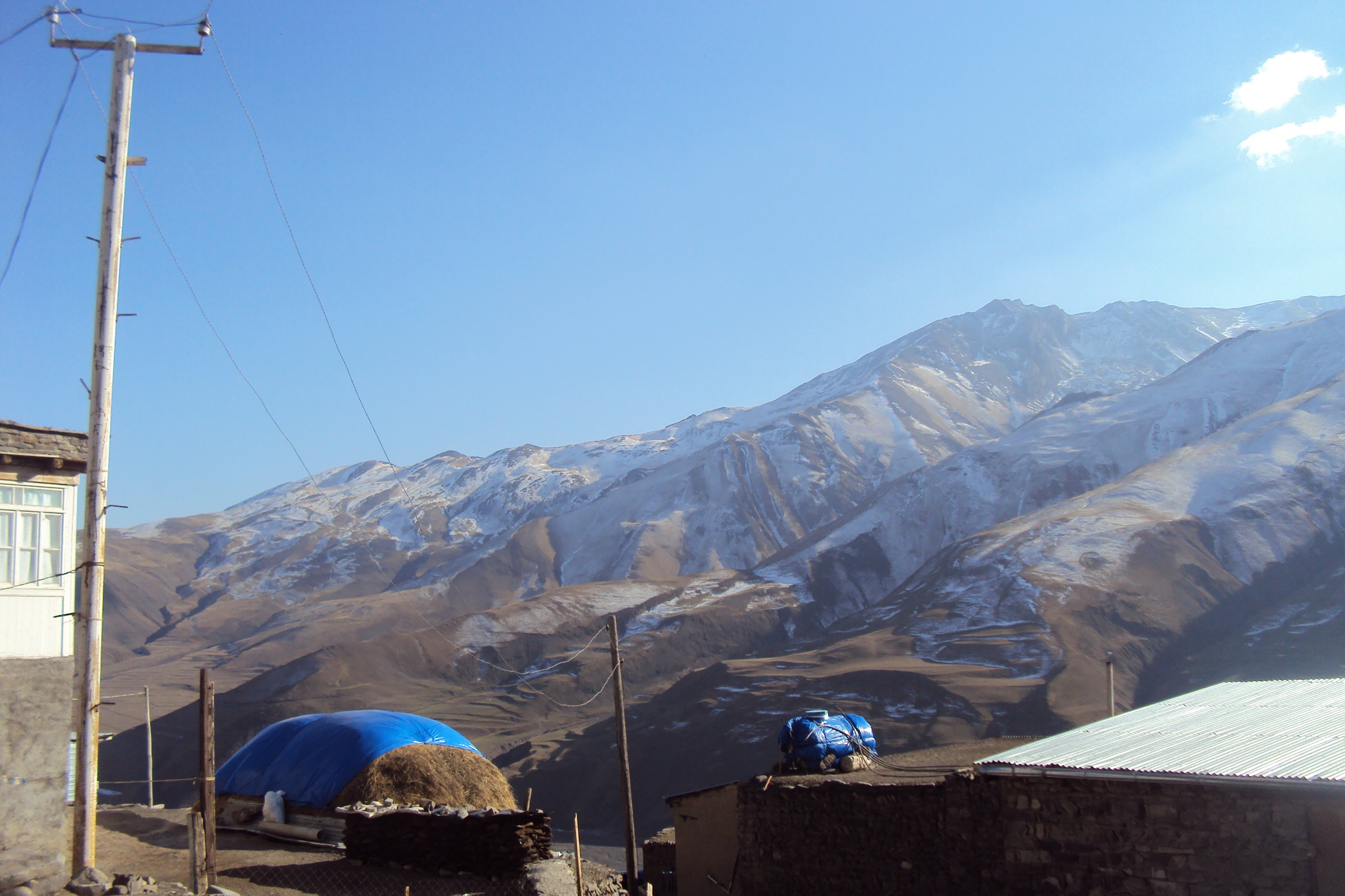
5. Muju to Lahij Trail

Snapshot
Itinerary
Old villager track through Shahdag National Park forest and pasture to a 2,000 m high point before descending to historic Lahij, known for copper craft.
Why it is essential
This is the strongest sourced transhumance/craft route in the catalogue, ending at the historic copper-craft town of Lahij.
Equipment
Boots, poles, navigation, food/water, layers.
Hazards and notes
Narrow rocky upper path, remote start, and off-road access to Muju are the main concerns.
GPX / KML links
| Source | URL | Format / access | Reuse status |
|---|---|---|---|
| AllTrails source map | alltrails.com | Source map | AllTrails terms; direct GPX not verified; route source only |
External links
Missing data / follow-up work
- Direct GPX/KML downloads were not verified for any of the five routes; AllTrails was used as the source map only.
- Khinalig-Galakhudat elevation gain remains unresolved between route text (+150 m) and AllTrails (+285 m).
- Park entry rules, fees, and guide requirements for Shahdag National Park should be confirmed before travel.
External links
| Resource | Link |
|---|---|
| UNESCO — Khinalig Cultural Landscape | whc.unesco.org/en/list/1684/ |
| Shahdag National Park | en.wikipedia.org |
| Chirag Gala | en.wikipedia.org |
| Lahıc | en.wikipedia.org |