Regional overview
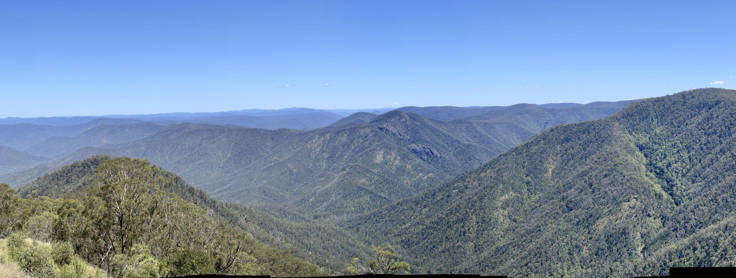
The Gibraltar Range, Washpool and Guy Fawkes River national parks form a contiguous block of the northern New South Wales escarpment between Glen Innes on the New England Tableland and Grafton on the Clarence coast. All three are part of the Gondwana Rainforests of Australia World Heritage inscription, and together they protect roughly 190,000 hectares of granite tor country, warm-temperate rainforest, sub-alpine swamp and deeply incised gorge. The Traditional Custodians of the country crossed by these walks include the Ngarabal and Anaiwan on the tablelands side, the Bundjalung to the north and the Gumbaynggirr on the lower escarpment.
Walking centres are compact and closely linked. In Gibraltar Range National Park, the Mulligans precinct on the Gwydir Highway (Waterfall Way’s tablelands cousin) gives access to Anvil Rock, Dandahra Crags, the Needles and Little Dandahra Creek. Washpool National Park is reached from Coombadjha Creek on the eastern side of the Gwydir Highway, and Guy Fawkes River National Park is approached from Chaelundi Campground off the Armidale–Grafton road and from the Ebor precinct on Waterfall Way. All three parks are managed by the NSW National Parks and Wildlife Service (NPWS), which charges an $8 per vehicle daily fee at the main precincts.
The dominant hazards are wildfire, weather and remoteness. Large parts of Gibraltar Range National Park were severely burned in the 2019–20 Black Summer fires, and NPWS continues to run temporary track closures for recovery works and hazard trees — current alerts should be checked before every trip. Above the escarpment, weather can shift quickly between fine tableland conditions and coastal cloud; leeches and paralysis ticks are active in warm wet weather; granite slabs are dangerously slippery when wet; and mobile coverage inside all three parks is patchy.
Summary table
| # | Hike | Route type | Distance | Estimated time | Difficulty | Verification |
|---|---|---|---|---|---|---|
| 1 | Anvil Rock walking track | Out-and-back | NPWS: 4 km return | NPWS: 1–2 h | NPWS Grade 3 | Route verified via NPWS |
| 2 | Dandahra Crags walking track | Loop | NPWS: 7.1 km loop; Trail Hiking AU: 3 km short version | NPWS: 2–3 h | NPWS Grade 4 | Route verified via NPWS + Trail Hiking Australia |
| 3 | Washpool walking track | Loop | NPWS: 8.5 km loop | NPWS: 3–4 h | NPWS Grade 4 | Route verified via NPWS |
| 4 | Escarpment Walk (Chaelundi) | Loop | NPWS: 13 km loop | NPWS: 5–7 h | NPWS Grade 4 | Route verified via NPWS + Trail Hiking Australia |
| 5 | Boundary Falls and Lyrebird Falls | Out-and-back | NPWS: ~2.4 km combined | NPWS: 1.5–2 h combined | NPWS Grade 3–4 | Route verified via NPWS |
Before you go
Access
The Gibraltar Range and Washpool trailheads are reached from the Gwydir Highway between Glen Innes (about 68 km west) and Grafton (about 92 km east). Anvil Rock and Dandahra Crags are on Mulligans Drive, a 2WD gravel road off the highway. The Washpool Walk starts at Coombadjha campground, reached by a 3 km gravel access road from the Gwydir Highway. Guy Fawkes River National Park’s Escarpment Walk starts from Chaelundi Campground, reached by unsealed forestry-style roads from either Ebor on Waterfall Way or Grafton — the final approach is unsealed and can be affected by wet weather. Ebor Falls, at the southern tip of the same park, is on Waterfall Way itself. There is no scheduled public transport to any of the trailheads.
Standard kit
- Sturdy walking shoes or light hiking boots for the Anvil Rock and Boundary/Lyrebird walks; supportive boots for Dandahra Crags, the Washpool Walk and the Escarpment Walk.
- Waterproof shell and a warm layer year-round — the tablelands side can be 10 °C colder than Grafton.
- Water: 1 litre for the shorter walks, 2 litres for Anvil Rock and Dandahra Crags, 2–3 litres for the Washpool and Escarpment loops.
- Wide-brim hat, sunglasses and high-SPF sunscreen for the open granite and heath sections.
- Offline map or GPS (the NPWS park pages, the 1:25,000 Dandahra and Chaelundi topographic sheets, or OpenTopoMap) plus a compass and headtorch.
- Insect repellent for mosquitoes; long trousers or gaiters for leech and tick protection after rain.
Common hazards
- Wildfire and post-fire hazard trees — Gibraltar Range National Park was heavily burned in 2019–20; track closures for recovery works are still issued periodically.
- Slippery granite slabs and boardwalk when wet or frosted; a fall on the summit block of Dandahra Crags or the Anvil Rock outcrop can be serious.
- Leeches and paralysis ticks in the rainforest sections after rain.
- Unsealed access roads can be affected by wet weather, particularly the Chaelundi approach.
- Limited mobile reception across all three parks; the NSW NPWS recommends the Emergency Plus app and a Personal Locator Beacon on the longer walks.
- Cultural landscape — stay on marked tracks and do not disturb rock arrangements or middens.
1. Anvil Rock walking track
Snapshot
Itinerary
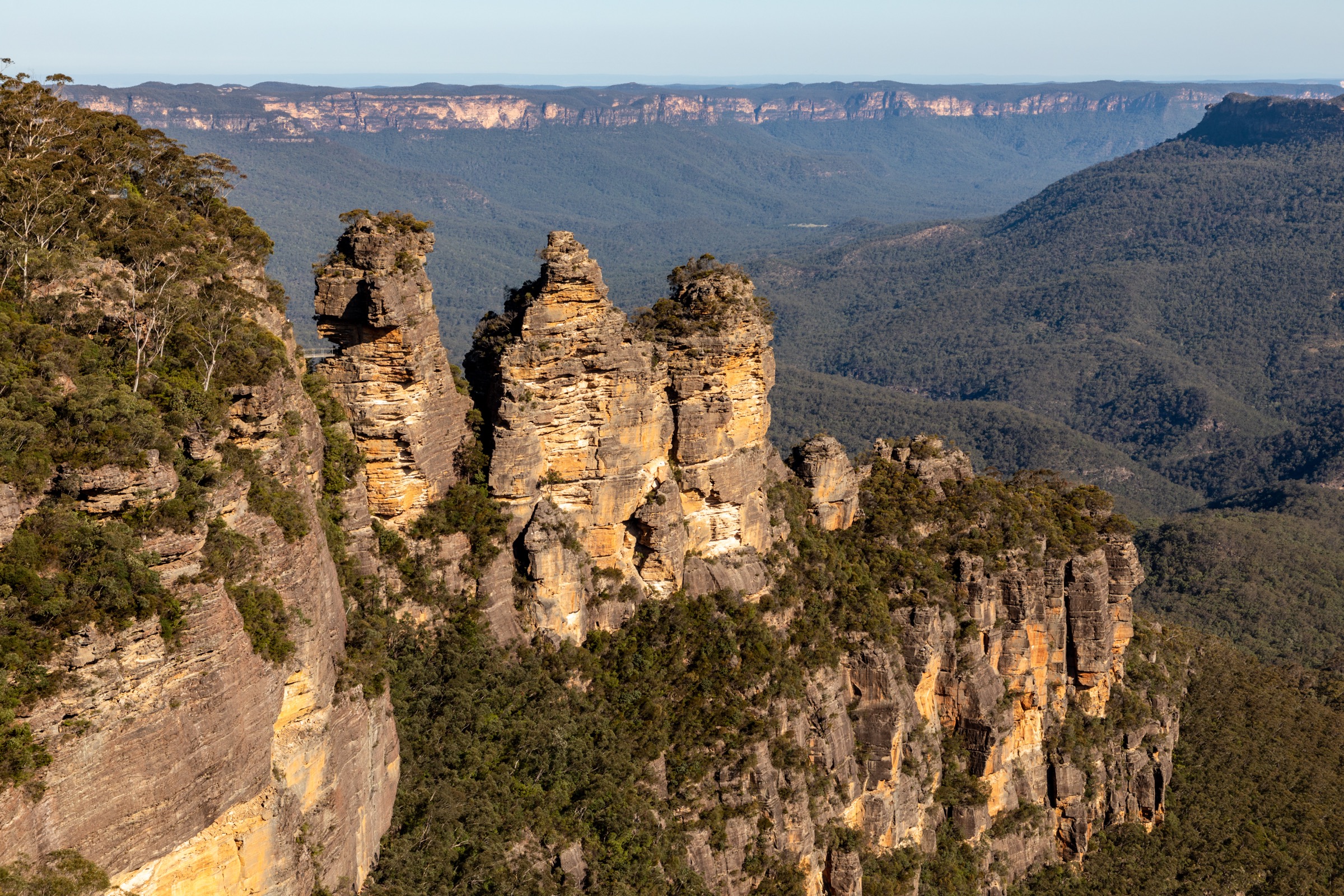
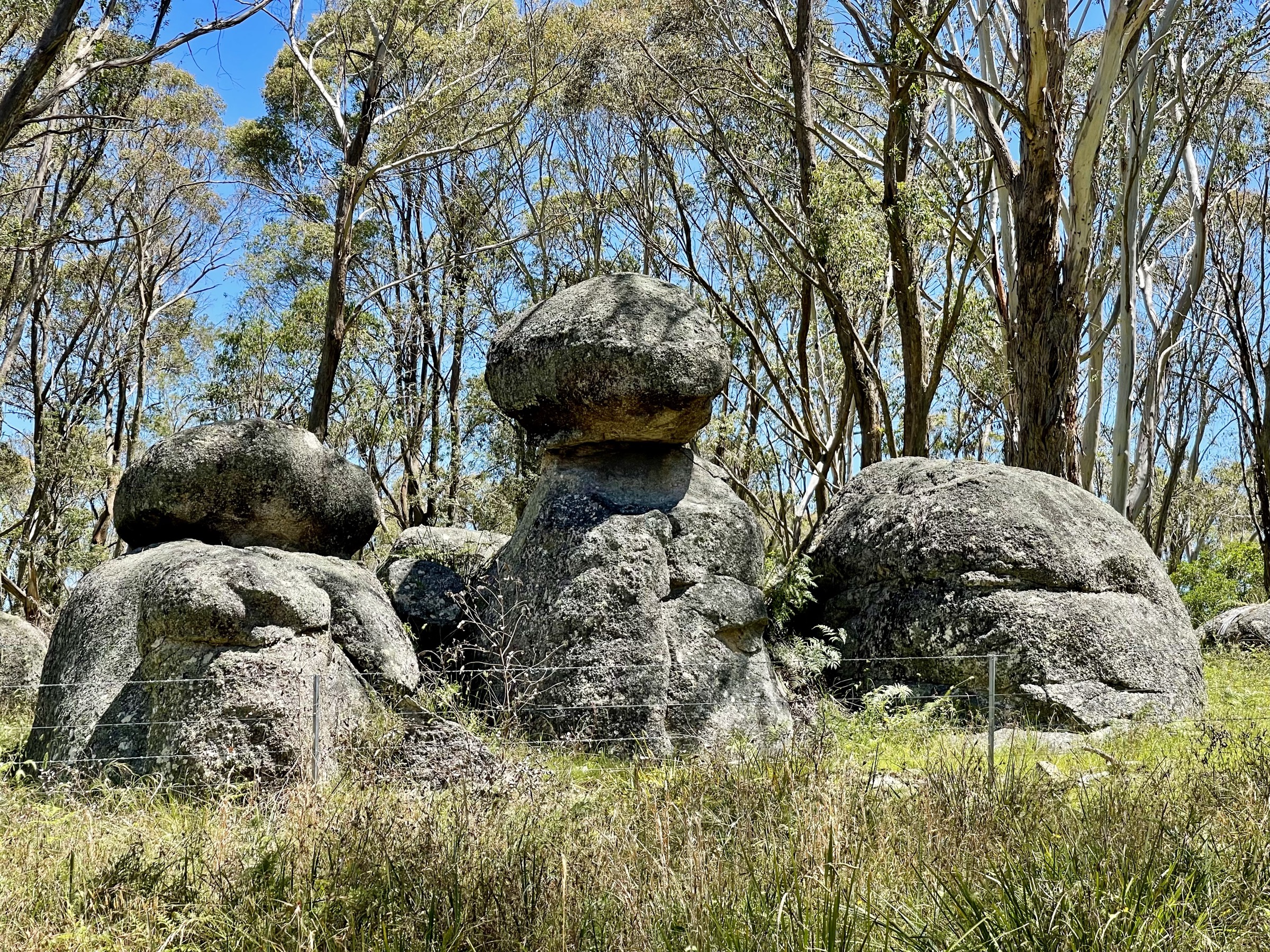
The route leaves the Anvil Rock car park on a formed track through eucalypt forest, heath and grass-tree country, passes a series of balancing granite boulders, and climbs on short steep sections and stone steps to the Old Mans Hat / Anvil Rock outcrop. The summit boulder is a large flat-topped granite tor with a distinctive balancing block; from the top, views open north-west across the Mann River Valley and south-east into the head of the Dandahra catchment. Return by the same track.
Why it is essential
Anvil Rock is the flagship short walk in Gibraltar Range National Park’s granite-tor country and the clearest single expression of the range’s headline landscape — balancing boulders, heath, lyrebird habitat and, in spring, the endemic Gibraltar waratah. It is the essential Gibraltar Range half-day.
Hazards and notes
- Granite slabs and steps are slippery when wet or frosted; the final scramble onto the tor is exposed and unfenced.
- The area was affected by the 2019–20 Black Summer fires; check NPWS current alerts for recovery works and hazard-tree closures.
- Limited mobile reception; carry a paper or offline map.
- No facilities at the trailhead — carry all water in and out.
GPX / KML links
| Source | URL | Format | Notes |
|---|---|---|---|
| NPWS — Anvil Rock walking track | nationalparks.nsw.gov.au | Official park page | NPWS website terms; no GPX published |
| NPWS — Anvil Rock visitor info | nationalparks.nsw.gov.au | Official visitor info | NPWS website terms |
| AllTrails cross-check | alltrails.com | Third-party route pages | Secondary statistics only |
Further reading
2. Dandahra Crags walking track
Snapshot
Itinerary
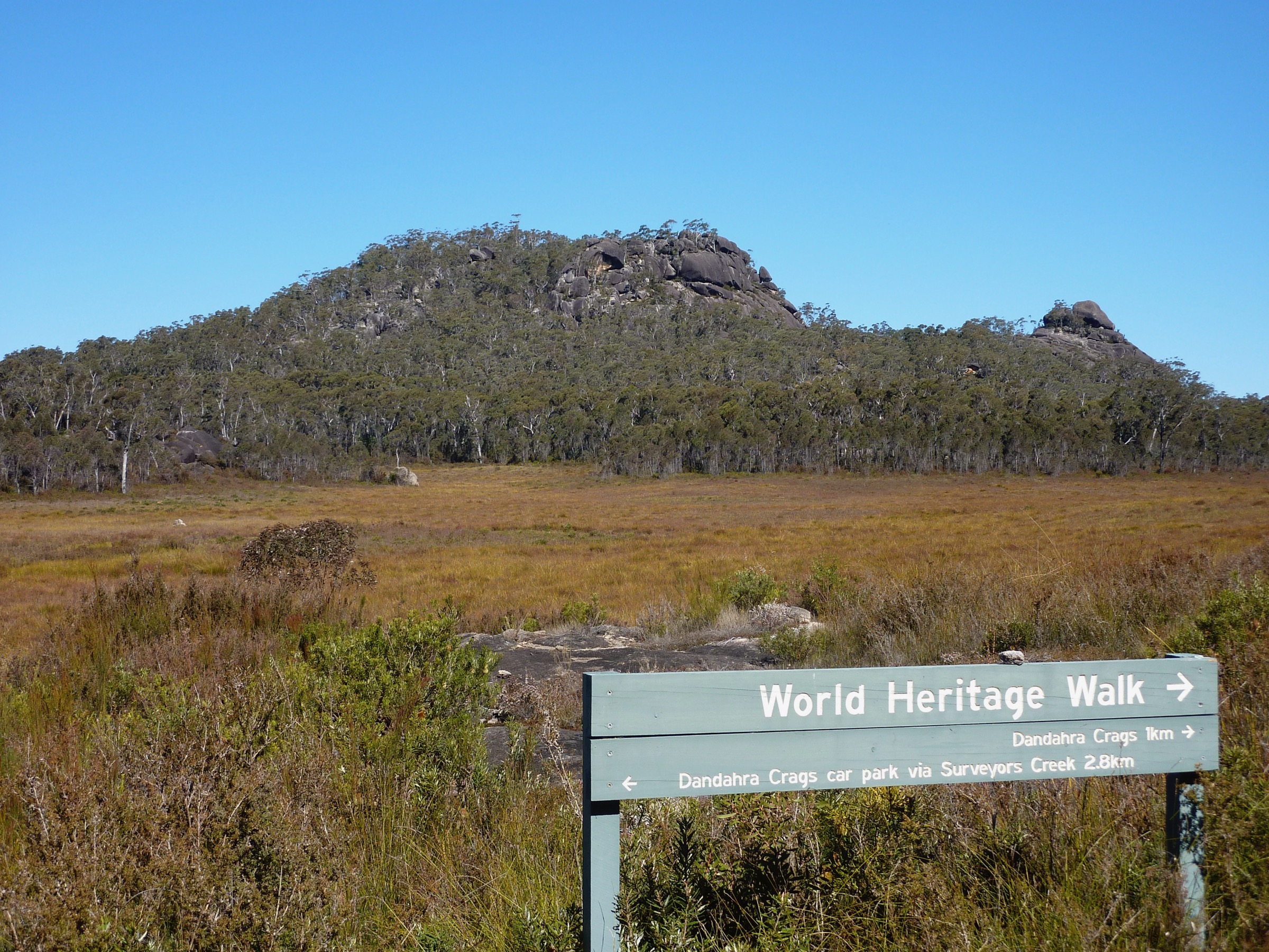
The loop leaves Mulligans Drive on a formed track that skirts the edge of Surveyors Swamp — a shallow montane wetland surrounded by heath and eucalypt forest with a strong spring wildflower display. The track then climbs onto the ridge and reaches the base of Dandahra Crags, a cluster of grey granite outcrops rising above the heath. A short scramble reaches the top for wide views west across the Mann River Valley toward Raspberry Lookout and east into the head of Dandahra Creek. The return leg completes the loop back through swamp margins and open forest.
Why it is essential
Dandahra Crags is the range’s other signature tor — bigger and more remote than Anvil Rock, and paired with the montane swamp and wildflower landscape that gives Gibraltar Range its ecological character. It is the range’s essential half- to three-quarter-day walk and a rare chance to combine granite scrambling with a sub-alpine wetland in the one loop.
Hazards and notes
- Granite slabs on the final approach and the crag top are slippery when wet or frosted; the top is unfenced.
- Sustained climbing on the ridge section; NPWS rates the track Grade 4.
- Weather on the escarpment can change quickly — carry a shell year-round.
- The area was fire-affected in 2019–20; check NPWS current alerts before travel.
GPX / KML links
| Source | URL | Format | Notes |
|---|---|---|---|
| NPWS — Dandahra Crags walking track | nationalparks.nsw.gov.au | Official park page | NPWS website terms; no GPX published |
| Trail Hiking Australia — Dandahra Crags | trailhiking.com.au | Third-party route page | Copyright, no reusable GPX |
| AllTrails — Dandahra Crags | alltrails.com | Third-party route page | Secondary reference |
Further reading
3. Washpool walking track
Snapshot
Itinerary
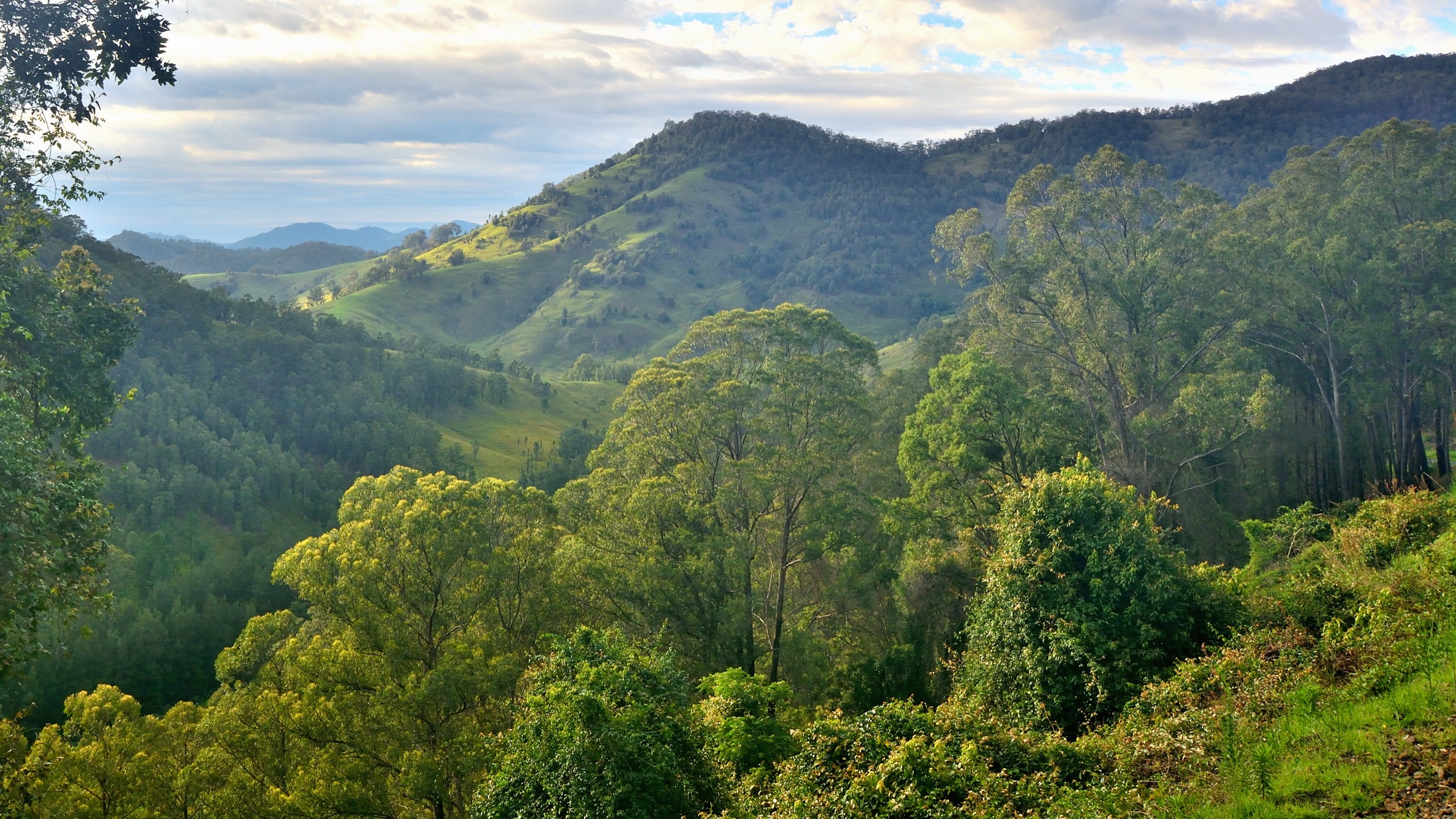
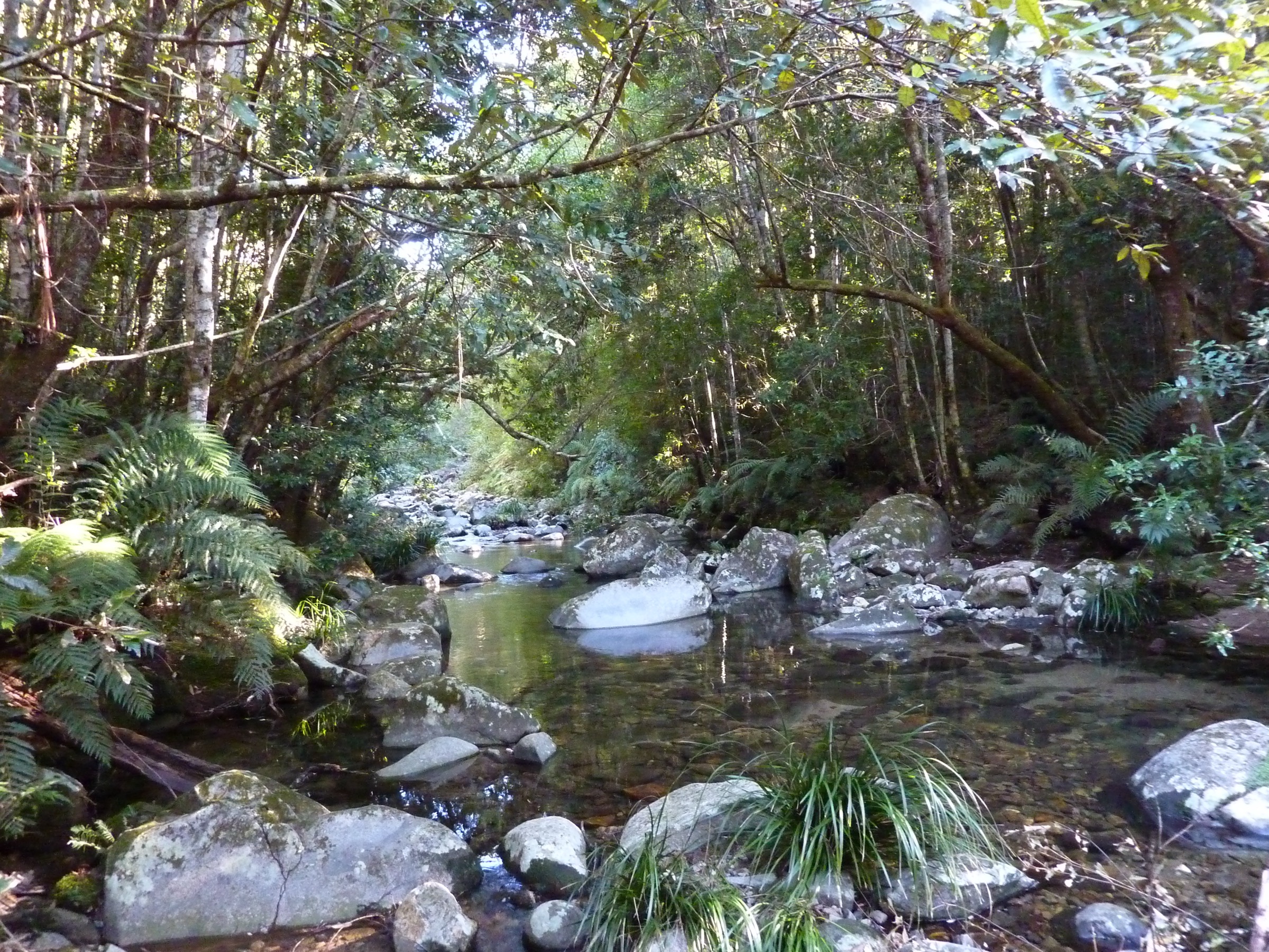
The loop leaves the Coombadjha campground on a signposted track that quickly enters warm-temperate rainforest dominated by coachwood (Ceratopetalum apetalum), sassafras, giant red cedar and tree ferns. The track winds through rolling hills, drops to Summit Creek — a common turnaround point for a shorter walk — and continues past small waterfalls and viewpoints across the World Heritage Gondwana rainforest of the upper Coombadjha catchment. The loop closes back at the campground.
Why it is essential
The Washpool Walk is the classic rainforest circuit of the northern NSW escarpment and passes through what NPWS describes as one of the largest stands of coachwood forest in the state. It is the region’s essential rainforest day-walk and the counterweight to the exposed granite of Gibraltar Range.
Hazards and notes
- Leeches are common in wet weather; long trousers or gaiters help.
- The rainforest track can be slippery and muddy after rain; trekking poles help on the steeper descents.
- Limited mobile reception; carry an offline map.
- The park is always open but may close in extreme fire weather; check NPWS current alerts.
GPX / KML links
| Source | URL | Format | Notes |
|---|---|---|---|
| NPWS — Washpool walking track | nationalparks.nsw.gov.au | Official park page | NPWS website terms; no GPX published |
| NPWS — Washpool National Park | nationalparks.nsw.gov.au | Official park page | NPWS website terms |
| AllTrails — Washpool Walk | alltrails.com | Third-party route page | Secondary statistics only |
Further reading
4. Escarpment Walk (Chaelundi Falls and Lucifers Thumb)
Snapshot
Itinerary
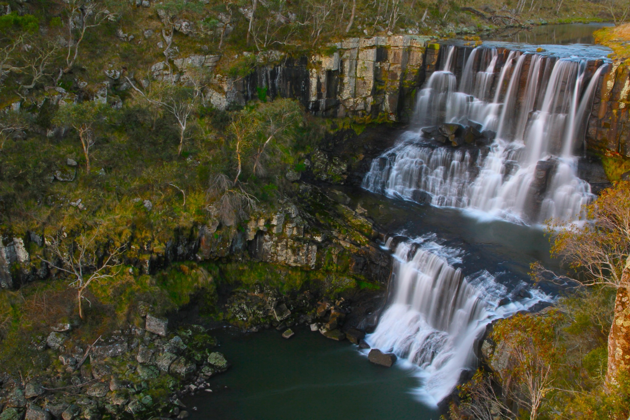
The loop leaves Chaelundi Campground on a formed forest track that reaches the Chaelundi Falls lookout after about 500 m — the falls drop over the escarpment into the head of the Guy Fawkes River gorge. Continuing, the track reaches Lucifers Thumb at about 2 km, a granite spur that projects into the gorge and gives one of the most extensive escarpment views in the park. From Lucifers Thumb the loop extends via management trails toward Spring Gully picnic area at about 8 km, then returns through eucalypt forest to Chaelundi Campground. Endangered brush-tailed rock-wallabies and peregrine falcons are recorded along the gorge lip.
Why it is essential
The Escarpment Walk is the definitive day route in Guy Fawkes River National Park’s escarpment wilderness — it combines a waterfall lookout, an iconic granite spur into the gorge and a sustained forest circuit, all on the edge of a declared wilderness area. As a longer, remote loop it is the natural counterpart to the shorter feature walks elsewhere in the region.
Hazards and notes
- Remote setting with limited mobile reception; carry a PLB.
- Steep, uneven ground and exposed lookout ledges — stay behind guardrails at Lucifers Thumb.
- Access roads are unsealed and can be affected by wet weather.
- Chaelundi Campground and access tracks can close in high fire danger; check NPWS current alerts.
- The Chaelundi Falls lookout at 500 m is achievable on its own as a short return walk if the full loop is not appropriate.
GPX / KML links
| Source | URL | Format | Notes |
|---|---|---|---|
| NPWS — Escarpment walk | nationalparks.nsw.gov.au | Official park page | NPWS website terms; no GPX published |
| Trail Hiking Australia — Escarpment Walk | trailhiking.com.au | Third-party route page | Copyright; no reusable GPX |
| NPWS — Guy Fawkes River and Chaelundi brochure | nationalparks.nsw.gov.au | Official PDF | NPWS website terms |
Further reading
- NPWS — Escarpment walk
- NPWS — Guy Fawkes River National Park
- Trail Hiking Australia — Escarpment Walk
5. Boundary Falls and Lyrebird Falls
Snapshot
Itinerary
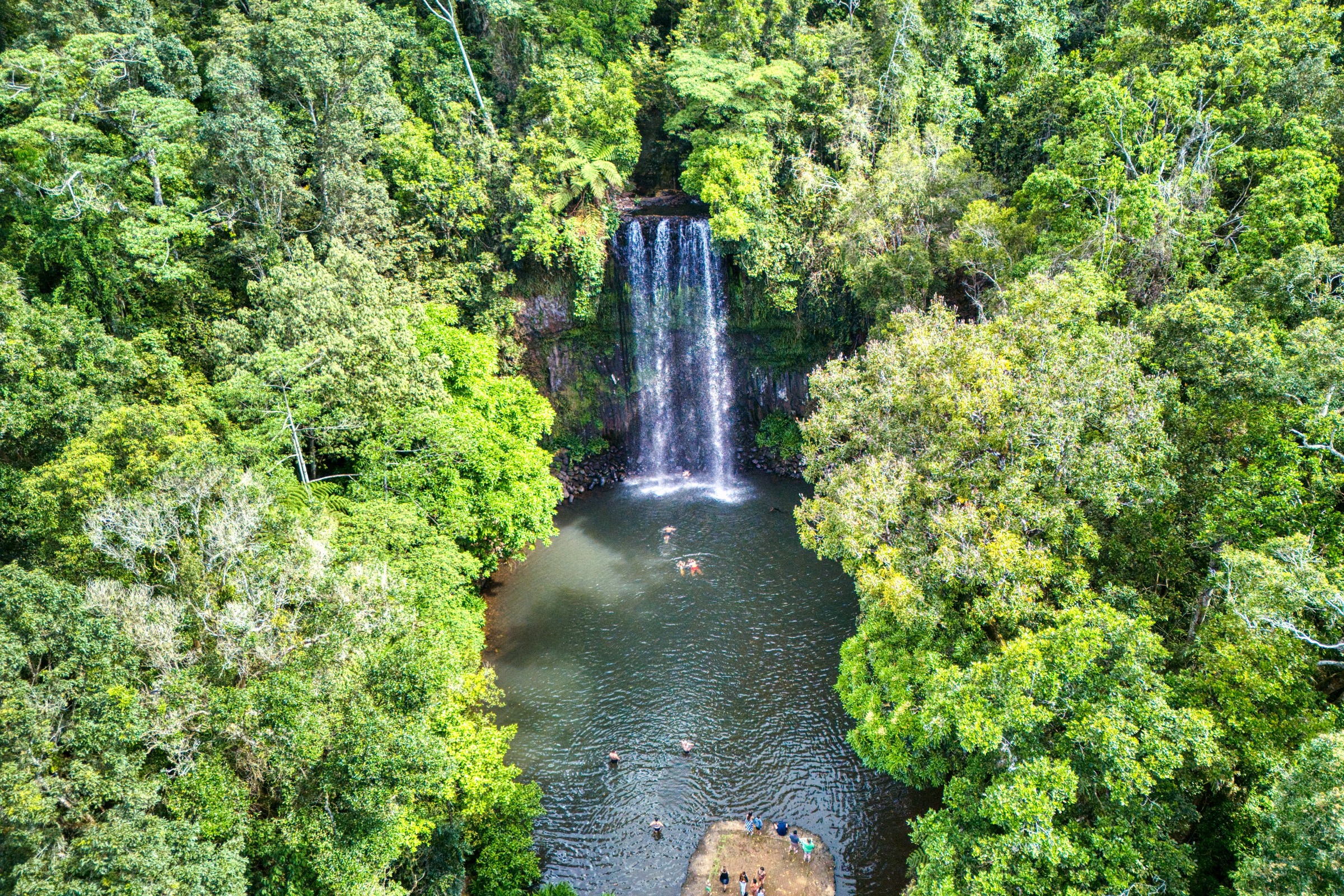
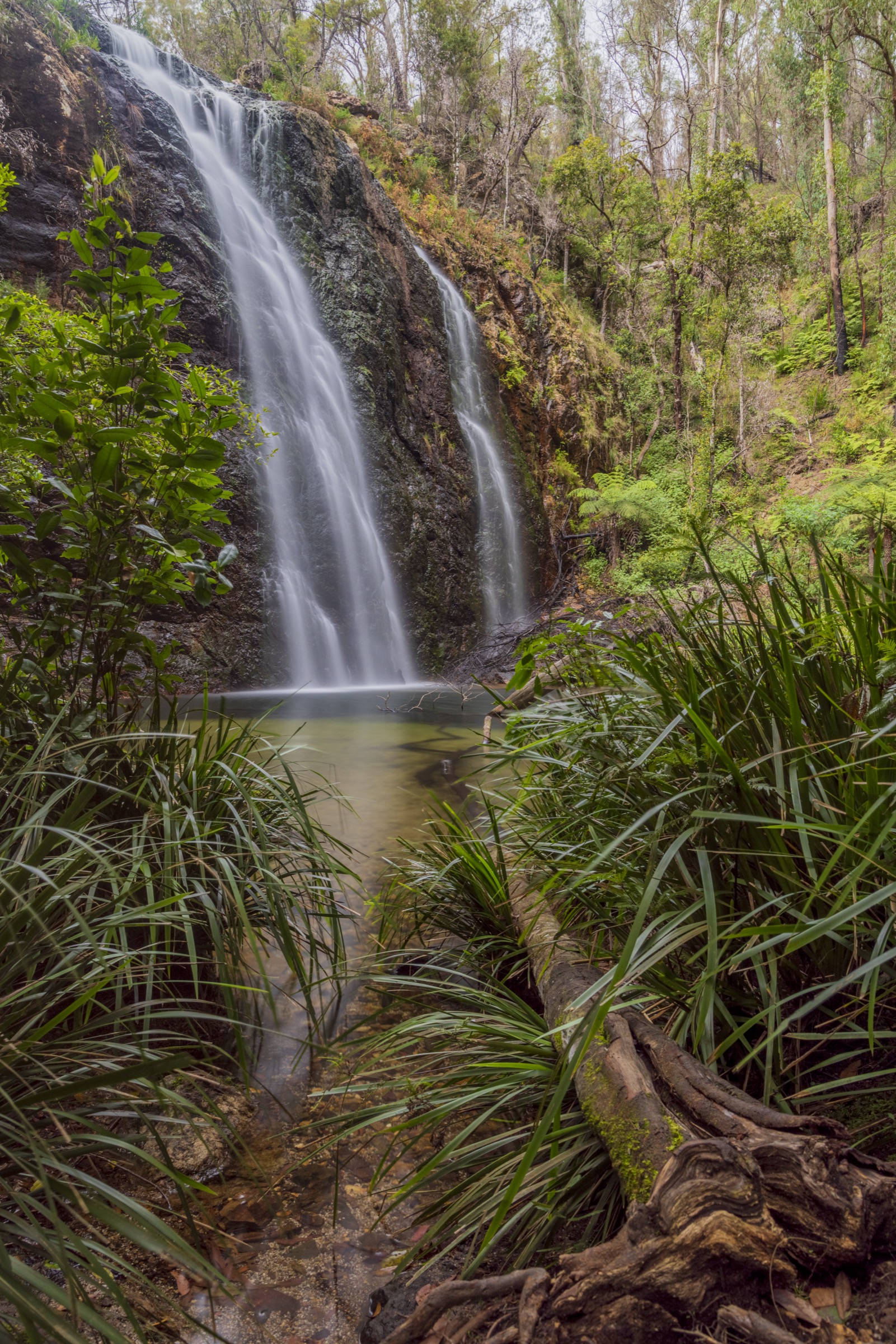
Two short walks share the Boundary Falls picnic area. The 400 m Boundary Falls return walk drops down a stepped track to a rock pool at the base of the falls — small in dry weather, a substantial cascade after rain. The 2 km Lyrebird Falls return walk leaves the same picnic area on a formed track through eucalypt forest, grass trees, tree ferns and wattles to a lookout overlooking the Boundary Creek gorge and the head of the Lyrebird Falls drop. Together they make a compact half-day around a single picnic area on the highway edge of Gibraltar Range National Park.
Why it is essential
This is the region’s essential short waterfall pairing: it puts a full escarpment waterfall walk within a few kilometres of the highway, complements the tor walks to the north and the rainforest circuit to the east, and gives visitors on a short trip a clear taste of the park without the commitment of the Dandahra or Chaelundi loops.
Hazards and notes
- The Boundary Falls stairs are steep and can be slippery after rain.
- The Lyrebird Falls lookout is on the edge of a steep-sided valley — stay behind the guardrail.
- The falls are strongly seasonal; flow can be minor in dry summers.
- The area was fire-affected in 2019–20; check NPWS current alerts for track works.
GPX / KML links
| Source | URL | Format | Notes |
|---|---|---|---|
| NPWS — Lyrebird Falls walking track | nationalparks.nsw.gov.au | Official park page | NPWS website terms; no GPX published |
| NPWS — Gibraltar Range National Park | nationalparks.nsw.gov.au | Official park page | NPWS website terms |
| Brown Signs — Boundary Falls | brownsigns.net.au | Third-party route page | Secondary reference |
Further reading
Missing data
- NPWS does not publish elevation gain, loss or maximum elevation for any of the five walks. Values in the Snapshot panels are drawn from third-party sources (Trail Hiking Australia and AllTrails) or from the 1:25,000 topographic sheets and should be treated as approximate.
- No open-licence GPX or KML file was located for any of the five walks in this pass. Third-party GPX files exist on Trail Hiking Australia, Aussie Bushwalking and AllTrails but are copyright and not reusable here.
- The Dandahra Crags loop distance is quoted as 3 km (Trail Hiking Australia short version to the crag and back) versus 7.1 km (NPWS full circuit via Surveyors Swamp); this article treats the 7.1 km NPWS figure as the reference loop.
- Post-fire recovery on Gibraltar Range National Park’s tracks is ongoing since the 2019–20 Black Summer fires; sections of Anvil Rock, Dandahra Crags and Boundary/Lyrebird Falls have been closed or altered at various times. Check the NPWS local alerts page for the current status before travel.
- Public-transport suitability to individual trailheads was not verified; the region is effectively self-drive only.
Verification status
- Anvil Rock walking track — Route verified against NPWS main page and NPWS visitor info; media verified via Wikimedia Commons (illustrative granite tor image from the same park rather than a specific Anvil Rock shot).
- Dandahra Crags walking track — Route verified against NPWS and Trail Hiking Australia; media verified via Wikimedia Commons.
- Washpool walking track — Route verified against NPWS; media verified via Wikimedia Commons (Coombadjha Creek — the rainforest crossed by the loop).
- Escarpment Walk (Chaelundi) — Route verified against NPWS and Trail Hiking Australia; media verified via Wikimedia Commons using Ebor Falls, which sits at the southern tip of the same park.
- Boundary Falls and Lyrebird Falls — Route verified against NPWS Lyrebird Falls page and third-party notes; media verified via Wikimedia Commons.
Further reading
| Source | URL |
|---|---|
| NPWS — Gibraltar Range National Park | nationalparks.nsw.gov.au |
| NPWS — Washpool National Park | nationalparks.nsw.gov.au |
| NPWS — Guy Fawkes River National Park | nationalparks.nsw.gov.au |
| NPWS — Gibraltar–Washpool World Heritage Walk | nationalparks.nsw.gov.au |
| NPWS — Guy Fawkes River and Chaelundi brochure | nationalparks.nsw.gov.au |
| Aussie Bushwalking — Gibraltar Range National Park | aussiebushwalking.com |
| Wikipedia — Gondwana Rainforests of Australia | en.wikipedia.org |
| Wikipedia — Guy Fawkes River National Park | en.wikipedia.org |