Regional overview
The Xiangxi karst sits in the western, Tujia- and Miao-majority half of Hunan, in the southern foothills of the Wuling Mountains where Ordovician carbonate rock has weathered into red and grey limestone country distinct from the famous quartz-sandstone pillar landscape at Zhangjiajie / Wulingyuan and Tianmen Mountain. The marquee site is the Hongshilin (红石林) Red Stone Forest National Geopark in Guzhang County, where iron-rich Ordovician carbonate weathers to dramatic red corridors, fins and tianchi pools whose colour shifts with rain and light. Around it, Jishou’s Dehang Grand Canyon, the Aizhai Bridge corridor above the gorge, the Furong Town / Wangcun waterfall sector in Yongshun County, and the Mengdong River scenic area together make up the day-hike fabric of the western Hunan karst.
The hiking character is managed-scenic karst: stone-paved viewpoint loops, short canyon walks, stair-climbs to platforms, cliff-edge plank paths, and the occasional waterfall side-corridor. Routes are short relative to Zhangjiajie’s sandstone pillar circuits, but the terrain rewards a slower pace — the appeal is colour, rock texture, water and Tujia / Miao village context rather than length or summit altitude. Hongshilin specifically is smaller and quieter than Wulingyuan, with viewpoint loops that can be completed in half a day and a much lower crowd ceiling outside Chinese public holidays.
Three planning issues dominate every Xiangxi karst day-hike. The first is wet weather: Ordovician carbonate is slick when wet, and the narrow rock corridors at Hongshilin and the staired waterfall paths at Dehang and Wangcun become genuine slip hazards in summer rain. The second is scenic-area management: every site here is a ticketed park with shuttle buses, prescribed loops and seasonal opening hours, and the on-foot route depends on which gates and which intra-park transfers are running on the day. The third is route documentation: AllTrails publishes a verified statistic set for Hongshilin (the marquee entry below), but the Dehang, Aizhai, Furong and Mengdong day walks remain route candidates because no official downloadable GPX/KML files were found — the snapshot fields below honestly flag distance and gain as unresolved for those four entries.
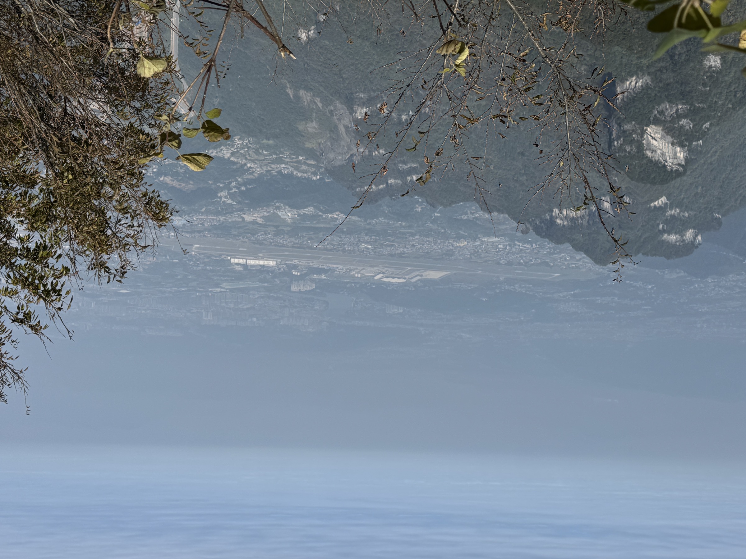
Access is from Zhangjiajie Hehua Airport (DYG) or Tongren Fenghuang Airport (TEN) via the Zhangjiajie–Jishou–Huaihua high-speed rail line and onward bus or taxi to each park gate. Plan on 1–3 h of road or rail from Zhangjiajie city to most trailheads here. For walkers crossing from Wulingyuan, this catalogue is the natural second-day extension out of the Zhangjiajie sandstone circuit and into the karst.
Selection rationale
Five day-hikes are presented across the Xiangxi karst: the Hongshilin Red Stone Forest loop as the verified marquee entry, the Dehang Grand Canyon waterfall walk as the Jishou-area gorge day, the Aizhai Bridge corridor as the high-bridge viewpoint walk above the same canyon, the Furong Town / Wangcun waterfall circuit as the Yongshun river-town entry, and the Mengdong River cascade trail as the quieter water-and-forest counterpoint. The set is built around geological character and access road rather than length: one verified geopark loop and four candidate site walks that each represent a distinct face of the western Hunan karst.
Routes that sit inside the Wulingyuan / Zhangjiajie sandstone landscape — Golden Whip Stream, Huangshizhai, Yuanjiajie, Tianzi Mountain, Yangjiajie — are out of scope here and covered in that sibling article. The Tianmen Mountain cliff paths and Heaven’s Gate are likewise covered in the Tianmen Mountain catalogue.
Summary
| # | Hike | Trailhead | Route type | Distance | Gain | Max elevation | Difficulty |
|---|---|---|---|---|---|---|---|
| 1 | Hongshilin / Red Stone Forest loop | Hongshilin Geopark visitor centre, Guzhang | Out-and-back | 11.1 km | 506 m | 398 m | Moderate |
| 2 | Dehang Grand Canyon waterfall walk | Dehang Miao village scenic area, Jishou | Out-and-back / loop candidate | Unresolved | Unresolved | Unresolved | Moderate |
| 3 | Aizhai Bridge corridor and viewpoint | Aizhai scenic stop, G65 expressway | Out-and-back candidate | Unresolved | Unresolved | Unresolved | Easy–moderate |
| 4 | Furong Town and Wangcun waterfall | Furong Zhen old town, Yongshun | Loop candidate | Unresolved | Unresolved | Unresolved | Easy |
| 5 | Mengdong River cascade trail | Mengdong He scenic area, Yongshun | Out-and-back candidate | Unresolved | Unresolved | Unresolved | Moderate |
1. Hongshilin / Red Stone Forest loop

Snapshot
Itinerary
From the visitor centre and ticket gate, the loop enters the park on stone-paved paths through low forest, then drops into the first red corridor where the Ordovician carbonate rises in narrow walls and fins on both sides. The route follows the signed loop past rock-window features and the tianchi (天池) sky-pool sector — a series of small water-filled basins where the limestone holds rain — before climbing on a short staircase to the upper viewpoints over the red rock plateau. The signed line returns through quieter forested sections back to the gate. The rock changes colour with wetness — deep red after rain, softer ochre when dry — and the corridors photograph best in oblique morning or late-afternoon light.
Why it is essential
Hongshilin is the karst counterpoint to Wulingyuan: where the Zhangjiajie sandstone pillars define the eastern half of the Wuling Mountains catalogue, the red Ordovician carbonate at Hongshilin gives the western half its signature landscape. As the only entry here with verified distance and gain, it also anchors the catalogue with a route that can be walked, timed and ticked off without on-the-day improvisation.
Equipment
- Grippy shoes — wet limestone is slick
- Rain shell and warm mid-layer outside summer
- 2 L water
- Sun protection
- Snack or light lunch — limited food inside the park
- Cash and a mobile-payment app for the ticket gate and any shuttle changes
Hazards and notes
- Wet rock is the principal hazard; the red carbonate becomes slippery in rain and the narrow corridors offer few handholds.
- Crowding spikes around Chinese public holidays (Golden Weeks, Spring Festival, Mid-Autumn); midweek shoulder season is the standard recommendation.
- Confirm opening hours and any seasonal closures at the visitor centre — small geoparks sometimes close after heavy rain.
- Mobile coverage is patchy inside the corridors.
2. Dehang Grand Canyon waterfall walk
Snapshot
Itinerary
From the Dehang scenic-area gate above the Miao village, the standard route descends the gorge stair path through the karst walls of the canyon, with side corridors to the Liusha waterfall (one of the longest single-drop falls in Hunan) and back onto the main loop. Treat the day as a signed gorge-and-waterfall walk, returning to the village along the same line unless the on-the-day visitor map shows a working loop.
Why it is essential
Dehang gives the deep-gorge face of the Xiangxi karst — a slot canyon and waterfall complex set inside a Miao village landscape, the classic counterpoint to Hongshilin’s open red corridors.
Equipment
- Grippy shoes
- Rain shell
- 2 L water plus a light snack
- Sun protection
- Cash / mobile payment for the gate
Hazards and notes
- Stair-heavy descent and re-ascent — the day’s main physical work is the return climb out of the gorge.
- Wet rock and falls spray make the lower sections slick; trekking poles help.
- Confirm current ticketing, shuttle and open-corridor status at the gate — Dehang has reorganised its visitor flow more than once.
3. Aizhai Bridge corridor and viewpoint

Snapshot
Itinerary
From the Aizhai scenic stop on the G65 expressway corridor, signed paths drop to viewpoint platforms looking up at the Aizhai suspension bridge spanning the karst gorge — one of the highest road bridges in the world. The standard visit is a short staired walk to the platforms and back, with optional extensions on the village-side paths if open. Treat this as a short scenic walk rather than a full day.
Why it is essential
Aizhai is the engineering-scale viewpoint of the Xiangxi karst — the human-built counterpart to Hongshilin’s rock and Dehang’s water — and pairs naturally with a Dehang gorge day from the same Jishou base.
Equipment
- Grippy shoes
- Sun protection
- 1 L water
- Camera with a wide-angle option — the bridge fills the frame from most platforms
Hazards and notes
- Cloud and fog often hide the bridge; check conditions before committing.
- Some viewpoint access is drive-up rather than walk-in; pedestrian routing from the expressway corridor is limited.
- Confirm current visitor access — the Aizhai sector’s pedestrian pattern changes with road and bridge maintenance.
4. Furong Town and Wangcun waterfall

Snapshot
Itinerary
From the Furong Town entrance, the standard pedestrian visit follows the stilt-house lanes down to the waterfall platform above the Youshui River, then loops back along the riverbank stair paths and the old-town frontage. Treat this as a short cultural-landscape walk rather than a hike — the appeal is the Tujia stilt-house cluster framed by the waterfall and the river, not distance or gain.
Why it is essential
Furong is the river-town entry in the catalogue — a Tujia stilt-house landscape draped above a working waterfall, and the easiest way for visitors based in Yongshun to combine a Hongshilin or Mengdong day with a half-day cultural walk.
Equipment
- Grippy shoes — the lanes are wet at the waterfall platform
- Light rain shell
- 1 L water
- Cash / mobile payment for the gate and any village fees
Hazards and notes
- Wet stone on the waterfall-side lanes is the main slip hazard.
- The town is a working tourist landscape with high midday crowds; early morning is the best time for clean photographs.
- Some lanes are steep; descend slowly in rain.
5. Mengdong River cascade trail

Snapshot
Itinerary
From the Mengdong He scenic-area access, follow the signed riverside paths through forest and past cascading sections of the river, with platform viewpoints over the pools and falls. The Mengdong is also a popular rafting river; the pedestrian visit is the quieter, dry-foot counterpart to the raft trip and stays close to the water. Treat the day as an out-and-back river walk unless an explicit loop is signed at the gate.
Why it is essential
Mengdong is the catalogue’s quieter water entry — a forested river cascade landscape that completes the karst-and-water spectrum alongside Hongshilin’s red rock, Dehang’s gorge waterfall, Aizhai’s bridge view and Furong’s town waterfall.
Equipment
- Grippy shoes — riverbank stone is slick
- Light rain shell
- 2 L water
- Sun protection
- Insect repellent in warm months
Hazards and notes
- Wet rock beside the cascades is the main slip hazard.
- River raft traffic can be loud in summer — early starts are quieter.
- Mobile coverage is patchy in the forested sections.
Routes excluded as out of scope
The following sit inside or adjacent to the western Hunan karst country but fall outside this catalogue, are duplicative of the five above, or belong to a sibling article.
- Golden Whip Stream, Huangshizhai, Yuanjiajie, Tianzi Mountain and Yangjiajie. Covered in the Wulingyuan / Zhangjiajie catalogue — sandstone-pillar landscape, out of scope here.
- Tianmen Mountain cliff paths, Heaven’s Gate and the 999-step Sky Ladder. Covered in the Tianmen Mountain catalogue.
- Fenghuang Ancient Town walking tour. A heritage / urban walk rather than a day-hike — out of scope as a hiking entry, though a natural pairing with Aizhai and Dehang for visitors based in Jishou.
- Multi-day Wuling traverses. Multi-day route work; outside the day-hike scope of this catalogue.
External links
| Source | URL |
|---|---|
| AllTrails — Red Rock Forest (Hongshilin) | alltrails.com |
| UNESCO World Heritage Centre — Wulingyuan (regional context) | whc.unesco.org |
| Wikipedia — Wulingyuan | en.wikipedia.org |
| Wikipedia — Tianmen Mountain | en.wikipedia.org |
| Wikipédia — Forêt de pierres rouges (Hongshilin) | fr.wikipedia.org |
| Wikimedia Commons — Wulingyuan category | commons.wikimedia.org |
| Wikimedia Commons — Tianmen Mountain category | commons.wikimedia.org |
| OpenStreetMap — Hongshilin search | openstreetmap.org |
| OpenStreetMap (ODbL 1.0) | openstreetmap.org |