Regional overview
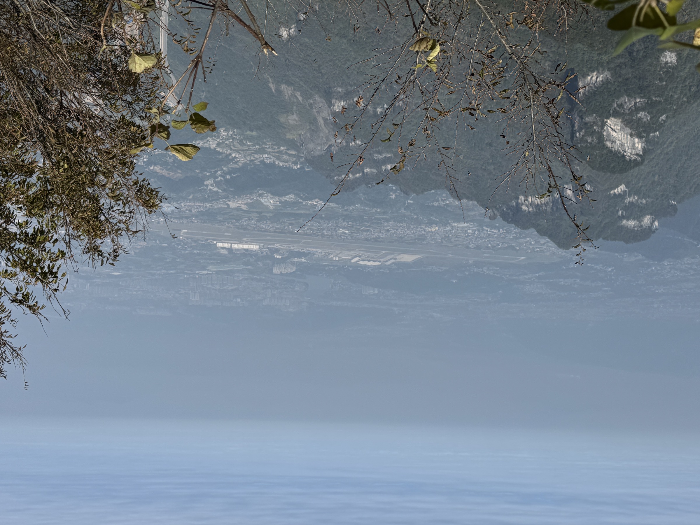
Fanjingshan (梵净山) is the highest and most distinctive mountain mass of the Wuling range in Guizhou, rising within the Tongren / Jiangkou / Yinjiang / Songtao area. UNESCO describes the World Heritage property as a metamorphic-rock “island” in a karst landscape, with altitude from ~500 m to 2,570 m, subtropical forest, endemic Fanjingshan fir and Guizhou snub-nosed monkey habitat, and major Buddhist cultural significance.
The hiking character is compact and highly managed: steep stone stairways, scenic-area shuttles, cableway access, short but exposed summit spurs, old pilgrimage approaches and strict opening-hour and weather controls. Public route data is thinner than for many global hiking regions. Two summit routes have current AllTrails statistics; the remaining essential summit and pilgrimage walks are included because they are central to the mountain, with route statistics left unresolved where no public data was found. For neighbouring Wuling sub-regions, see Wulingyuan / Zhangjiajie, Hunan and Tianmen Mountain, Hunan.
Selection rationale
These five walks represent the core Fanjingshan experience: the full south-side stair ascent, the upper Mushroom Rock route, the Red Clouds Golden Summit spur, the Old Golden Summit / Laojinding spur, and the Yinjiang west-side pilgrimage approach. The mountain is compact, so several hikes share the summit zone; they are separated because the route character and cultural / scenic focus differ.
Summary table
| # | Hike | Route type | Distance | Gain | Max elevation | Difficulty |
|---|---|---|---|---|---|---|
| 1 | South Gate stair climb to Mushroom Rock | Out-and-back stair ascent | 10.5 km | 1,331 m | 2,305 m | Hard |
| 2 | Wanmingdong Cave to Mushroom Rock | Out-and-back upper route | 5.8 km | 534 m | 2,413 m | Hard |
| 3 | Red Clouds Golden Summit spur | Short summit spur | Unresolved | Unresolved | ~2,336 m | Hard / exposed |
| 4 | Old Golden Summit / Laojinding spur | Out-and-back summit spur | Unresolved | Unresolved | ~2,494 m | Hard |
| 5 | Yinjiang west pilgrimage path via Huguo Temple | Historic pilgrimage ascent | Unresolved | Unresolved | Golden Summit area | Hard |
1. South Gate stair climb to Mushroom Rock

Snapshot
Itinerary
The strenuous foot-ascent version of Fanjingshan from the Jiangkou / Heiwan River side. The route climbs the long stone-stair system through subtropical forest into the upper scenic zone, reaching the Mushroom Rock area before returning the same way. It is the best day-hike option for walkers who want the physical ascent rather than a cableway-assisted visit.
Why it is essential
It gives Fanjingshan as a mountain rather than a viewpoint: forest zones, the famous stair-pilgrimage feel and the classic summit-rock scenery.
Equipment, hazards and notes
Mountain hiking kit: grippy shoes, rain shell, warm layer, water, food and a headlamp in case of delays. Access depends on scenic-area ticketing, opening hours, shuttle rules and weather closures.
GPX / route file
| Source | URL | Format | Reuse status |
|---|---|---|---|
| AllTrails — Mushroom Rock via Fanjingshan | alltrails.com | Source map | Source statistics only |
| OpenStreetMap — Mount Fanjing node | openstreetmap.org | OSM | Cross-check only |
External links
2. Wanmingdong Cave to Mushroom Rock

Snapshot
Itinerary
A shorter but still steep upper route linking Wanmingdong Cave with the Mushroom Rock area. The route stays in the summit zone, passing forest, rock formations and Buddhist cultural features before returning the same way.
Why it is essential
Mushroom Rock is Fanjingshan’s most recognisable natural landmark and a practical objective when weather, queues or time make the full mountain ascent unrealistic.
Equipment, hazards and notes
Grippy shoes and wet-weather layers. Shorter than the full ascent but still steep and high. Fog, queues, wet stone and winter ice are the main issues.
GPX / route file
| Source | URL | Format | Reuse status |
|---|---|---|---|
| AllTrails — Wanmingdong Cave to Mushroom Rock | alltrails.com | Source map | Source statistics only |
| OpenStreetMap — search “Mushroom Rock Fanjingshan” | openstreetmap.org | OSM | Cross-check only |
External links
3. Red Clouds Golden Summit spur

Snapshot
Itinerary
From the summit service area near Cheng’en Temple / Pudu Square, climb the narrow stair system up the cleft rock tower of the Red Clouds Golden Summit. The summit holds Buddhist halls on the two sides of the split rock, linked by a small bridge. Descend by the signed one-way or controlled route as directed by staff.
Why it is essential
This is the iconic image of Fanjingshan: the narrow temple-topped pinnacle, cloud forest and Buddhist sacred-mountain setting.
Equipment, hazards and notes
Grippy footwear and hands free for rails. Do not attempt in thunder, ice, high wind or if staff close the spur. Exposure, congestion, one-way controls and queue systems are central hazards.
GPX / route file
| Source | URL | Format | Reuse status |
|---|---|---|---|
| OpenStreetMap — search “Red Clouds Golden Summit” | openstreetmap.org | OSM | Source-map only |
External links
4. Old Golden Summit / Laojinding spur

Snapshot
Itinerary
From the upper scenic route around Mushroom Rock and Cheng’en Temple, follow signed stairs towards Laojinding / Old Golden Summit, traditionally associated with the Burning Lamp Hall and the older Fanjingshan pilgrimage focus. Return to the summit-zone path by the marked route.
Why it is essential
Old Golden Summit is the higher and older sacred high point of the public summit zone, balancing the more photographed Red Clouds Golden Summit with a broader view of the mountain’s religious geography.
Equipment, hazards and notes
Normal mountain day-hike kit. Wet stairways, fog, cold wind, ice and fatigue from repeated stair climbs are the main hazards. Check whether the spur is open before committing.
GPX / route file
| Source | URL | Format | Reuse status |
|---|---|---|---|
| OpenStreetMap — search “Laojinding Fanjingshan” | openstreetmap.org | OSM | Source-map only |
External links
5. Yinjiang west pilgrimage path via Huguo Temple

Snapshot
Itinerary
The west-side pilgrimage line is described in Chinese-language sources as the Yinjiang route from Huguo Temple through Zhongling Temple and Baifo Platform towards the Golden Summit. It is historically important because it preserves the older west approach and gives the mountain’s Buddhist landscape a different orientation from the more heavily used Jiangkou / east side.
Why it is essential
This is the cultural counterweight to the modern east-gate tourist ascent: an older pilgrimage approach tied to Huguo Temple, Baifo Platform and the west face of the sacred mountain.
Equipment, hazards and notes
Treat as a serious mountain route until current official access and trail condition are confirmed. Full day-hike equipment, offline maps, food and water. Access may be restricted by nature-reserve management, opening hours, transport rules or weather.
GPX / route file
| Source | URL | Format | Reuse status |
|---|---|---|---|
| OpenStreetMap — search “Huguo Temple Fanjingshan” | openstreetmap.org | OSM | Source-map only |