Regional overview
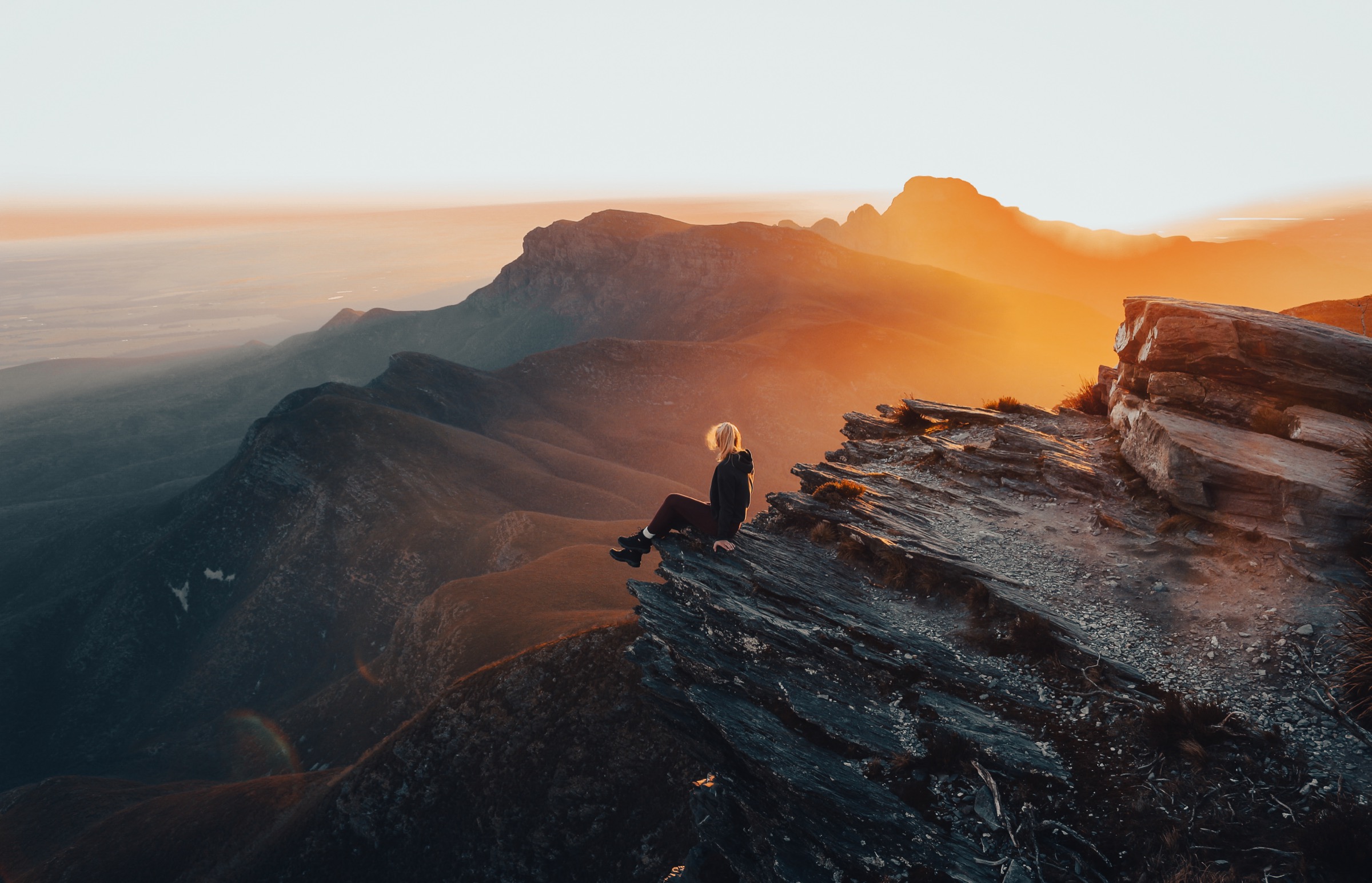
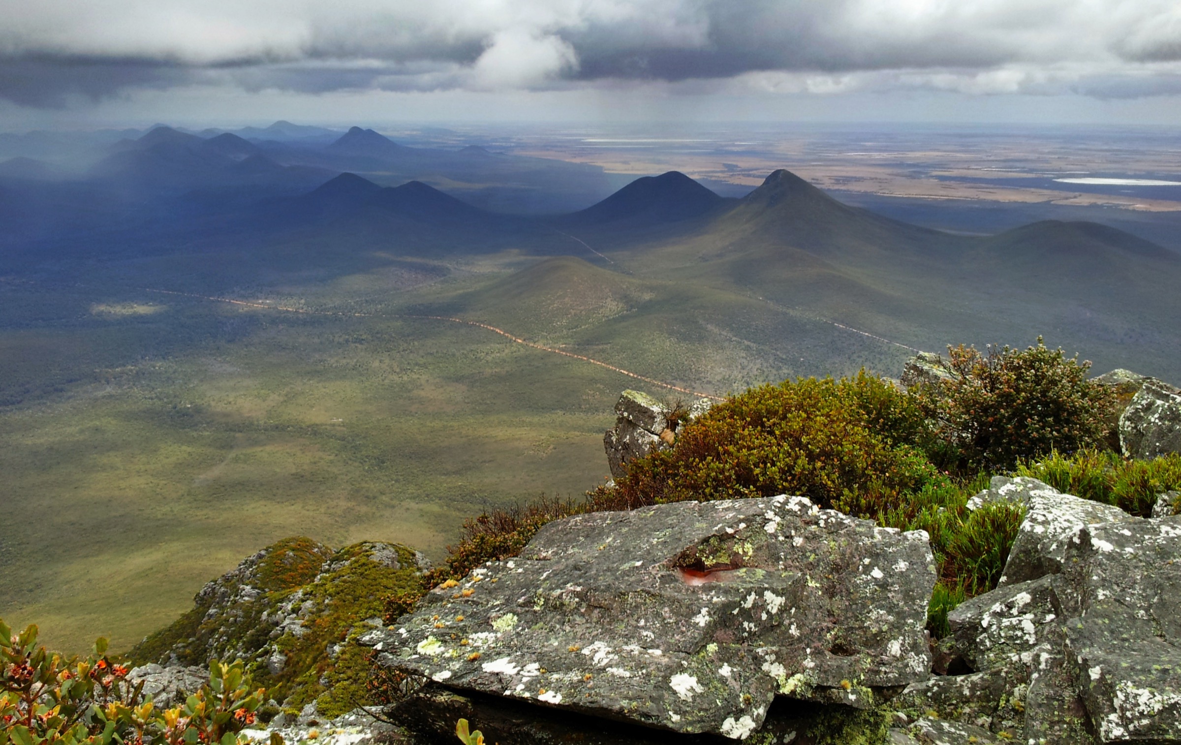
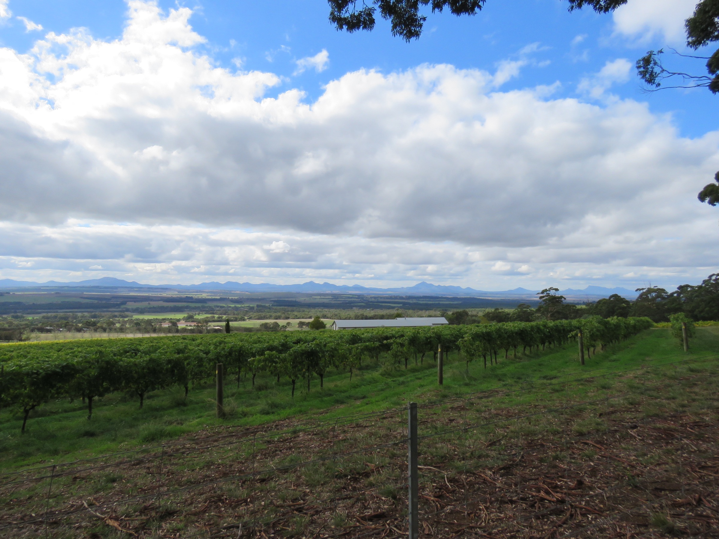
Porongurup National Park protects a short, sharp granite range about 360 km south-east of Perth, 40 km north of Albany and 23 km south-east of Mount Barker in the Great Southern region of Western Australia. The range runs roughly 12 km east–west and rises to about 670 m at Devils Slide, its highest point. Domed granite peaks — the eroded core of a Mesoproterozoic intrusion emplaced during the Australia–Antarctica collision at around 1.1–1.2 billion years ago — sit above surrounding cleared farmland and hold a compact but genuinely alpine-feeling walking network of six signposted routes. The park was gazetted in 1971 and is National Heritage listed.
The range is Menang Noongar country. Recorded interpretations of the name Porongurup vary, with published meanings including “place of totem spirits” and “sound of thunder” attributed to Menang Elders; local walkers are asked to camp on the plains rather than in the range itself and to keep to the marked tracks. DBCA has restored several Noongar place names in partnership with the local community, most visibly at Karri boya-k (“Tree in the Rock”), the Bolganup picnic area that anchors the western trailheads, and along the Walitj Meil (“Eagle Eye”) interpretive loop at Castle Rock.
Porongurup is one of the few Western Australian parks where karri (Eucalyptus diversicolor) grows away from the wet karri belt near Pemberton, several hundred kilometres to the west. The range’s altitude wrings rain out of the westerly weather and creates a cool, moist micro-climate that also supports jarrah, marri and yate, along with more than 700 native plant species. Wildflowers peak in September–November. A large fire on 11 February 2007 burnt roughly half of the park; regeneration is well advanced but visible in patches, particularly along the Wansbrough Walk.
Access is from Porongurup Road, which runs east–west along the southern base of the range. Bolganup Road leads to Karri boya-k (western trailhead cluster: Devils Slide, Nancy Peak Circuit, Wansbrough Walk). Castle Rock Road leads to the eastern picnic area for the Castle Rock / Granite Skywalk and Walitj Meil walks. Millinup Pass Road on the north side of the range serves the northern end of the Wansbrough Walk. A standard DBCA vehicle entry fee applies at Bolganup and Castle Rock; walkers and cyclists enter free. Verify current fees at exploreparks.dbca.wa.gov.au before travel.
Selection rationale
The five walks were chosen to give a full picture of a compact range in a single trip. Castle Rock and the Granite Skywalk is the park’s iconic engineered summit route and includes the classic Balancing Rock stop. Devils Slide climbs the range’s highest peak on exposed granite slab and is the region’s strenuous summit walk. The Nancy Peak Circuit links Hayward Peak, Nancy Peak and Morgans View in a single loop from the western trailhead and gives the widest panorama in the park. The Wansbrough Walk traverses the karri gully between Nancy Peak and Devils Slide, and is the essential forest walk. Walitj Meil is the cultural counterpart to the summit walks, a short interpretive loop developed with local Noongar cultural officers. Together they cover a signature summit, a strenuous granite dome, a ridge circuit, a forest traverse and a cultural loop.
Summary
| # | Hike | Country | Route type | Distance | Gain | Max elevation | Difficulty |
|---|---|---|---|---|---|---|---|
| 1 | Castle Rock and the Granite Skywalk | Australia | Out-and-back | 4.4 km | ~300 m | ~558–570 m | Grade 4 |
| 2 | Devils Slide | Australia | Out-and-back | 5 km | ~340 m | 670 m | Grade 4–5 |
| 3 | Nancy Peak Circuit (Hayward, Nancy, Morgans View) | Australia | Loop | 5.5 km | ~400–490 m | ~644–652 m | Grade 4 |
| 4 | Wansbrough Walk | Australia | Point-to-point (or return) | 4 km one-way / 8 km return | ~260 m one-way | ~500–520 m at pass (approx.) | Grade 4 |
| 5 | Walitj Meil (Eagle Eye) interpretive loop | Australia | Loop | ~1 km | Minimal | ~300 m | Grade 2–3 |
1. Castle Rock and the Granite Skywalk
Snapshot
Itinerary
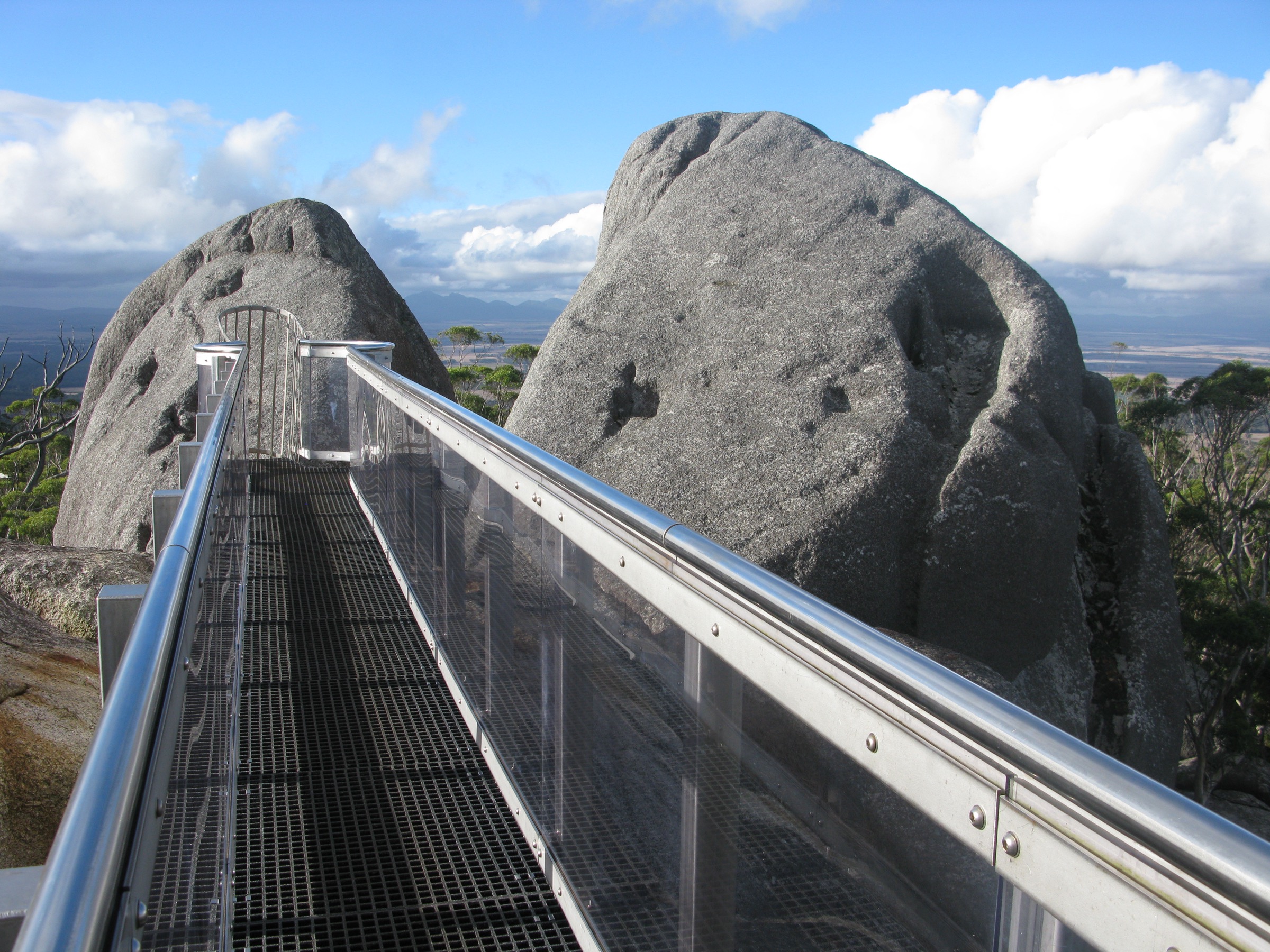
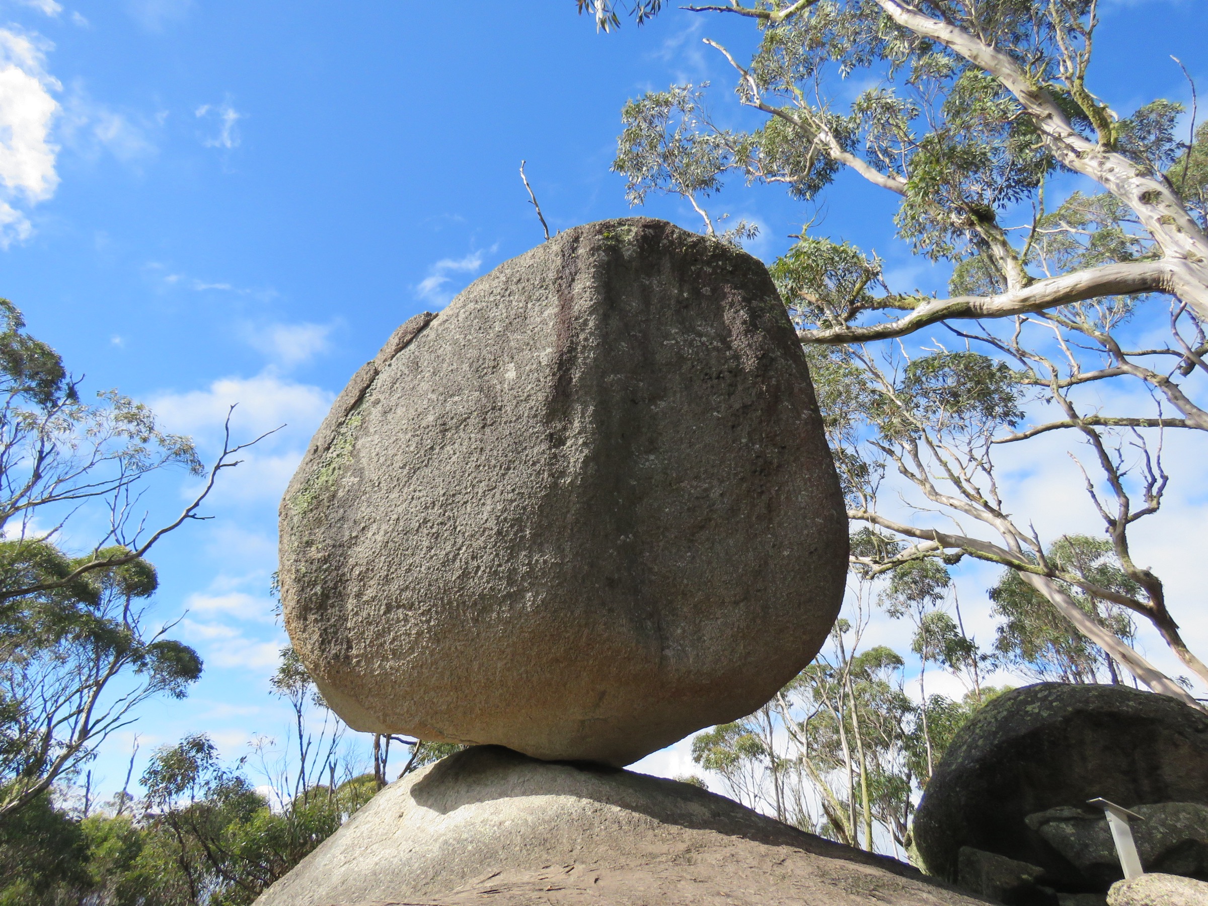
The trail leaves the Castle Rock picnic area at the end of Castle Rock Road and climbs on a well-formed path through jarrah, marri and karri forest towards the eastern granite dome of the range. At about 2 km in, the route passes Balancing Rock, a large boulder resting on a small tor and photographed by essentially every party that comes through. From Balancing Rock the path becomes steeper and more open, contouring across bare granite slabs on the shoulder of the dome. A short engineered section with steel handholds leads to the base of a six- to seven-metre vertical steel ladder. Above the ladder, a suspended steel platform — the Granite Skywalk — rings the summit and gives a full 360° view across the karri forest, north to the Stirling Range, and south to King George Sound at Albany. Return is on the same line.
Why it is essential
Castle Rock and the Granite Skywalk is the park’s flagship walk and the most-photographed route in the Great Southern. The combination of the Balancing Rock stop, the engineered summit walkway and the view across to the Stirlings and Southern Ocean makes it the single walk almost every visitor to the park does. No other walk in Porongurup covers the same range of terrain in such a short distance.
Equipment
- Sturdy walking shoes with good grip (granite is slippery when wet)
- Sun protection: broad-brimmed hat, sunscreen, long sleeves
- 1.5–2 L water
- Weatherproof and warm layer
- Camera
- No fear of exposure — the ladder and platform are engineered but the drop is real
Hazards and notes
- The ~6–7 m vertical steel ladder is a serious pinch point for parties with vertigo; consider turning back at Balancing Rock instead.
- Wet granite on the upper slab and ladder section is genuinely hazardous — do not attempt in rain or immediately after.
- Bottlenecks form at the ladder in peak season; early morning starts avoid the queue.
- Dogs are not permitted in the park.
- Snake activity from spring through autumn.
- DBCA vehicle entry fee applies at the Castle Rock car park.
Photos
Photos not shown in the figures are given as candidates.
| Image | Source | Author | Licence | Notes |
|---|---|---|---|---|
| Granite Skywalk at Castle Rock summit | Wikimedia Commons | Laurent MARSOL | CC BY-SA 3.0 | Used above as cover figure |
| Balancing Rock on the Castle Rock Trail | Wikimedia Commons | Calistemon | CC BY-SA 4.0 | Used above |
GPX / route file
| Source | URL | Format | Notes |
|---|---|---|---|
| DBCA — Granite Skywalk site page | exploreparks.dbca.wa.gov.au | Web page | Official route reference; no direct GPX download |
| Trails WA — Castle Rock | trailswa.com.au | Web page + GPX | Trails WA app hosts a downloadable GPX (registration required) |
Sources
- DBCA — Porongurup National Park
- DBCA — Granite Skywalk
- Trails WA — Castle Rock
- Wikipedia — Porongurup National Park
2. Devils Slide
Snapshot
Itinerary
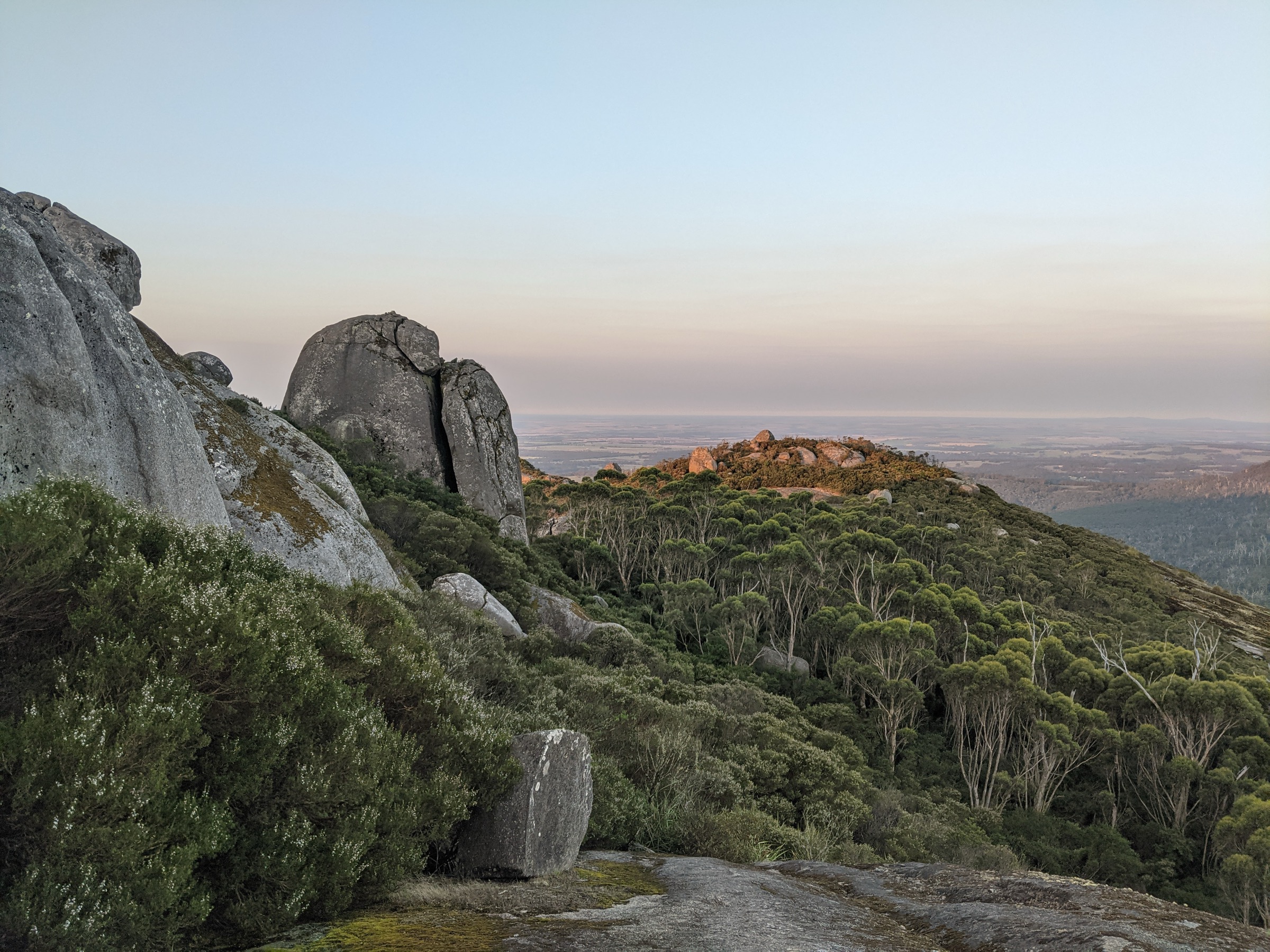
The Devils Slide trail leaves the Karri boya-k picnic area on Bolganup Road and shares its first ~1.6 km with the Wansbrough Walk, climbing through karri and marri forest towards the base of the range. At the signposted junction, the Devils Slide spur turns east and climbs steeply through jarrah and yate onto the granite shoulder of the summit dome. The upper section is essentially open granite slab — the “slide” of the name — with no fixed protection, and the route requires steady footwork and dry rock. The summit itself is a rounded granite crown at 670 m, giving a wide panorama across the karri gully to Nancy Peak, north to the Stirling Range, and south to the coastal plain. Return is on the same line, or combined with the Nancy Peak Circuit for a longer loop (see Hike 3).
Why it is essential
Devils Slide is the range’s highest point and the region’s classic strenuous summit walk. The upper granite slab is genuinely open and steep, and gives a much more exposed feeling than the engineered Castle Rock route. For fit walkers wanting a proper mountain feel in the Porongurups, this is the route.
Equipment
- Approach shoes or boots with good rubber on granite
- Sun protection
- 2 L water
- Weatherproof and warm layer for the summit
- Trekking poles useful on the descent
- Map/GPS
Hazards and notes
- The upper granite slab is very steep and completely unprotected. In wet conditions the friction disappears and the route becomes dangerous — do not attempt in rain.
- Sun exposure on the upper section is total; no shade above the karri belt.
- Snake activity through the warmer months.
- Dogs not permitted.
- DBCA vehicle entry fee applies at Karri boya-k.
Photos
| Image | Source | Author | Licence | Notes |
|---|---|---|---|---|
| Devils Slide framed from Nancy Peak | Wikimedia Commons | Aaimyep | CC BY-SA 4.0 | Used above; no strong CC image of Devils Slide summit itself was located |
Photo status: No licence-compatible on-summit image found in this pass. The Nancy Peak framing is used as the closest available substitute.
GPX / route file
| Source | URL | Format | Notes |
|---|---|---|---|
| DBCA — Porongurup National Park | exploreparks.dbca.wa.gov.au | Web page | Official route reference; no direct GPX download |
| Trails WA — Devils Slide | trailswa.com.au | Web page + GPX | Downloadable route in the Trails WA app |
Sources
3. Nancy Peak Circuit — Hayward Peak, Nancy Peak and Morgans View
Snapshot
Itinerary
The Nancy Peak Circuit leaves Karri boya-k on the same forest track as Devils Slide and, at the signposted junction, turns west onto the Nancy Peak spur. The path climbs steeply through karri and moss-covered granite tors — DBCA has recently installed roughly 1,300 stone steps on the eroded upper section — and gains Hayward Peak first. The ridge then rolls east to Nancy Peak at approximately 644–652 m, which gives the broadest view in the park across to Devils Slide, the Stirlings and the coastal plain. From Nancy Peak the loop drops south-east to Morgans View, a shoulder platform above the karri gully, and then descends back through open forest to the trailhead. Adding the Devils Slide spur from the same junction turns the day into a genuine ridge traverse of the range’s three main viewpoints.
Why it is essential
The Nancy Peak Circuit is the essential ridge walk of the Porongurups. It links Hayward Peak, Nancy Peak and Morgans View in a single 5.5 km loop and gives, from Nancy Peak, the widest single panorama the range offers. The route is comfortably done as a half-day and folds neatly into a full-day option with Devils Slide.
Equipment
- Sturdy walking shoes or light boots
- Sun protection
- 2 L water
- Weatherproof and warm layer
- Trekking poles helpful on the stone steps
- Map/GPS
Hazards and notes
- The stone-step sections are steep and hard on knees; save some legs for the descent.
- Granite summits are exposed and slippery when wet.
- Signposting is generally good but the summit junctions can be confused in mist.
- Snake activity through the warmer months.
- DBCA vehicle entry fee applies at Karri boya-k.
GPX / route file
| Source | URL | Format | Notes |
|---|---|---|---|
| DBCA — Porongurup National Park | exploreparks.dbca.wa.gov.au | Web page | Official route reference; no direct GPX download |
| Trails WA — Nancy Peak | trailswa.com.au | Web page + GPX | Downloadable route in the Trails WA app |
Sources
4. Wansbrough Walk (Karri boya-k to Millinup Pass)
Snapshot
Itinerary
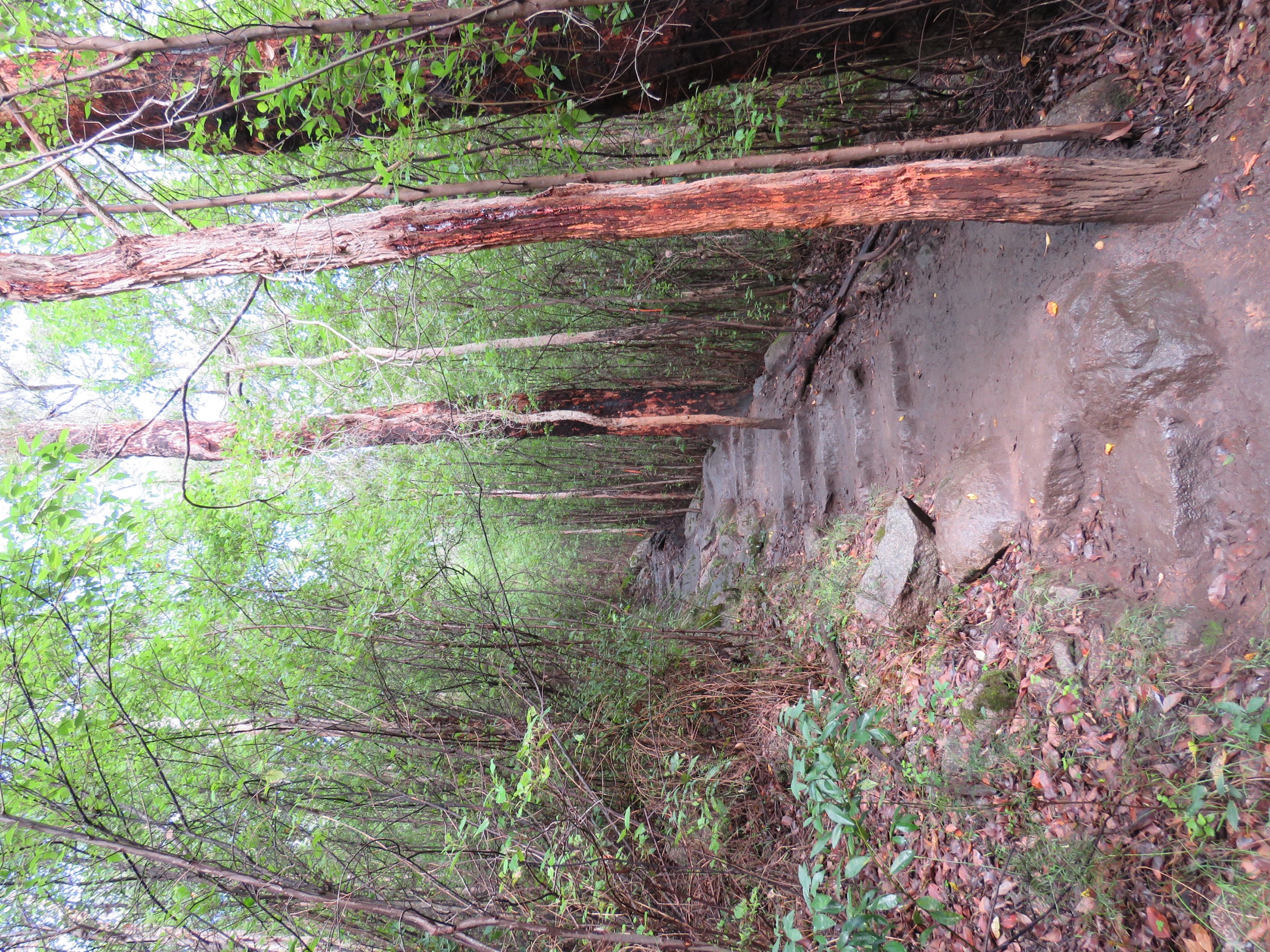
The Wansbrough Walk crosses the range through the gully between Nancy Peak and Devils Slide, and is the essential forest walk of the Porongurups. From Karri boya-k it climbs steadily through a tall karri stand — the disjunct karri outlier is one of the park’s signature features — and then eases onto the shoulder of Wansbrough Pass, the low col between the two peaks. The northern descent drops through more open jarrah–marri forest towards Millinup Pass Road and the historic Waddy’s Hut area. Walked as a car-shuttle traverse the route is 4 km one-way; walked as an out-and-back it is 8 km with the second climb of the day back over the pass.
Why it is essential
Wansbrough Walk is the only route in the park that crosses the range from south to north through the karri gully, and it is the essential complement to the ridge walks. In hot weather it is the most forgiving of the strenuous walks, and it is the best introduction to the range’s disjunct karri outlier.
Equipment
- Walking shoes or light boots
- 1.5–2 L water
- Weatherproof layer (the gully catches rain)
- Sun protection for the shoulder sections
- Map/GPS — the route is quieter than Castle Rock and self-reliance matters
- Trekking poles helpful on the descent
Hazards and notes
- Wet rocks on the pass shoulder — take care in and after rain.
- Snakes in warmer months.
- Northern trailhead access on Millinup Pass Road can be rough after rain; check the current road condition before arranging a shuttle.
- Waddy’s Hut near the northern trailhead is a heritage hut, not overnight accommodation.
- Dogs not permitted.
- DBCA vehicle entry fee applies at Karri boya-k.
GPX / route file
| Source | URL | Format | Notes |
|---|---|---|---|
| DBCA — Porongurup National Park | exploreparks.dbca.wa.gov.au | Web page | Official route reference |
| Trails WA — Wansborough Walk | trailswa.com.au | Web page + GPX | Downloadable route in the Trails WA app |
Sources
- DBCA — Porongurup National Park
- Trails WA — Wansborough Walk
- DCCEEW — Porongurup National Park National Heritage entry
5. Walitj Meil (Eagle Eye) interpretive loop
Snapshot
Itinerary
Walitj Meil (“Eagle Eye” in Menang Noongar language) is a short interpretive loop from the Castle Rock picnic area, developed by the Friends of the Porongurup Range with DBCA and Noongar cultural officers from South Coast NRM. The path leaves the picnic area on the same forest track as Castle Rock, then branches south into open jarrah–marri woodland with a series of interpretive signs. The signage covers Menang totemic connections — the wedge-tailed eagle (walitj), the raven (wardong), marri and yate — as well as colonial land-use history and the flora and fauna of the range. The loop returns to the picnic area past a short granite viewpoint. The route is the strongest explicit cultural experience in the park.
Why it is essential
Walitj Meil is the cultural counterpart to the Castle Rock and Nancy Peak summit walks, and the single walk that most clearly explains what the range means to its Traditional Owners. It shares the Castle Rock trailhead and is a natural add-on to any half-day here.
Equipment
- Walking shoes
- Sun protection
- 500 mL water
- Camera
Hazards and notes
- Standard bushwalk hazards; snakes in warmer months.
- The interpretive signs occasionally need maintenance — some may be faded or missing at any given time.
- DBCA vehicle entry fee applies at the Castle Rock car park.
- Dogs not permitted.
GPX / route file
| Source | URL | Format | Notes |
|---|---|---|---|
| Gondwana Link — Walitj Meil trail opening | gondwanalink.org | Article | Background on the trail’s cultural development |
| Mount Barker Tourism — trails list | mountbarkerwa.com.au | Web page | Regional trail listing |
Sources
- DBCA — Porongurup National Park
- Gondwana Link — Walitj Meil walk trail opening
- Heartland Journeys — Ancient range reveals totems
Region-level sources
| Source | URL |
|---|---|
| DBCA — Porongurup National Park | exploreparks.dbca.wa.gov.au |
| DBCA — Porongurup National Park visitor guide (PDF) | exploreparks.dbca.wa.gov.au |
| DBCA — Karri boya-k / Tree in the Rock | exploreparks.dbca.wa.gov.au |
| DBCA — Granite Skywalk | exploreparks.dbca.wa.gov.au |
| Trails WA — Porongurup network | trailswa.com.au |
| DBCA — Park alerts | exploreparks.dbca.wa.gov.au |
| Wikipedia — Porongurup National Park | en.wikipedia.org |
| Wikipedia — Porongurup Range | en.wikipedia.org |
| Friends of the Porongurup Range | porongurup.org.au |
| DCCEEW — Porongurup National Heritage entry | dcceew.gov.au |
| Heartland Journeys — Ancient range reveals totems | heartlandjourneys.com.au |
Further reading
Nearby Stirling Porongurup guides on Storm
- Bluff Knoll and Eastern Stirling Range
- Central Stirling Range
- DBCA — Park feature: Porongurup National Park
- Friends of the Porongurup Range — flora and fauna
- Wikipedia — Menang / Minang people
- Australian Geographic — Porongurup Range profile
Missing data / follow-up work
- DBCA does not publish direct GPX/KML downloads for individual Porongurup walks on its site pages. Trails WA hosts downloadable GPX in its app for Castle Rock, Devils Slide, Nancy Peak and Wansbrough Walk, but registration is required and the licence for redistribution is not stated.
- Trailhead elevations for Castle Rock (~260 m) and Karri boya-k (~330 m) are approximated from topographic reading; no official DBCA figure was located.
- Elevation gains for Devils Slide (~340 m) and the Nancy Peak Circuit (~400–490 m) are derived from summit heights and third-party trackers, with wider variance than an official figure would give.
- Hayward Peak’s summit elevation was not independently verified; Nancy Peak is quoted as 644 m (Wikipedia) and 652 m (PeakVisor).
- Wansbrough Pass maximum elevation (~500–520 m) is estimated from topography; no official figure was located.
- Recorded Noongar meanings of the name “Porongurup” vary between published sources; the article follows Menang Elder attribution where possible. A single settled meaning has not been recorded here.
- No licence-compatible Wikimedia Commons photo of the Devils Slide summit itself was found in this pass; a Nancy Peak framing is used as a substitute. A future pass could search Flickr Creative Commons for a stronger candidate.
- DBCA vehicle entry-fee figures change from year to year; confirm current fees on the DBCA page before travel.